Islip Saddle - South Fork - Vincent Gap - PCT
Posted: Tue Sep 06, 2011 11:02 am
This past Saturday morning, Turtle and I met up at 0430 along Angeles Crest Highway in La Canada Flintridge and headed up to Islip Saddle. At 0524 we were on the hoof headed down the South Fork trail. We knew that there would be water en-route, so we each started the day carrying around three liters. The canyon above this fork of Big Rock Creek is so beautiful, it's almost a shame to hike it in the dark. We made South Fork campground around 0716. The holiday weekend crowd was fairly light and quiet while we stopped for a quick snack. The Manzanita trail was getting warm and buggy as we progressed towards Vincent Gap. There was ample water flow in all the usual places, save for the Dorr Canyon wash area. Following a brief rest at Vincent, we started up the PCT to Mount Baden-Powell's summit. I started draggin' a bit for the second half of this stretch, and told Turtle that I'd meet him on B-P, doing so around 1204. Following a brief rest, we headed down Baden-Powell's west ridge to where it intersects the Pacific Crest Trail. I stayed on this trail while Turtle tagged Throop Peak, rejoining him at the Hawkins Ridge cutoff around 1353. We then decided to add Mount Islip to our route and proceeded westward, arriving on said peak around 1450. Around this point, we had exhausted our water supplies and would otherwise have been salivating at the thought of the nearby Little Jimmy spring. We arrived there around 1526 and took our final break of the day. Turtle started up the trail just before me. As I got up, I noticed the small Crotalus Oreganus that had been peacefully coiled up on the ground nearby. The commotion, and my photographing it, got it excited enough to watch us for a moment before deciding to move into the brush. Little Jimmy campground was unusually empty for a beautiful Labor Day Saturday. Have to remember this for next year. We arrived back at Islip Saddle around 1622 PDT.
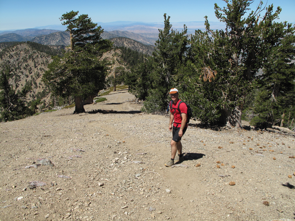
The good Dr. Turtle starting down Baden-Powell's west ridge.
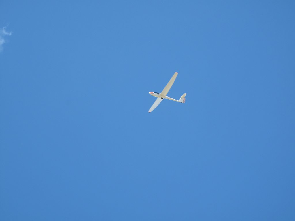
Glider over the B-P ridge.
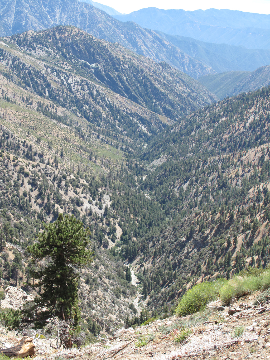
View down the Iron Fork of the San Gabriel River.
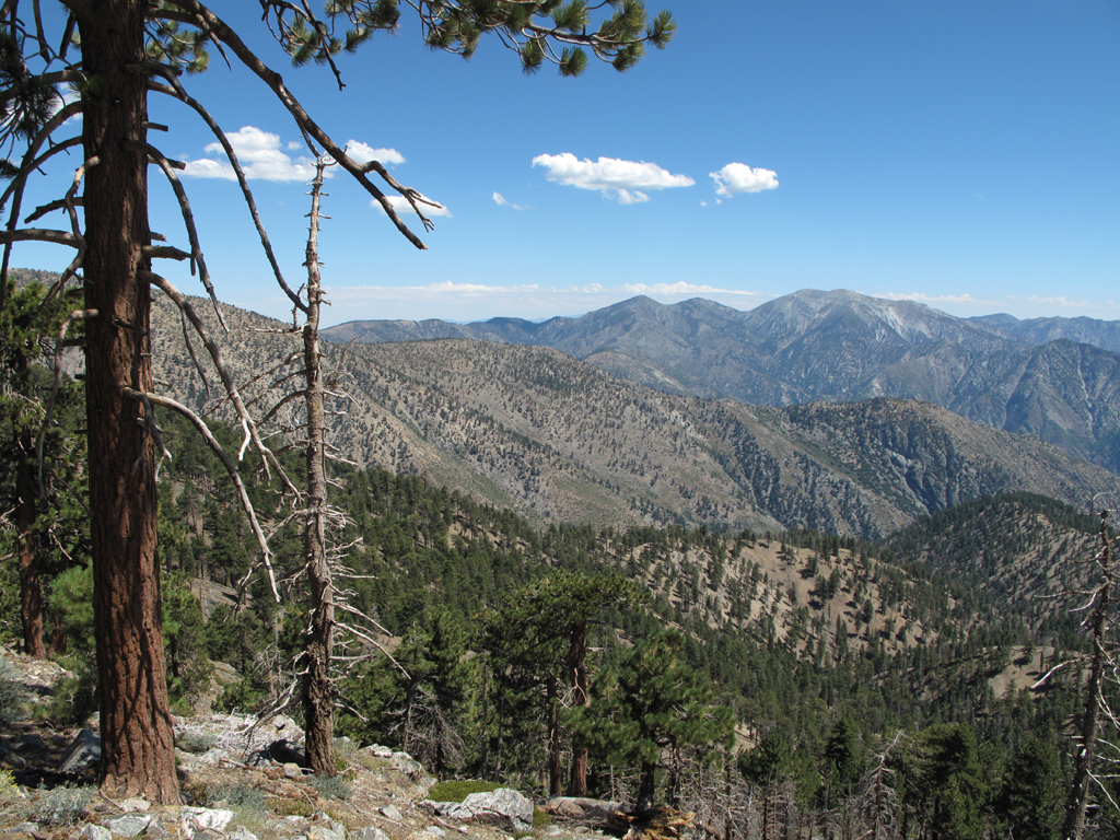
View over Copter Ridge and Mt. Lewis.
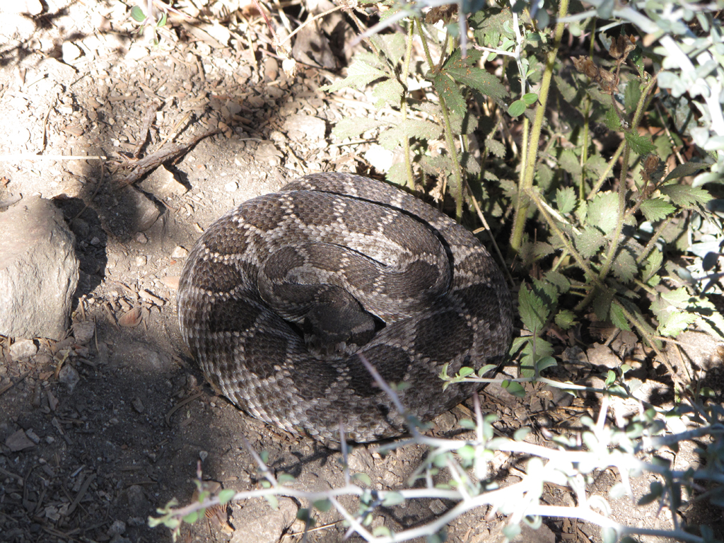
Rattlesnake chillin' at Little Jimmy Spring.
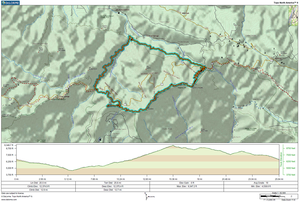
GPS Track and Elevation Plot
The good Dr. Turtle starting down Baden-Powell's west ridge.
Glider over the B-P ridge.
View down the Iron Fork of the San Gabriel River.
View over Copter Ridge and Mt. Lewis.
Rattlesnake chillin' at Little Jimmy Spring.

GPS Track and Elevation Plot