North Backbone - Pine, Dawson, Baldy 8/7/2011
Posted: Tue Aug 09, 2011 12:06 am
The road up to this trail is in pretty terrible shape. It's possible, but I don't recommend anyone in a regular car drive up there.
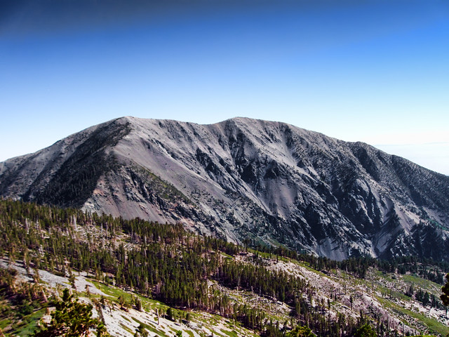
Mount San Antonio by Wattifoto, on Flickr
We parked about a quarter of a mile past Guffy in a small turnout where the PCT crosses the road, which added about a mile of easy walking to get to the actual trailhead.
Once you hit the trail, it's down, then up, then down, then up, then down, then up, then way down, then waaaaaaay up.
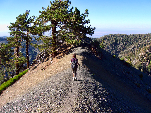
Ridge Route by Wattifoto, on Flickr
Hands down some of the most jaw-dropping scenery in the SGs. Great views across the whole range and also out to the San Bernardino and San Jacinto ranges.
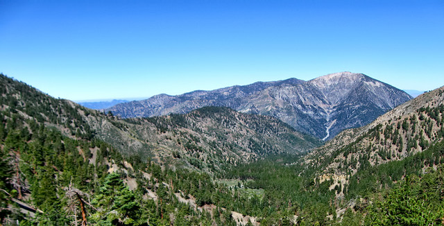
Overlooking Prarie Fork by Wattifoto, on Flickr
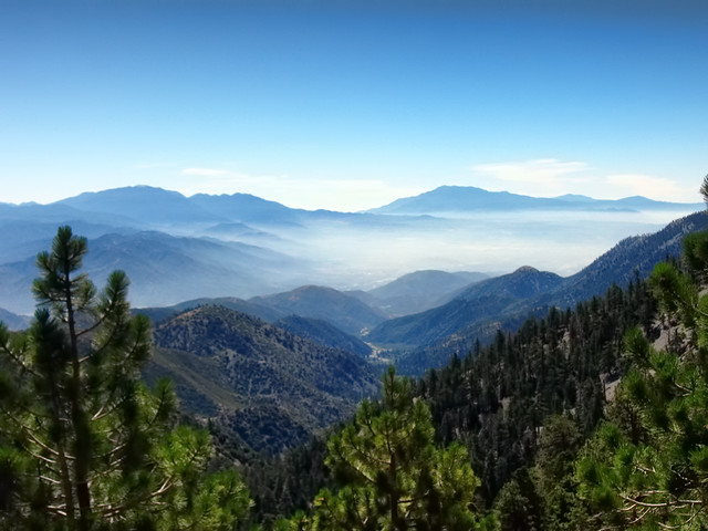
San Gorgonio and San Jacinto by Wattifoto, on Flickr
The trail was very scrambly in spots, particularly on Pine Mountain's north face. I'd say Class 2, for sure, but just take your time and be careful, it's doable.
Came across a large pile of old tin cans around Pine's summit... any idea what's up with these?
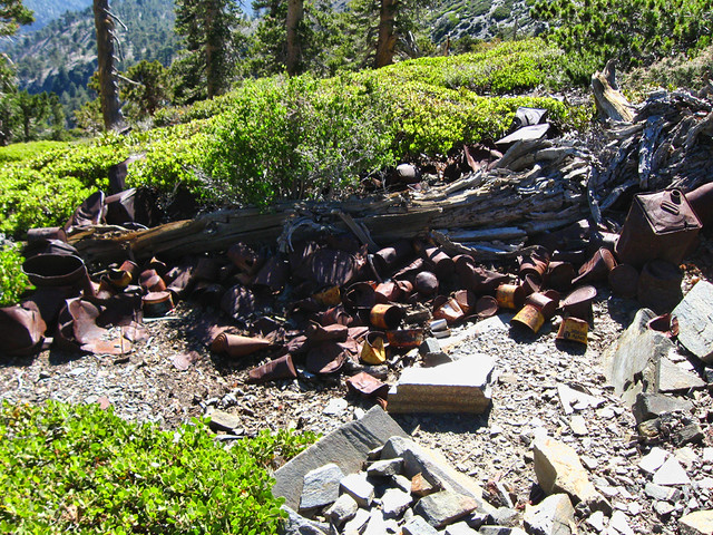
Tin Cans by Wattifoto, on Flickr
Also did a little bit of decorating on Dawson's register can:
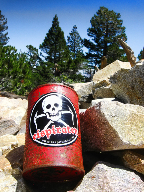
Dawson Peak Summit Register by Wattifoto, on Flickr
8)
Awesome views of Iron, the drop-offs on either side, huge imposing view of Baldy that doesn't translate in photos from the Dawson/Baldy saddle, and then a nice cool AB on the summit, as usual.
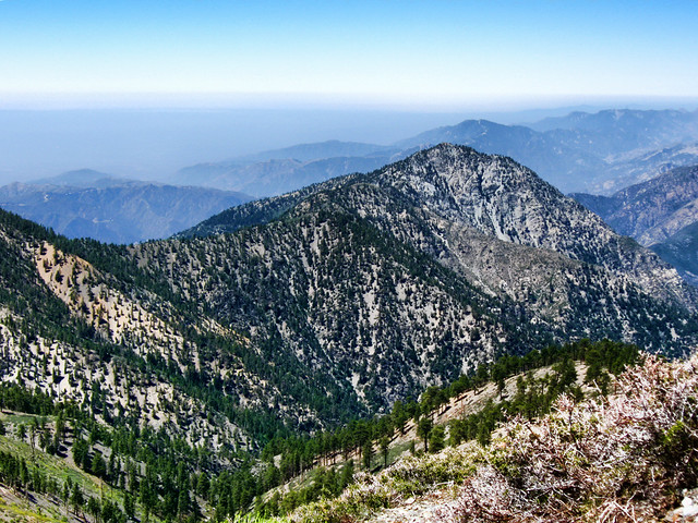
Iron Mountain by Wattifoto, on Flickr
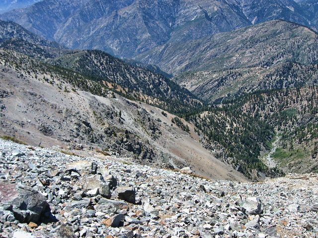
Fish Fork by Wattifoto, on Flickr
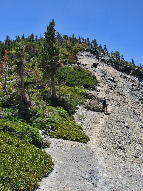
Snaking Up by Wattifoto, on Flickr
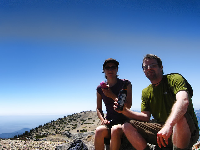
Relaxing on Baldy by Wattifoto, on Flickr
All in all, an incredibly awesome hike. If it weren't for the drive up Blue Ridge Rd, I'd do it again in a heartbeat. As it is now, might work my way up to Guffy, spend a night, then dayhike the next morning.
Lots more pics here:
http://www.flickr.com/photos/wattifoto/ ... 391259878/

Mount San Antonio by Wattifoto, on Flickr
We parked about a quarter of a mile past Guffy in a small turnout where the PCT crosses the road, which added about a mile of easy walking to get to the actual trailhead.
Once you hit the trail, it's down, then up, then down, then up, then down, then up, then way down, then waaaaaaay up.

Ridge Route by Wattifoto, on Flickr
Hands down some of the most jaw-dropping scenery in the SGs. Great views across the whole range and also out to the San Bernardino and San Jacinto ranges.

Overlooking Prarie Fork by Wattifoto, on Flickr

San Gorgonio and San Jacinto by Wattifoto, on Flickr
The trail was very scrambly in spots, particularly on Pine Mountain's north face. I'd say Class 2, for sure, but just take your time and be careful, it's doable.
Came across a large pile of old tin cans around Pine's summit... any idea what's up with these?

Tin Cans by Wattifoto, on Flickr
Also did a little bit of decorating on Dawson's register can:

Dawson Peak Summit Register by Wattifoto, on Flickr
8)
Awesome views of Iron, the drop-offs on either side, huge imposing view of Baldy that doesn't translate in photos from the Dawson/Baldy saddle, and then a nice cool AB on the summit, as usual.

Iron Mountain by Wattifoto, on Flickr

Fish Fork by Wattifoto, on Flickr

Snaking Up by Wattifoto, on Flickr

Relaxing on Baldy by Wattifoto, on Flickr
All in all, an incredibly awesome hike. If it weren't for the drive up Blue Ridge Rd, I'd do it again in a heartbeat. As it is now, might work my way up to Guffy, spend a night, then dayhike the next morning.
Lots more pics here:
http://www.flickr.com/photos/wattifoto/ ... 391259878/