Mammoth Rock, Crystal Crag and Mt. Abbot
Posted: Sun Aug 07, 2011 10:26 am
I was in the Mammoth area this past week for a family vacation and I managed to hike a few peaks while there. My wife's family had reserved a few cabins at the Crystal Crag Lodge on Lake Mary, so we were in an excellent location with lots of great hiking opportunity's.
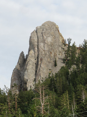
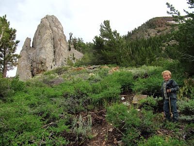
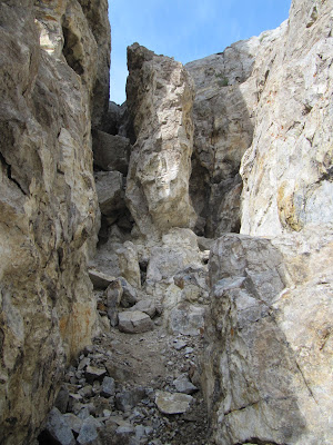
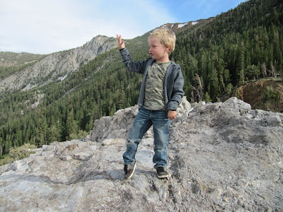
On Sunday the afternoon thunderstorms were done by 3pm so my son and I went to check out the Mammoth Rock trail. I had seen the rock on Saturday and it appeared there was no easy way to the summit, but I thought it would be fun to at least hike to the base of it. We started off on the Mammoth Rock trail and soon realized it doesn't go anywhere near the rock. We left the trail and began climbing up the hillside, heading for the west side of the rock. We walked up the loose scree and sand to a saddle on the south side of the rock. After seeing the rock up close form 3 sides, it still appeared class 4 or better and definitely no way for a 6 year old to make it to the peak. Just below the saddle on the east side was a narrow slot that looked interesting so we went to check it out. We followed the slot, then passed through a hole in the wall over to another slot. I was able to lift my son up to a shelf just above me and then climbed up. After doing this a few more times on easy class 3, we found ourselves on top of the rock. After a few pictures and air guitar on the summit, we climbed back down the same way to the saddle then found a better use trail back to the trailhead on Old Mammoth Road. More pictures here
_____________________________________________________________________________________________________________________________________________________________________________________________________
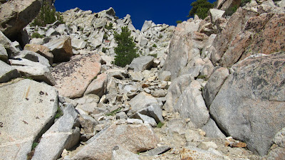
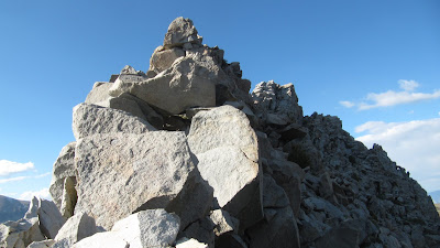
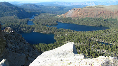
On Monday after visiting the Inyo Craters, Mono Lake and taking a drive on 1S06 the family was exhausted so I was able to get out for a short hike to Crystal Crag in the late afternoon. I started off from George lake on the Crystal Lake trail to about 9700' then left the trail and traversed over to the outlet of the lake. I then walked around to the east side of the lake and gradually ascended to the base of the west side of the rock. I started up a small gully that was mostly class 2 with some class 3 along the way. It was fun scrambling and I was soon on the south ridge. I dropped down onto the east side then traversed toward the summit on mostly easy class 3. From the summit I had great views of the Ritter Range, the Mammoth Crest and the Mammoth Lakes Basin. I decided to climb down the east side of the rock to TJ Lake just for a change in scenery. After down climbing a steep gully then boulder hopping down to the lake I found a pack trail near the north end and followed it to Barret Lake and then back to Lake George. More pictures here

_____________________________________________________________________________________________________________________________________________________________________________________________________
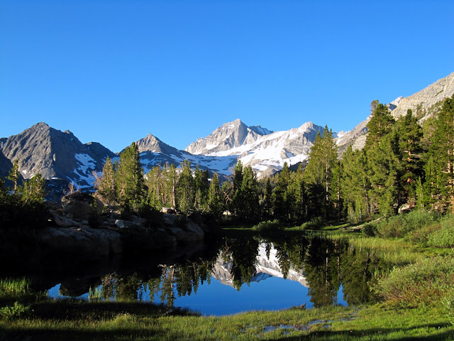
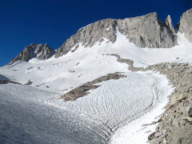
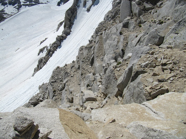
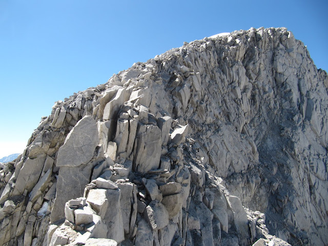
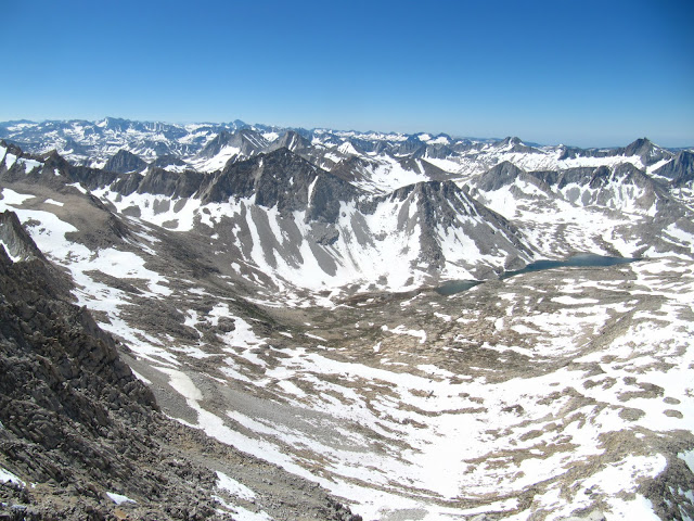
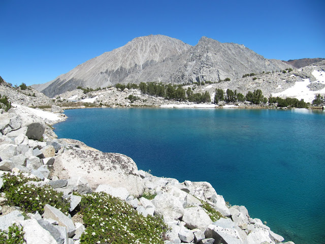
On Thursday we walked around Devils Post Pile and to Rainbow Falls (where we ran into Ellen, who is doing the JMT.) After our long day everyone wanted to just relax around the cabin on Friday so I decided to hike Mt. Abbot. I got to the Mosquito Flat trailhead around 6:15 and was hiking by 6:30. It was rather cold for the first mile or so but once I took the turn for Mono Pass it began to warm up. I made it to Ruby Lake and the end of the maintained trail in a little less than an hour. Crossing the outlet of the lake was a little tricky, but I managed to hop from log to log and get to the east side of the lake without getting wet. I then followed the drainage up to Mills Lake and then up to a series of tarns below the peak. I was surprised that Mills Lake and the tarns were still partially frozen! From Ruby Lake up to the base of the mountain was a tedious slog. The sun cups became very annoying and the boulders weren't much better. I traded off between the two for some variety. At the base of the couloir I put on crampons and began climbing up the slope. I stayed in the couloir until about 13,000' then traversed right to the loose and sandy class 2/3 rock. From there I made my way to the NW ridge. Once on the ridge the rock was much better and the scramble along the ridge was very fun. I figured I wouldn't have any problems with the altitude because I had been sleeping at nearly 9000' of the past 6 days but I was still short of breath and the altitude really slowed me down. In fact, I felt much better two weeks earlier when I day hiked Mt. Tyndall after driving up from sea level 6 hours before we started hiking. After the fun ridge it was an easy walk up the summit plateau to the peak where the views were amazing. It is amazing the amount of snow still around! After signing the register I descend back to the base of the couloir then decided to traverse below Mt. Dade to a saddle and descend into the Treasure Lakes basin. This was tough! The sun cups got bigger, the rock was looser and I had to down climb around a few waterfalls on moderate slabs. Once I reached the first lake I was hoping to find a good use trail but I was still mostly cross country. As I continued onto the next 2 lakes then down the drainage I began to find pieces of use trail here an there. Finally around 10,800' the use trail became consistent and before long I rejoined the regular Rock Creek trail just south of Long Lake. From there is was an easy walk back to Mosquito Flats. I was back at Lake Mary by 4 for a tasty home cooked steak dinner with the family. More pictures here
On Sunday the afternoon thunderstorms were done by 3pm so my son and I went to check out the Mammoth Rock trail. I had seen the rock on Saturday and it appeared there was no easy way to the summit, but I thought it would be fun to at least hike to the base of it. We started off on the Mammoth Rock trail and soon realized it doesn't go anywhere near the rock. We left the trail and began climbing up the hillside, heading for the west side of the rock. We walked up the loose scree and sand to a saddle on the south side of the rock. After seeing the rock up close form 3 sides, it still appeared class 4 or better and definitely no way for a 6 year old to make it to the peak. Just below the saddle on the east side was a narrow slot that looked interesting so we went to check it out. We followed the slot, then passed through a hole in the wall over to another slot. I was able to lift my son up to a shelf just above me and then climbed up. After doing this a few more times on easy class 3, we found ourselves on top of the rock. After a few pictures and air guitar on the summit, we climbed back down the same way to the saddle then found a better use trail back to the trailhead on Old Mammoth Road. More pictures here
_____________________________________________________________________________________________________________________________________________________________________________________________________
On Monday after visiting the Inyo Craters, Mono Lake and taking a drive on 1S06 the family was exhausted so I was able to get out for a short hike to Crystal Crag in the late afternoon. I started off from George lake on the Crystal Lake trail to about 9700' then left the trail and traversed over to the outlet of the lake. I then walked around to the east side of the lake and gradually ascended to the base of the west side of the rock. I started up a small gully that was mostly class 2 with some class 3 along the way. It was fun scrambling and I was soon on the south ridge. I dropped down onto the east side then traversed toward the summit on mostly easy class 3. From the summit I had great views of the Ritter Range, the Mammoth Crest and the Mammoth Lakes Basin. I decided to climb down the east side of the rock to TJ Lake just for a change in scenery. After down climbing a steep gully then boulder hopping down to the lake I found a pack trail near the north end and followed it to Barret Lake and then back to Lake George. More pictures here
_____________________________________________________________________________________________________________________________________________________________________________________________________
On Thursday we walked around Devils Post Pile and to Rainbow Falls (where we ran into Ellen, who is doing the JMT.) After our long day everyone wanted to just relax around the cabin on Friday so I decided to hike Mt. Abbot. I got to the Mosquito Flat trailhead around 6:15 and was hiking by 6:30. It was rather cold for the first mile or so but once I took the turn for Mono Pass it began to warm up. I made it to Ruby Lake and the end of the maintained trail in a little less than an hour. Crossing the outlet of the lake was a little tricky, but I managed to hop from log to log and get to the east side of the lake without getting wet. I then followed the drainage up to Mills Lake and then up to a series of tarns below the peak. I was surprised that Mills Lake and the tarns were still partially frozen! From Ruby Lake up to the base of the mountain was a tedious slog. The sun cups became very annoying and the boulders weren't much better. I traded off between the two for some variety. At the base of the couloir I put on crampons and began climbing up the slope. I stayed in the couloir until about 13,000' then traversed right to the loose and sandy class 2/3 rock. From there I made my way to the NW ridge. Once on the ridge the rock was much better and the scramble along the ridge was very fun. I figured I wouldn't have any problems with the altitude because I had been sleeping at nearly 9000' of the past 6 days but I was still short of breath and the altitude really slowed me down. In fact, I felt much better two weeks earlier when I day hiked Mt. Tyndall after driving up from sea level 6 hours before we started hiking. After the fun ridge it was an easy walk up the summit plateau to the peak where the views were amazing. It is amazing the amount of snow still around! After signing the register I descend back to the base of the couloir then decided to traverse below Mt. Dade to a saddle and descend into the Treasure Lakes basin. This was tough! The sun cups got bigger, the rock was looser and I had to down climb around a few waterfalls on moderate slabs. Once I reached the first lake I was hoping to find a good use trail but I was still mostly cross country. As I continued onto the next 2 lakes then down the drainage I began to find pieces of use trail here an there. Finally around 10,800' the use trail became consistent and before long I rejoined the regular Rock Creek trail just south of Long Lake. From there is was an easy walk back to Mosquito Flats. I was back at Lake Mary by 4 for a tasty home cooked steak dinner with the family. More pictures here