What a Girl Want's... Split, Williamson and Tyndall
Posted: Wed Jul 20, 2011 10:26 pm
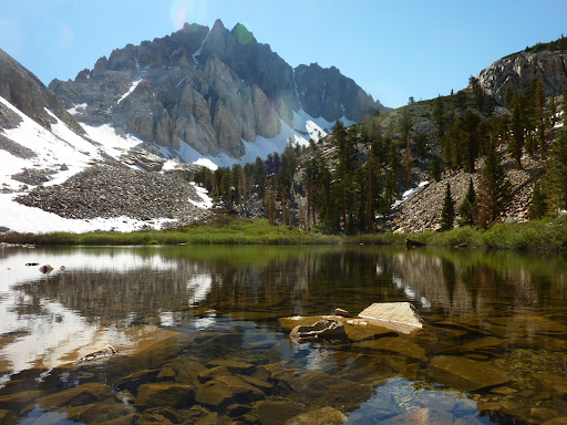
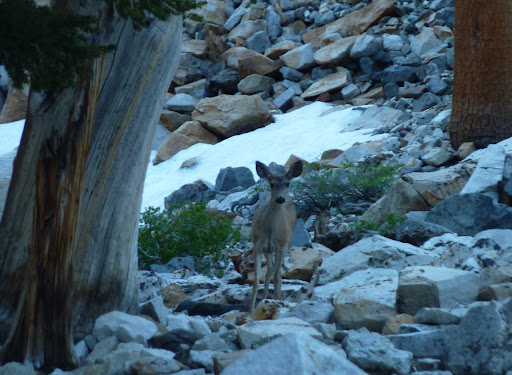
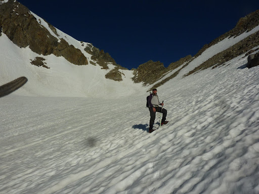
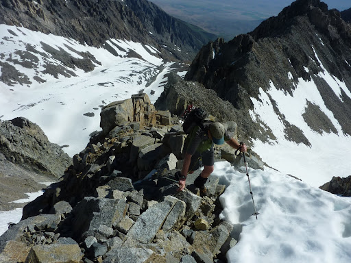
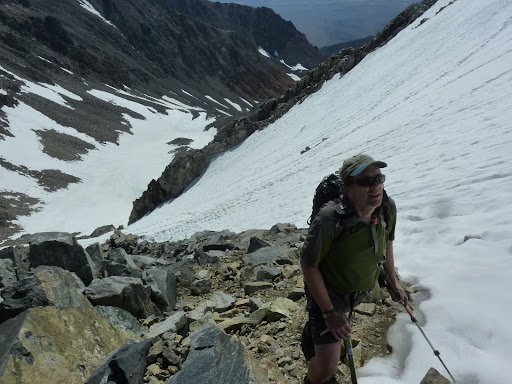
I recently had a week off and headed to The Sierra for two backpack trips. First with Dave G, we trudged up Red Creek Canyon in the blazing heat pounding the Owens Valley on July 2nd to arrive at the pristine shore of Little Red Lake. Heaven on earth! With our objective in view above the lake we enjoyed the beauty of the Sierra. A crystal clear lake, beautiful subalpine trees, the peace of having this beauty all to ourselves and a visit from some mule deer as we prepared for our hike the next day of Split Mountain. We left pre-dawn and found the snow slopes in great condition and enjoyed the challenge of the ridge scramble that eventually lets you off on the open slope that makes up the north walk-up to Split's summit. The weather was perfection! We had the summit to ourselves and enjoyed an hour basking in all a Sierra summit has to offer. Amazing views, crisp air and the feeling that all is somehow perfectly right in the world at that exact moment. Dave found a comfy summit lounge spot as he drifted off into alpine alpha. I sent out a few text messages announcing my excitement.
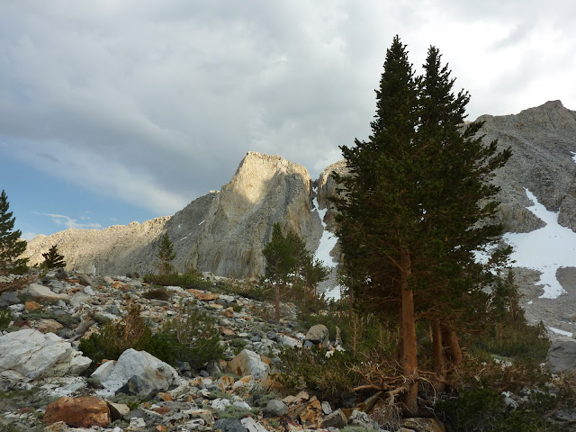
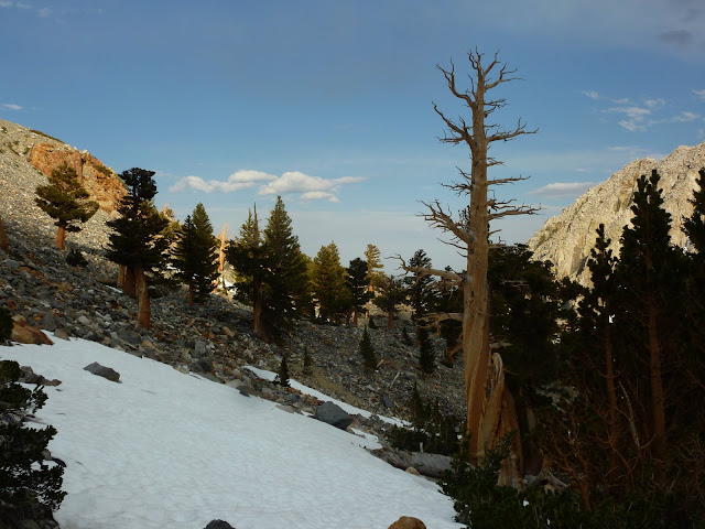
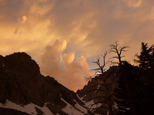
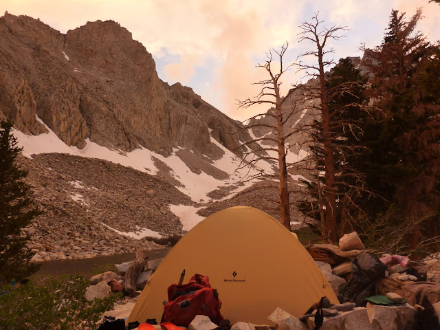
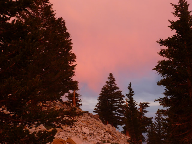
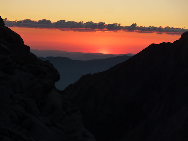
As we descended I had been watching the little puffs of clouds that appeared in the western sky grow into thunderheads and that evening we were enthralled by a gorgeous sunset and the knowledge that we tagged Split on the last day before the summer monsoon season arrived. It was a great trip as I had tagged my 8th fourteener with my good friend Dave G. Big thanks partner!
Arriving at Little Red Lake with Split Mountain before us
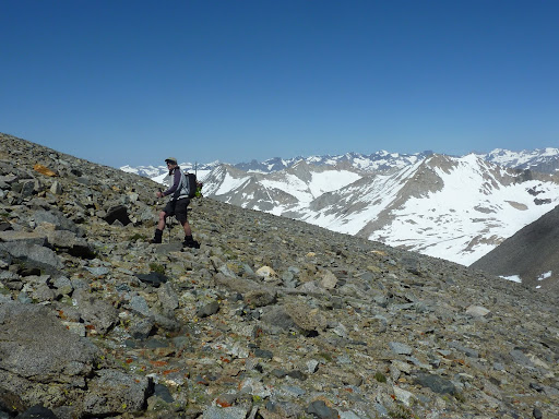
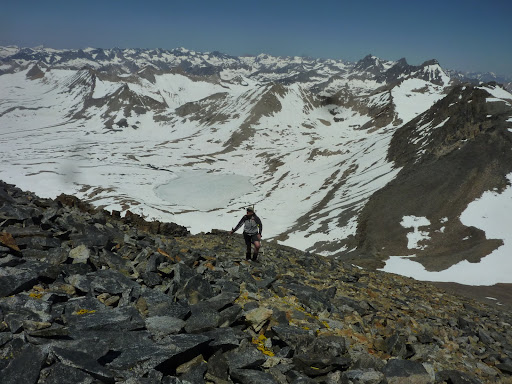
This is the life!
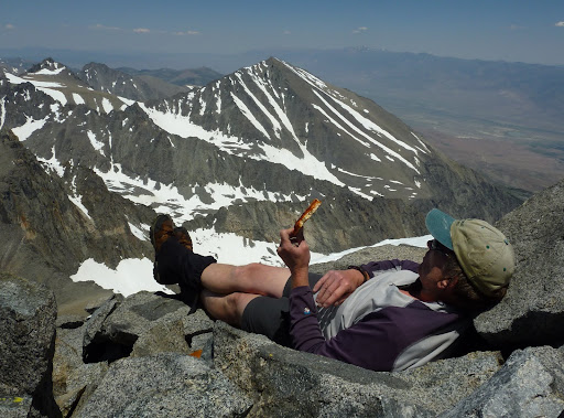
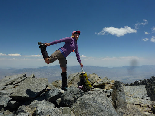
Summit silliness at 14,058 feet
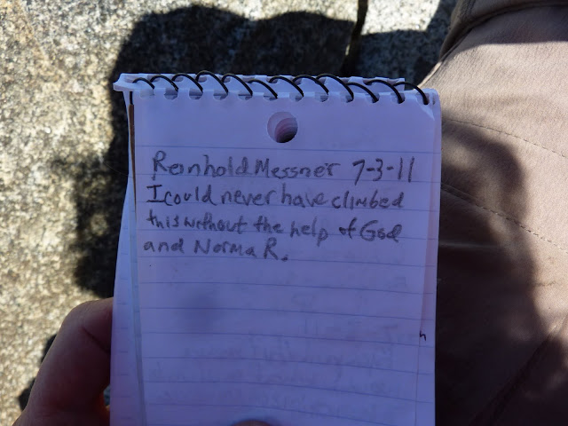
The stuff legends are made of
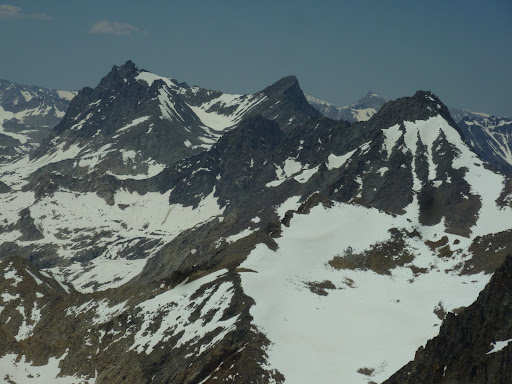
North Pal, Mount Sill and Middle Pal
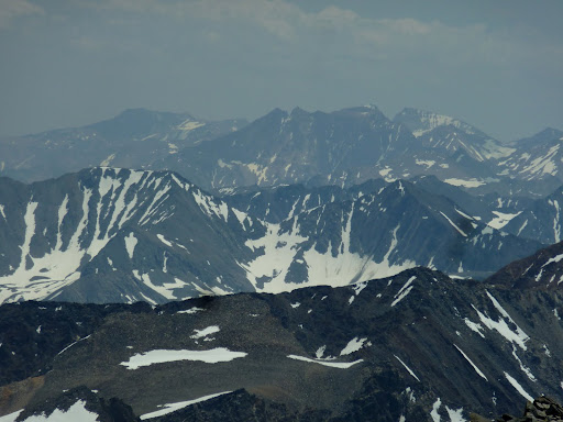
Lone Pine Peak, Mount Williamson and Mount Whitney
Bench Lake and Arrow Peak
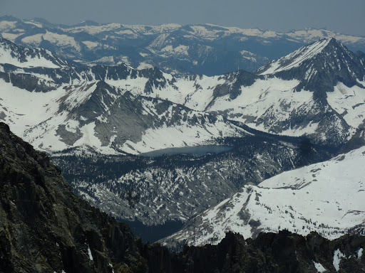
Could that be the PCT?
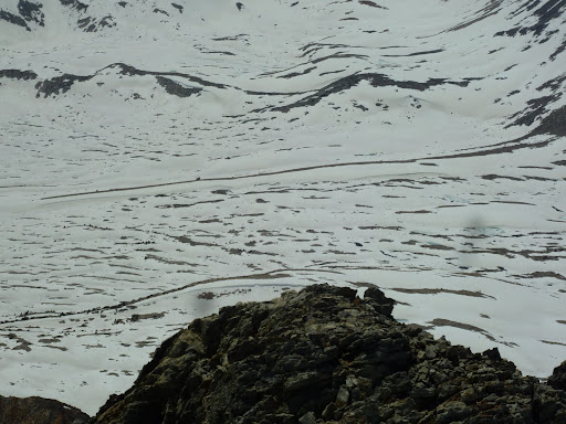
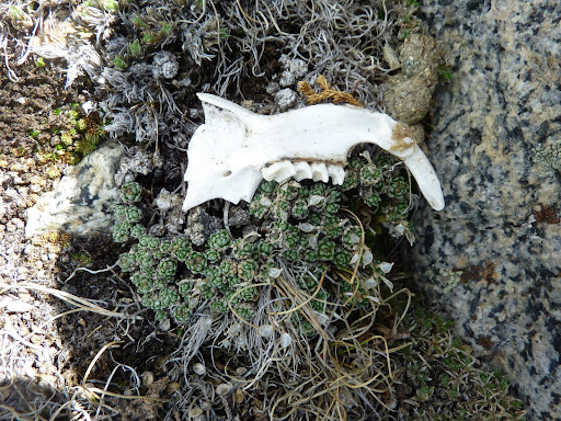
Marmot jawbone
On the descent
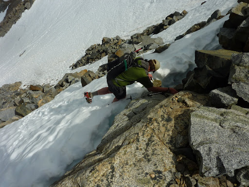
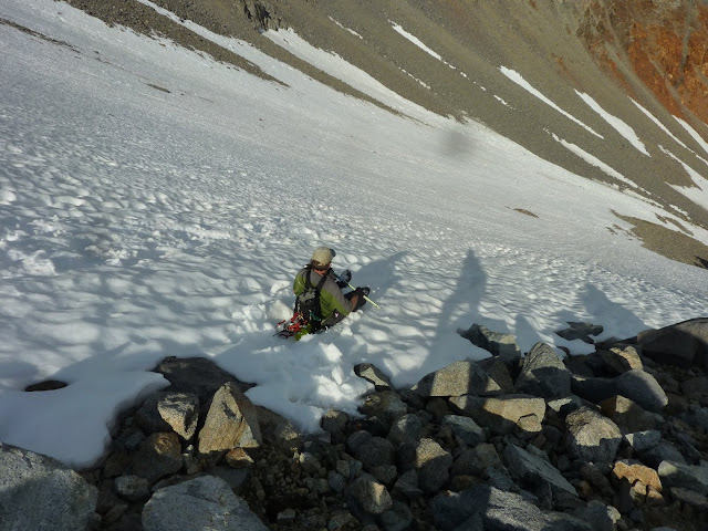
We probably glissaded 1k feet. Nice. Except when Dave's arse glissaded a hidden rock. Not nice!
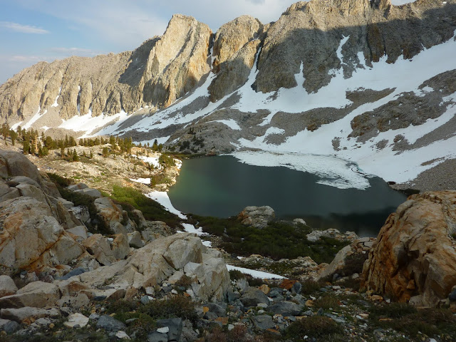
Red Lake
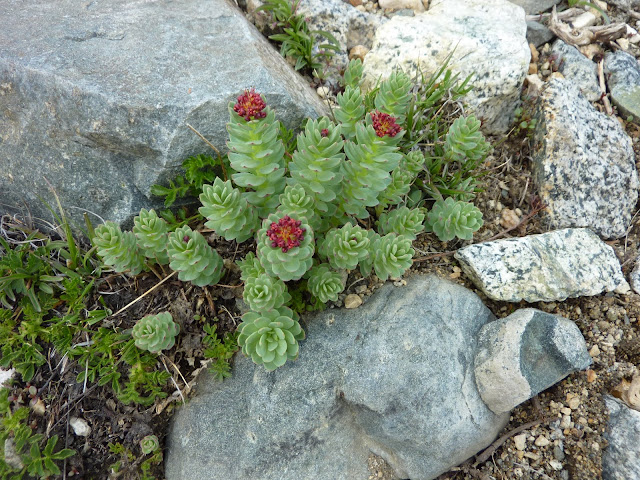
Rosy Sedum
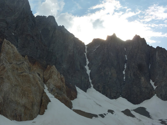
St. Jean Couloir
Every hiker should get to the Red Lake/Little Red Lake area once in their lives...
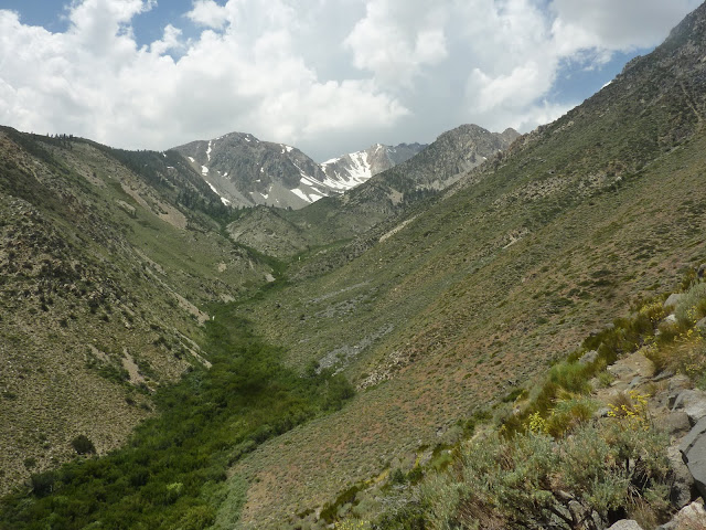
A look up at Red Creek Canyon after we descend back to the Owens Valley. It was a great trip!
My full album of Split pix are here:
https://picasaweb.google.com/ryan.norma ... inJuly2011#
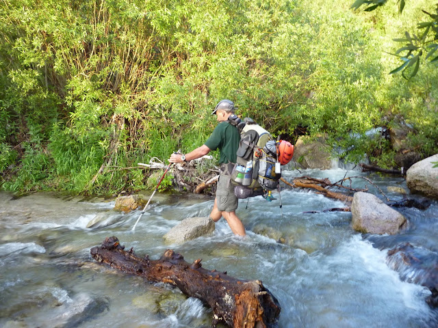
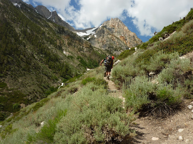
With two days off to do some laundry and repack, I was off once again and on July 7th I was crossing Symmes Creek 4 times up to my knees carrying a full pack with Phil (lik2hik) as we headed for Anvil Camp and another Sierra adventure. Phil, having done Williamson and Tyndall (x2) last year, graciously offered to backpack with me and share his route beta so I could have a chance at tagging these peaks. Anvil offered itself mosquito free and provided a pleasant camp after the 8.75 mile ascent. Next morning we were off to complete Shepherd's Pass and hit the slope early enough to find nice firm snow under our feet. We took a break above the pass and continued on to our destination for the next night in the alpine tundra at the base of Tyndall's north rib. After setting up camp we were off and enjoyed a fun scramble of the north rib and again a picture perfect summit! We were back to camp in time for a leisurely dinner and full night of sleep, for the biggest challenge was yet to come.
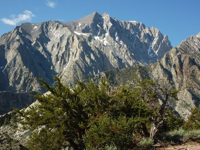
Mount Williamson massif from Symmes Saddle
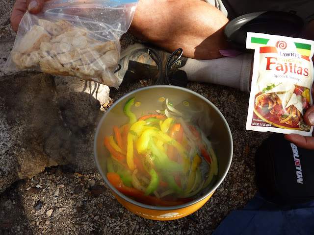
We pity the poor man who eats Mountain House Lasagna!
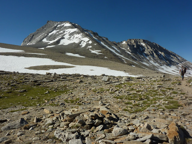
Mount Tyndall
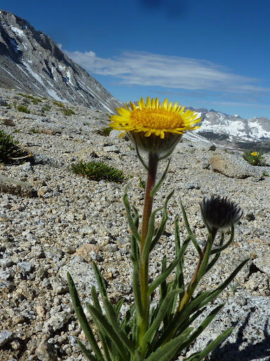
Alpine Gold
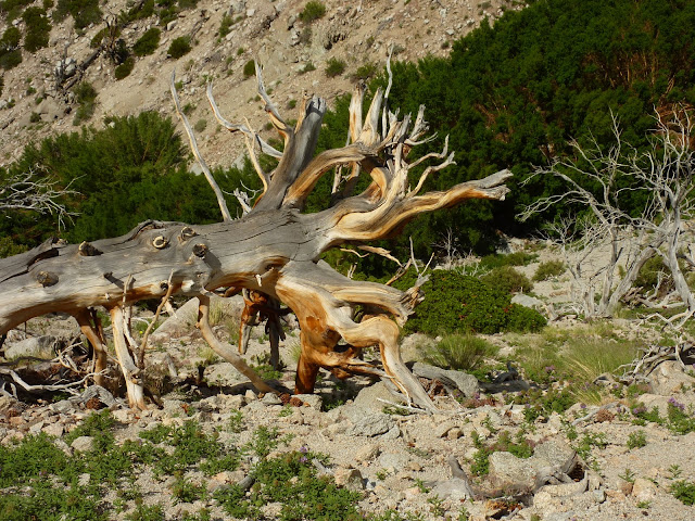
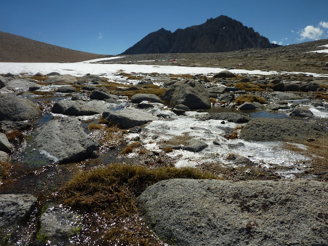
Alpine tundra in various stages of thaw with Mount Williamson rising from behind
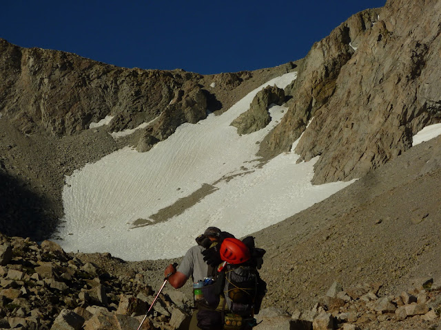
Climbing Tyndall's north rib
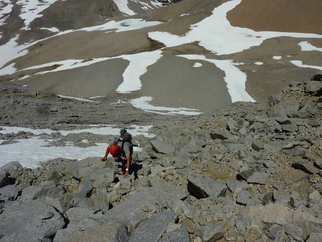
Working the ridge
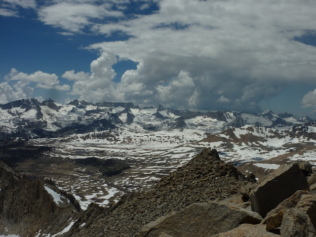
Mount's Russell and Whitney from Tyndall's summit
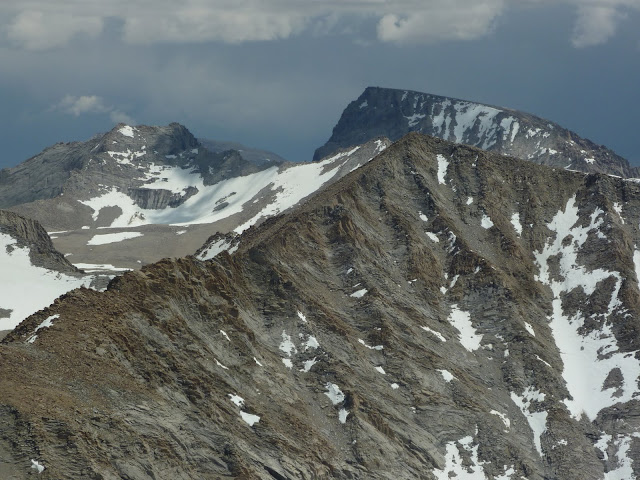
Milestome, Midway and Table Mountains
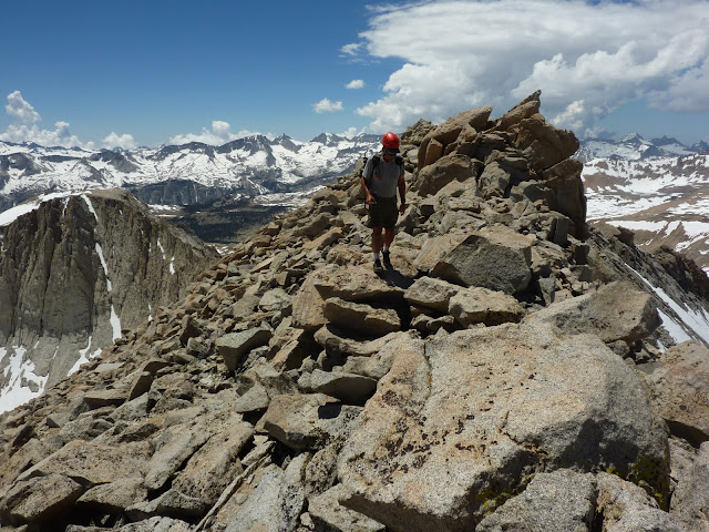
Summit blockin' at 14,018
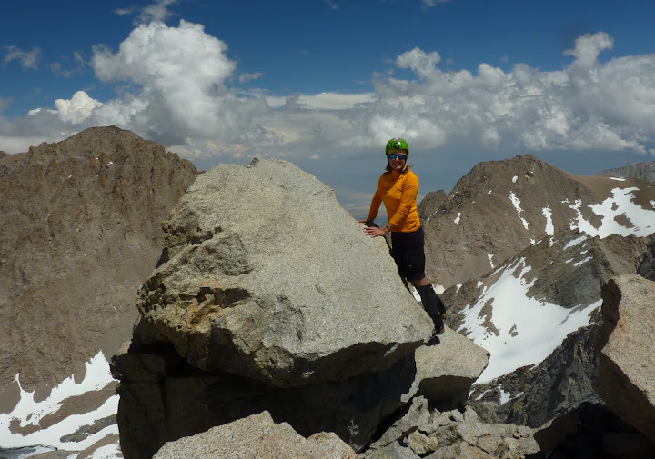
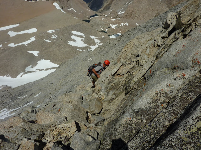
On the descent
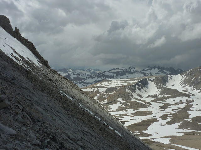
View north across the slabby north face of Tyndall
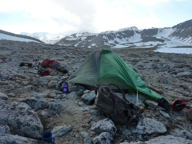
Our tent condo
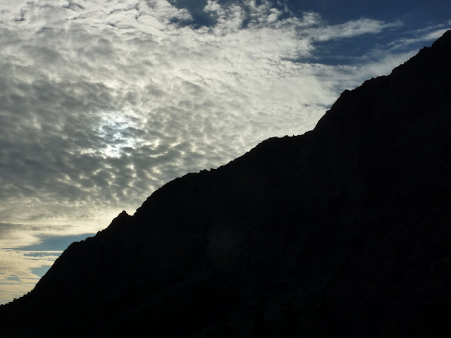
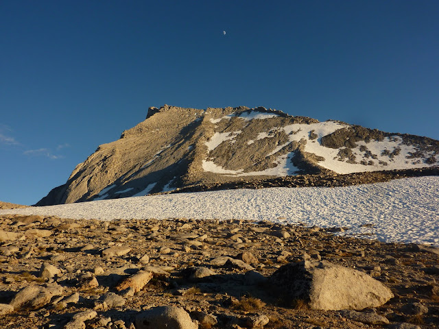
Moon rises as the sun descends
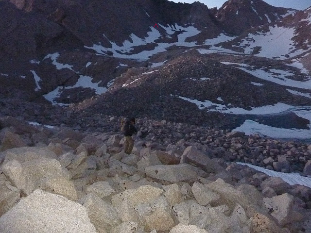
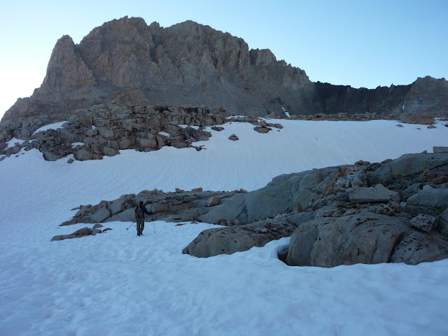
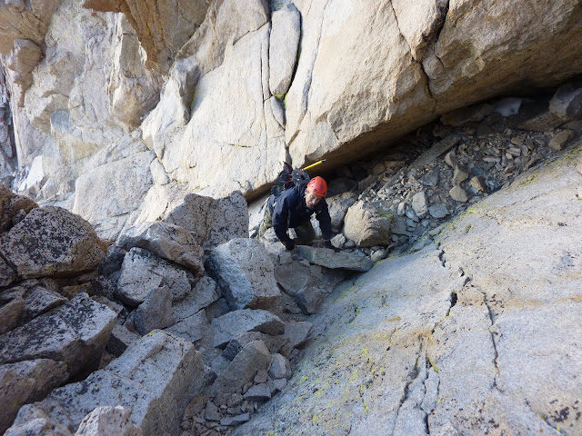
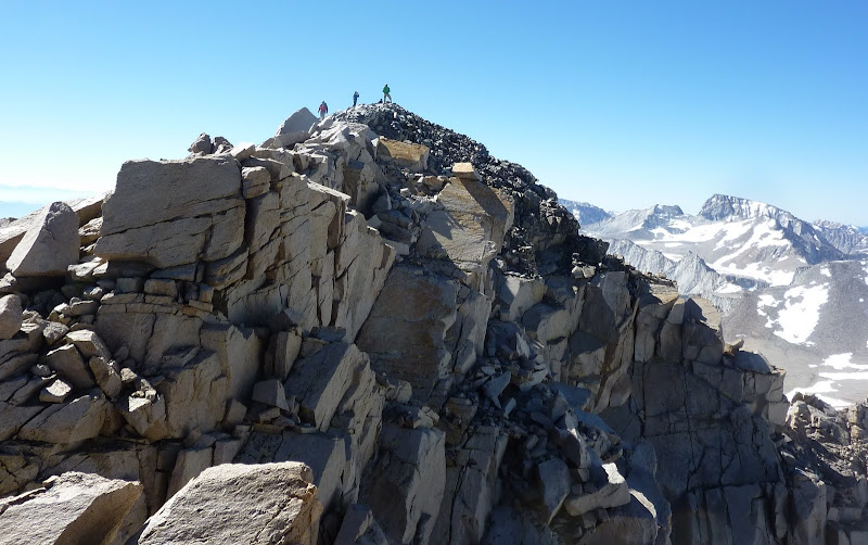
With a pre-dawn start we were off on a chilly morning that was somewhere in the 30's. As the sun rose and I got a good look at the Williamson Bowl I likened it to the Haleakala Crater. If you haven't been there, picture a big hole with multiple bumps of snow and talus that you drop down into and then climb over each bump... up and down and up and down until you finally reach the base of Williamson's west face. We reached the black stain in just under three hours which amazed me since I thought it would take all day. Phil gathered water at the stain and we took a short nutrition break. Then we began the ascent of the west face route. It's a long loose chute that narrows to a gully that was mostly snow free. I used my 'pons and axe to climb one snow section while Phil did an alternate on rock that he described as sketchy. In two hours we were at the Class 3 chimney which required some stem moves and was easier than I expected. From there we popped out on the west ridge that leads to the summit and felt the warming rays of sun for the first time that day. We scrambled across the ridge and reached summit at 9:40 a.m. Five hours after leaving camp. It was chilly on the summit so we stayed just long enough to sign the register, enjoy the views and take some pix. As we descended it dawned on me I had just completed my goal, tagging Willy and Tyndall. Getting up Willy was easier than I expected after having allowed myself to be internally anxious and intimidated by the massive size of that beast. Fortunately we had enough time to pace ourselves and not rush and it happened. But the down climb eventually took its toll on my left knee. We packed up camp and continued down Shepherd Pass to Anvil Camp so our hike out the next day would be under 10 miles. About a mile from Anvil Camp my L knee which has always been weaker since my '04 ACL reconstruction, had had enough. I dropped in my sleeping bag that night with the help of two Ambien's and hoped for the best in the morn. Long story short, it took me 8 hours to cover 8 miles. Downhill sucks on a compromised knee and the grand total of 19,400 feet of elevation gain/loss and 49 miles in seven days took its toll. But hey it's only a knee and dang it I got Split, Willy and Tyndall!! That puts my count of California fourteener's to 10 and I'm likin' that. Big thanks to Dave and Phil for being the best hiking partners a girl could have!

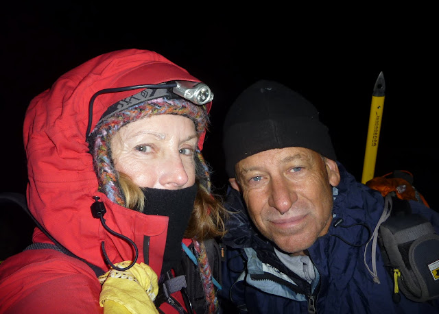
Pre-dawn and ready to Rock 'n Roll in the Williamson Bowl
Getting closer to the black stain
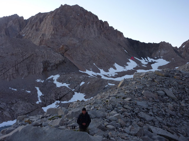
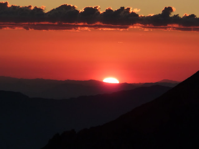
Tyndall is a distant rosy memory at the moment
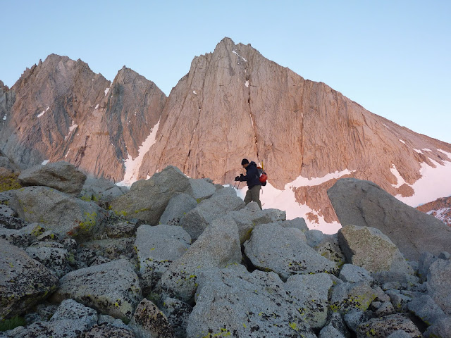
Willy's west face is within reach
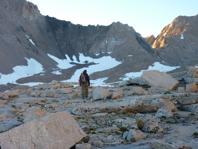
 But, no!... we drop down again and have yet another bump to ascend
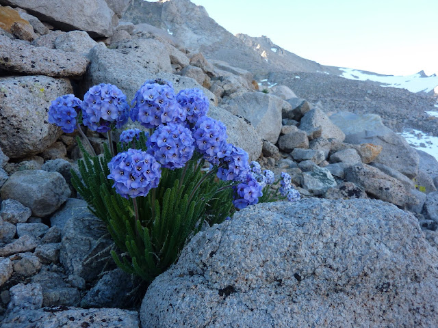
When i die and they lay me to rest i hope it's in a talus field dotted with Polemonium!
WooHoo! We've finally made it to Willy and begin the west face route
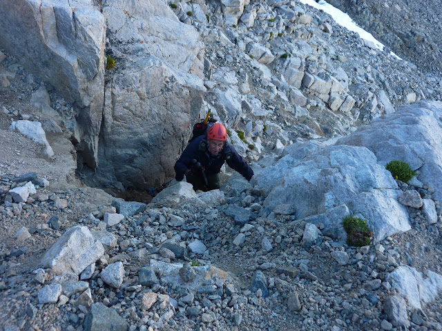
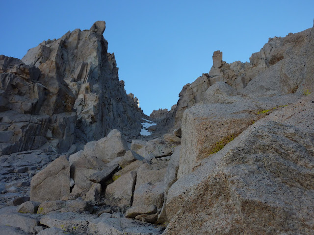
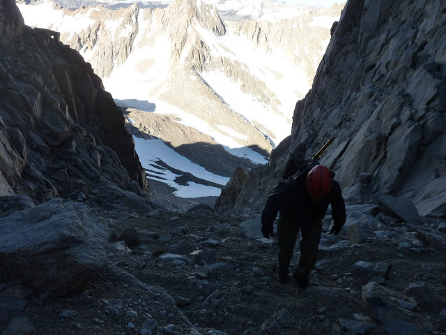
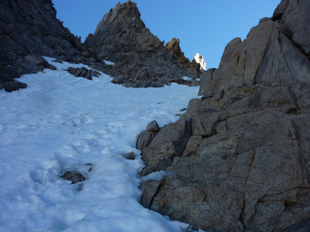
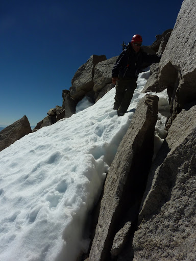
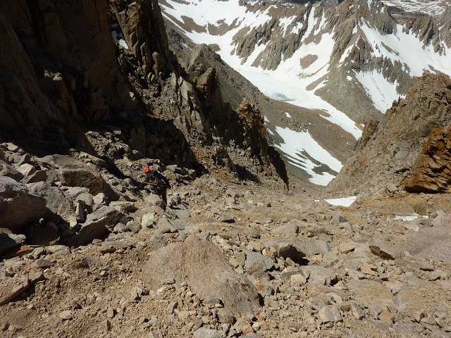
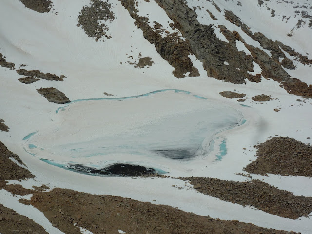
Ton's of loose crap. Be careful.
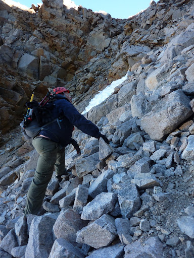
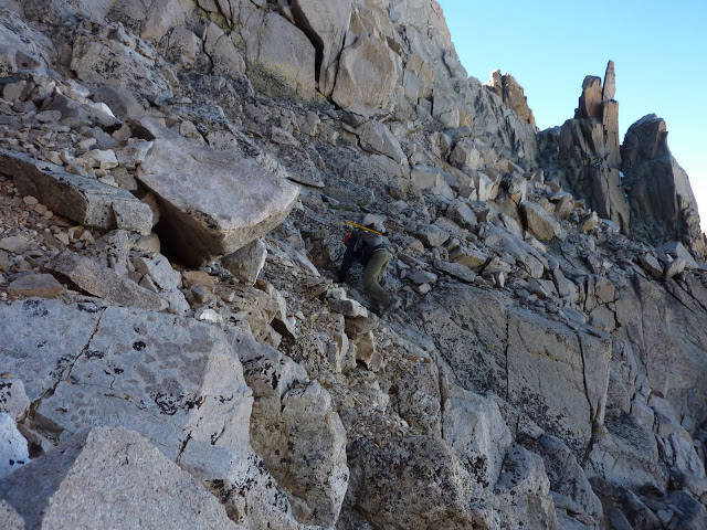
The chimney!!

Piece of cake. Kinda'
A guided group from SMC on the summit
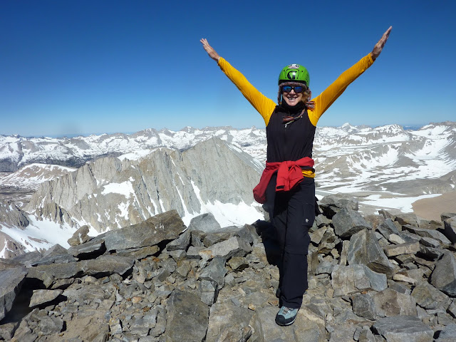
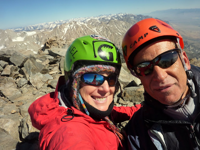
Summit victory at 14,375. Truly can't believe i did it!
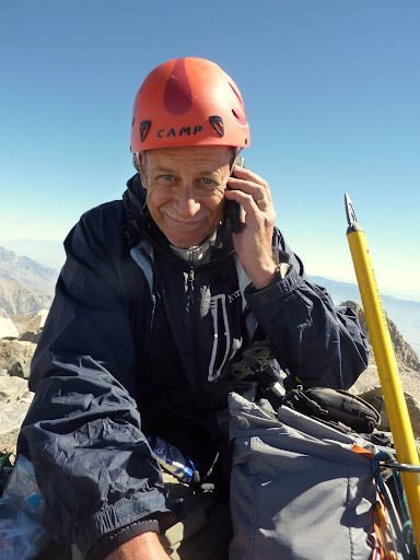
Summit phone call to Mrs. Lik2Hik
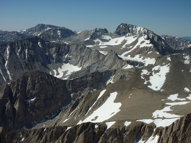
Lone Pine Peak, Mount Russell and Mount Whitney from Williamson
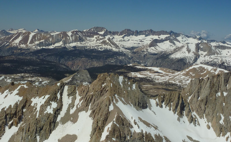
The view NW into Sequoia. Wowza!
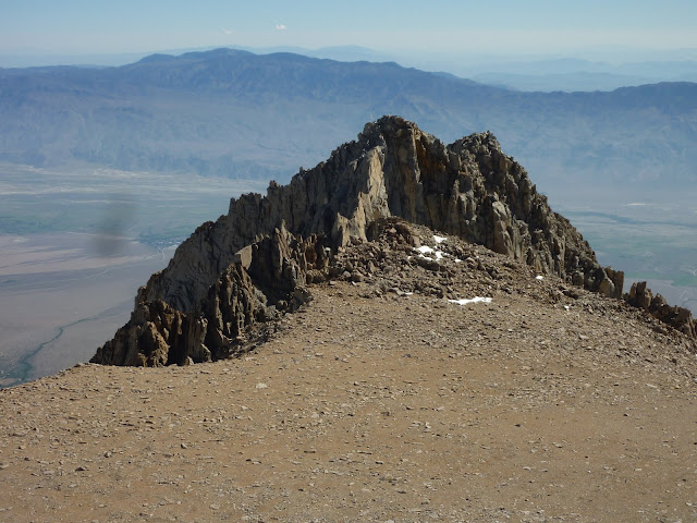
Looking across the summit plateau to the east summit
On the down climb
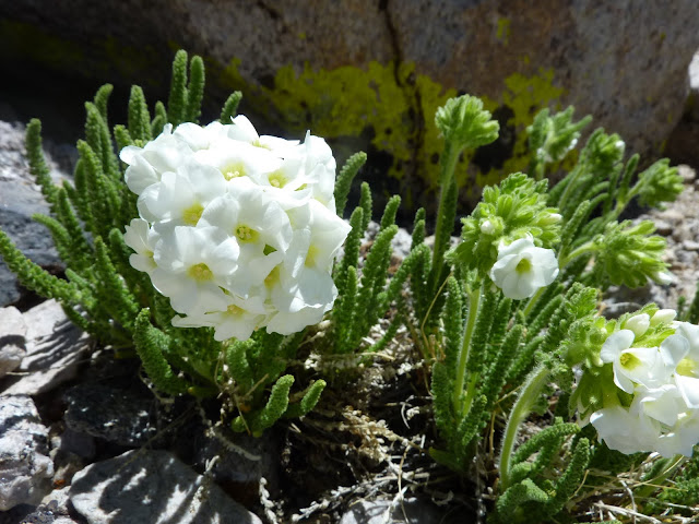
The Polemonium was at peak bloom
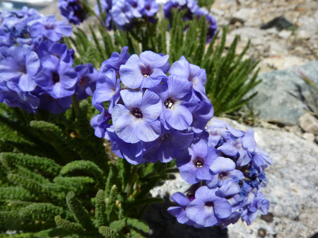
Even spotted a rare white Polemonium
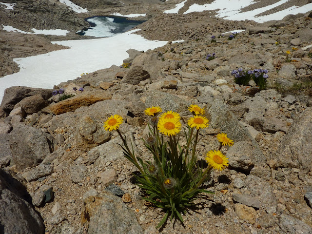
What fun to see a burst of color in such an arid region.
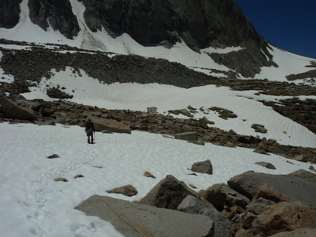
As we head out, a look back at Willy, Tyndall and the moon from a 13k moonscape
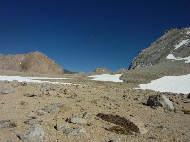
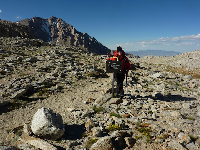
Back at Shepherd Pass after a successful two for two!
8) Did I hear anyone say... Thunderbolt?...
Full album of Williamson/Tyndall pix are here:
https://picasaweb.google.com/ryan.norma ... Williamson#
As we descended I had been watching the little puffs of clouds that appeared in the western sky grow into thunderheads and that evening we were enthralled by a gorgeous sunset and the knowledge that we tagged Split on the last day before the summer monsoon season arrived. It was a great trip as I had tagged my 8th fourteener with my good friend Dave G. Big thanks partner!
Arriving at Little Red Lake with Split Mountain before us
This is the life!
Summit silliness at 14,058 feet
The stuff legends are made of
North Pal, Mount Sill and Middle Pal
Lone Pine Peak, Mount Williamson and Mount Whitney
Bench Lake and Arrow Peak
Could that be the PCT?
Marmot jawbone
On the descent
We probably glissaded 1k feet. Nice. Except when Dave's arse glissaded a hidden rock.
Red Lake
Rosy Sedum
St. Jean Couloir
Every hiker should get to the Red Lake/Little Red Lake area once in their lives...
A look up at Red Creek Canyon after we descend back to the Owens Valley. It was a great trip!
My full album of Split pix are here:
https://picasaweb.google.com/ryan.norma ... inJuly2011#
With two days off to do some laundry and repack, I was off once again and on July 7th I was crossing Symmes Creek 4 times up to my knees carrying a full pack with Phil (lik2hik) as we headed for Anvil Camp and another Sierra adventure. Phil, having done Williamson and Tyndall (x2) last year, graciously offered to backpack with me and share his route beta so I could have a chance at tagging these peaks. Anvil offered itself mosquito free and provided a pleasant camp after the 8.75 mile ascent. Next morning we were off to complete Shepherd's Pass and hit the slope early enough to find nice firm snow under our feet. We took a break above the pass and continued on to our destination for the next night in the alpine tundra at the base of Tyndall's north rib. After setting up camp we were off and enjoyed a fun scramble of the north rib and again a picture perfect summit! We were back to camp in time for a leisurely dinner and full night of sleep, for the biggest challenge was yet to come.
Mount Williamson massif from Symmes Saddle
We pity the poor man who eats Mountain House Lasagna!
Mount Tyndall
Alpine Gold
Alpine tundra in various stages of thaw with Mount Williamson rising from behind
Climbing Tyndall's north rib
Working the ridge
Mount's Russell and Whitney from Tyndall's summit
Milestome, Midway and Table Mountains
Summit blockin' at 14,018
On the descent
View north across the slabby north face of Tyndall
Our tent condo
Moon rises as the sun descends
With a pre-dawn start we were off on a chilly morning that was somewhere in the 30's. As the sun rose and I got a good look at the Williamson Bowl I likened it to the Haleakala Crater. If you haven't been there, picture a big hole with multiple bumps of snow and talus that you drop down into and then climb over each bump... up and down and up and down until you finally reach the base of Williamson's west face. We reached the black stain in just under three hours which amazed me since I thought it would take all day. Phil gathered water at the stain and we took a short nutrition break. Then we began the ascent of the west face route. It's a long loose chute that narrows to a gully that was mostly snow free. I used my 'pons and axe to climb one snow section while Phil did an alternate on rock that he described as sketchy. In two hours we were at the Class 3 chimney which required some stem moves and was easier than I expected. From there we popped out on the west ridge that leads to the summit and felt the warming rays of sun for the first time that day. We scrambled across the ridge and reached summit at 9:40 a.m. Five hours after leaving camp. It was chilly on the summit so we stayed just long enough to sign the register, enjoy the views and take some pix. As we descended it dawned on me I had just completed my goal, tagging Willy and Tyndall. Getting up Willy was easier than I expected after having allowed myself to be internally anxious and intimidated by the massive size of that beast. Fortunately we had enough time to pace ourselves and not rush and it happened. But the down climb eventually took its toll on my left knee. We packed up camp and continued down Shepherd Pass to Anvil Camp so our hike out the next day would be under 10 miles. About a mile from Anvil Camp my L knee which has always been weaker since my '04 ACL reconstruction, had had enough. I dropped in my sleeping bag that night with the help of two Ambien's and hoped for the best in the morn. Long story short, it took me 8 hours to cover 8 miles. Downhill sucks on a compromised knee and the grand total of 19,400 feet of elevation gain/loss and 49 miles in seven days took its toll. But hey it's only a knee and dang it I got Split, Willy and Tyndall!! That puts my count of California fourteener's to 10 and I'm likin' that. Big thanks to Dave and Phil for being the best hiking partners a girl could have!
Pre-dawn and ready to Rock 'n Roll in the Williamson Bowl
Getting closer to the black stain
Tyndall is a distant rosy memory at the moment
Willy's west face is within reach
When i die and they lay me to rest i hope it's in a talus field dotted with Polemonium!
WooHoo! We've finally made it to Willy and begin the west face route
Ton's of loose crap. Be careful.
The chimney!!

Piece of cake.
A guided group from SMC on the summit
Summit victory at 14,375. Truly can't believe i did it!
Summit phone call to Mrs. Lik2Hik
Lone Pine Peak, Mount Russell and Mount Whitney from Williamson
The view NW into Sequoia. Wowza!
Looking across the summit plateau to the east summit
On the down climb
The Polemonium was at peak bloom
Even spotted a rare white Polemonium
What fun to see a burst of color in such an arid region.
As we head out, a look back at Willy, Tyndall and the moon from a 13k moonscape
Back at Shepherd Pass after a successful two for two!
8) Did I hear anyone say... Thunderbolt?...
Full album of Williamson/Tyndall pix are here:
https://picasaweb.google.com/ryan.norma ... Williamson#