Clouds Rest from Happy Isles, Yosemite Valley - 6/22/2011
Posted: Mon Jul 11, 2011 9:03 pm
***edit: (the pictures came out much larger than I thought they would...  )***
)***
A couple weeks ago, my wife and I had a chance to slip away to Yosemite for a few days. Not particularly wanting to stand in line on a giant boulder, we decided to skip Half Dome and go for the mother of all day hikes up to Clouds Rest, a 21-mile hike with 6000+ gain. It was worth every step.
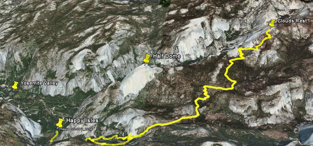
We started out in Happy Isles, the furthest shuttle stop to the east in the Valley. They say it's the most popular trailhead in the park, as it's the same starting point as Half Dome. In fact, the trails run identical along the John Muir Trail for the first 6 or 7 miles... Luckily, the cables were just being installed that day so not many people were on the trail. The trail also leads to Vernal and Nevada Falls, and flow in the falls and streams were absolutely out of control following the heavy winter and recent warm spell.
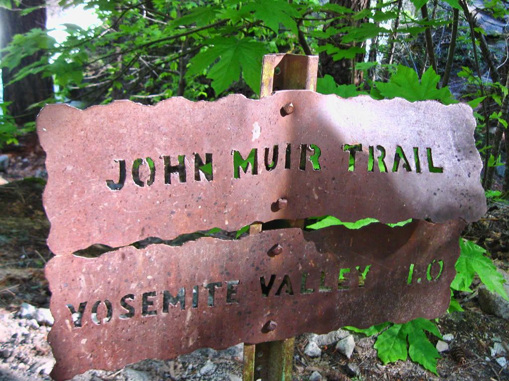
JMT!
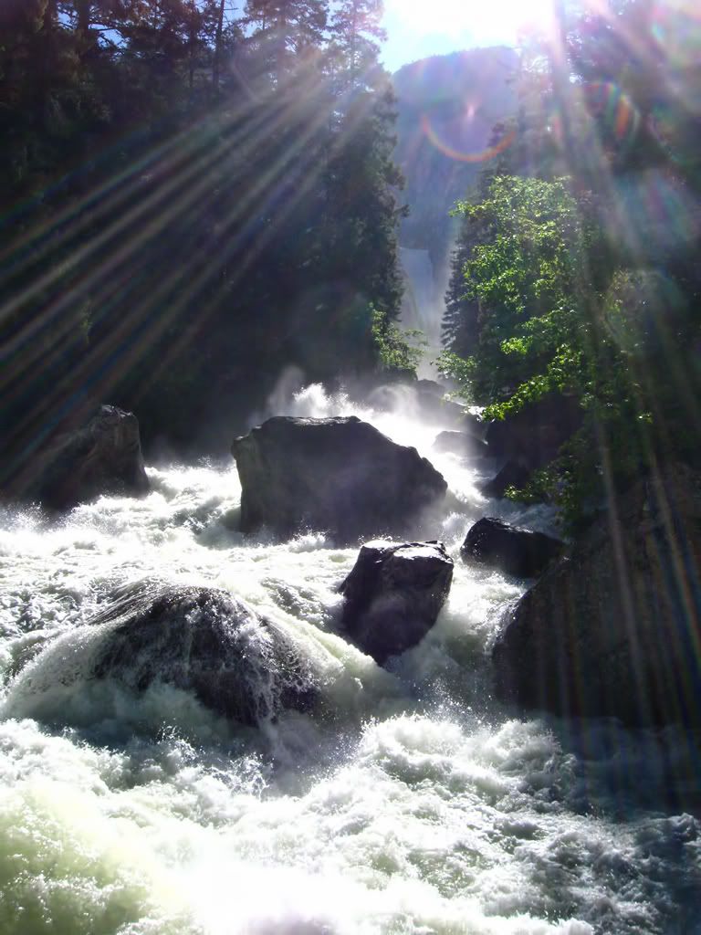
Just downstream from Vernal
The trail essentially winds around Half Dome to the south, and from the start you're rewarded with incredible views:
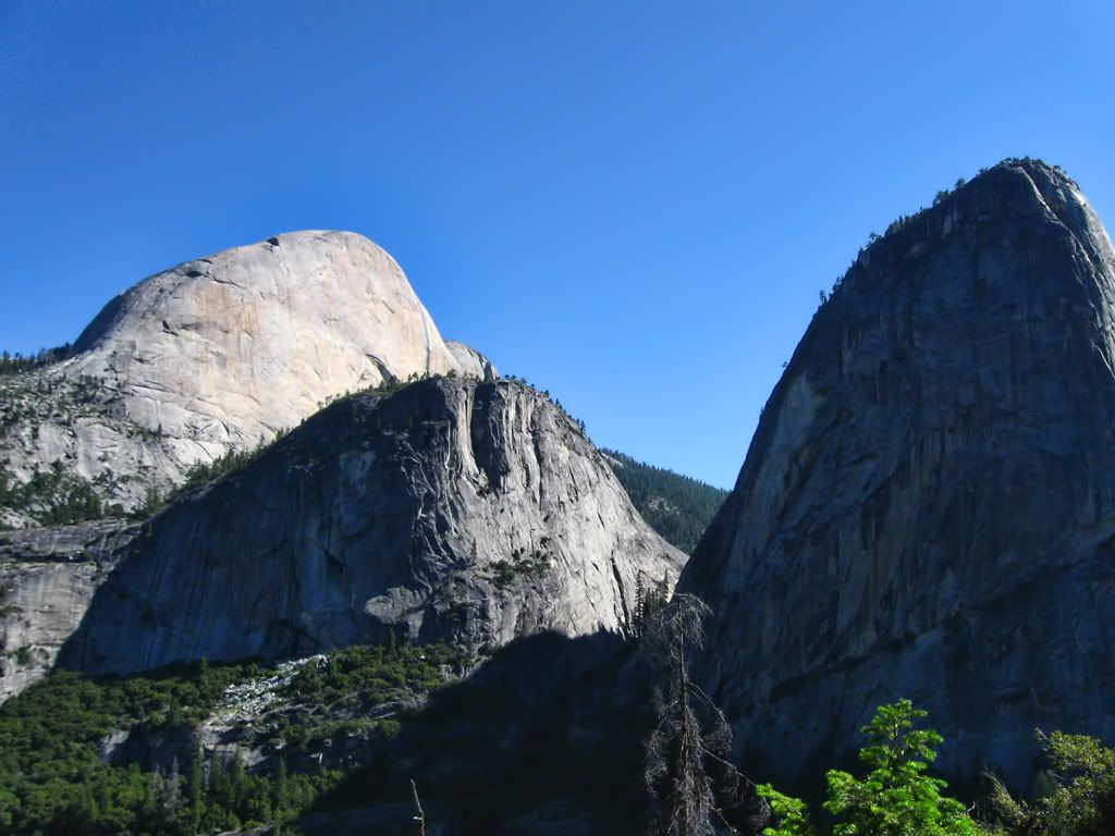
(Half Dome, Mt Broderick, and Liberty Cap)
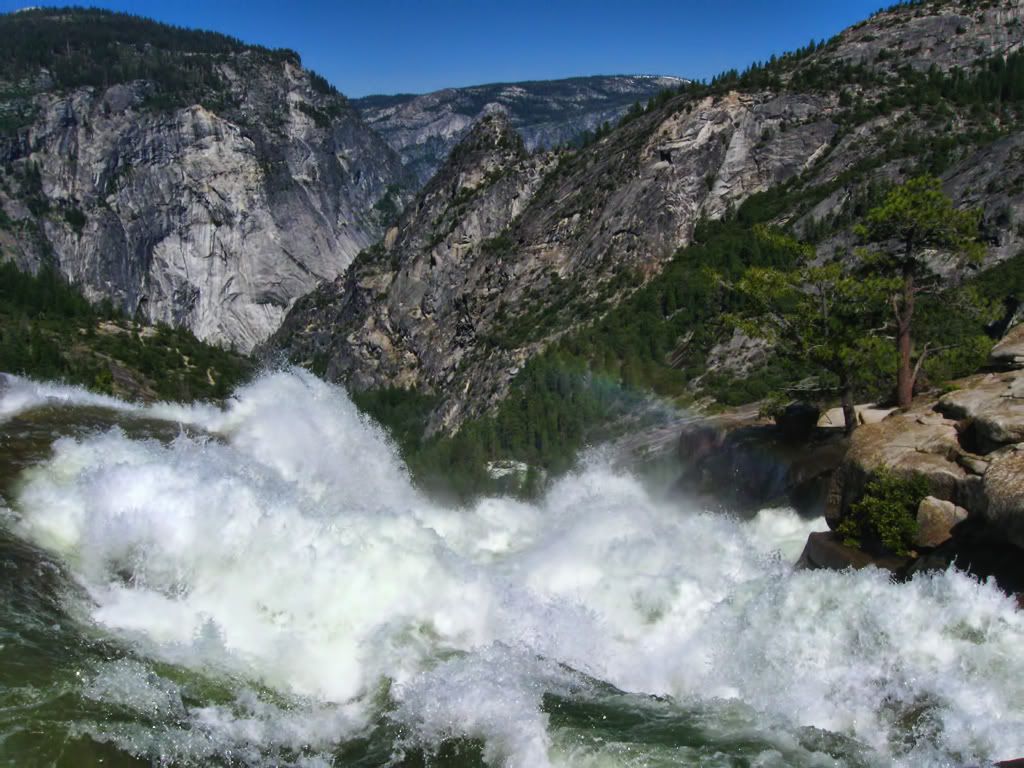
(The precipice of Nevada Fall)
The Clark Range is the first of many snow-capped subranges to come into view, and against the deep blue sky they didn't even look real.
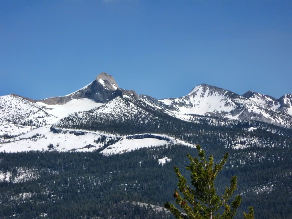
And as we reached the snow level ourselves (around 9k'), the trail disappeared and the views opened up to the rest of the Yosemite High Country. After a bit of route finding (pretty easy on an arete like Clouds Rest), we made our way to the top.
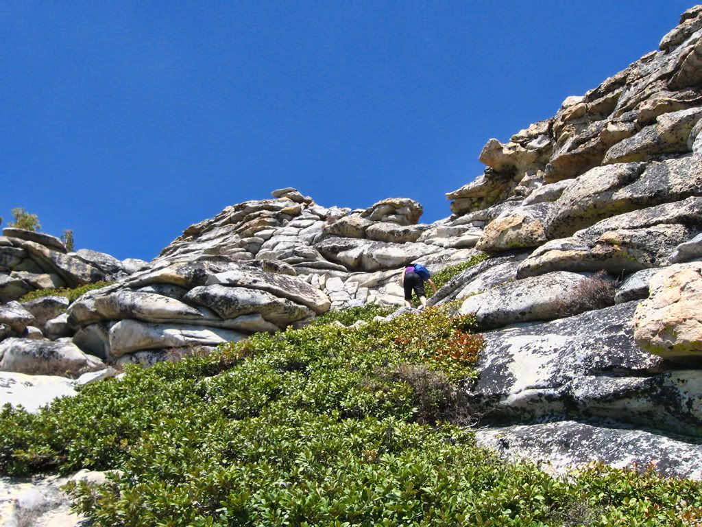
(summit push)
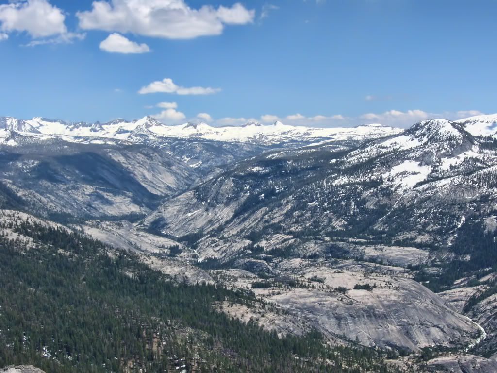
(view north to the Cathedral Range, Mt Lyell being the highest point in Yosemite Nat'l Park)
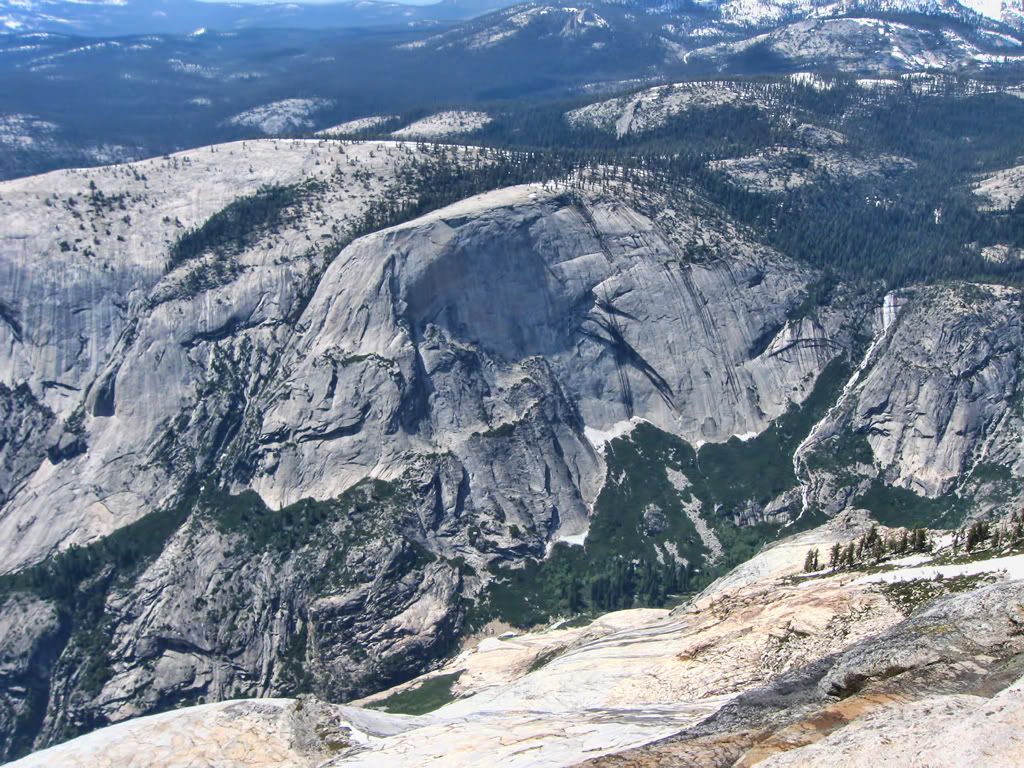
(several thousand feet down Tenaya Canyon)
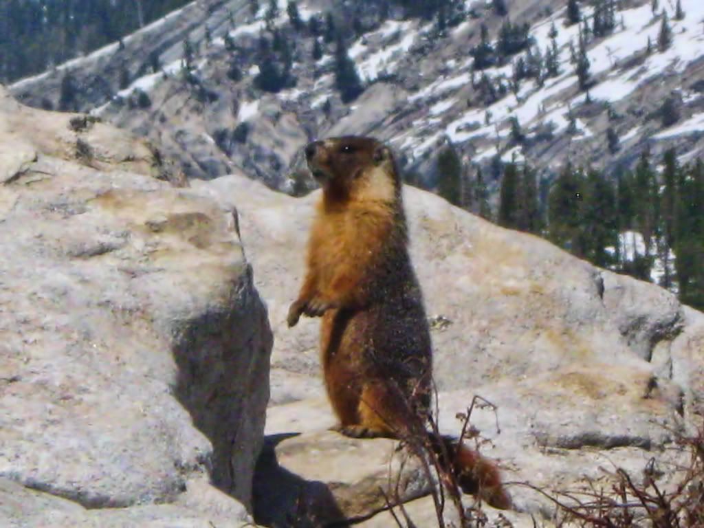
(the locals)
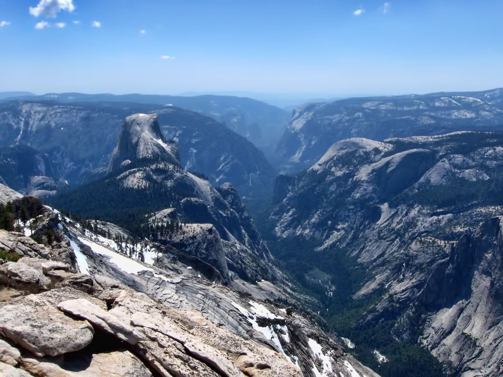
(the view down into Yosemite Valley from Clouds Rest)
Visible features in the photo above include: Half Dome, Sentinel Dome, Glacier Point, The Pinnacles, Quarter Domes, Tenaya Canyon, Tenaya Creek, Mirror Lake, Yosemite Valley, Washington Column, North Dome, Basket Dome, Snow Creek Falls, and El Capitan, among others.... UNBELIEVABLE view.
These photos come nowhere close to caputuring the sheer size of this landscape. By far the best view I've ever had atop a peak.
Has anyone else tried this as a day hike from the Valley? We had a hard time finding any info on how difficult it would be... We can report that it is possible, though you may need a few days to recover fully. The entire trip took us 12 hours, getting back just before sundown; some steep terrain up there.
And I'd do it again in the blink of an eye. 8)
Here are a couple bonus shots for the hell of it:
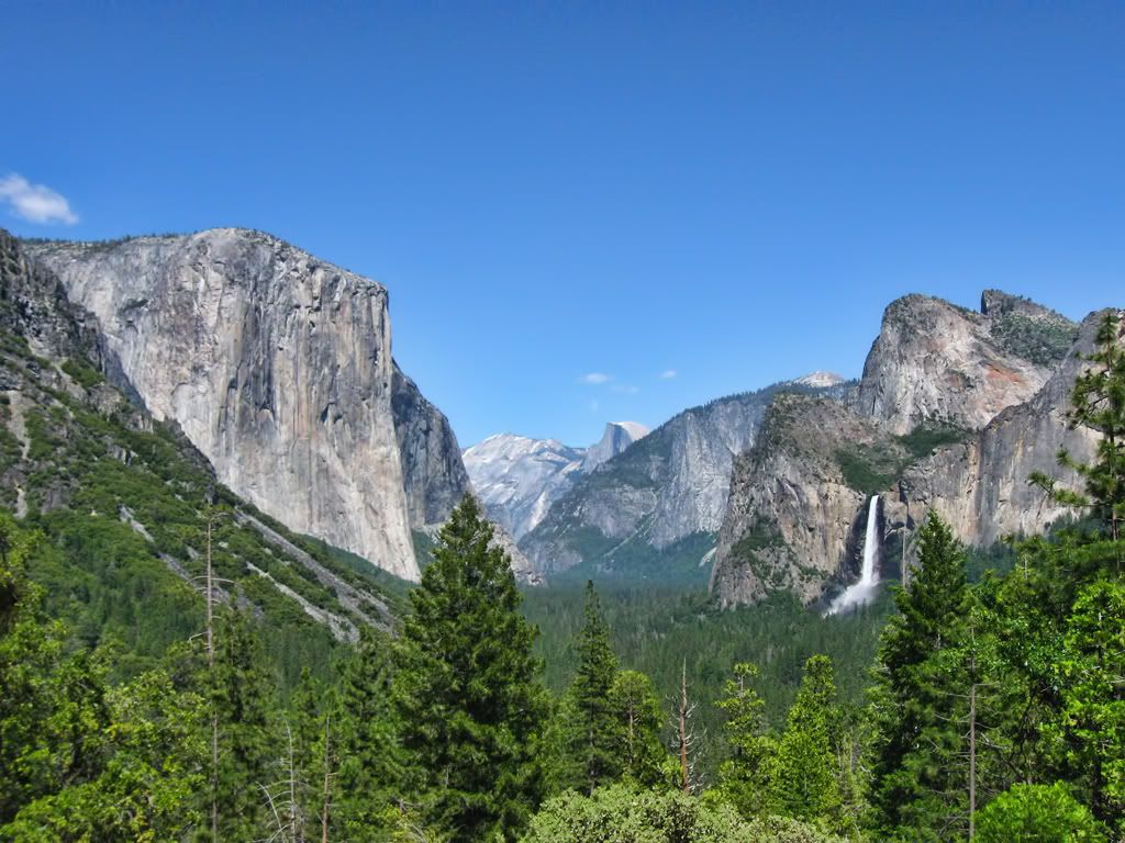
Tunnel View
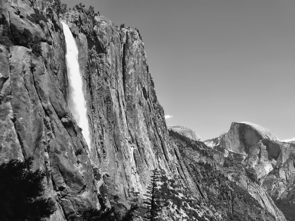
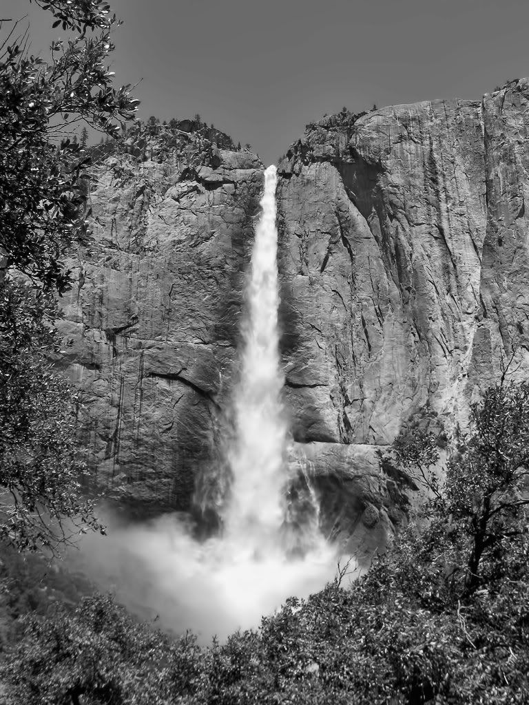
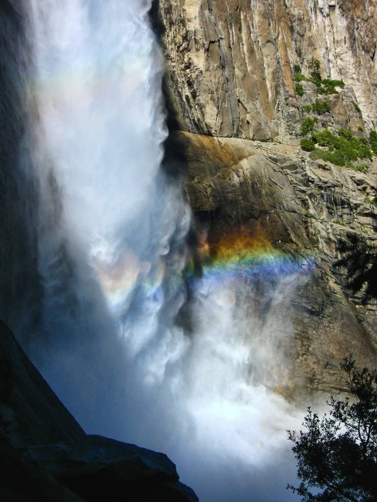
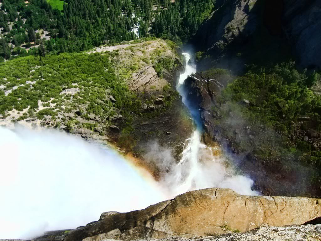
Impersonating Ansel Adams Halfway Up Upper Yosemite Fall
A couple weeks ago, my wife and I had a chance to slip away to Yosemite for a few days. Not particularly wanting to stand in line on a giant boulder, we decided to skip Half Dome and go for the mother of all day hikes up to Clouds Rest, a 21-mile hike with 6000+ gain. It was worth every step.

We started out in Happy Isles, the furthest shuttle stop to the east in the Valley. They say it's the most popular trailhead in the park, as it's the same starting point as Half Dome. In fact, the trails run identical along the John Muir Trail for the first 6 or 7 miles... Luckily, the cables were just being installed that day so not many people were on the trail. The trail also leads to Vernal and Nevada Falls, and flow in the falls and streams were absolutely out of control following the heavy winter and recent warm spell.

JMT!

Just downstream from Vernal
The trail essentially winds around Half Dome to the south, and from the start you're rewarded with incredible views:

(Half Dome, Mt Broderick, and Liberty Cap)

(The precipice of Nevada Fall)
The Clark Range is the first of many snow-capped subranges to come into view, and against the deep blue sky they didn't even look real.

And as we reached the snow level ourselves (around 9k'), the trail disappeared and the views opened up to the rest of the Yosemite High Country. After a bit of route finding (pretty easy on an arete like Clouds Rest), we made our way to the top.

(summit push)

(view north to the Cathedral Range, Mt Lyell being the highest point in Yosemite Nat'l Park)

(several thousand feet down Tenaya Canyon)

(the locals)

(the view down into Yosemite Valley from Clouds Rest)
Visible features in the photo above include: Half Dome, Sentinel Dome, Glacier Point, The Pinnacles, Quarter Domes, Tenaya Canyon, Tenaya Creek, Mirror Lake, Yosemite Valley, Washington Column, North Dome, Basket Dome, Snow Creek Falls, and El Capitan, among others.... UNBELIEVABLE view.
These photos come nowhere close to caputuring the sheer size of this landscape. By far the best view I've ever had atop a peak.
Has anyone else tried this as a day hike from the Valley? We had a hard time finding any info on how difficult it would be... We can report that it is possible, though you may need a few days to recover fully. The entire trip took us 12 hours, getting back just before sundown; some steep terrain up there.
And I'd do it again in the blink of an eye. 8)
Here are a couple bonus shots for the hell of it:

Tunnel View

Impersonating Ansel Adams Halfway Up Upper Yosemite Fall
