Marion, Jean, and Jacinto …1 out of 3 ain’t bad? Mar 5-6
Posted: Mon Mar 07, 2011 3:55 pm
Out the door at 4:30 am, I fired up the Maxima and headed out through Temecula on the 79 to Idyllwild, home of giant carved wooden animals, rock climbing, and this really cool leatherwork dude. I planned to overnight and bag 3 peaks in-and-out from the Deer Springs Trailhead : Marion, Jean, and San Jacinto. On an unrelated note: I’m finding that one of my strengths is underestimating myself or my supplies on winter trips. Did you like how I made it into a strength?! Oh yeah! Never admit fault!
My feet hit the dirt about 7:00 am, and from the car ( 5600ish feet) to about 6800 or so, the snow was here and there. In some spots, snowshoe-worthy. In others, bare rock and dirt.
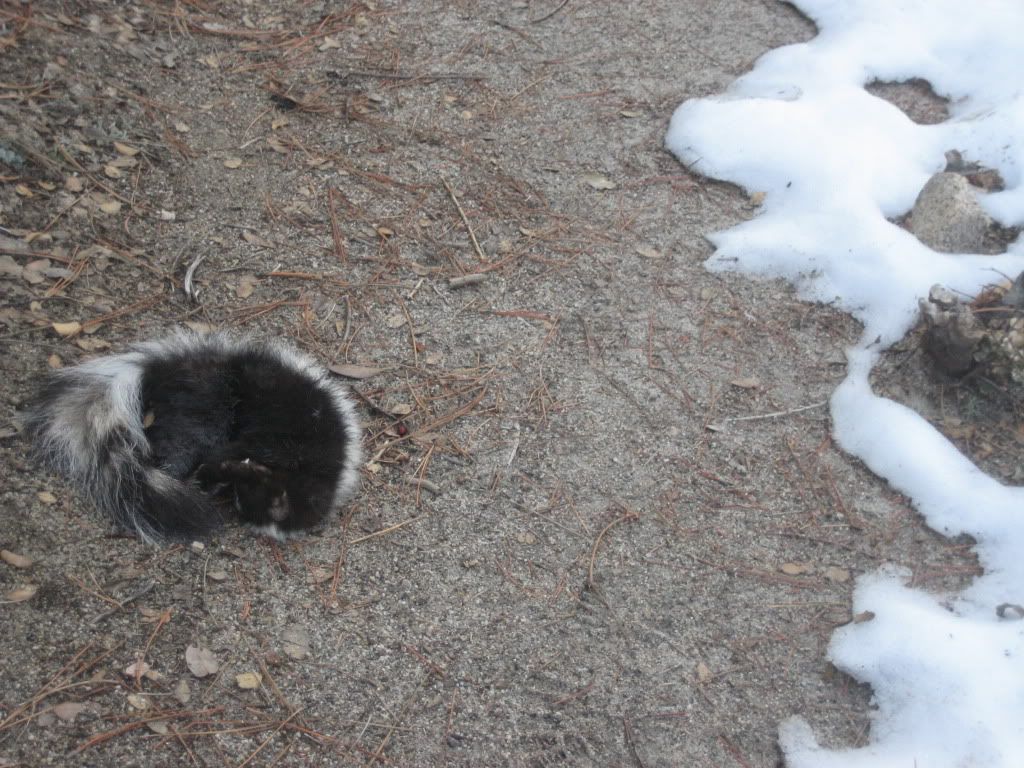
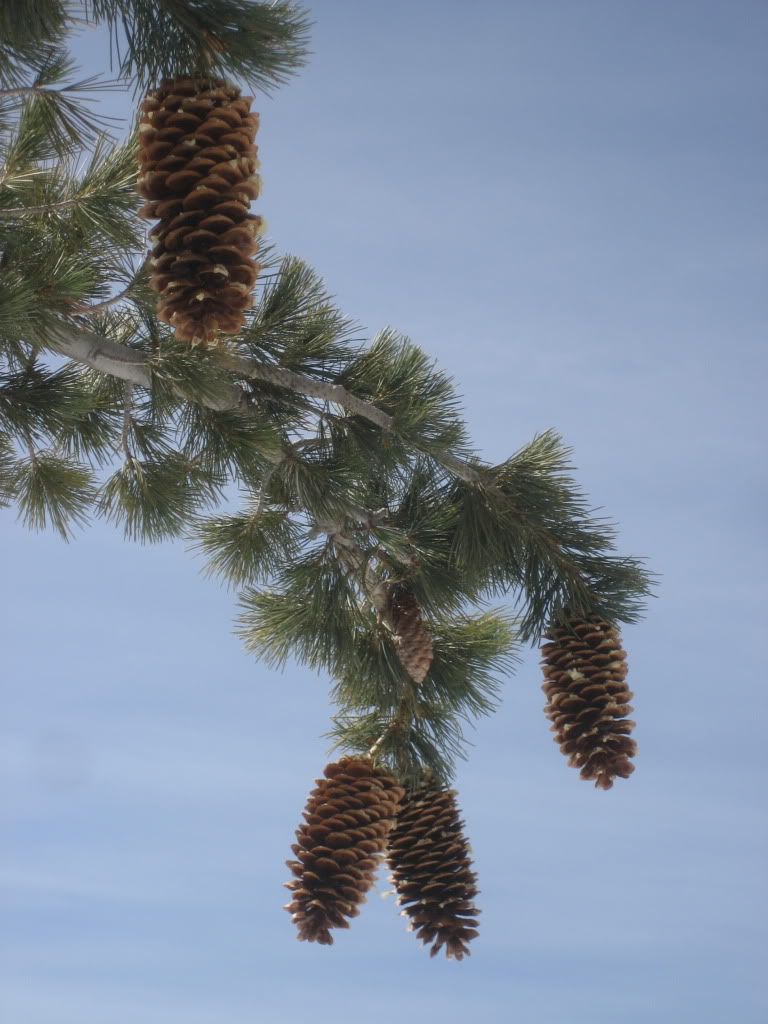
I’m trying to figure out if this was a bad omen…
About 2.3 miles in at the Suicide rock turnoff, the snowshoes went on. They basically stayed on for 90% of the rest of the climb, with just a few hints of earth poking through now and then. I trudged up to Strawberry Junction through the luke-warm week-old powder, which is now my 2nd least favorite snow to break trail in ( next to cold dry fresh powder ). You don’t sink in quite as much, but now your 4 pound snowshoes are caked/covered in a nice heavy slush. Build those quads baby! I wish it had been colder to keep the snow firmer, but we make do, eh? Eh.
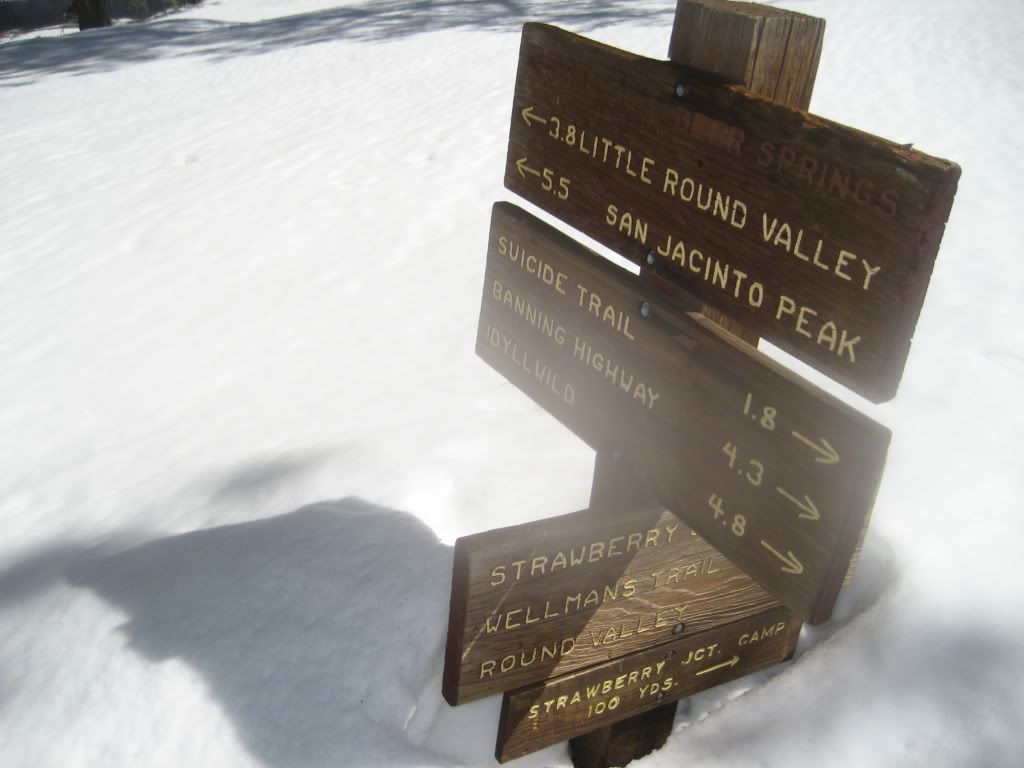
As I reached Strawberry Junction (8000+), I had just finished my 3 liter bladder. Time to melt some snow – git it! I dug a leg pit, set the stove up, and busted out the trail mix and the foam pad for a little rest action.
Please don't run out.
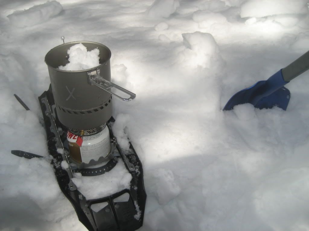
After I snatched up some h2o, I laid back on the pad and snoozed for about 30 minutes. When I woke up, I checked my limbs for signs of mountain lion attack, and packed it all up for the struggle ahead.
I wasn’t quite sure which way to go, but with the help of my topo map and m’gut, I choose a direction and headed off into the trees. As I passed 8500 feet or so, the trees and snowdrifts were joined by a ton of friendly boulders, which made route-finding a little interesting.
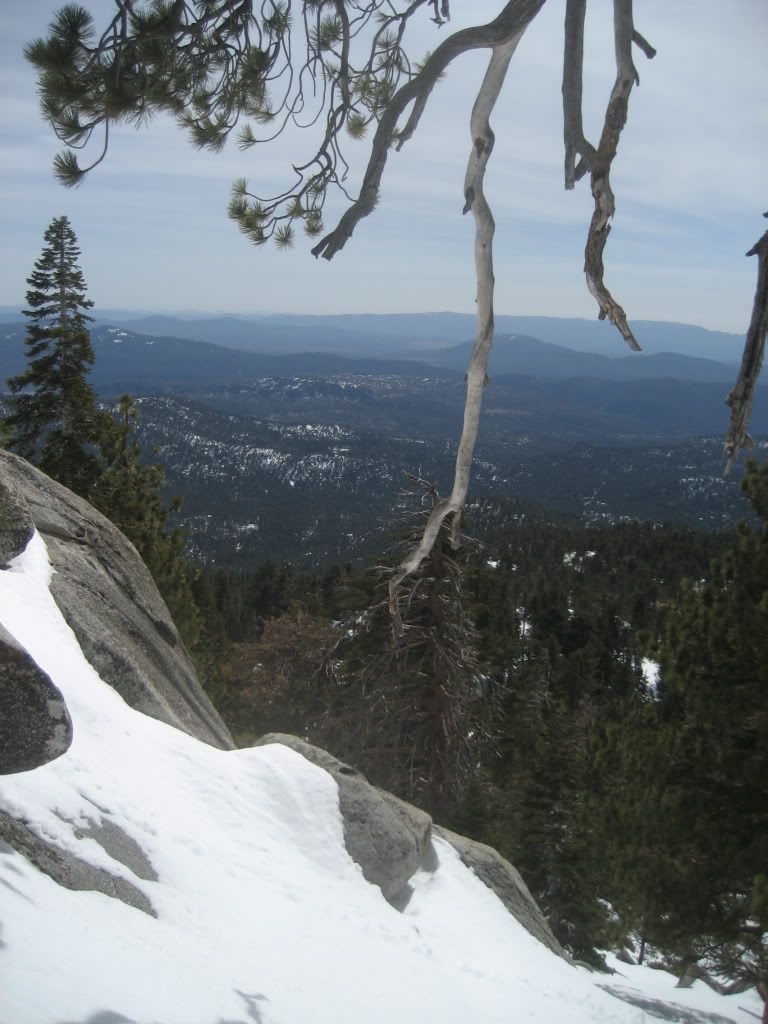
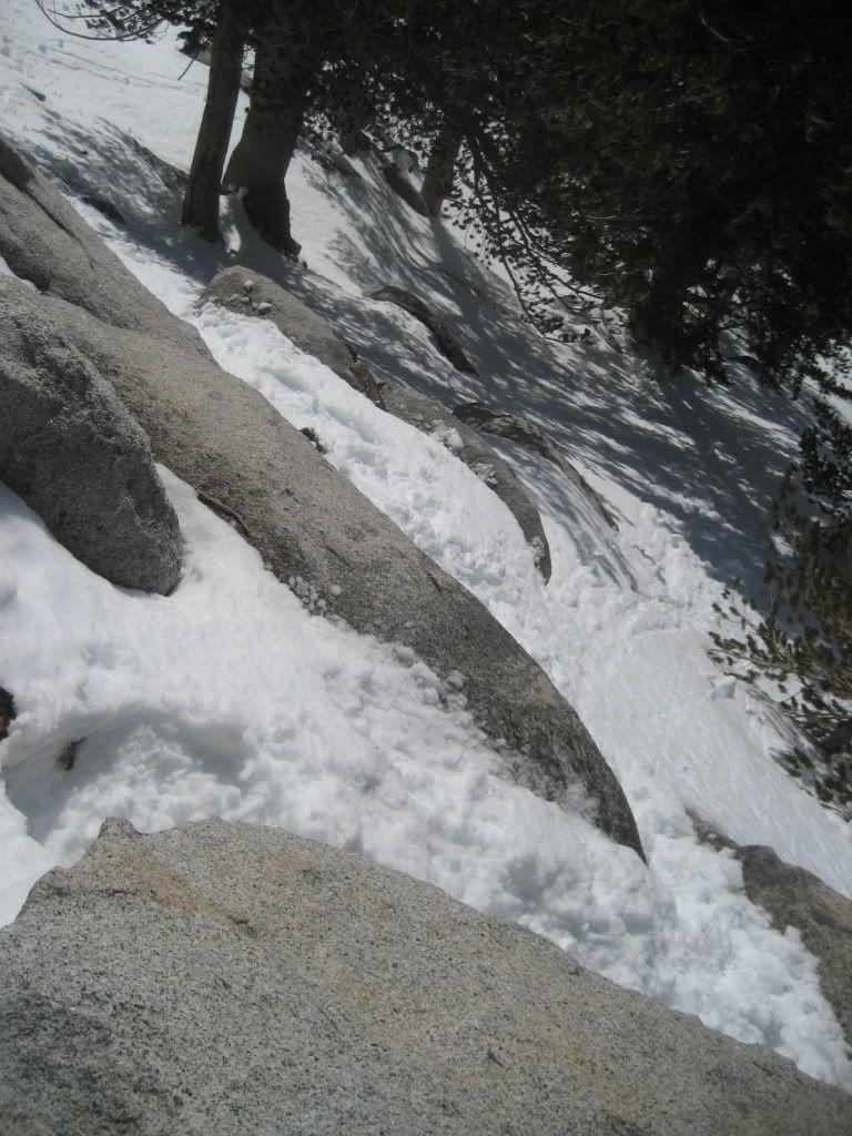
On this particular face, it alternated between sinking and sliding through the wet snow, and then scrambling rocky ledges with the shoes still on. It would have been a major pain to keep taking them off and putting them back on, so it was adventures of class 3 snowshoe climb session yeah!
Questionable - and just the beginning
Much-needed rest
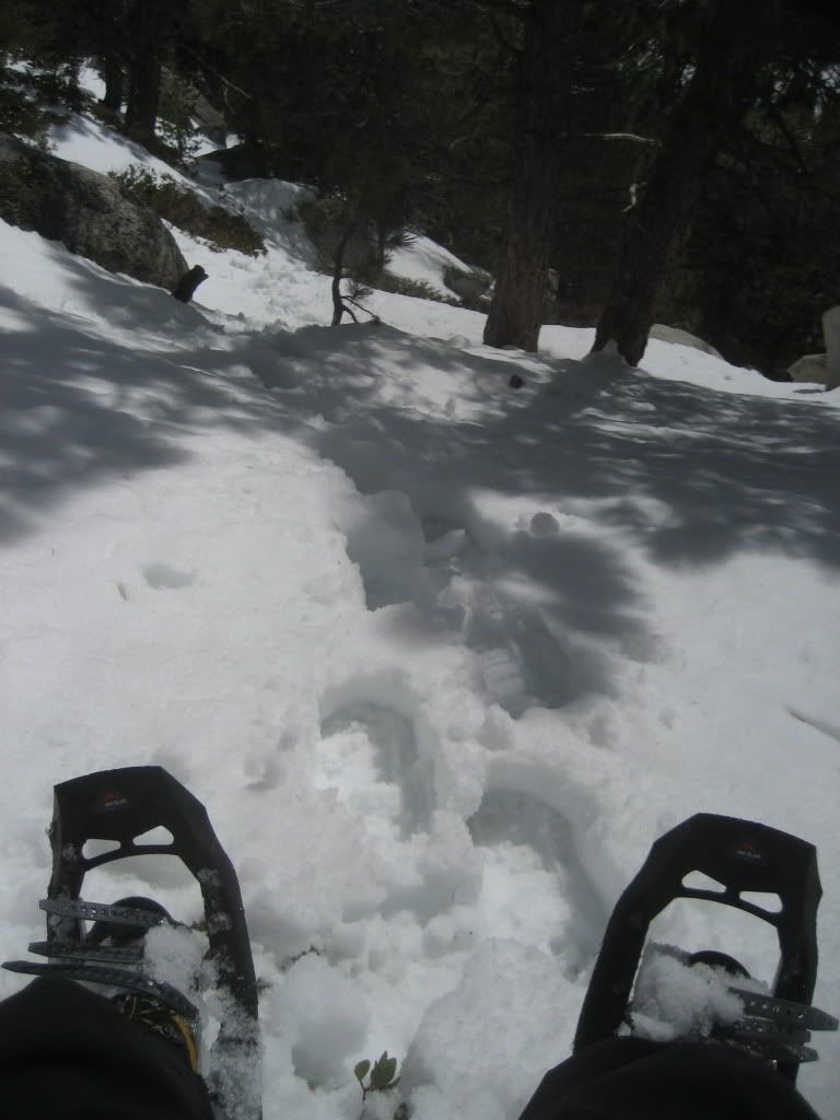
Luckily for me, the snow was more frequent than the stone, and I made my way up to 9000ish feet at the small saddle. I headed up to a small peak just shy of 9200 to have a look around, and was greeted by beautiful views of Taquitz, etc.
Is that how you spell it?
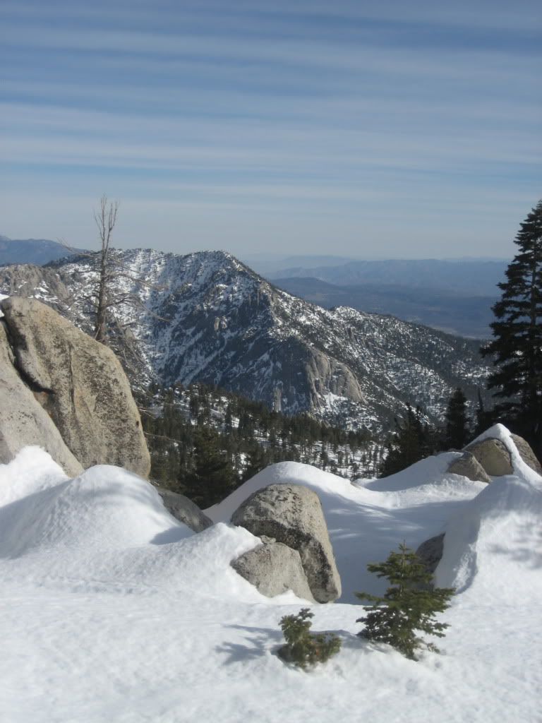
I realized there was no more to climb heading that direction, so I headed back across the saddle and began picking my way through a slope of massive boulders and drifted snow.
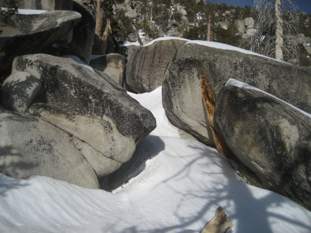
Motherf***er.
This part was a BEAST. The boulders ranged from my-ego-sized to house-sized, and there really wasn’t a consistent path of snow between them. In addition, the snow that was between them jumped back and forth from ice-hard to snow-bridge surprise! I punched through so much trying to squeeze between and up these things, and I was becoming more and more exhausted. I would imagine I spent at least 3 times as much energy getting up this 600 feet of boulders as I would just hoofing it up the same hill with a hardpack slope.
Yeah! I love it!
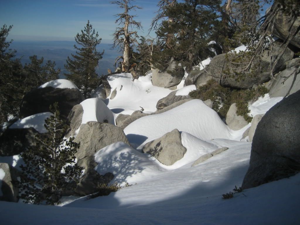
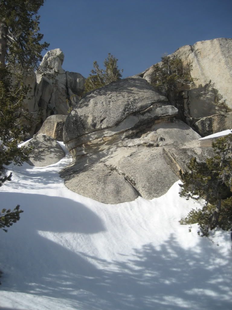
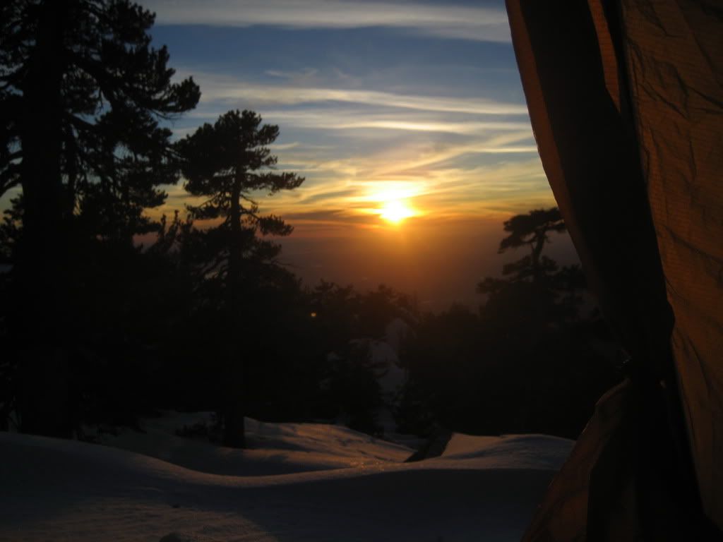
The sun was getting lower in the sky, and I decided to find a decent spot to camp once I crested the pile of giant rocks. I settled in around 9600 feet, and even though it’s not my style, I actually picked a great spot out of the wind. I could hear it howling all night in the trees above me, but my tent barely moved. Before I hit the sack at 7 pm, I melted some more snow for water, ate a little, and watched the sun sink into the horizon. Que bueno.
View from m'tent
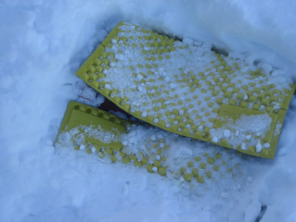
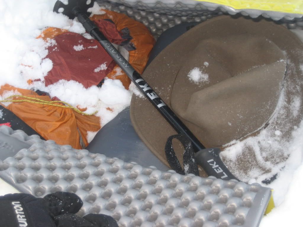
Alarm goes off at 3:30am, and I’m so happy to climb out into the cold. So happy. I started packing up my gear in the tent, trying to melt some snow to fill my 3 liter bladder, and deciding what to do with my gear that I don’t want to schlep to the 3 summits I will attempt that day. Turns out, according to my gas canister, I won’t have enough water to make all three peaks and back to the car. I was only able to eek out enough for the bladder, and I knew myself – I’d need way more than that to complete my trip. I figured I could at least get Marion done and back with that…probably be dry not too far from the car, so I modified the plan as such. Everything I didn’t want to carry – I buried wrapped up in my sleeping pad a few inches under the snow.
Secret stash upon my return
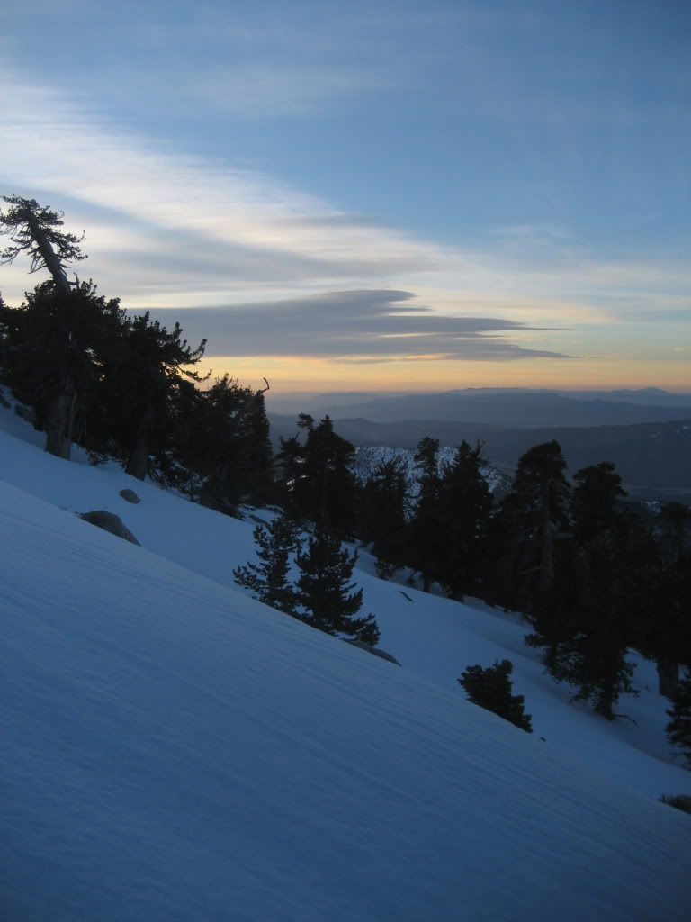
I took my food, water, and a few essentials and headed off into the dark. I was moving just before 5 am towards the saddle below Marion’s summit. The snow was firmer in the early morn, but I was still sinking in quite a bit as I traversed the slope and climbed. It didn't really firm up until 10,000 feet or so, and I think most of that was due to the winds up there beating the hell out of it. As I climbed up the last face below the summit of Marion, the sun came up and provided a little extra light for this ole boy.
Good morning Marion
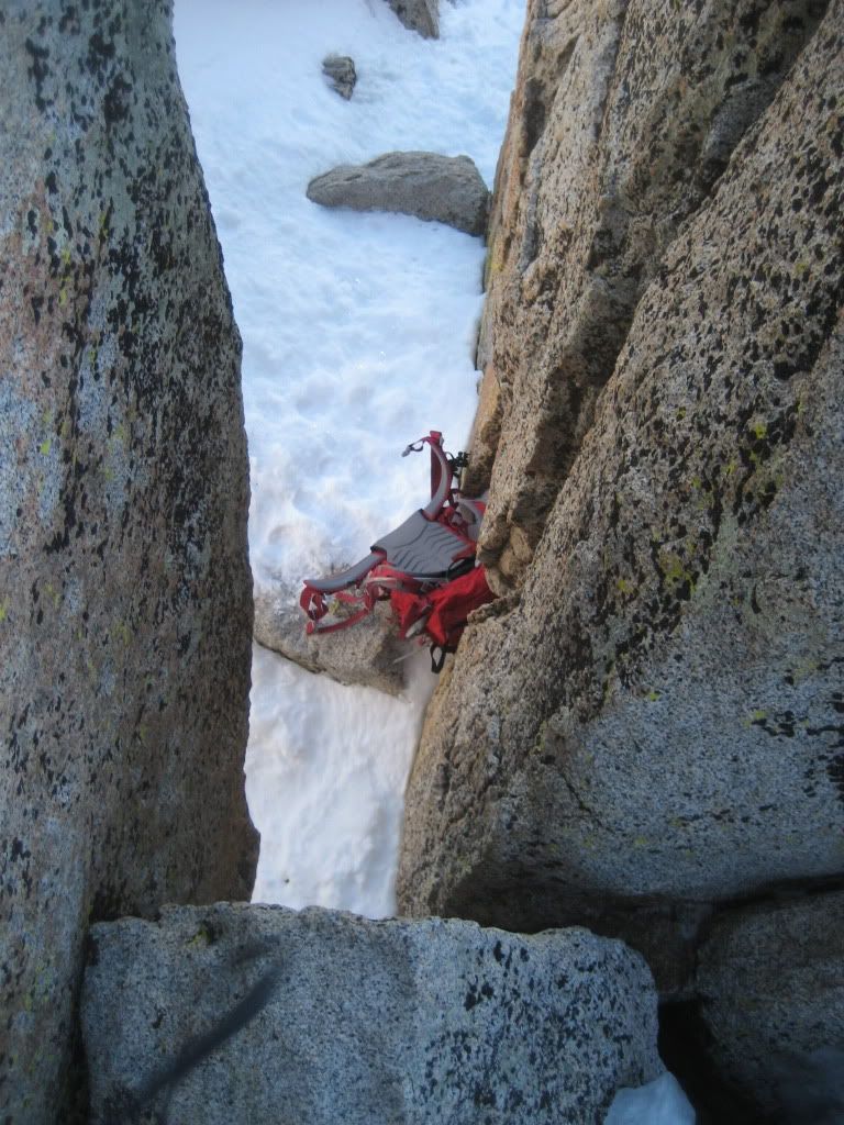
About 40 feet from the top, I dumped my shoes and pole and iceaxe, and scrambled around and up the boulder-pile that is the summit of Marion. The last 12-15 feet is a fun little pseudo-stemming problem, which would be no big deal anywhere else, but a potential broken leg up here is a huge pain in the butt(leg). I eyed a climb up the backside, but I felt more secure in my boots in the little chimney. Pack came off, and I very methodically climbed up to the top, careful to stay low and hang on in the powerful gusts of wind.
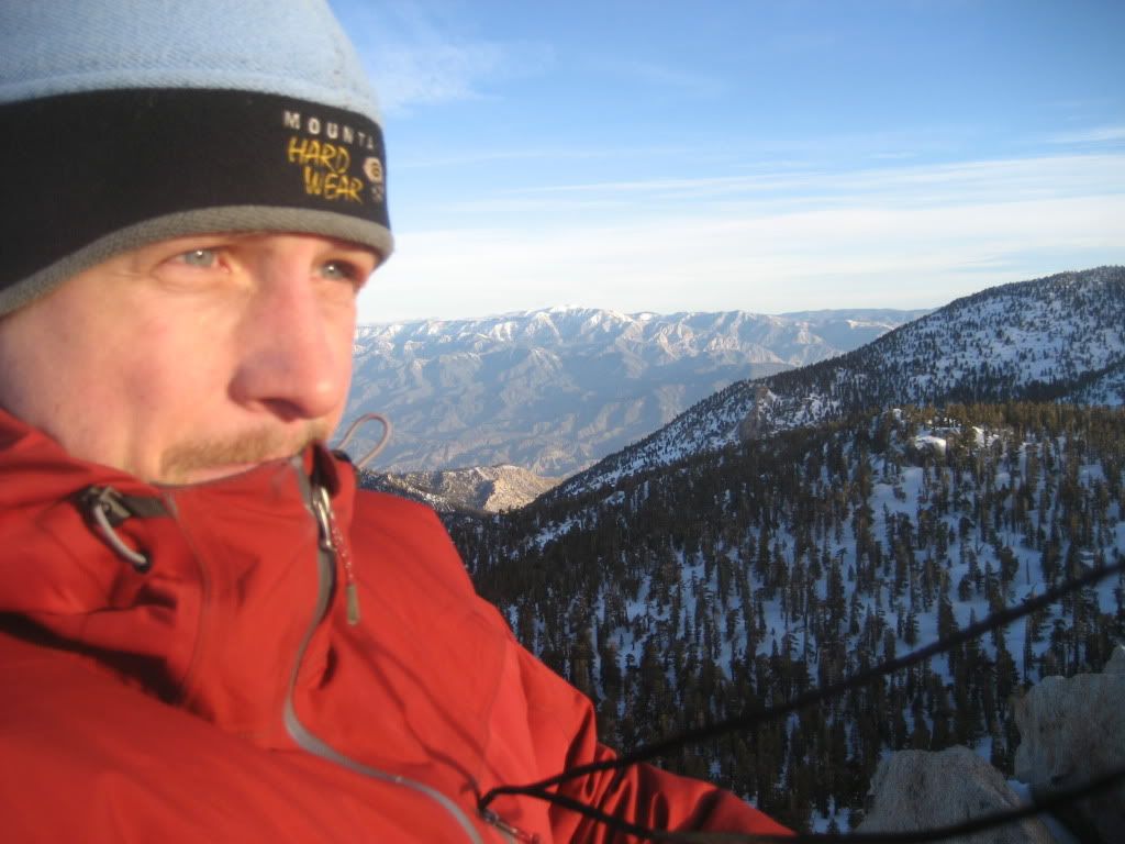
The clouds were tearing over the top of San Jacinto in the distance, and I could see the Gabes and the Gorns and pretty much everything else. What a nice finish to a tough route, the last 300 feet were really nice, and the views were excellent.
More windy than a beast - gps cord blowing straight out
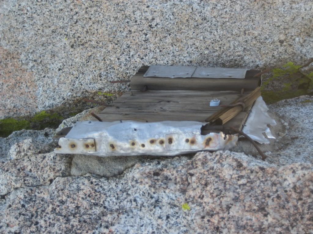
Someone left their old piece of crap wooden box chunks up here
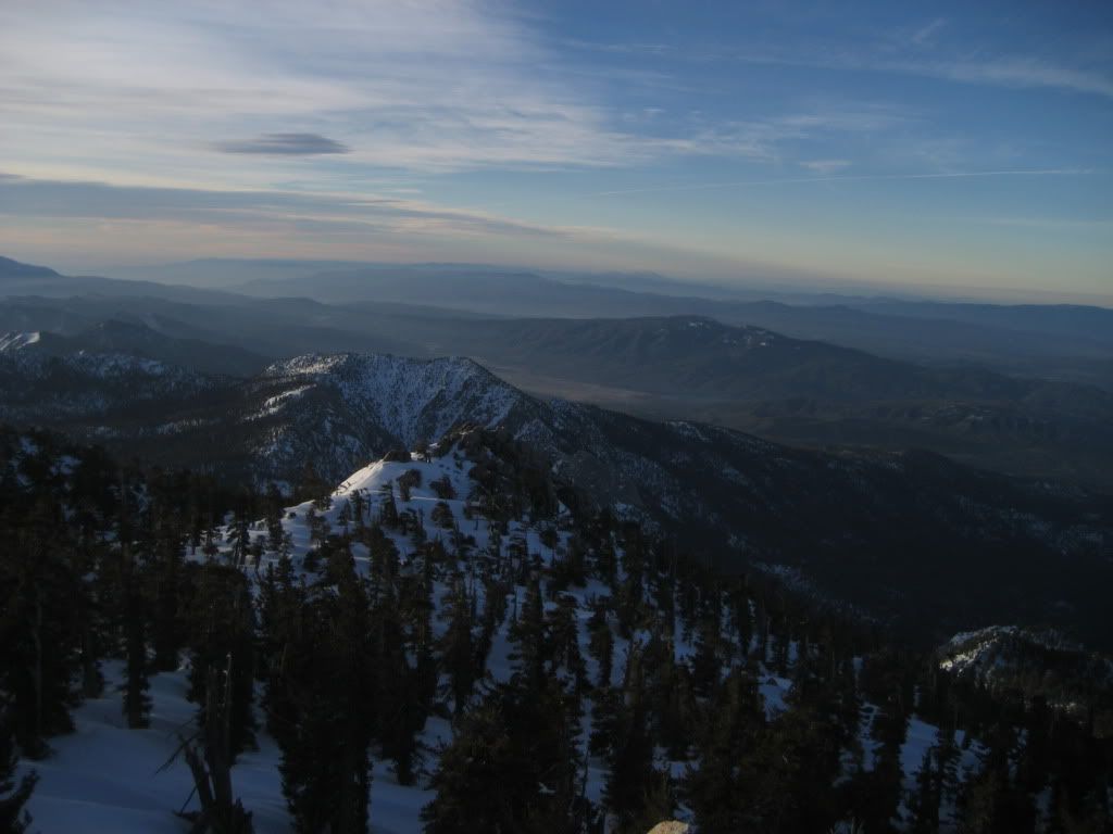
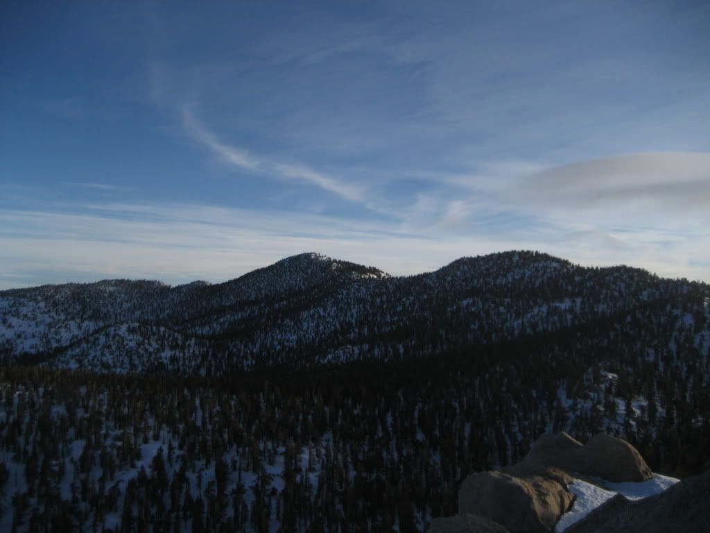
My two other goals out of reach
I climbed back down to my pack, found my way back to my shoes/axe, and then headed down the face in a more direct path than I thought I came up. I had probably burned through half of my bladder of water by then, and I was trying to manage my perspiration by keeping only enough clothes on to stay reasonably warm. I returned to my campsite at 9600, dug up the rest of my gear and repacked it, and started towards my favorite boulder field of death. "Going downhill through these things will HAVE to be easier, right?"
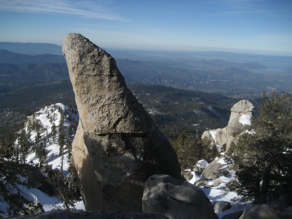
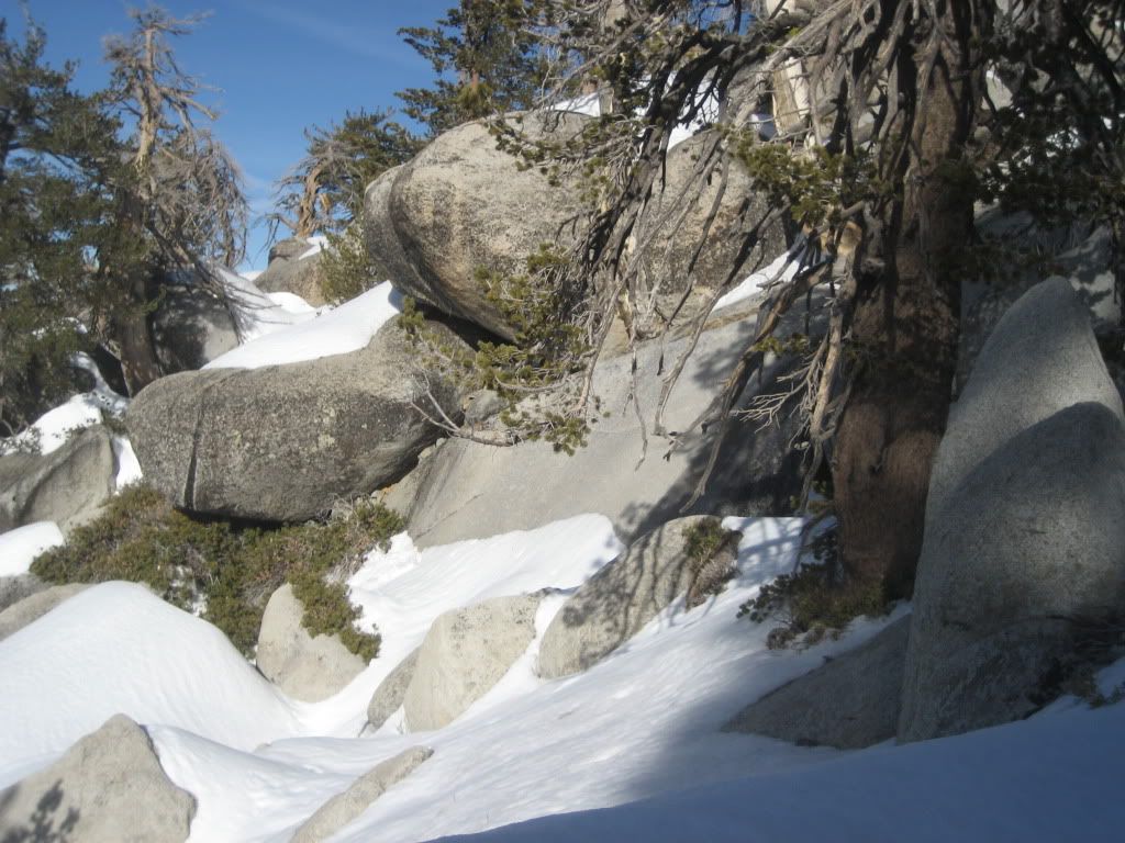
Nope.
I tried to head down slightly more east of my original route up, and it turned out to be even more difficult. I was punching snowshoe shaped holes through 3 feet of snow, surrounded by the top half of huge boulders, and when I pulled up the sunken leg, I'd see several feet of daylight and the bottoms of those giant boulders down below. Super safe yeah! To get out of some pits, I had to scramble/scrape up and down the face of these things in my shoes, sliding down slopers and then jumping the gap and landing in the drifts across the way. Funny to watch - scary to experience. Bottom line is - I'm an idiot. I made it though!
The rest of the way down was pretty non-eventful, save for running out of water a couple thousand feet above the car, and the awesome tracks I found running along the side of the mountain. They looked a couple days old (wind/sun degraded), and I know my pictures don't give much, but I wonder if anyone has an idea on the guilty party. I have big hand (XL glove), and my fingers are spread to show the length of the print. I would imagine the actual paw was smaller than the imprint, and they seemed to be longer than they were wide for sure. It seemed like the total width of the path was fairly narrow, which reminds me how a cat will walk like they're on a balance beam, but I'm not sure they were feline. Maybe a big coyote? I found them around 8600 feet or so.
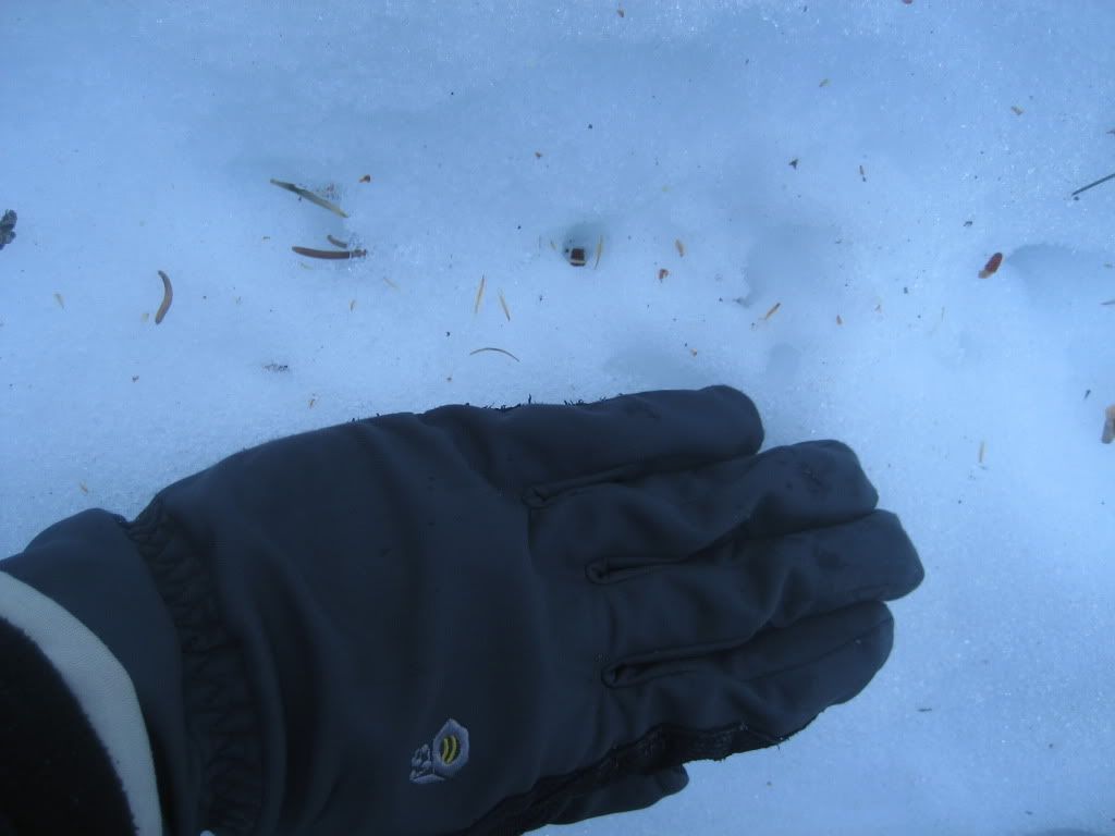
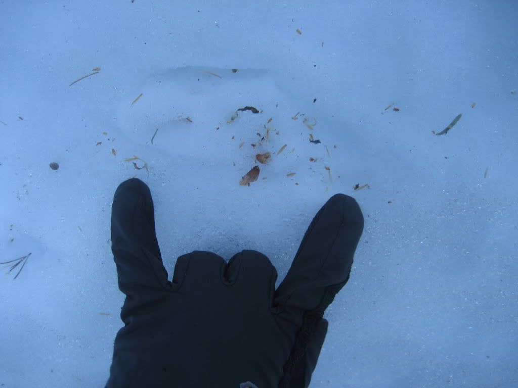
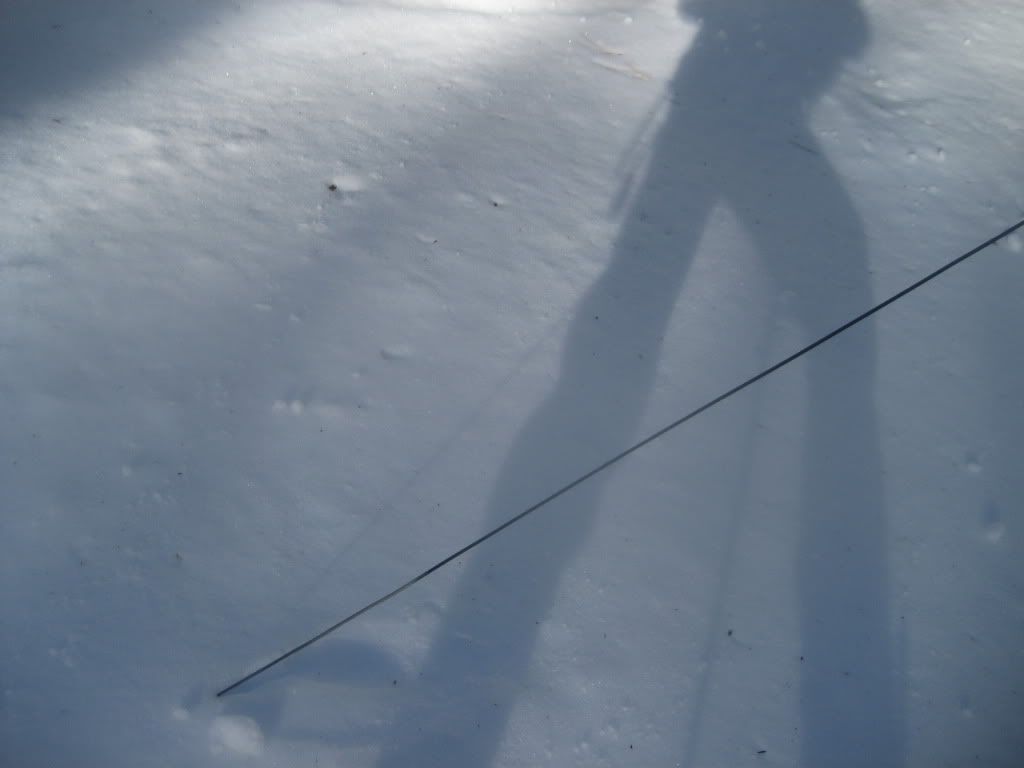
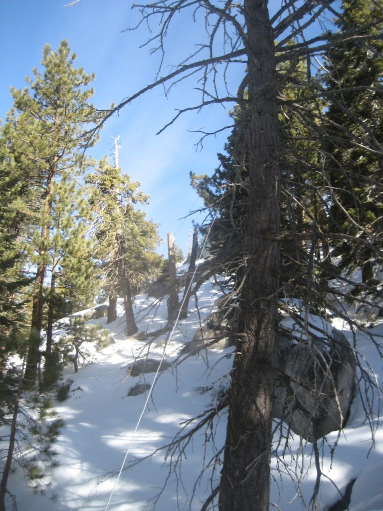
I also found some odd cables running up to dead trees from the ground near a Strawberry Junction, any ideas on these things?
Who knows? I dry-mouth-shuffled the 4 or 5 miles back down to the car from the junction, and after I hydrated and let my stomach settle for a bit, had a great burger at some joint in Idyllwild. Life is good.
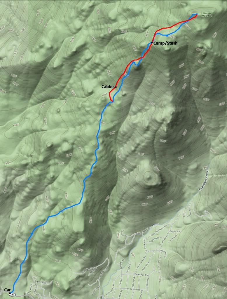
Blue on the way up, red shows my different path down to the junction
My feet hit the dirt about 7:00 am, and from the car ( 5600ish feet) to about 6800 or so, the snow was here and there. In some spots, snowshoe-worthy. In others, bare rock and dirt.
I’m trying to figure out if this was a bad omen…

About 2.3 miles in at the Suicide rock turnoff, the snowshoes went on. They basically stayed on for 90% of the rest of the climb, with just a few hints of earth poking through now and then. I trudged up to Strawberry Junction through the luke-warm week-old powder, which is now my 2nd least favorite snow to break trail in ( next to cold dry fresh powder ). You don’t sink in quite as much, but now your 4 pound snowshoes are caked/covered in a nice heavy slush. Build those quads baby! I wish it had been colder to keep the snow firmer, but we make do, eh? Eh.

As I reached Strawberry Junction (8000+), I had just finished my 3 liter bladder. Time to melt some snow – git it! I dug a leg pit, set the stove up, and busted out the trail mix and the foam pad for a little rest action.
Please don't run out.

After I snatched up some h2o, I laid back on the pad and snoozed for about 30 minutes. When I woke up, I checked my limbs for signs of mountain lion attack, and packed it all up for the struggle ahead.
I wasn’t quite sure which way to go, but with the help of my topo map and m’gut, I choose a direction and headed off into the trees. As I passed 8500 feet or so, the trees and snowdrifts were joined by a ton of friendly boulders, which made route-finding a little interesting.


On this particular face, it alternated between sinking and sliding through the wet snow, and then scrambling rocky ledges with the shoes still on. It would have been a major pain to keep taking them off and putting them back on, so it was adventures of class 3 snowshoe climb session yeah!
Questionable - and just the beginning

Much-needed rest

Luckily for me, the snow was more frequent than the stone, and I made my way up to 9000ish feet at the small saddle. I headed up to a small peak just shy of 9200 to have a look around, and was greeted by beautiful views of Taquitz, etc.
Is that how you spell it?

I realized there was no more to climb heading that direction, so I headed back across the saddle and began picking my way through a slope of massive boulders and drifted snow.

Motherf***er.
This part was a BEAST. The boulders ranged from my-ego-sized to house-sized, and there really wasn’t a consistent path of snow between them. In addition, the snow that was between them jumped back and forth from ice-hard to snow-bridge surprise! I punched through so much trying to squeeze between and up these things, and I was becoming more and more exhausted. I would imagine I spent at least 3 times as much energy getting up this 600 feet of boulders as I would just hoofing it up the same hill with a hardpack slope.
Yeah! I love it!


The sun was getting lower in the sky, and I decided to find a decent spot to camp once I crested the pile of giant rocks. I settled in around 9600 feet, and even though it’s not my style, I actually picked a great spot out of the wind. I could hear it howling all night in the trees above me, but my tent barely moved. Before I hit the sack at 7 pm, I melted some more snow for water, ate a little, and watched the sun sink into the horizon. Que bueno.
View from m'tent

Alarm goes off at 3:30am, and I’m so happy to climb out into the cold. So happy. I started packing up my gear in the tent, trying to melt some snow to fill my 3 liter bladder, and deciding what to do with my gear that I don’t want to schlep to the 3 summits I will attempt that day. Turns out, according to my gas canister, I won’t have enough water to make all three peaks and back to the car. I was only able to eek out enough for the bladder, and I knew myself – I’d need way more than that to complete my trip. I figured I could at least get Marion done and back with that…probably be dry not too far from the car, so I modified the plan as such. Everything I didn’t want to carry – I buried wrapped up in my sleeping pad a few inches under the snow.
Secret stash upon my return


I took my food, water, and a few essentials and headed off into the dark. I was moving just before 5 am towards the saddle below Marion’s summit. The snow was firmer in the early morn, but I was still sinking in quite a bit as I traversed the slope and climbed. It didn't really firm up until 10,000 feet or so, and I think most of that was due to the winds up there beating the hell out of it. As I climbed up the last face below the summit of Marion, the sun came up and provided a little extra light for this ole boy.
Good morning Marion

About 40 feet from the top, I dumped my shoes and pole and iceaxe, and scrambled around and up the boulder-pile that is the summit of Marion. The last 12-15 feet is a fun little pseudo-stemming problem, which would be no big deal anywhere else, but a potential broken leg up here is a huge pain in the butt(leg). I eyed a climb up the backside, but I felt more secure in my boots in the little chimney. Pack came off, and I very methodically climbed up to the top, careful to stay low and hang on in the powerful gusts of wind.

The clouds were tearing over the top of San Jacinto in the distance, and I could see the Gabes and the Gorns and pretty much everything else. What a nice finish to a tough route, the last 300 feet were really nice, and the views were excellent.
More windy than a beast - gps cord blowing straight out

Someone left their old piece of crap wooden box chunks up here


My two other goals out of reach

I climbed back down to my pack, found my way back to my shoes/axe, and then headed down the face in a more direct path than I thought I came up. I had probably burned through half of my bladder of water by then, and I was trying to manage my perspiration by keeping only enough clothes on to stay reasonably warm. I returned to my campsite at 9600, dug up the rest of my gear and repacked it, and started towards my favorite boulder field of death. "Going downhill through these things will HAVE to be easier, right?"


Nope.
I tried to head down slightly more east of my original route up, and it turned out to be even more difficult. I was punching snowshoe shaped holes through 3 feet of snow, surrounded by the top half of huge boulders, and when I pulled up the sunken leg, I'd see several feet of daylight and the bottoms of those giant boulders down below. Super safe yeah! To get out of some pits, I had to scramble/scrape up and down the face of these things in my shoes, sliding down slopers and then jumping the gap and landing in the drifts across the way. Funny to watch - scary to experience. Bottom line is - I'm an idiot. I made it though!
The rest of the way down was pretty non-eventful, save for running out of water a couple thousand feet above the car, and the awesome tracks I found running along the side of the mountain. They looked a couple days old (wind/sun degraded), and I know my pictures don't give much, but I wonder if anyone has an idea on the guilty party. I have big hand (XL glove), and my fingers are spread to show the length of the print. I would imagine the actual paw was smaller than the imprint, and they seemed to be longer than they were wide for sure. It seemed like the total width of the path was fairly narrow, which reminds me how a cat will walk like they're on a balance beam, but I'm not sure they were feline. Maybe a big coyote? I found them around 8600 feet or so.


I also found some odd cables running up to dead trees from the ground near a Strawberry Junction, any ideas on these things?


Who knows? I dry-mouth-shuffled the 4 or 5 miles back down to the car from the junction, and after I hydrated and let my stomach settle for a bit, had a great burger at some joint in Idyllwild. Life is good.
Blue on the way up, red shows my different path down to the junction


