Tahquitz Traditional mountain rock climbing 9-15-2010
Posted: Sun Sep 19, 2010 11:30 pm
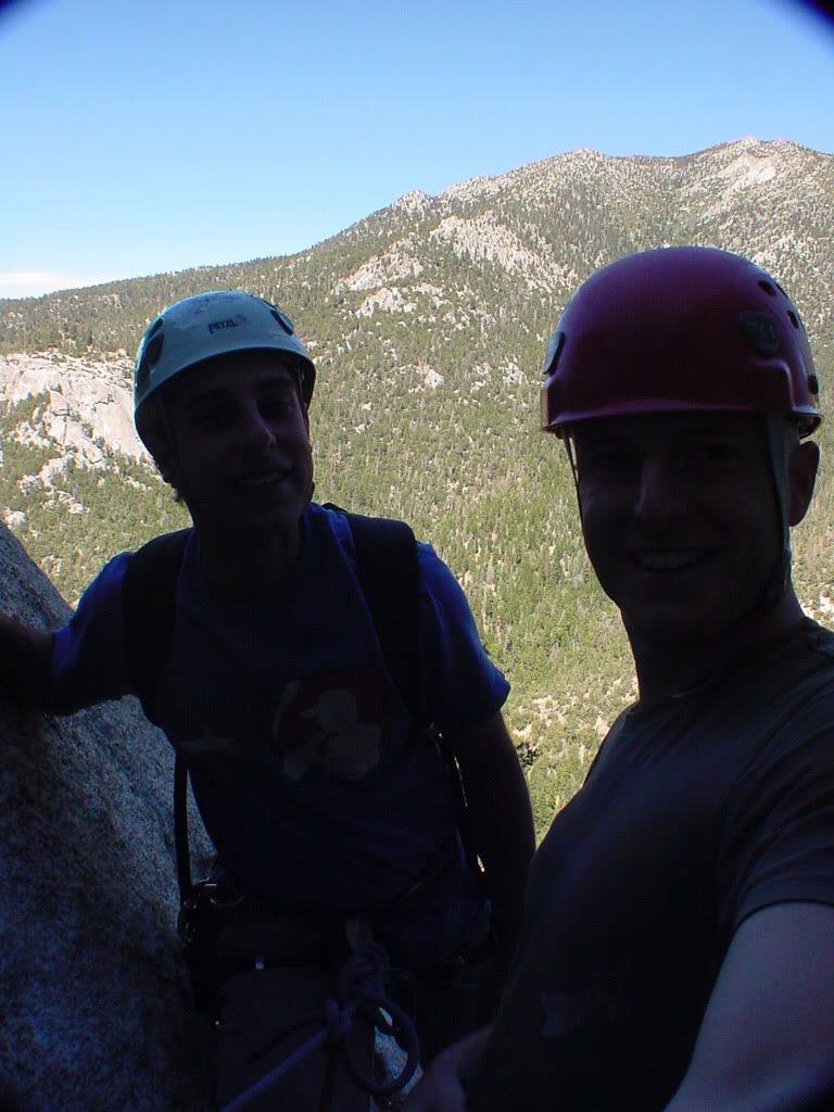
Zach and I headed out to Tahquitz(Lilly rock) around the town of Idyllwild for a beautiful day of traditional rock climbing.The drive up was very nice and relaxing,weather couldn't have been better.Stopped by ihop for the champion breakfast early in the am =D We then geared up for a classic route.
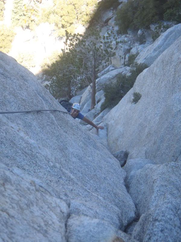
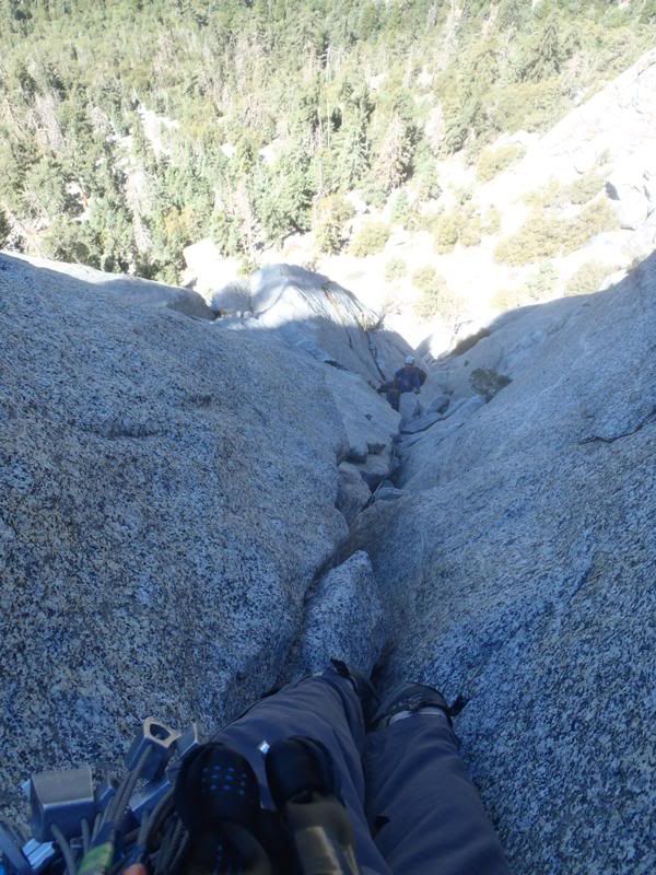
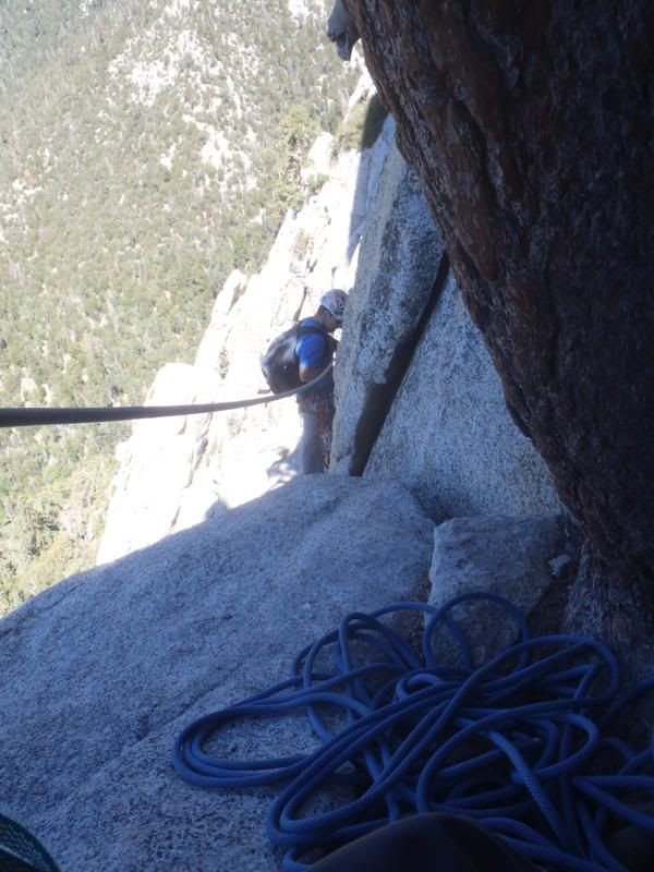
The approach is STEEP,just imagine high stepping 800 feet elevation gain in about 20 minutes haha needless to say it was a great warm up exercise =).Awesome climbing,very fun,Zach leads,I follow/clean(collect stuck cams from previous ascents hahaa,loads of laughs and a beautiful run out slab summit.Climbed about 450-500 feet total to top out on the western face.
"wikipedia: Tahquitz, also called Lily Rock [8,000+ ft], is a granite rock formation (33°45′36″N 116°41′01″W / 33.76°N 116.68361°W / 33.76; -116.68361) located on the high western slope of the San Jacinto mountain range in Riverside County, Southern California, United States, above the mountain town of Idyllwild. Tahquitz has a steep approach hike (approximately 800-foot elevation gain in a half mile), leading to a roughly 1000-foot face. Tahquitz, which can refer to both the rock outcrop and the outcrop's parent peak, is a popular hiking destination and rock climbing area. The area was named after Chief Tahquitz of the Soboba Indian tribe, and first appeared in print on a 1901 USGS San Jacinto topographical map.[1] A second popular rock face, called Suicide Rock, lies across the valley."
Photo Disclaimer,Photobucket sucks and I tried rotating the pics before and after.Some of them will not post properly.Sorry for the few eye strainers,I cant be bothered about it anymore lol) =D
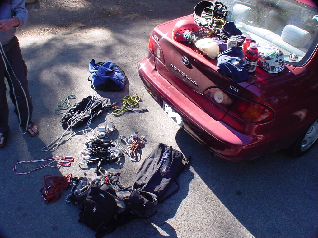
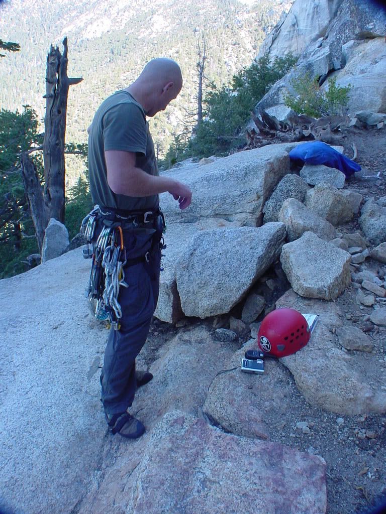
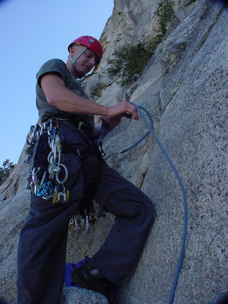
Organizing the gear/essentials
Heading up
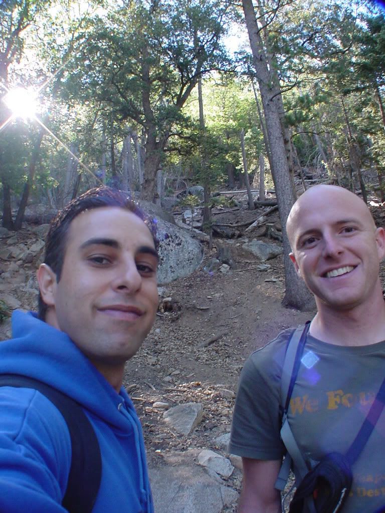
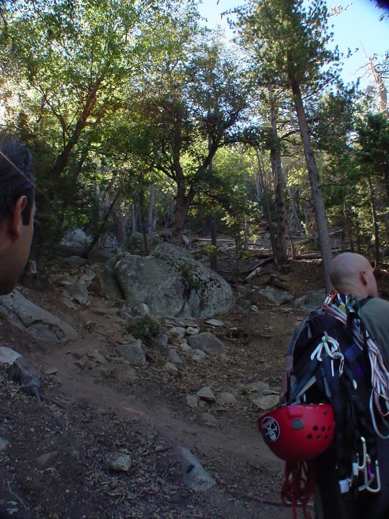
ahh ha!
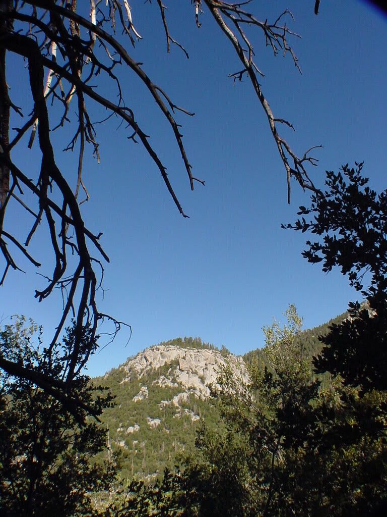
Hello kind sir!I see you have the new flextrex2020593205325 belly pack!
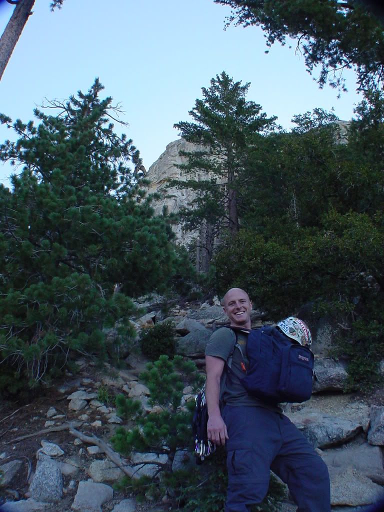
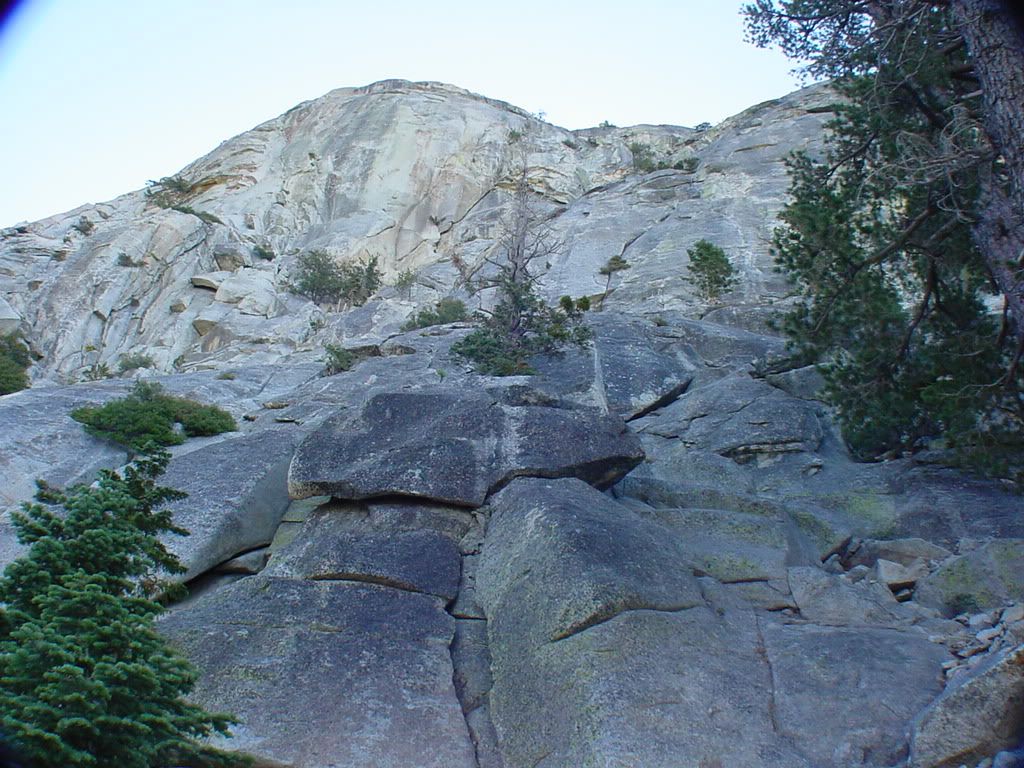
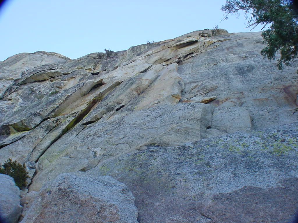
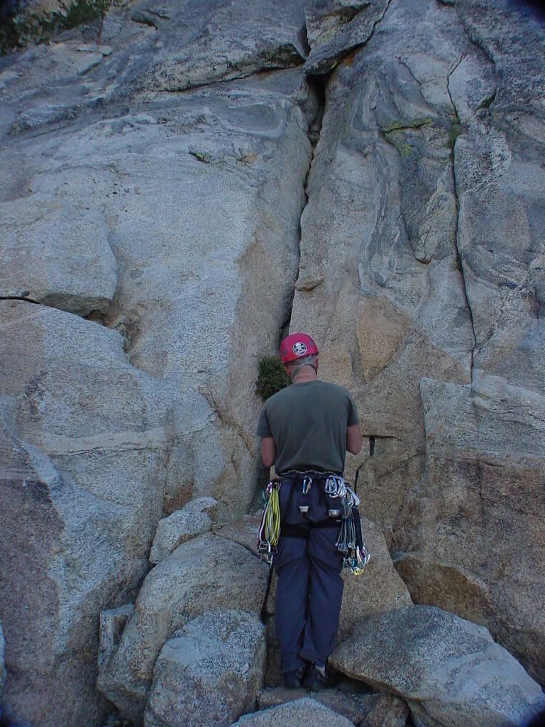
Lets do this =D
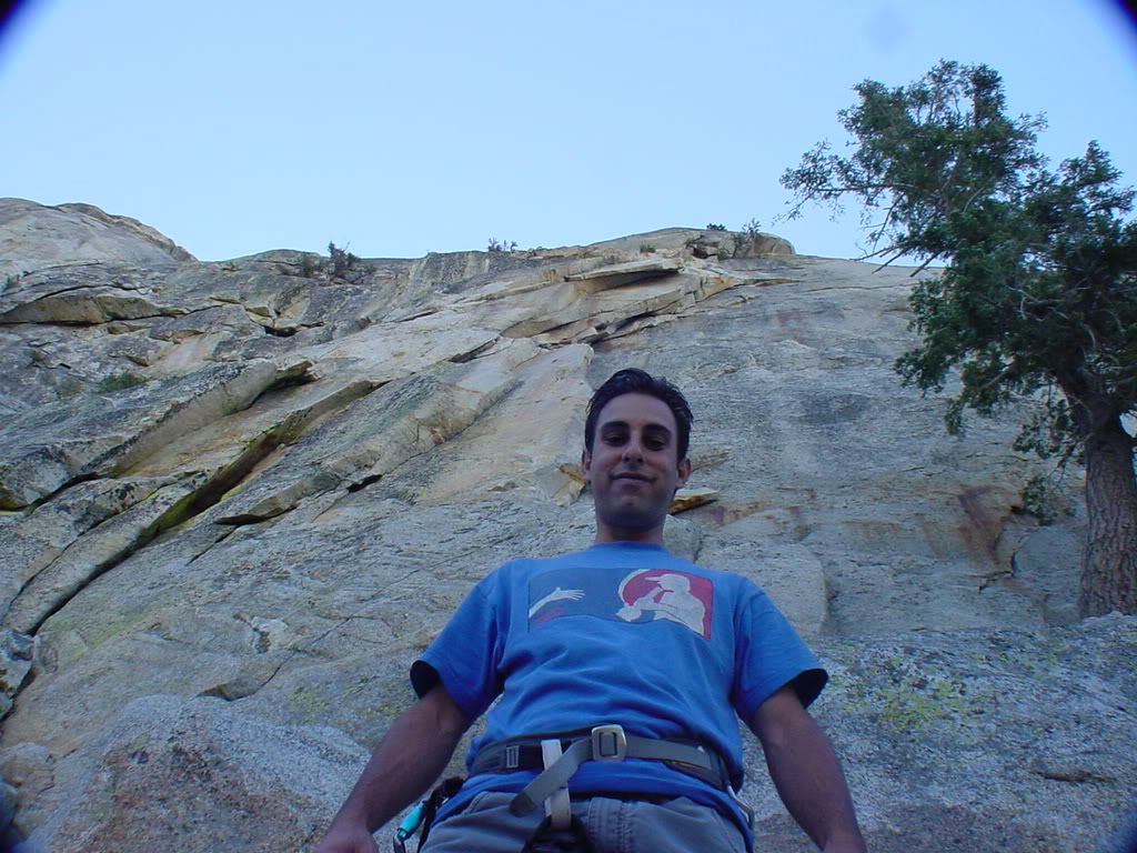
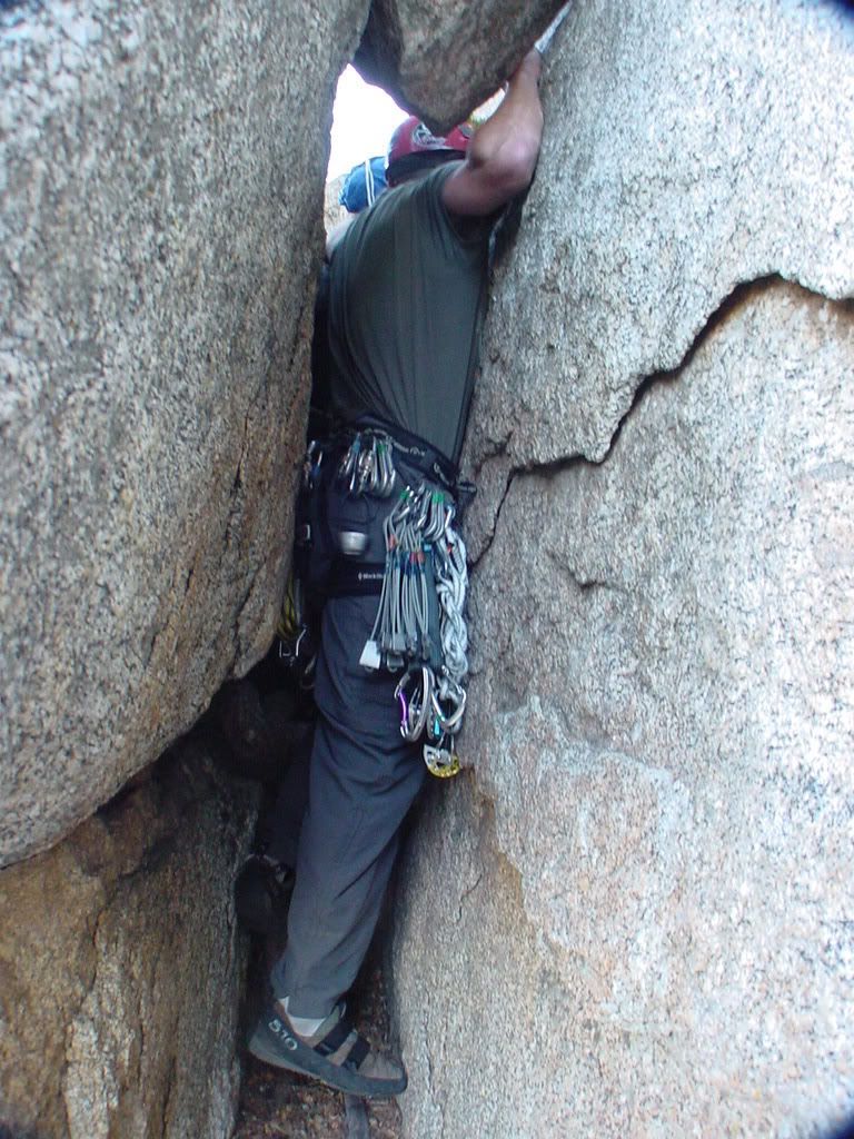
hmmm thats a bit tight dont you think
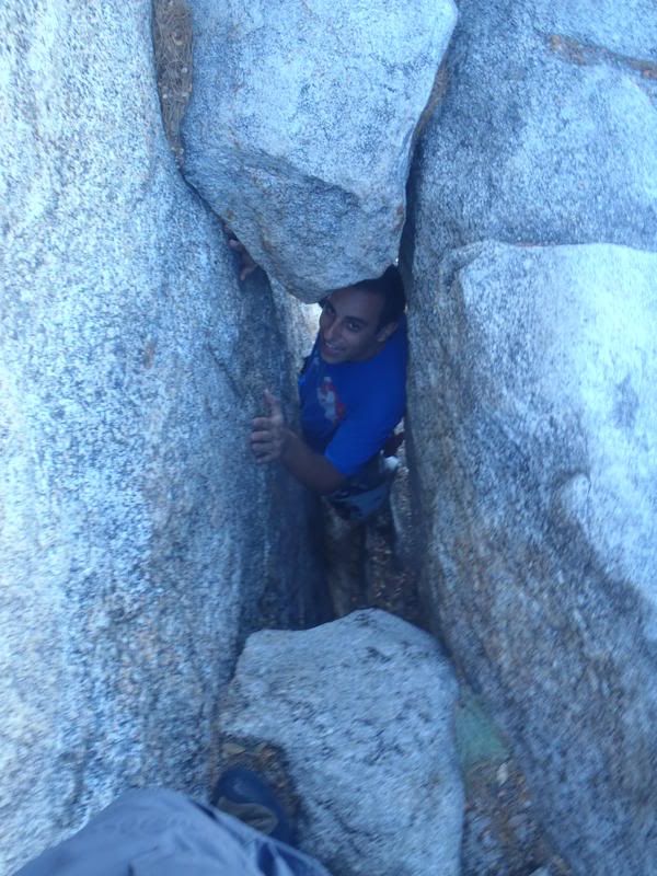
ughhh yes,yes it is
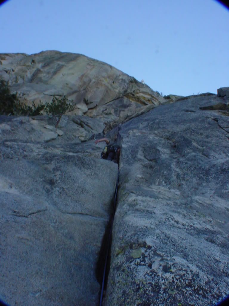
Bomberder!
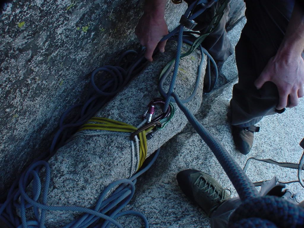
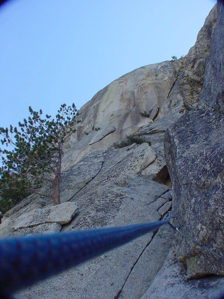
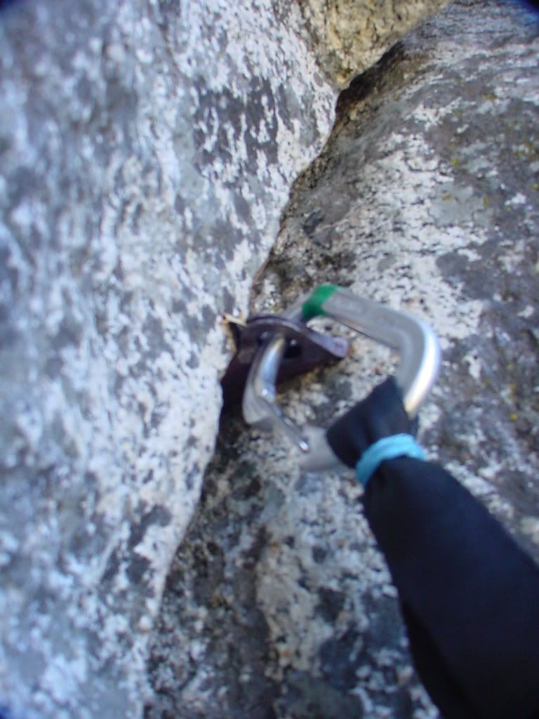
oldie piton
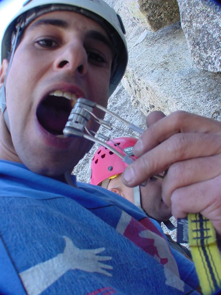
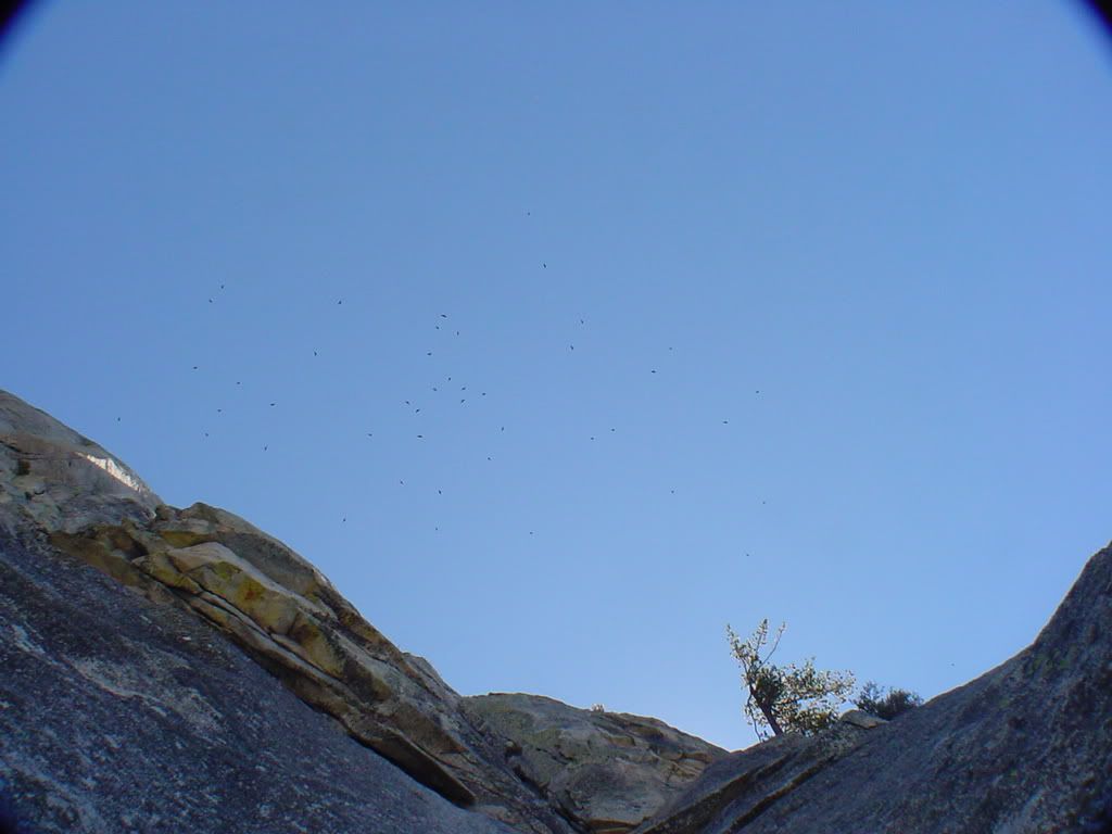
When BIRDS ATTACK!
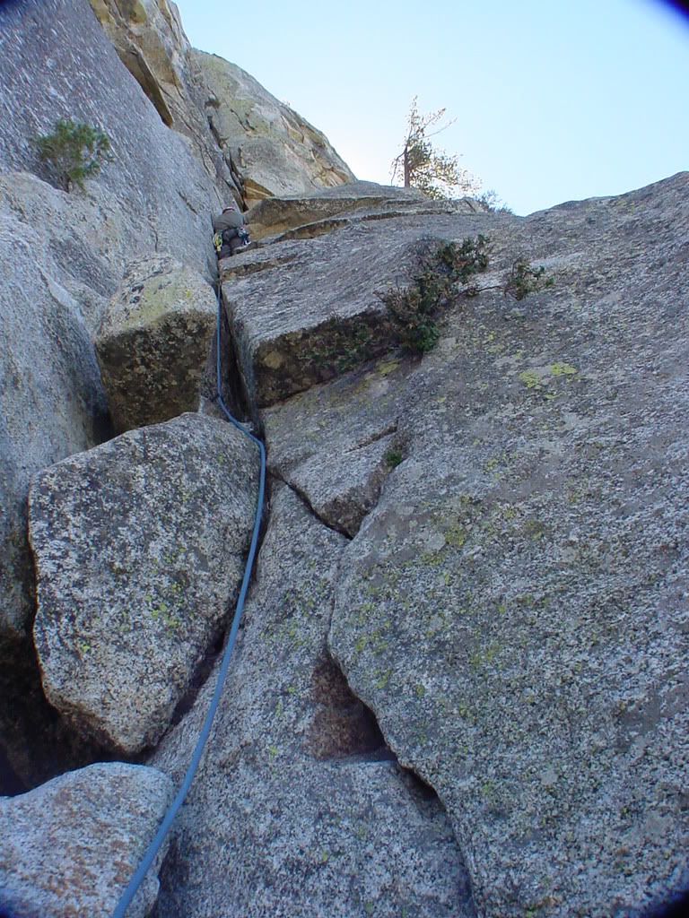
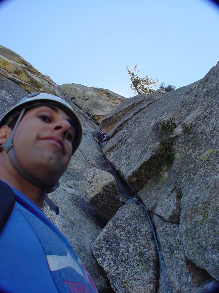
moving on up...
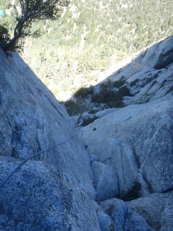
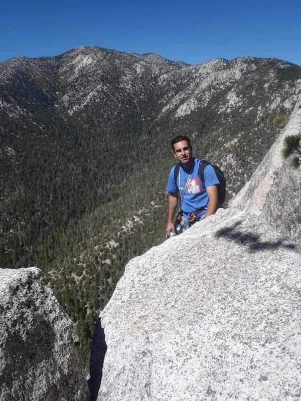
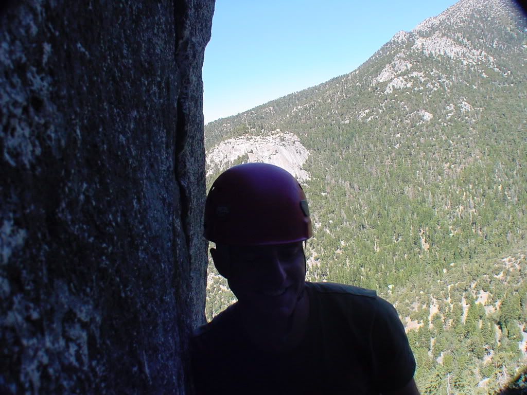
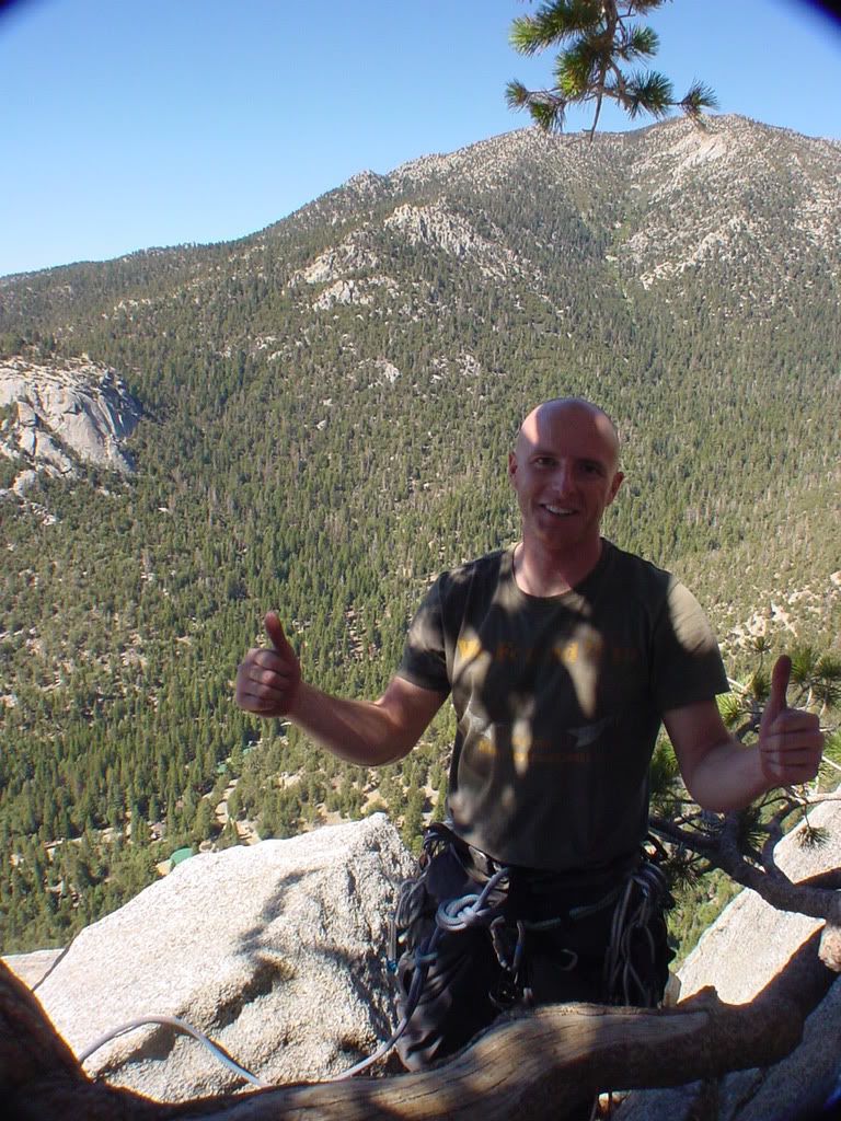
topping out,Suicide rock in the backround
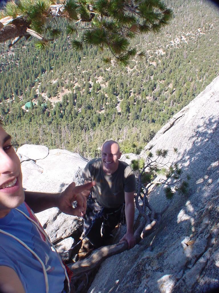
heading back down and home
trailhead Humber
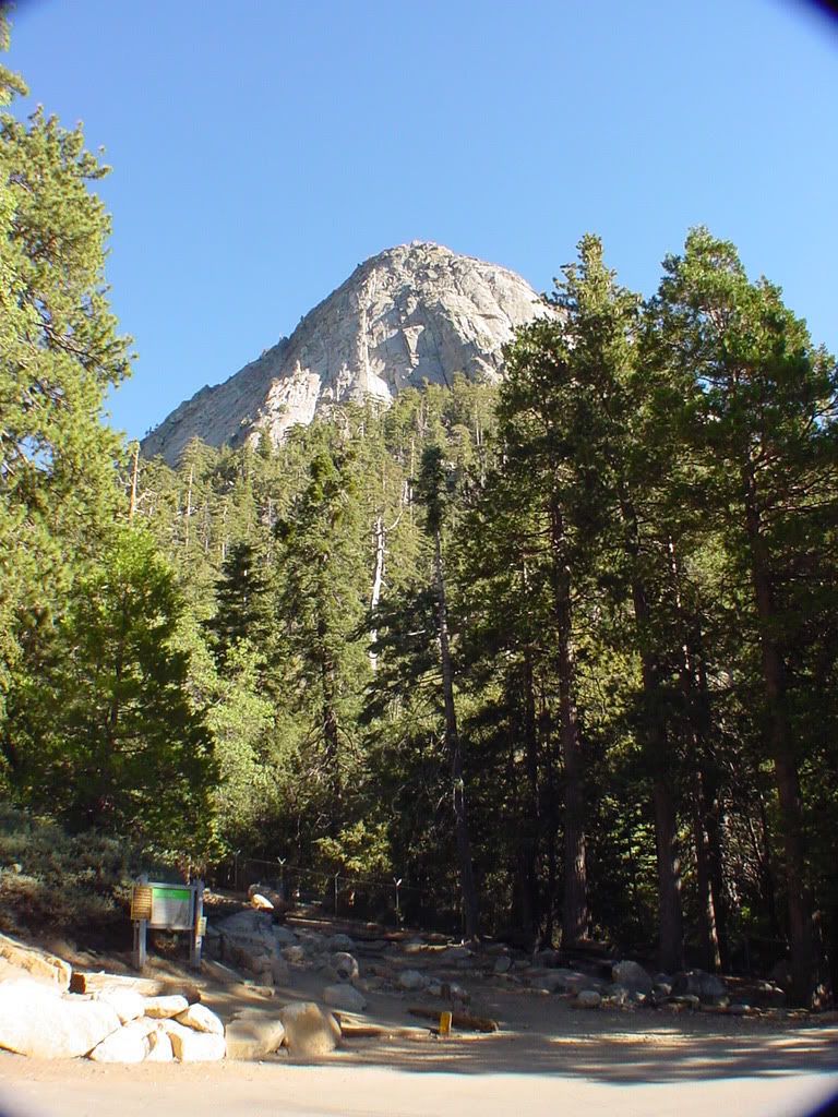
ski tracks,see ya next time =D
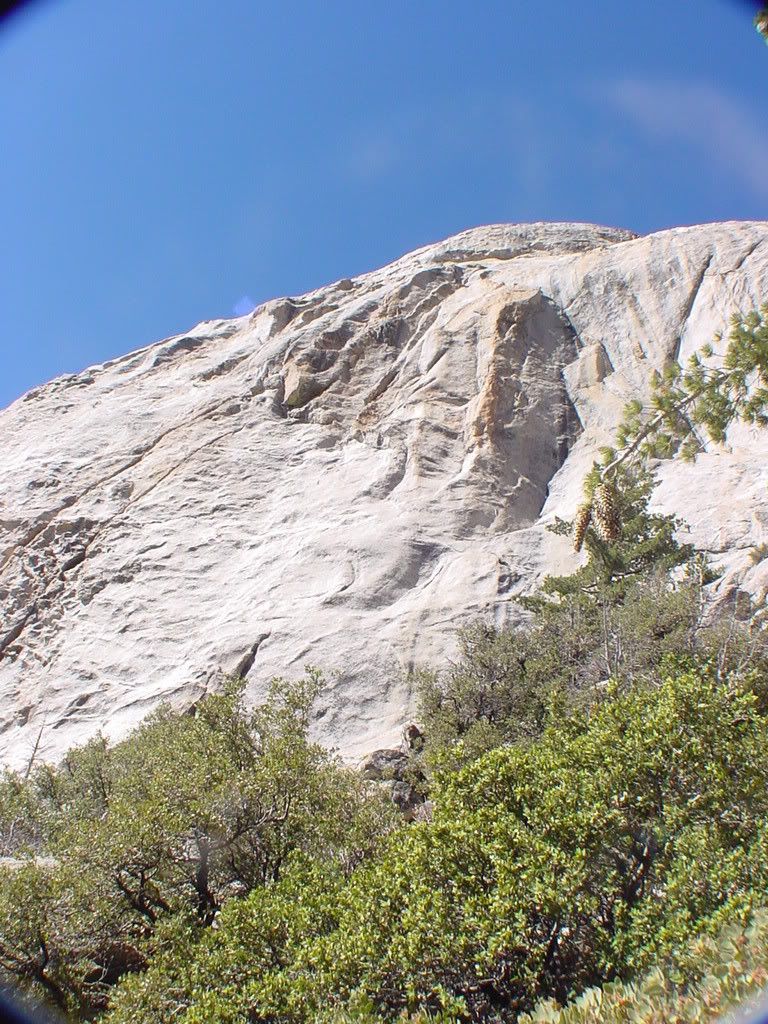
Enjoy life,smile =)
The approach is STEEP,just imagine high stepping 800 feet elevation gain in about 20 minutes haha needless to say it was a great warm up exercise =).Awesome climbing,very fun,Zach leads,I follow/clean(collect stuck cams from previous ascents
"wikipedia: Tahquitz, also called Lily Rock [8,000+ ft], is a granite rock formation (33°45′36″N 116°41′01″W / 33.76°N 116.68361°W / 33.76; -116.68361) located on the high western slope of the San Jacinto mountain range in Riverside County, Southern California, United States, above the mountain town of Idyllwild. Tahquitz has a steep approach hike (approximately 800-foot elevation gain in a half mile), leading to a roughly 1000-foot face. Tahquitz, which can refer to both the rock outcrop and the outcrop's parent peak, is a popular hiking destination and rock climbing area. The area was named after Chief Tahquitz of the Soboba Indian tribe, and first appeared in print on a 1901 USGS San Jacinto topographical map.[1] A second popular rock face, called Suicide Rock, lies across the valley."
Photo Disclaimer,Photobucket sucks and I tried rotating the pics before and after.Some of them will not post properly.Sorry for the few eye strainers,I cant be bothered about it anymore lol) =D
Organizing the gear/essentials

Heading up


ahh ha!

Hello kind sir!I see you have the new flextrex2020593205325 belly pack!


Lets do this =D


hmmm thats a bit tight dont you think

ughhh yes,yes it is


Bomberder!


oldie piton


When BIRDS ATTACK!

moving on up...


topping out,Suicide rock in the backround


heading back down and home
trailhead Humber

ski tracks,see ya next time =D

Enjoy life,smile =)