San Gorgonio Wilderness traverse, 3-6 Sep 2010
Posted: Fri Sep 10, 2010 11:03 am
After thinking about it for literally decades, I finally executed a multi-day traverse of the San Gorgonio Wilderness via the San Bernardino Divide Trail. Basically, I took four days to make the hike Elwood made the week before. Frank and Ingrid came with me.
The route started at Angelus Oaks and basically followed the San Bernardino Divide east to the summit of Mt San Gorgonio (11,503 feet), where we spent the third and last night. We exited via the Vivian Creek Trail.
Total distance: 26 miles.
Elevation gain: 5,539 feet in three days

Day 1: (5.7 miles; 3,400' elevation gain). On the first day we climbed up to Limber Pine Bench trail camp, which is my favorite trail camp in the San Gorgonio Wilderness. There aren't many photos of this part of the hike as I have already documented it in the following Flickr sets:
Limber Pine Bench overnight, 10-11 May 2008
San Bernardino Peak overnight, 6-7 Jun 2009
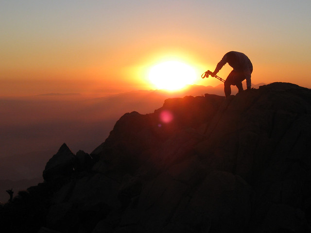
We did enjoy a fantastic sunset.
Day 2: (8.2 miles; 960' net elevation gain). After climbing to the top of San Bernardino Peak (10,649 feet), we hiked along the San Bernardino Divide Trail to High Meadow Springs trail camp, nearly losing our way at one point when I inadvertently led us for a short distance down the unmaintained trace trail from San Bernardino East Peak down to Forest Falls.
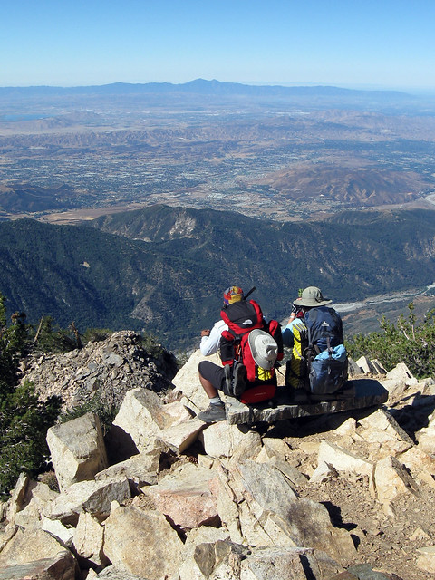
Day 3: (4.4 miles; 1,179 elevation gain). This was a relatively short climb up to the summit of Mt San Gorgonio, made challenging by all the water we were carrying. The wind blew furiously all day and all night.
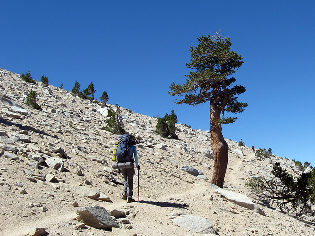
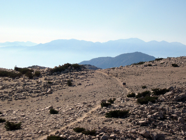
Day 4: (8 miles; 5,419 elevation loss). This was a fairly grueling hike down the Vivian Creek trail to Forest Falls.
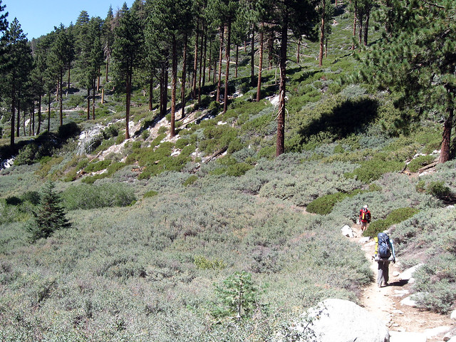
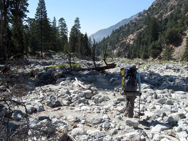
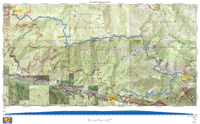
Here is a slide show of the entire hike.
When you spend enough time up there, you realize the San Gorgonio Wilderness, despite it's proximity to Greater LA, can be as wild and beautiful as any mountain in the Sierra Nevada, and it requires a lot less driving, too.
The route started at Angelus Oaks and basically followed the San Bernardino Divide east to the summit of Mt San Gorgonio (11,503 feet), where we spent the third and last night. We exited via the Vivian Creek Trail.
Total distance: 26 miles.
Elevation gain: 5,539 feet in three days

Day 1: (5.7 miles; 3,400' elevation gain). On the first day we climbed up to Limber Pine Bench trail camp, which is my favorite trail camp in the San Gorgonio Wilderness. There aren't many photos of this part of the hike as I have already documented it in the following Flickr sets:
Limber Pine Bench overnight, 10-11 May 2008
San Bernardino Peak overnight, 6-7 Jun 2009
We did enjoy a fantastic sunset.

Day 2: (8.2 miles; 960' net elevation gain). After climbing to the top of San Bernardino Peak (10,649 feet), we hiked along the San Bernardino Divide Trail to High Meadow Springs trail camp, nearly losing our way at one point when I inadvertently led us for a short distance down the unmaintained trace trail from San Bernardino East Peak down to Forest Falls.

Day 3: (4.4 miles; 1,179 elevation gain). This was a relatively short climb up to the summit of Mt San Gorgonio, made challenging by all the water we were carrying. The wind blew furiously all day and all night.


Day 4: (8 miles; 5,419 elevation loss). This was a fairly grueling hike down the Vivian Creek trail to Forest Falls.


Here is a slide show of the entire hike.
When you spend enough time up there, you realize the San Gorgonio Wilderness, despite it's proximity to Greater LA, can be as wild and beautiful as any mountain in the Sierra Nevada, and it requires a lot less driving, too.