San Bernardino Divide Trail - 8.95 Peaks
Posted: Mon Aug 30, 2010 1:52 pm
At 0545 Sunday morning, Turtle and I headed up from the Angelus Oaks trailhead after having dropped a car at Vivian Creek. We reached the shuttle car around 1822, twelve hours and thirty-seven minutes later. While I knew we would be attempting to hike through to San Gorgonio Mountain, I was unsure that we would be attempting the 9 peaks. A short ways up 1W07 we started leapfrogging Hvydrt and Jeremy. Hvydrt joined Turtle and me for the 25-mile, 9-peak extravaganza. I was dragging enough to have turned on towards Little Charlton, bypassing its big brother's summit by around 100 horizontal feet. It was cool and windy for most of the day.
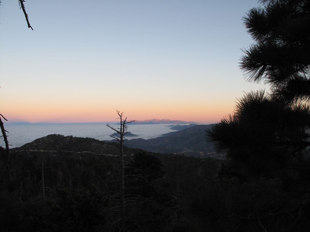
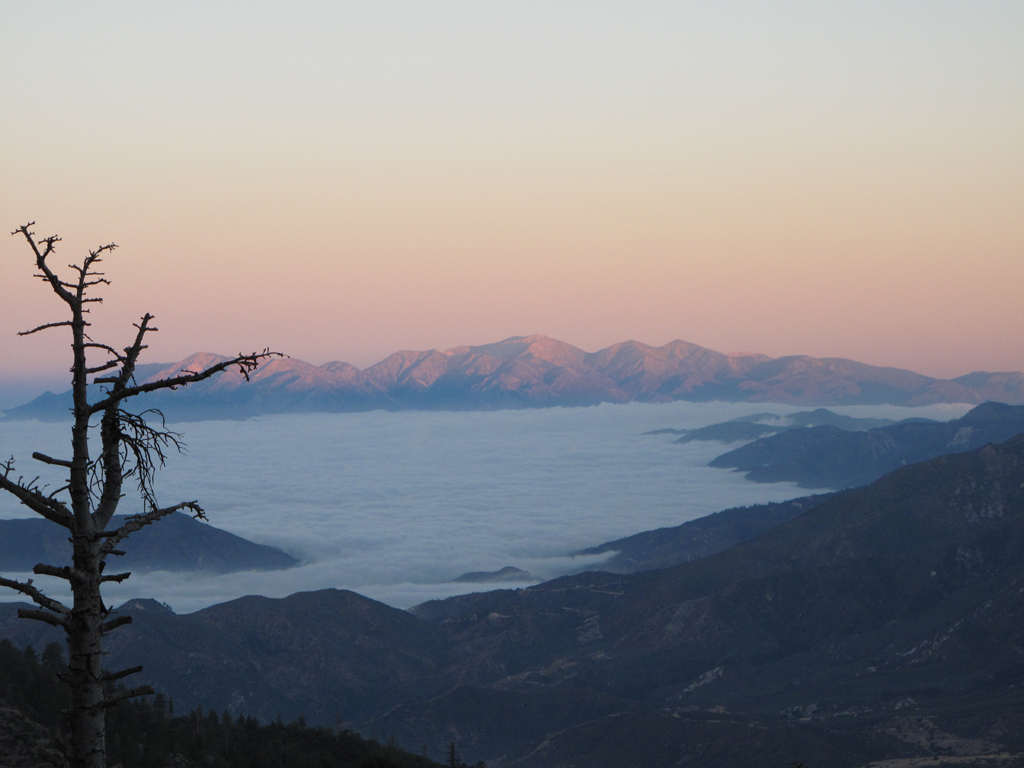
Looking west towards the San Gabriel Mountains.
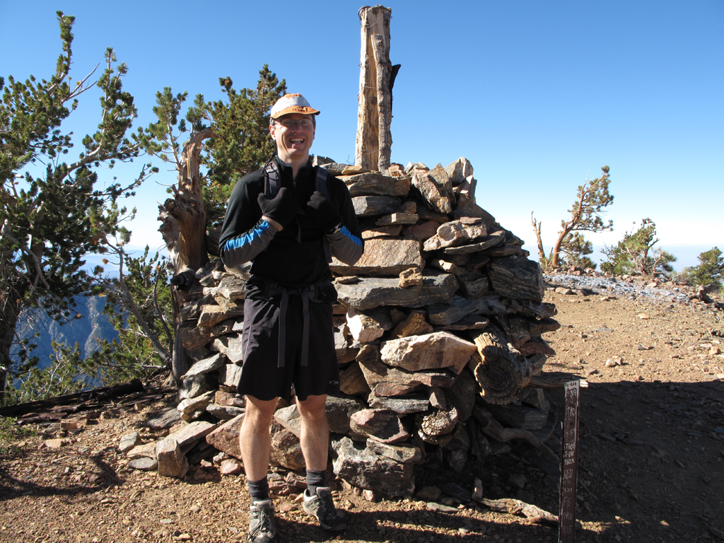
Colonel Washington's surveyors' monument (and Turtle).
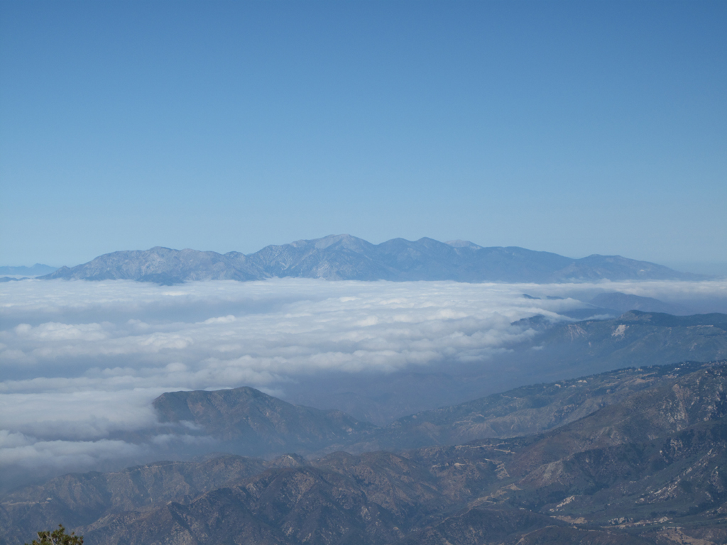
Morning clouds begin to dissipate.
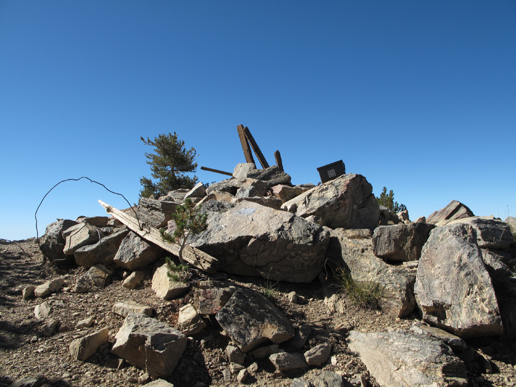
San Bernardino Peak summit.
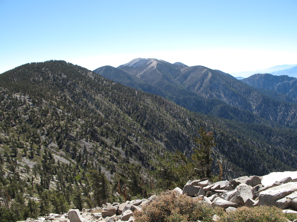
Looking towards San Gorgonio Mountain and its neighbors.
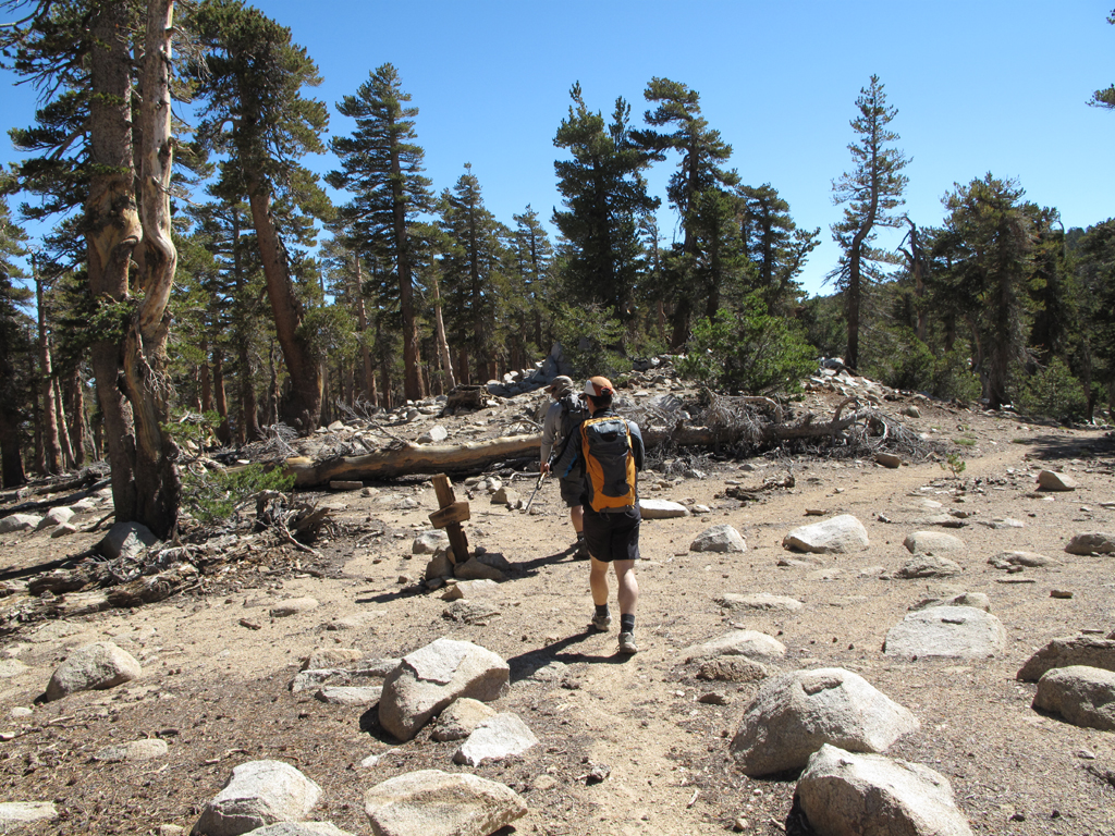
Hvydrt and Turtle passing Forsee Trail marker.
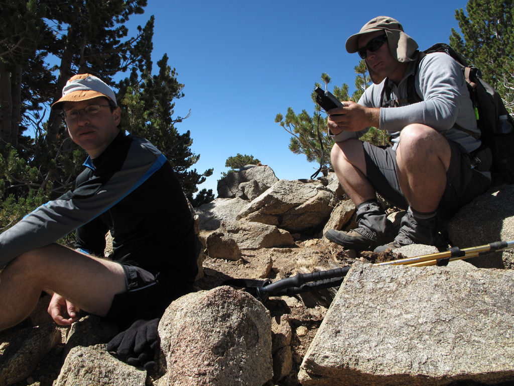
Turtle and Hvydrt atop Anderson Peak.
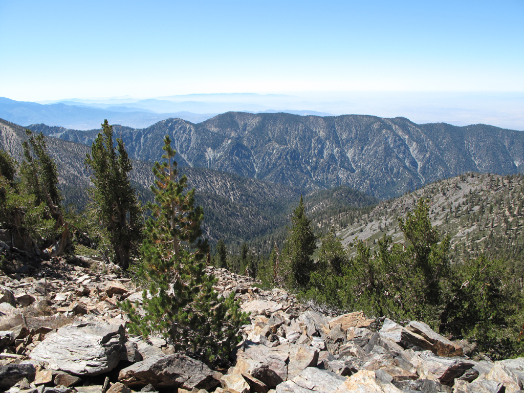
Tempting Yucaipa Ridge.
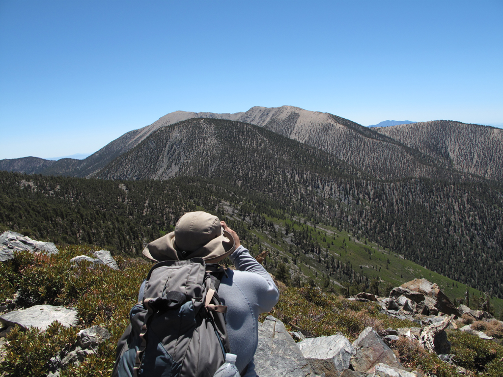
Hvydrt taking pictures to the east.
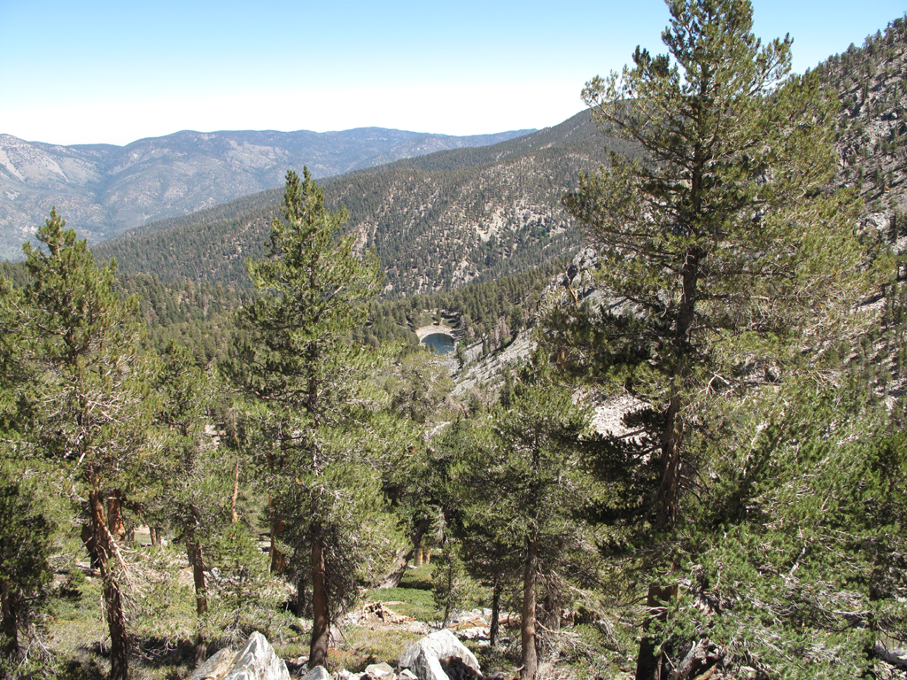
Dollar lake from 1W07.2 .
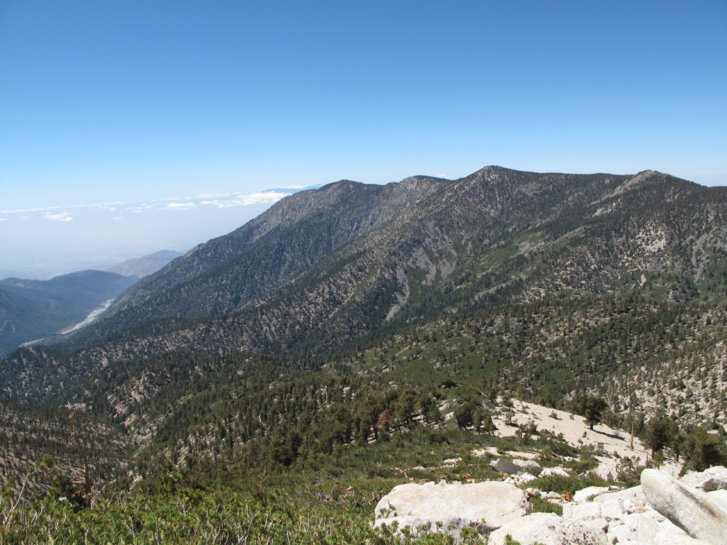
Western cluster of the 9 peaks.
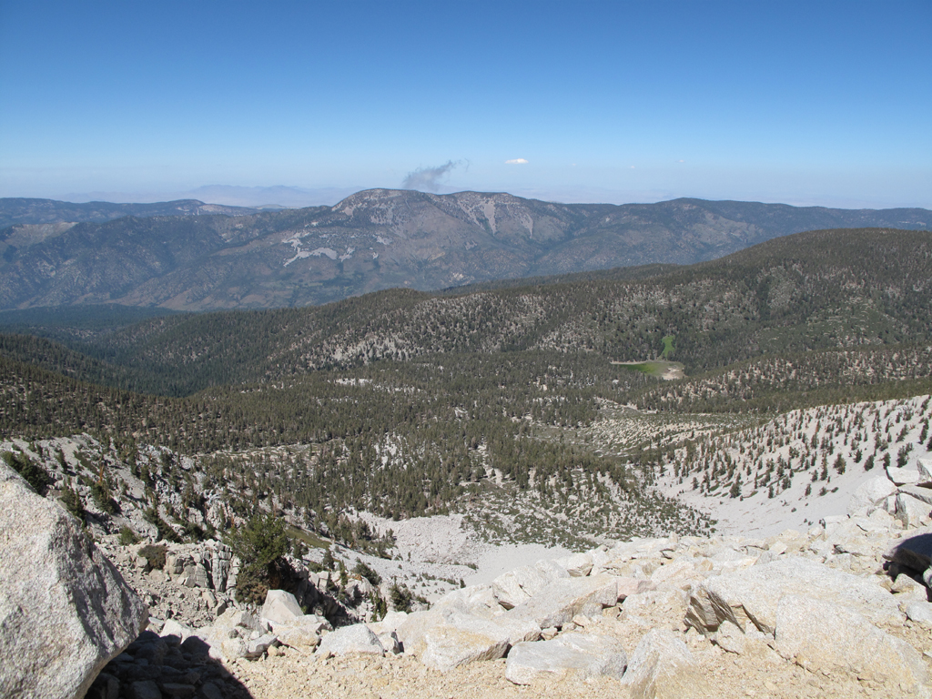
Dry Lake and environs, seen from Little Charlton Peak.
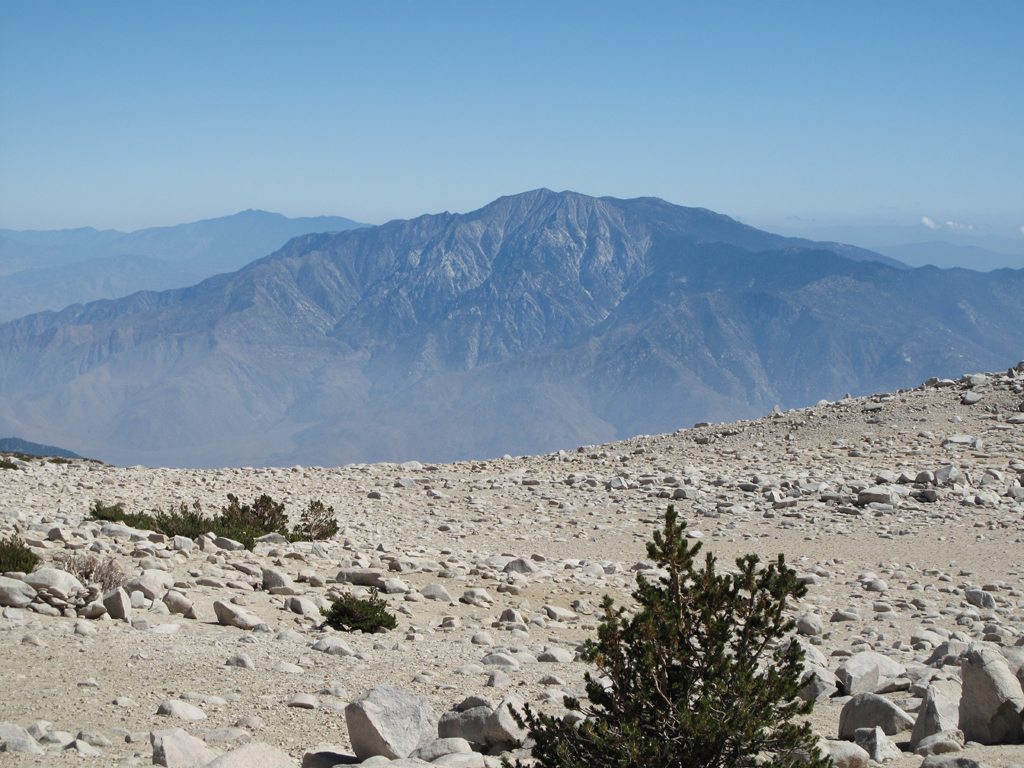
San Jacinto Peak, seen from Jepson / Gorgonio.
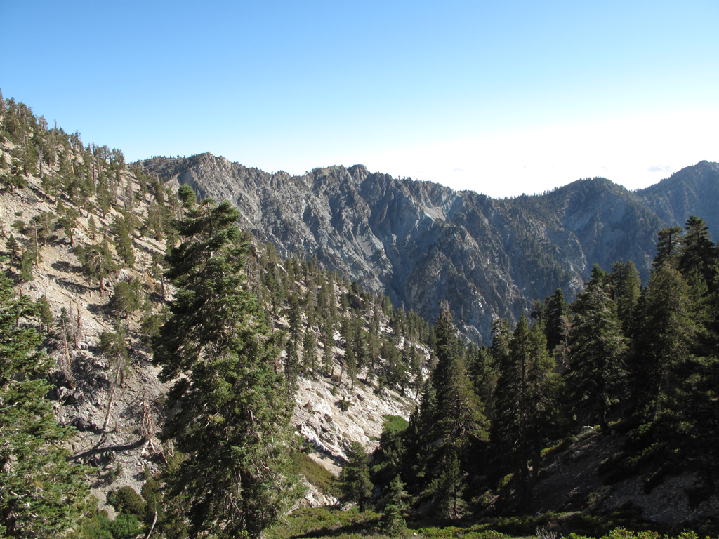
View from High Creek towards Galena.
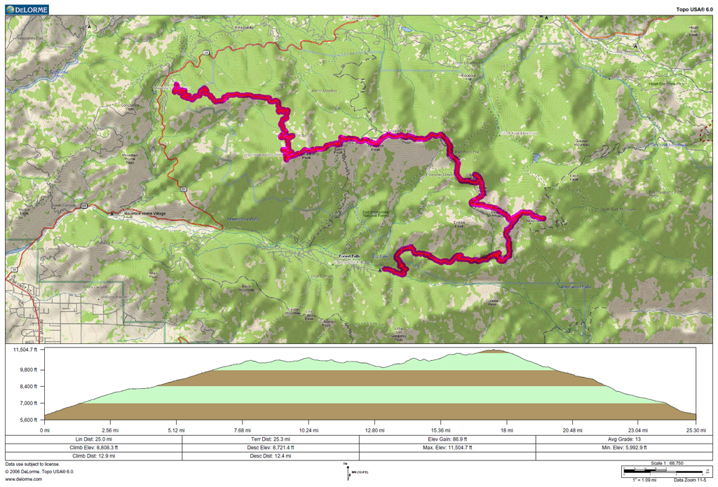
GPS track and elevation plots.

Looking west towards the San Gabriel Mountains.

Colonel Washington's surveyors' monument (and Turtle).

Morning clouds begin to dissipate.

San Bernardino Peak summit.

Looking towards San Gorgonio Mountain and its neighbors.

Hvydrt and Turtle passing Forsee Trail marker.

Turtle and Hvydrt atop Anderson Peak.

Tempting Yucaipa Ridge.

Hvydrt taking pictures to the east.

Dollar lake from 1W07.2 .

Western cluster of the 9 peaks.

Dry Lake and environs, seen from Little Charlton Peak.

San Jacinto Peak, seen from Jepson / Gorgonio.

View from High Creek towards Galena.

GPS track and elevation plots.
