Icehouse - Cucamonga - Bighorn - Chapman
Posted: Mon Aug 23, 2010 8:59 am
Sunday was a beautiful day in and around the Cucamonga Wilderness...
I hit the Icehouse Canyon trail early Sunday morning. One gentleman passed me just below the Saddle, and a young lady was trailing through to the summit. I crossed a quiet Icehouse Saddle around 0806. After gawking at a bunch of nearby Bighorn Sheep, I summited Cucamonga at 0924. Descending, I was spying the ridge that runs up Bighorn from the 7654 saddle. There turns out to be a terrific game trail up the otherwise steep ridge. I was careful to tread lightly in this wilderness area. The Bighorn Peak summit was vacant at 1125, though the register indicated some earlier visitors. I followed the trail down through Kelly's Camp, back to Icehouse Saddle. As is my usual M.O. I took the Chapman Trail back in order to avoid the throngs on the canyon floor. As an aside; I go out of my way to yield trail to other hikers. That crowd in the last mile of trail between the Chapman cutoff and the parking area showed no such courtesy.
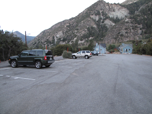
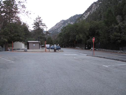
Empty Icehouse parking area, around 0615.
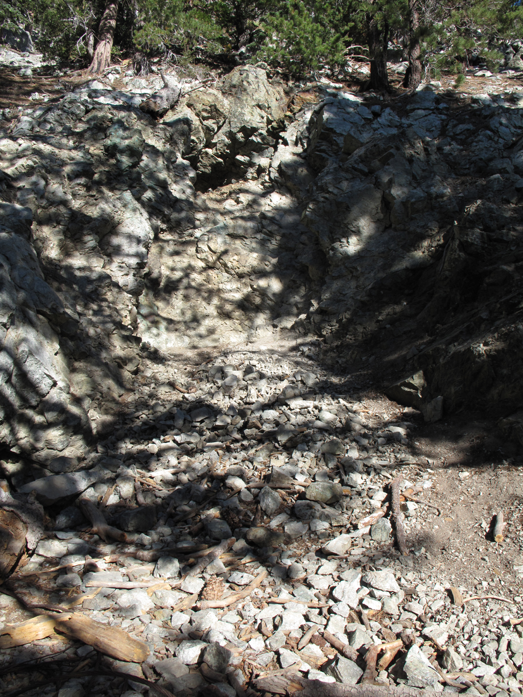
Anyone know what this mine-like thingy is on the Cucamonga Peak trail? It appears to have two entrances, with a pile of wire rope outside.
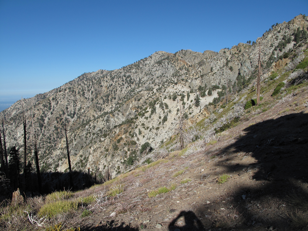
Ontario Peak as it wraps around Cucamonga Canyon.
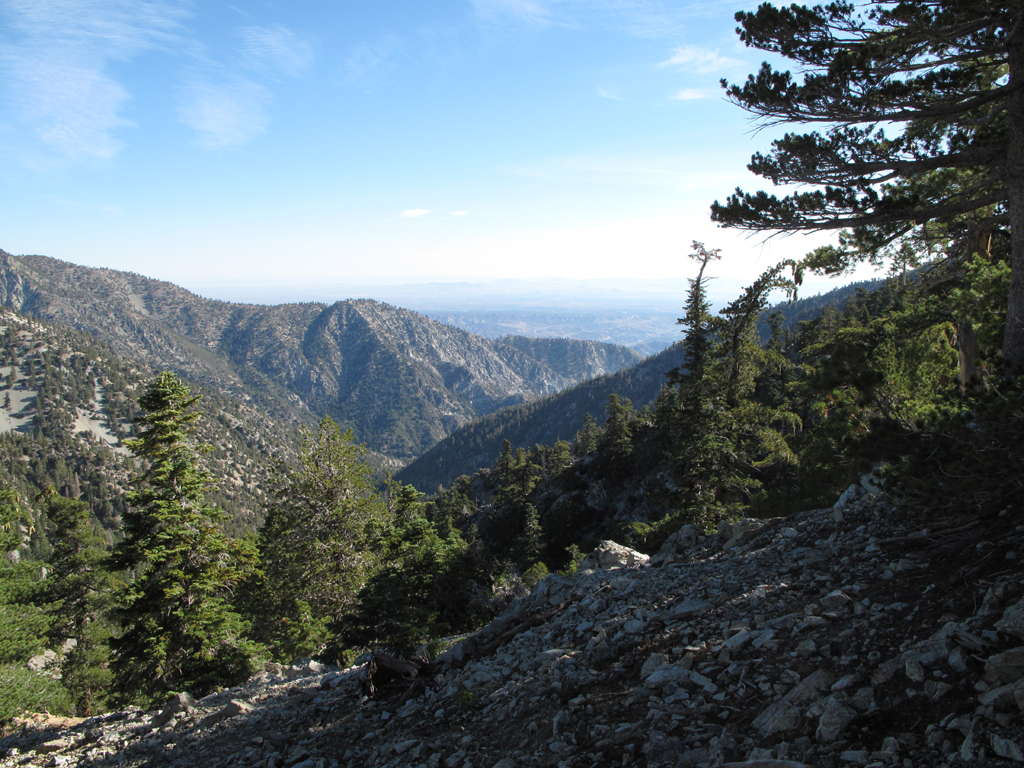
Looking towards Lytle Creek's middle fork from the Bighorn-Cucamonga saddle.
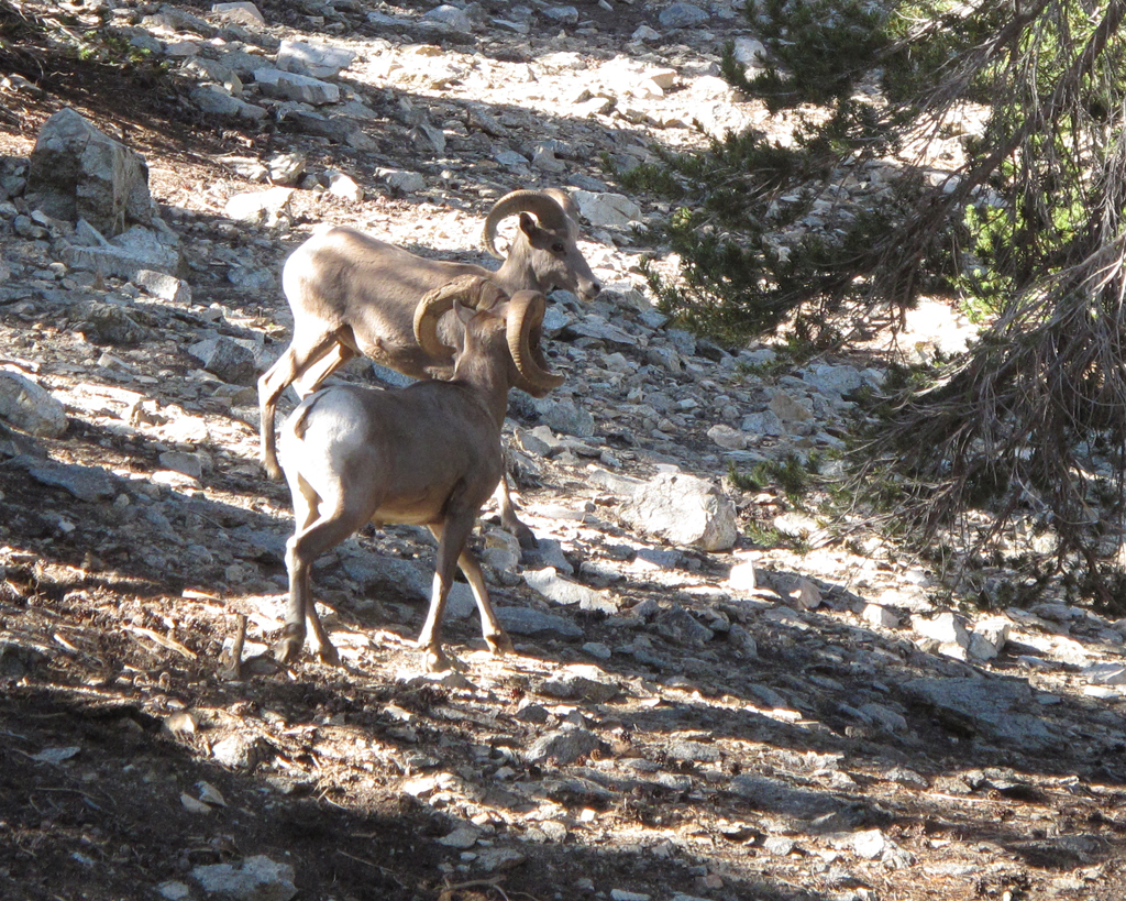
There were six to eight of these Ovis canadensis nelsoni hanging out around Cucamonga's summit trail. They scattered as I approached
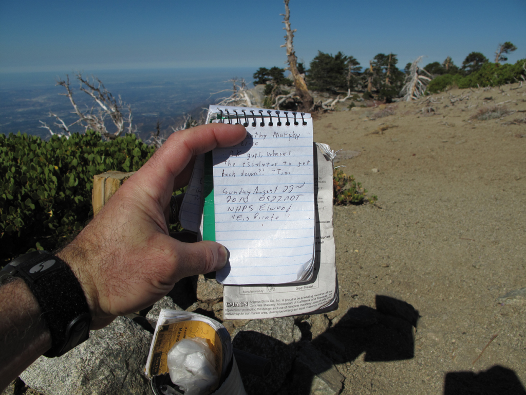
Register on Cucamonga Peak.
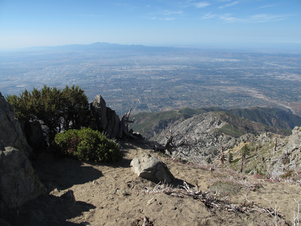
Views were amazing yesterday. Channel Islands were easily visible (in other pictures).
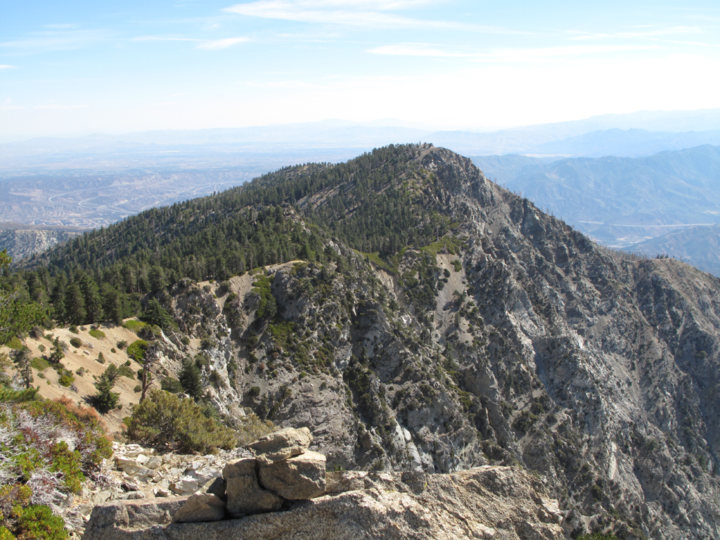
Cucamonga Peak's massif-mate.
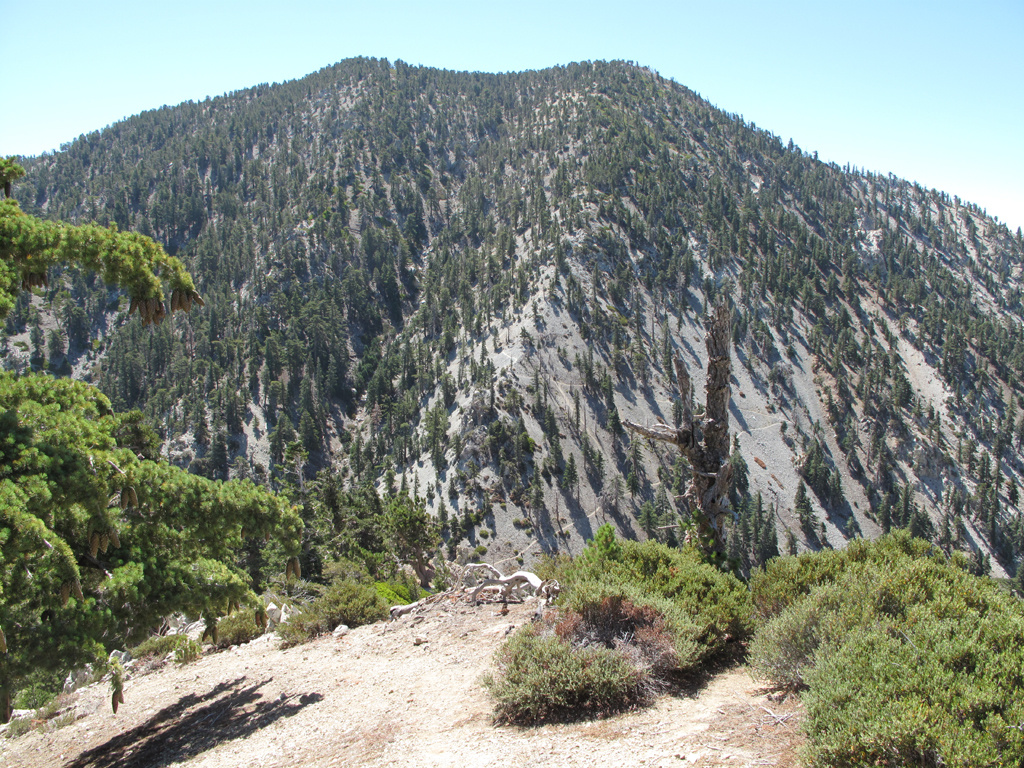
The switchbacks of 7W04.4 are plainly visible from Bighorn's southeast ridge.
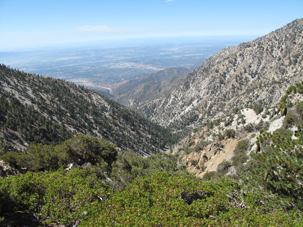
Cucamonga Canyon, Isla Santa Catalina, and everything in between.
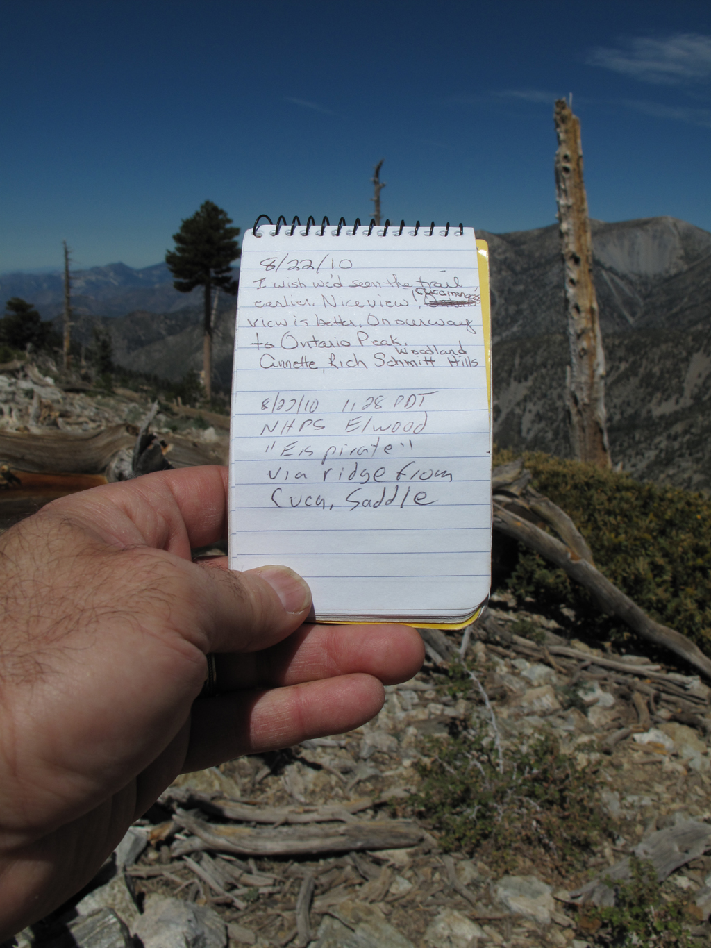
Register on Bighorn, with San Antonio in the background.
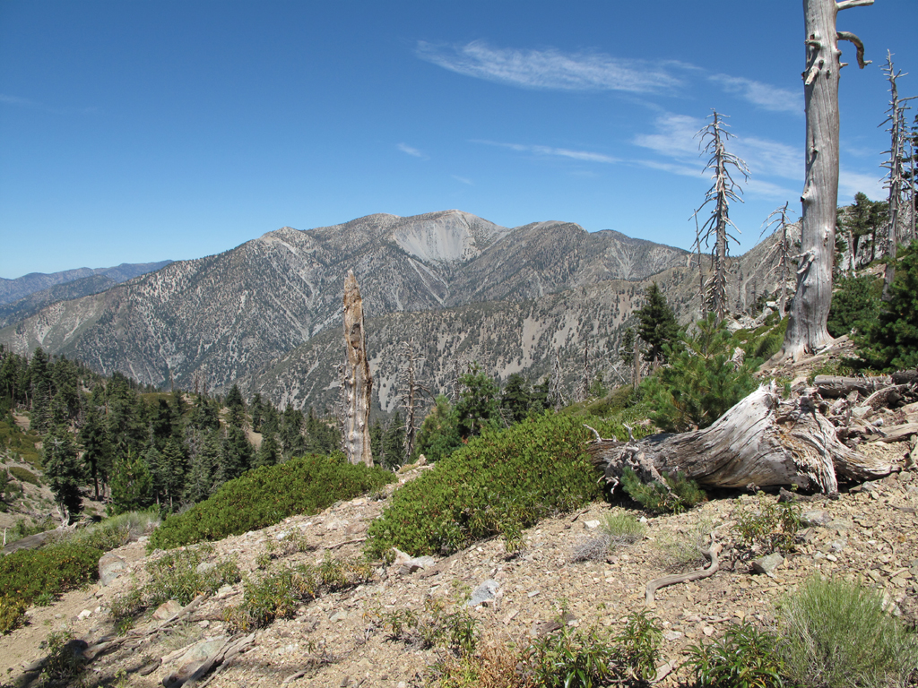
Mount San Antonio from Bighorn - Ontario ridge

My Jeep and I graciously thank Mr. Simonov, et al. for the stickers on Bighorn.
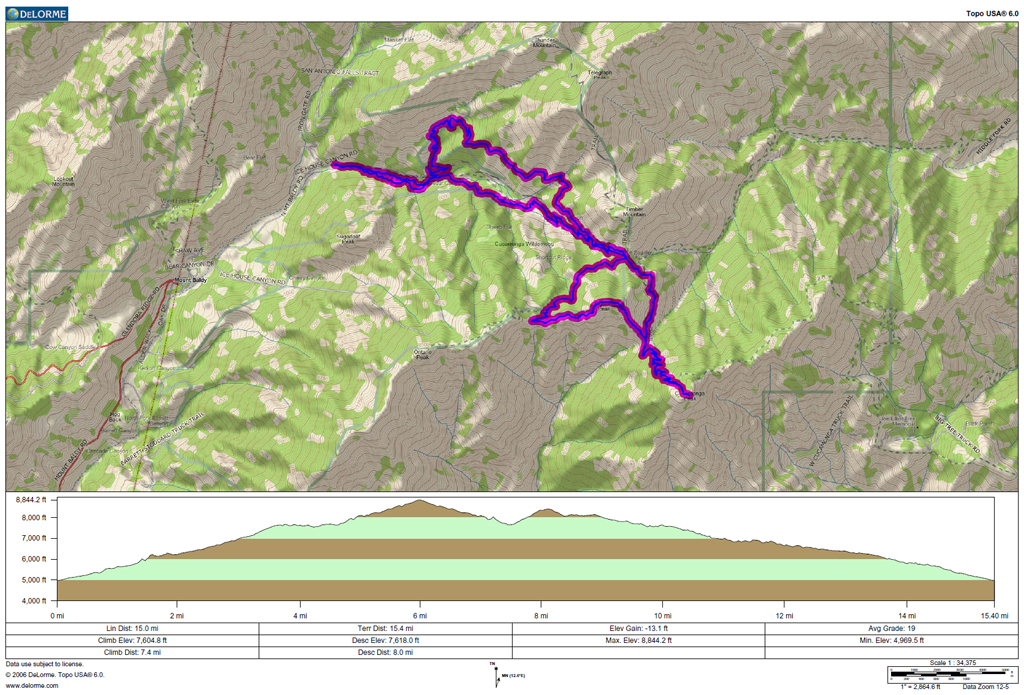
GPS track and elevation plots.
I hit the Icehouse Canyon trail early Sunday morning. One gentleman passed me just below the Saddle, and a young lady was trailing through to the summit. I crossed a quiet Icehouse Saddle around 0806. After gawking at a bunch of nearby Bighorn Sheep, I summited Cucamonga at 0924. Descending, I was spying the ridge that runs up Bighorn from the 7654 saddle. There turns out to be a terrific game trail up the otherwise steep ridge. I was careful to tread lightly in this wilderness area. The Bighorn Peak summit was vacant at 1125, though the register indicated some earlier visitors. I followed the trail down through Kelly's Camp, back to Icehouse Saddle. As is my usual M.O. I took the Chapman Trail back in order to avoid the throngs on the canyon floor. As an aside; I go out of my way to yield trail to other hikers. That crowd in the last mile of trail between the Chapman cutoff and the parking area showed no such courtesy.


Empty Icehouse parking area, around 0615.

Anyone know what this mine-like thingy is on the Cucamonga Peak trail? It appears to have two entrances, with a pile of wire rope outside.

Ontario Peak as it wraps around Cucamonga Canyon.

Looking towards Lytle Creek's middle fork from the Bighorn-Cucamonga saddle.

There were six to eight of these Ovis canadensis nelsoni hanging out around Cucamonga's summit trail. They scattered as I approached

Register on Cucamonga Peak.

Views were amazing yesterday. Channel Islands were easily visible (in other pictures).

Cucamonga Peak's massif-mate.

The switchbacks of 7W04.4 are plainly visible from Bighorn's southeast ridge.

Cucamonga Canyon, Isla Santa Catalina, and everything in between.

Register on Bighorn, with San Antonio in the background.

Mount San Antonio from Bighorn - Ontario ridge

My Jeep and I graciously thank Mr. Simonov, et al. for the stickers on Bighorn.

GPS track and elevation plots.