Tahquitz Pk, Fire Lookout, Suicide Rock Loop via South Ridge
Posted: Fri Aug 20, 2010 11:43 am
07/31/10 Late Report
Tahquitz Pk, Fire Lookout, Suicide Rocks Loop via South Ridge
17+ miles, approx 10 hrs
After my first "test" hike in the Baldy area after my achillies tear, I decided to try something a little longer and a little faster. At the same time, I figure this will be the start of a new cardio training regimen.
I wanted something a little different, something with a lot more elevation gain/loss and a place with less crowds and definitly more scenic than IHC or Baldy. I chose the backside of San Jacinto, near Humber Park.
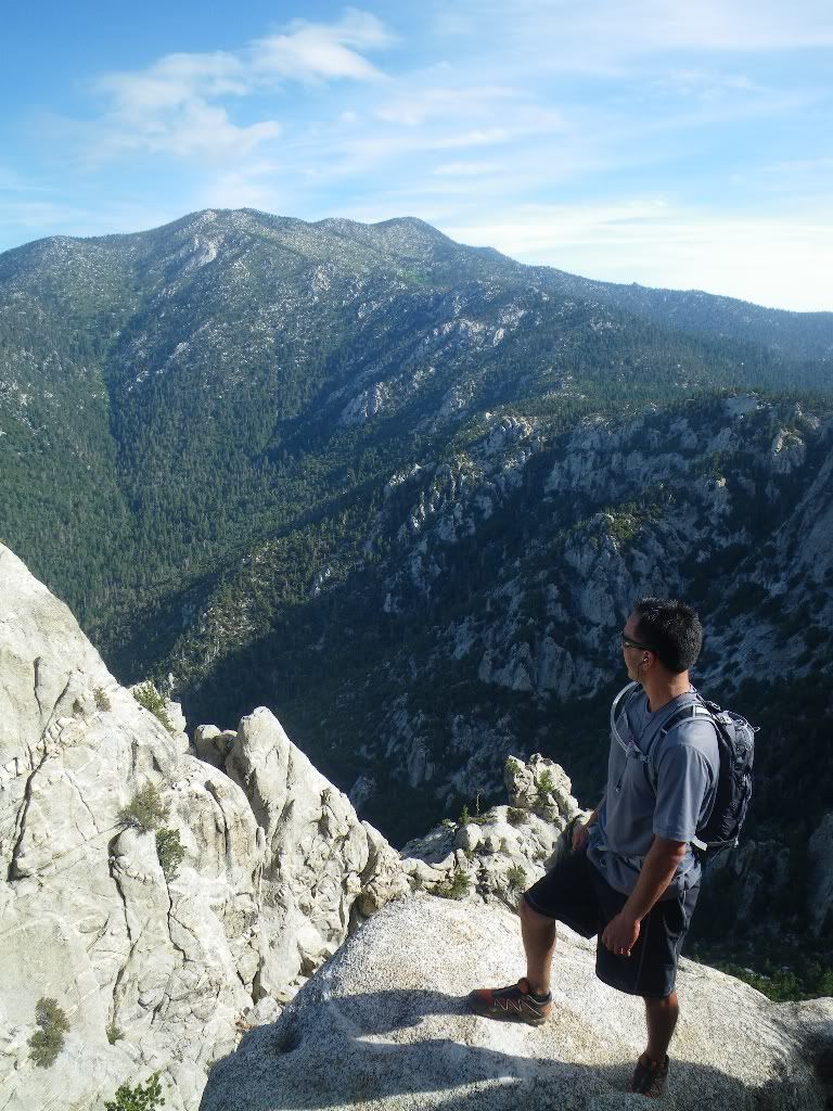
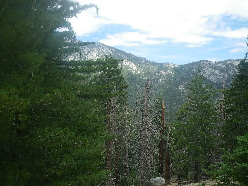
Our route would take me up the "no nonsense" South Ridge Trail, to the Fire Lookout atop Tahquitz Peak. Beautiful views the entire way and side excursion to top of Lily Rock left me craving for a "rock route" sometime soon.
After leaving Tahquitz Peak, we continued the ridgeline to Saddle Junction, Wellman Divide, back through Wellman Cienega, Strawberry Cienega, Suicide Rocks, Humber Park and back to South Ridge.
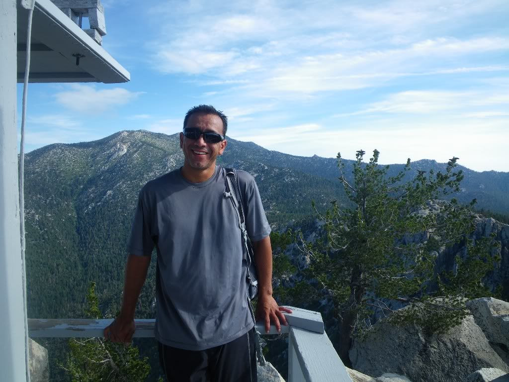
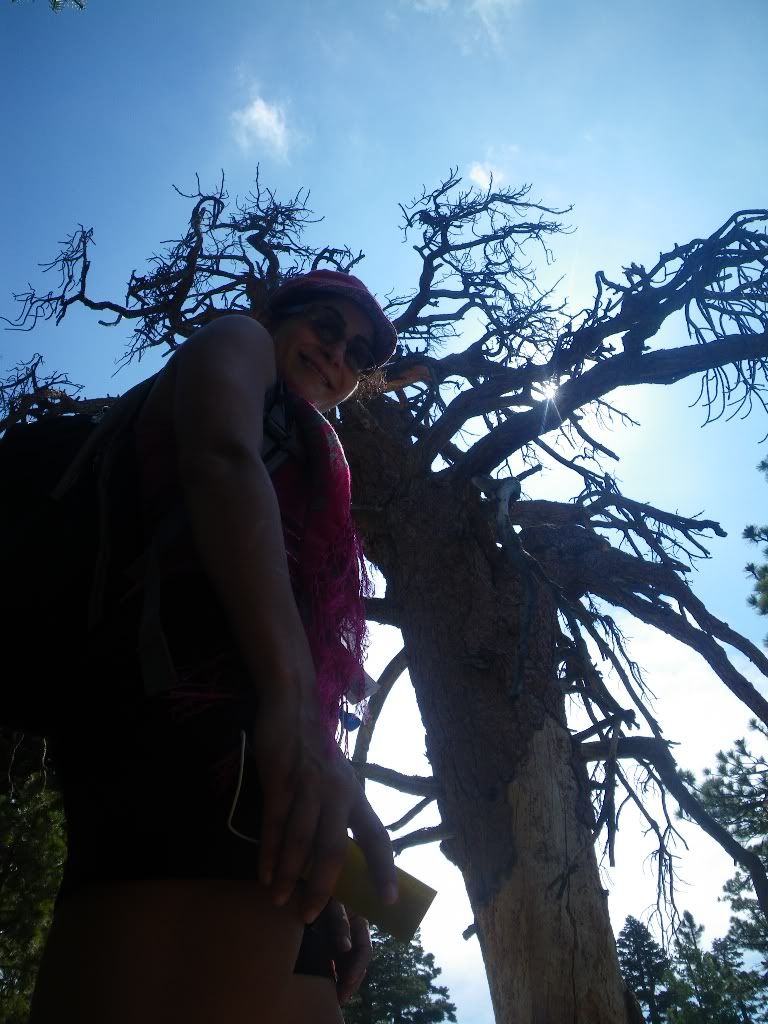
Was a nice hike. I'll let the pictures tell the rest of the story:
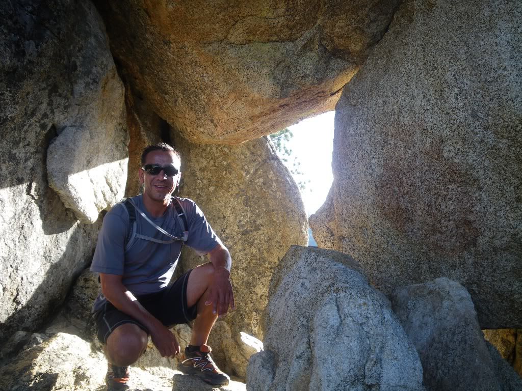
Worm hole to the East:
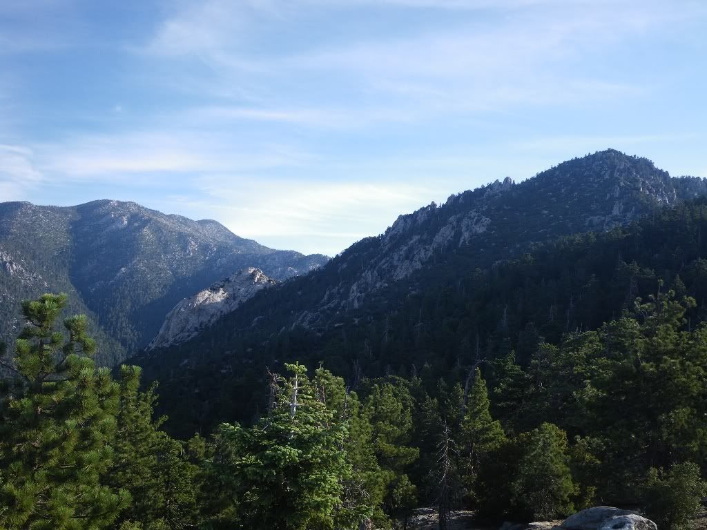
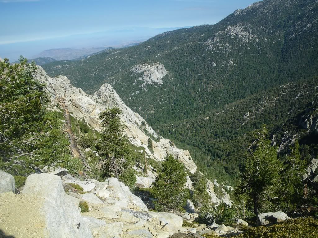
Our route will follow top of ridgeline from right to left
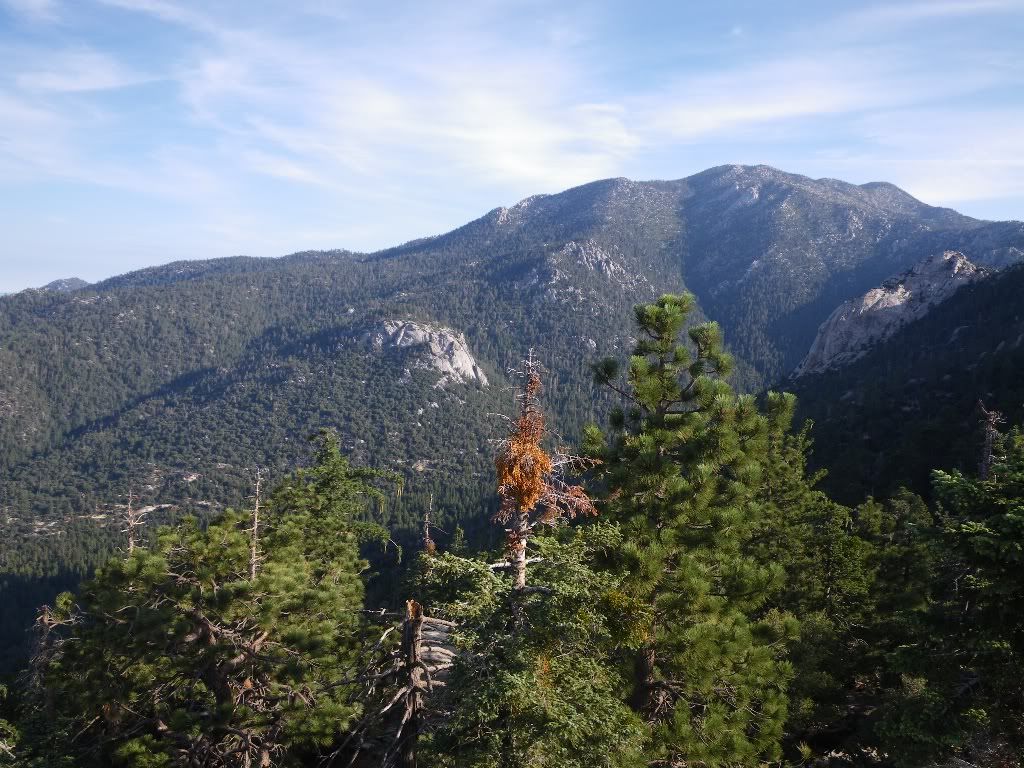
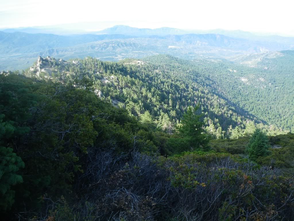
Our right will follow ridgeline from right to middle left ridgeline to Suicide Rocks:
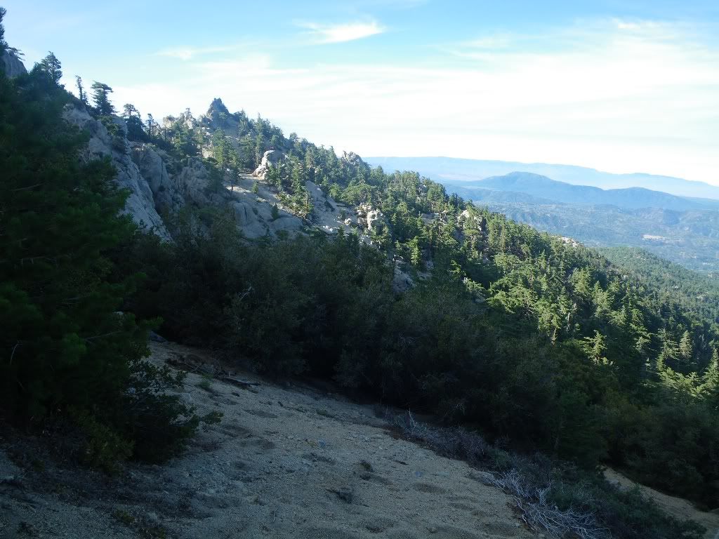
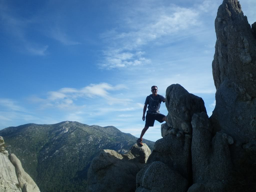
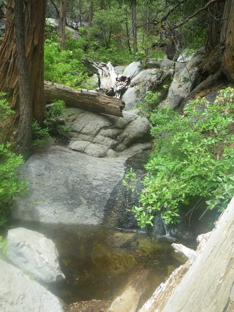
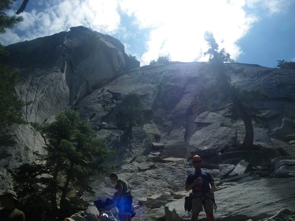
South Ridge Trail:
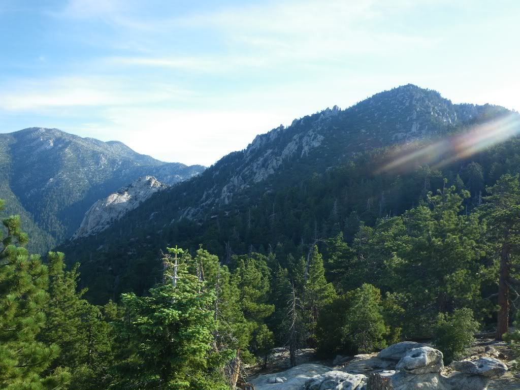
Looking at our route looping from East to West:
Future winter route? Hell yeah!!!
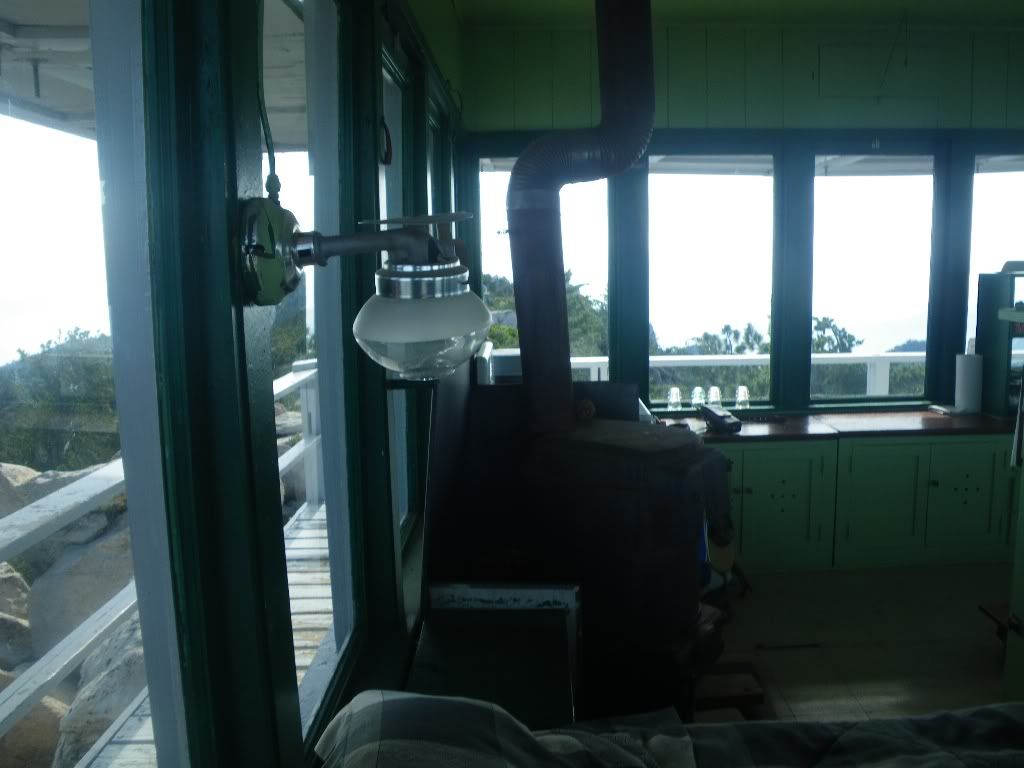
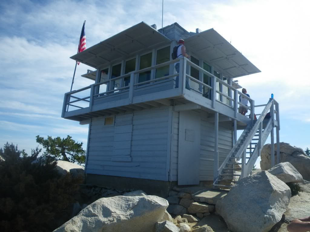
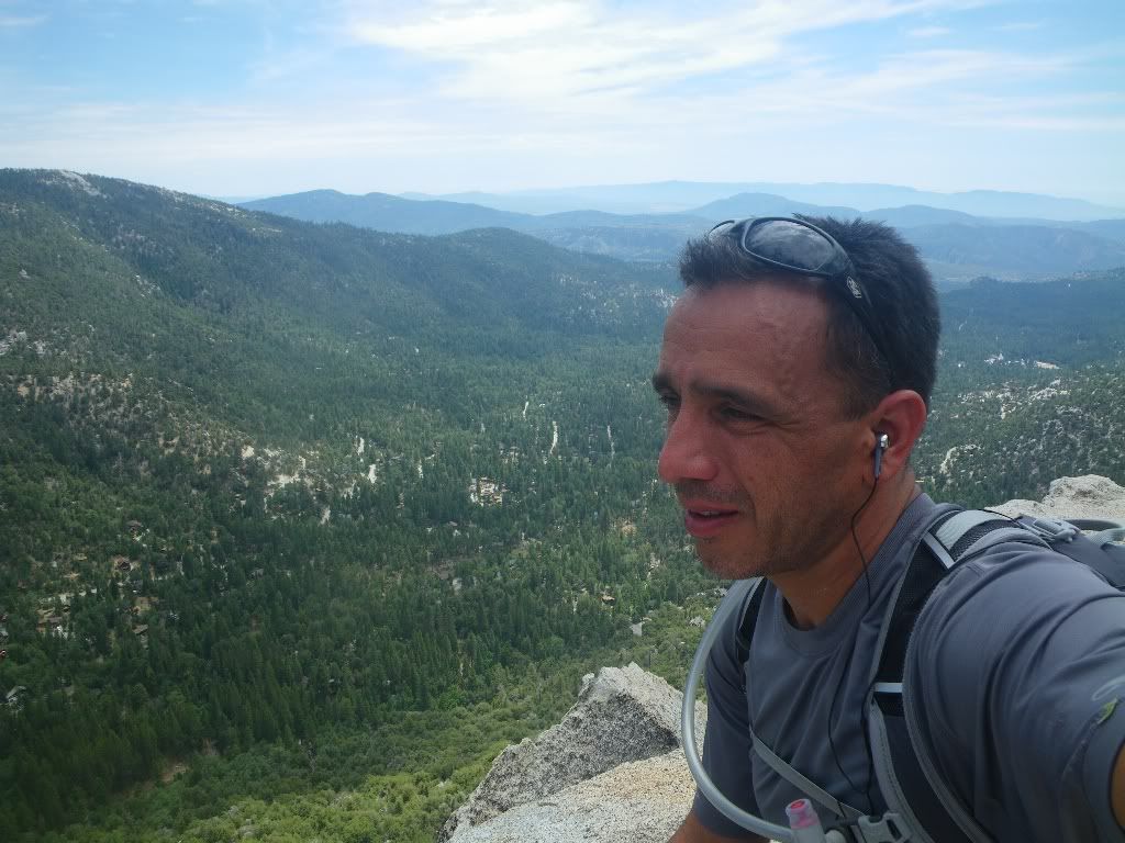
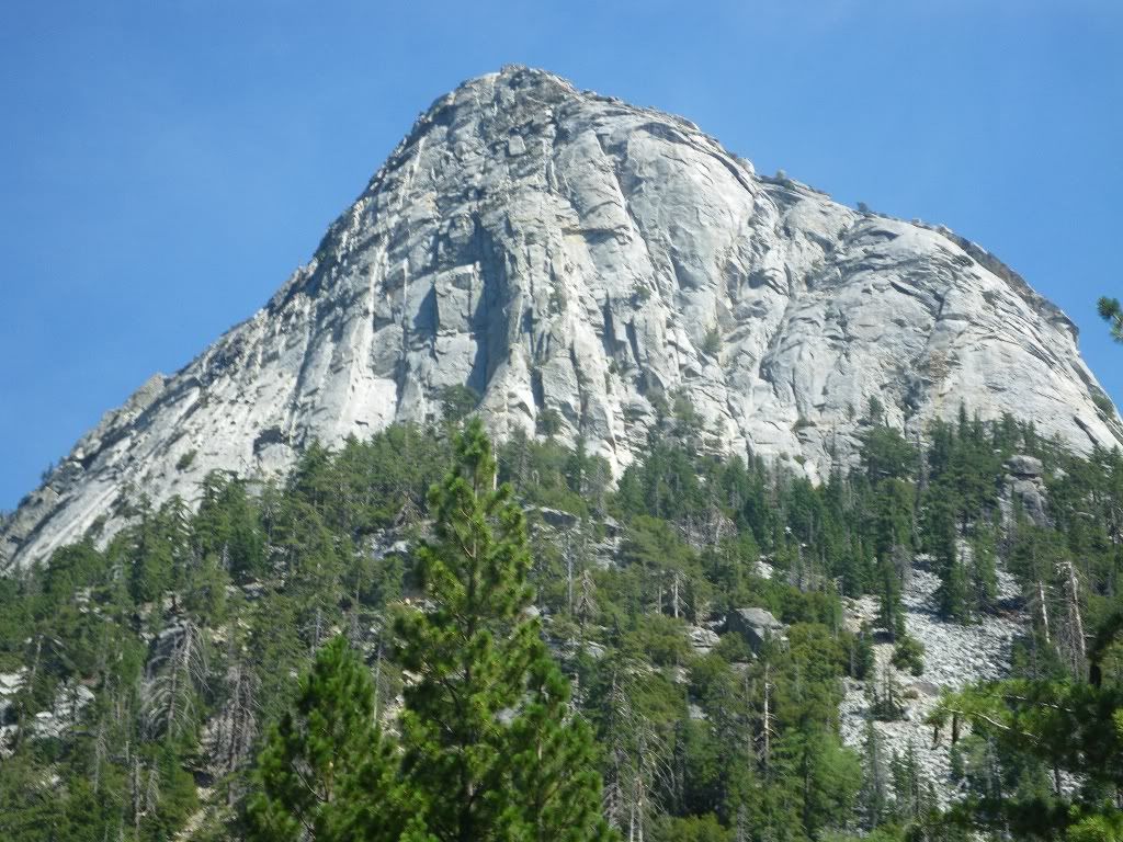
Tahquitz Fire Lookout:
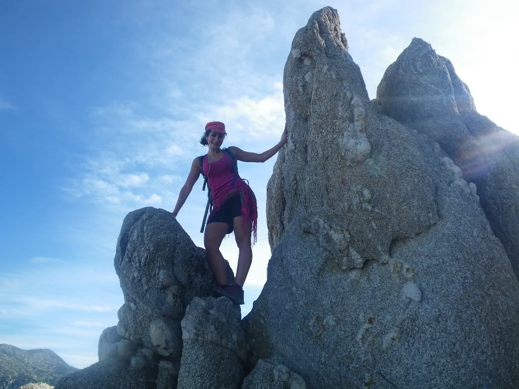
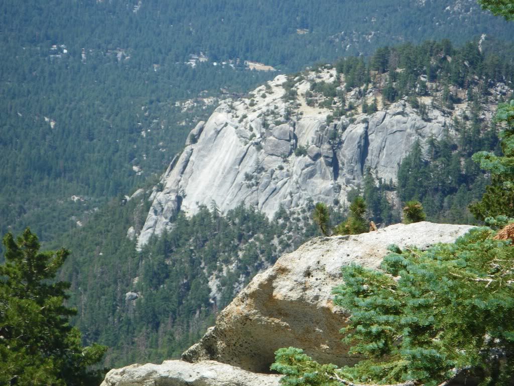
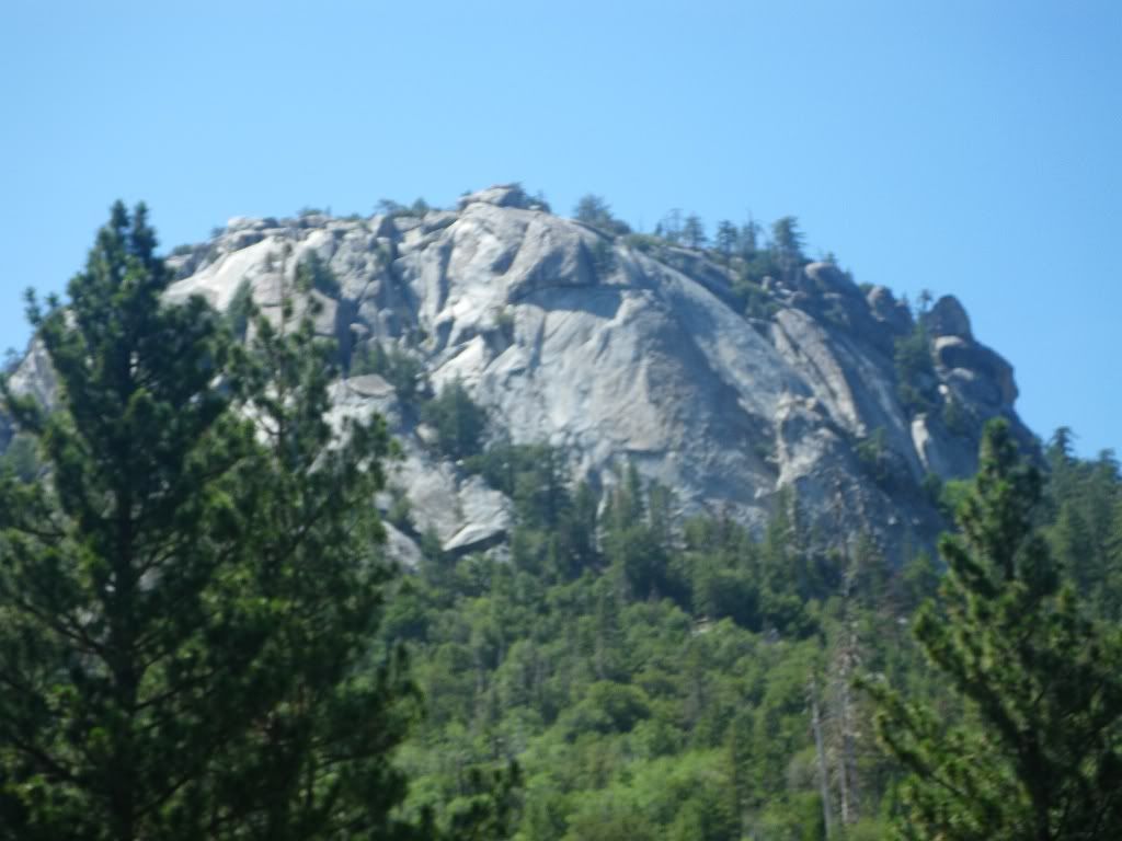
Suicide Rocks:
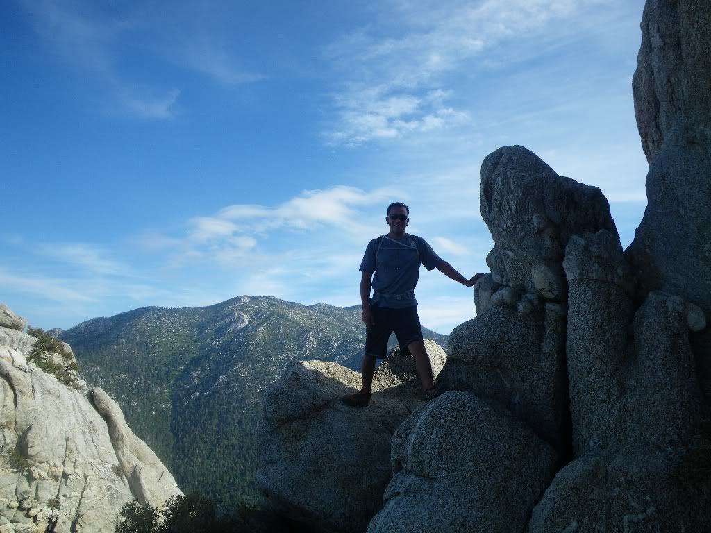
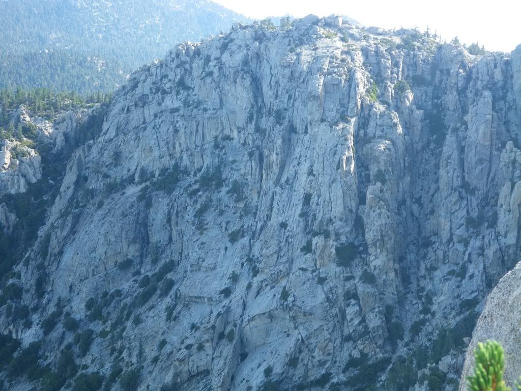
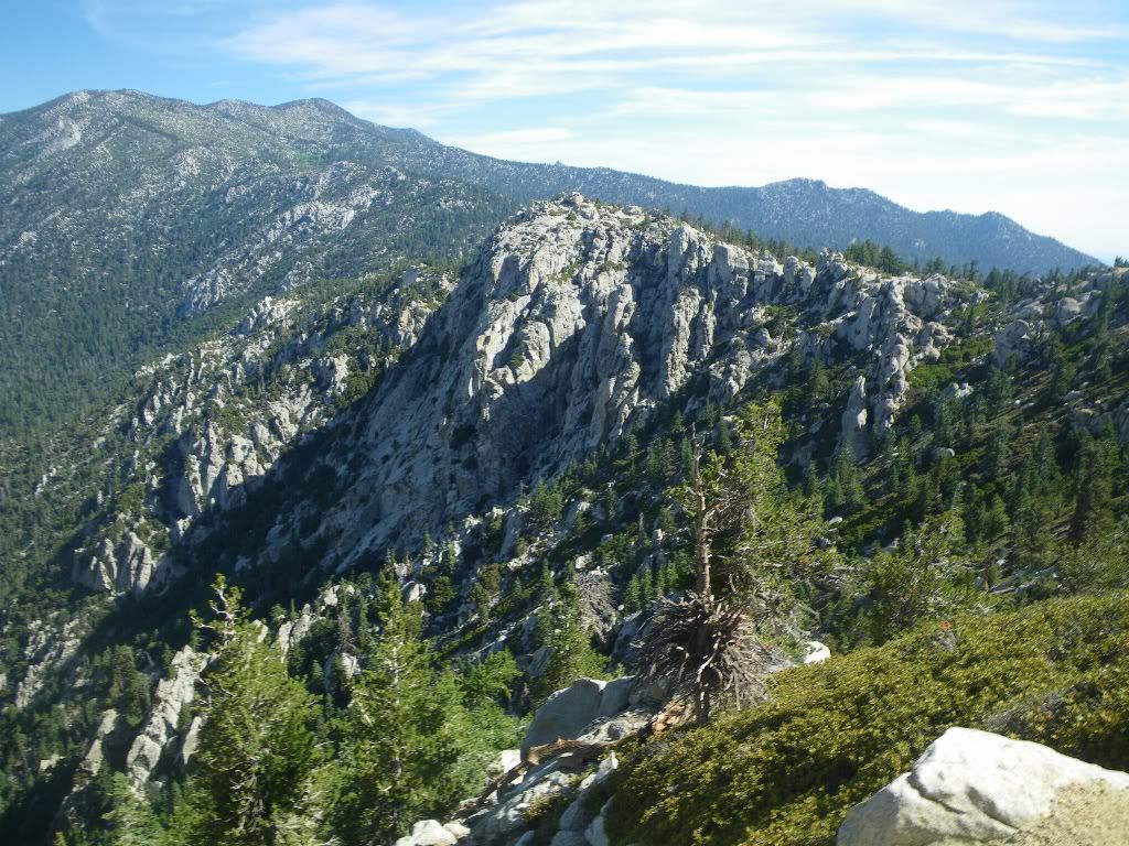
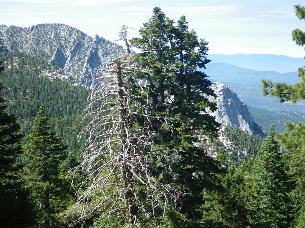
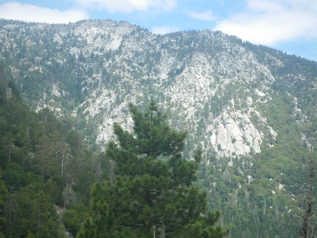
The ridge line we just traversed and Lily Rock:
Approaching Suicide Rocks:
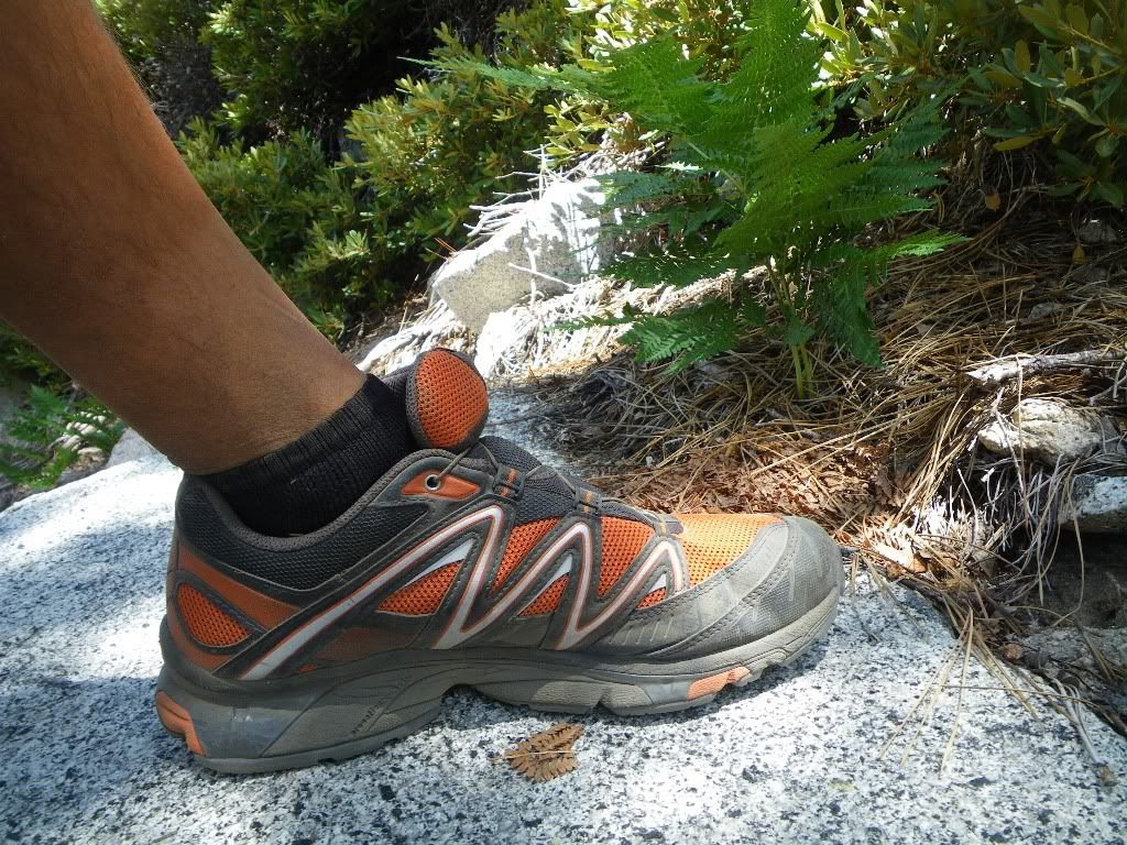
One Solomon:
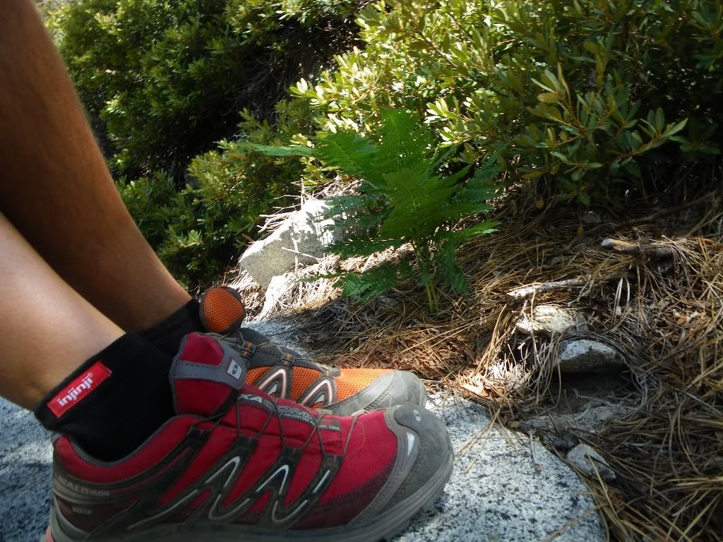
Two Solomon:
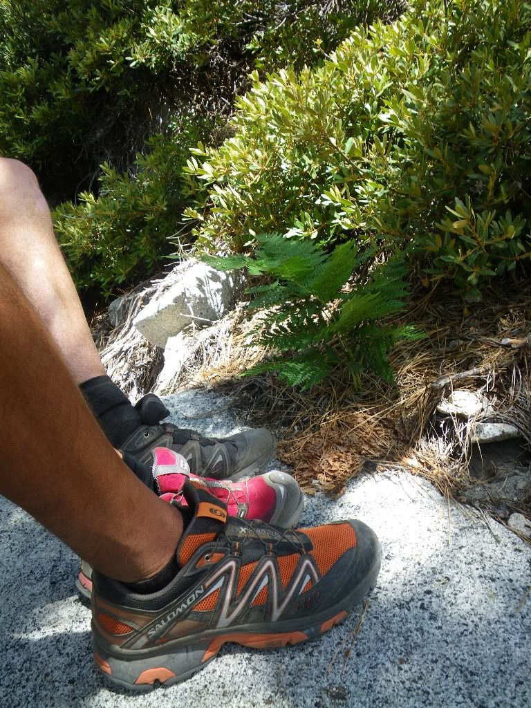
Team Solomon:

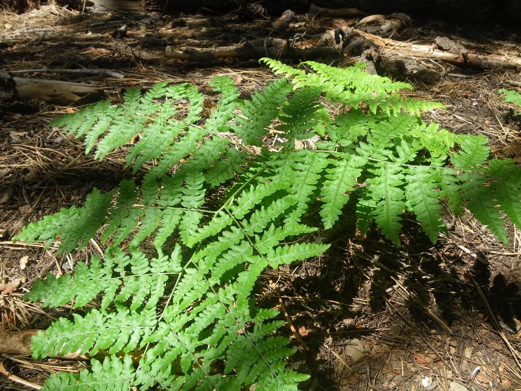
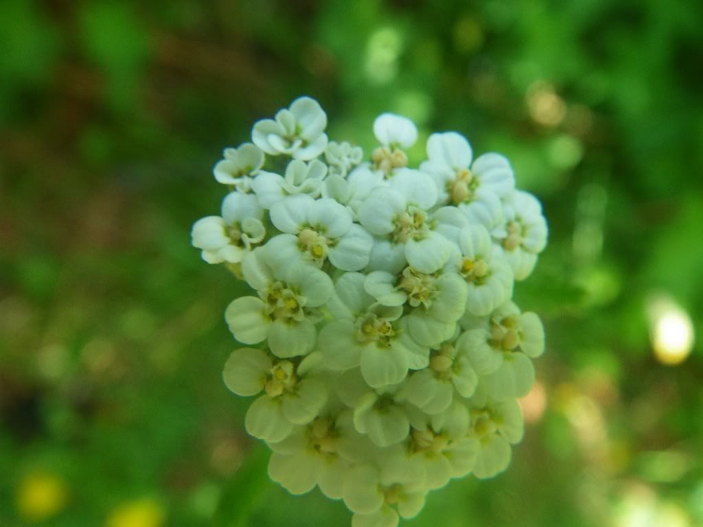
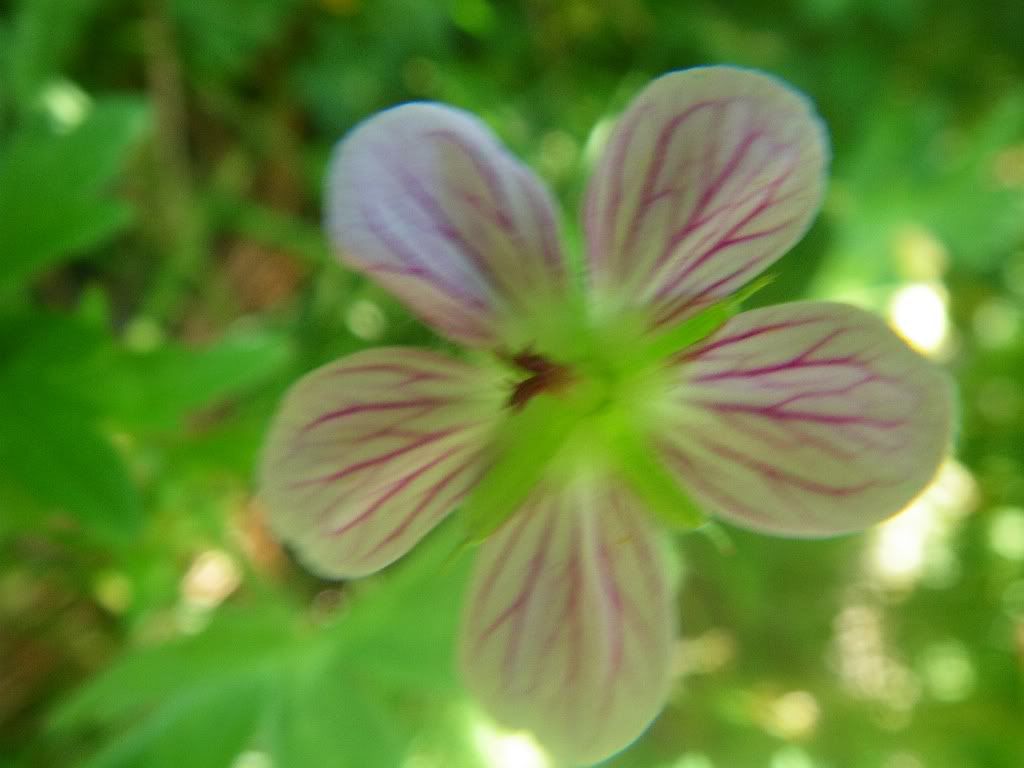
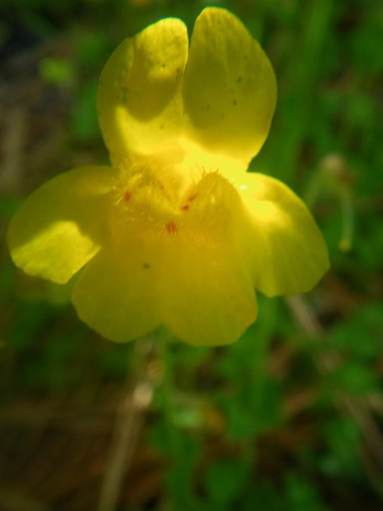
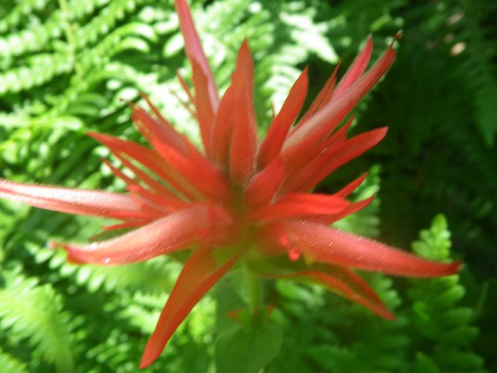
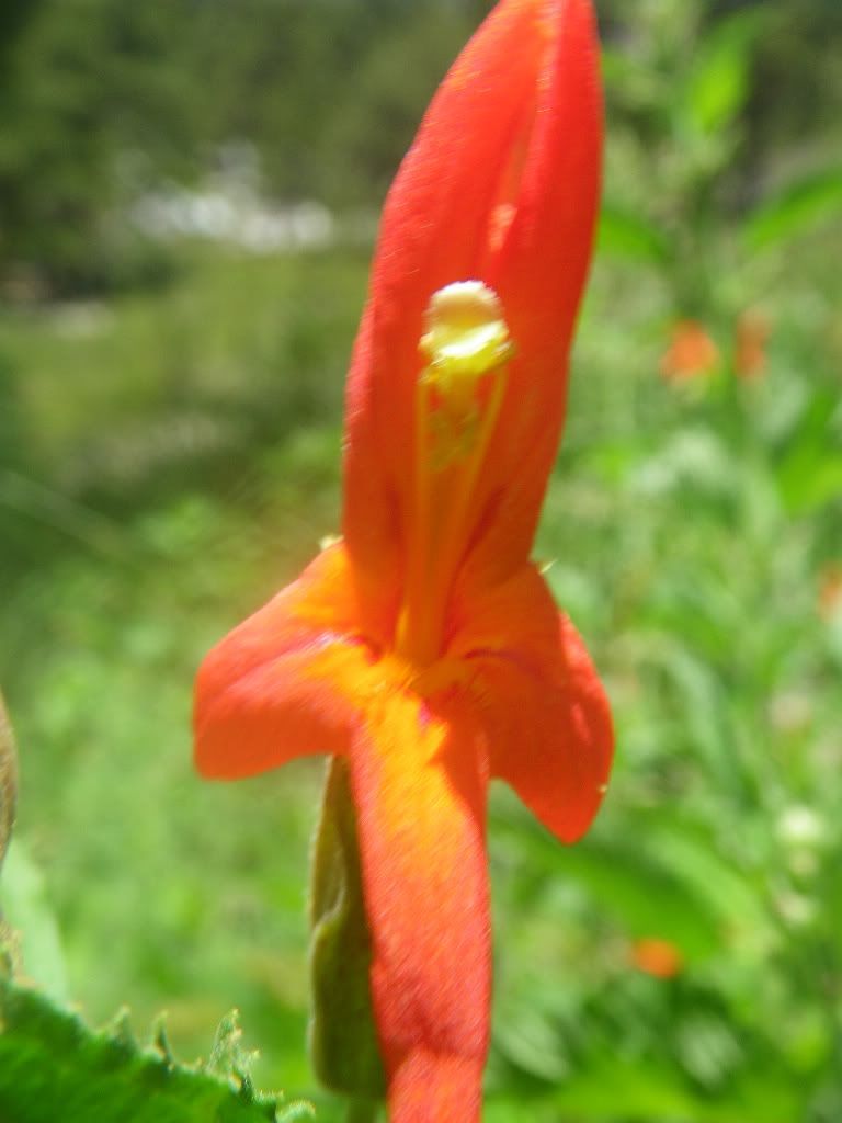
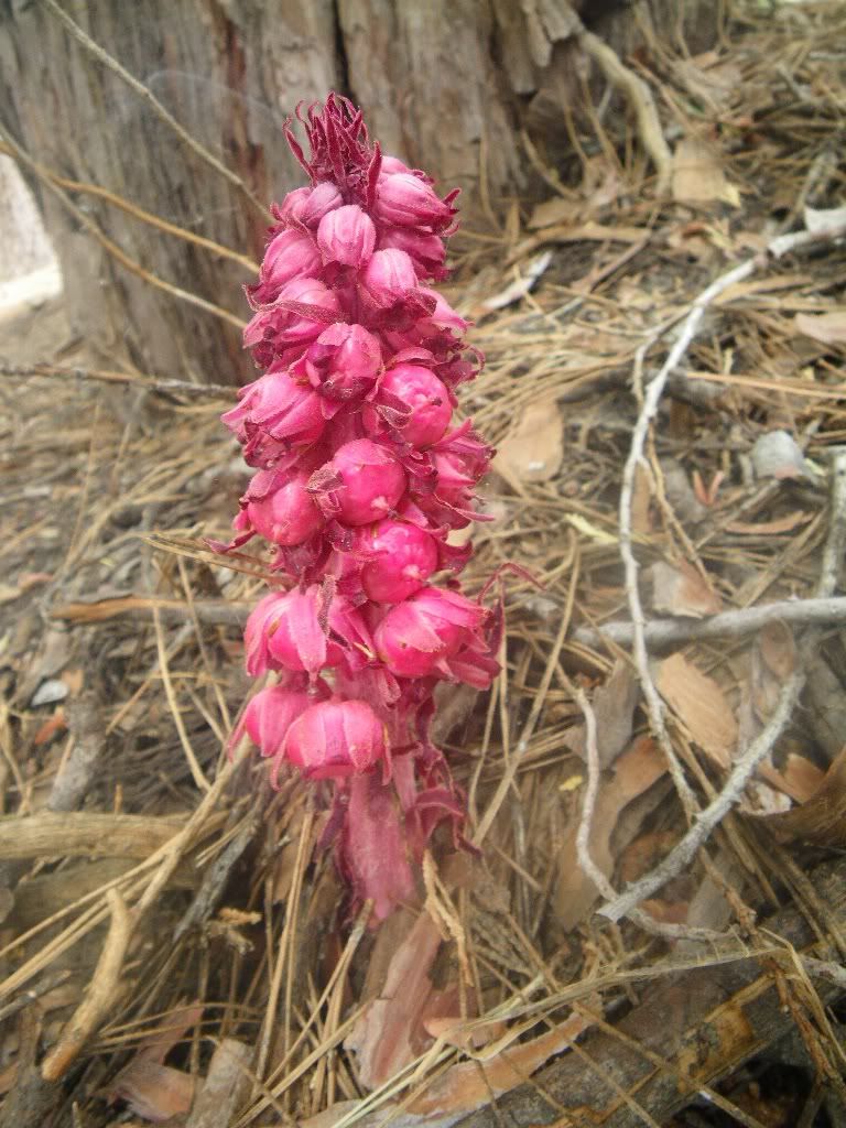
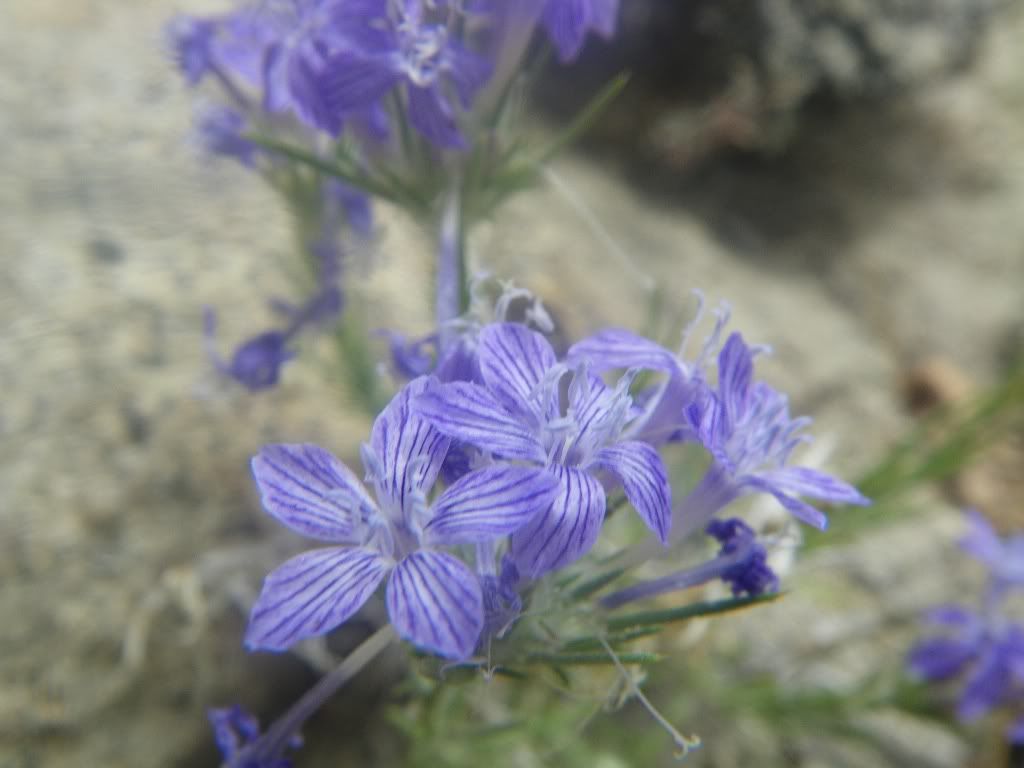
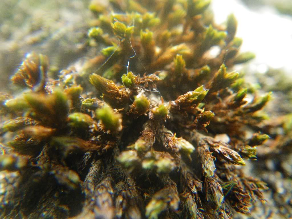
Flowers:
Tahquitz Pk, Fire Lookout, Suicide Rocks Loop via South Ridge
17+ miles, approx 10 hrs
After my first "test" hike in the Baldy area after my achillies tear, I decided to try something a little longer and a little faster. At the same time, I figure this will be the start of a new cardio training regimen.
I wanted something a little different, something with a lot more elevation gain/loss and a place with less crowds and definitly more scenic than IHC or Baldy. I chose the backside of San Jacinto, near Humber Park.
Our route would take me up the "no nonsense" South Ridge Trail, to the Fire Lookout atop Tahquitz Peak. Beautiful views the entire way and side excursion to top of Lily Rock left me craving for a "rock route" sometime soon.
After leaving Tahquitz Peak, we continued the ridgeline to Saddle Junction, Wellman Divide, back through Wellman Cienega, Strawberry Cienega, Suicide Rocks, Humber Park and back to South Ridge.
Was a nice hike. I'll let the pictures tell the rest of the story:
Worm hole to the East:
Our route will follow top of ridgeline from right to left
Our right will follow ridgeline from right to middle left ridgeline to Suicide Rocks:
South Ridge Trail:
Looking at our route looping from East to West:
Future winter route? Hell yeah!!!
Tahquitz Fire Lookout:
Suicide Rocks:
The ridge line we just traversed and Lily Rock:
Approaching Suicide Rocks:
One Solomon:
Two Solomon:
Team Solomon:
Flowers: