Page 1 of 1
Chantry Flat - Lower Devil's Canyon
Posted: Mon May 10, 2010 6:15 pm
by Elwood
I'll describe this hike a little later...
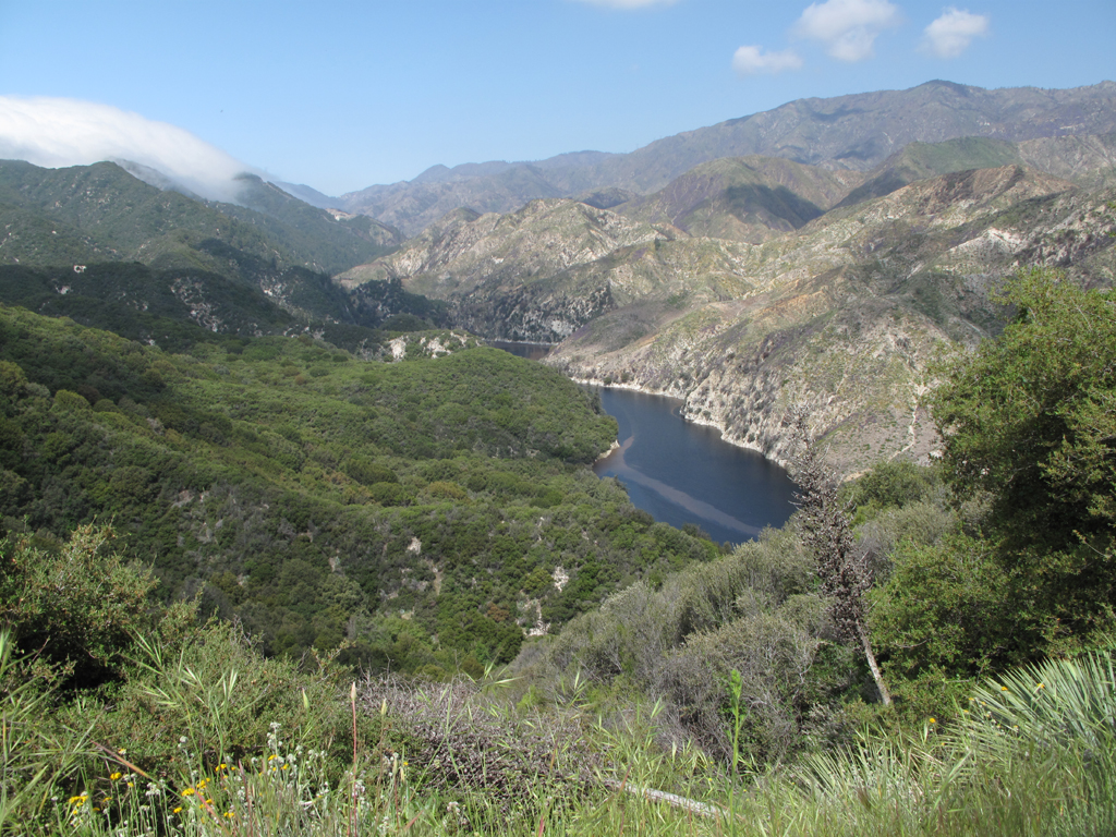
Looking towards the west end of Cogswell Reservoir.
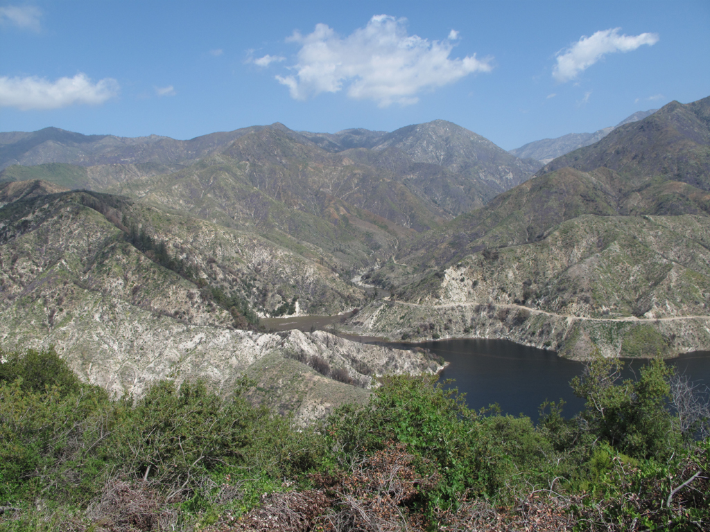
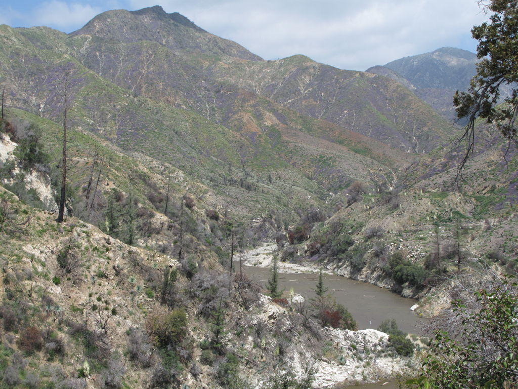
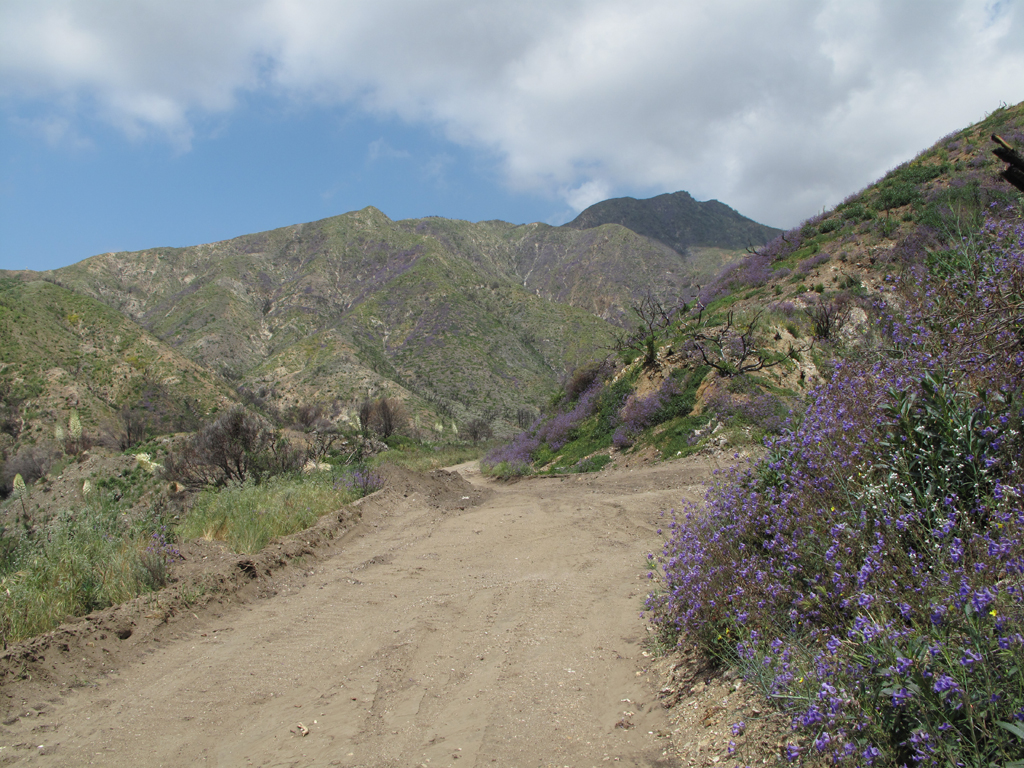
Looking up lower Devil's Canyon from 2N25.
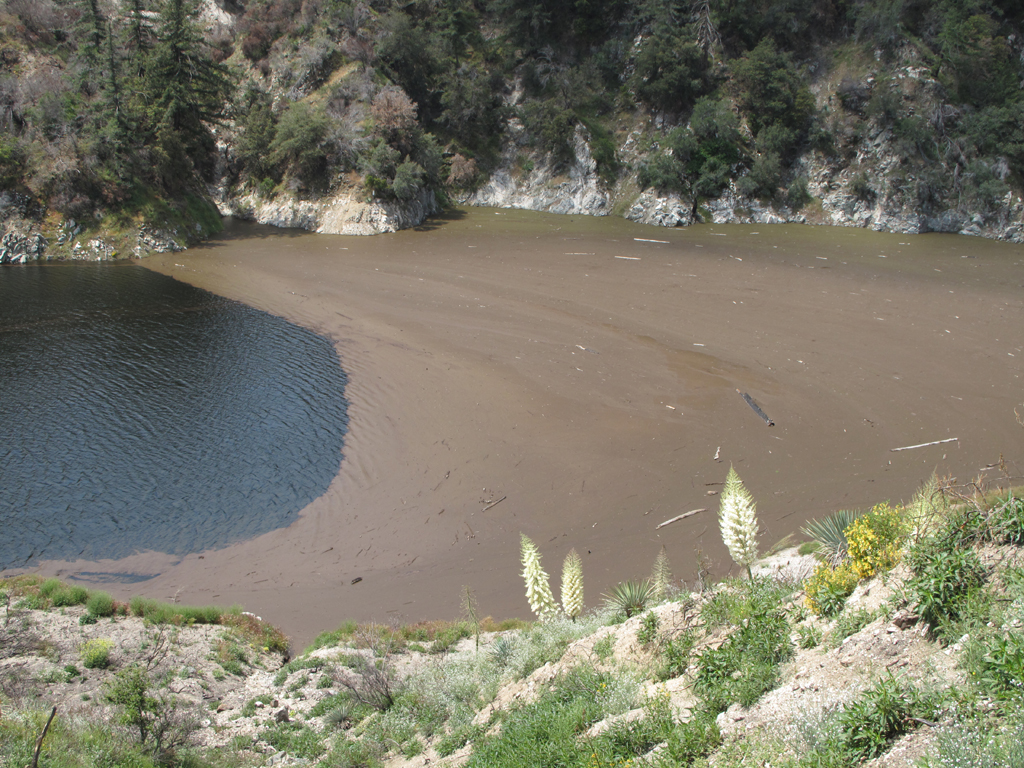
Floating material atop Devil's drainage into Cogswell.
Floating booms across Cogswell and Station Burn edge.
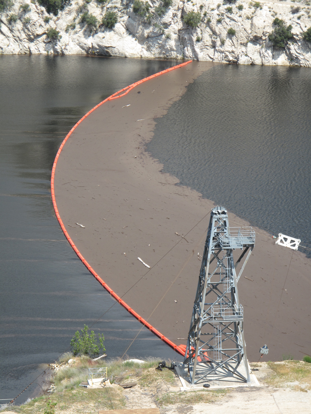
Cableway and boom detail.

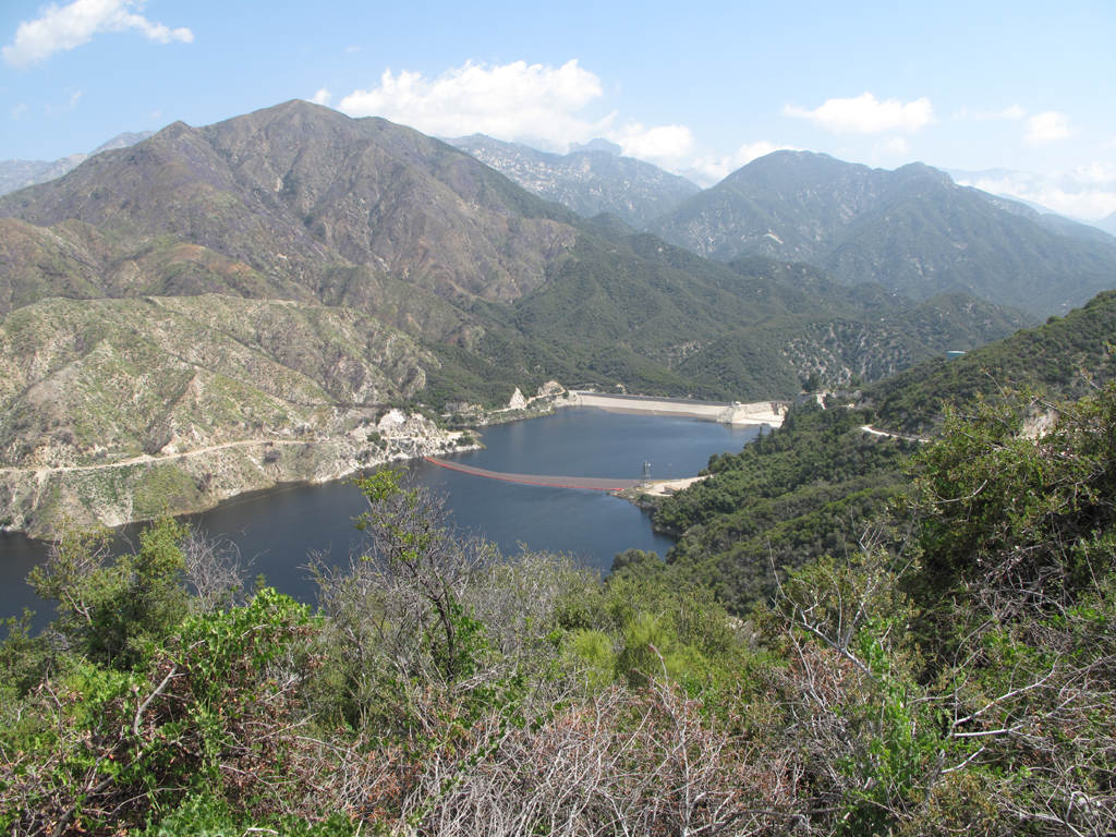
View across the reservoir from the dam.

Recovering brush above the Devil's Canyon fire road.
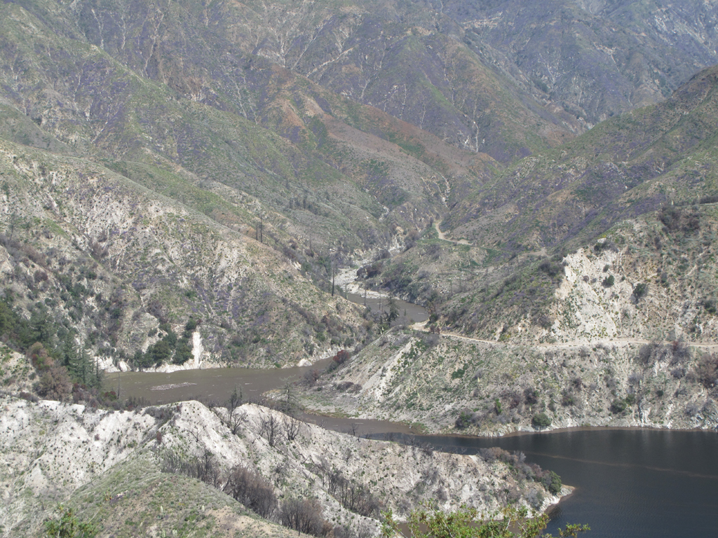
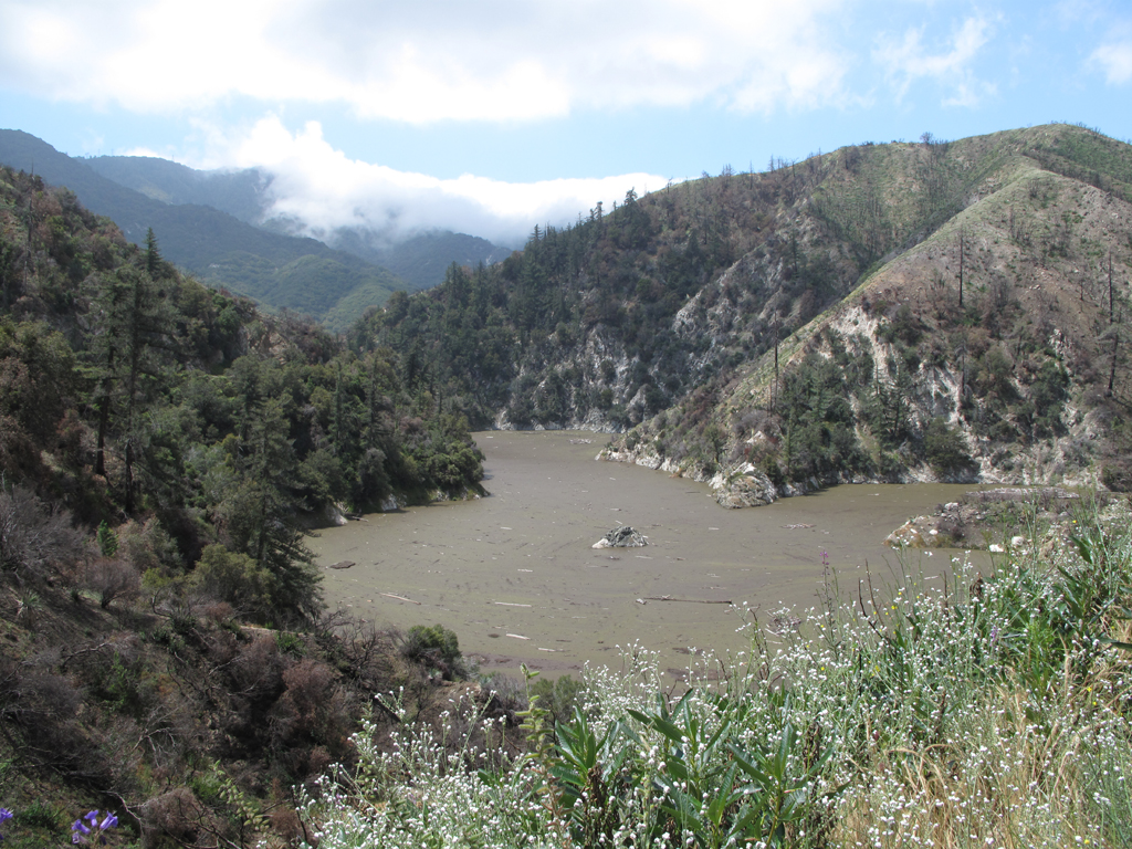
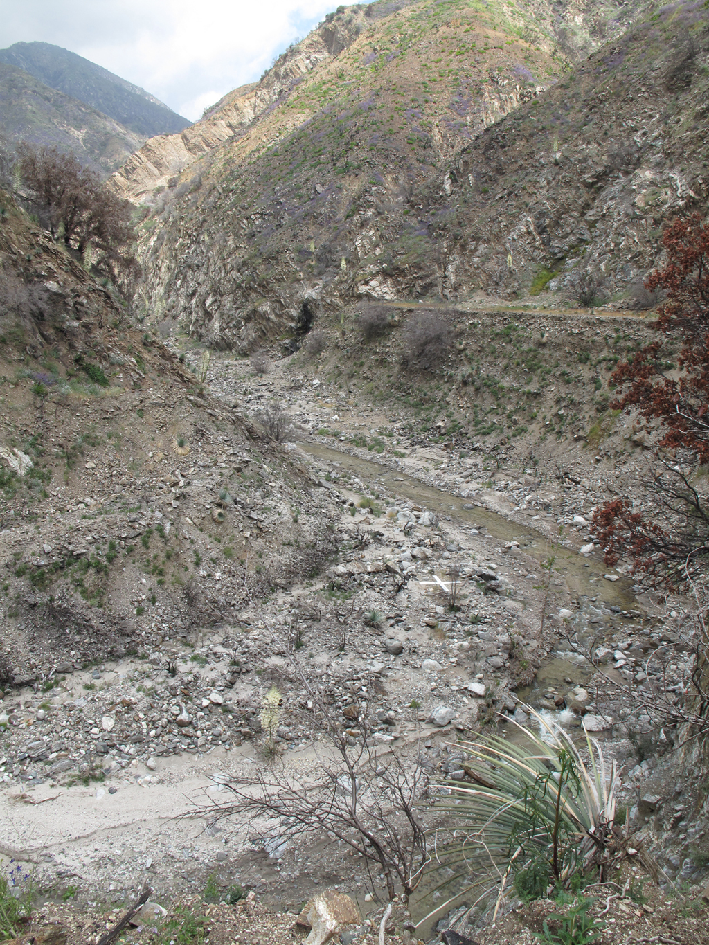
Bottom of Devil's Canyon drainage.
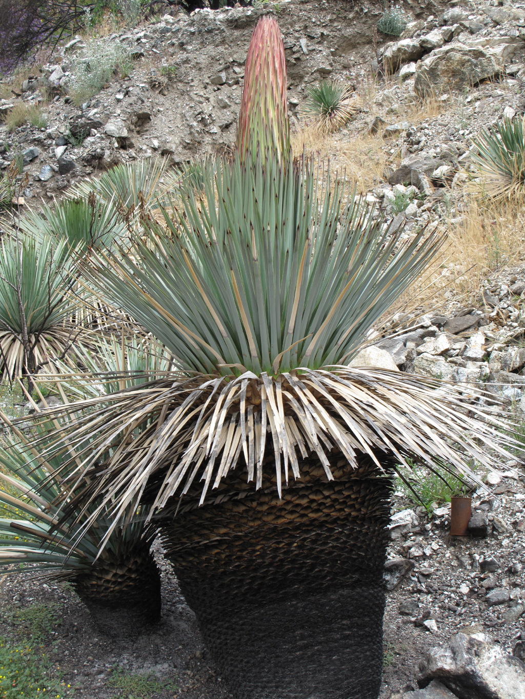
Recovering hillsides up the canyon.
More floating material in the canyon.
Nearing the end of the plowed fire road.
At least THESE guys are O.K.
Limit of the view from the shelf at road's end.
There are actually two mule deer browsing above this picture's center.
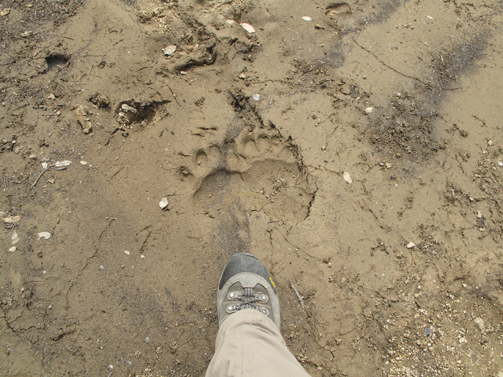
Bear prints adjacent to a pool below Newcomb Saddle.
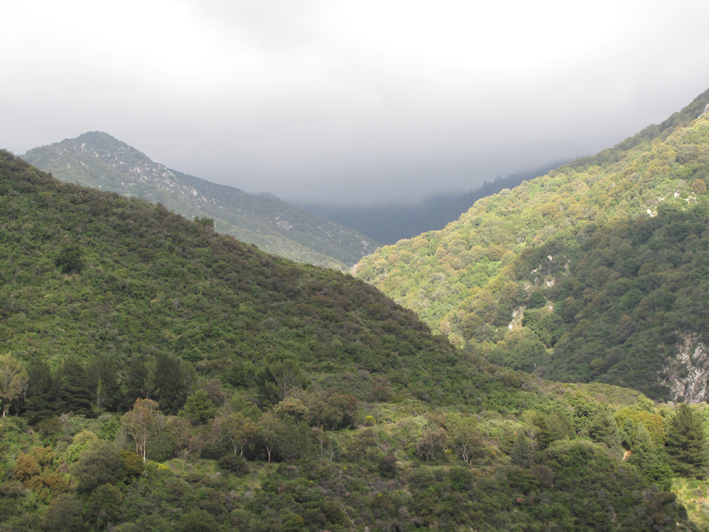
Afternoon sun lighting up Big Santa Anita.
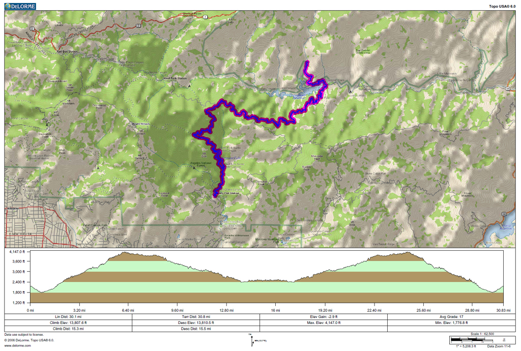
GPS track and elevation profile.
Re: Chantry Flat - Lower Devil's Canyon
Posted: Mon May 10, 2010 6:32 pm
by RyanB
30 Miles! My hats off...
Re: Chantry Flat - Lower Devil's Canyon
Posted: Mon May 10, 2010 6:46 pm
by Ze Hiker
Jake is at it again eh?

Re: Chantry Flat - Lower Devil's Canyon
Posted: Mon May 10, 2010 7:46 pm
by Taco
That's a fun looking road!
What is most of that floating brown crap, just soil bits?
Re: Chantry Flat - Lower Devil's Canyon
Posted: Mon May 10, 2010 8:58 pm
by cougarmagic
Love it!! I was hoping to see an animal track pic ("ohpleaseohpleaseohplease") and the bear tracks do not disappoint! That's a good sized bear.
Those purple flowers (phacaelea?) are really goin' for it!
Thanks!
Re: Chantry Flat - Lower Devil's Canyon
Posted: Mon May 10, 2010 9:42 pm
by Hikin_Jim
cougarmagic wrote:Those purple flowers (phacaelea?) are really goin' for it!
I've always called 'em phacilium, but your Latin is probably better than mine.
30 miles?

Props to you (better you than me).

HJ
Re: Chantry Flat - Lower Devil's Canyon
Posted: Tue May 11, 2010 7:53 am
by PackerGreg
The purple flowers...

Re: Chantry Flat - Lower Devil's Canyon
Posted: Tue May 11, 2010 8:33 am
by Elwood
There's probably a simple answer as to the identity of the buoyant material in the reservoir and canyon drainage, but I haven't been able to find it. I assume it's related to combustion products on the hillsides, or simply lighter material no longer retained by vegetation.
Regarding wildlife; Jake saw lots of deer tracks and several
Odocoileus on the hillsides north of 2N25, in addition to the two foraging near the reservoir. He also surprised a large
Ursus Americanus lumbering across the road ~ 100 feet ahead. Unfortunately the bear dashed down the hillside before a picture could be taken.
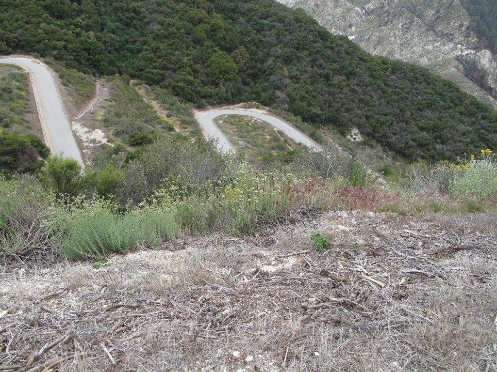
Do any SGMDFers know what the purpose of the serpentine roadway and drainage channels are in this picture?
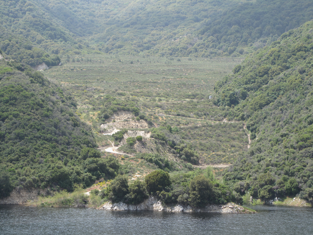
I'm guessing a service road for clearing the reservoir of debris. There's a similar one near big 'T'.
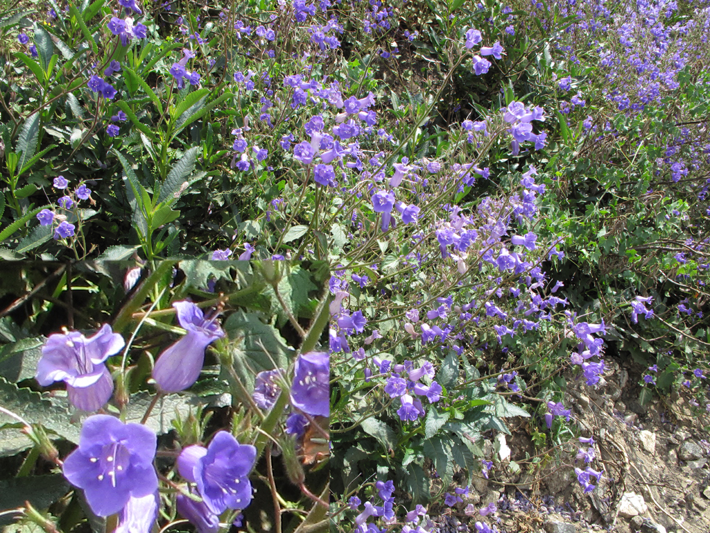 Phacelia
 in lower Devil's Cyn.
Re: Chantry Flat - Lower Devil's Canyon
Posted: Tue May 11, 2010 8:39 am
by PackerGreg
There's another terraced excavation near the big San Gabriel dam. It was explained to me by a forestry professor at Citrus College that these are former quarries used in dam construction.
Re: Chantry Flat - Lower Devil's Canyon
Posted: Tue May 11, 2010 10:43 am
by EManBevHills
Nice photo journal!
Re: Chantry Flat - Lower Devil's Canyon
Posted: Tue May 11, 2010 5:06 pm
by AW~
fabulous...hehehe I can see 3 of my hiking goals in one picture
"Floating booms across Cogswell and Station Burn edge."
Re: Chantry Flat - Lower Devil's Canyon
Posted: Tue May 11, 2010 5:46 pm
by cougarmagic
There are two bobcat prints in the bear print photo too....!