Page 1 of 1
Burro Peak and West Fork of San Gabriel River
Posted: Wed Mar 24, 2010 10:07 pm
by Zach
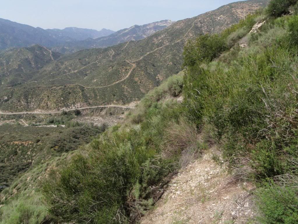
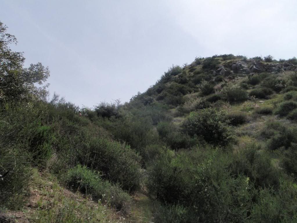
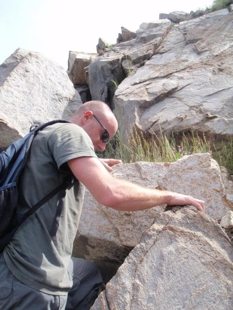
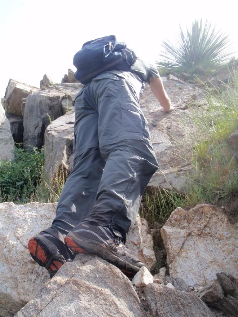
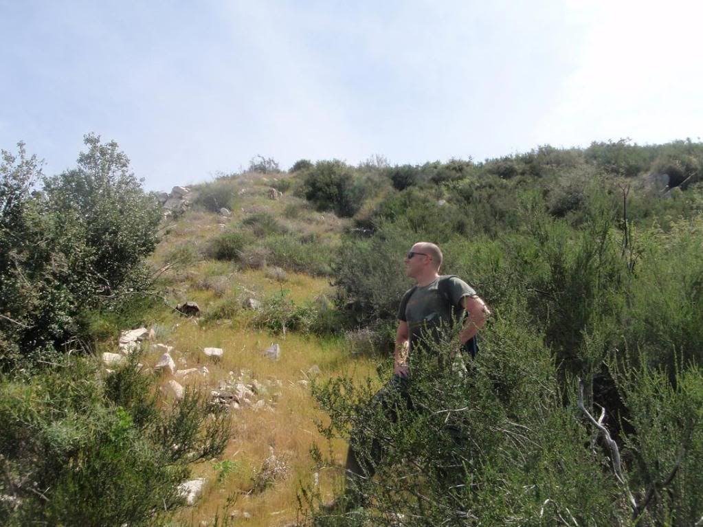
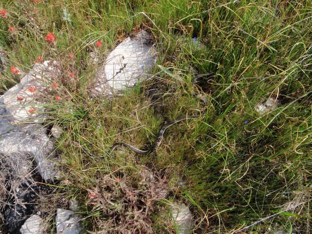
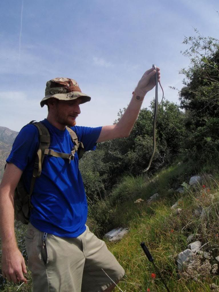
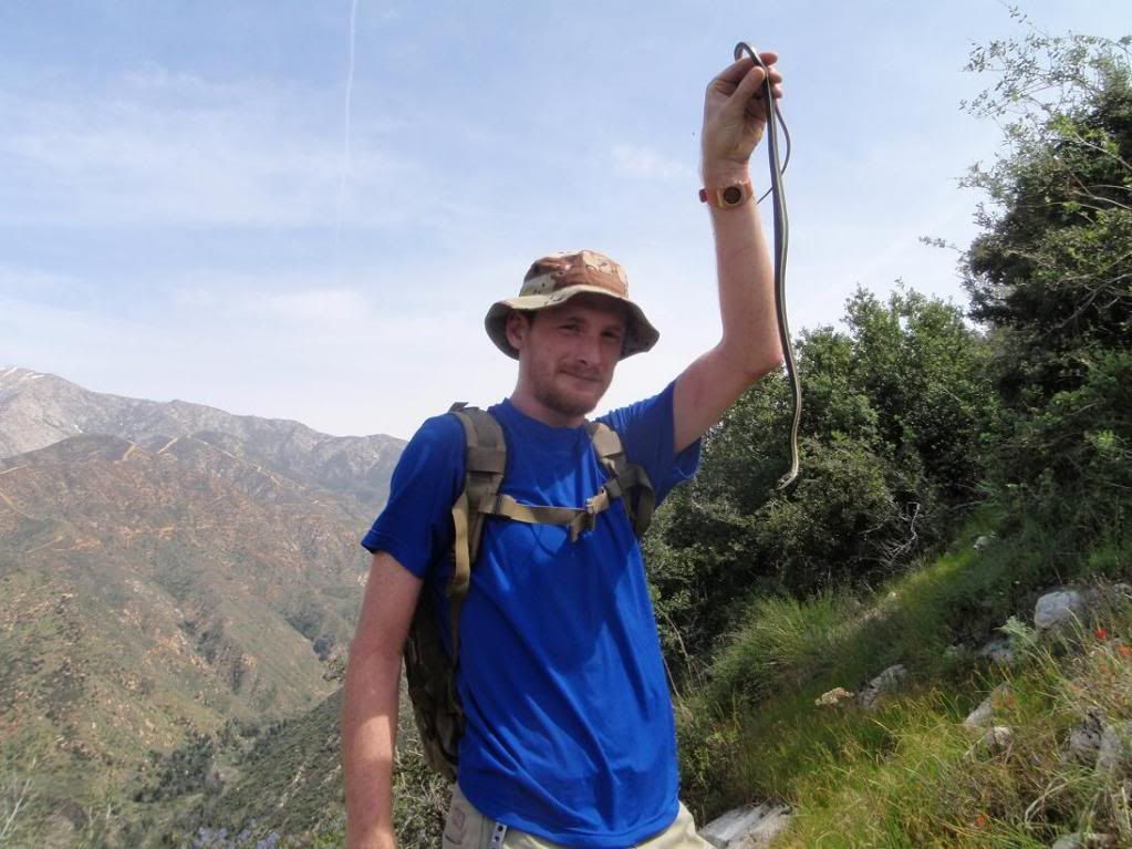
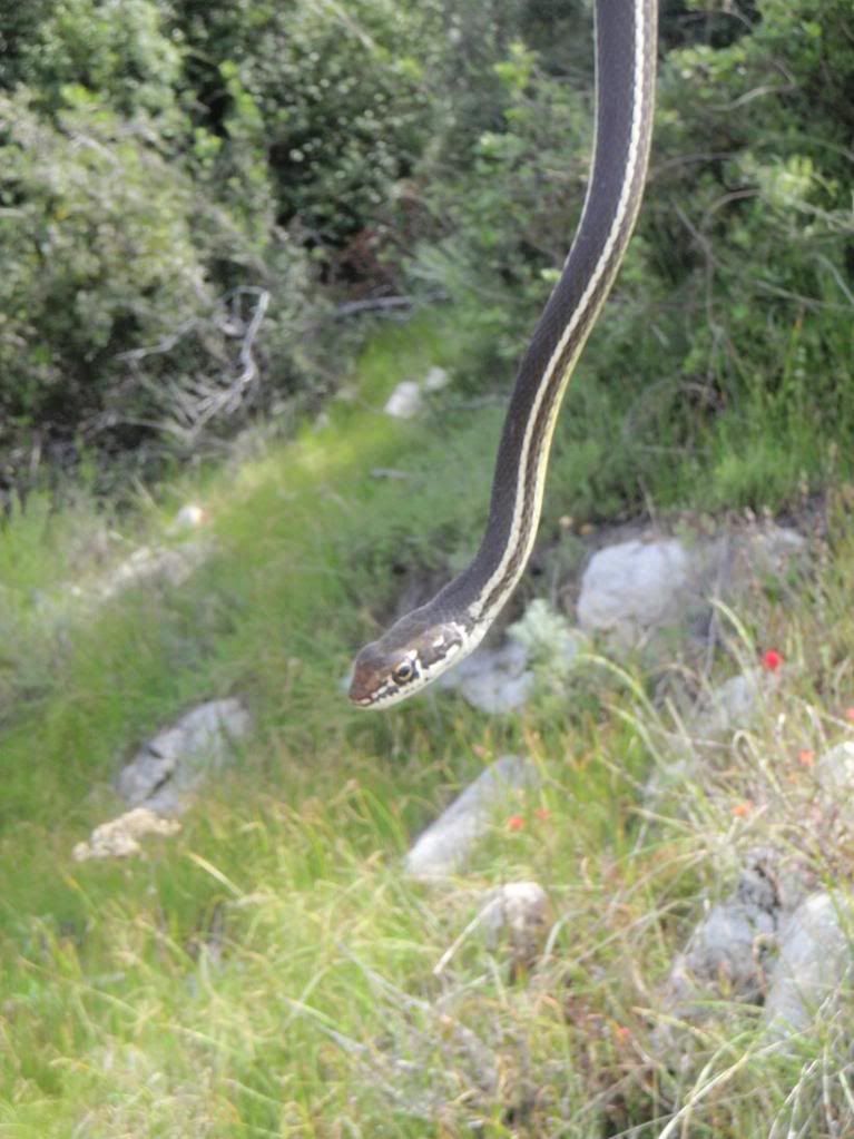
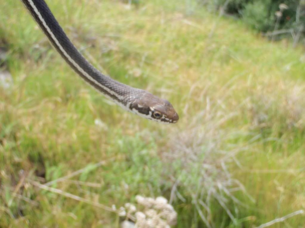
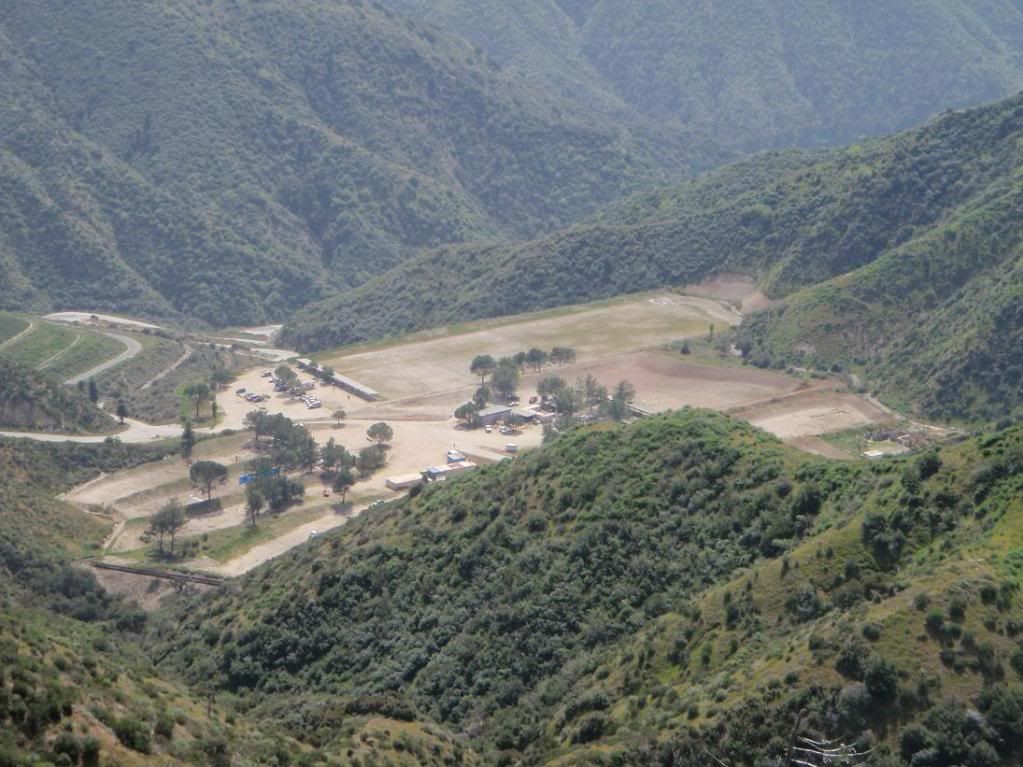
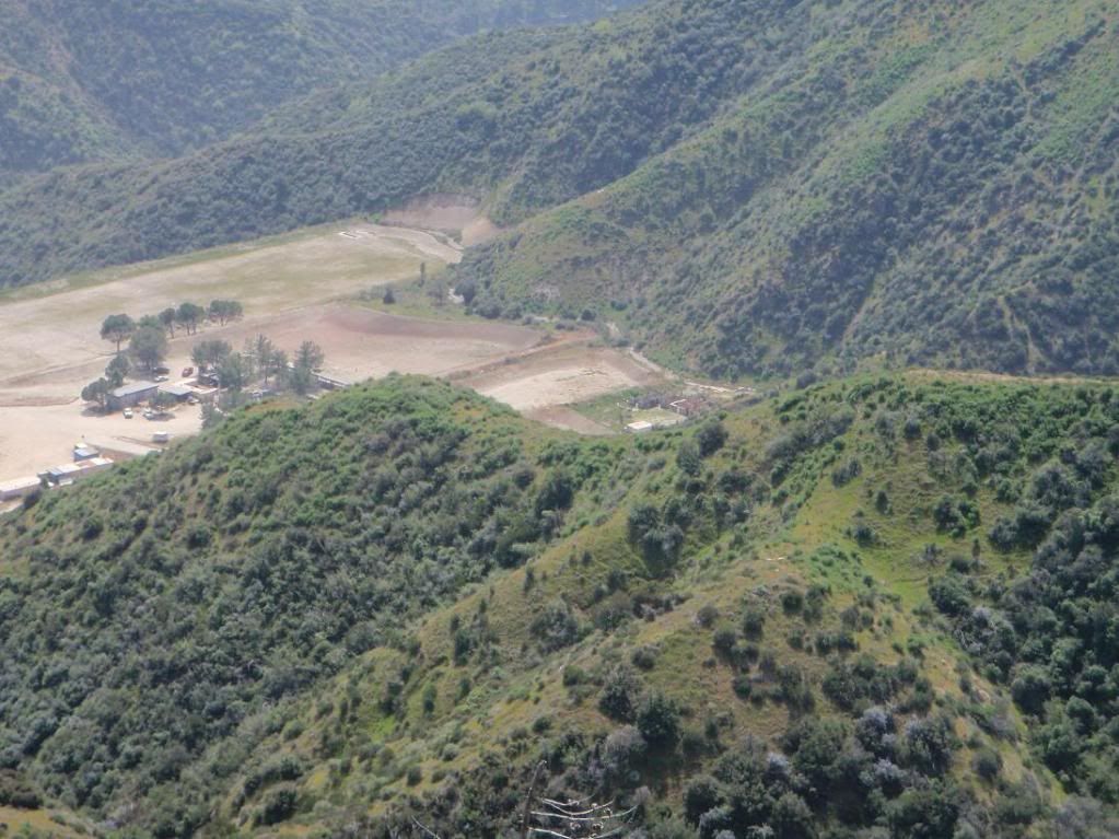
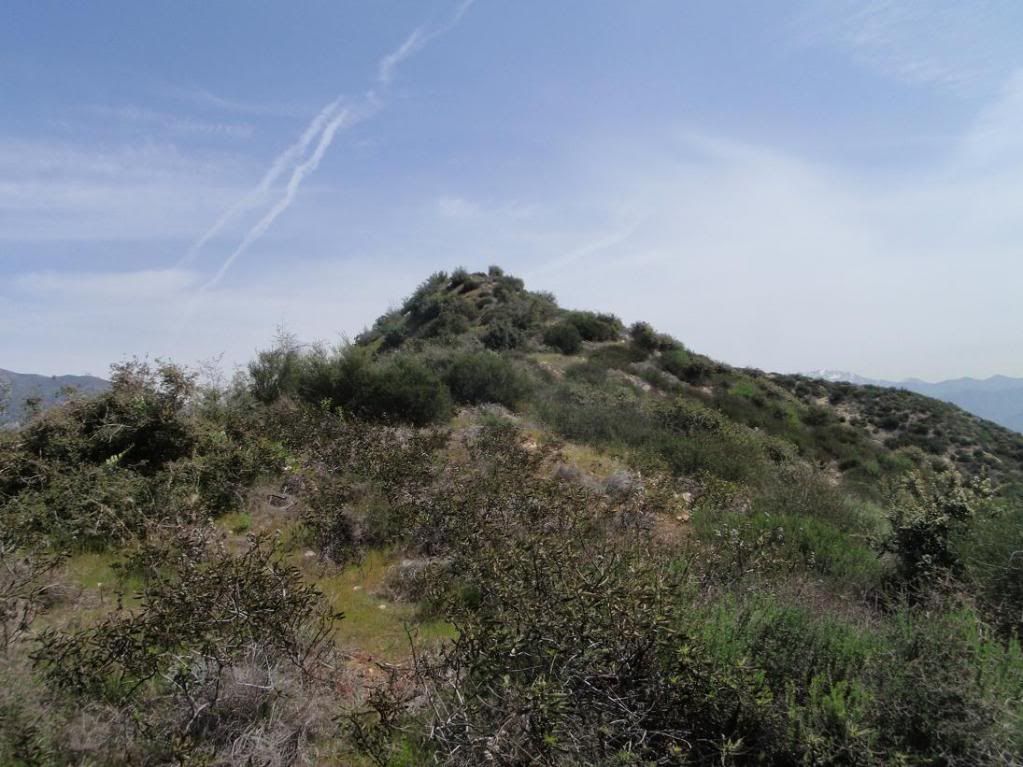
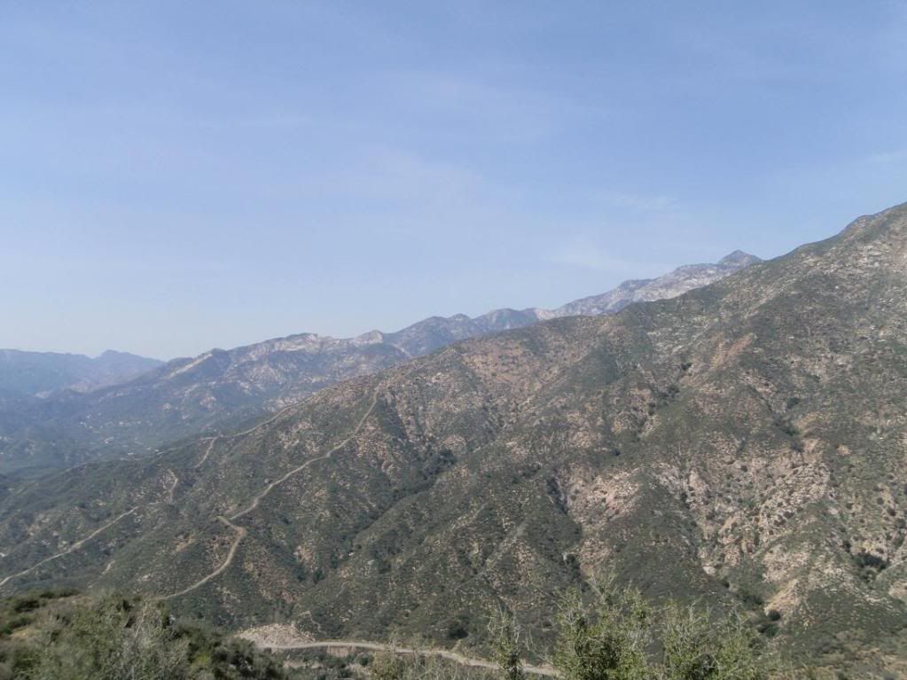
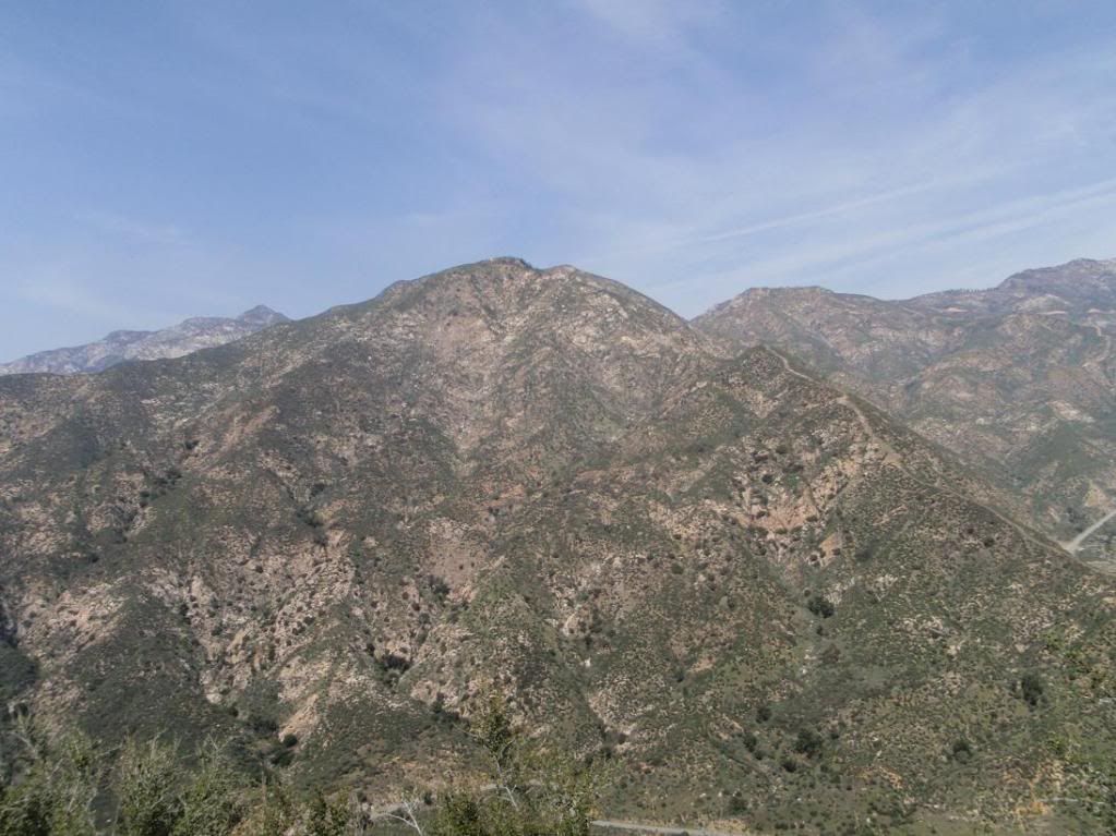
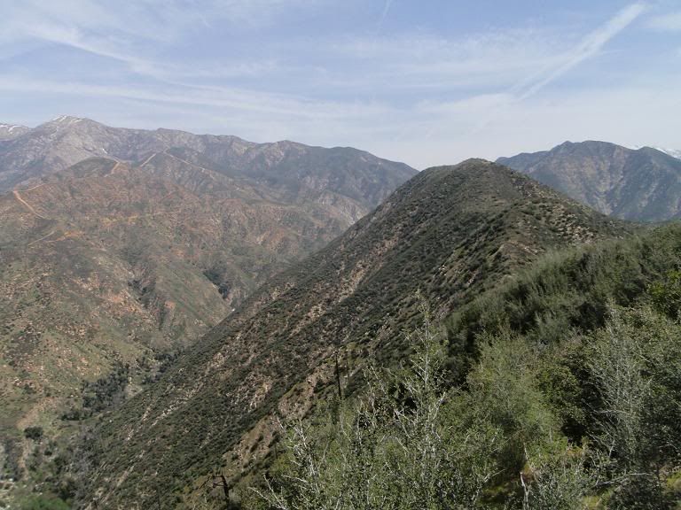
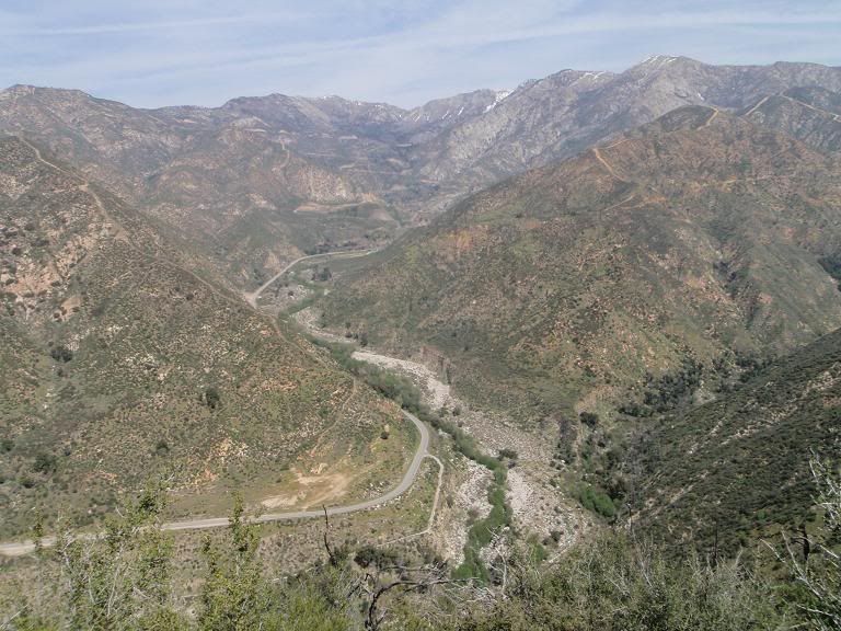
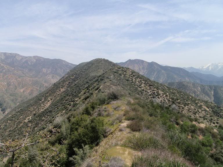
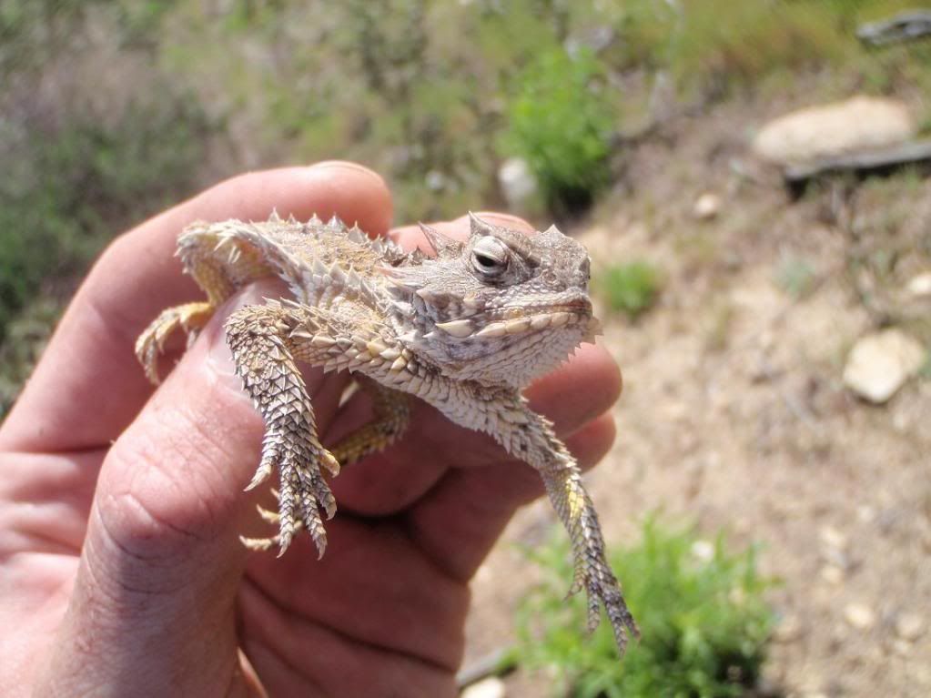
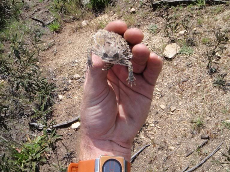
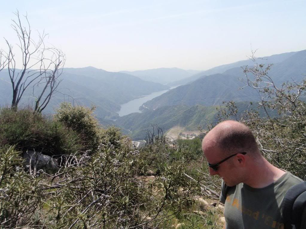
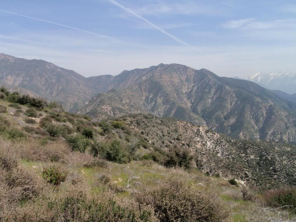
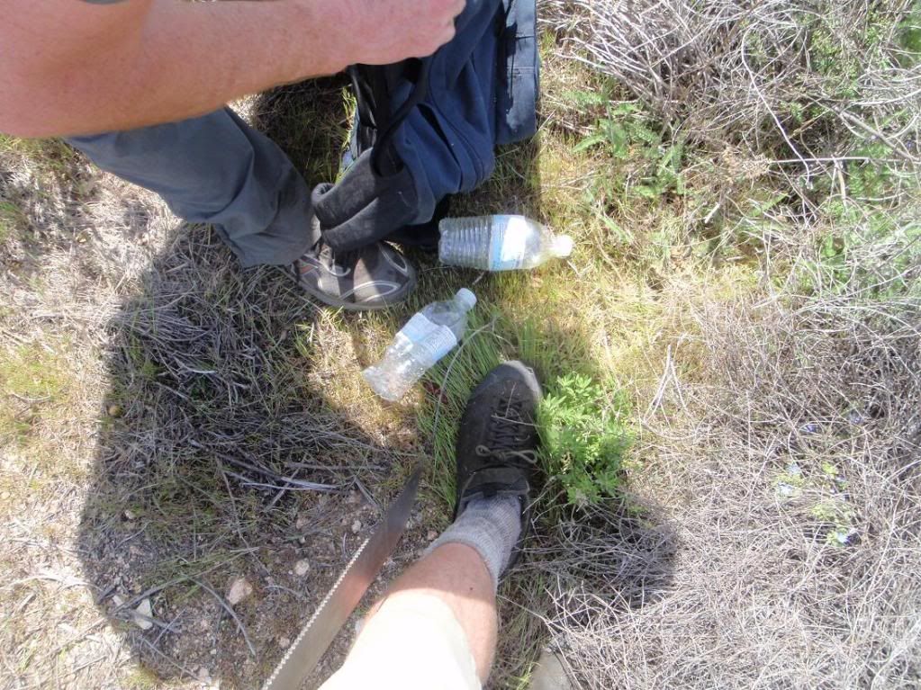
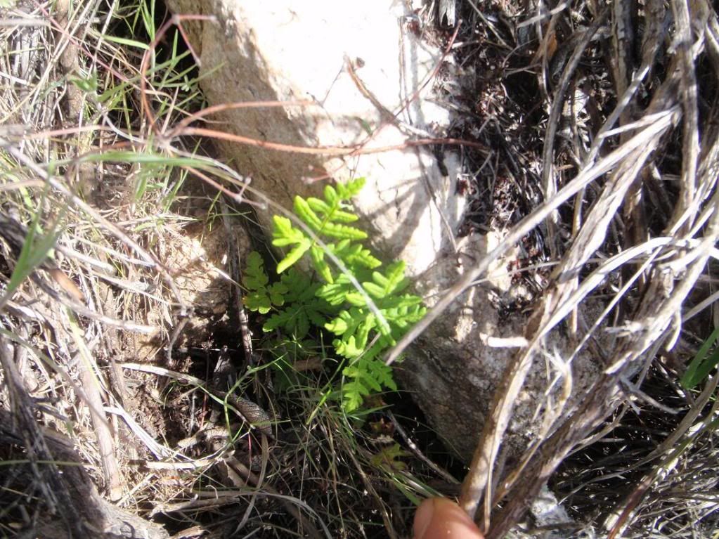
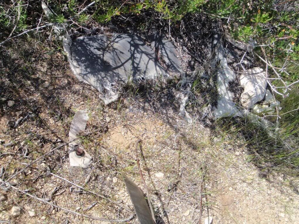
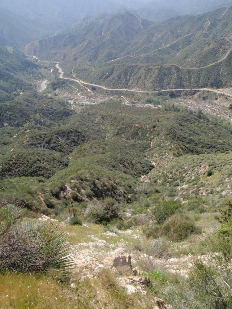
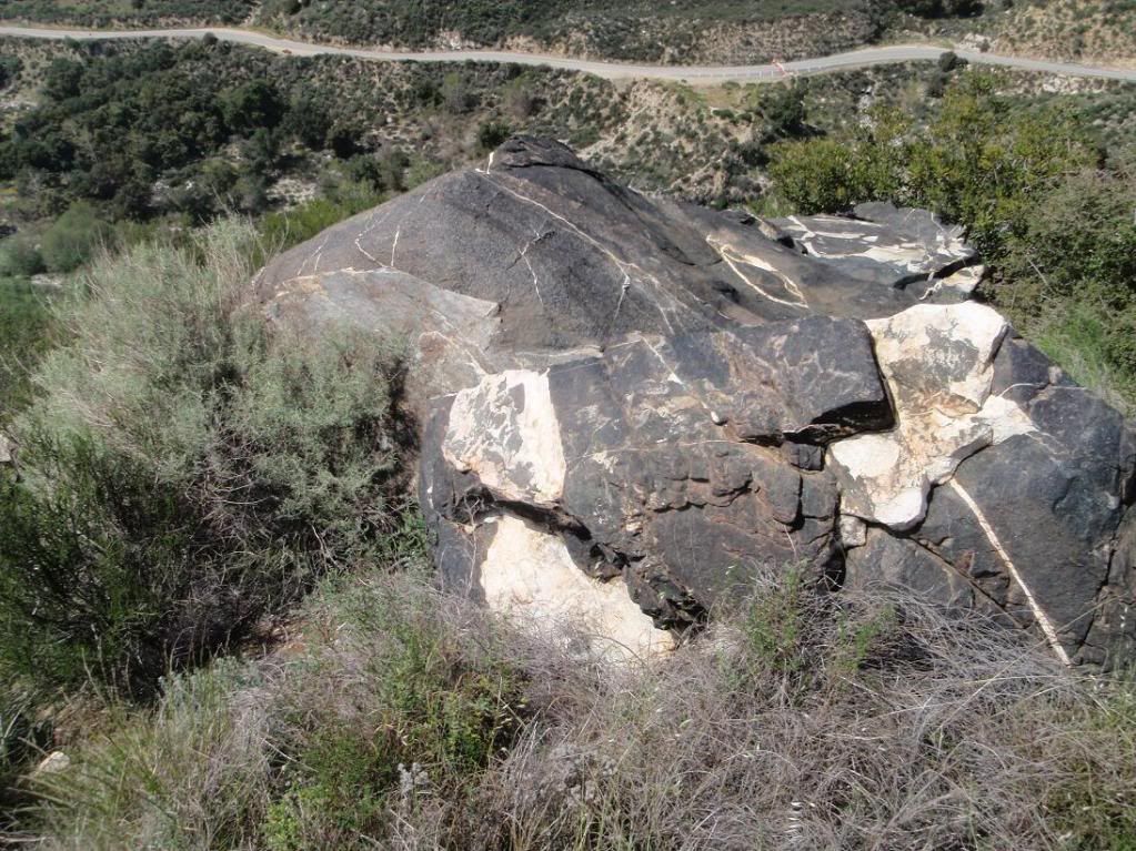
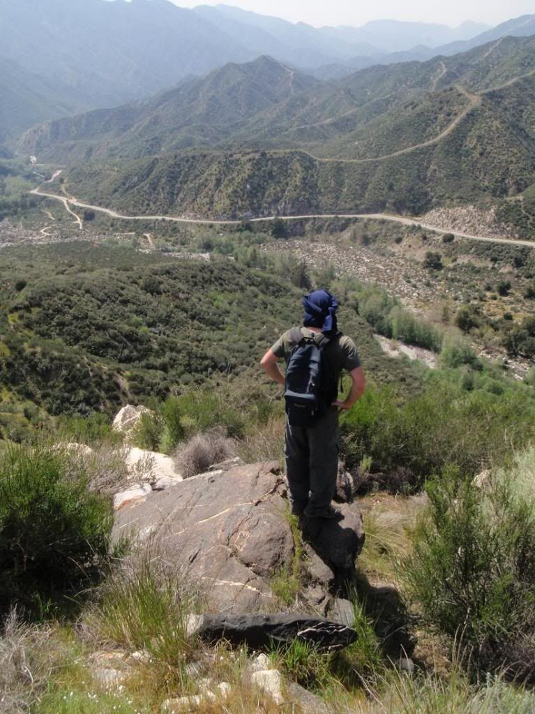
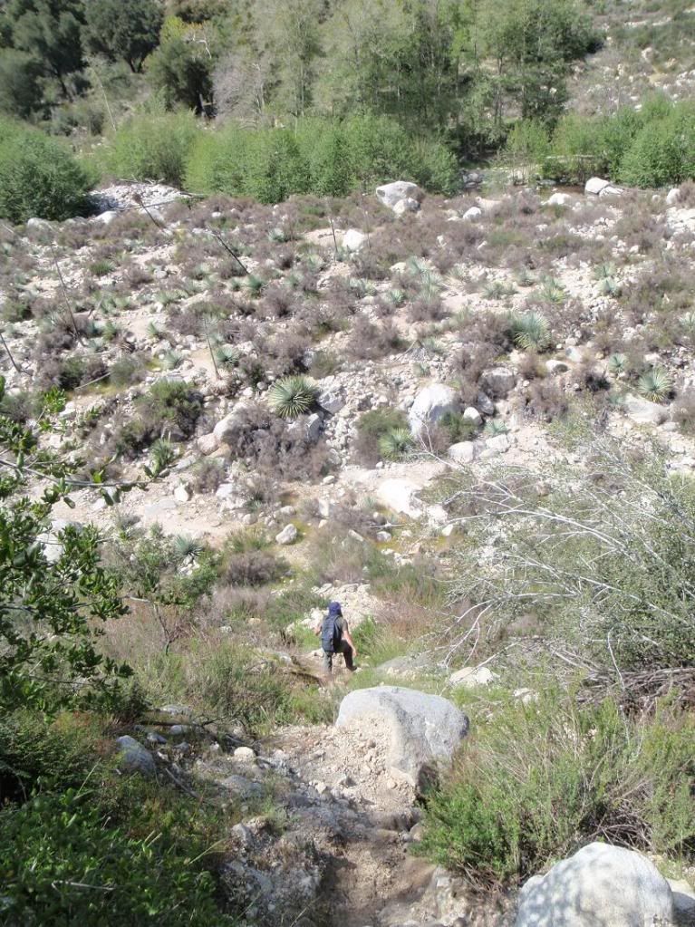
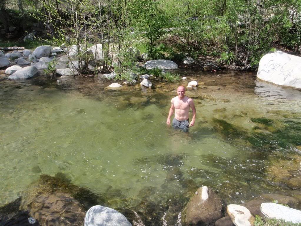
Went out with TacoDelRio for a quick jaunt up Burro Peak. Walking down the embankment to the river and along its shoreline we were confronted with the most disgusting scene: beer bottles, trash bags full of trash, chairs, clothes, towels, gold panning equipment, and yes... at least 3 dirty diapers. WTF!!!!! It was outrageous. Our wilderness is not a single fucking use item! Anyways, the hike was cool, a lot of bush-wacking that gives way to amazing views of the entire west fork of the SG River. Saw lots of wildlife too: 2 horny toads, 2 good sized garter snakes, blue jays, centipede. It was even warm enough out to take a little swim in the river afterwards.

Re: Burro Peak and West Fork of San Gabriel River
Posted: Thu Mar 25, 2010 9:32 am
by Ze Hiker
you swam around dirty diapers?!
Re: Burro Peak and West Fork of San Gabriel River
Posted: Thu Mar 25, 2010 11:35 am
by edenooch
u sound suprised to find all that rubbish

Re: Burro Peak and West Fork of San Gabriel River
Posted: Thu Mar 25, 2010 1:22 pm
by EManBevHills
Does Ryan carry gamma globulin in his 1st aide kit?
Re: Burro Peak and West Fork of San Gabriel River
Posted: Thu Mar 25, 2010 2:43 pm
by Taco
Yeah, gotta update the FAK (First Aide Kit). Seriously. I don't want some nastyass crap in my system simply from swimming there, and I ain't giving up swimming yet.
Too cold for this ice pirate to swim yesterday, but the Canadian got some, and couldn't feel anything afterwards.
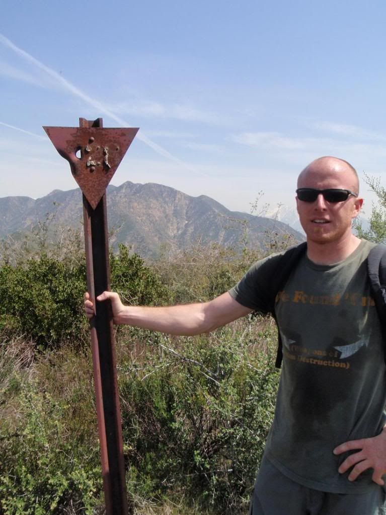
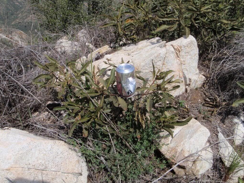
Turns out our highpoint is un-named... we need a name for it. Elevation of the highpoint was 3,585ft. I'm thinking Bichota Mountain, since there's Bichota Mesa and Bichota Canyon at its' foot, and that Bich ota have a name by now.
Pics up soon.
Re: Burro Peak and West Fork of San Gabriel River
Posted: Thu Mar 25, 2010 2:57 pm
by lilbitmo
TacoDelRio wrote:Turns out our highpoint is un-named... we need a name for it. Elevation of the highpoint was 3,585ft. I'm thinking Bichota Mountain, since there's Bichota Mesa and Bichota Canyon at its' foot, and that Bich ota have a name by now.
Pics up soon.
How's that other Bich ota's knee doing?

Good to see you out again, diapers and all

Re: Burro Peak and West Fork of San Gabriel River
Posted: Thu Mar 25, 2010 3:28 pm
by Taco
Re: Burro Peak and West Fork of San Gabriel River
Posted: Thu Mar 25, 2010 4:20 pm
by Elwood
Very nice guys! Thanks for the pictures.
Re: Burro Peak and West Fork of San Gabriel River
Posted: Thu Mar 25, 2010 7:45 pm
by AW~
nice panamora there sir despite having to see the West Fork SG river twice. Looks like Smith is very accessible now from the south. We will get the non-rappel version of Smith East done someday somehow, I dont care if its quadruple closed.
Re: Burro Peak and West Fork of San Gabriel River
Posted: Fri Mar 26, 2010 2:28 am
by Taco
Going down the "Lost Face" on Smith? Should be going UP it!

