20100217 "Chimneyville"
Posted: Wed Feb 17, 2010 3:33 pm
Went out and scouted out an area I haven't been to in a year or so. Similar activity to that thing my buddies and I did in Stockton Flats a while ago. Perhaps some of y'all could educate me on the history of it. There were over a dozen or so structures there (homes), but they were likely destroyed in the Curve Fire.
First, some pics.
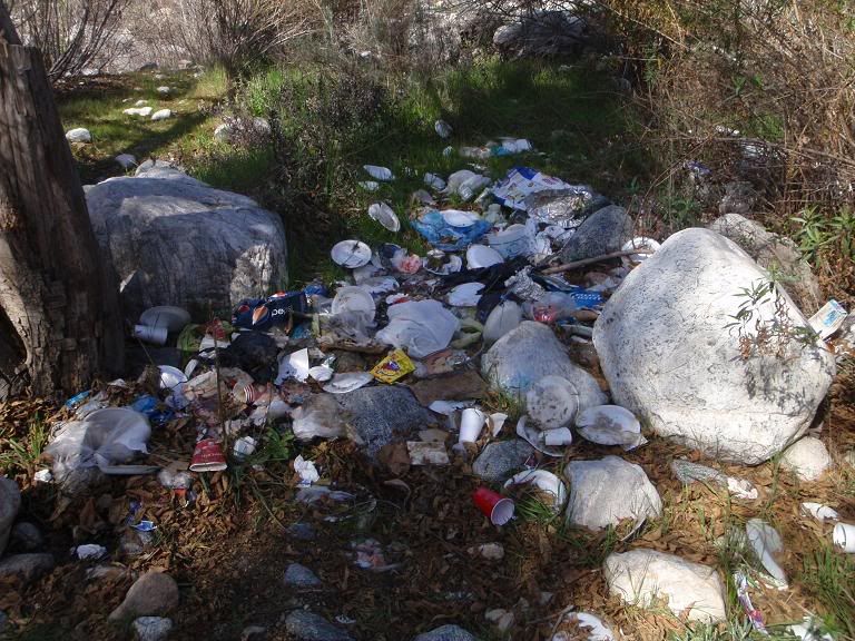
Lots of trash along West Fork near the road.
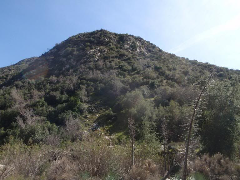
Burro Peak
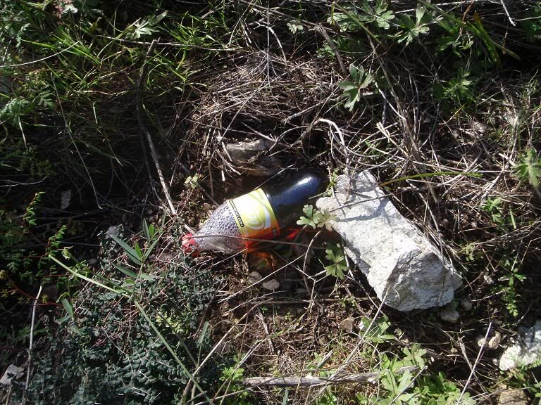
Someone tried hiking straight up Burro Peak's west face (muddy and 45 degrees) recently, I guess.
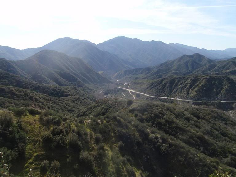
View from on Burro Peak
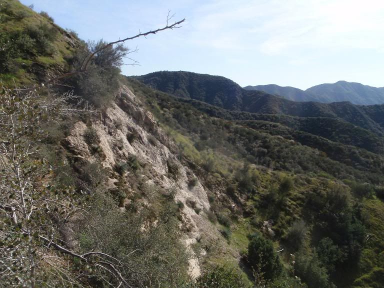
Moving along the side of Burro, trying to reach the firebreak for an easy way up. I gave up on this to go check out other things. Still haven't been up Burro Peak.
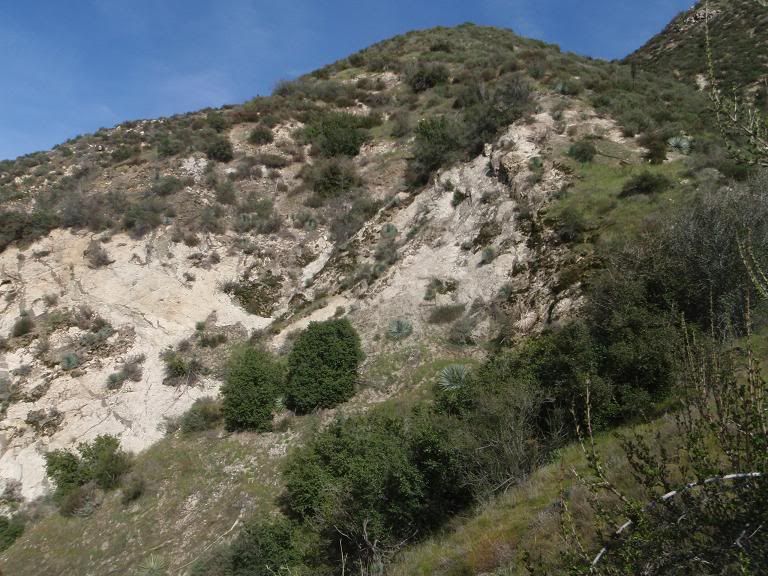
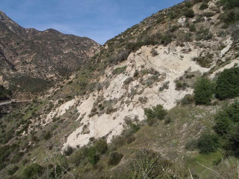
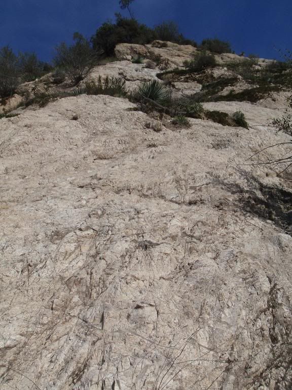
That crag on the southeast side of Burro. Looks solid from far away, but it's messed up. Not steep enough to be fun to climb anyway.
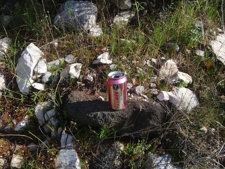
Yay, more trash.
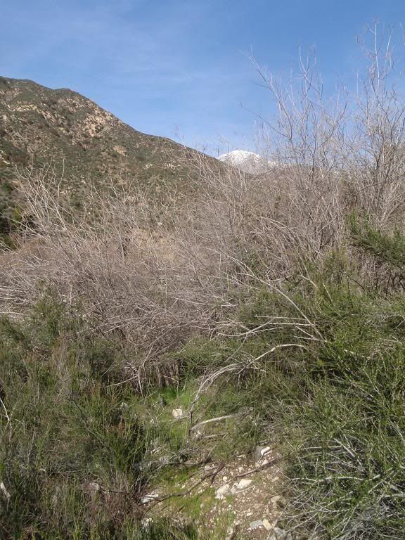
Easy trail out
Now, on to Chimneyville.
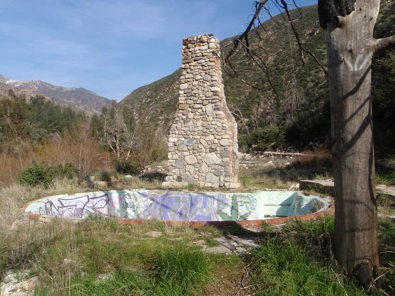
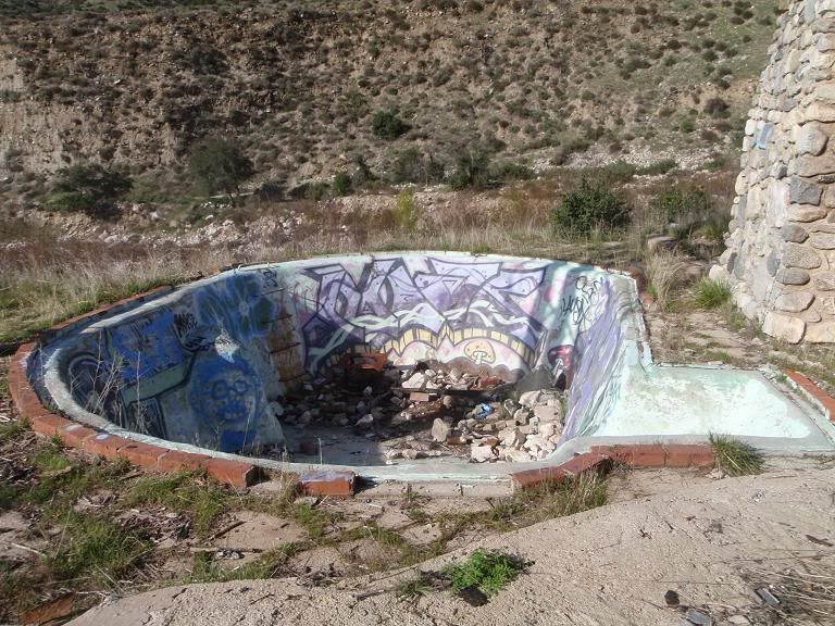
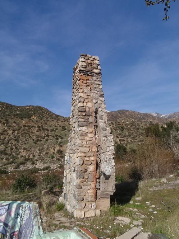
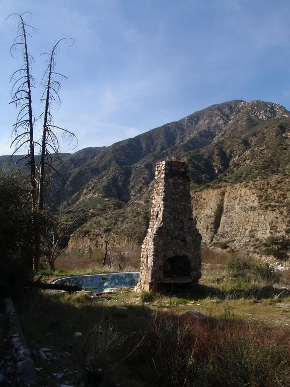
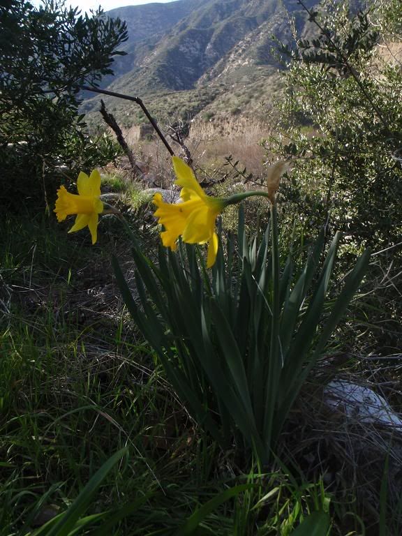
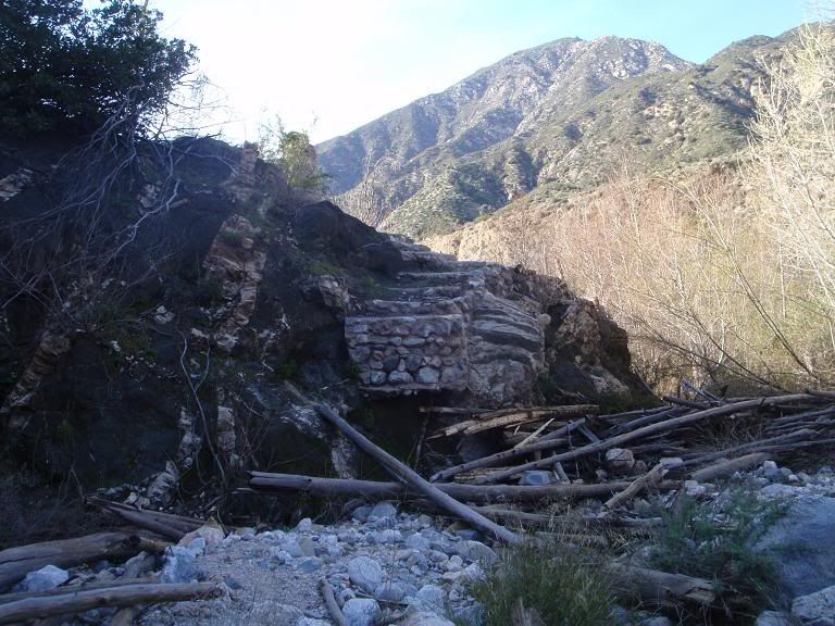
This is the first structure, across the river and southeast of Lower Chimneyville. Nice little pool. Looks like a cool place to stay. Could not find remains of a road heading to it. You can see there was some sort of walkway in the last picture, leading up to what's left of that staircase.
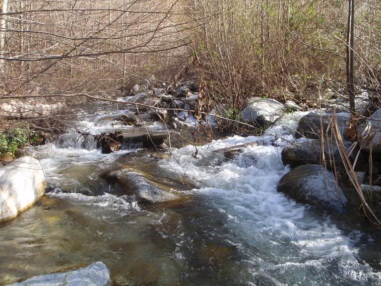
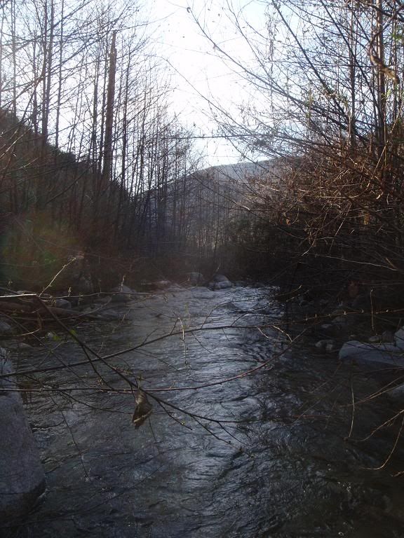
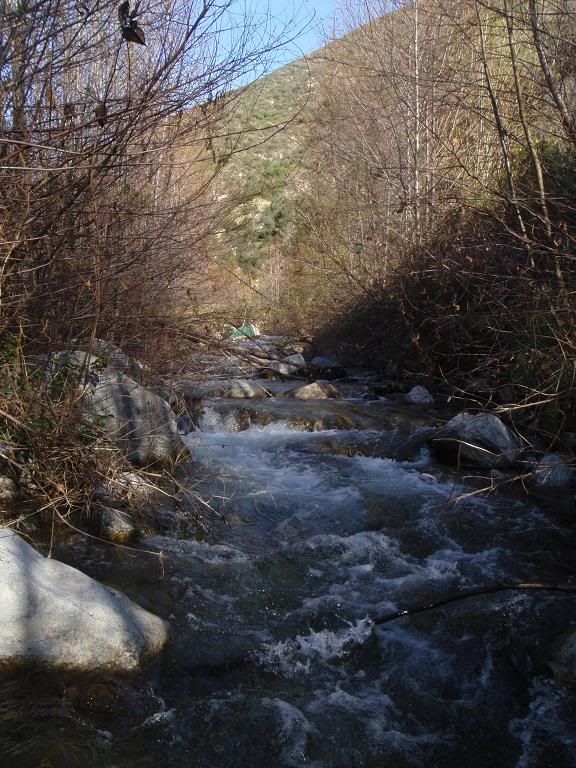
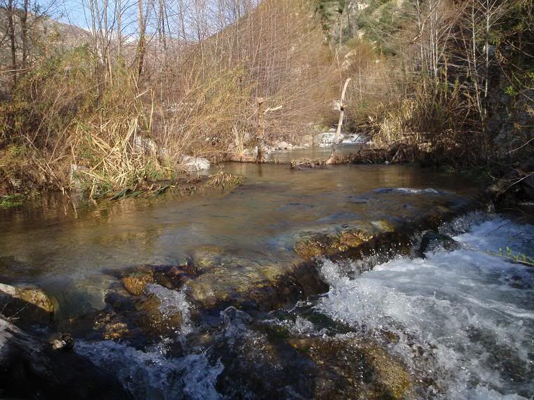
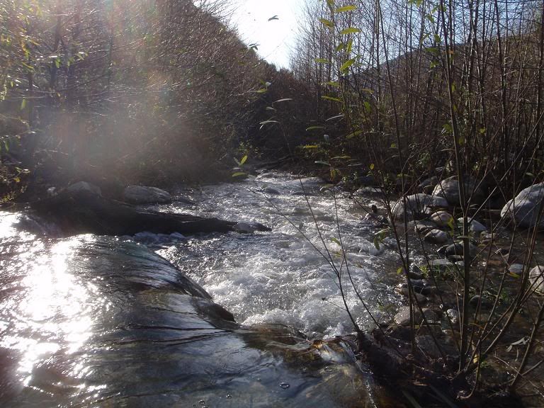
Moving in the river
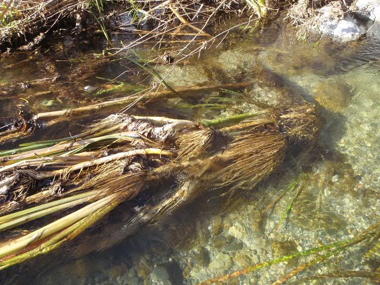
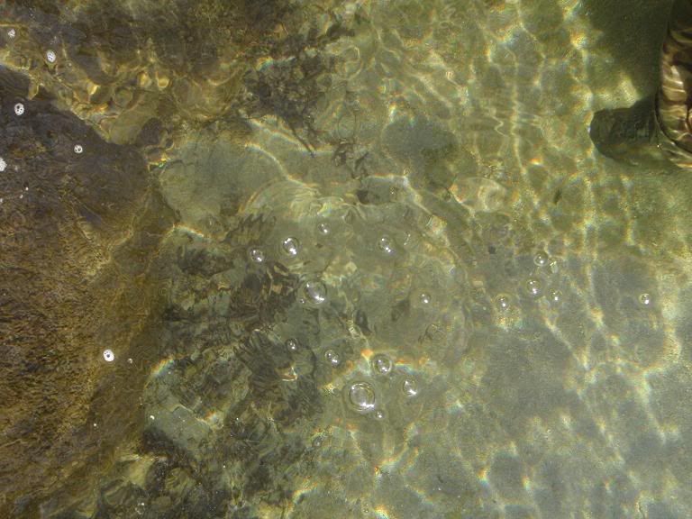
Lotsa silt. There's typical sand in the riverbed, then you'll hit a big bank of silt and sink an additional foot or so into it, while it tries to suck the shoe off your foot. Note bubbles in of 2nd picture, coming out of the layers of silt and leaves in the riverbed.
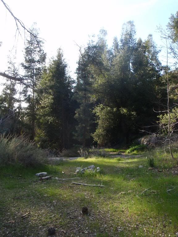
Northern entrance of Lower Chimneyville
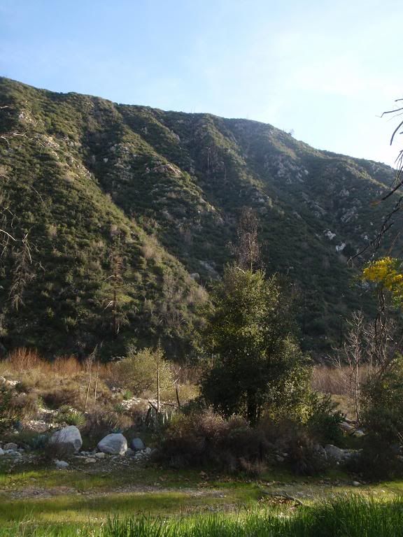
Looking at Burro
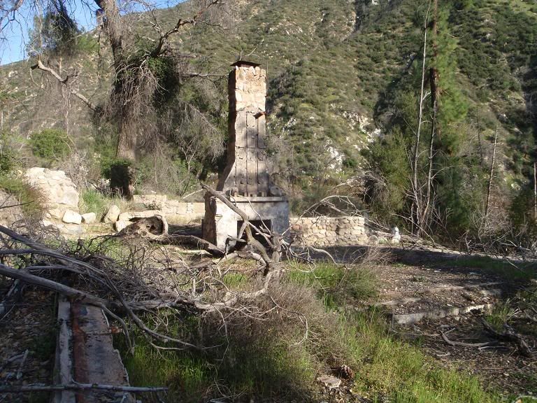
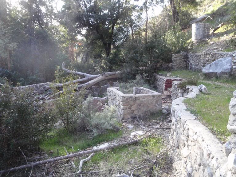
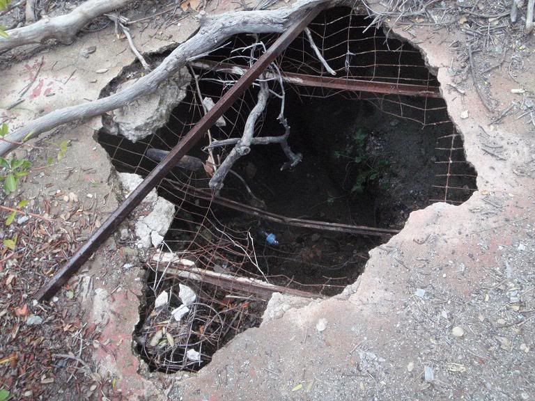
Largest structure
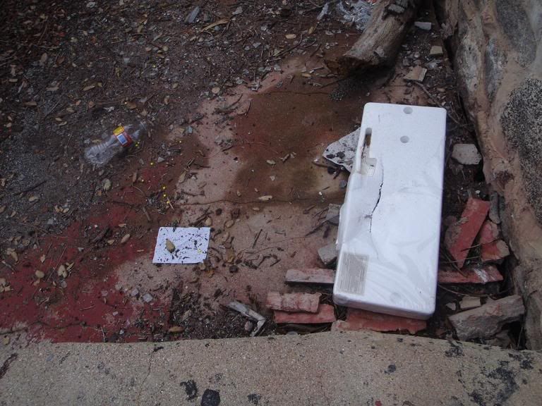
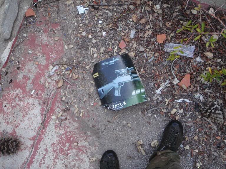
Trash left by people playing with cheap airsoft guns
Moving to Upper Chimneyville...
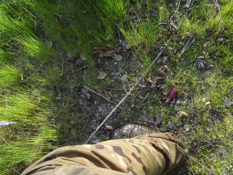
Recent 12ga #7-8 shells
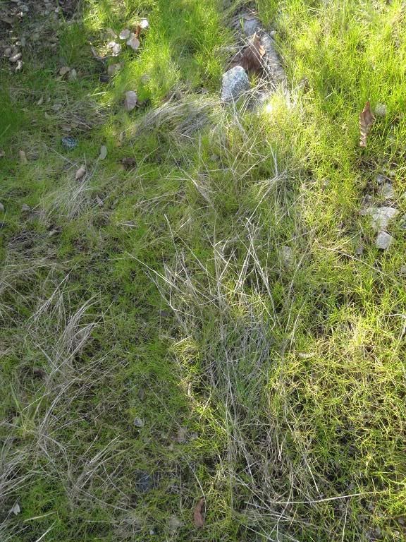
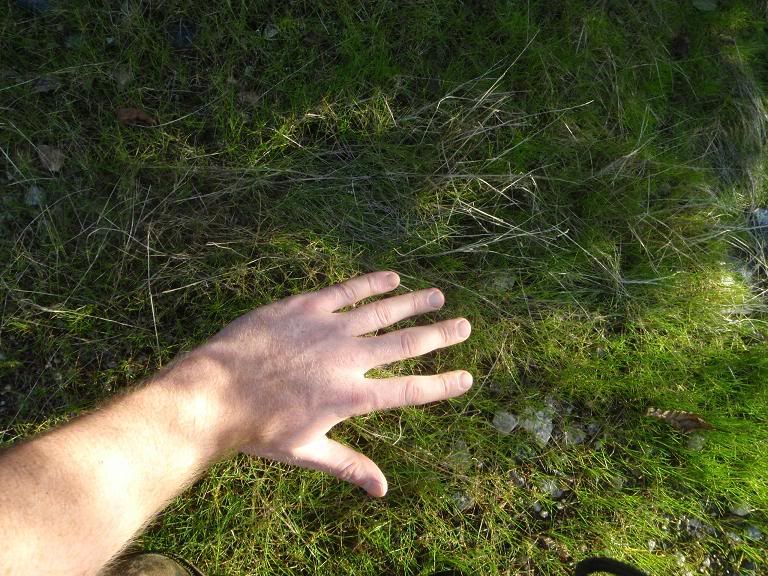
TRACKERS! Cougarmagic, can you ID that track next to my hand?
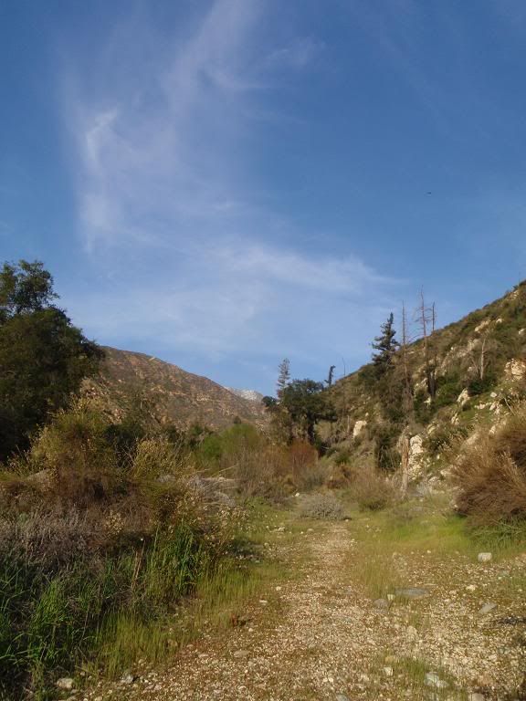
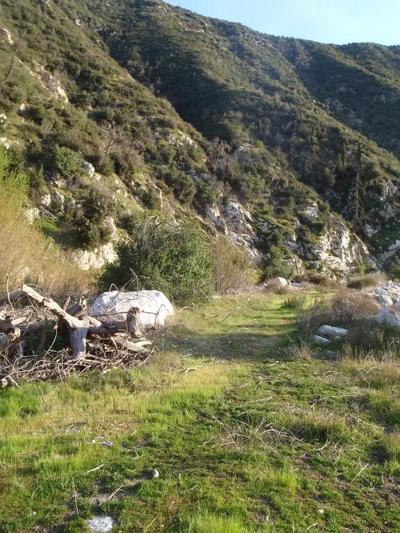
Vehicle road to Upper Chimneyville
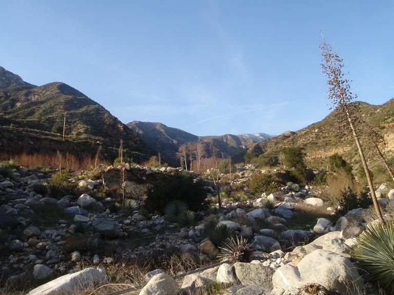
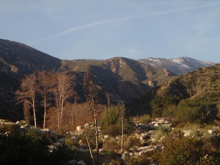
View north
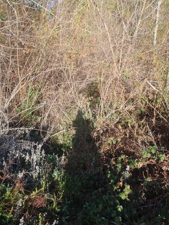
Southern entrance to Upper Chimneyville, more overgrown than ever.
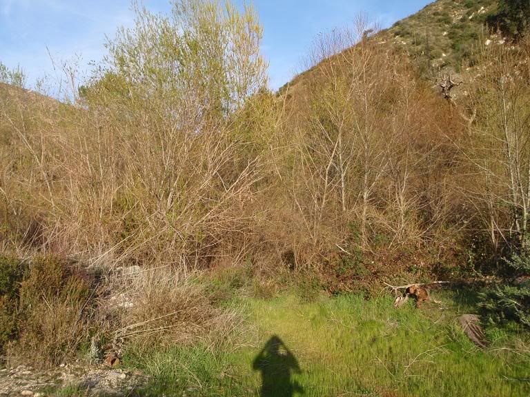
North of Upper Chimneyville
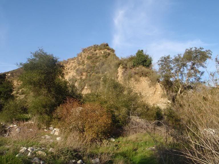
"Battleship Point", tip of "Battleship Mesa", steep on 2 sides, easy access available through a single small gully. Got lost on it one night. Only 1 good way down.
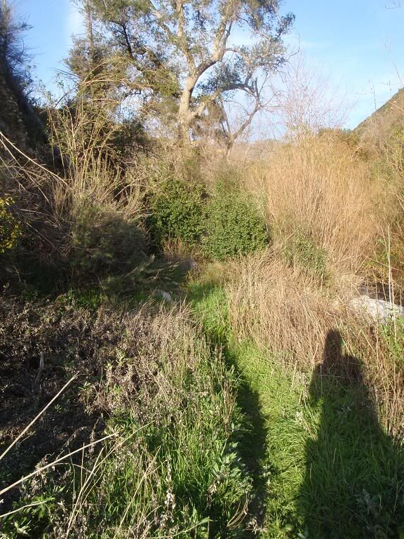
Trail to 3 structures on the north side of Bichota branch of West Fork
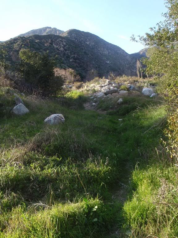
Trail heading north
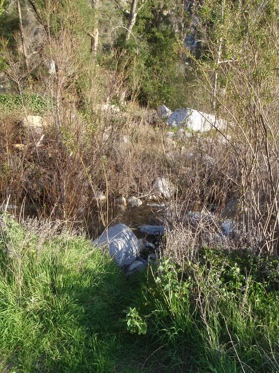
North Entrance to Upper Chimneyville
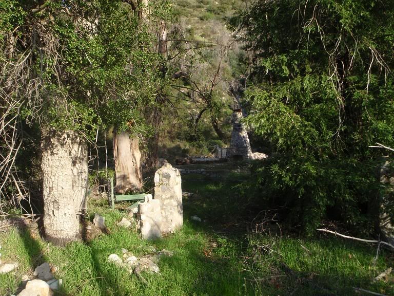
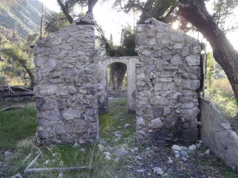
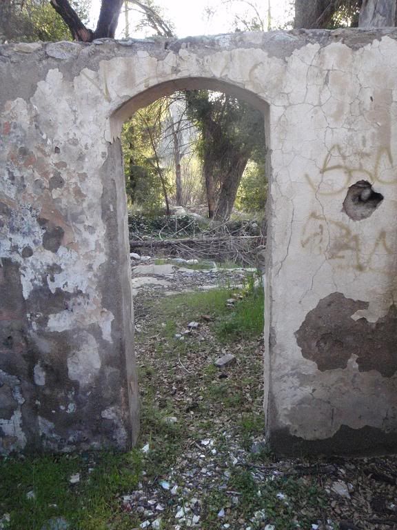
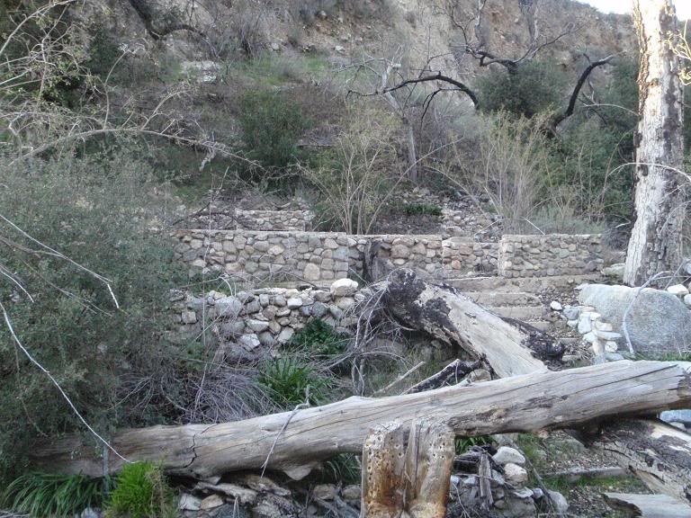
Upper Chimneyville
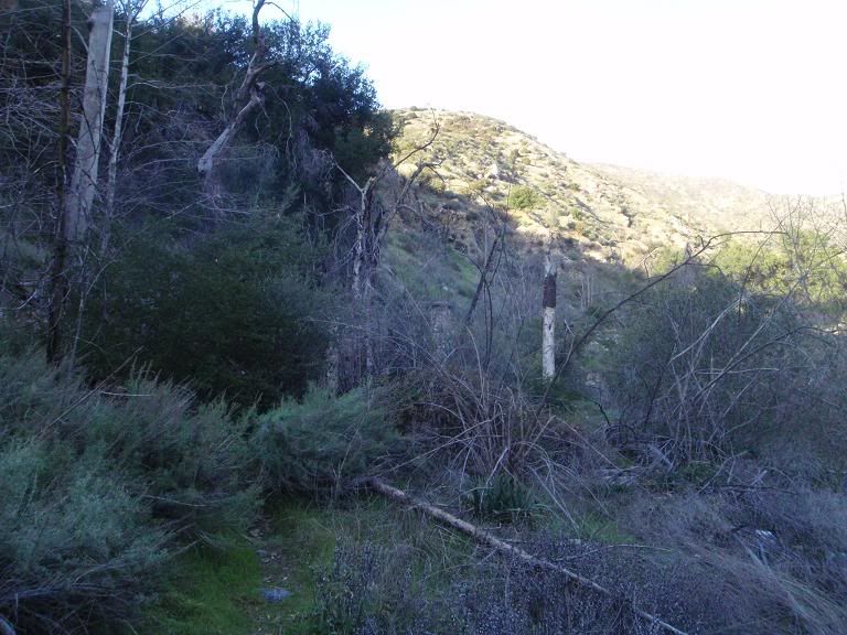
On the north side of the creek
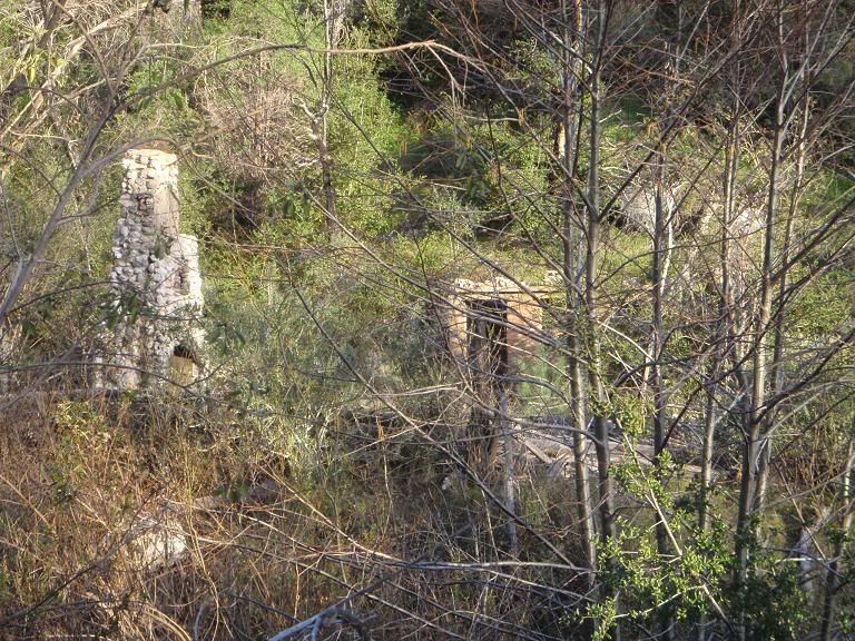
Looking at a few structures on the other side
Headed back home to get back to the car before anyone could vandalize it at night.
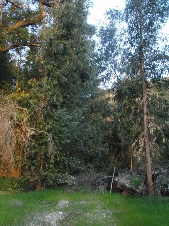
The main drag in Lower Chimneyville.
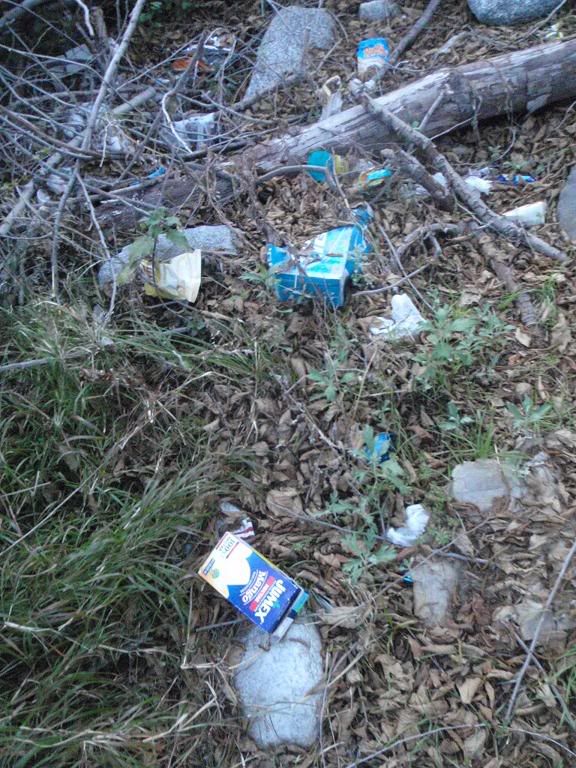
More trash along West Fork.
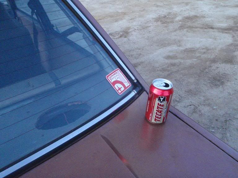
Someone left a beer on my car. I'm just glad nobody broke out the windows like one of the other times I parked near here.
So, anyone know anything about this little village along the river? It's at the mouth of Bichota Canyon, where it hits West Fork.
First, some pics.

Lots of trash along West Fork near the road.

Burro Peak

Someone tried hiking straight up Burro Peak's west face (muddy and 45 degrees) recently, I guess.

View from on Burro Peak

Moving along the side of Burro, trying to reach the firebreak for an easy way up. I gave up on this to go check out other things. Still haven't been up Burro Peak.


That crag on the southeast side of Burro. Looks solid from far away, but it's messed up. Not steep enough to be fun to climb anyway.

Yay, more trash.

Easy trail out
Now, on to Chimneyville.


This is the first structure, across the river and southeast of Lower Chimneyville. Nice little pool. Looks like a cool place to stay. Could not find remains of a road heading to it. You can see there was some sort of walkway in the last picture, leading up to what's left of that staircase.


Moving in the river


Lotsa silt. There's typical sand in the riverbed, then you'll hit a big bank of silt and sink an additional foot or so into it, while it tries to suck the shoe off your foot. Note bubbles in of 2nd picture, coming out of the layers of silt and leaves in the riverbed.

Northern entrance of Lower Chimneyville

Looking at Burro


Largest structure


Trash left by people playing with cheap airsoft guns
Moving to Upper Chimneyville...

Recent 12ga #7-8 shells


TRACKERS! Cougarmagic, can you ID that track next to my hand?


Vehicle road to Upper Chimneyville


View north

Southern entrance to Upper Chimneyville, more overgrown than ever.

North of Upper Chimneyville

"Battleship Point", tip of "Battleship Mesa", steep on 2 sides, easy access available through a single small gully. Got lost on it one night. Only 1 good way down.

Trail to 3 structures on the north side of Bichota branch of West Fork

Trail heading north

North Entrance to Upper Chimneyville


Upper Chimneyville

On the north side of the creek

Looking at a few structures on the other side
Headed back home to get back to the car before anyone could vandalize it at night.

The main drag in Lower Chimneyville.

More trash along West Fork.

Someone left a beer on my car. I'm just glad nobody broke out the windows like one of the other times I parked near here.
So, anyone know anything about this little village along the river? It's at the mouth of Bichota Canyon, where it hits West Fork.


