Bedford Peak 2010-01-02
Posted: Sun Jan 03, 2010 9:37 am
We hiked Bedford Peak in the Santa Ana Mountains Saturday.
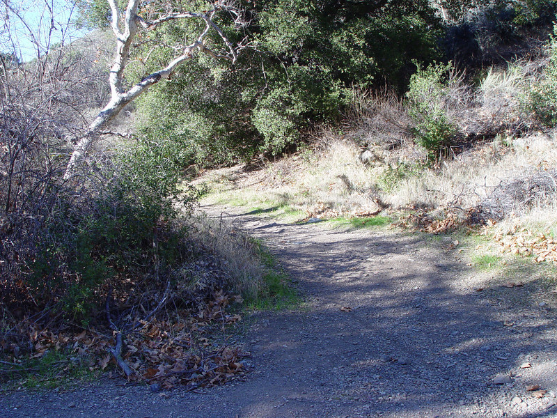
The unmarked trail begins off Maple Springs Road and is shown on topo maps as the Silverado Motorway.
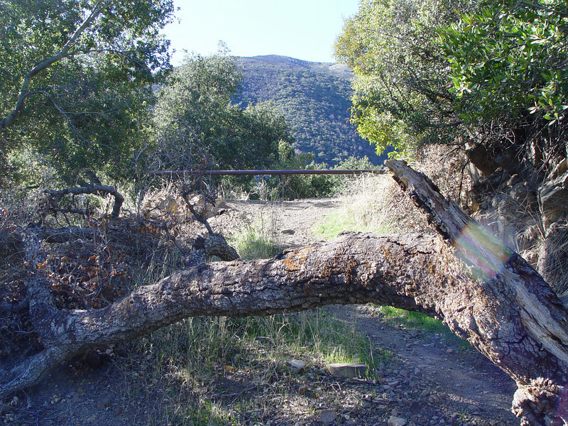
The last vehicle traffic here must have been 50 years ago. A couple of barriers and a downed tree prevent motorized access.
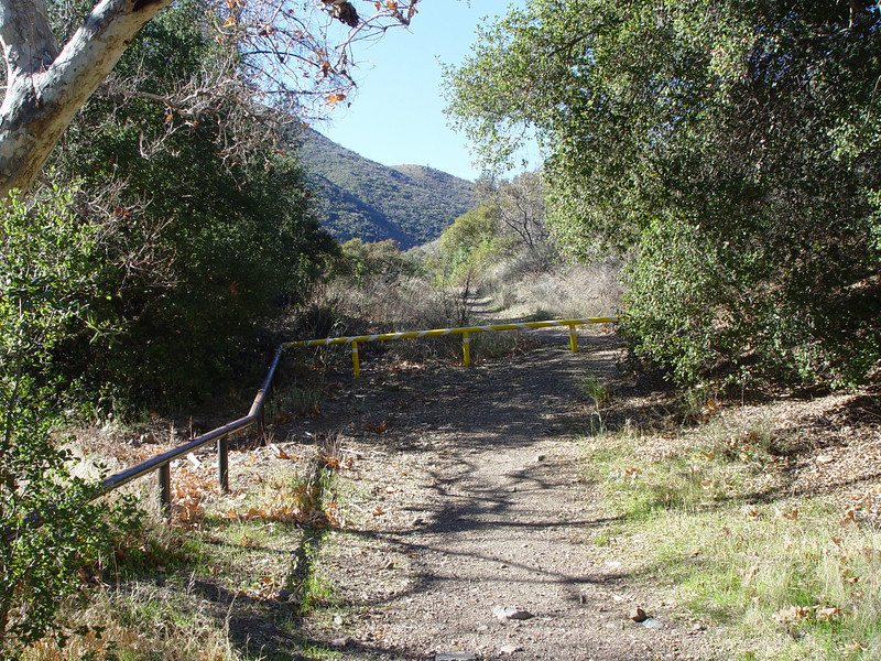
The road bed has not been maintained and is impassible in several spots anyway.
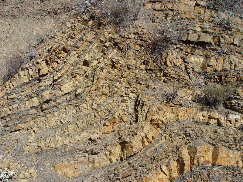
This area has seen some geologic activity as evidenced by the bent rock layers.
The day was pretty clear. As we got higher the views across Orange County and out to San Clemente and Catalina were great.
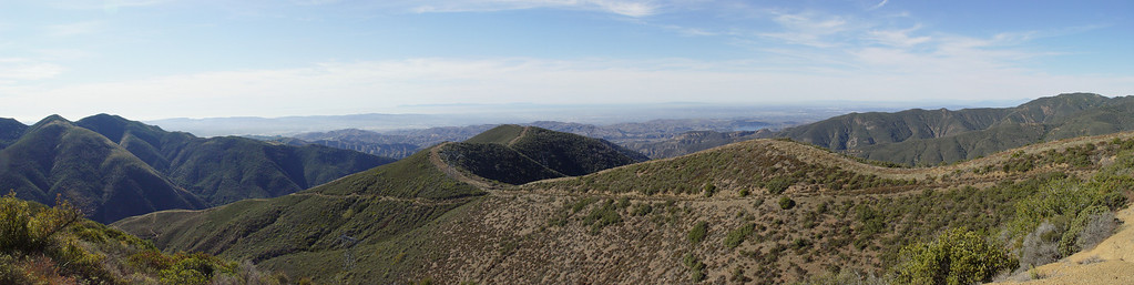
Digital cameras don't cut through the haze that well. The eye sees more than the camera can capture. It does not show in the pictures, but we did get a glimpse of Santa Barbara Island 86 miles distant.
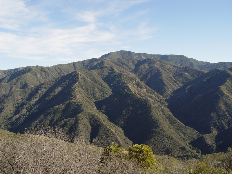
Modjeska and Santiago Peaks loomed to the south.
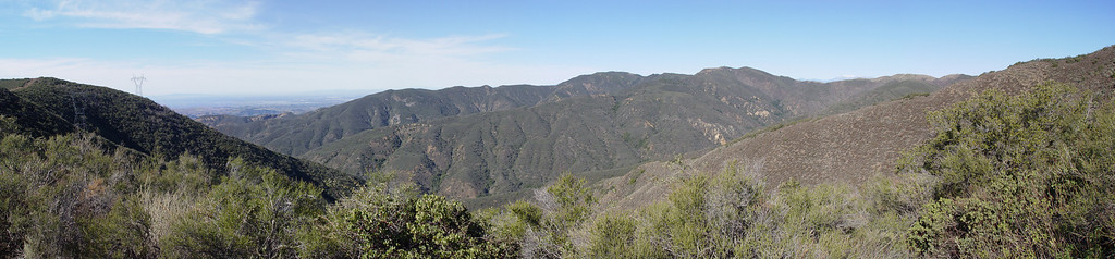
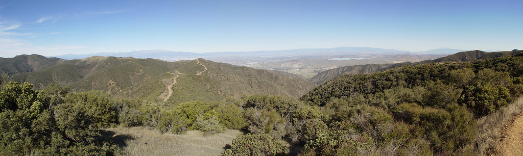
The northern end of the Santa Anas.
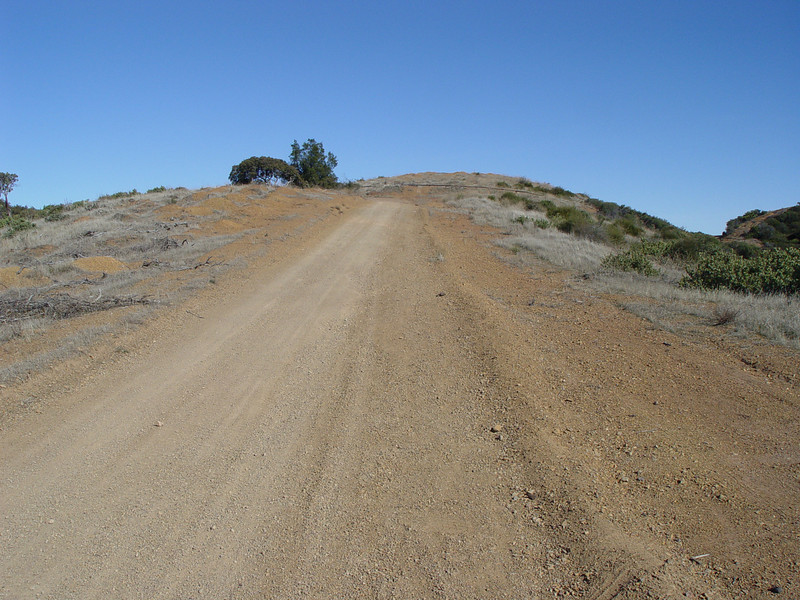
Near the top of Bedford Peak, we reach the Main Divide Road which is surprisingly well maintained.
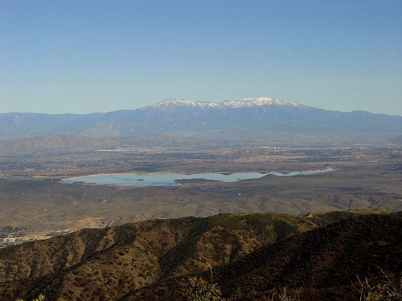
A sweeping view to the east shows Baldy, Gorgonio, and Jacinto.
San Gorgonio with Lake Matthews.
The unmarked trail begins off Maple Springs Road and is shown on topo maps as the Silverado Motorway.
The last vehicle traffic here must have been 50 years ago. A couple of barriers and a downed tree prevent motorized access.
The road bed has not been maintained and is impassible in several spots anyway.
This area has seen some geologic activity as evidenced by the bent rock layers.
The day was pretty clear. As we got higher the views across Orange County and out to San Clemente and Catalina were great.
Digital cameras don't cut through the haze that well. The eye sees more than the camera can capture. It does not show in the pictures, but we did get a glimpse of Santa Barbara Island 86 miles distant.
Modjeska and Santiago Peaks loomed to the south.
The northern end of the Santa Anas.
Near the top of Bedford Peak, we reach the Main Divide Road which is surprisingly well maintained.
A sweeping view to the east shows Baldy, Gorgonio, and Jacinto.
San Gorgonio with Lake Matthews.