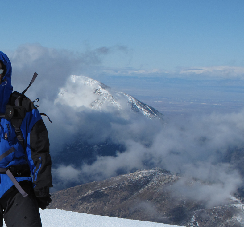
Mt. San Antonio - Sunday December 13, 2009
Posted: Sun Dec 13, 2009 4:04 pm
My buddy Mark and I visited the summit of Old Baldy this morning. It was GORGEOUS!. I'll post more pictures and a more detailed report tomorrow.
Updated Report Follows:
We headed up from Wanker at 0645 PST. Local temperature was around 32F. There were a few sets of tracks in the snow ahead of us, one or two or had already turned around. A little ways below the ski hut, I started getting nervous; it was time for the crampons. Mark chatted with a couple of folks at the hut and it was time to grab some calories before proceeding. After crossing the stream bed, we headed straight up to the ridge, bypassing the switchbacks on 7W02 (doesn't count, trail was well protected under snow and ice!). The pictures tell the rest of the story better than any of my blather. Suffice it to say, it was very windy on the summit. There were lots of folks ascending the now slushy trail below Jabba as we descended, returning to the Jeep around 1330.
Mark has been generous enough to link his pictures too!
http://www.flickr.com/photos/8080049@N0 ... 872123087/
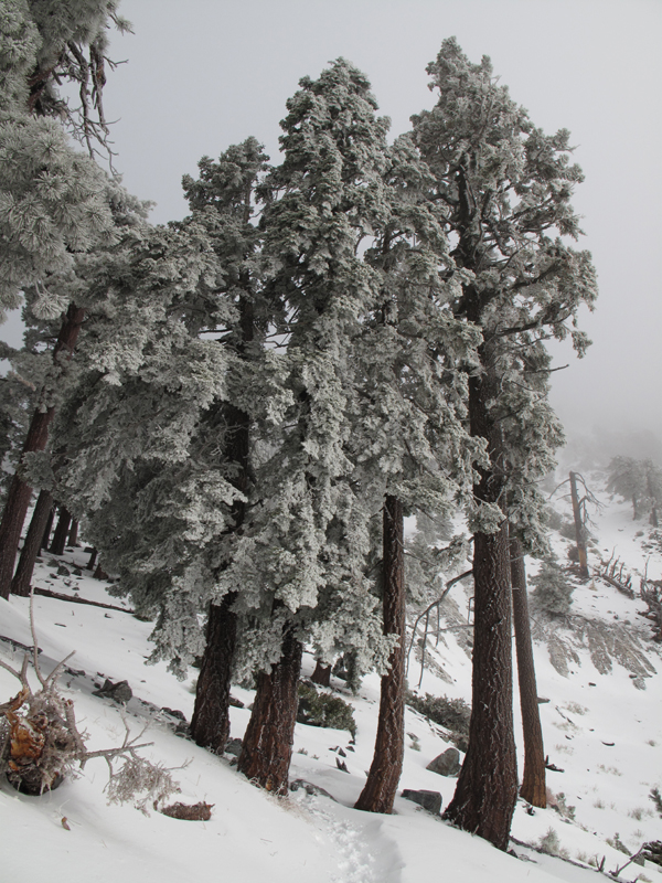
General conditions on the trail, below the ski hut.
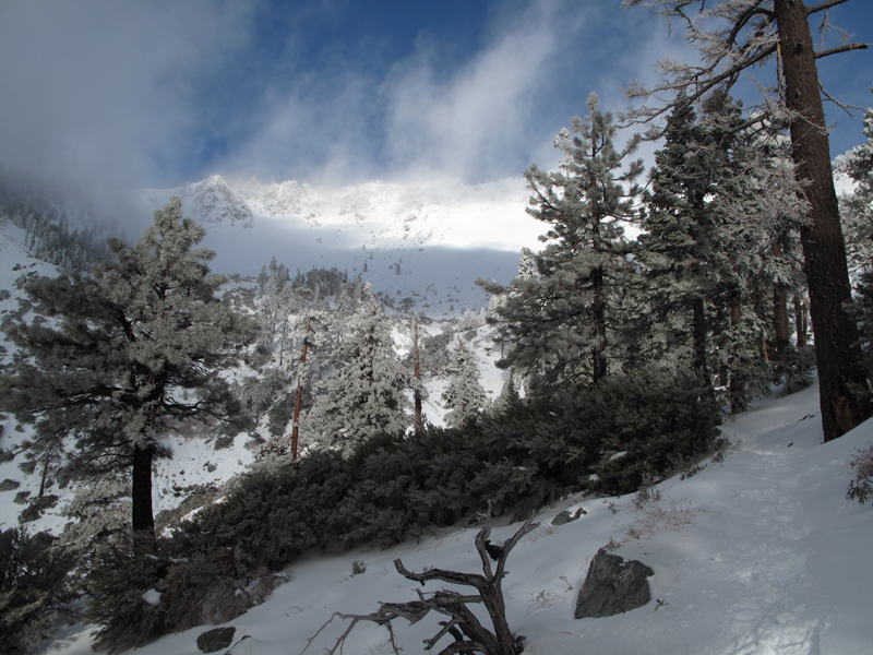
View towards the ridge above Gold Ridge Mine.
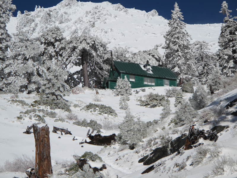
Jabba the ski hut.
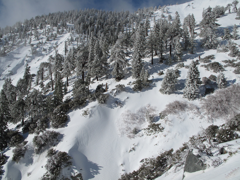
Another general view from just above the hut.
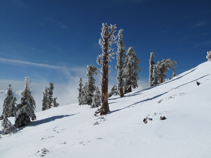
The sky was a beautiful shade of blue above the clouds.
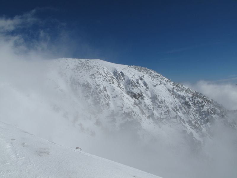
Looking across the bowl at Mt. Baldy.
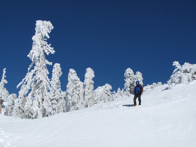
Mark, a little ways below the summit.
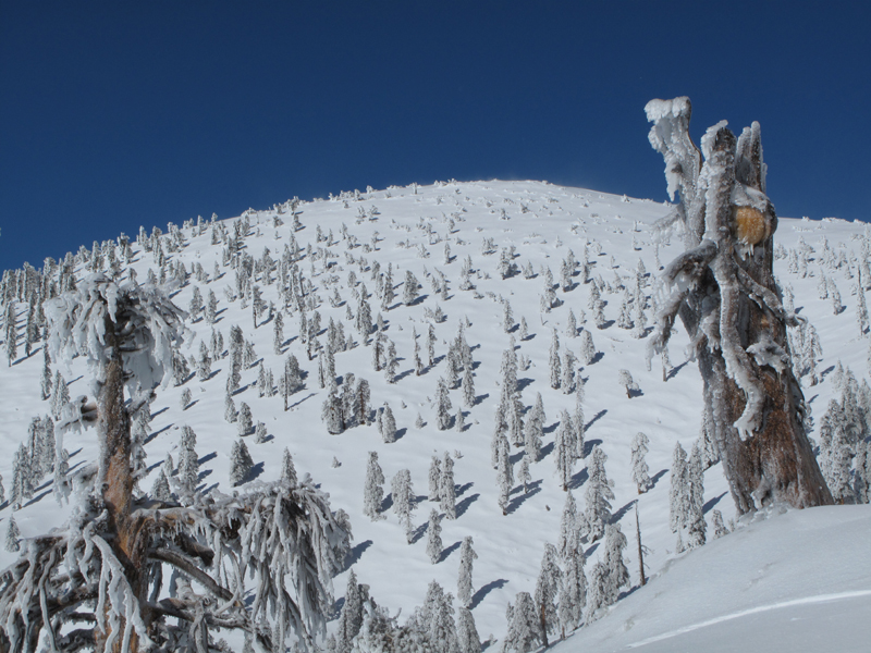
Looking up towards West Baldy.
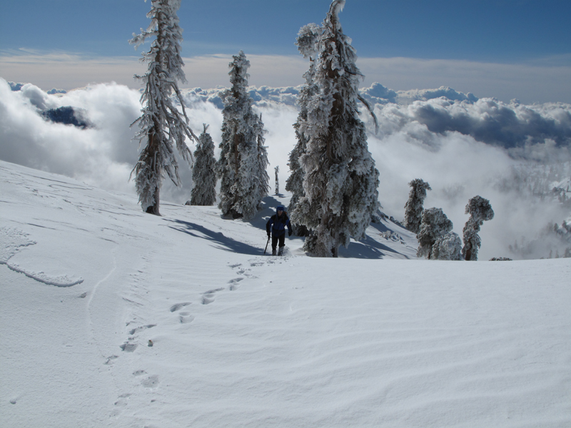
Mark coming up the ridge. Don't let the picture fool you; He was ahead of me most of the way.
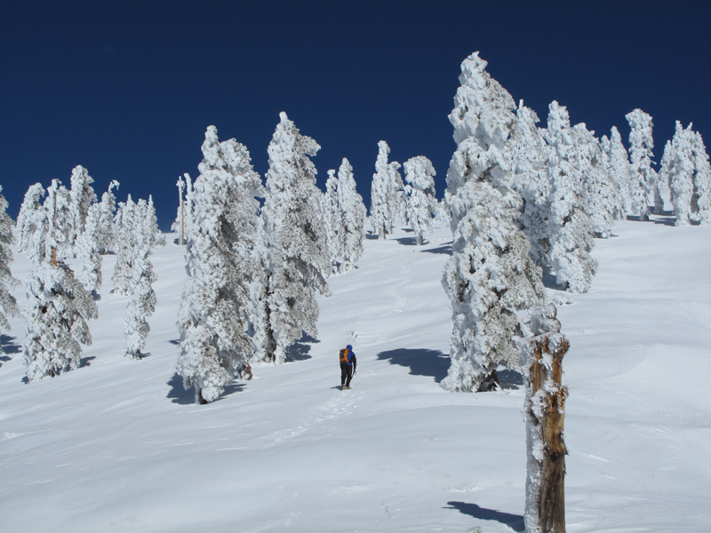
The snow and ice couldn't have been any better for crampons.
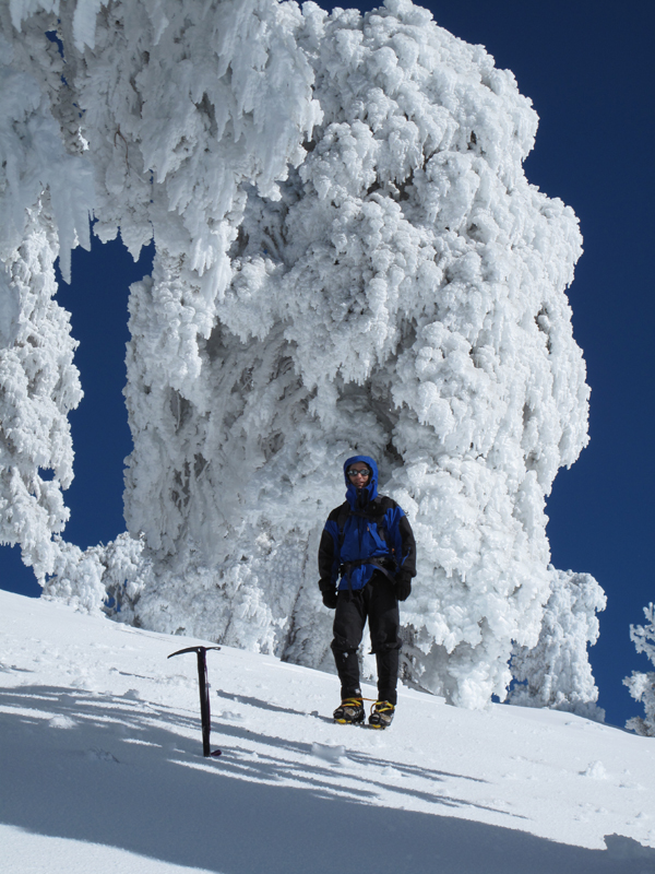
Mark, and snow/ice - covered trees near the summit.
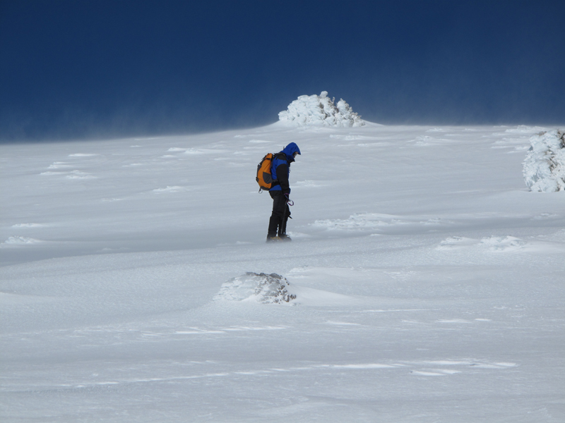
It started getting windy as we neared the top.
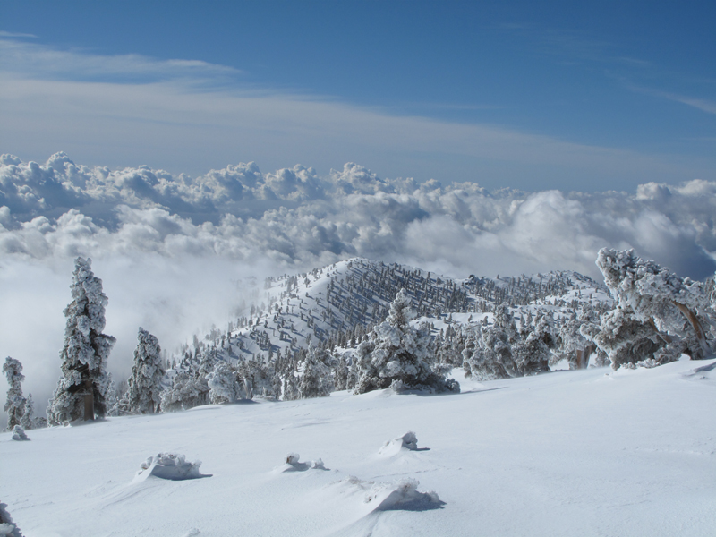
Looking down on the clouds from Old Baldy.
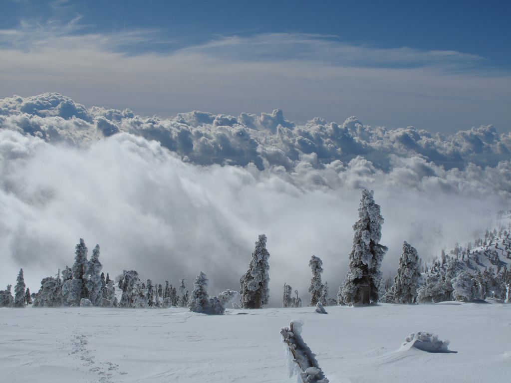
Same viewpoint, facing more towards the east.
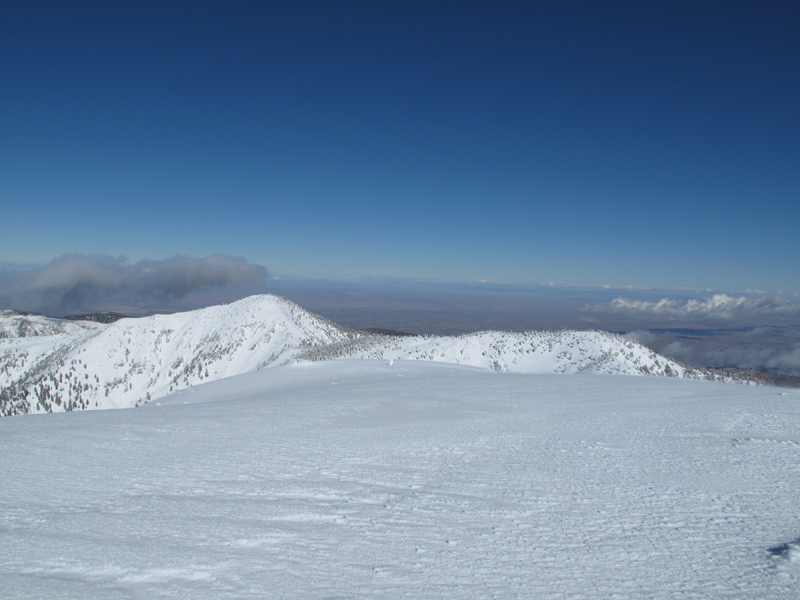
The view towards Dawson, Pine and the High Desert.
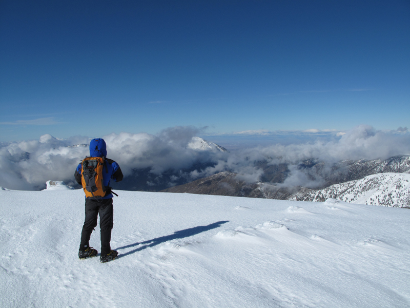
The view towards Mark, Iron and Baden-Powell.
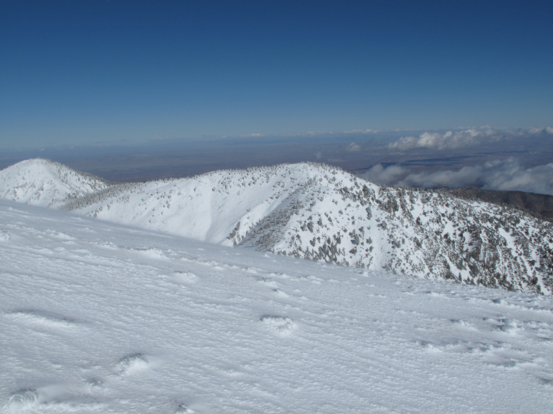
Mt. Dawson, with Baldy in the Foreground.
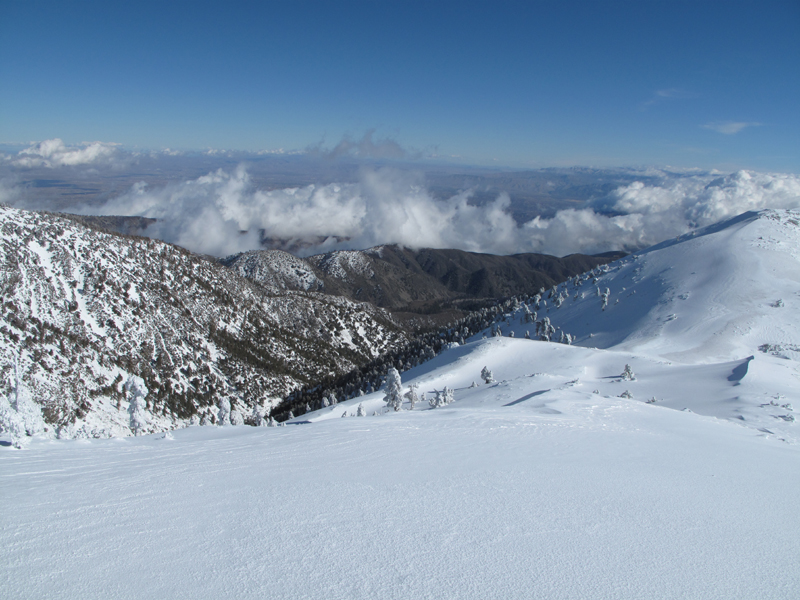
Looking towards Stockton Flat, descending the backbone.
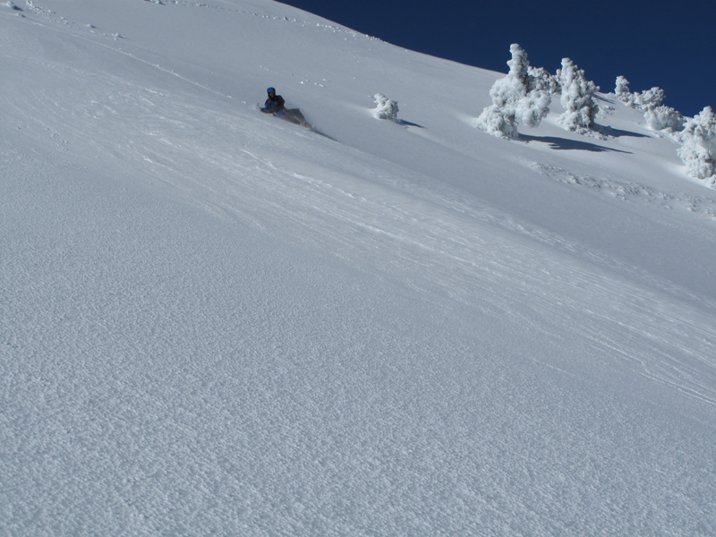
Perfect conditions for glissade.
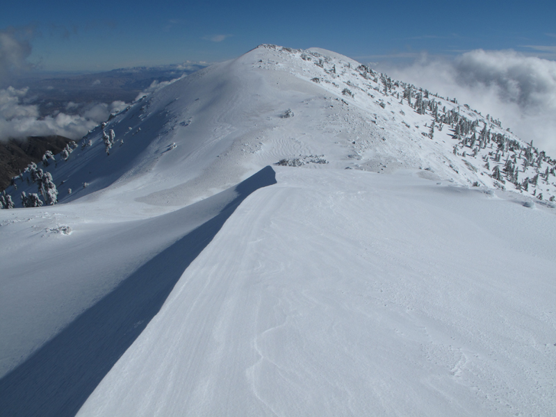
Looking down the Devil's Backbone.
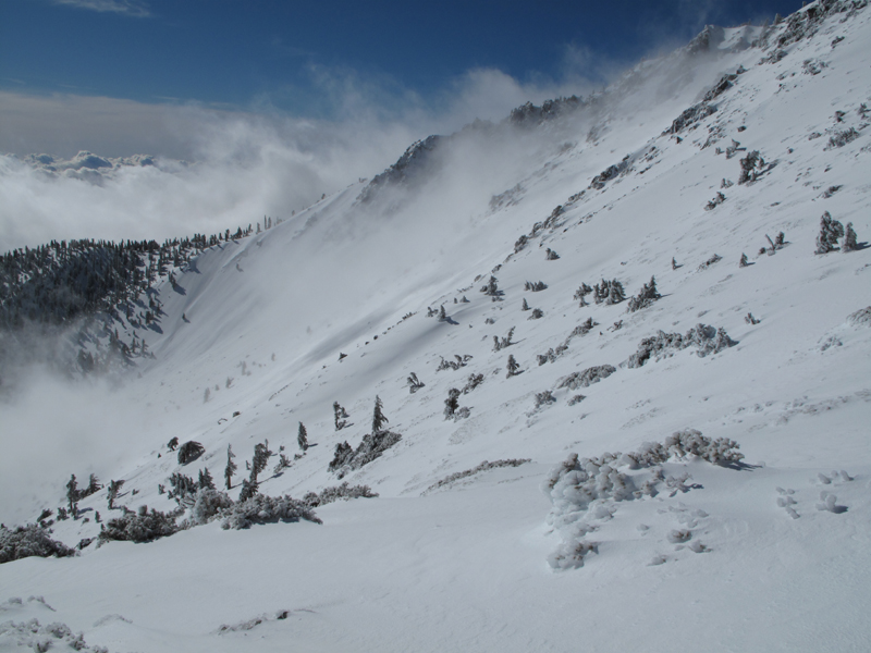
Looking across the bowl and at our route down.
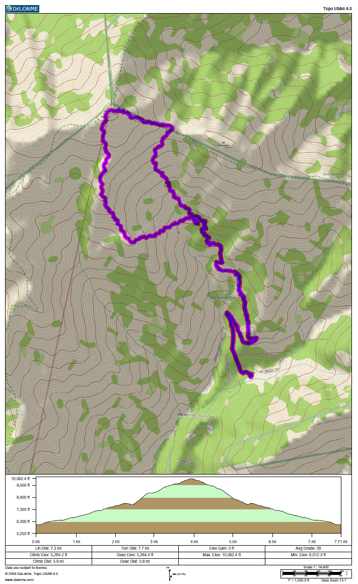
Approximate GPS track and elevation profile; GPS batteries croaked around the hut and I didn't feel like changing them.
Updated Report Follows:
We headed up from Wanker at 0645 PST. Local temperature was around 32F. There were a few sets of tracks in the snow ahead of us, one or two or had already turned around. A little ways below the ski hut, I started getting nervous; it was time for the crampons. Mark chatted with a couple of folks at the hut and it was time to grab some calories before proceeding. After crossing the stream bed, we headed straight up to the ridge, bypassing the switchbacks on 7W02 (doesn't count, trail was well protected under snow and ice!). The pictures tell the rest of the story better than any of my blather. Suffice it to say, it was very windy on the summit. There were lots of folks ascending the now slushy trail below Jabba as we descended, returning to the Jeep around 1330.
Mark has been generous enough to link his pictures too!
http://www.flickr.com/photos/8080049@N0 ... 872123087/

General conditions on the trail, below the ski hut.

View towards the ridge above Gold Ridge Mine.

Jabba the ski hut.

Another general view from just above the hut.

The sky was a beautiful shade of blue above the clouds.

Looking across the bowl at Mt. Baldy.

Mark, a little ways below the summit.

Looking up towards West Baldy.

Mark coming up the ridge. Don't let the picture fool you; He was ahead of me most of the way.

The snow and ice couldn't have been any better for crampons.

Mark, and snow/ice - covered trees near the summit.

It started getting windy as we neared the top.

Looking down on the clouds from Old Baldy.

Same viewpoint, facing more towards the east.

The view towards Dawson, Pine and the High Desert.

The view towards Mark, Iron and Baden-Powell.

Mt. Dawson, with Baldy in the Foreground.

Looking towards Stockton Flat, descending the backbone.

Perfect conditions for glissade.

Looking down the Devil's Backbone.

Looking across the bowl and at our route down.

Approximate GPS track and elevation profile; GPS batteries croaked around the hut and I didn't feel like changing them.
