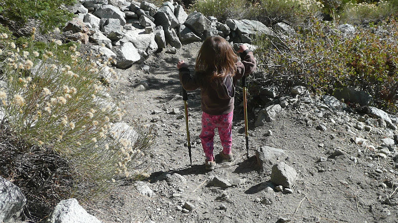
There was some discussion recently about water sources near the San Antonio ski hut. I went up there yesterday to refresh my memory and take some photos.
Full Trip Report here.
It was also "old home week" of sorts: I ran into Yeti (Jeff), Shin, Asbufra, Patrick, Norma, and JeffH who are all people who post on the local internet forums or Facebook.
Here's the scoop:
There are
three sources of water near the ski hut. Take a look at
this satellite photo.
A is a spring before you reach the ski hut. The position of "A" is approximate.
B is the gully you cross before you reach the ski hut
C is San Antonio Creek which is just slightly past where you would turn off the main trail to get to the ski hut.
D is San Antonio ski hut itself
E is the relatively shallow gully east of the ski hut. If you look carefully just a bit to the left (west) of point "E," you can see the ski hut's outhouse.
DETAILS OF WATER SOURCES
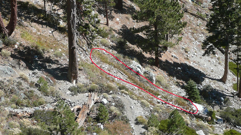
As you ascend from Manker Flats, you will first cross the small trickle that is the outflow from spring at point "A" on the satellite photo.
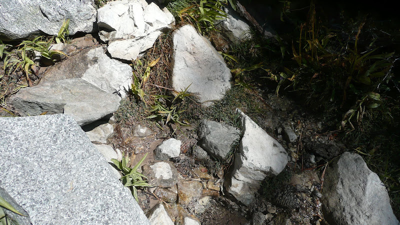
There's not a lot of water, but it is flowing. I feel pretty comfortable drinking from this source untreated.
After passing the water from the spring, you'll climb a bit more and very quickly cross a small gully which is flowing reasonably well, not a lot, but more than the spring. This is marked as point "B" on the satellite photo.
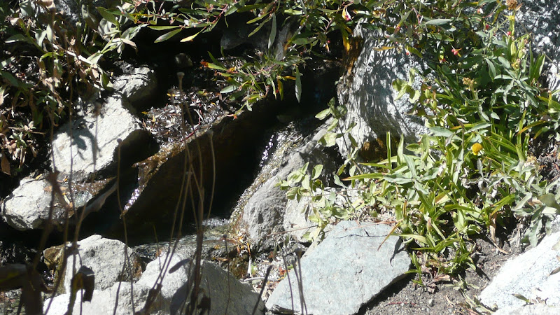
I feel somewhat
uncomfortable drinking from this source untreated, but more on that later.
Finally, you'll climb a bit more until you draw more or less abreast of the ski hut which you'll see from the main Baldy Bowl Trail off to your right (east) as you ascend.
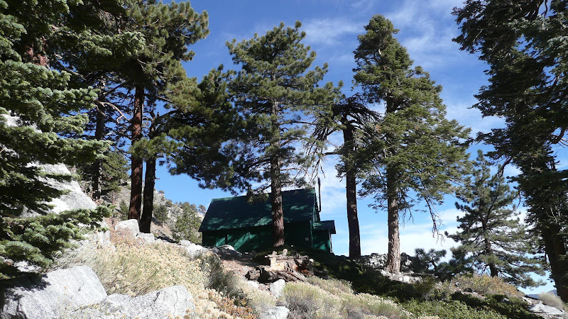
Just past where you'd turn off to go to the ski hut, you'll cross a fairly major drainage which is flowing better than either of the other two water sources.
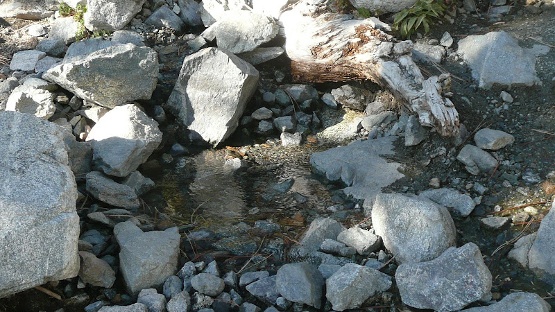
This is San Antonio Creek which flows down San Antonio Canyon and goes over San Antonio Falls which is the major falls that you passed on your way in. This is point "C" on the satellite map. I feel pretty comfortable drinking from this water source untreated.
DISCUSSION
I've indicated that I'd drink from "A" and "C" untreated but not "B." Why?
Well, "B" sits in a gully below the ski hut's outhouse. The gully you see in this photo...
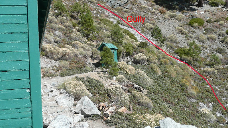
...is the same gully that crosses the trail below the ski hut. In the photo, you can see the outhouse perched just above the gully.
You can see the gully where it crosses the trail in the below photo where I've marked the gully as "Creek Bed". I've circled the willows in the creek bed. To the right of the circled willows, I've circled a hiker who is standing at approximately where the water crosses the trail.
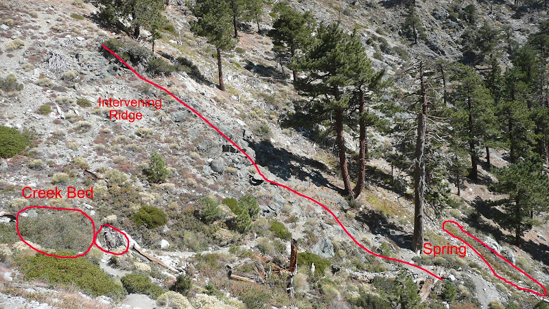
Notice also that there is an intervening ridge that separates the spring from the gully below the outhouse. The chance of that spring being contaminated by the outhouse is virtually nil.
Now where is that water in that gully below the outhouse coming from? Well, it's actually water from San Antonio Creek. The ski hut has a pipe that takes water from above the ski hut, presumably from San Antonio Creek . That pipe flows continuously into the sink inside the hut. The outflow of the sink flows via another pipe into the gully below the outhouse. So, really, the water in the gully below the outhouse is good water, BUT someone
could contaminate that water by dumping something down the sink inside the ski hut or contamination from the outhouse
could occur. Probably the water is just fine, but since there are two other sources nearby, I prefer to avoid the water in the gully below the outhouse.
The water in San Antonio Creek could become contaminated if someone were to go upstream, but there haven't been any problems so far that I'm aware of.
Probably the safest source is the first one, the spring.
Hope this clears things up.
HJ
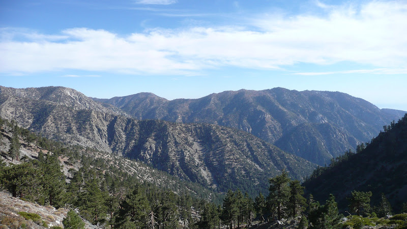
P.S. Heck of a nice day for hiking yesterday.
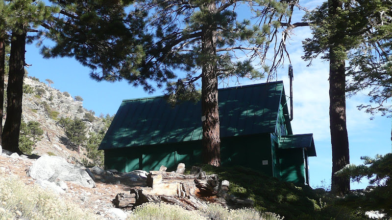
The hut itself looked like it was in good shape.
Great day for a picnic too.

Happy trails to one and all.
