
LOL. Less wrong! Least wrong yet! woohooooHikin_Jim wrote:Am I more wrong or less wrong?
The 'Guess the Photo' Thread
-
HikeUp

- Posts: 4108
- Joined: Thu Sep 27, 2007 9:21 pm
-
Ze Hiker

- Posts: 1432
- Joined: Mon Jul 28, 2008 7:14 pm
i think you've just made this photo up to trick us. hope you feel good about yourself

-
Ze Hiker
- Posts: 1432
- Joined: Mon Jul 28, 2008 7:14 pm
vaguely? looks exactly like Winston Ridge. enough info for you to get it!
-
Hikin_Jim

- Posts: 4688
- Joined: Thu Sep 27, 2007 9:04 pm
What? Is this really that much of a stumper?
HJ
HJ
-
Hikin_Jim
- Posts: 4688
- Joined: Thu Sep 27, 2007 9:04 pm
Dang. Obviously not a stumper. 
Yes, Goodykoontz. No, not from Pallet. This was shot from "across the way" on Thrall.
HJ
Yes, Goodykoontz. No, not from Pallet. This was shot from "across the way" on Thrall.
HJ
-
HikeUp
- Posts: 4108
- Joined: Thu Sep 27, 2007 9:21 pm
Took me awhile to figure that one out.
What peak and where from...

What peak and where from...
-
Taco

- Snownado survivor
- Posts: 6230
- Joined: Thu Sep 27, 2007 4:35 pm
Cheesedick Mountain!
<3 u ze
<3 u ze

-
Hikin_Jim
- Posts: 4688
- Joined: Thu Sep 27, 2007 9:04 pm
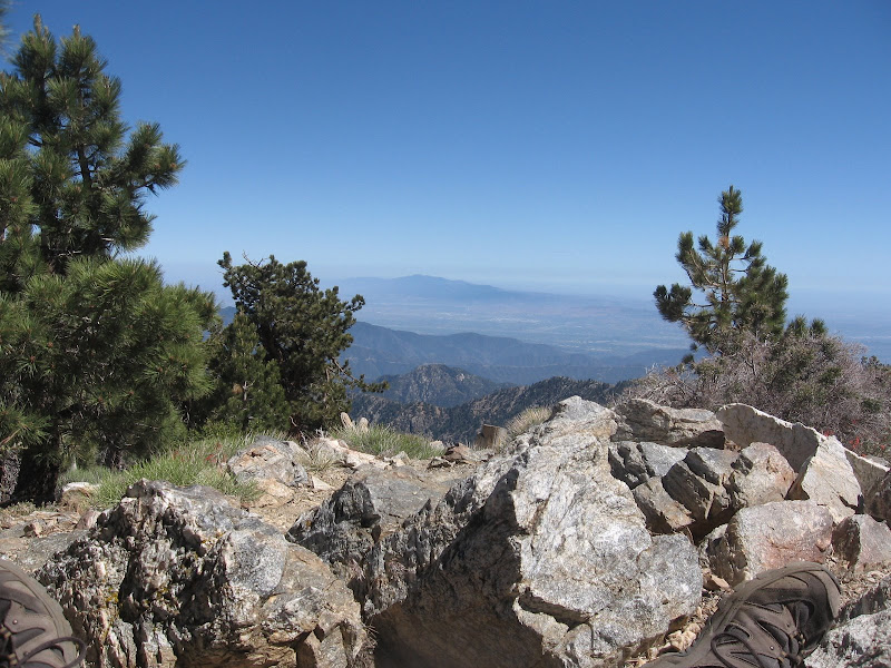
Well, I'm not 100% sure, but that looks like the Glendora Ridge Road on the ridge in the mid distance of the photo. If that were true, then you'd be further east.
Ross?
HJ
Ross?
HJ
-
Hikin_Jim
- Posts: 4688
- Joined: Thu Sep 27, 2007 9:04 pm
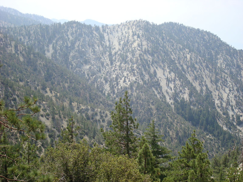
Hmm. Well, I'm pretty sure it's middle high country.
Not E. Twin, not Islip, not Ross.
Throop is open and rocky like what's in the photo, although I don't think it drops off like that to the south. Hawkins doesn't have that much area. I don't think B-P looks like that on top. Definitely not Waterman.
Could be Burnham; haven't been over that way for a while. Maybe Middle Hawkins but I haven't been over there in years and years, so dunno about that.
Hmm. Now Williamson is rocky like that on top. OK, Zé, my next somewhat educated guess: Williamson.
HJ
-
Elwood

- Posts: 628
- Joined: Fri Aug 15, 2008 5:23 pm
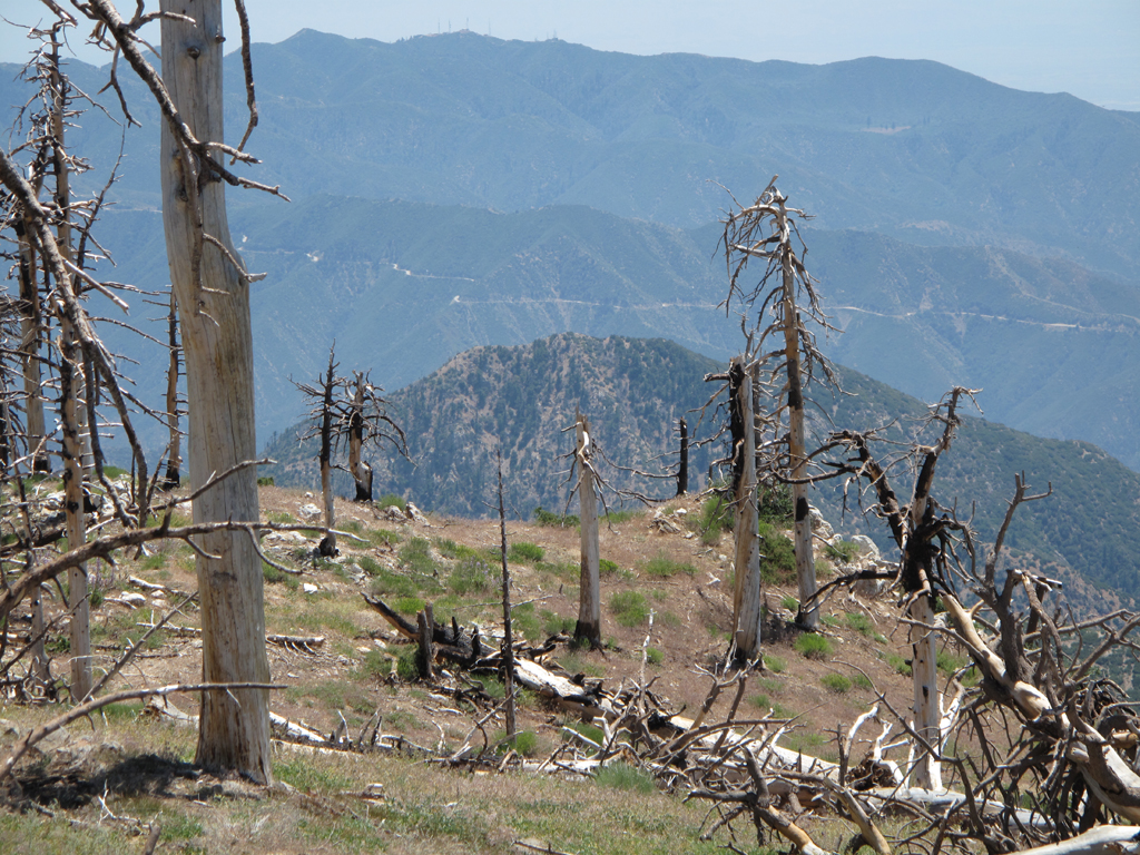
I'm inclined to agree with Hikin Jim. Triplets' ridge, Smith Mountain, but what looked like GRR confuses me.
-
Elwood
- Posts: 628
- Joined: Fri Aug 15, 2008 5:23 pm
Of course. I amaze myself with my dumbassedness. I took this from South Hawkins two frakkin weeks ago!
-
HikeUp
- Posts: 4108
- Joined: Thu Sep 27, 2007 9:21 pm
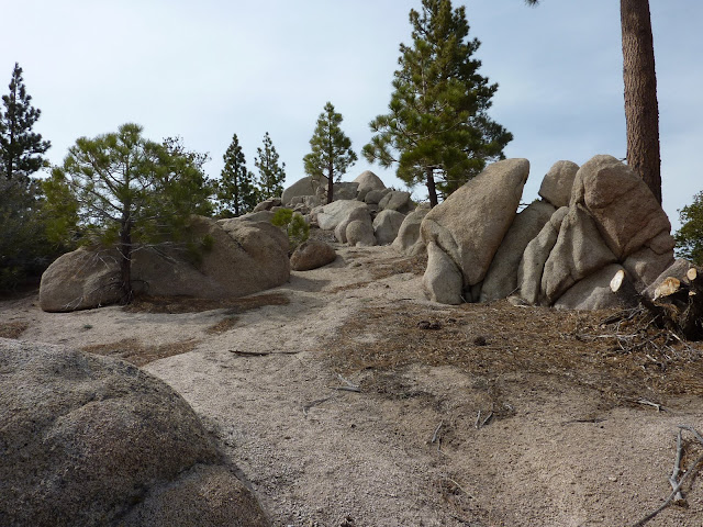
I think there are some piles of rocks sorta between where they keep the register and where Copter Ridge really begins to descend to the south/southeast. That'd be Rattlesnake Peak in the near distance.
