
Guess the trail name!
-
maxmapper
- Posts: 56
- Joined: Fri Jan 17, 2020 5:50 pm
34.15773, -117.93057. I've been playing lots of https://www.geoguessr.com/ lately... do you know how many meters off I am?
-
maxmapper
- Posts: 56
- Joined: Fri Jan 17, 2020 5:50 pm
Fish Canyon Falls. Dang... On geoguessr you have to be <50m to win  Ok here's one from a roll of film I forgot about
You do not have the required permissions to view the files attached to this post.
-
Sean

- Cucamonga
- Posts: 4412
- Joined: Wed Jul 27, 2011 12:32 pm
Is that a trail in front of your tent, and is this the San Gabriels?
-
maxmapper
- Posts: 56
- Joined: Fri Jan 17, 2020 5:50 pm
Yep. Trail is behind and to the left, this clearing is what I believe is an old helipad
-
Sean
- Cucamonga
- Posts: 4412
- Joined: Wed Jul 27, 2011 12:32 pm
-
HikeUp

- Posts: 4098
- Joined: Thu Sep 27, 2007 9:21 pm
Circa 2010...
You do not have the required permissions to view the files attached to this post.
-
Sean
- Cucamonga
- Posts: 4412
- Joined: Wed Jul 27, 2011 12:32 pm
-
Sean
- Cucamonga
- Posts: 4412
- Joined: Wed Jul 27, 2011 12:32 pm
Oh! That's Burkhart Saddle. I had the angle, not the elevation.
-
Sean
- Cucamonga
- Posts: 4412
- Joined: Wed Jul 27, 2011 12:32 pm
In the Gabes...
You do not have the required permissions to view the files attached to this post.
-
Sean
- Cucamonga
- Posts: 4412
- Joined: Wed Jul 27, 2011 12:32 pm
Here's a hint. The small peak in the distance has a second-rate reputation.
-
maxmapper
- Posts: 56
- Joined: Fri Jan 17, 2020 5:50 pm
Ok i'll shoot... 34.236606, -118.103256. Edit: Forgot to mention... Mt Lowe Road
-
Uncle Rico

- Posts: 1484
- Joined: Thu Mar 20, 2008 7:48 pm
Going down the Mt.Wilson fire road with the Yale benchmark in the upper left had corner?
-
Sean
- Cucamonga
- Posts: 4412
- Joined: Wed Jul 27, 2011 12:32 pm
Exactly.Uncle Rico wrote: Going down the Mt.Wilson fire road with the Yale benchmark in the upper left had corner?
-
Uncle Rico
- Posts: 1484
- Joined: Thu Mar 20, 2008 7:48 pm
Ok, what trail junction is this? In the Gabes.
You do not have the required permissions to view the files attached to this post.
-
David R
- OG of the SG
- Posts: 685
- Joined: Sun Jun 12, 2011 10:28 pm
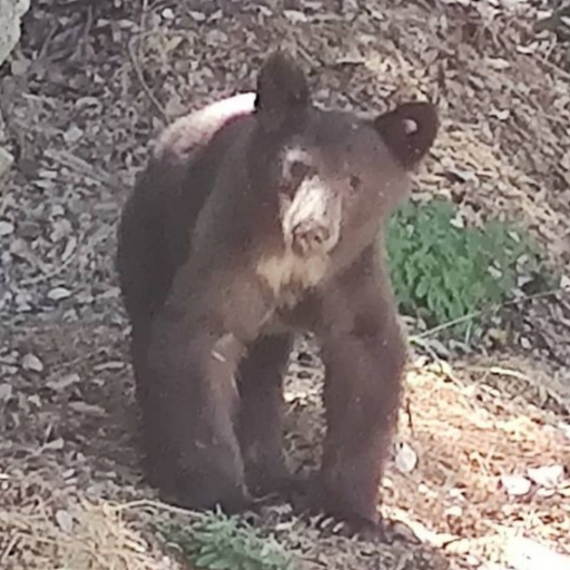
Dat Bobcat on the hat Rim of the Valley fat carrot who sat on Mt Lukens Road. I pass my ass to someone else.
-
Uncle Rico
- Posts: 1484
- Joined: Thu Mar 20, 2008 7:48 pm
That's right. I'm going out of turn since the last post on this thread is gettin' stinky.
Where am I? I'm looking north.
Where am I? I'm looking north.
You do not have the required permissions to view the files attached to this post.
-
Sean
- Cucamonga
- Posts: 4412
- Joined: Wed Jul 27, 2011 12:32 pm
-
Sean
- Cucamonga
- Posts: 4412
- Joined: Wed Jul 27, 2011 12:32 pm
You do not have the required permissions to view the files attached to this post.
-
Sean
- Cucamonga
- Posts: 4412
- Joined: Wed Jul 27, 2011 12:32 pm
Hint #1
"I hope my leg don't break walkin' on the moon."
Hint #2
"I'm the Devil, and I'm here to say I'm the most evil rapper in the USA."
"I hope my leg don't break walkin' on the moon."
Hint #2
"I'm the Devil, and I'm here to say I'm the most evil rapper in the USA."