

Two of our group started at 3 AM as they knew the rest of us would eventually catch them - it took us till San Bernardino East to do so.
This was one of the most fullfilling hikes that was in my "Bucket". Everyone was excited to be doing it and all the preparation paid off.
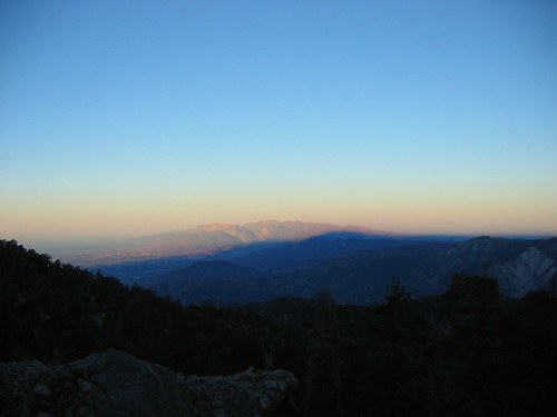
By the time the sun hit Baldy and the San Gabriels in the West we were just shy of Limber Pine Bench. Because the Santa Ana winds had been blowing the previous two days the sight distance and clarity was more than I had expected. We were able to see completely past Saddleback Mountain all the way to San Clemente Island and Catalina from all nine peaks.
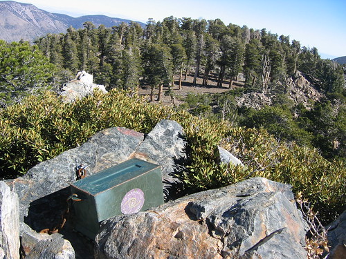
Limber Pine Springs was running at less than a gallon a minute but was iced over on the top so the total flow was hard to measure.
Knowing that it was going to be a long day and night would be upon us quicker than what we would have liked we kept up a pace that was a bit much for a few but they sucked it up and made it all the way.
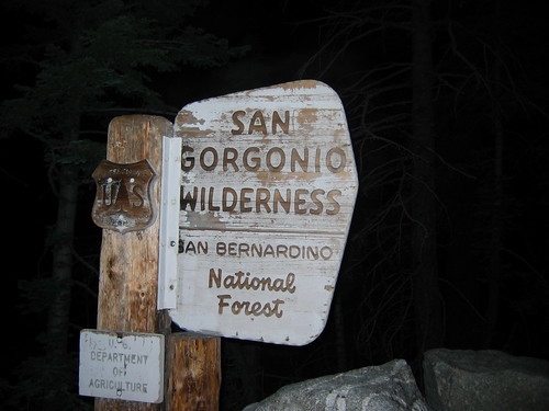
Very early morning as we passed the wilderness sign.
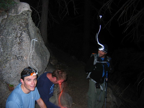
First break of the day 3 miles into that hike, L to R Bryan, Scott and Jason.
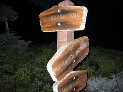
Still dark at the first junction Columbine
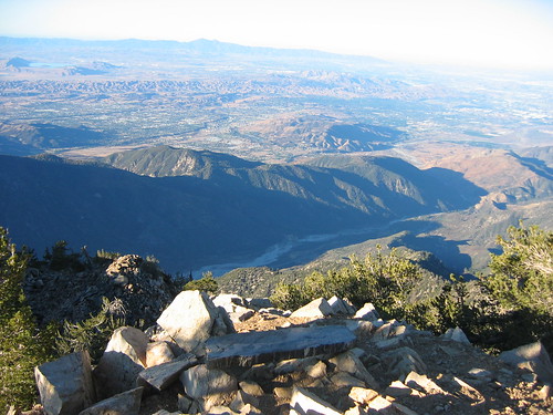
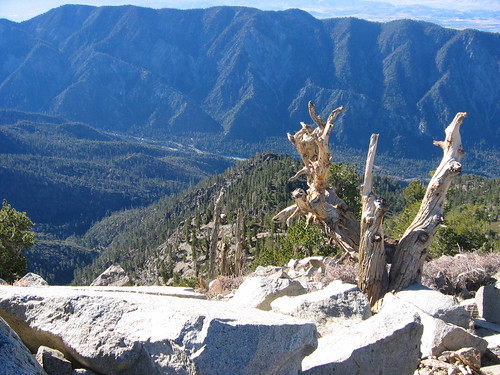
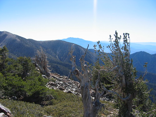
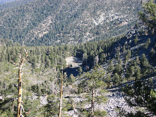
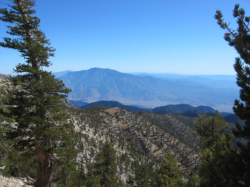
Looking due West as the Sun hits the San Gabriels/Mt. Baldy just before we reached Limber Pine Bench
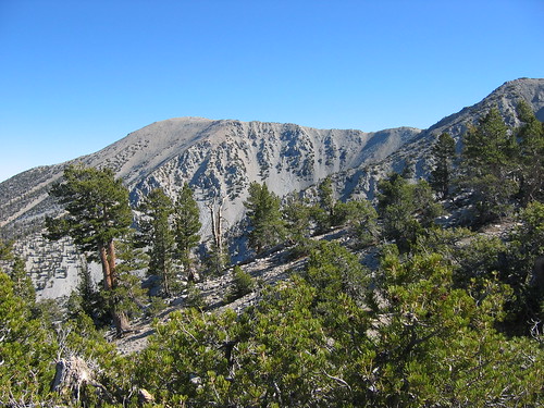
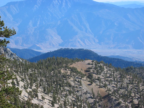
Limber Pine Bench
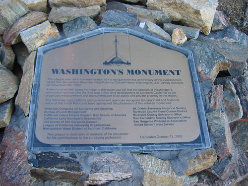
Washington Monument - All Surveys come off the marker just above this plaque - My picture of the Rock Pile holding up the wooden post did not come out, sorry
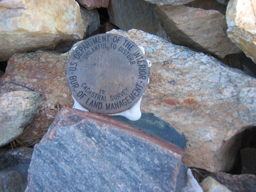
Marker marking the spot above the plague, put up in 2003.
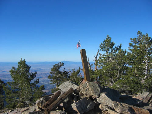
Cannot thing of a better picture to say "Thanks" to all the Veterans. This is the wooden post with small American Flag sitting atop Mt. San Bernardino - God Bless America.
This is new shot on top of San Bernardino East different from the one I took from exact spot two weeks ago.
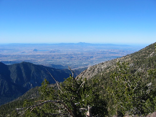
Looking West from Anderson Peak - look hard and you can see San Clemente Island over the horizon.
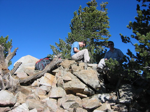
Bryan putting an entry into the Summit Book on top of Anderson Peak, with Eric enjoying some shade.
Looking down at Jason as he makes the final approach on Shields Peak
Looking East from Anderson
Register Can atop of Shields looking East towards Alto Diablo
Just a great view of Big Bear Lk from atop Alto Diablo with a weather warn tree to mark the top.
Another view from Alto Diablo, you can see Jenks Lake in the foreground
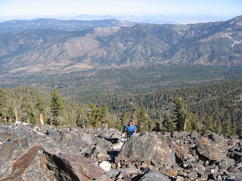
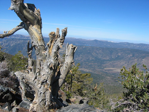
Looking down from Charlton Peak at Dollar Lake - Dry as a bone.
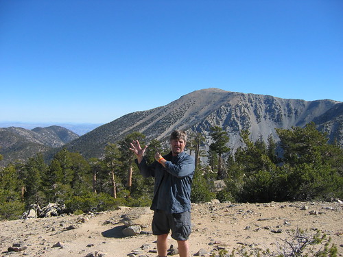
lilbitmo holding up his fingers to count the number of peaks done so far - knowing we were getting closer to our goal - that's Jepson and the bowl below it in the background.
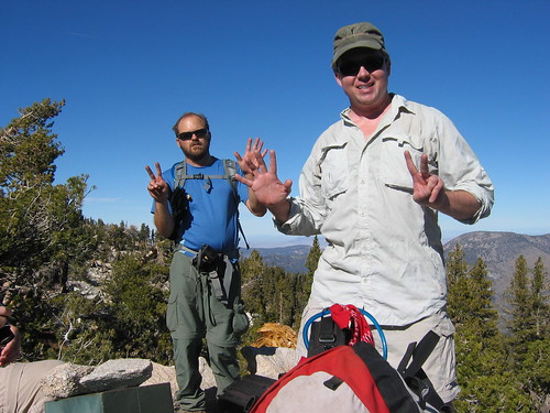
Eric in front, Jason in back holding up 7 fingers for Lt. Charlton - getting closer
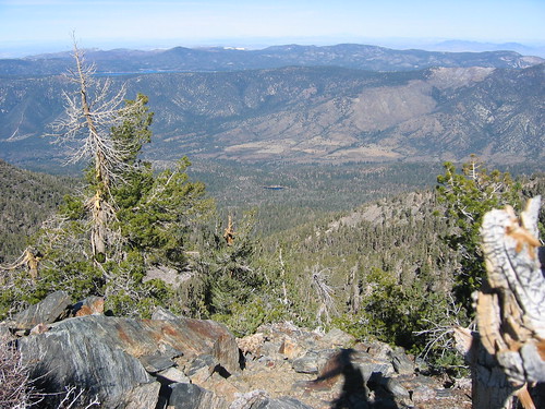
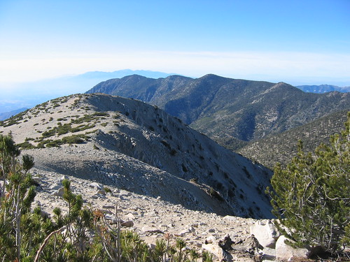
Looking from Lt. Charlton Peak to the ridgeline that holds the last two peaks we are on our way
Coming off Lt. Charlton heading south to pick up the trail at Dollar Lk View, looking at Mt. San Jacinto - you could actually see the wind farms clearly at the bottom of the valley floor - first time for me in 7 trips up that way.
Same view only telescoped picture showing wind farm on valley floor.
Atop of Jepson looking to the West, you can see that the smog is rolling back in - one more summit to go
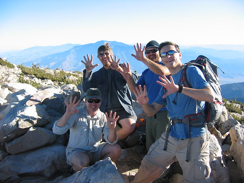
The four of us that made all 9 with our hands raised proudly to represent the goal we had set for ourselfs - On top of San Gorgonio.
We made the top of San G at 3 PM and it took another 4.5 hours to get out as one hiker ended up getting delayed altitude sickness on the descent. Throwing up three times on the way down from the High Creek Camp area. This was by far one of the greatest hikes of my life - all participants were great - though it did push one hiker to his limits he still sucked it up and finished.
I cannot thank Hiking Jim enough for his insights to some of the watering holes, locations, and correct assumptions on what to expect - thanks Hiking Jim.
We also were grateful that the bad weather held off for another 7 hours as I woke up Sunday to find out that snow dumped all over those mountains that night.
What a great break that was. Sorry for the long post but pictures say things better than I can.
Lilbitmo


