I took Travis' route to Sugarloaf, which is basically turn right at 6100' and go straight up the east side of Sugarloaf. There is no trail, you just go straight up. It's very steep and loose--it felt like I was climbing in the winter. The topo said it was a 700 ft climb over 0.2 miles so I guess that works out to be 3500 ft/mile. Looked like around 25-30° to me.
The ridge to Ontario is pretty straightforward but again there is no trail. There are some ducks here and there but you pretty much pick your own path. As you get near the top, the area is littered with debris. There are a gazillion fallen logs everywhere and a lot of low brush.
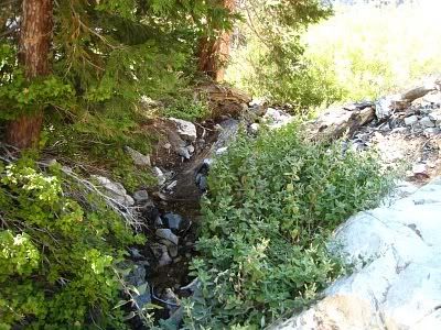
After Ontario I was going to go to Bighorn but I was lazy and decided to go home. I thought going back down FRC would be faster, but it really wasn't. It takes awhile to get down FRC because this place is filled with crap. It's like nature's dumpster. Everywhere there are fallen logs, branches, big rocks, little rocks, even a '69 Chevy. Okay, maybe not the Chevy, but at around 6800', the canyon is full of vegetation. There is actually a small stream there and it flows into the upper waterfall at 6700' then disappears a short time later. You bypass the waterfall on the left (west side). The middle waterfall at 6600' is dry and you also bypass it on the left. This perfectly matches Christopher Brennen's description.
Btw, I didn't see another person the whole day. Last entry on Sugarloaf was 8/30/08 and a couple of people signed in at Ontario. Saw three deer in FRC and maybe some bear scat. Tons of flies too. They're not gone yet.
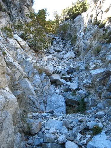
FRC, just above the first (lower) waterfall
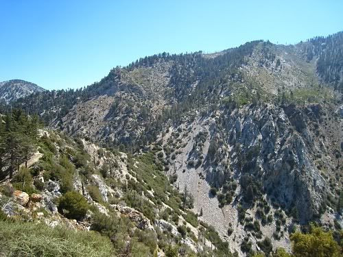
The ridge to Ontario as viewed from Sugarloaf
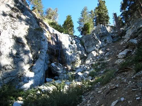
The upper waterfall at 6700'
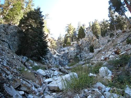
The middle waterfall at 6600'
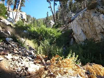
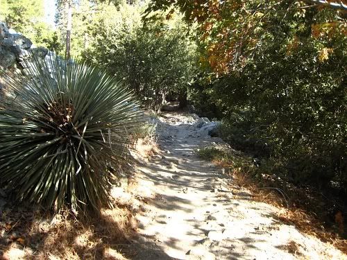
These two views were taken at the top of the upper waterfall.
Looking up the canyon.
Looking down the canyon. After that plant is the waterfall. You need to cross the stream and go left. The right side is a shear vertical wall.