
Drove to Lone Pine on Friday. Talked to the teenagers working at the Forest Service station to discover that all the permits for Shepherd Pass were gone, but all the permits for George Creek were available. Not super surprising I guess, but not what we wanted to hear. We had some concerns about road conditions to George Creek, but decided to try it. We left the 395 at the North end of Manzanar, and took the road between Bairs creek and George creek. It's a bit sandy, and has some bushes in the crown. My car is 2WD, but has a high-ish clearance, and it was no problem at all. About 0.5miles from the trailhead is a small dirt lot for the vehicles that don't want to climb the steep hill with deep gouges. We didn't want to so we walked the extra 0.5mile.
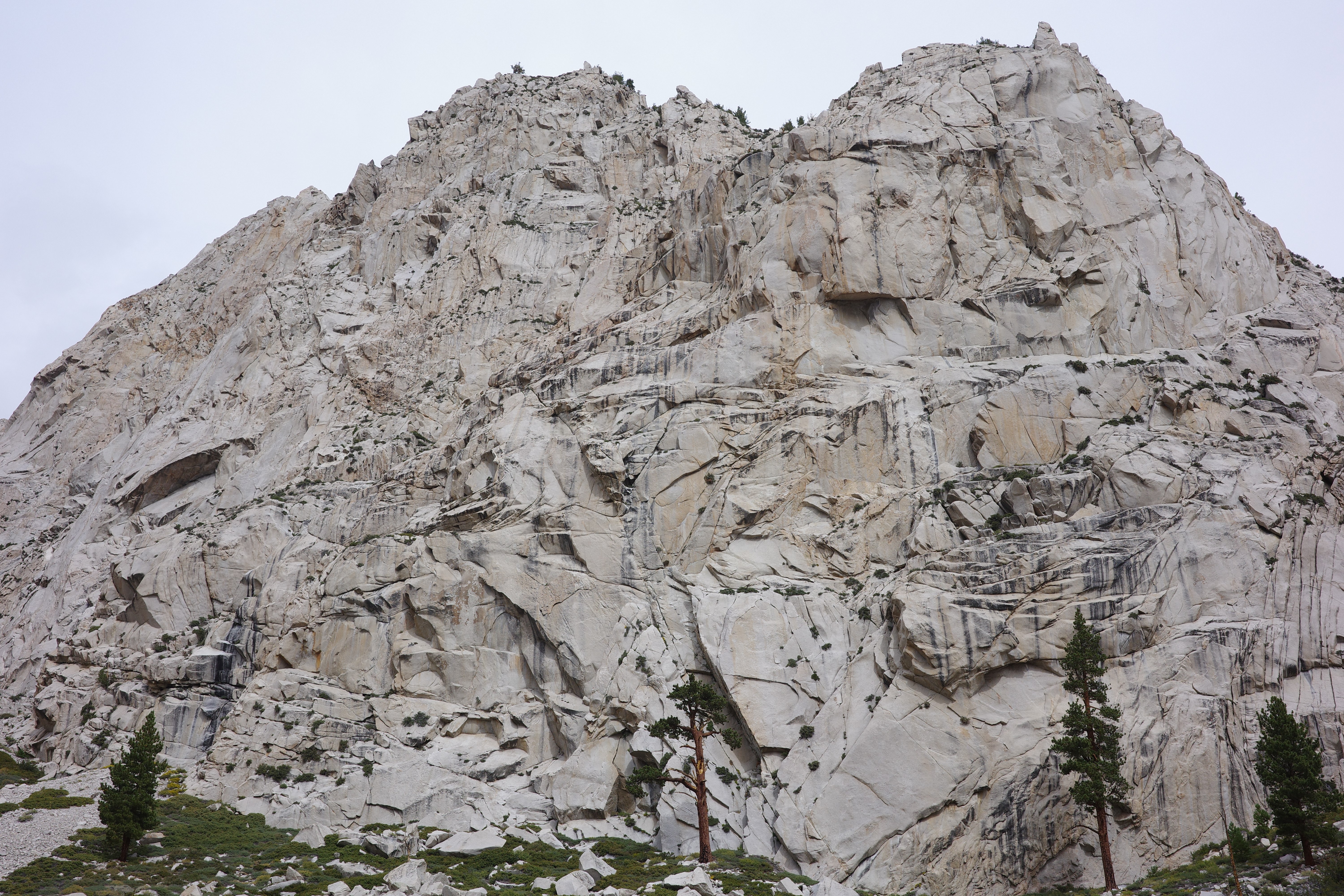
OK. The trailhead is at about 6000ft. George creek is flowing well. As with many of the East Sierra canyons, this is a narrow patch of green, surrounded by steep bare granite. There's no official, established trail, but a ducked use trail comes and goes from the trailhead all the way until the climb out at 11200ft. We didn't have a gps track, but it was easy enough to follow. Plenty of ducks, and somebody cut back the brush recently.
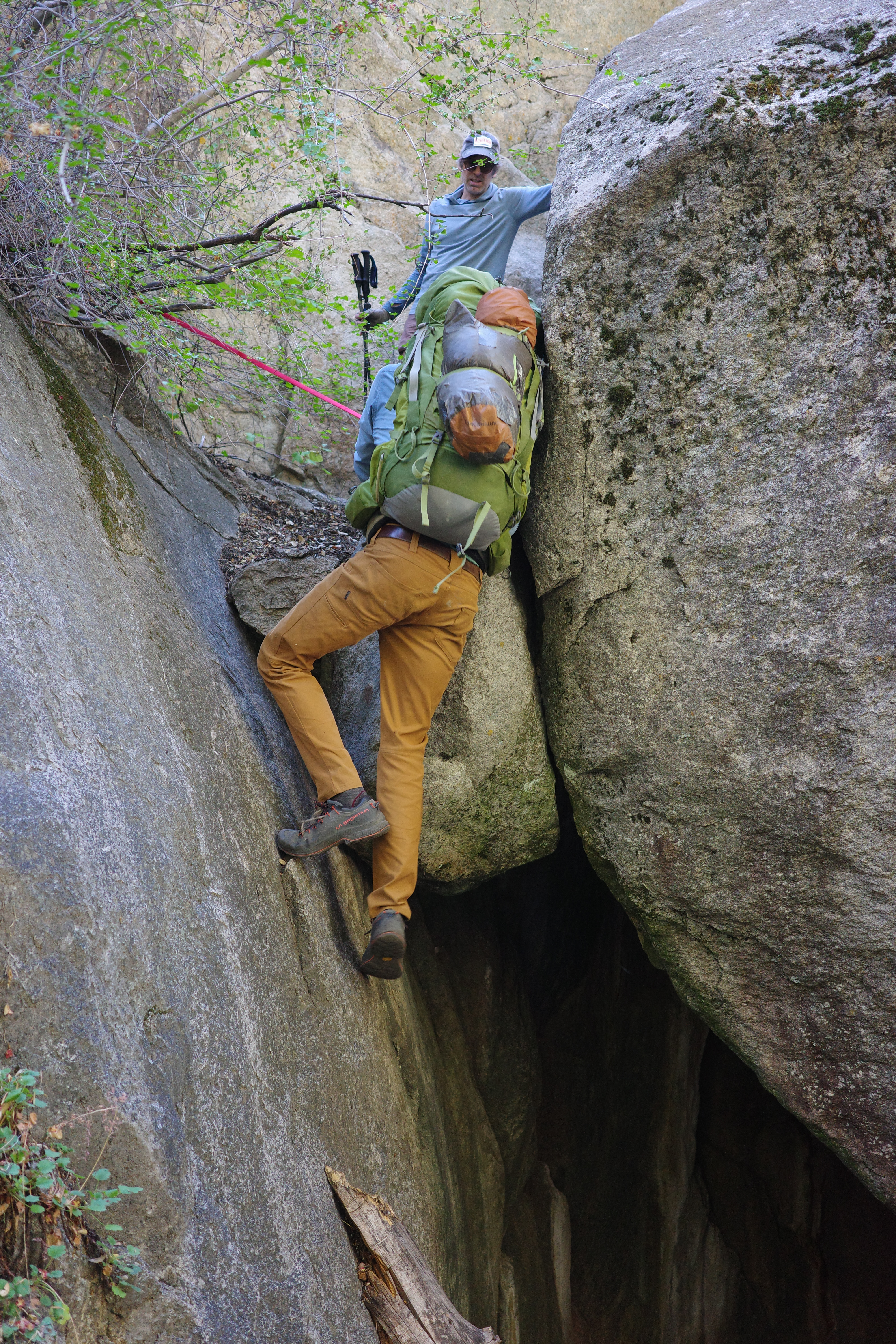
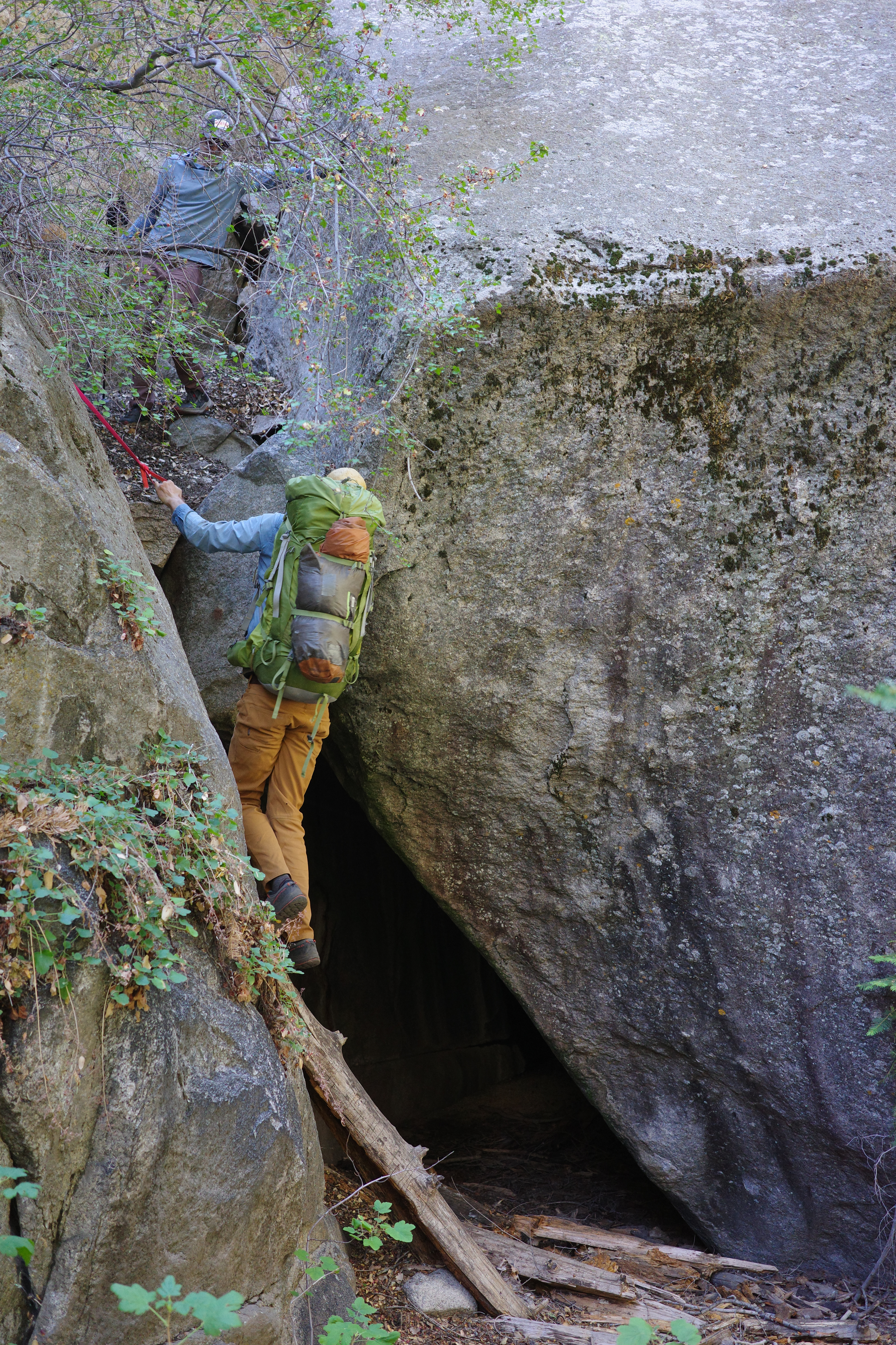
It's a bit of a bushwhack initially, but then it opens up. It is pretty! The canyon is steep, full of waterfalls and cool cliffs. It's all non-technical. At one point is a waterfall with a climby bypass. Here's wesweswes downclimbing it on the way out
Eventually you climb out, and follow the path along and above the river, in the rocks
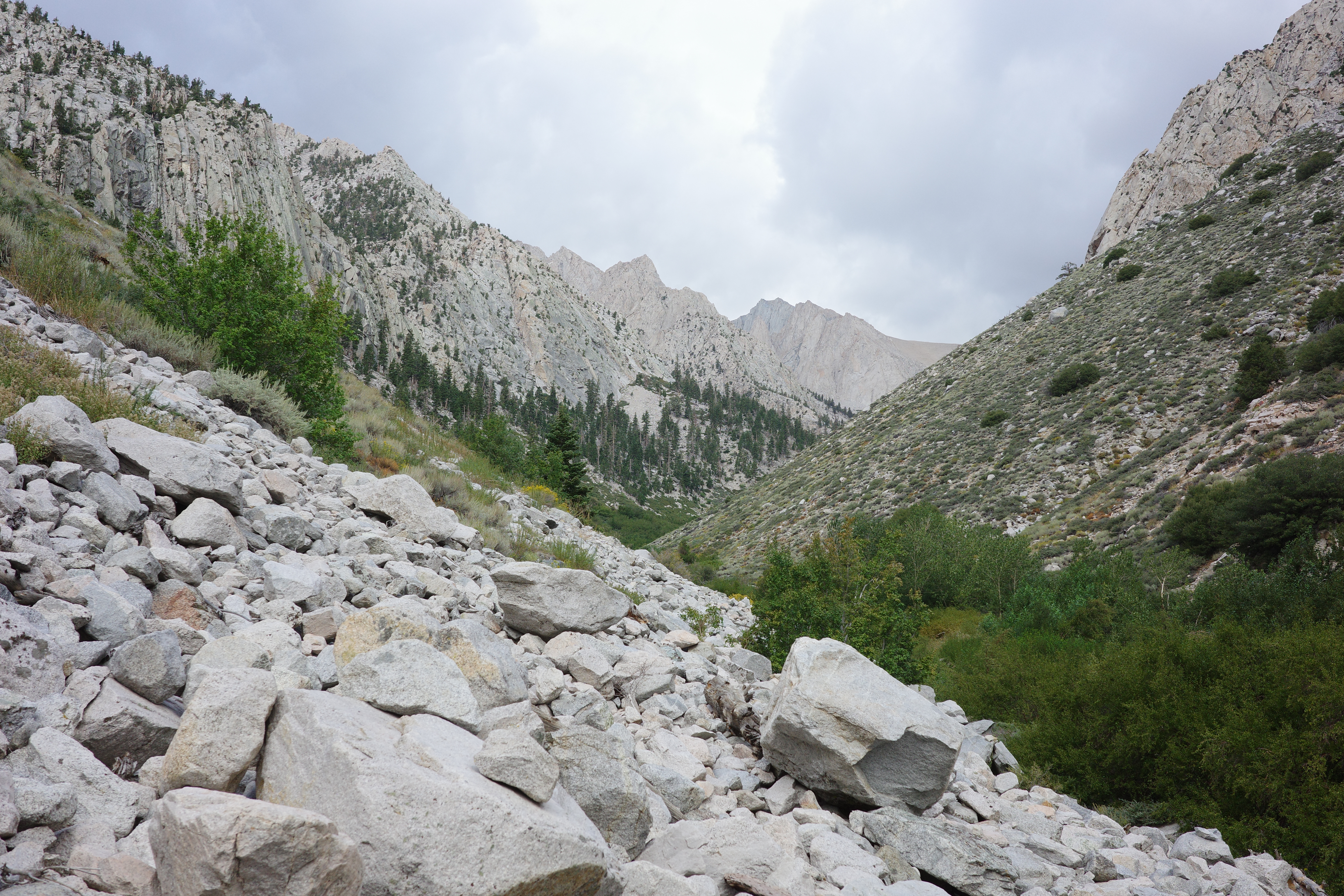
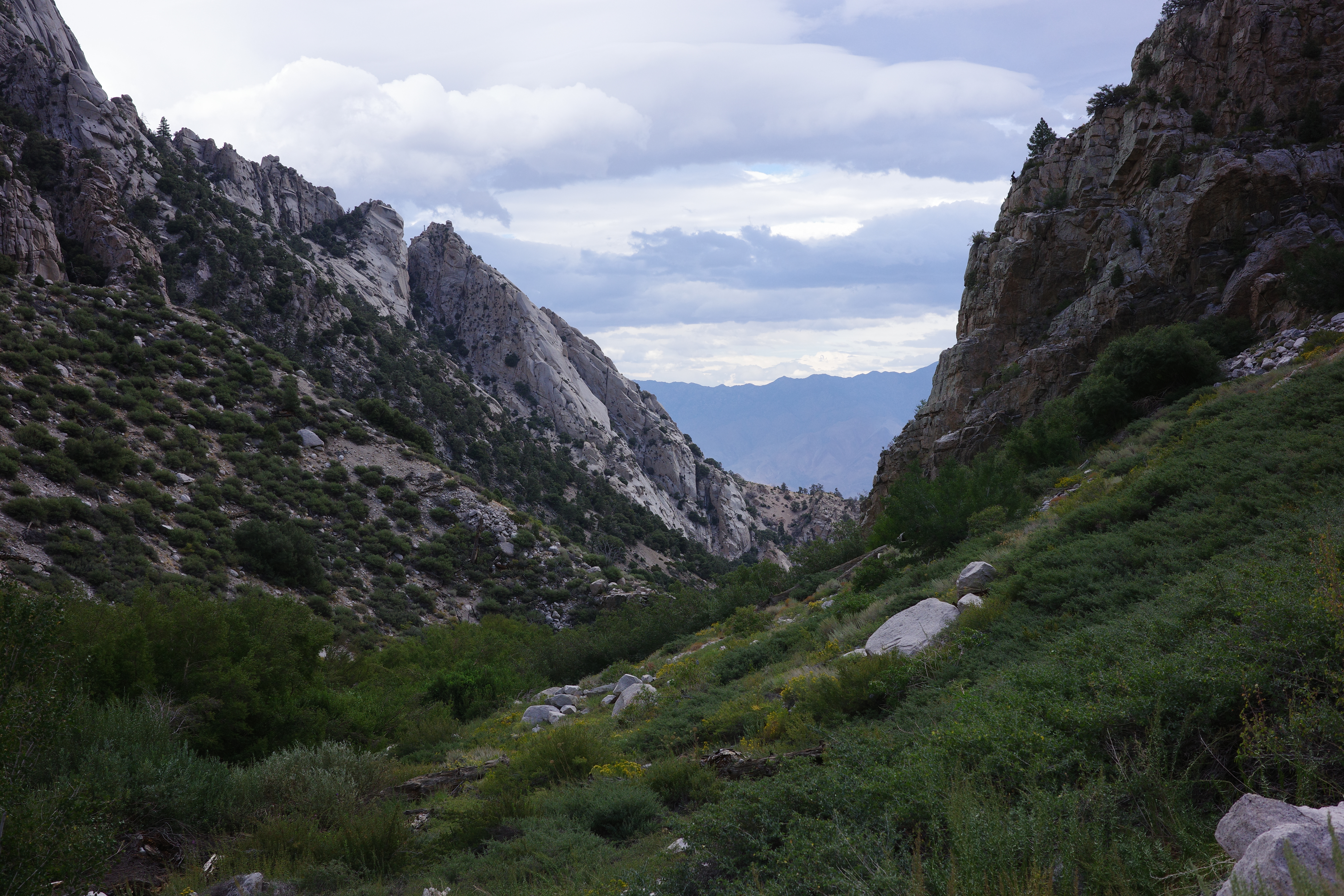
At 9000ft we crossed the creek, and found ourselves at a nice campsite in the forest. Our plan was to camp at 10000ft, but this was nice and we were tired. And if we camped here, we wouldn't have to haul the big packs any further up. So we did, and it was great.
The night was real warm. The morning was lazy. We got our day packs, and set out bright and early at 10am. The route once again is steep, mostly along and above the creek, on an intermittent trail marked by the ducks. Neat!
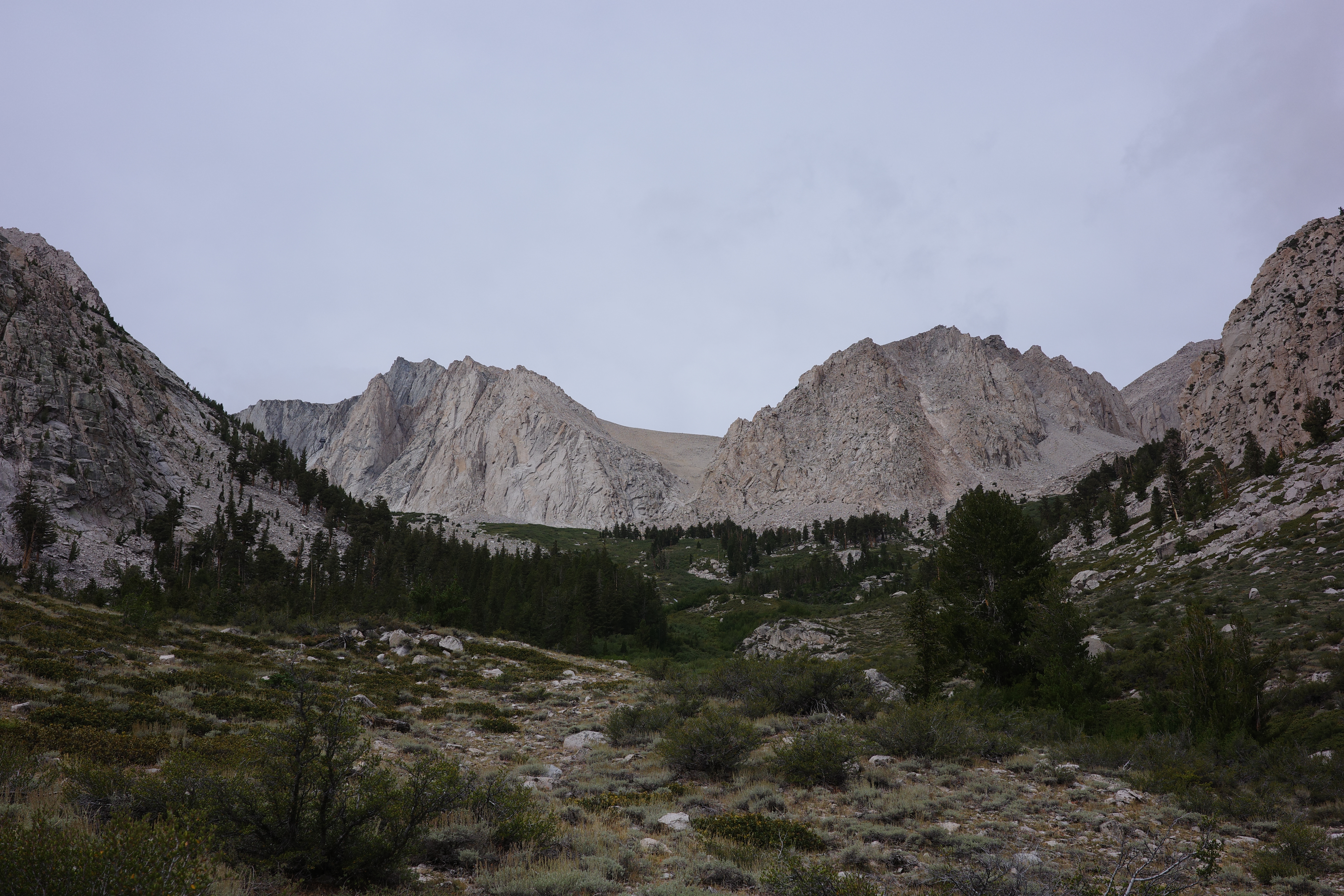
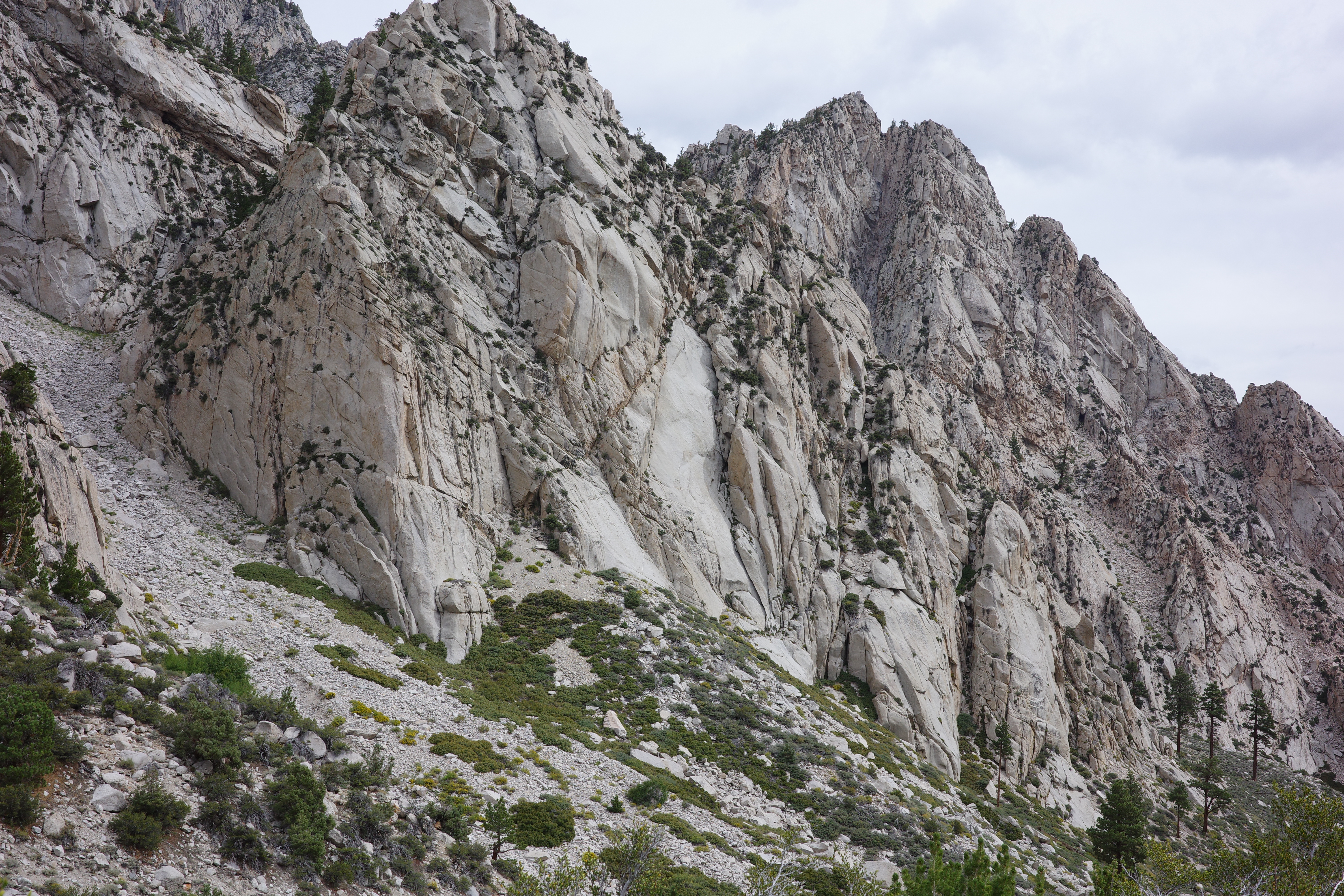
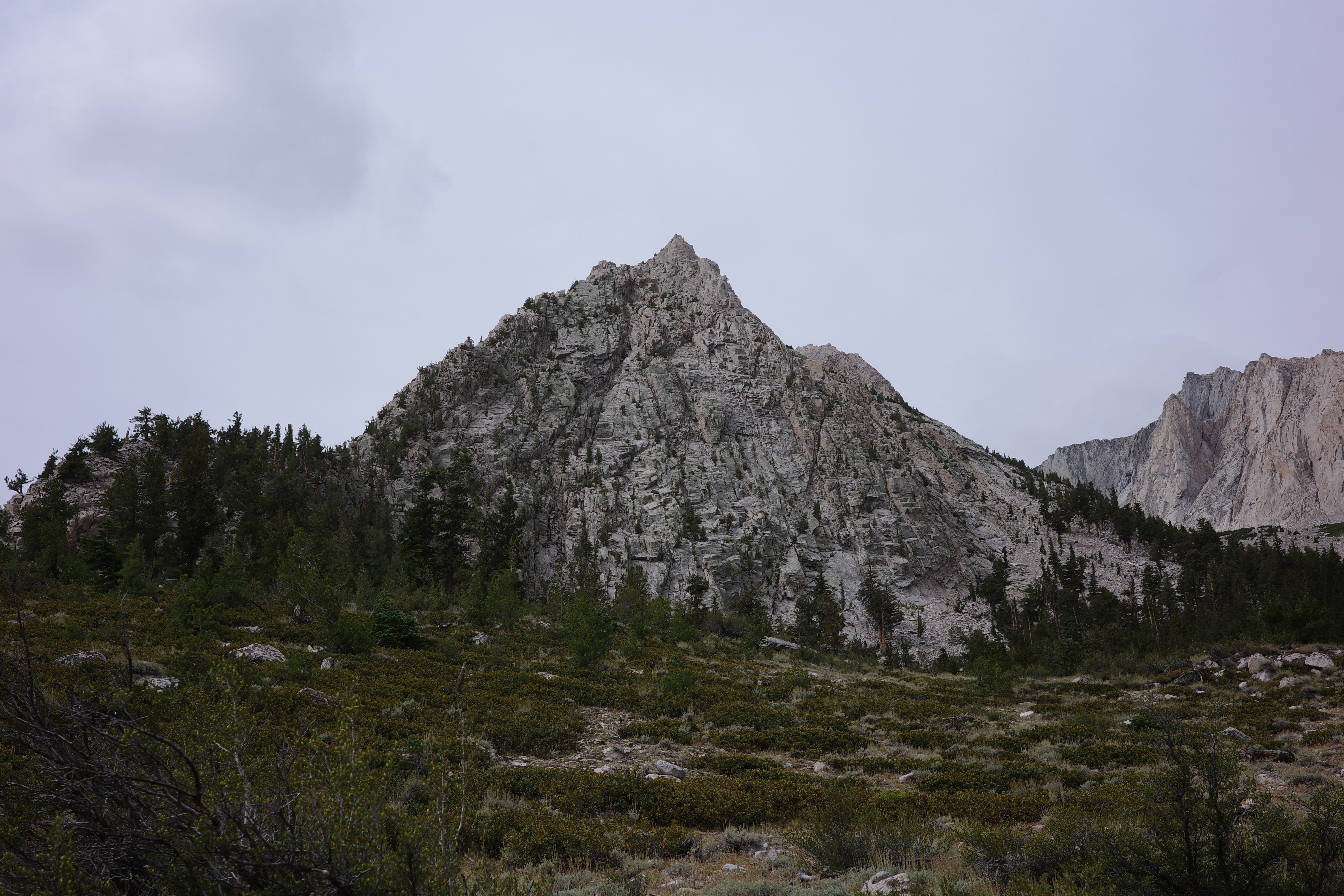
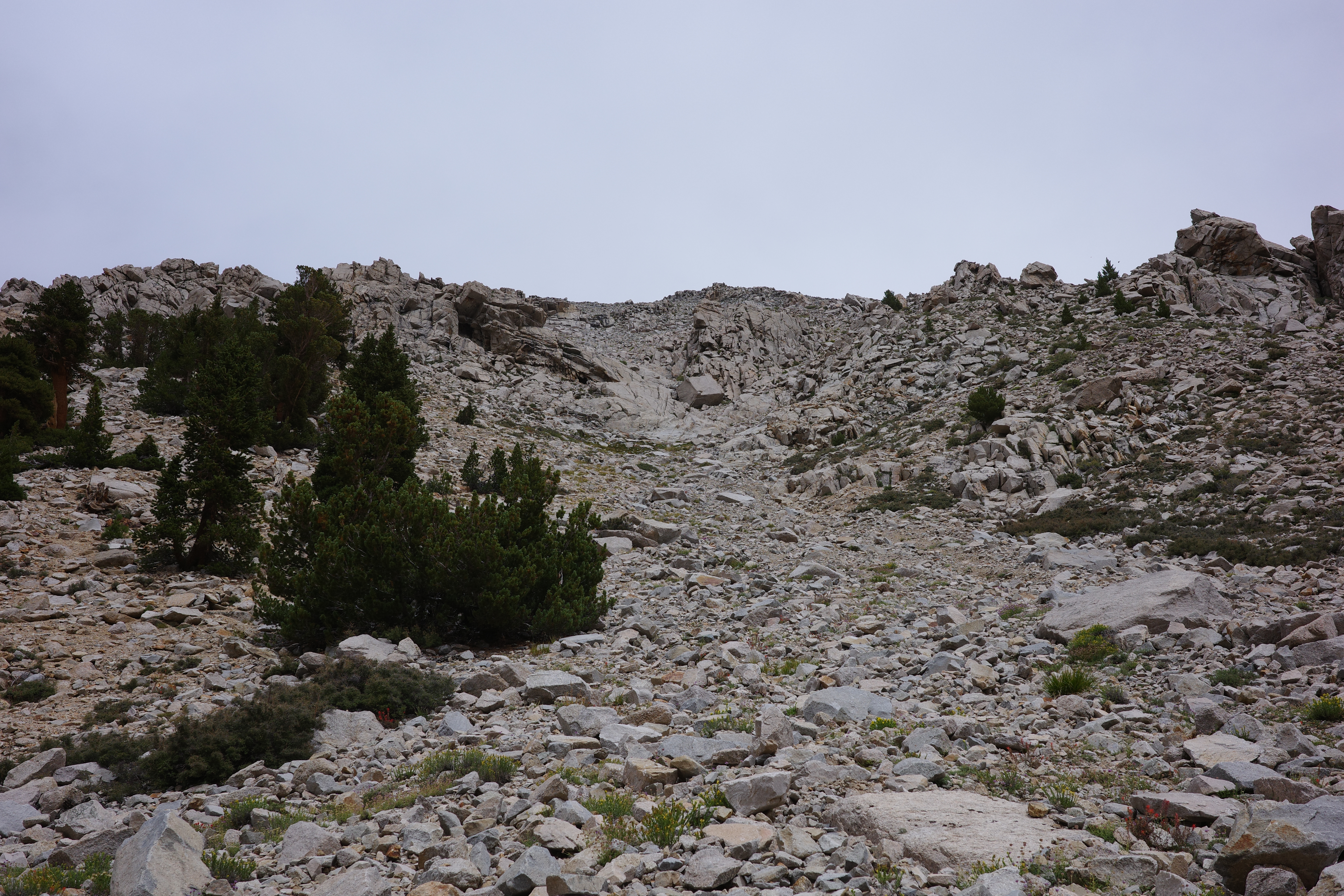
The campsite at 10000ft is nice. The next campsite at 11200ft is also nice. Those aren't as forested and pleasant as the 9000ft one, and they aren't near water. We accidentally chose correctly. At the 11200ft camp you leave the creek for good, and climb straight up to the wide 13000ft ridge below the summit. This is a steep scramble. Not technical, but also not easy. The last water is at the waterfall just above the 11200ft camp.
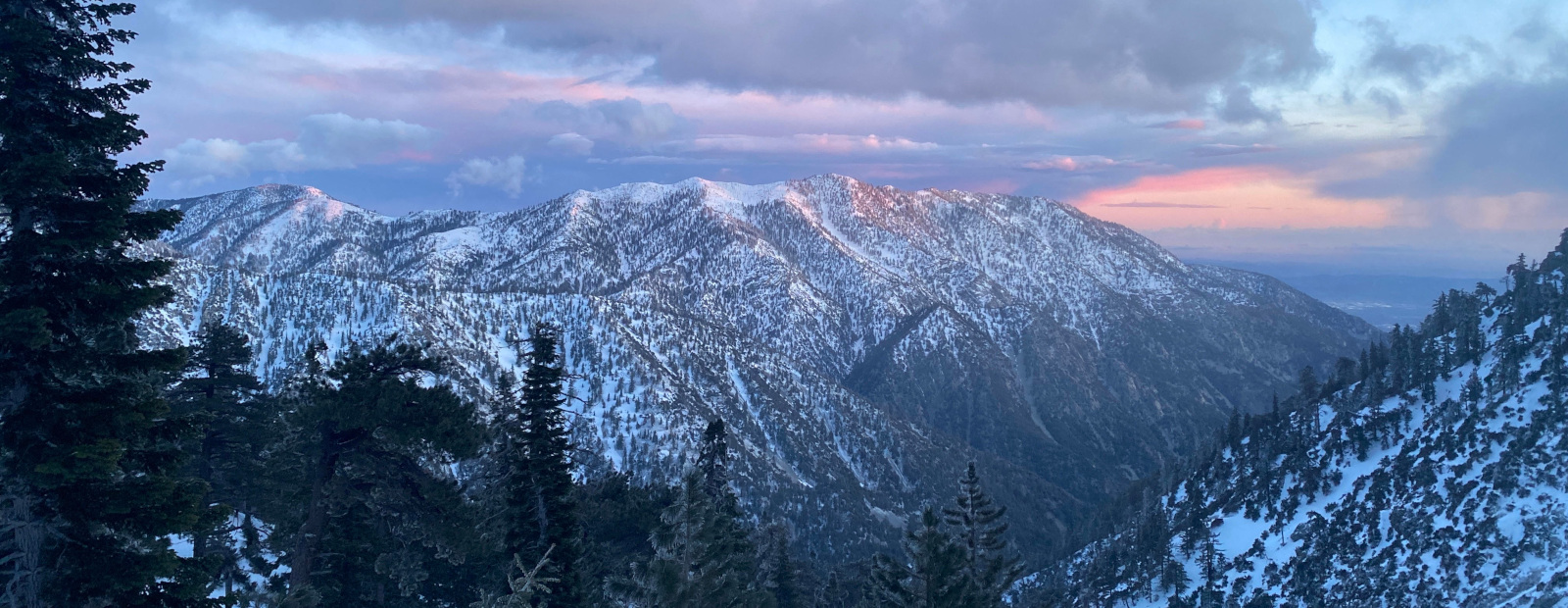
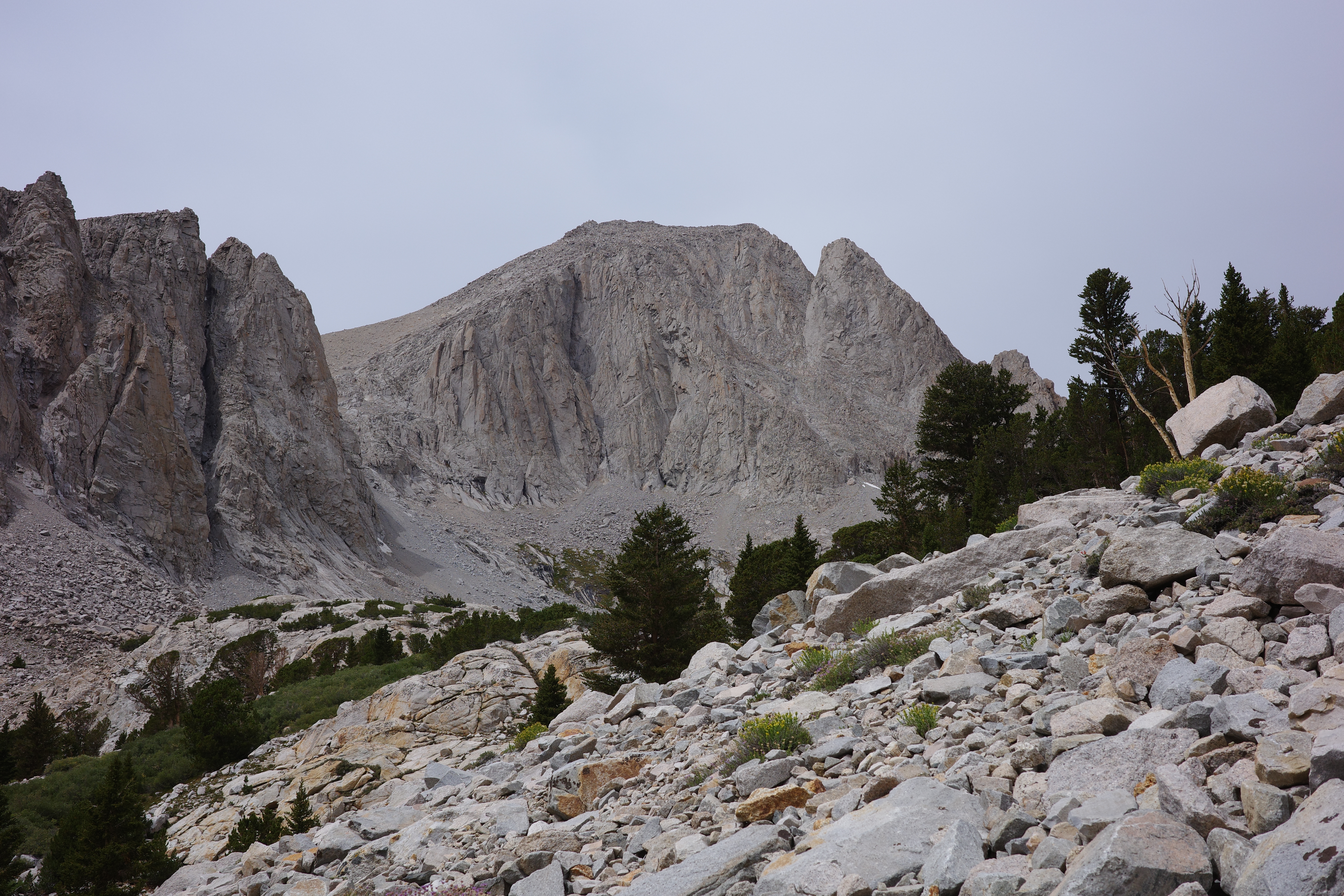
Views open up as you climb. Trojan peak:
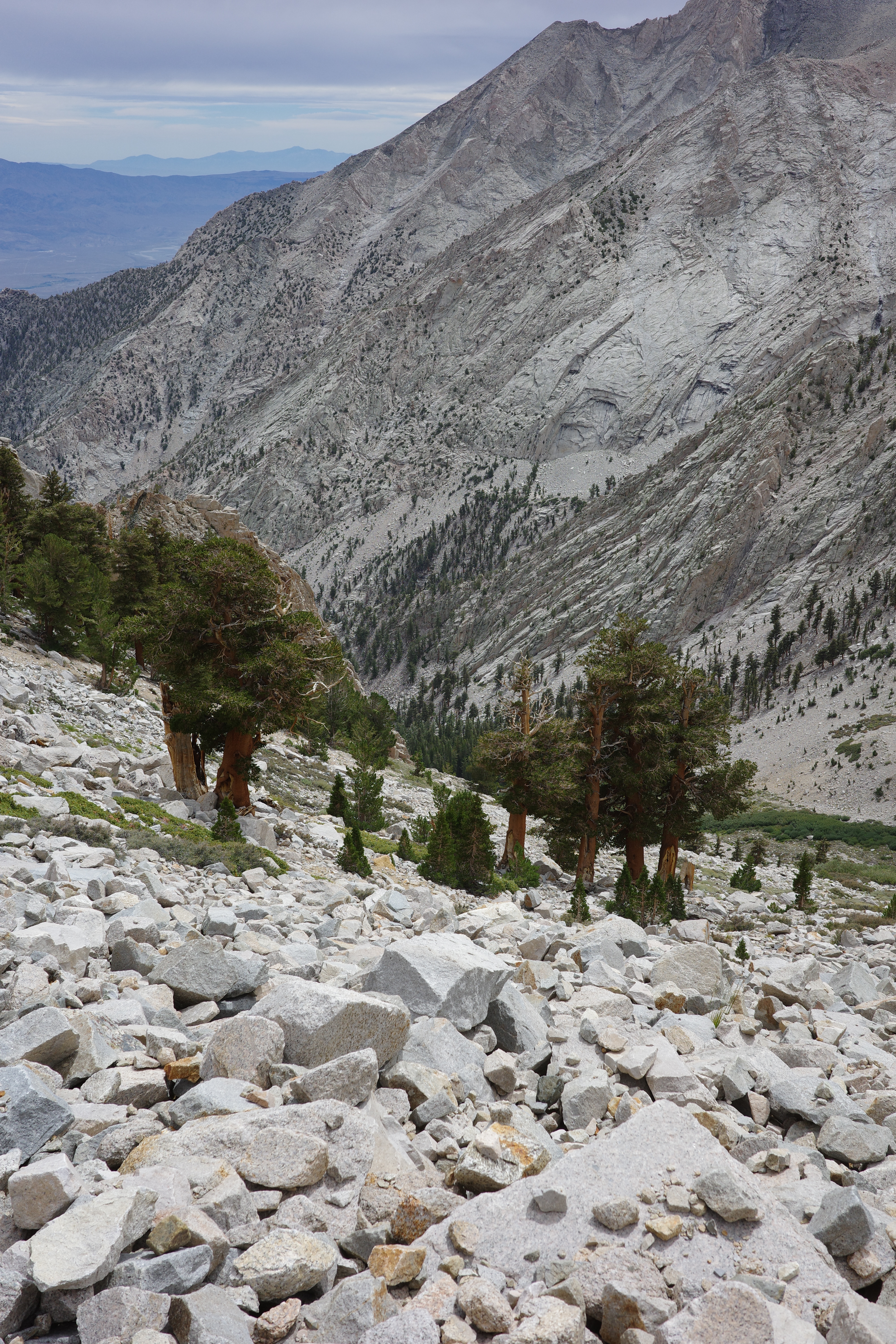
Back down:
Going up there:
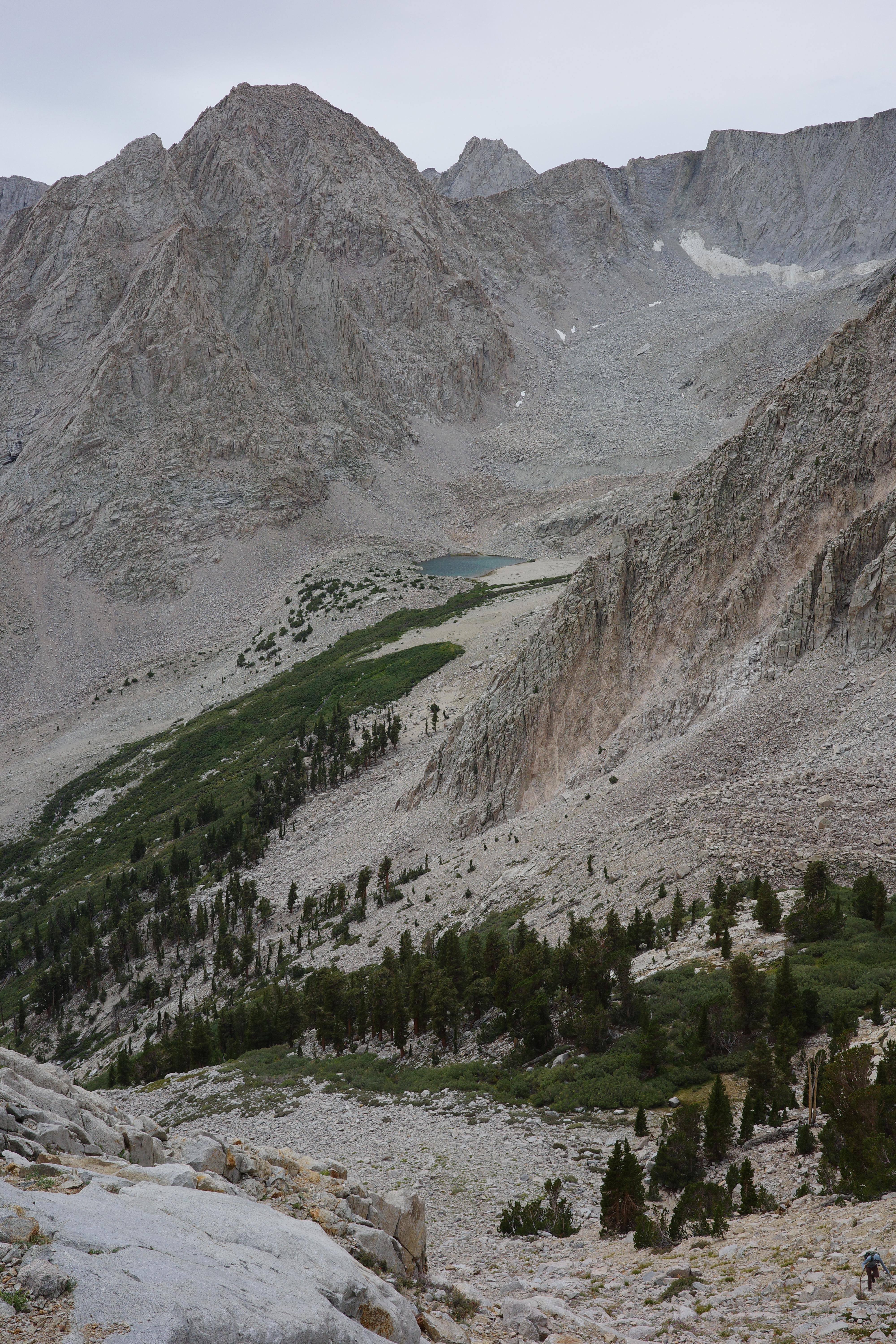
The glacier and lake at the extreme upper end of George creek:
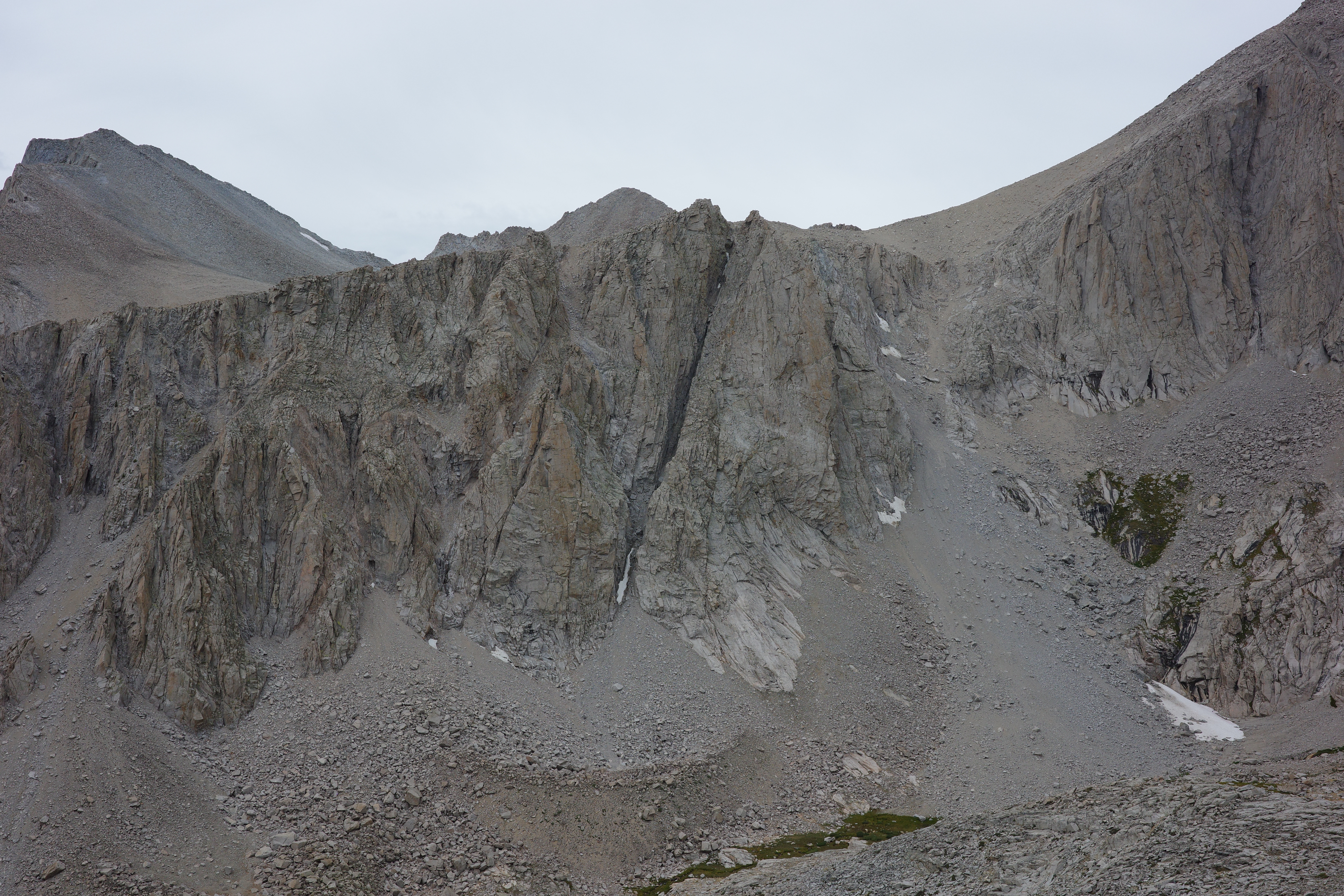
Some cool chimneys:
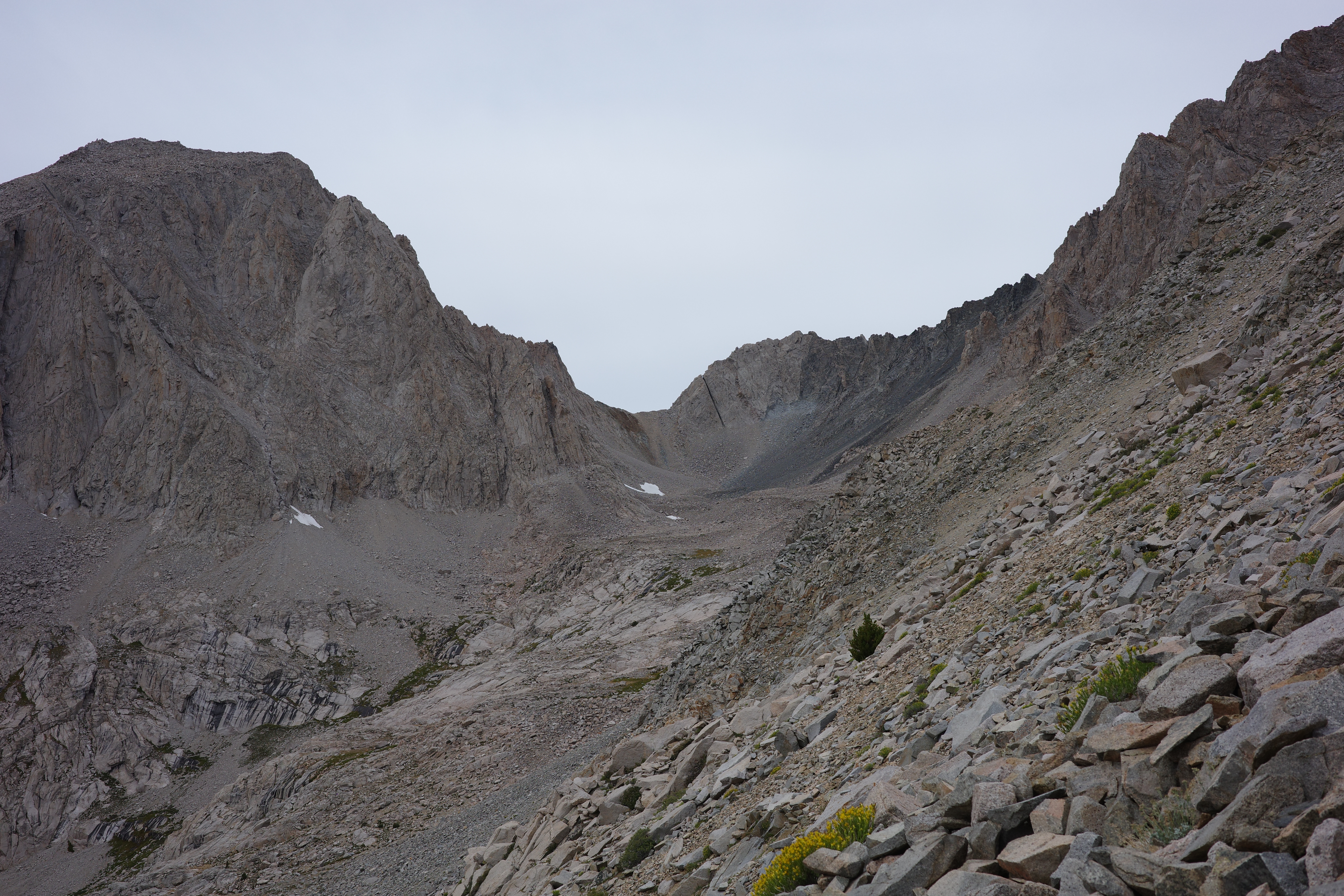
Lake Helen of Troy is right behind the notch in this last photo. Almost to the ridge:

An hour later... at the ridge!
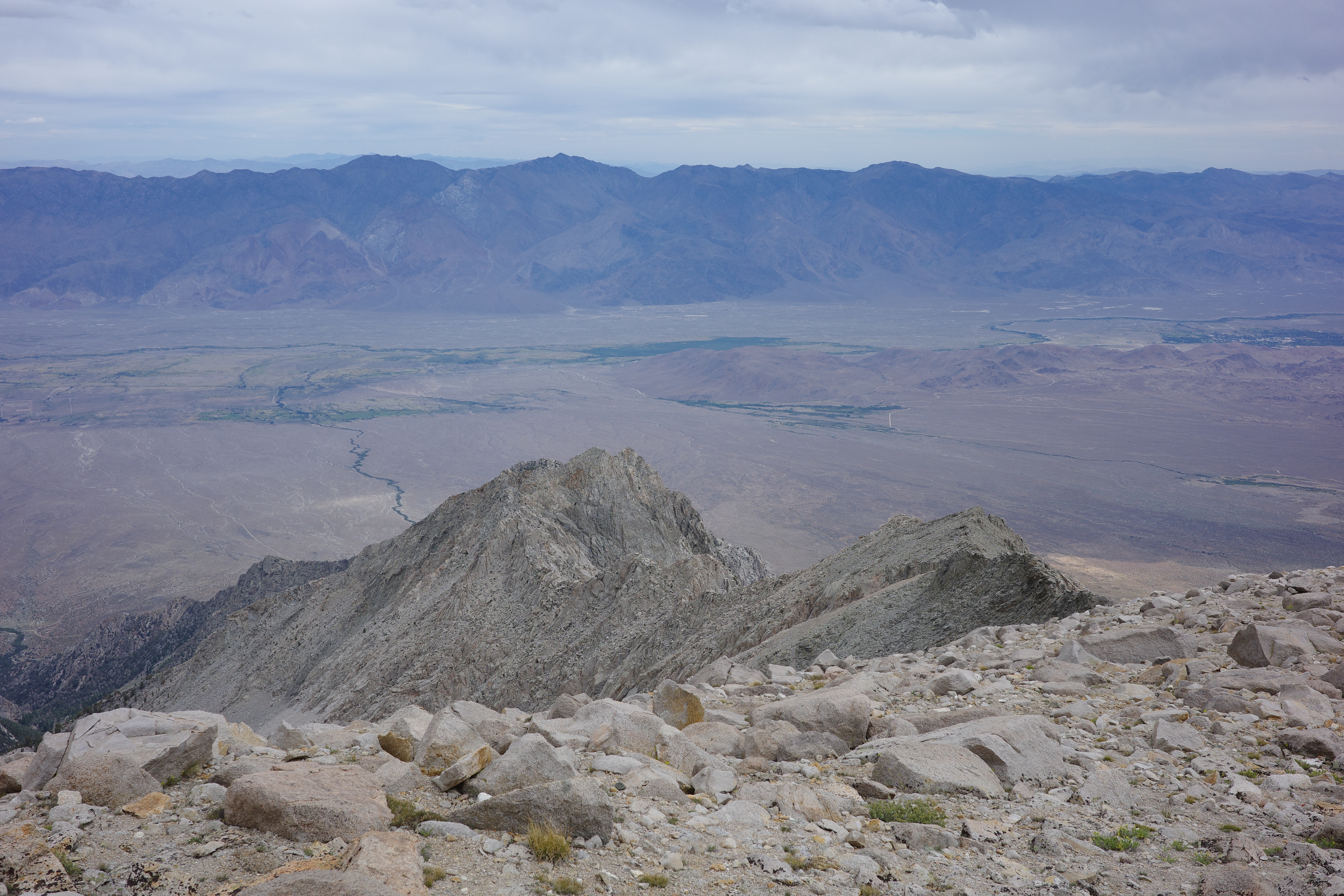
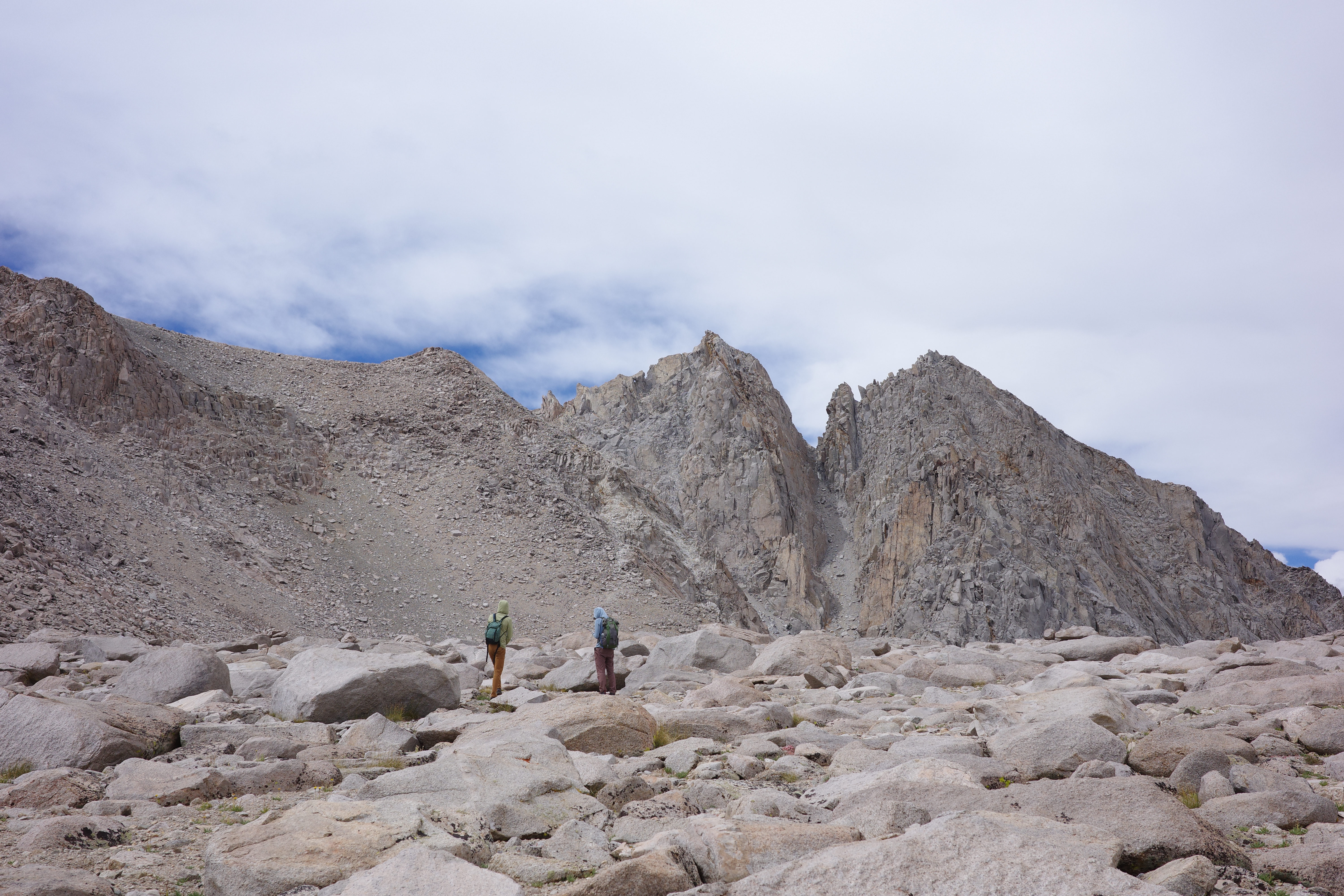
Now we were looking at the final climb
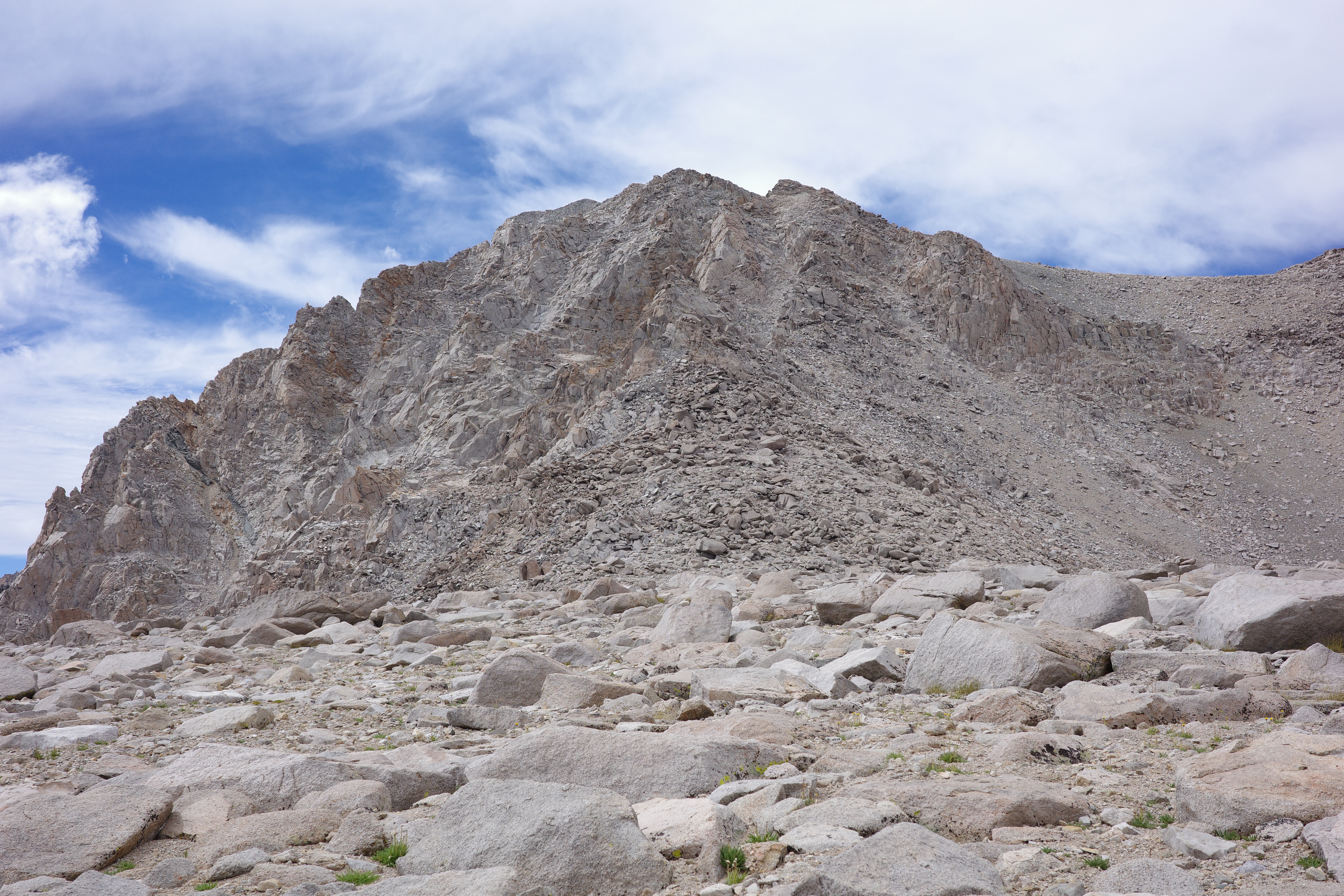
This is the summit. We planned to follow the rock pile straight ahead, and then drop into the gully on the right. I want to say the gully wasn't great, and we climbed the boulders all the way up. It's all steep, but easy class 2-3. more exciting things are available in every direction
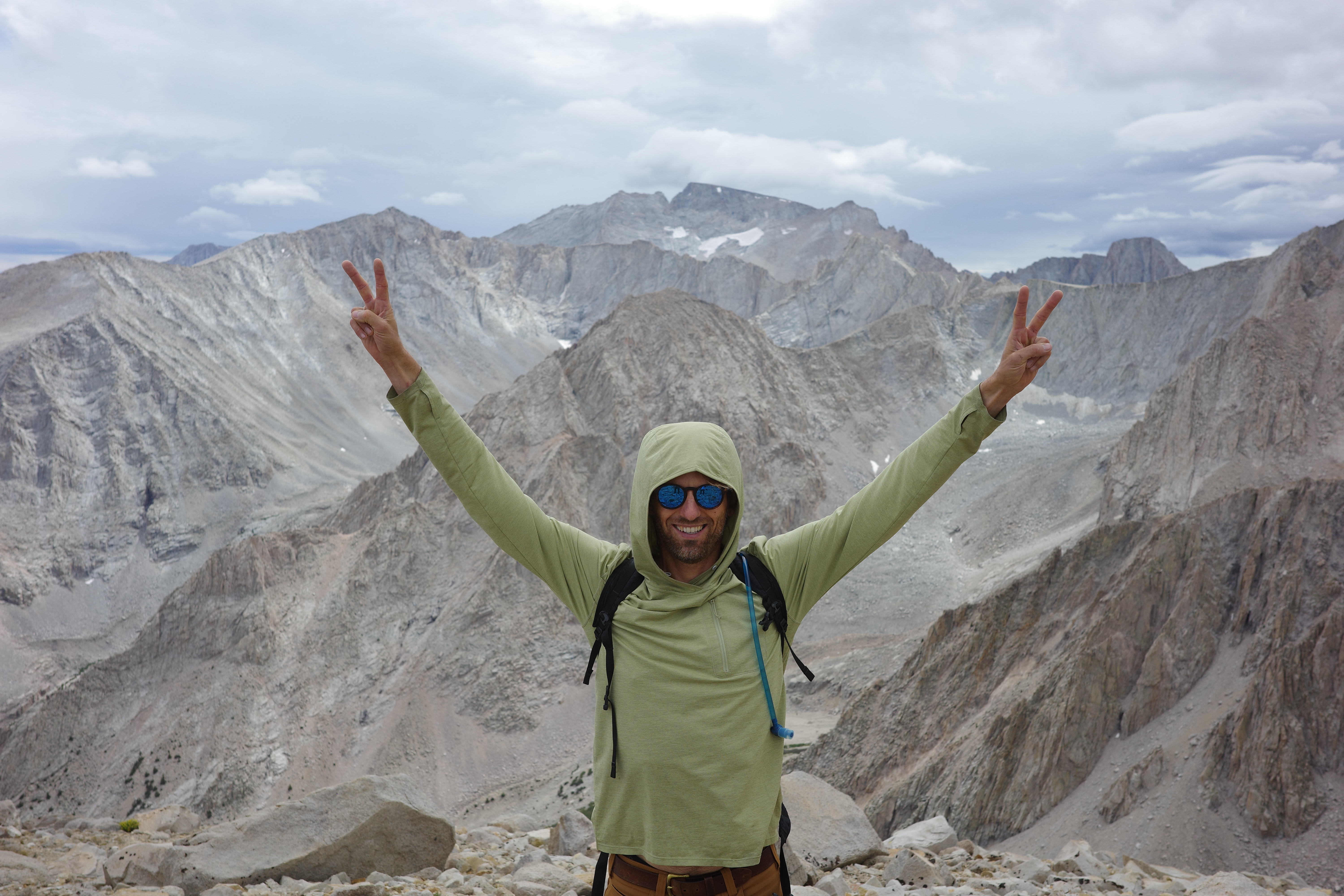
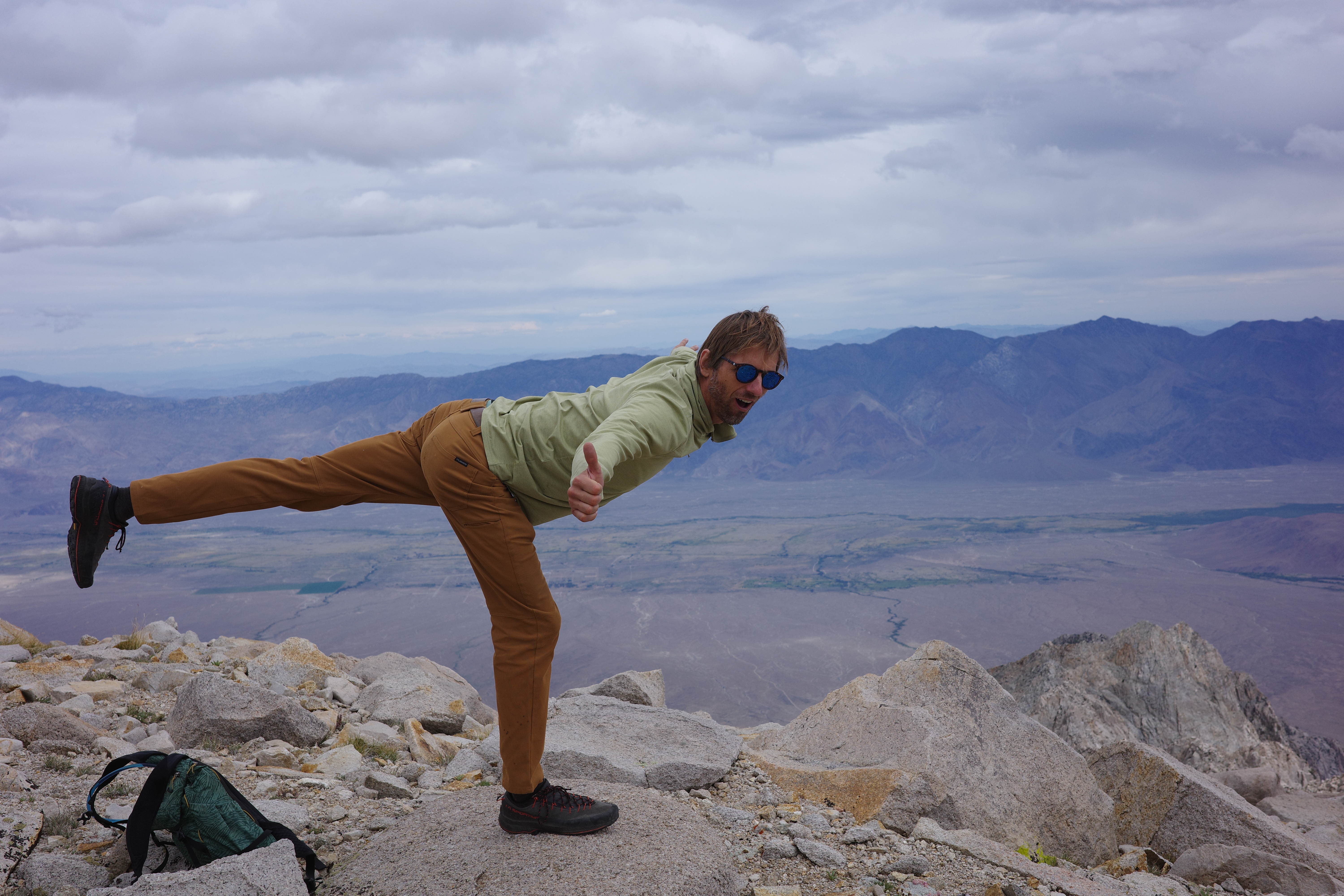
Eventually we topped out!
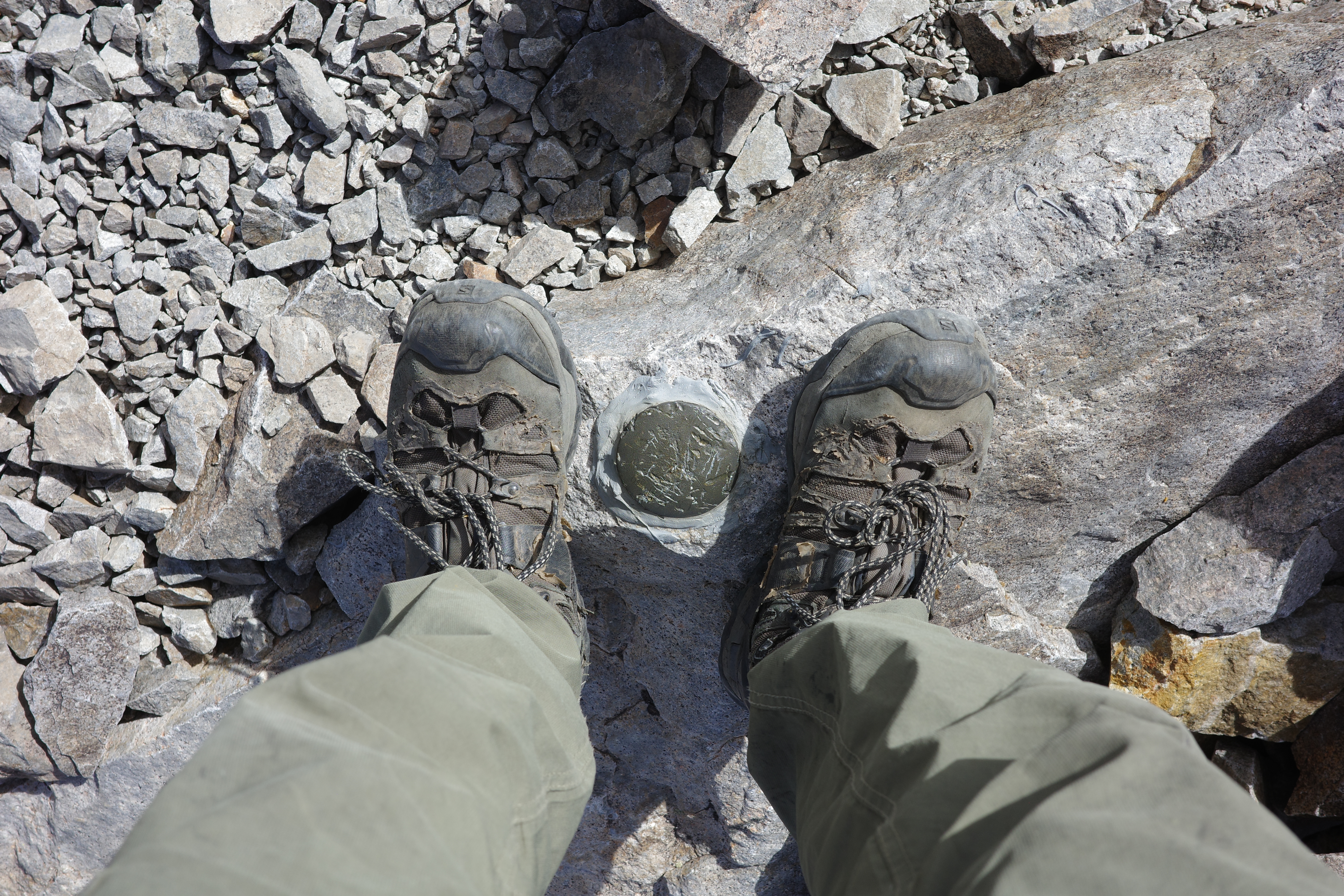
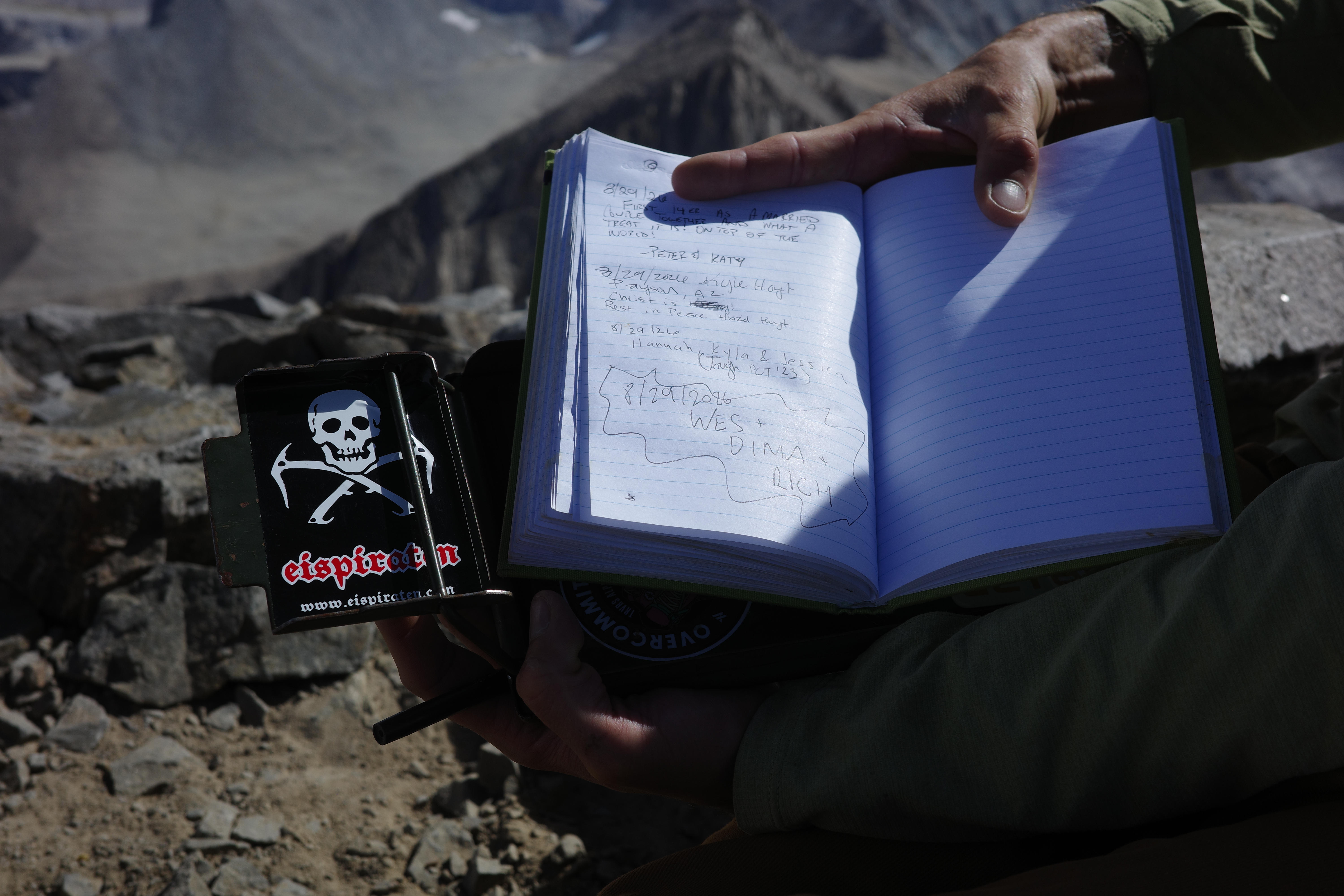
Great views!. Here's Whitney:
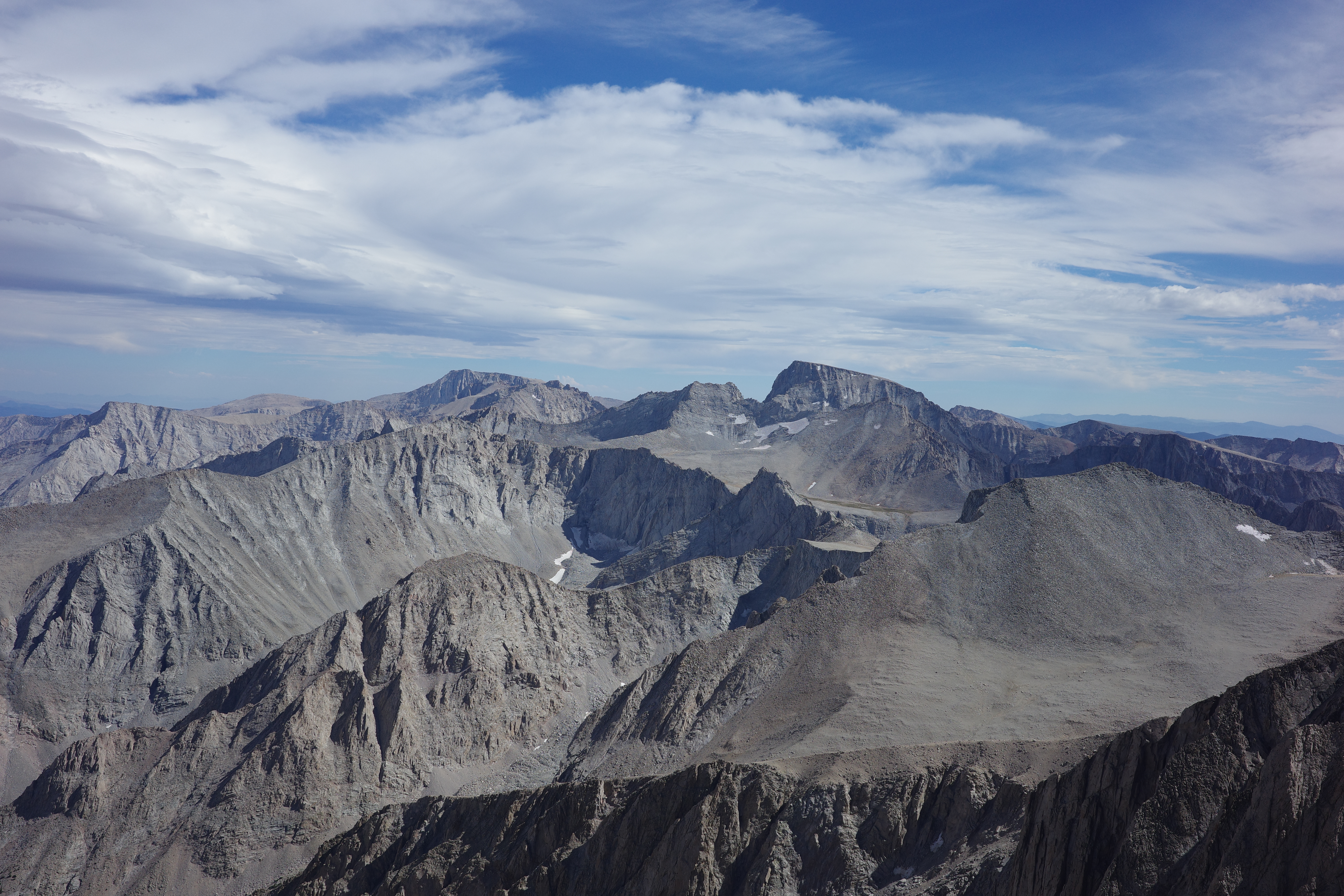
And all sorts of other stuff:
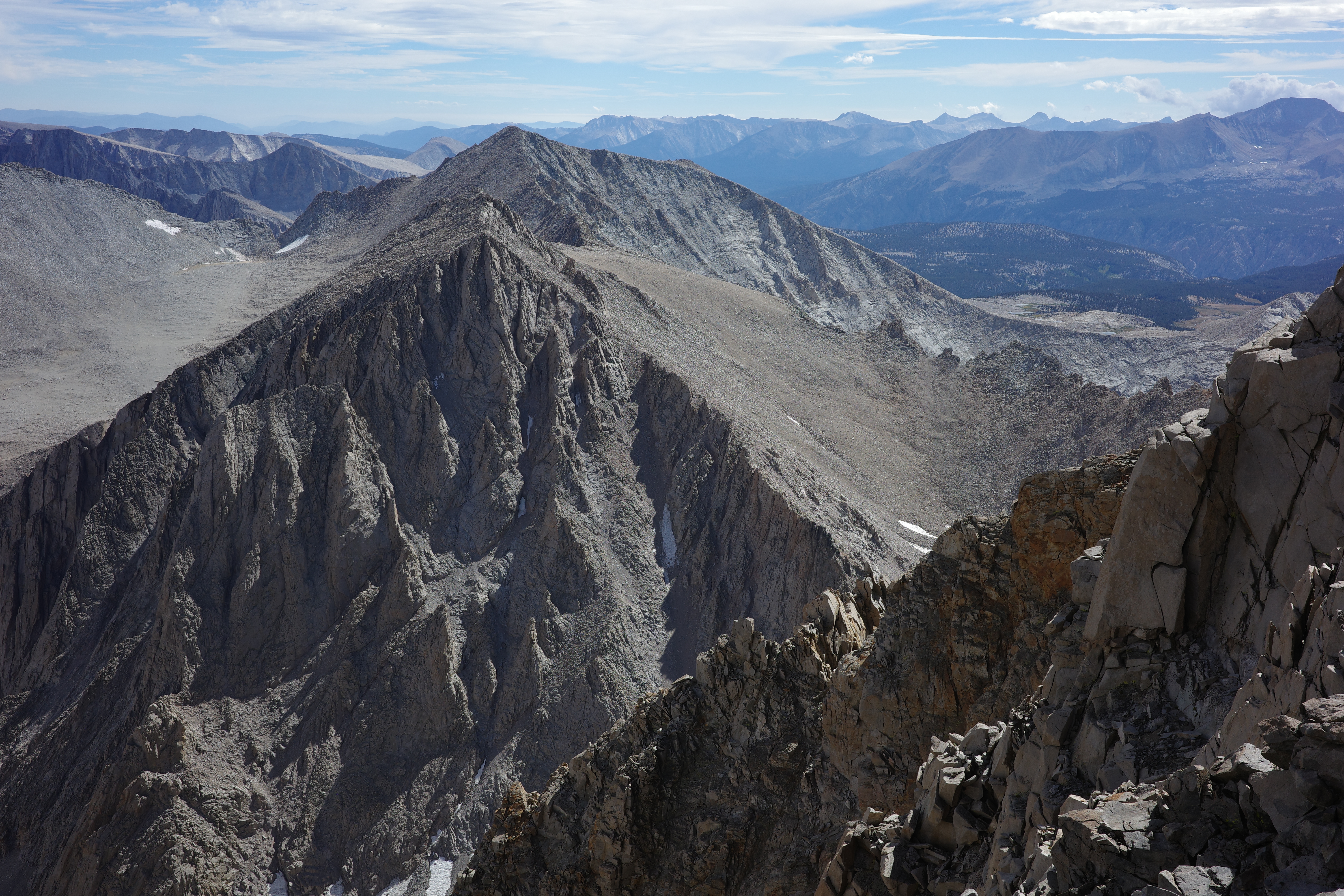
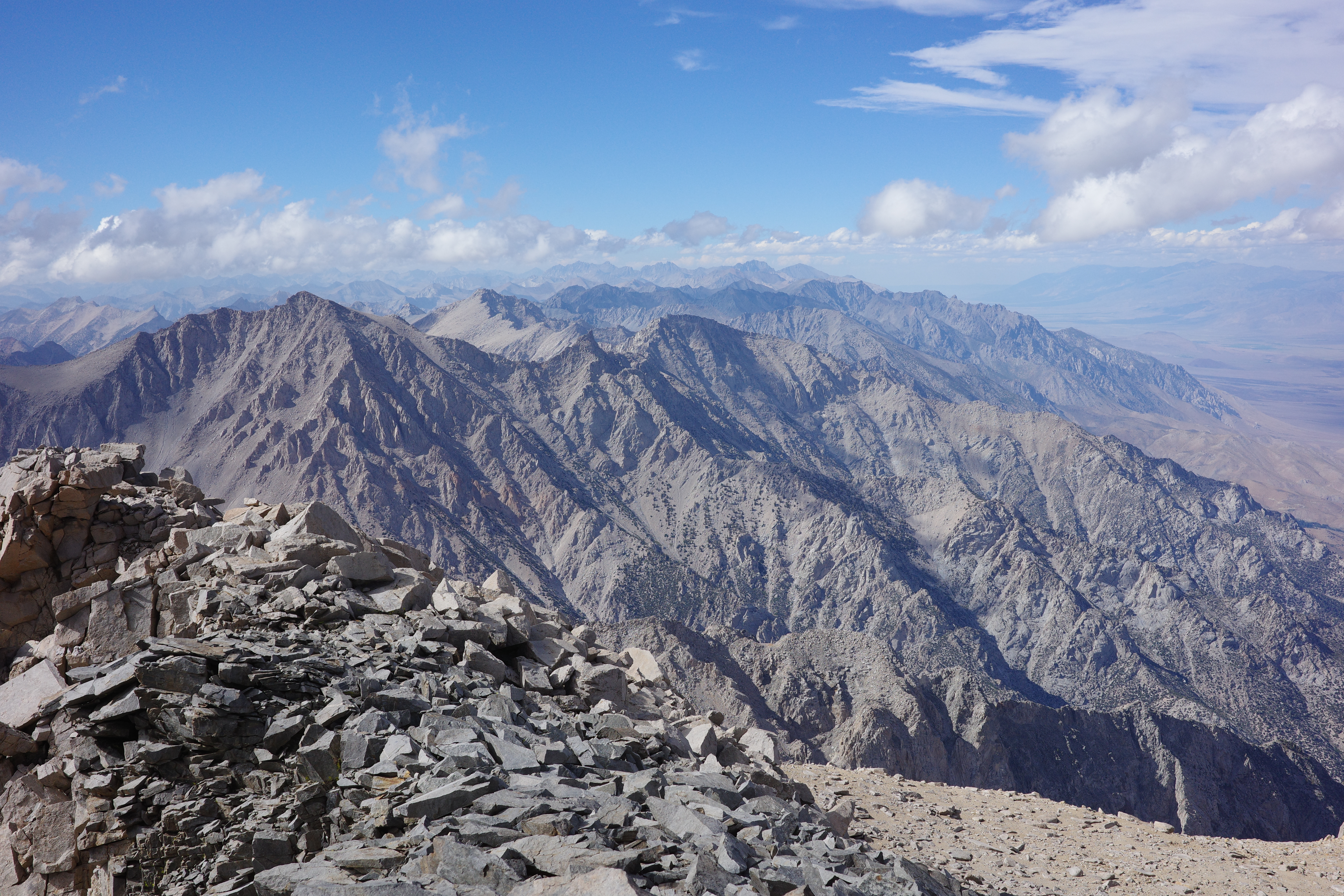
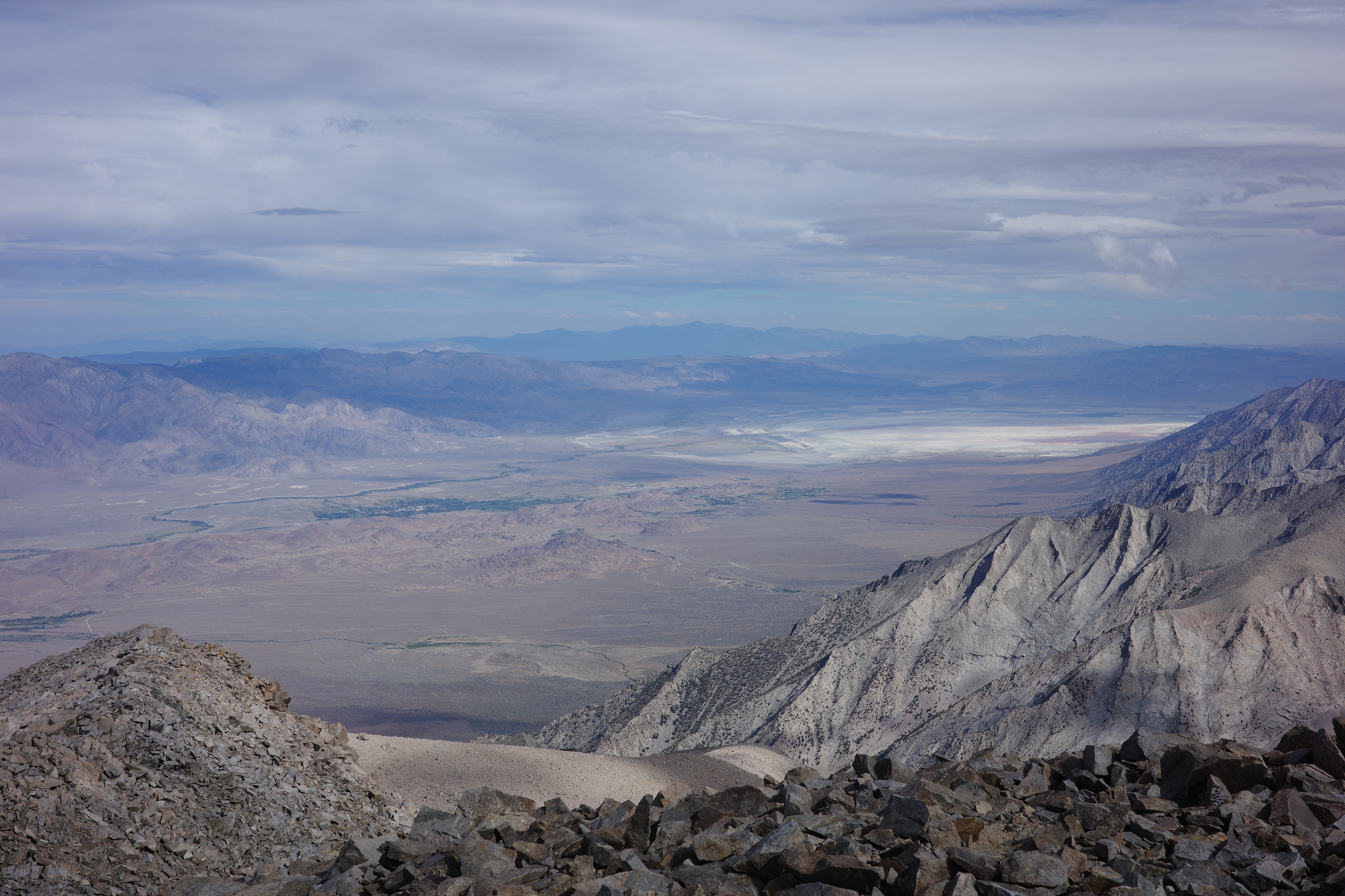
Lots of pretty alpine lakes on the other side:
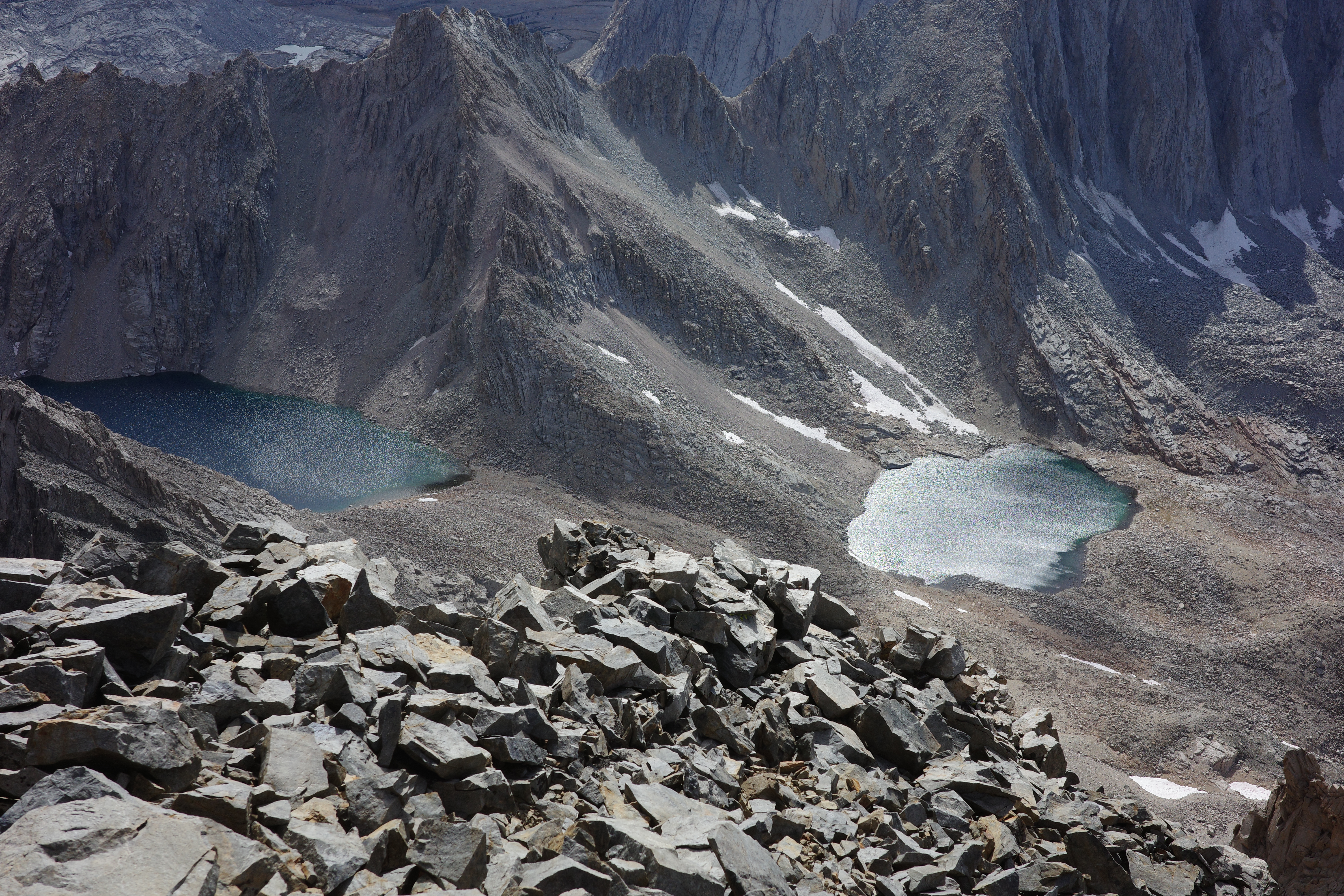
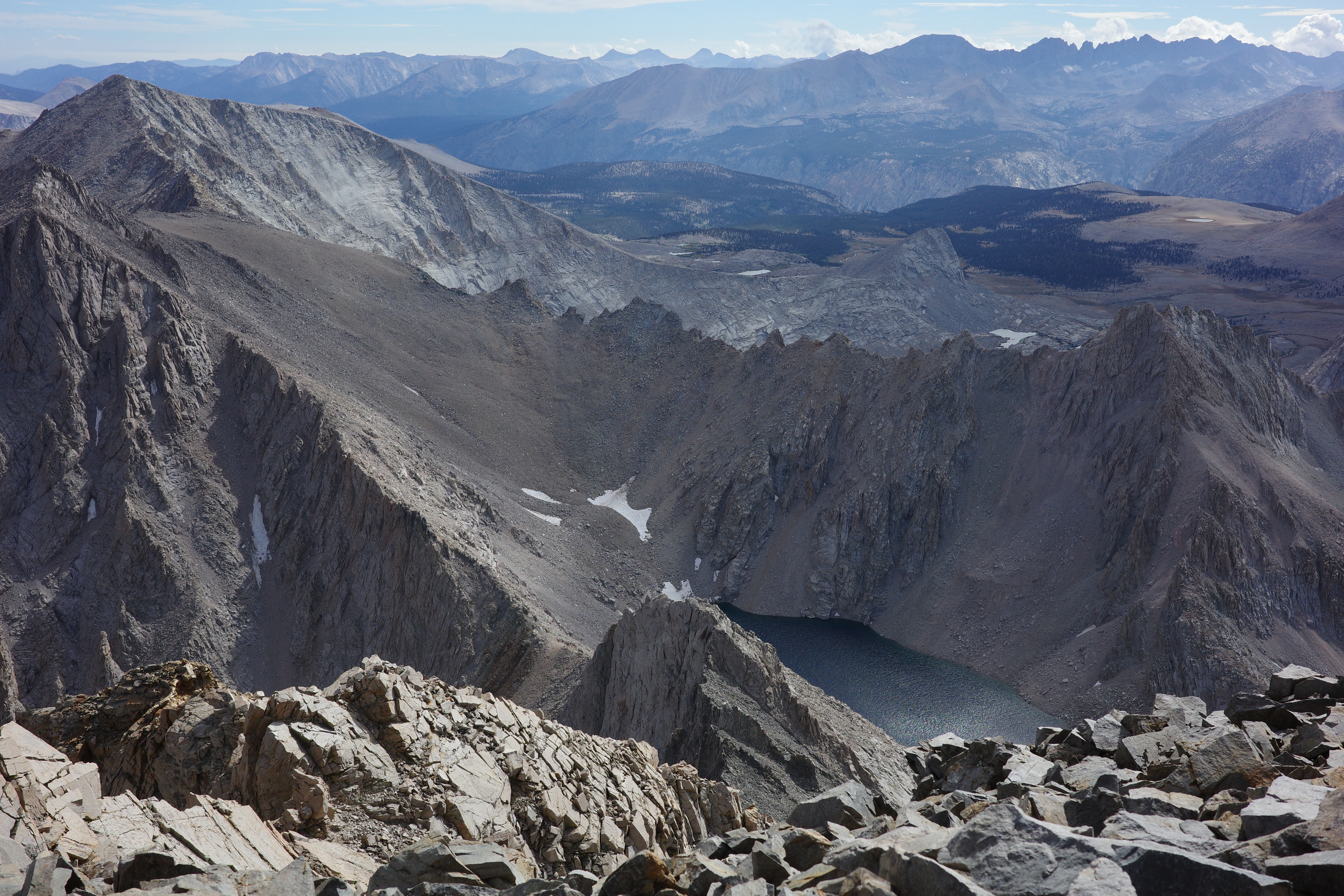
Went back the same way, and saw the same things. Descended the final slope further to the left, to try to scree-surf some of it; kinda worked. The descent back to the creek had some scree-surfing opportunities, but mostly it was all just a long slog. Got back right around sunset.
I think we all got a bit of the AMS, and I got a lot of it. Developed a headache and nausea that didn't go away, even after descending. Felt like crap at camp, went to bed without food, and mostly was fine in the morning.
This was cool. Looking forward to more!