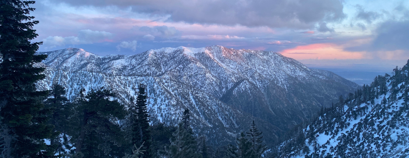
Still not sleeping well and my cardio is severely lacking so I wanted something moderate but the weather is warm or roads are closed or trails are crowded. In 2024 I went from the Nordic Center to Mt Pinos, Sawmill, Sheep Camp, and then attempted to reach Lily Meadows but ran out of energy and time so I aborted a mile from Lily Meadows.
So I opted to connect to where I had left off but starting at the BSA camp. The warmer temps and poor cardio led me to take frequent breaks so I did some pruning in a few sections while catching my breath. Totals 10.2 miles 1600' gain.
.
BSA to Lily Meadows+1mile Extra
-
RH

- Posts: 80
- Joined: Mon Aug 12, 2013 4:03 pm
You do not have the required permissions to view the files attached to this post.
-
dima

- Posts: 1957
- Joined: Wed Feb 12, 2014 1:35 am
- Location: Los Angeles
Thanks for the report! Don't know what causes that cool erosion pattern, but I've seen in before. There's a bunch of it a bit W of where you were, in Quatal canyon:


Something about the local geology
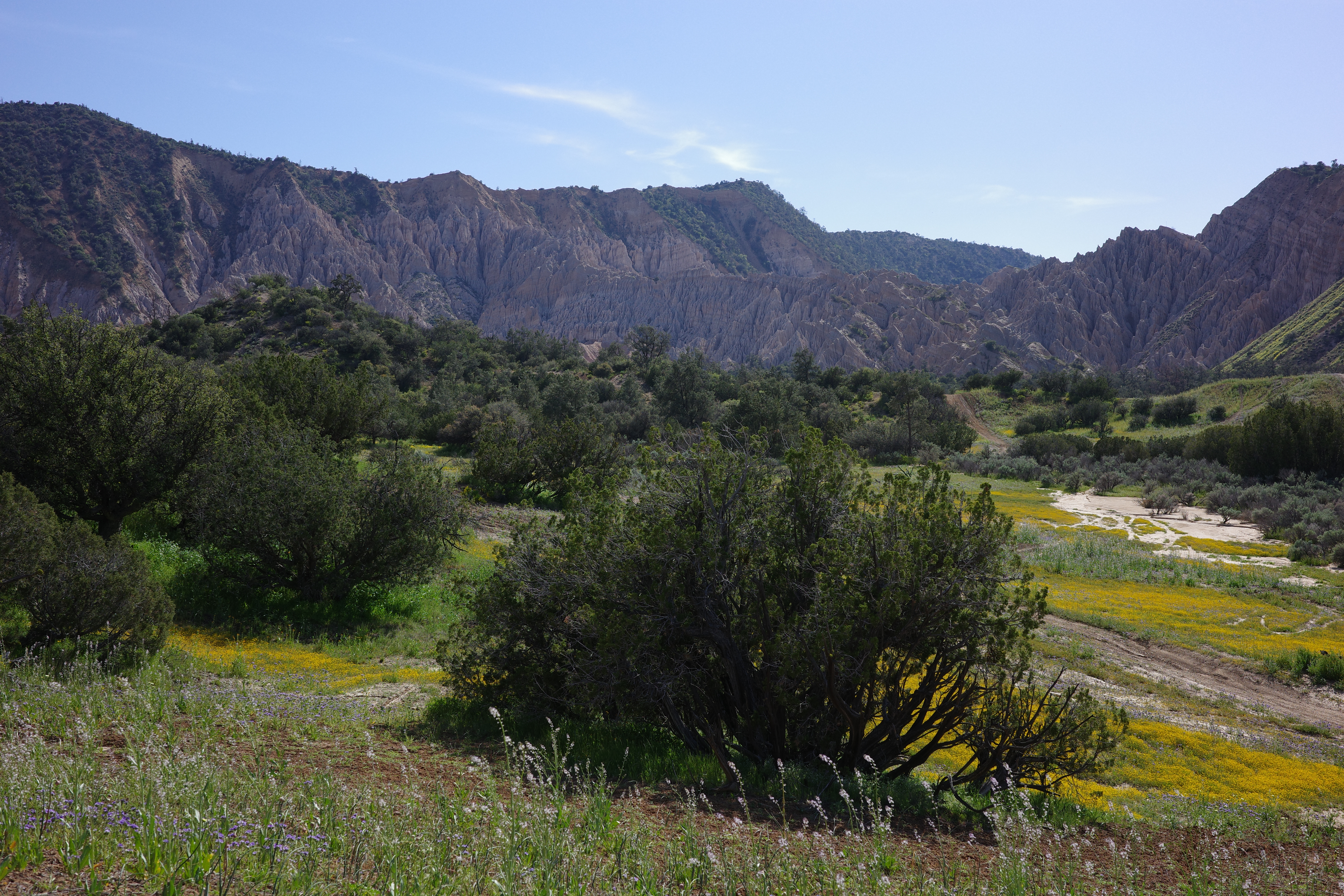
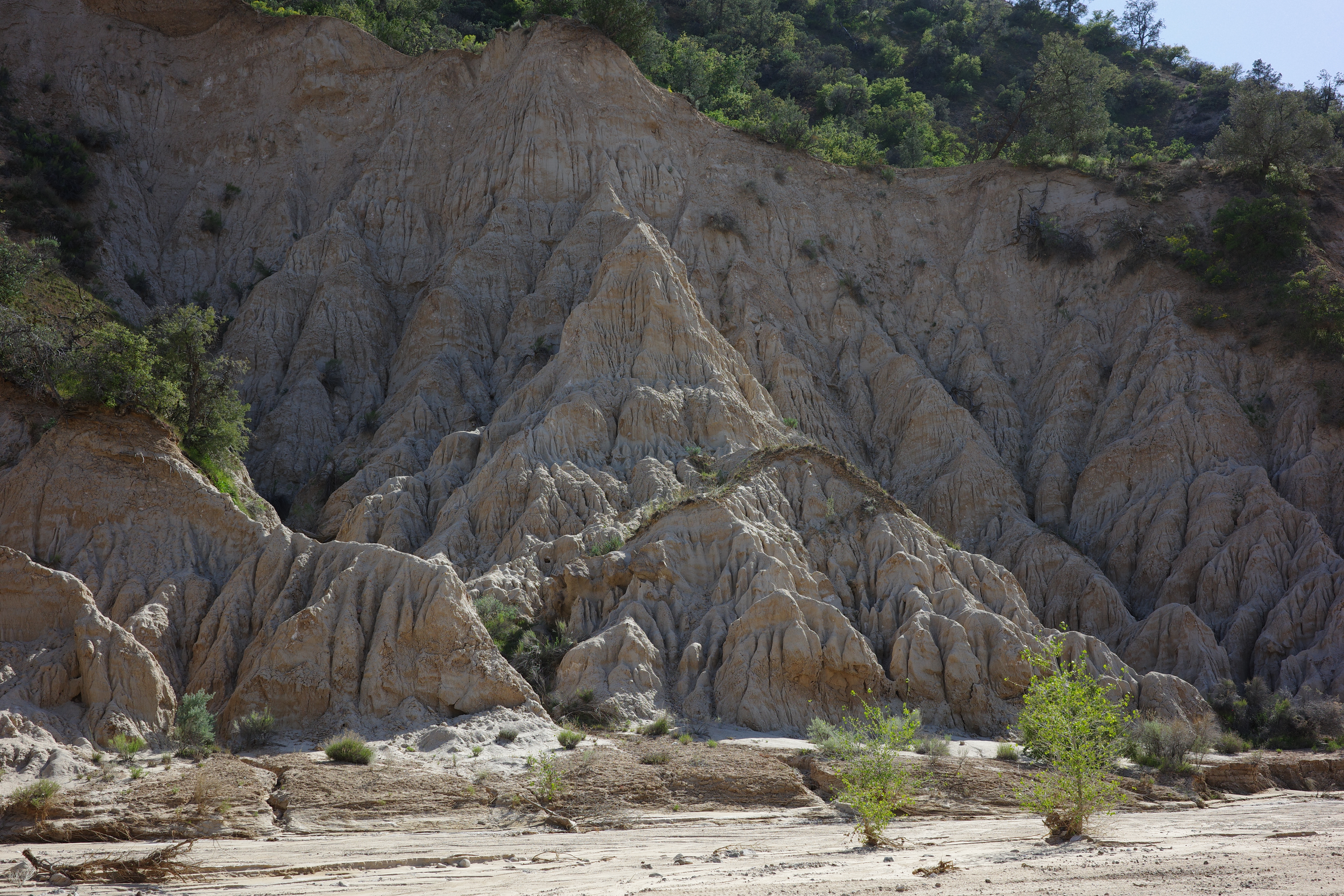
Something about the local geology
-
RH
- Posts: 80
- Joined: Mon Aug 12, 2013 4:03 pm
I looked into it and this gives an overview of those type of formation.
https://www.nps.gov/articles/000/badl-g ... ations.htm
https://www.nps.gov/articles/000/badl-g ... ations.htm
-
JeffH

- Posts: 1408
- Joined: Sun Nov 28, 2010 7:09 am
This looks like a really nice area. How far is Lily Meadows from that trailhead?
"Argue for your limitations and sure enough they're yours".
Donald Shimoda
Donald Shimoda
-
Sean

- Cucamonga
- Posts: 4490
- Joined: Wed Jul 27, 2011 12:32 pm
Thanks for the report and photos. I've learned to speak squirrel. Usually they're asking if you have some peanuts. I believe those formations are due to water eroding softer, looser matter before harder, denser stuff. But @Nate would be able to tell you.
-
Girl Hiker

- Posts: 1481
- Joined: Fri Apr 04, 2014 7:46 am
Referring to picture #3 we call those the Razorbacks. A name my hiking leader made up. I hiked with one of my hiking groups to some secret places in the Los Padres where these wonderful formations exist. They are beautiful and very secluded. There is so much more to explore in this area.
I would hesitate to tell people of the exact location so that they area won't be trashed. But I have the GPS tracks and I might be willing to share.
razorback ridge to Guillermo Mtn
razorback ridge part 2
razorbacks part 4
razorbacks part 5
I would hesitate to tell people of the exact location so that they area won't be trashed. But I have the GPS tracks and I might be willing to share.
razorback ridge to Guillermo Mtn
razorback ridge part 2
razorbacks part 4
razorbacks part 5
-
RH
- Posts: 80
- Joined: Mon Aug 12, 2013 4:03 pm
Thanks for the links and photos! Definitely looks amazing and intense! I've seen similar on both sides of the greater Frazier Park/PMC areas but have not explored them yet. Maybe when the weather cools down I might hit you up for your track(s) or at least where you parked. But understandable to keep some things private.Girl Hiker wrote: Wed Aug 19, 2026 1:57 am Referring to picture #3 we call those the Razorbacks. A name my hiking leader made up. I hiked with one of my hiking groups to some secret places in the Los Padres where these wonderful formations exist. They are beautiful and very secluded. There is so much more to explore in this area.
I would hesitate to tell people of the exact location so that they area won't be trashed. But I have the GPS tracks and I might be willing to share.
During the pandemic, my friends had convinced me to write a book about some of the routes we had taken because they weren't in any books because there were no trails or they were old disused trails or a few unofficial trails. But ultimately after I started planning it, I abandoned it because finding these routes one had to be a great researcher and/or creative map-satellite interpreter so I thought if I put it all in print, everyone will start using the routes and posting them on social media. We've all seen plenty of trails/canyons/waterfalls that were once pristine until people started posting them on social media where they quickly gained crowds, heavy erosion, trash, water poisoning, and graffiti.