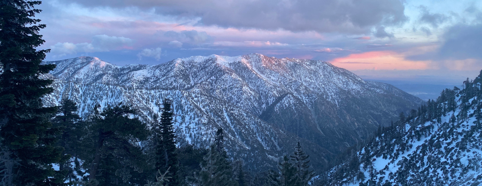
Hey Folks, I’m taking a friend out for an overnighter on Sat. We’re both long time mountain bike riders and fairly new to bike packing. My one and only trip was trans Catalina a couple weeks ago and it got me hooked.
Here are the ideal parameters. Within two hours of Altadena, 1200 to 3000’ gain, perhaps start at elevation or near coast to avoid heat. I’m sure we’ll be sucking wind if we start >6k but whatever. My buddy wants to stay off single track due to his gravel set up. Ah well. Lastly, I hate being around a lot of people when I camp. But who does?
Any ideas?
My Lowe trail camp behind my house is a fallback but I ride these trails all the time!
Overnight Bikepacking Recommendation
-
dima

- Posts: 1939
- Joined: Wed Feb 12, 2014 1:35 am
- Location: Los Angeles
The chill biking is in the Western part of the San Gabirels. Good destination campgrounds:
- Mount Pacifico
- Chilao
- Lightning Point
- Horse flats
Lots of dirt roads that connect to those. You can also go further out: a few weeks ago I spent the night at Sawmill camp, then rode to Liebre mountain and down the Ridge Route. Really good.
- Mount Pacifico
- Chilao
- Lightning Point
- Horse flats
Lots of dirt roads that connect to those. You can also go further out: a few weeks ago I spent the night at Sawmill camp, then rode to Liebre mountain and down the Ridge Route. Really good.
-
Matthew

- Supercaff
- Posts: 650
- Joined: Mon Nov 30, 2015 8:25 am
- Location: Pasadena
I second lightening point! Nice paved gated road all the way but you'll have to plan on only maybe filling up water from a spring since they're only sometimes running. Also check out west fork San Gabriel river!
I too live in the same area as you and loved bikepacking to idlehour campground. Mt. Lowe is also a super good option, plus there's water hopefully running
I too live in the same area as you and loved bikepacking to idlehour campground. Mt. Lowe is also a super good option, plus there's water hopefully running
stoke is high
-
Mauronic
- Posts: 5
- Joined: Fri Jul 03, 2026 2:52 pm
Thanks guys, lots of great options to check out tomorrow. It looks like lightning point is closed for rehab unfortunately.
I gotta practice route planning (eg surface & grade). I’m usually doing that for hiking and skiing - not stuff on two wheels.
I’m using Gaia and sometimes CalTopo.
PS I like the looks of this area and haven’t explored it - will be pretty cool to cross paths with PCT thru hikers. (Bucket list)
I gotta practice route planning (eg surface & grade). I’m usually doing that for hiking and skiing - not stuff on two wheels.
I’m using Gaia and sometimes CalTopo.
PS I like the looks of this area and haven’t explored it - will be pretty cool to cross paths with PCT thru hikers. (Bucket list)
-
Matthew
- Supercaff
- Posts: 650
- Joined: Mon Nov 30, 2015 8:25 am
- Location: Pasadena
I use caltopo for most route planning with bikes and hiking but when it comes to mapping long segments, I'd use either brouter https://brouter.de/brouter-web/#map=5/5 ... 0/standard or ridewithgps. Brouter is super good if you want to plan stuff in the city cuz you can adjust so many aspects of the route planning algorithm to your own preferences.
Both brouter and ridewithgps are free and super nice!
Both brouter and ridewithgps are free and super nice!
stoke is high
-
dima
- Posts: 1939
- Joined: Wed Feb 12, 2014 1:35 am
- Location: Los Angeles
Also, consider using the train. Metrolink goes to Palmdale and Santa Clarita and Acton. There's plenty of room for bikes, and you can put together nice one-way routes.