We decided to run this clockwise, to do the big trail section on the descent. And to start at the top of the paved road, so that we'd have maximum daylight, and to do the paved climb out in the dark, if need be.
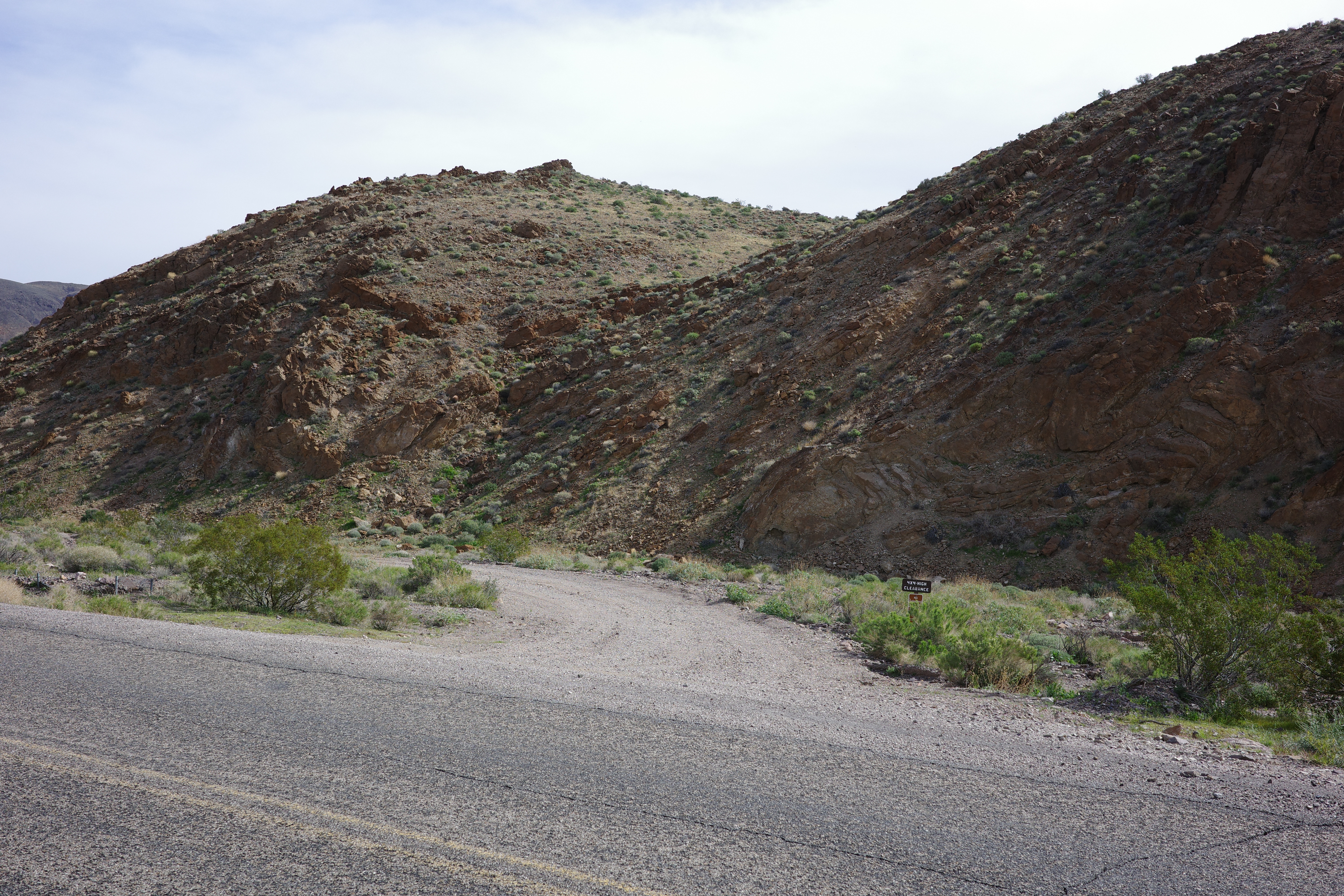
Alright. The start is a bit below Daylight Pass. It is unmarked, and doesn't even have a pullout.
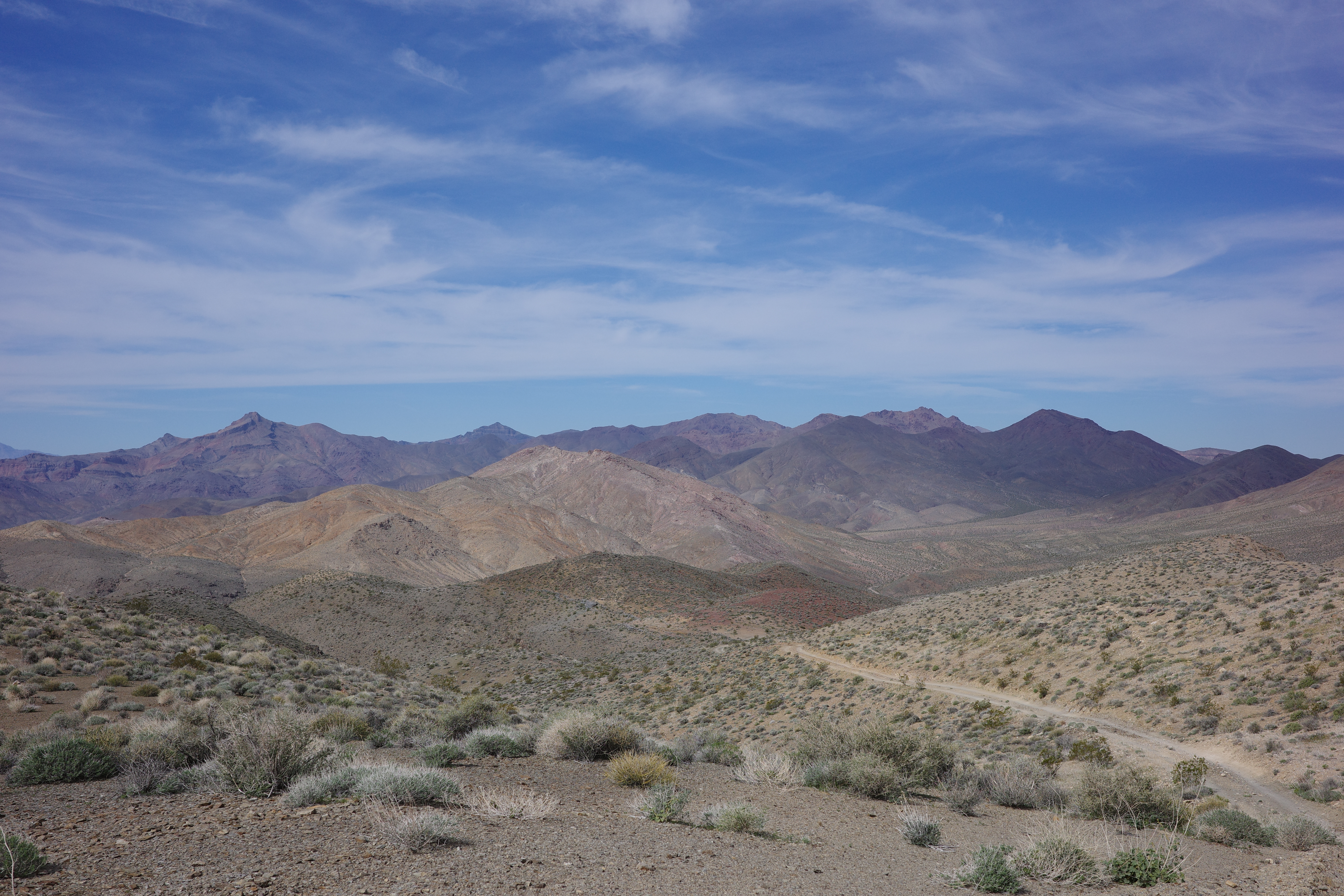
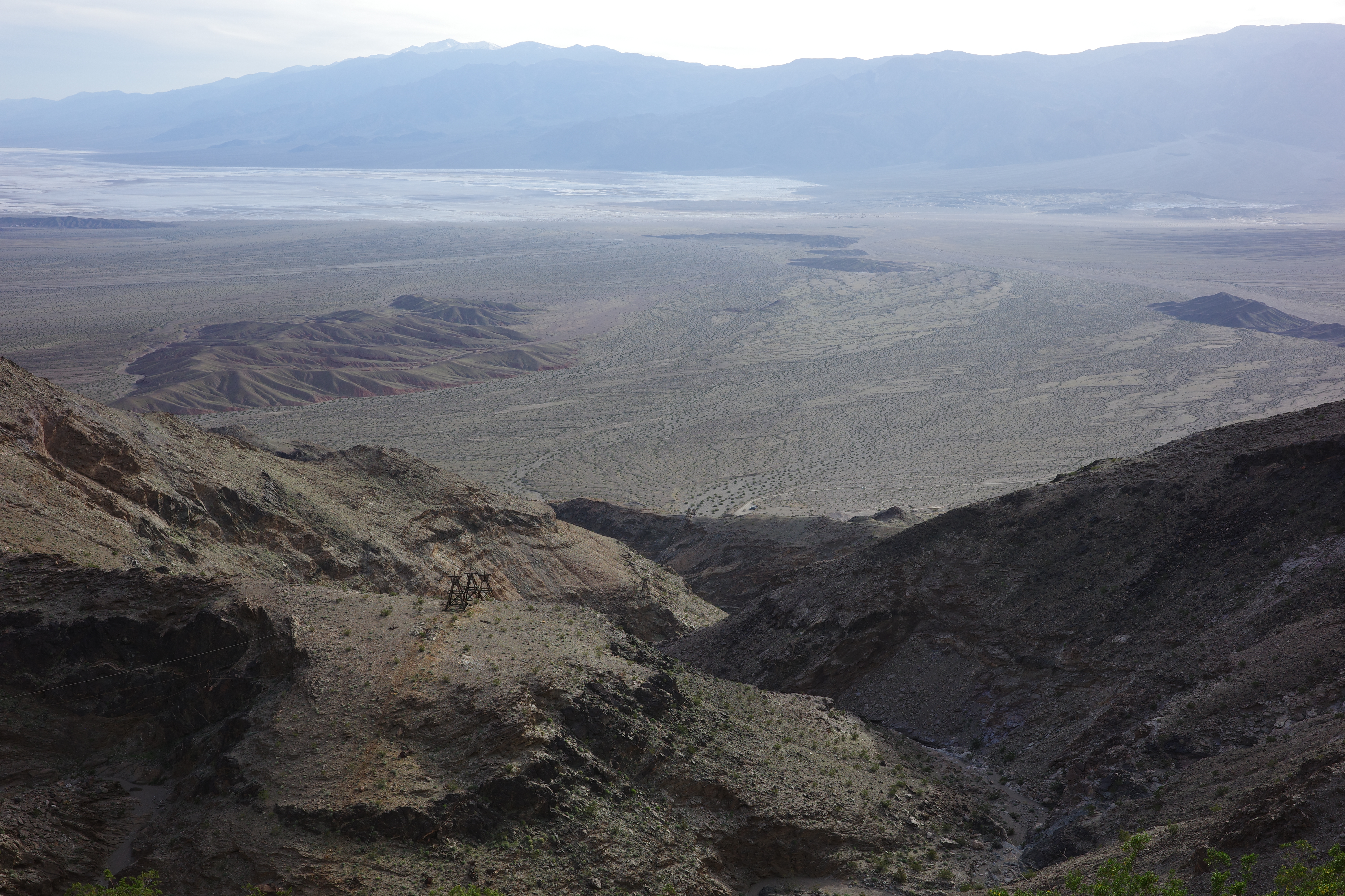
The dirt road goes up and down a bit, and the views improve as you go
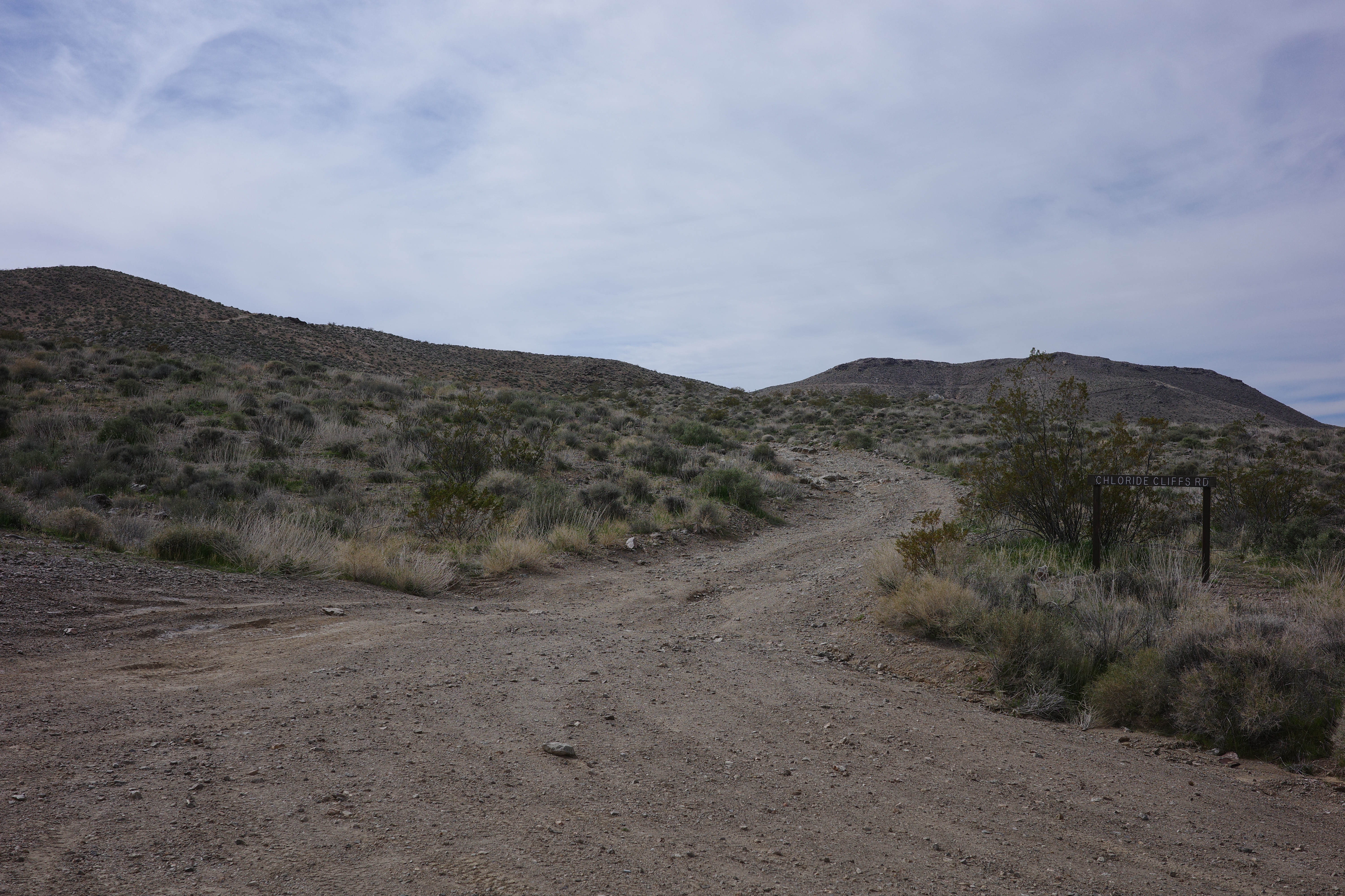
There's nothing here. Eventually we got to the turnoff to Chloride Cliffs (and Chloride City):
This isn't much of a city anymore. There's a network of old mining roads and trails and many shafts and some old falling-apart equipment and a still-standing shack or two. We went straight to the downtown area.

There're shafts immediately behind and above this building. They're sealed sorta, don't look very stable, and aren't all that exciting (we went into one of them). Here we left the main road, and joined an old mining road towards Chloride Cliffs

More mining roads here

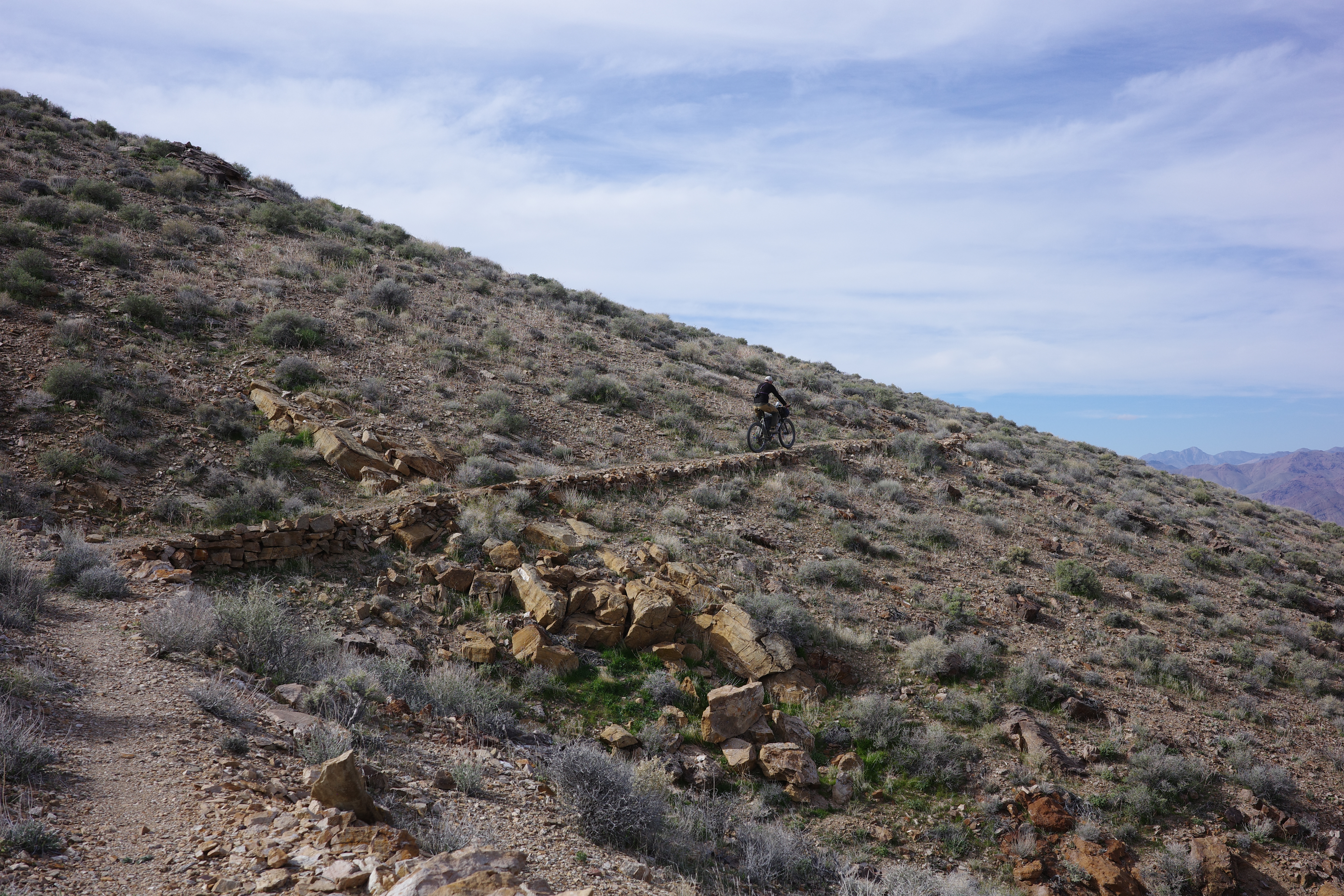
The Chloride Cliffs are behind the pass on the left. The map showed a direct route down from there. On the map this looked a bit too straight for my liking, so we aimed for the trail that branches off the bend in the road on the right of the photo: this connects to a more winding trail that also appears on the old USGS topos. Here we visited another mine
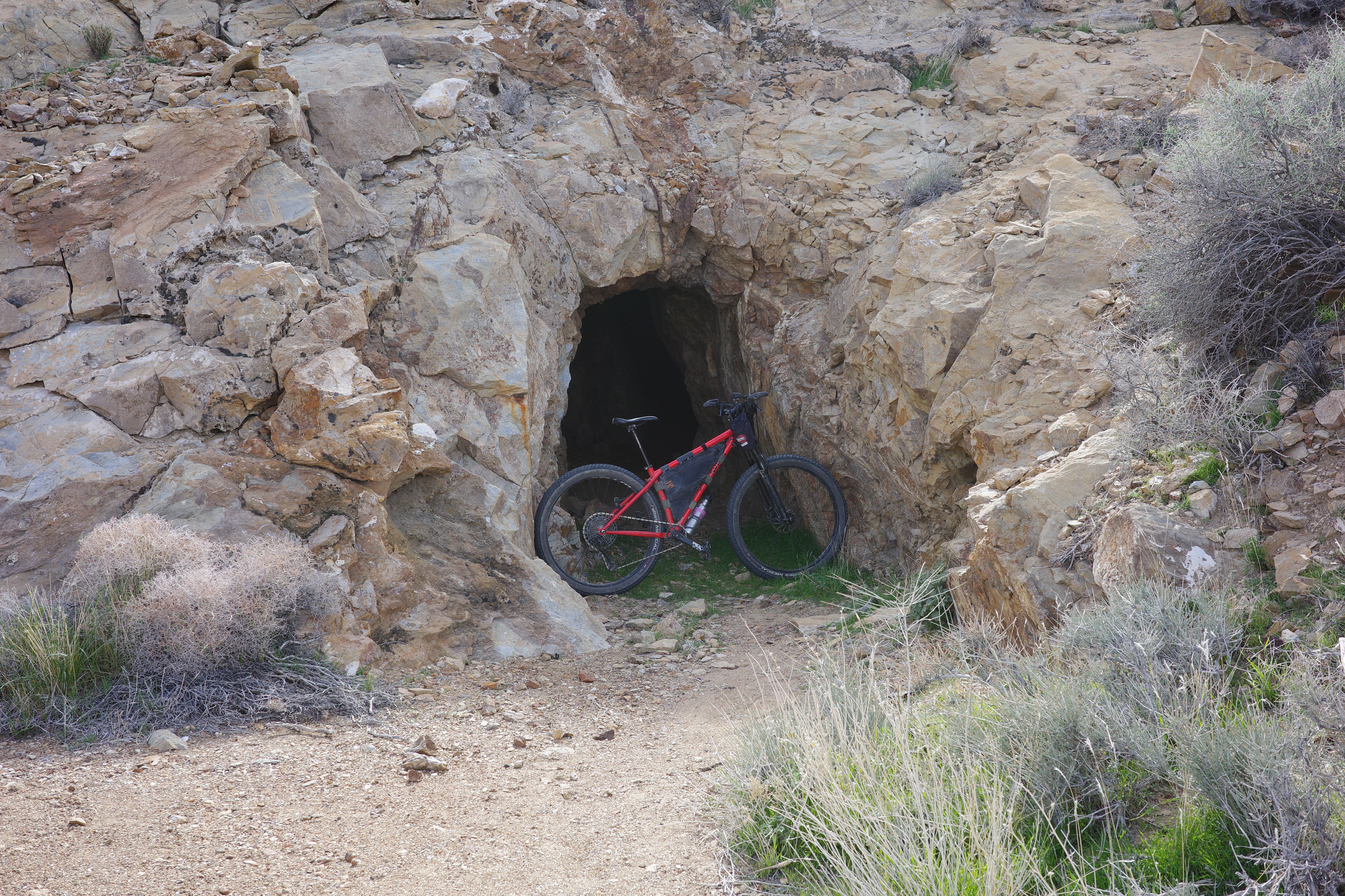
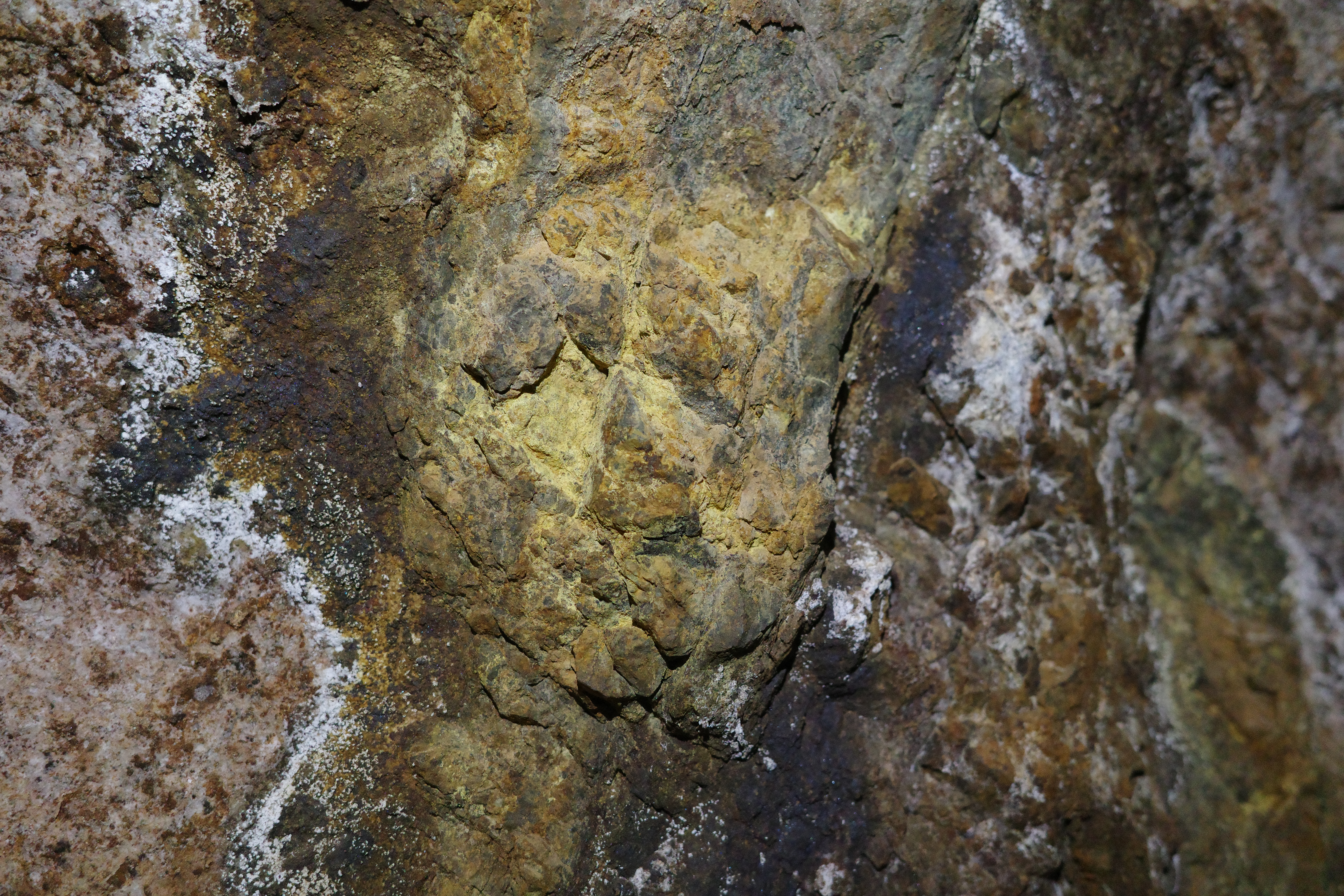
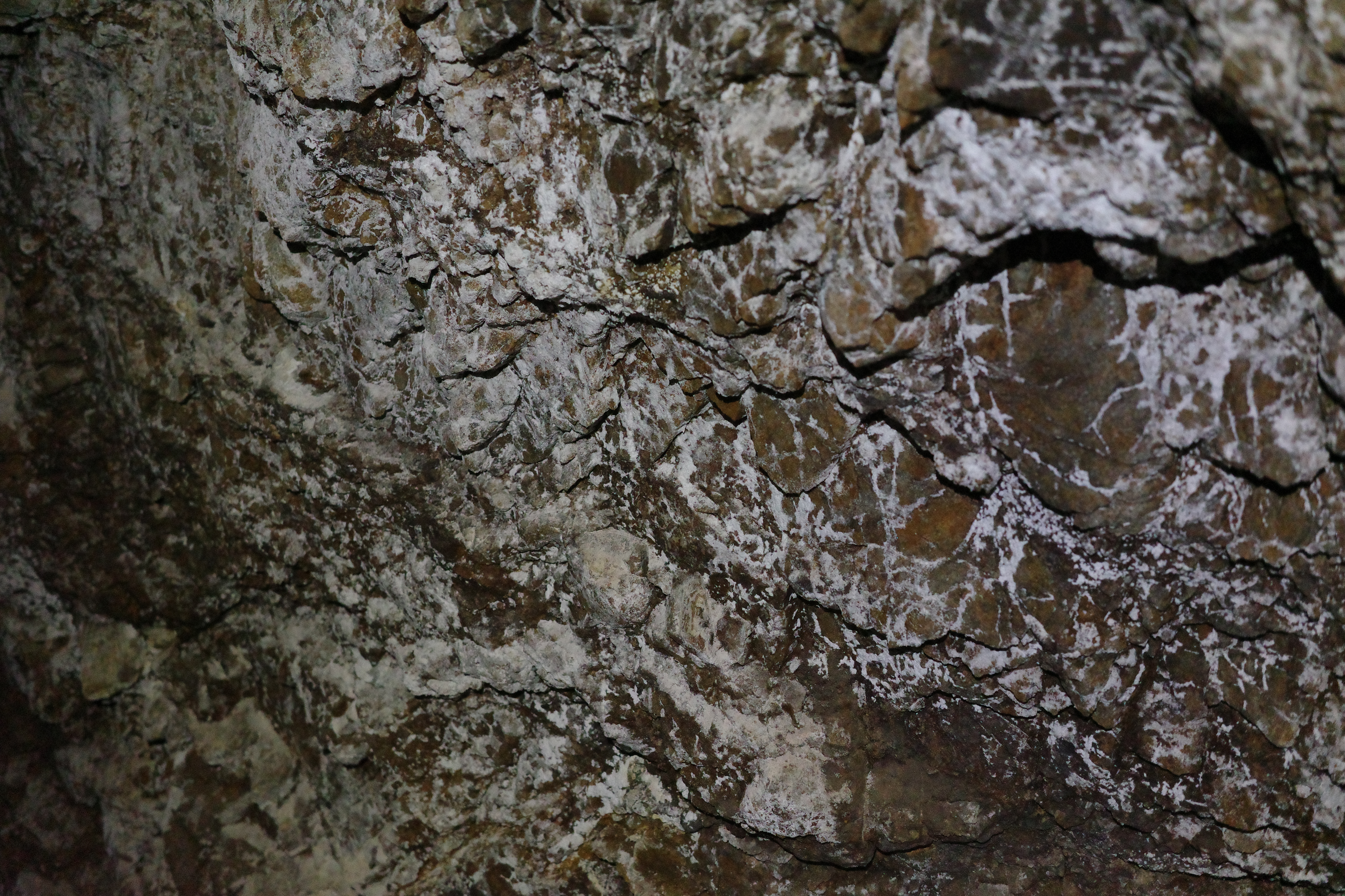
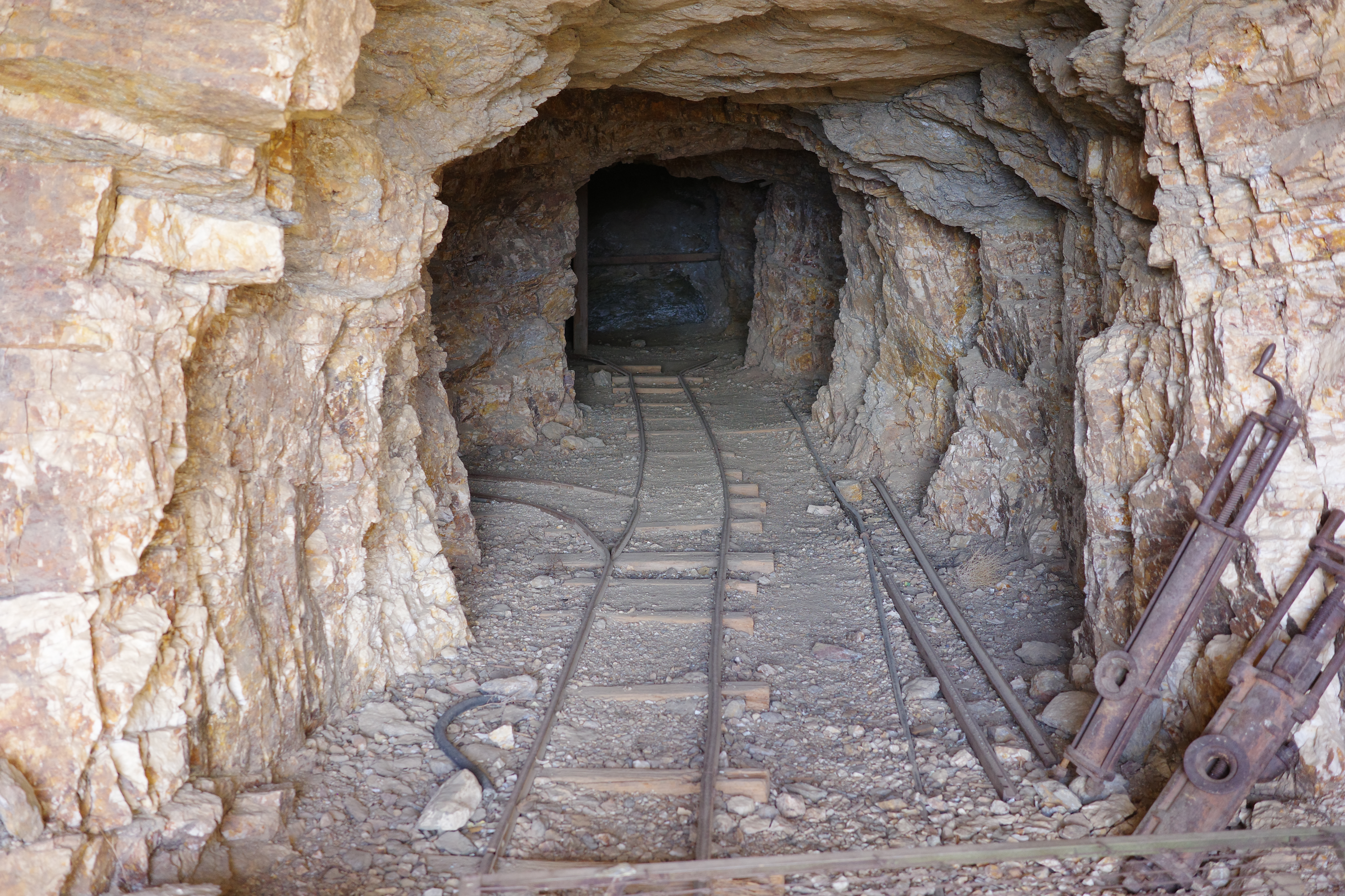
Since this is slightly off the main drag, the shafts aren't sealed. This was much more stable-looking too, so we explored for a bit. It goes back quite far, has colorful rock, and is even wet in places.
Now the fun time starts! The trail is initially in decent condition and easy to follow and ride
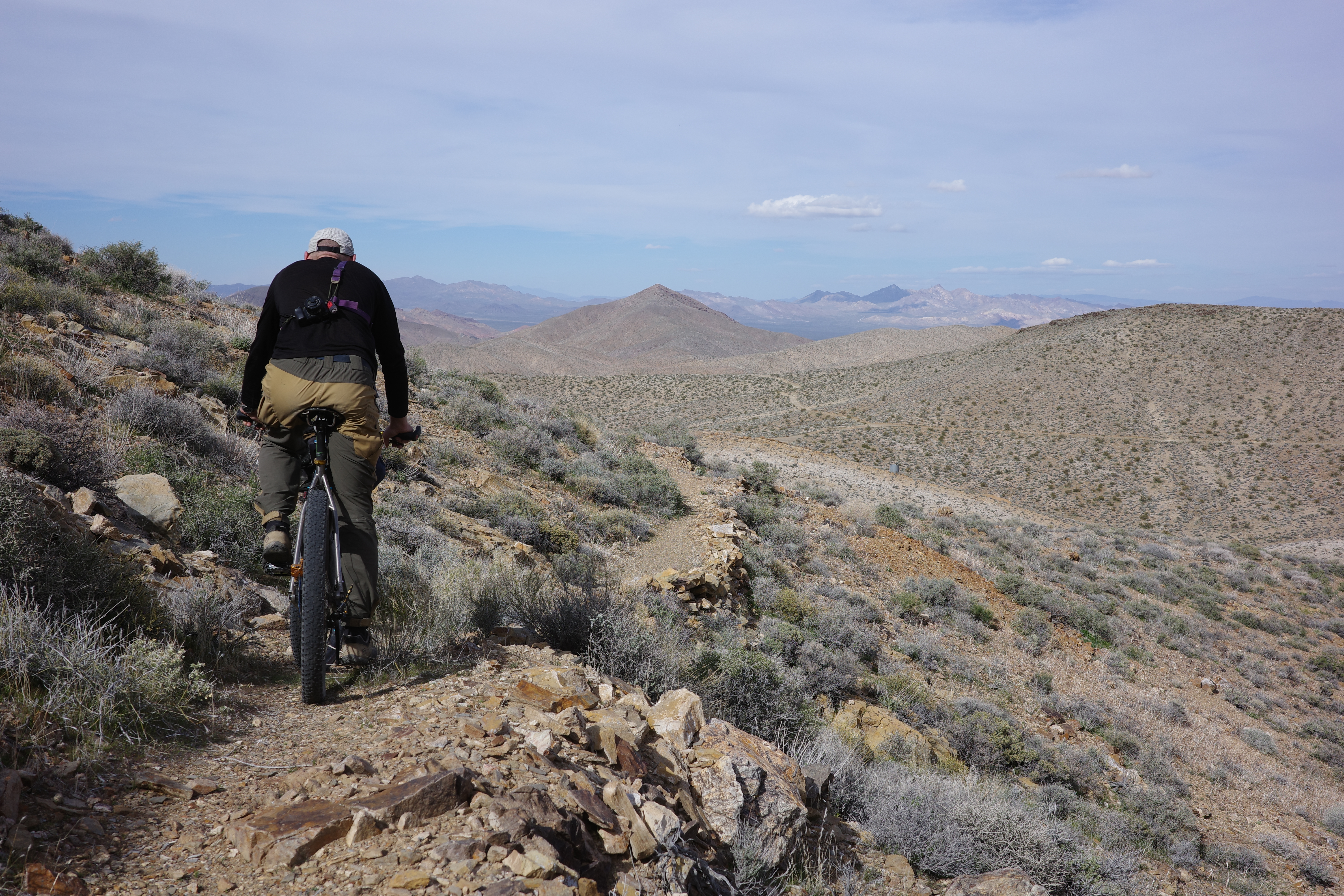
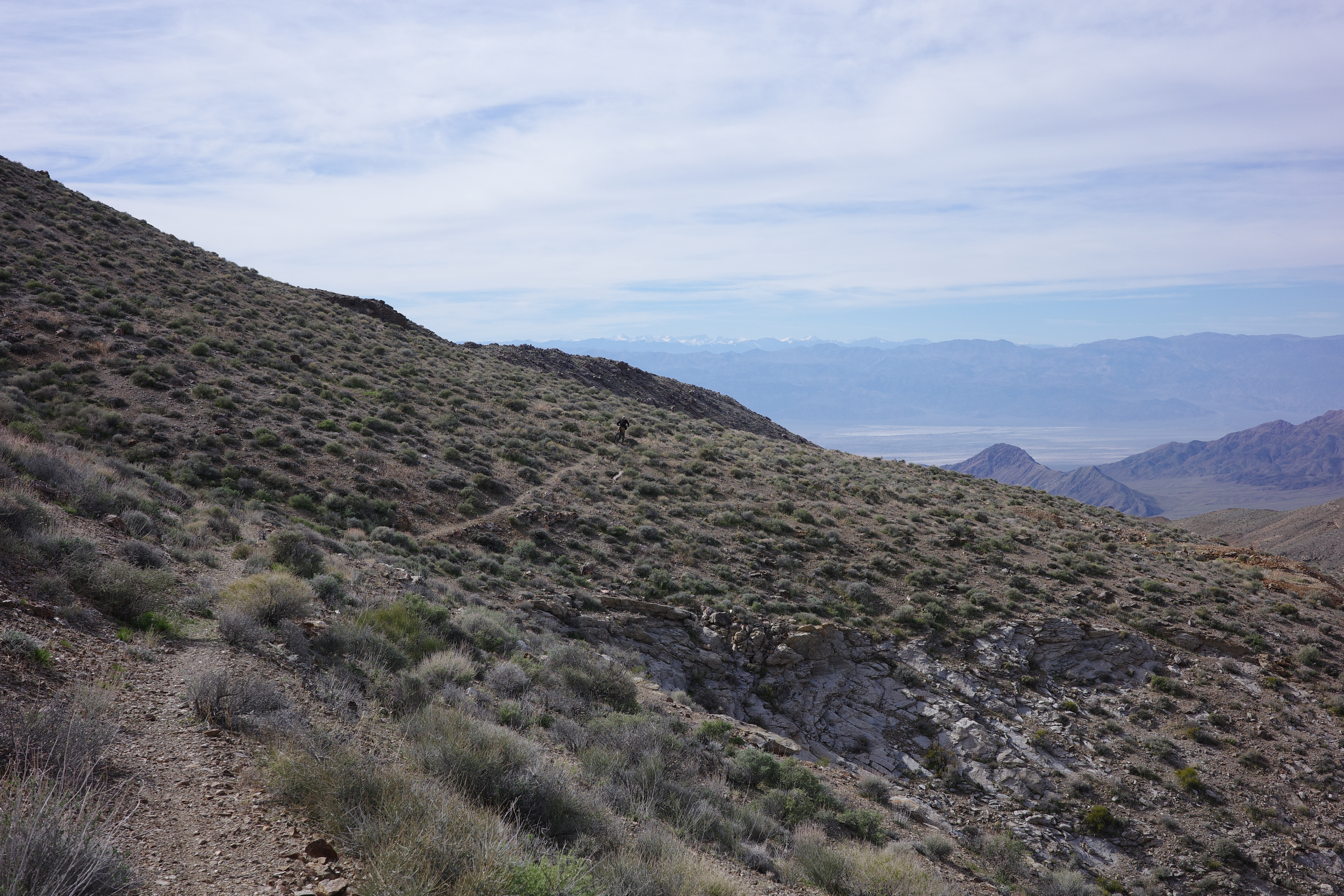
Then it wraps around the mountain, and drops steeply, in plain view of the snowy Sierra peaks, Telescope peak and Badwater.
The trail is chunky, but easy to follow everywhere. Some of it is steep, so you're definitely walking some of it
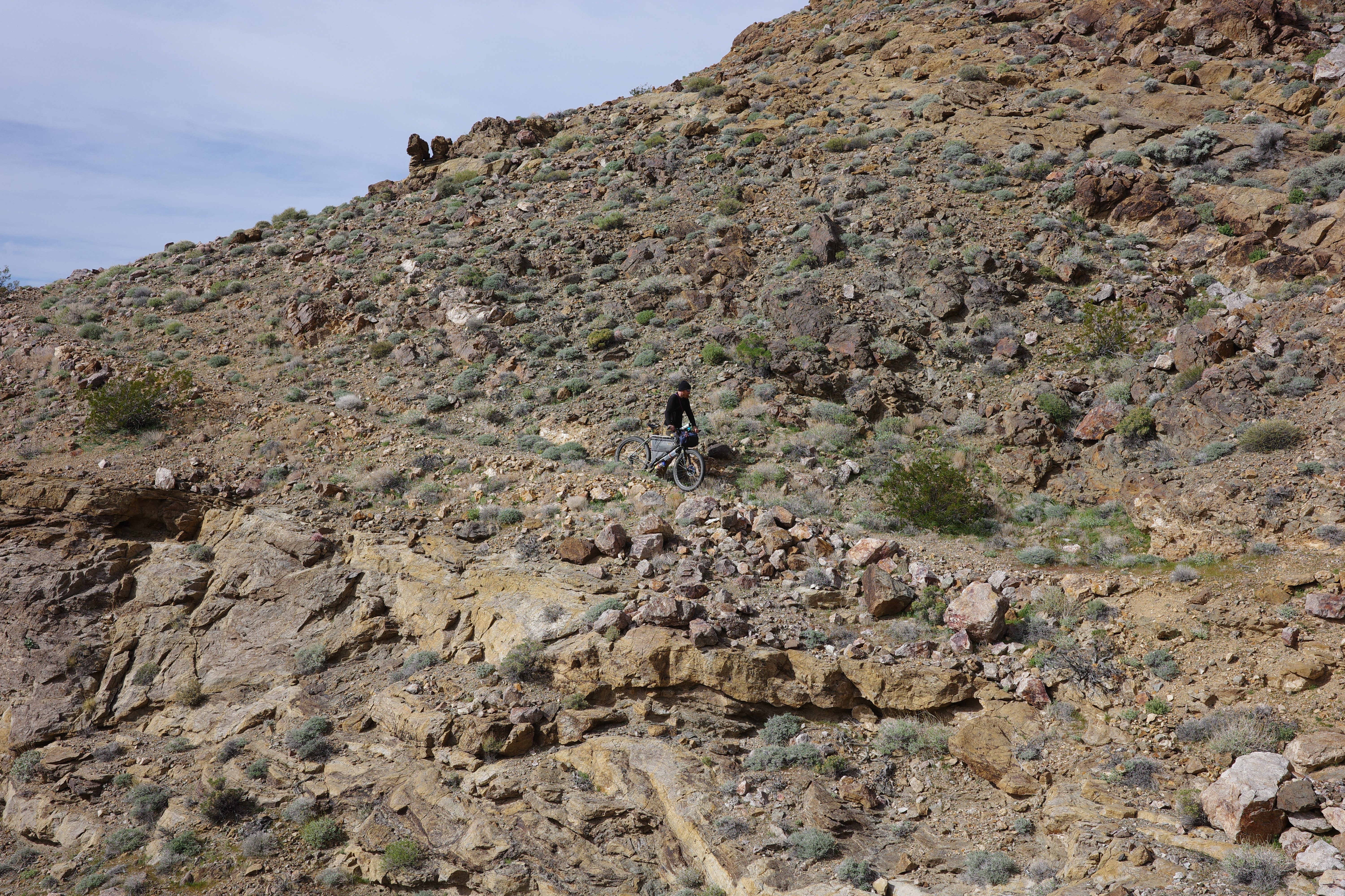
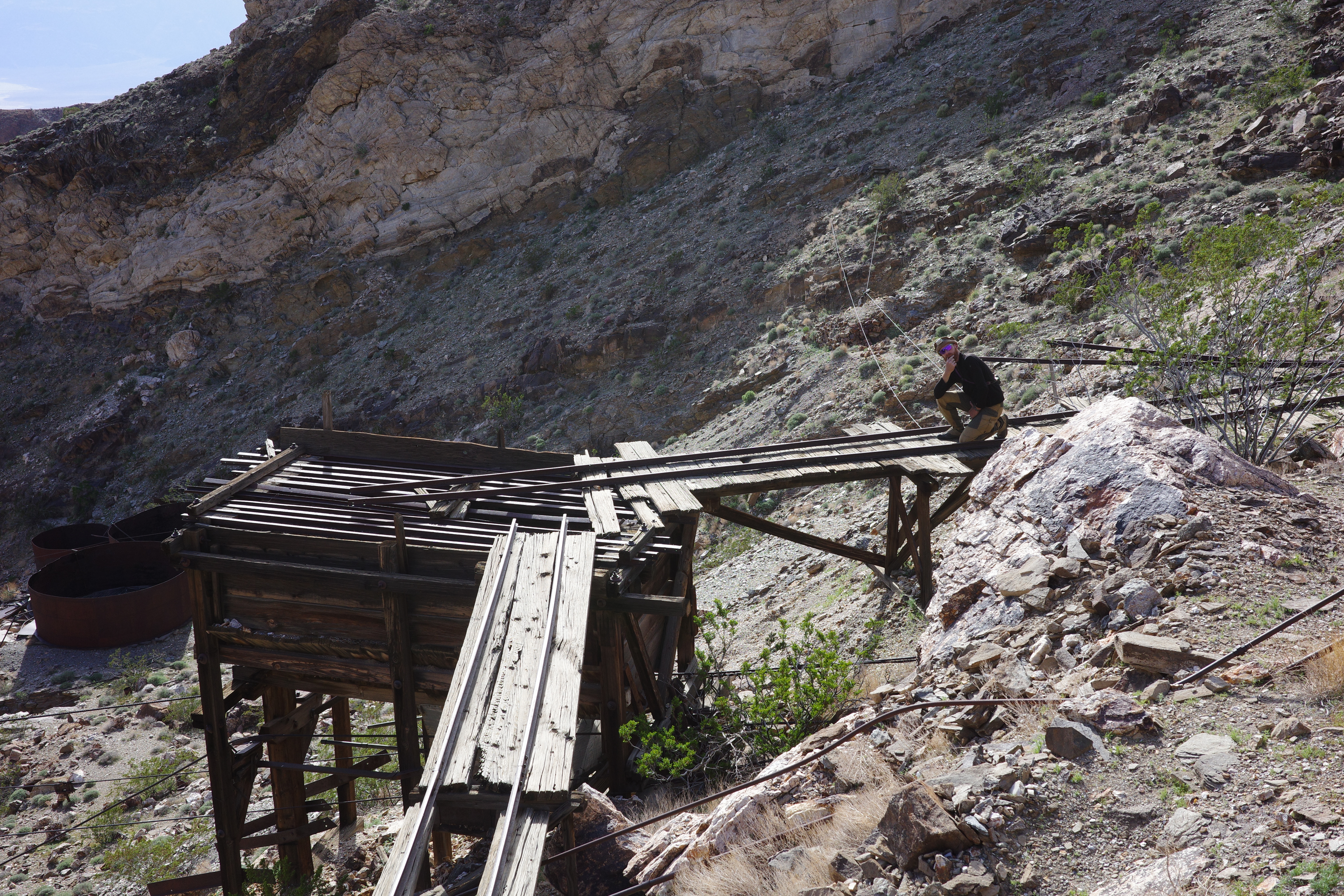
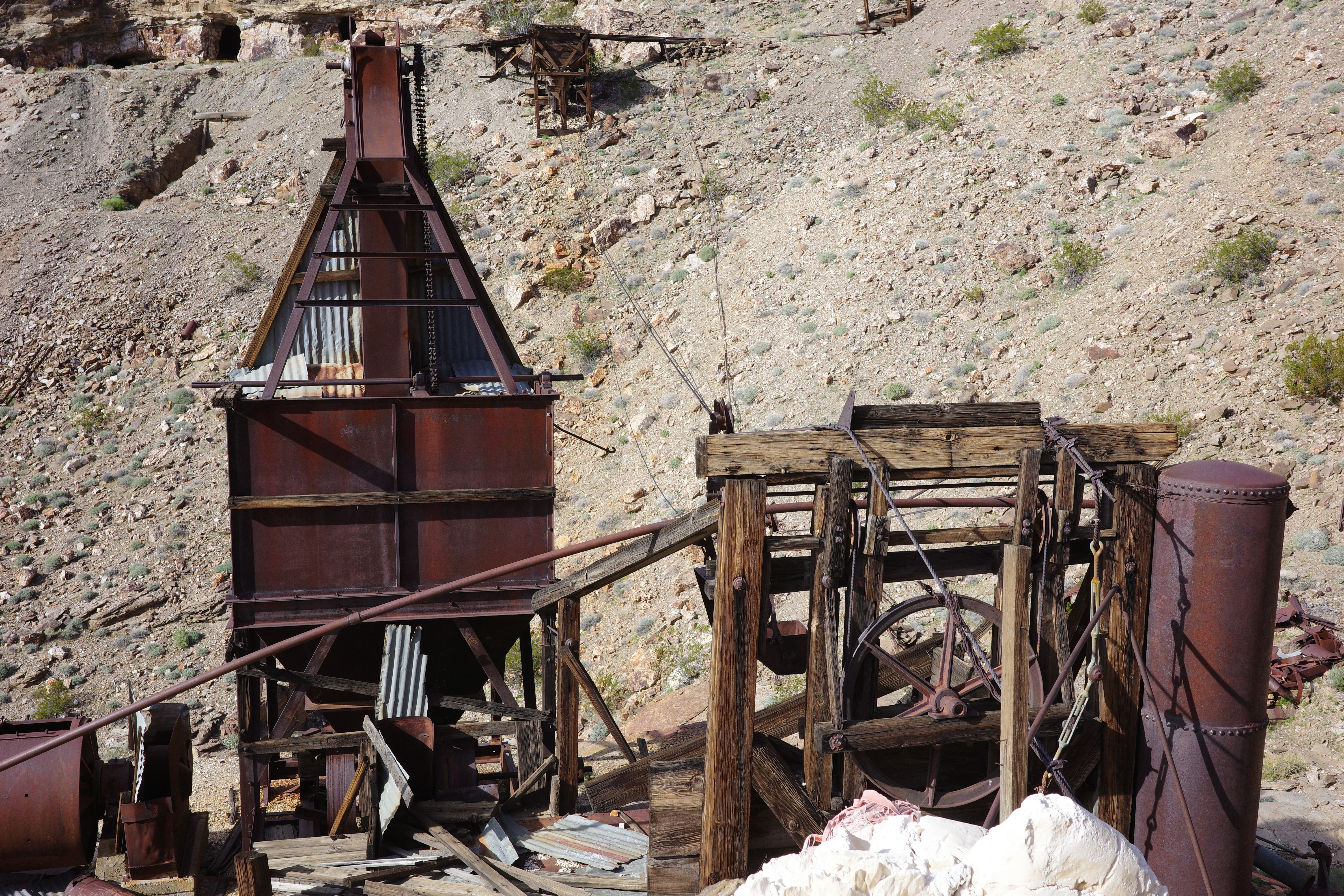
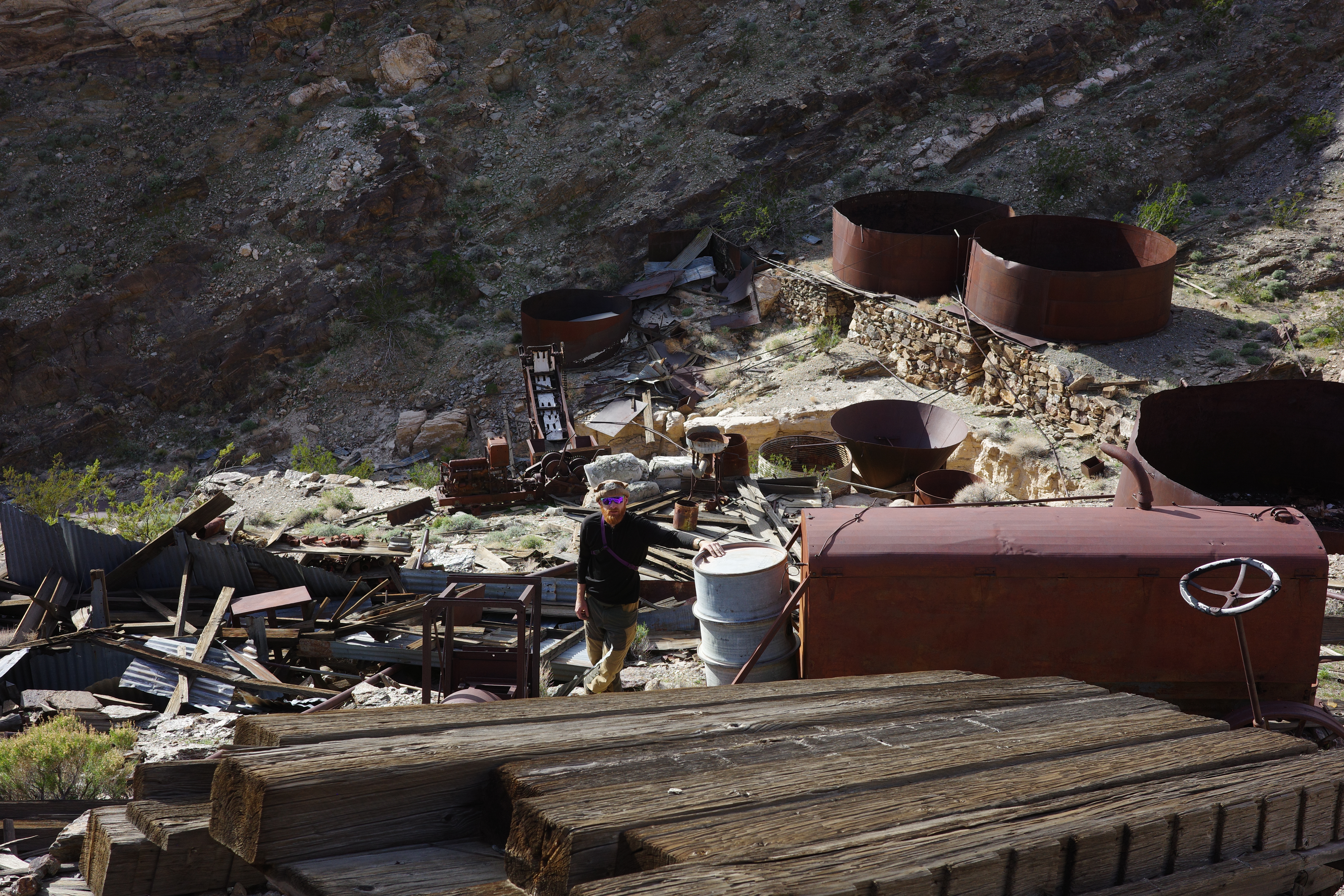
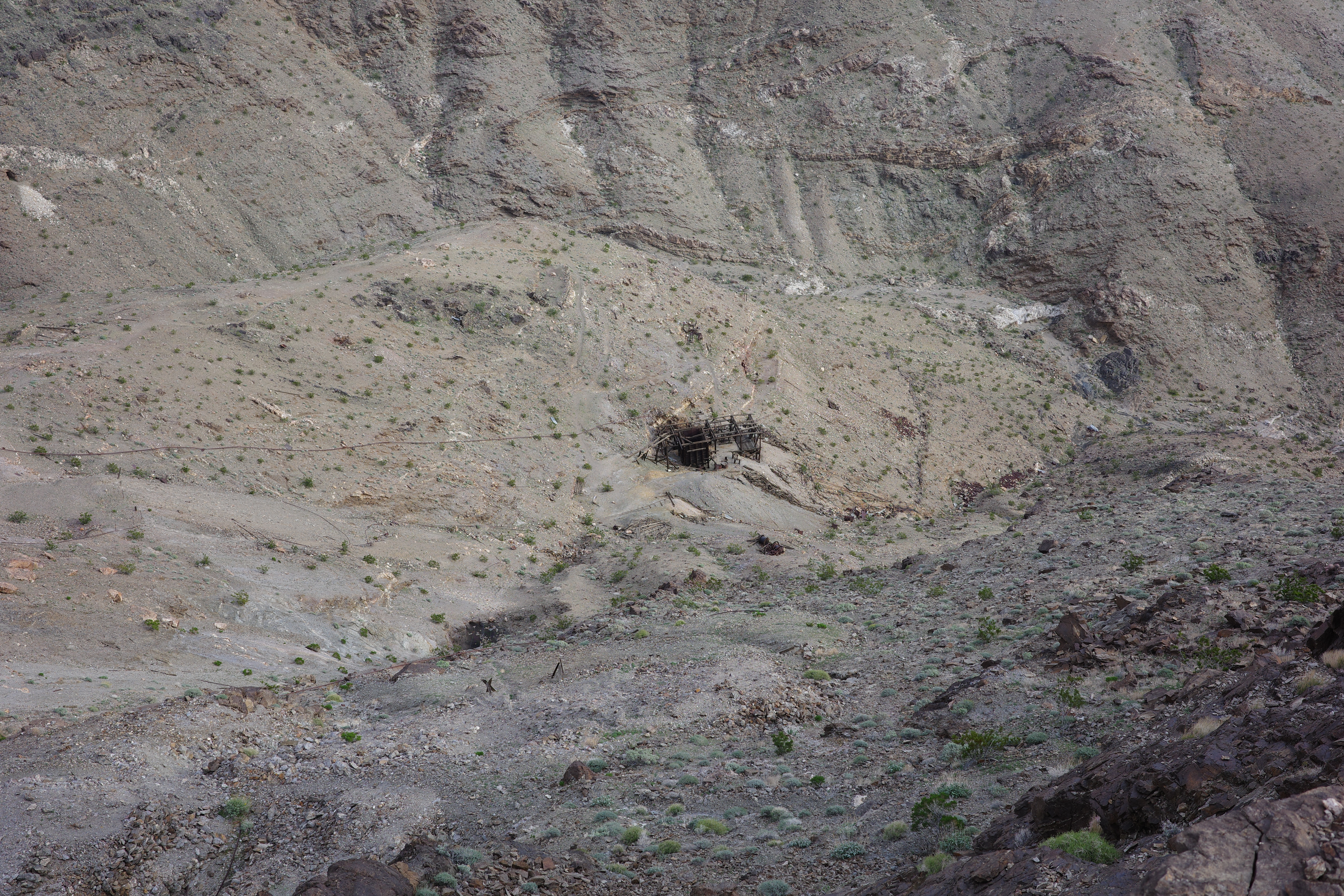
I'd ride up until the grades hit ~20%. I saw it max out at 30%! After a bit we arrived at Big Bell mine
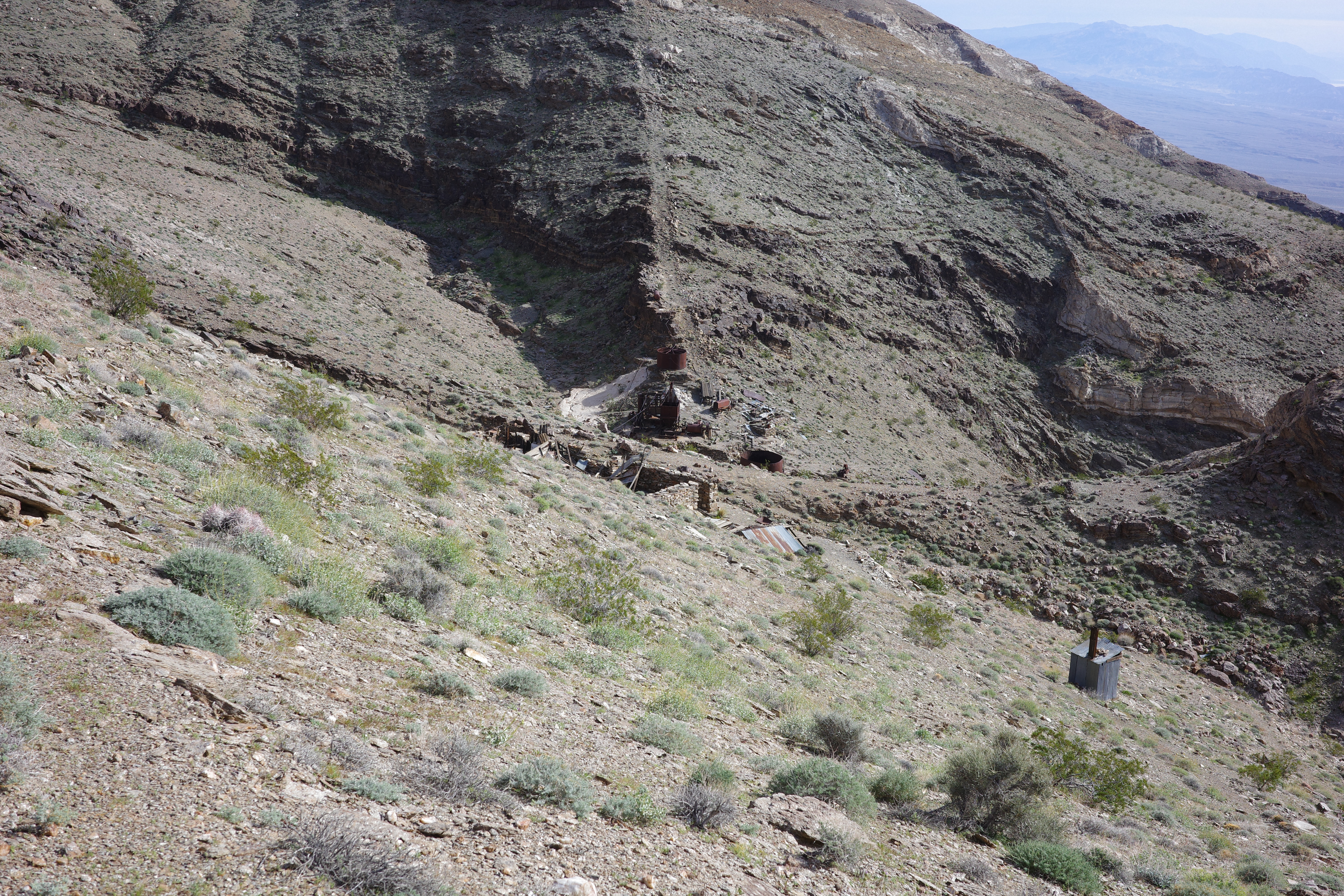
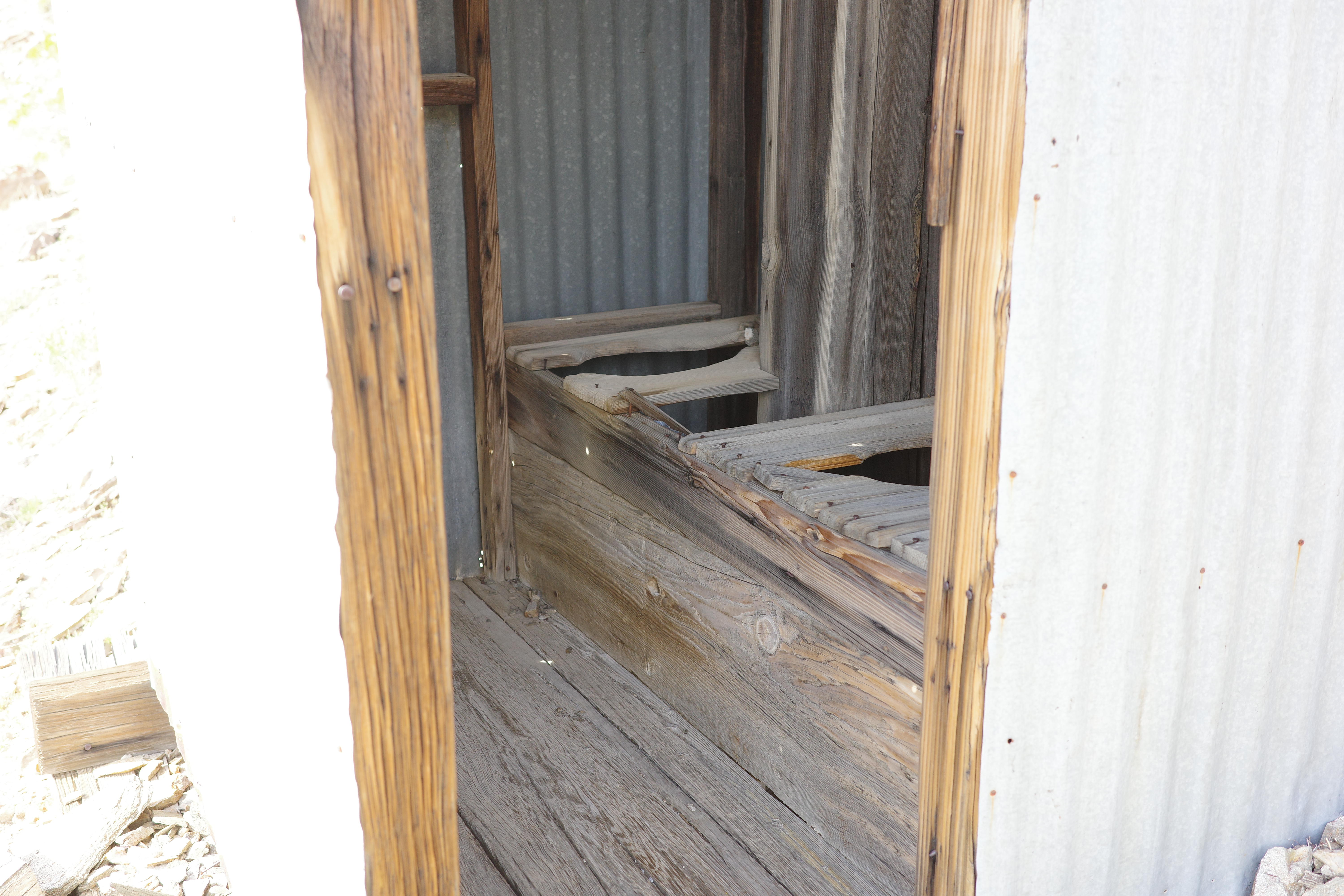
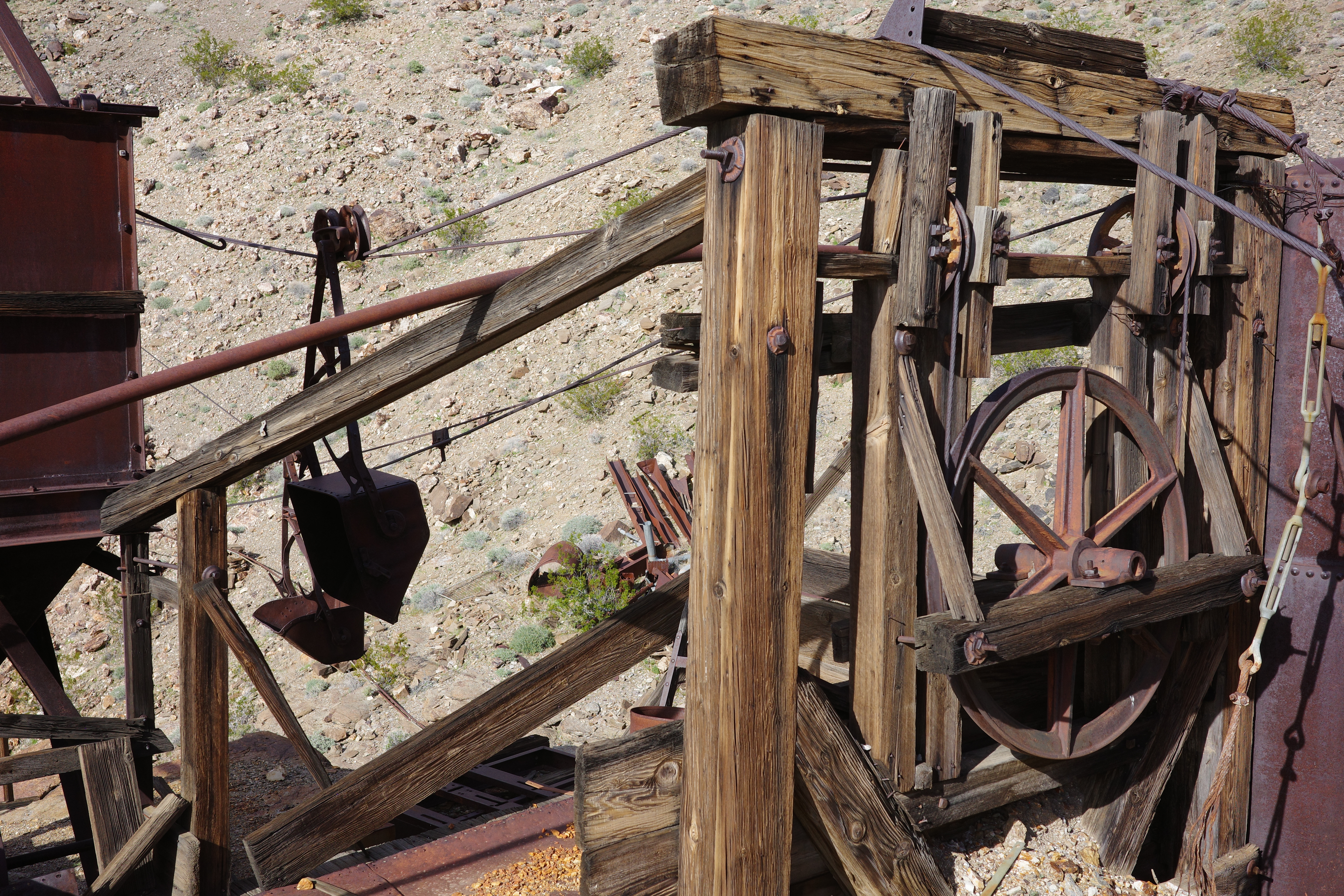
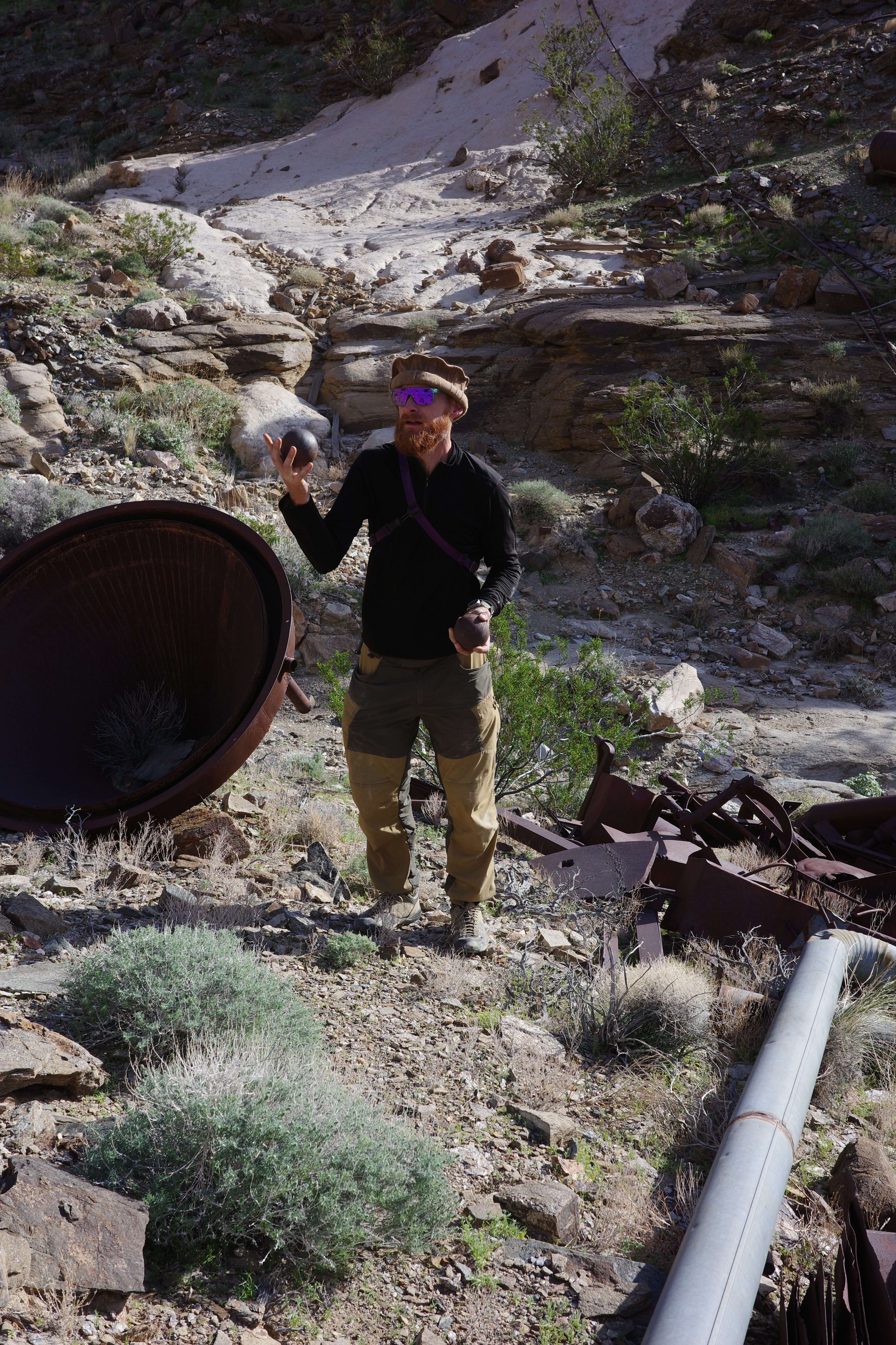
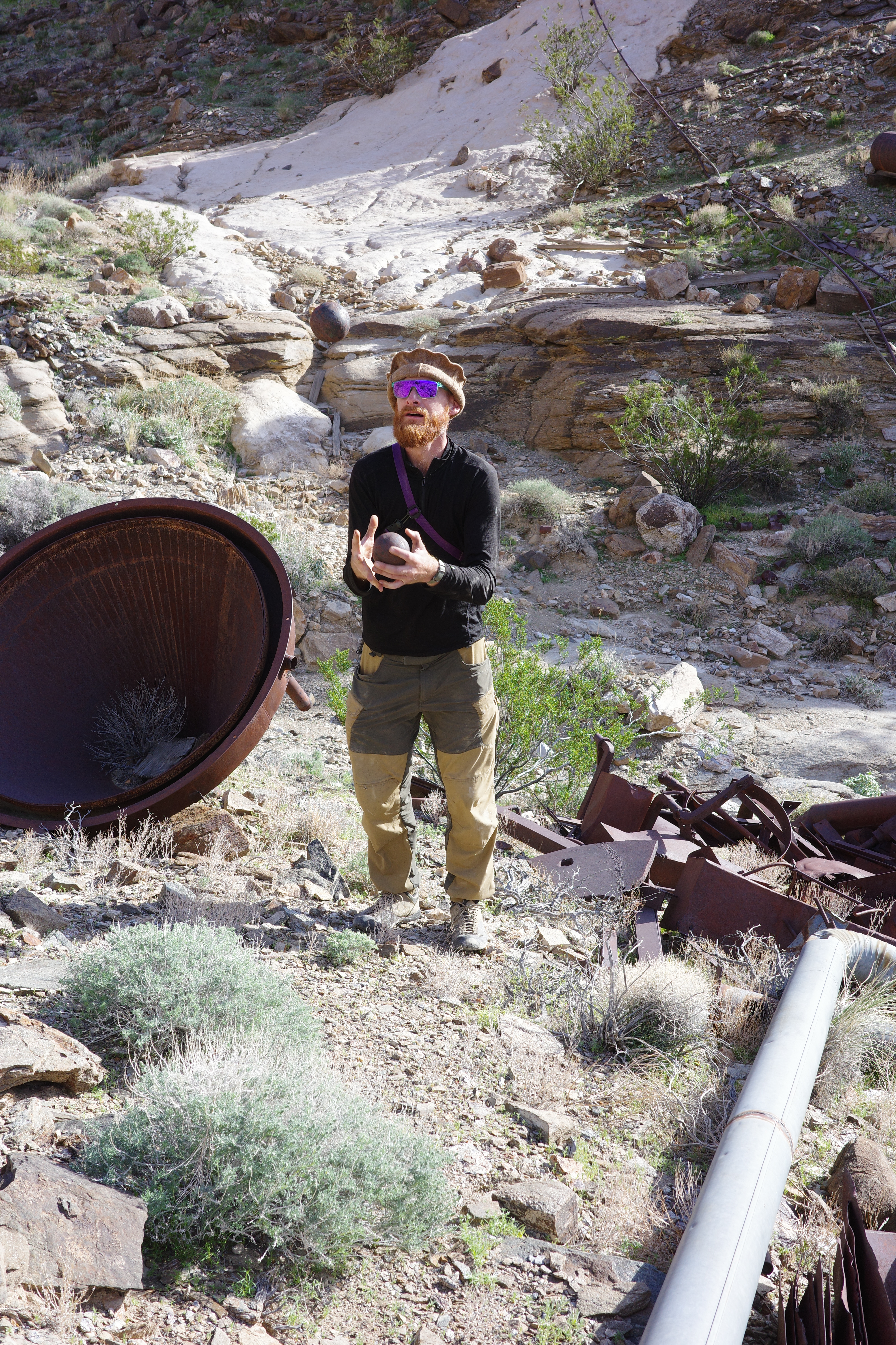
Holy crap. Unlike Chloride City above and the Kean Wonder mine below, this one doesn't have road access, so all the stuff is still here. A sampling (my server has all the photos):

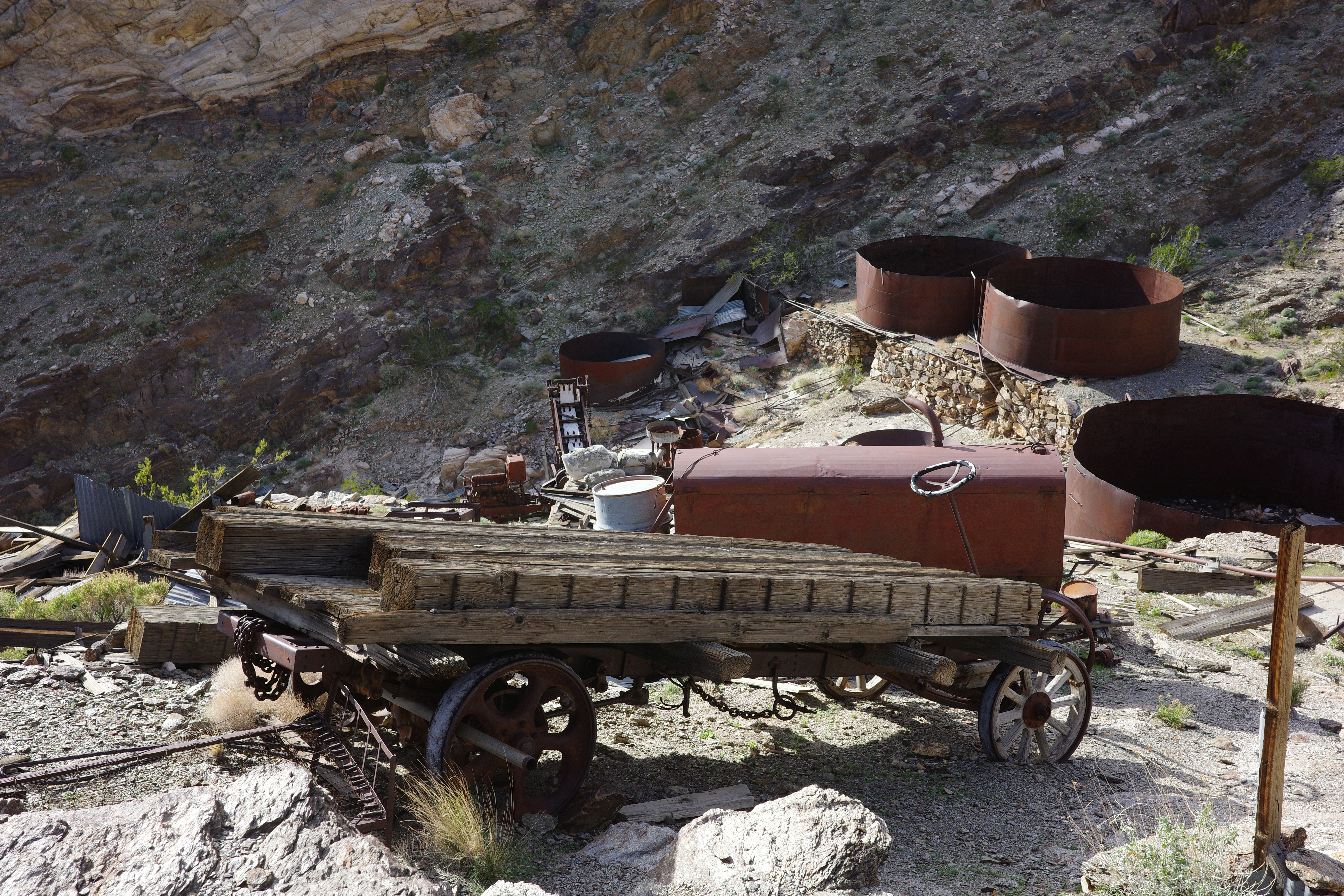

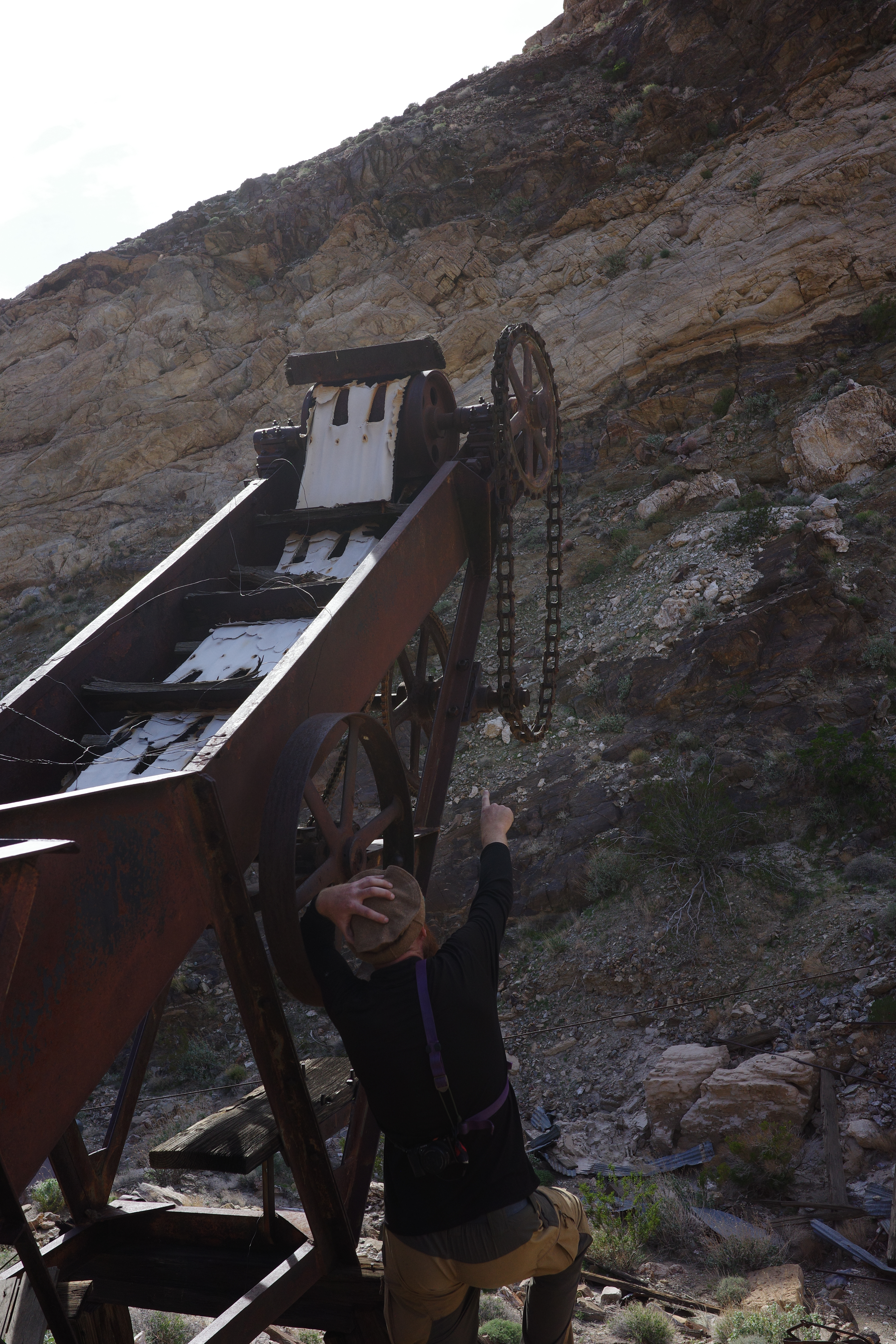
Taco found the balls from the mill
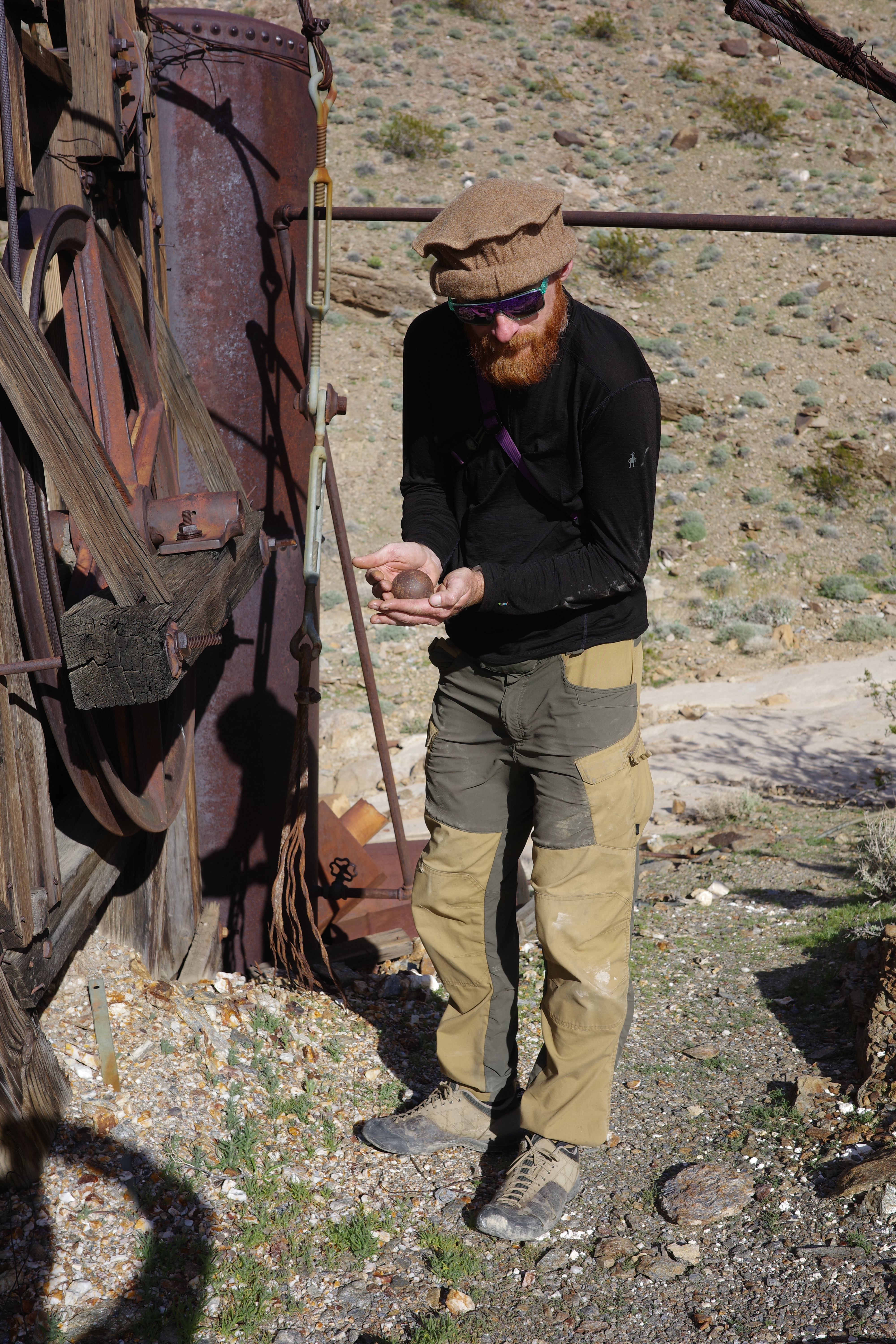
And attempted to juggle them

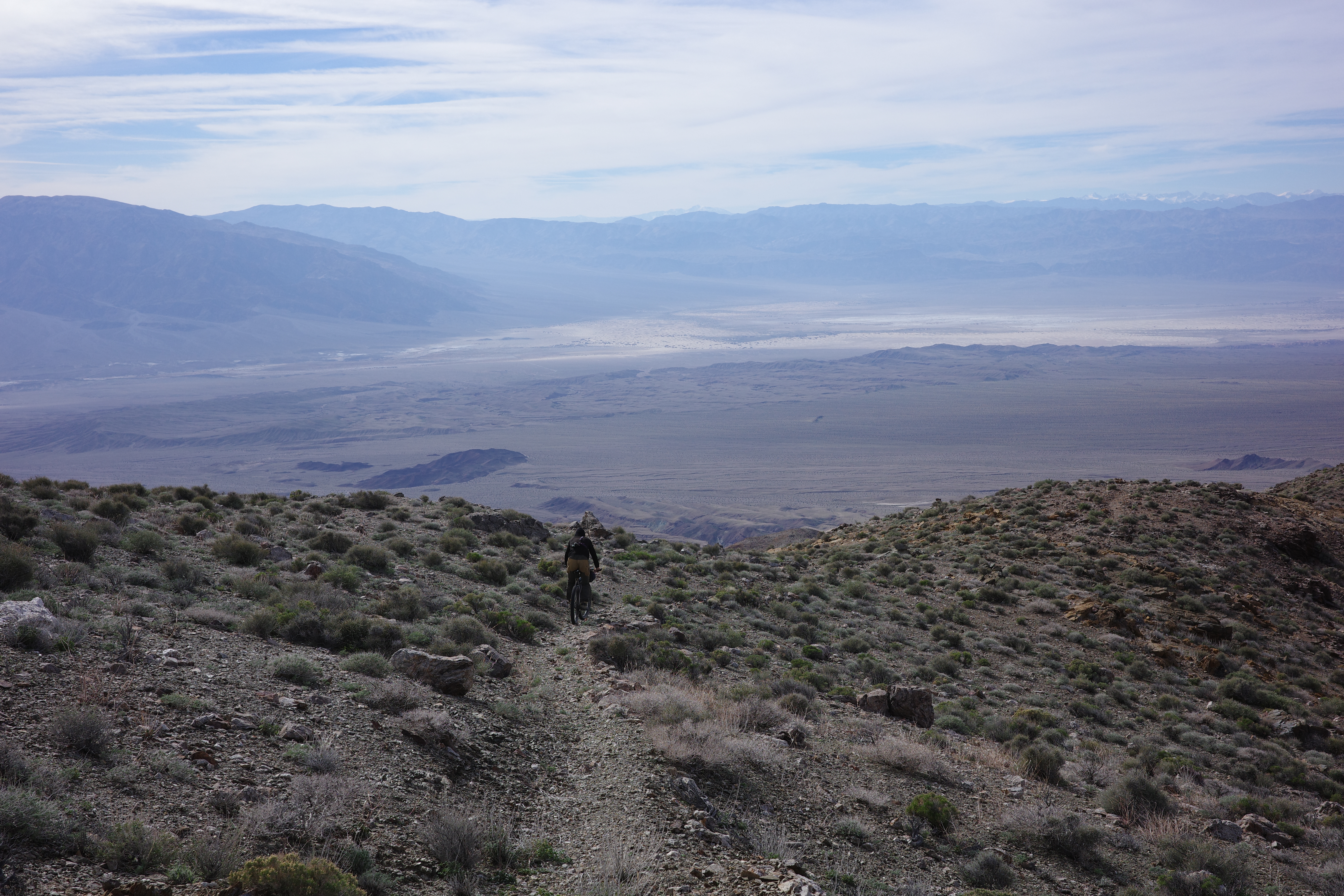
Chloride Cliffs from below:
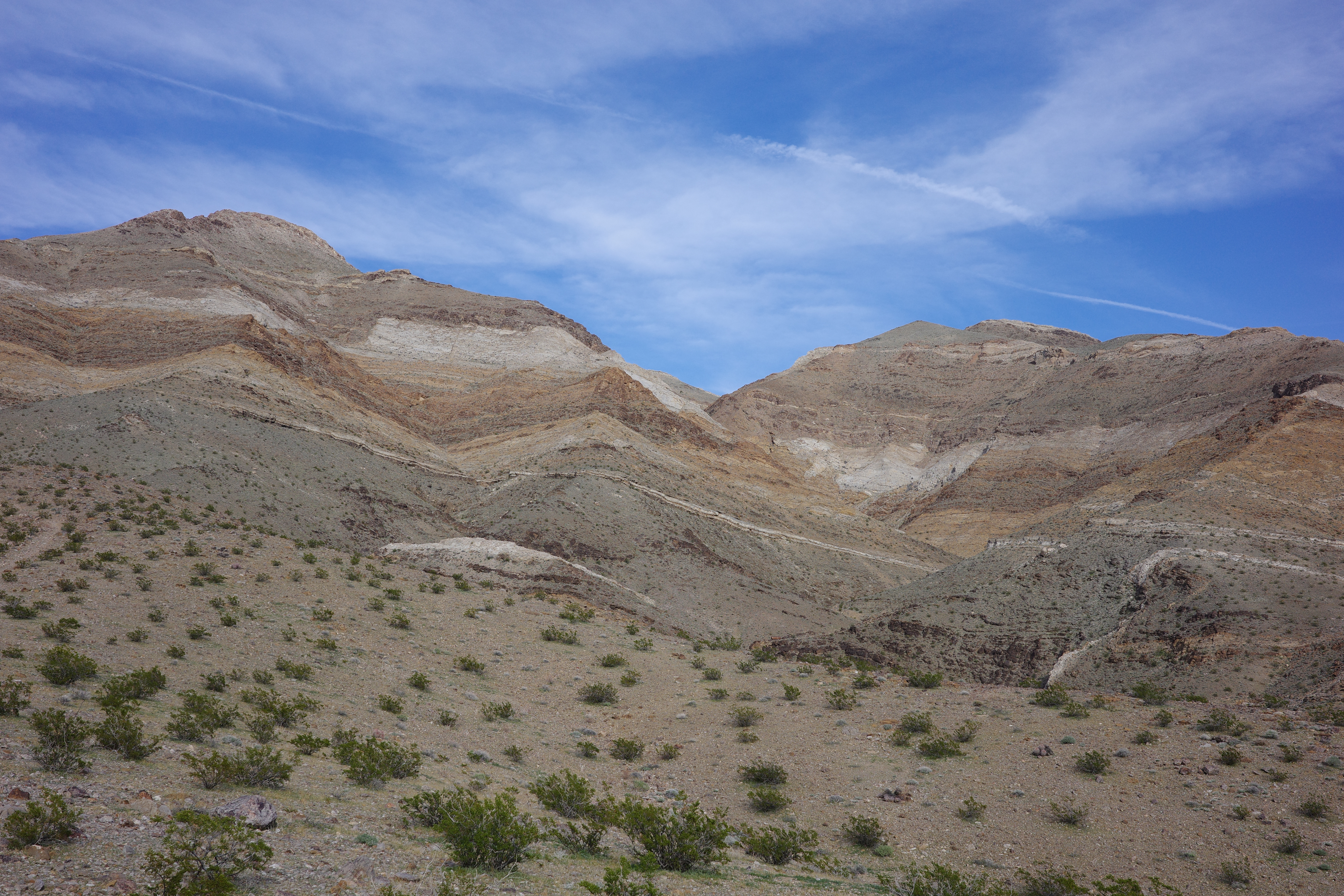
The mapped direct route down here follows the ridge across to the right and then down; very glad we didn't go that way.
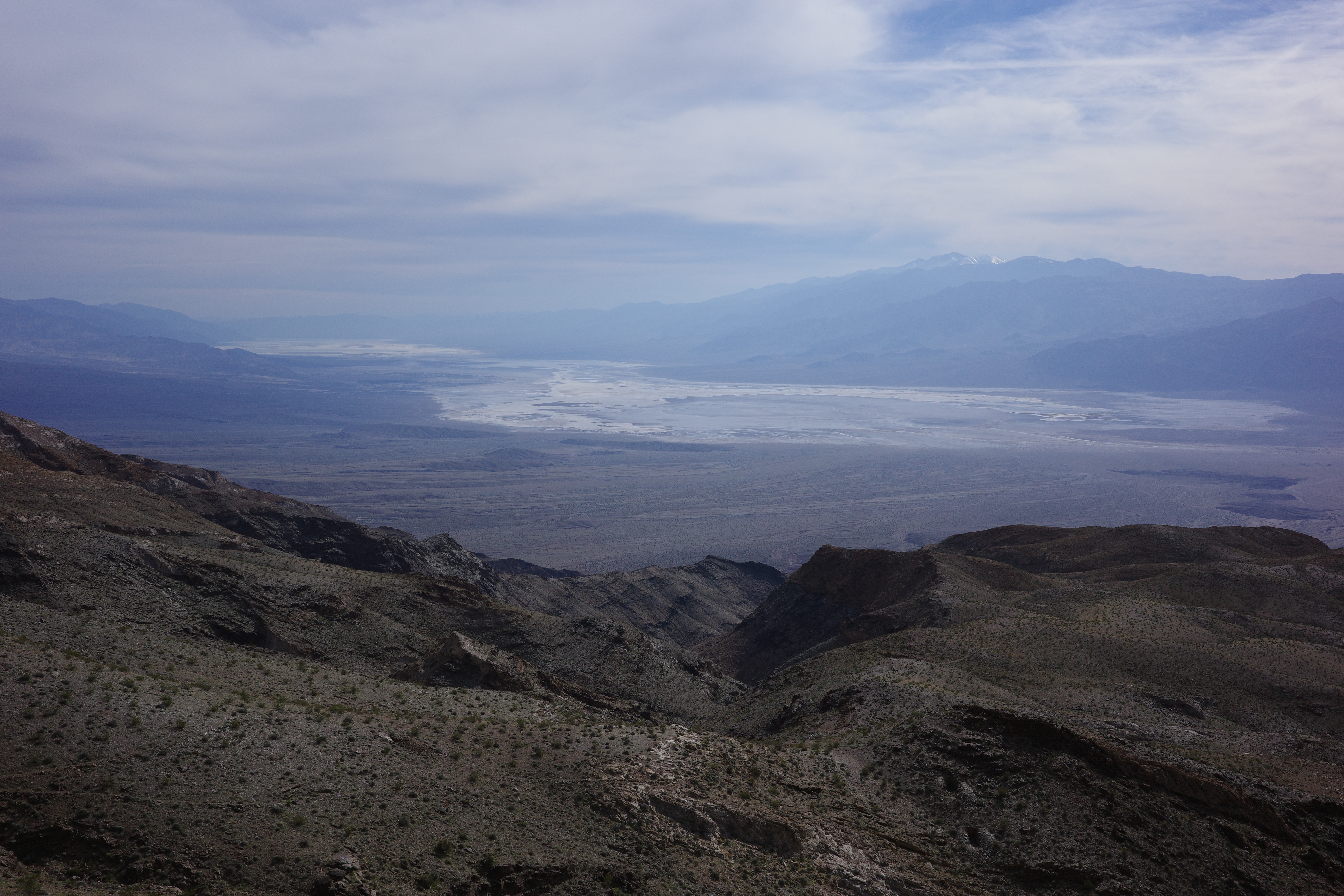
Eventually we had to leave, to see if the trail actually ran through to the bottom. Looks great
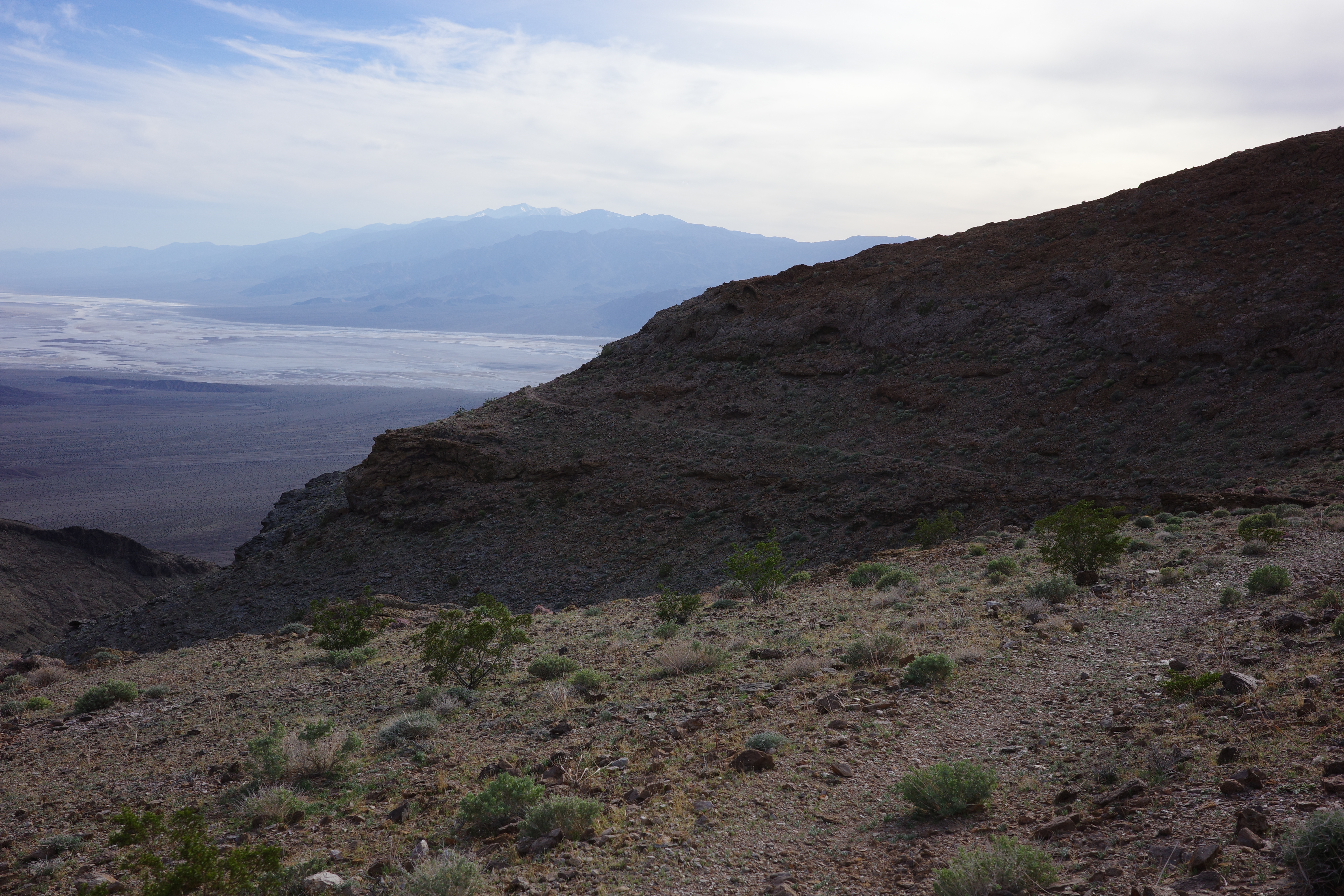
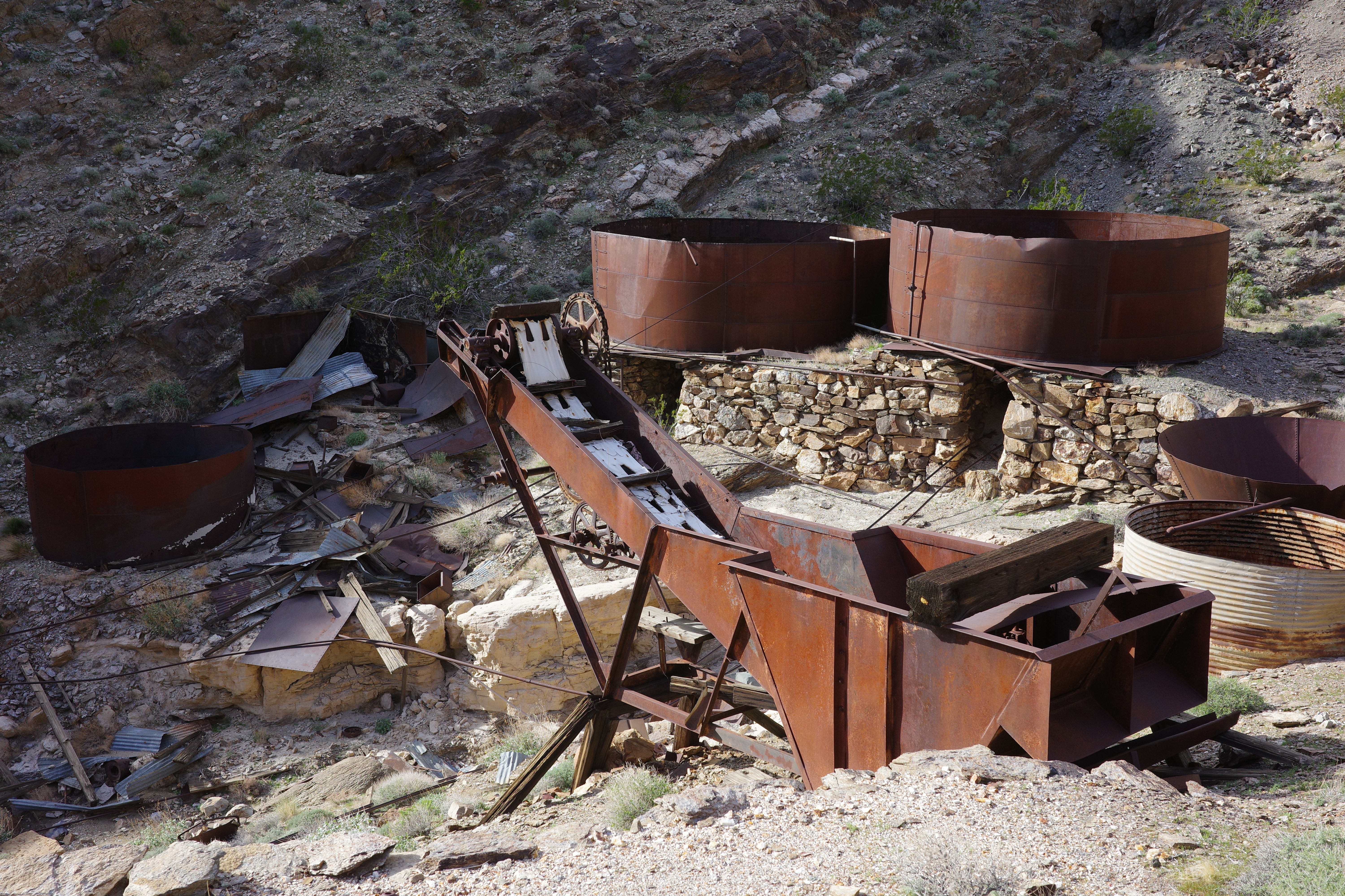
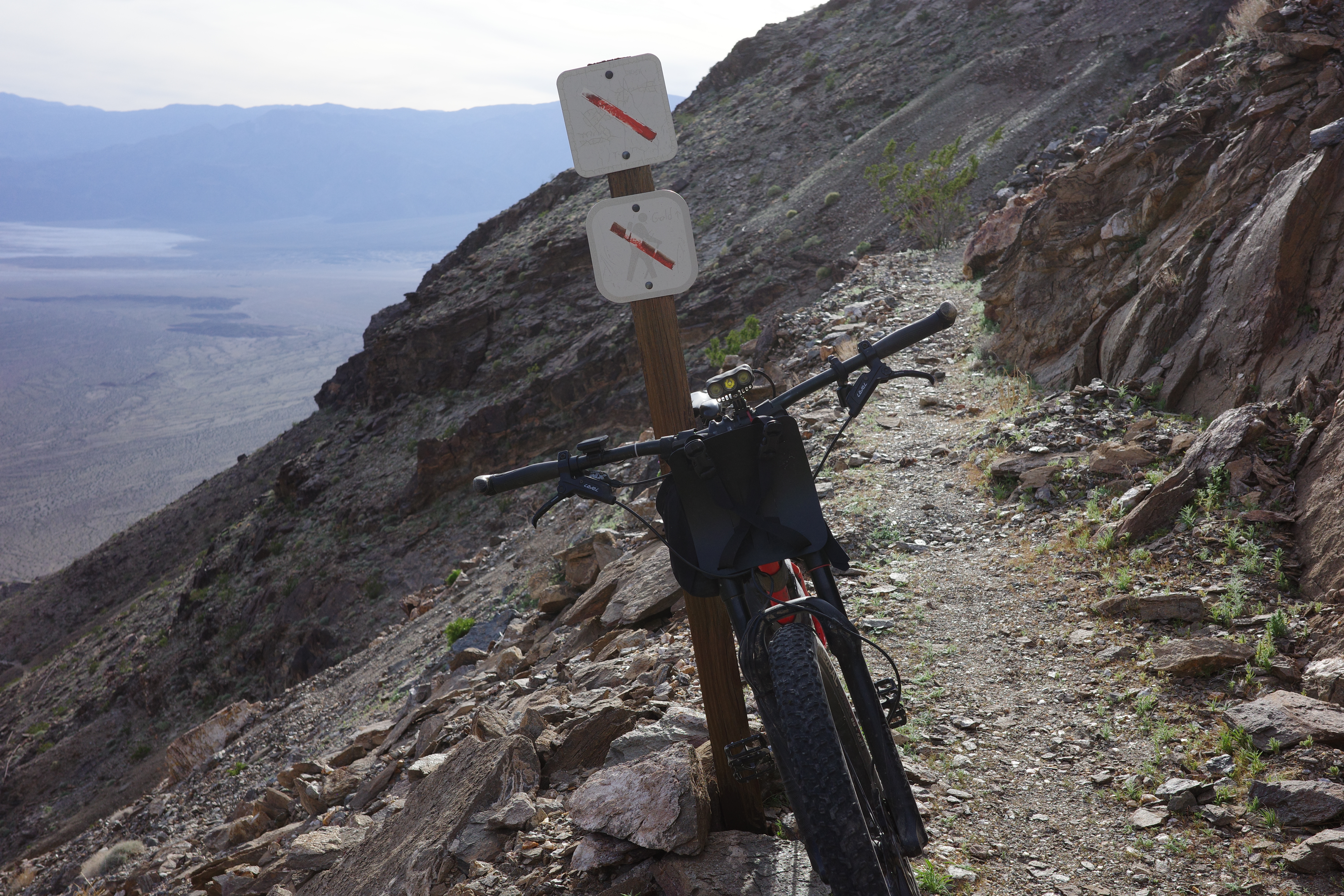
This section is in great condition and isn't too steep, and is a great ride. Eventually you round a corner, and can see the top station of the Keane Wonder mine tram far below:
The descent down runs across multiple old mine shafts. This is exposed and narrows, and you're definitely walking it. Below, near the tram is the sign for people going the other way:
Now they tell us! This is immense
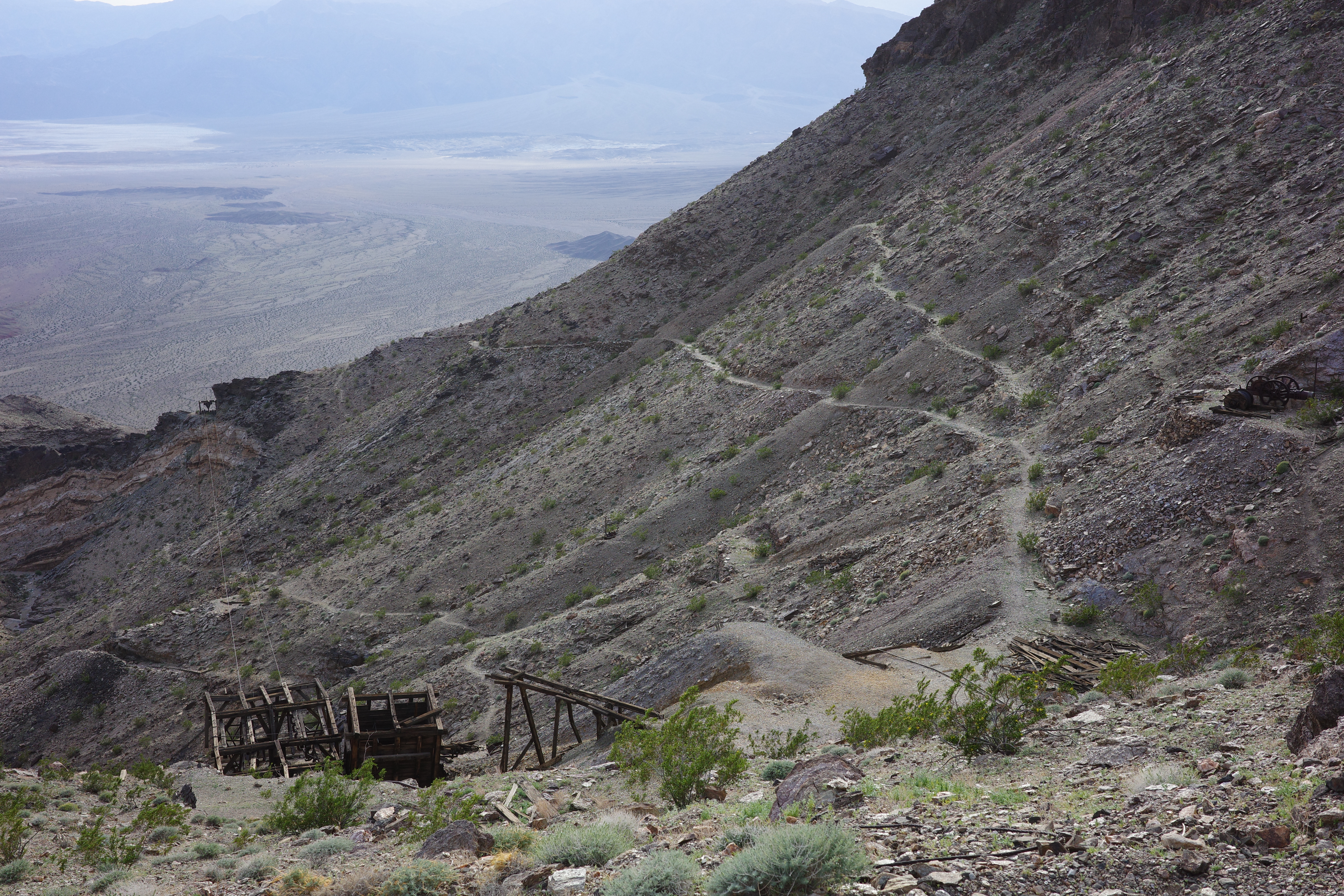
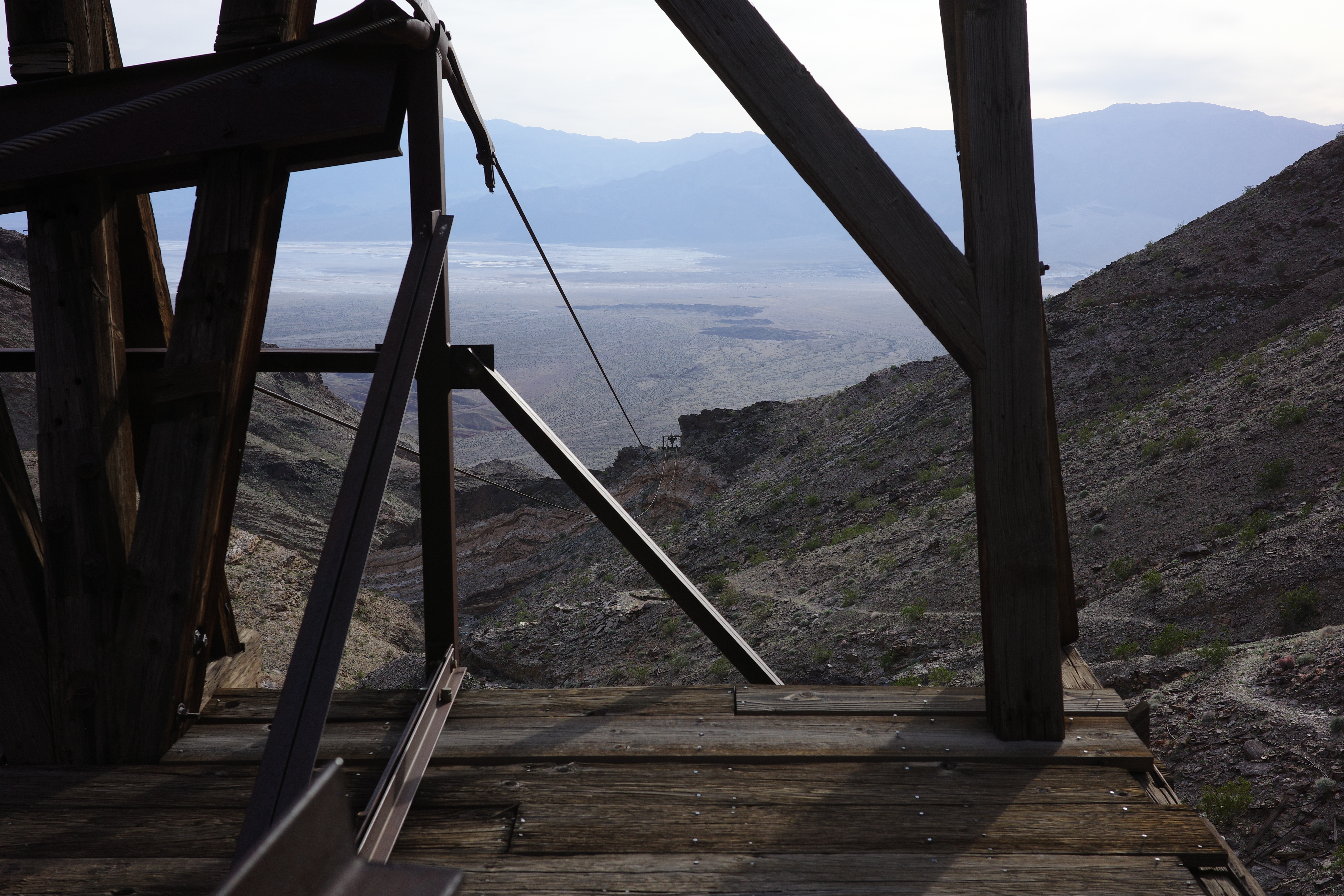
The cables are still connected, and run all the way down to the mill far below. The cables aren't a big loop like in a ski lift, but are fixed at the top. I don't know how this could work. They were a loop previously, but were fixed after the site was abandoned?
The trail down to the mill and the road at the bottom is well-defined and in great shape, but is very steep and exposed, so we walked most of it

Some hikers are here too, the first people we saw since before Chloride City. We popped out on the access road maybe an hour before sunset, and finished the road climb in the dark. This was only ~24 miles. What an action-packed loop! Taco, add your 2 cents!