

I stashed the bike in the drainage tunnel of Shoemaker Canyon and climbed the slope straight up to pick up the PL&P trail. The view looking back towards Shoemaker Canyon:
Here I could clearly see the road hundreds of ft below me. Saw some hikers walk by the Shoemaker Canyon crossing. They walked to the edge of the road, and started talking about a bicicleta. The spent a while peering over the edge towards the drainage tunnel, but eventually they moved on without me having to yell at them from far above.
Onwards. The trail switches back up the ridge to gain ~ 200ft. Then it traverses a steep slope and is mostly undistinct. I lost the trail completely and did a long and not-very-fun traverse across a steep slope with firm dirt. Not great. I was above where the LIDAR map said I should be, but the "right" spot didn't look great.
Eventually I could see the trail
Not great. And nonexistent where I am. Eventually I found it again
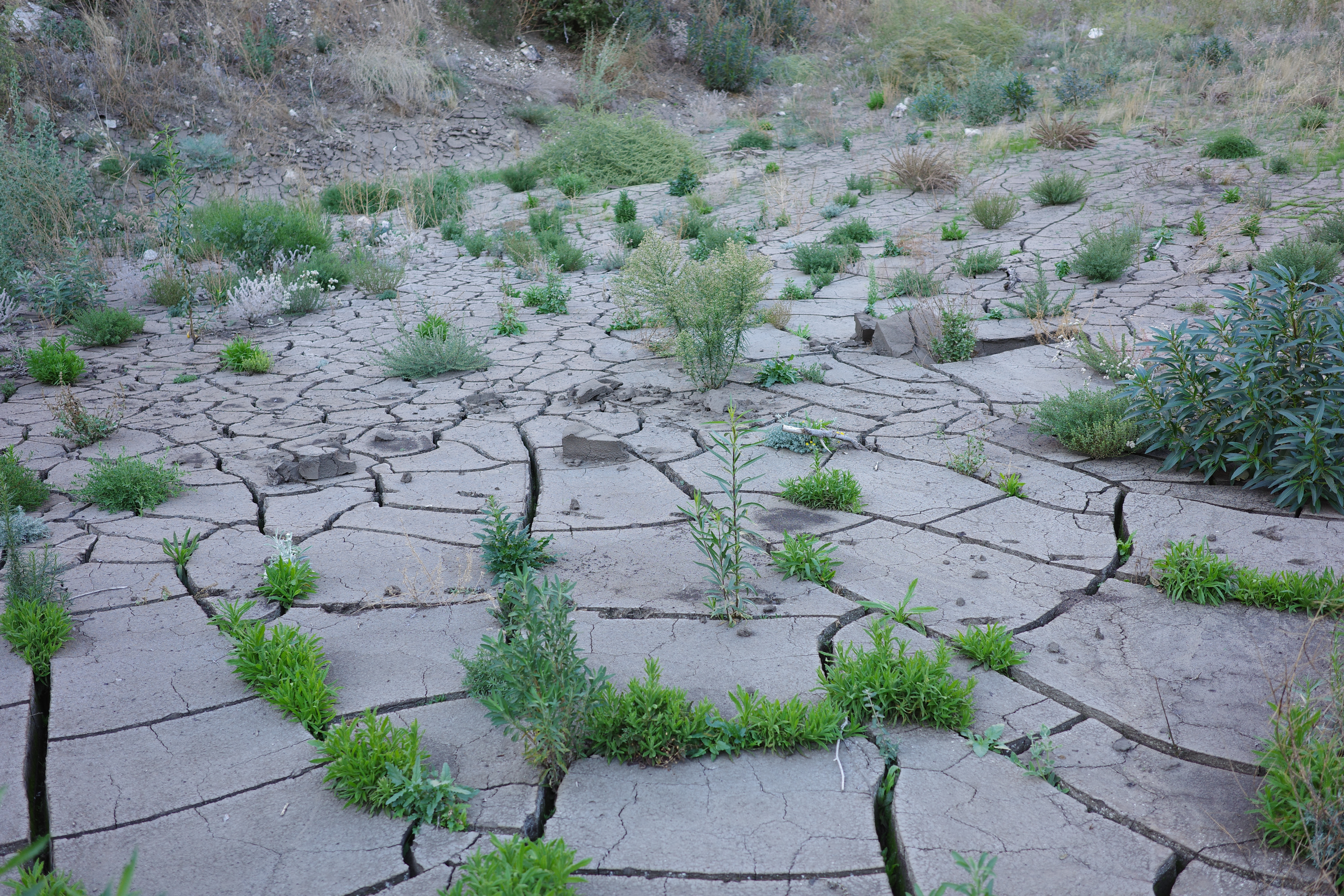
That drainage crossing is steep, has firm dirt mostly without any boulders, and the trailbed is completely washed out. Looks like this:
Gets even steeper immediately below. This seemed like an excellent place to turn around, so that's what I did. This was a real bushwhack!
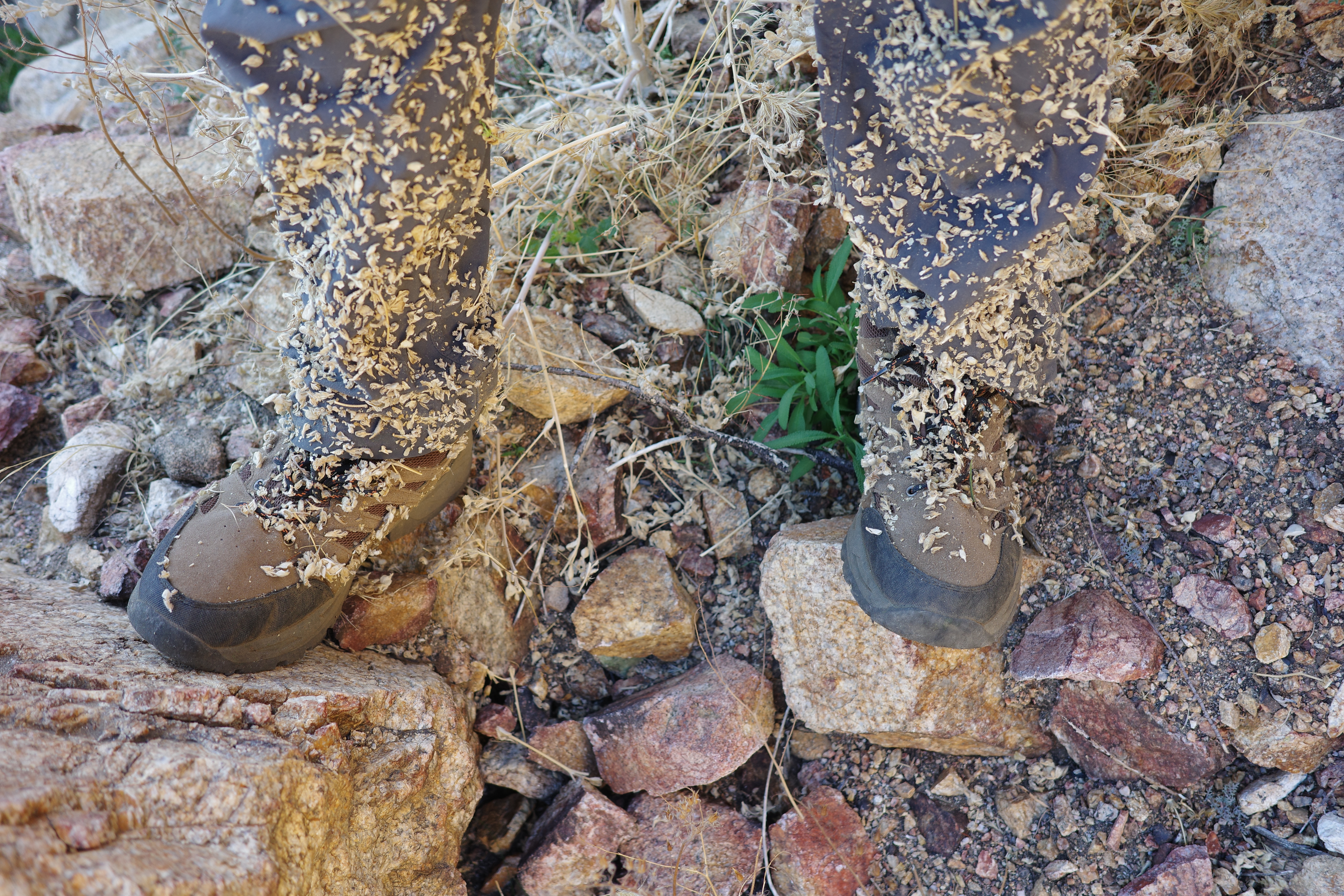
I maybe did a mile or two total, but it sucked, and looked like it would continue to suck for a bit. I backtracked, staying on the correct trail this time. Made things a lot easier. I dropped down straight to the end of the second tunnel (easy!), and walked to the end of Shoemaker rd, where the back trail to Rattlesnake peak starts climbing. This will be the access point for the next PL&P outing.
I went back to the Shoemaker desert
to pick up my bicicleta, and rode back downhill.
Was a short outing, but it was hot and I'm tired. More next time!

