

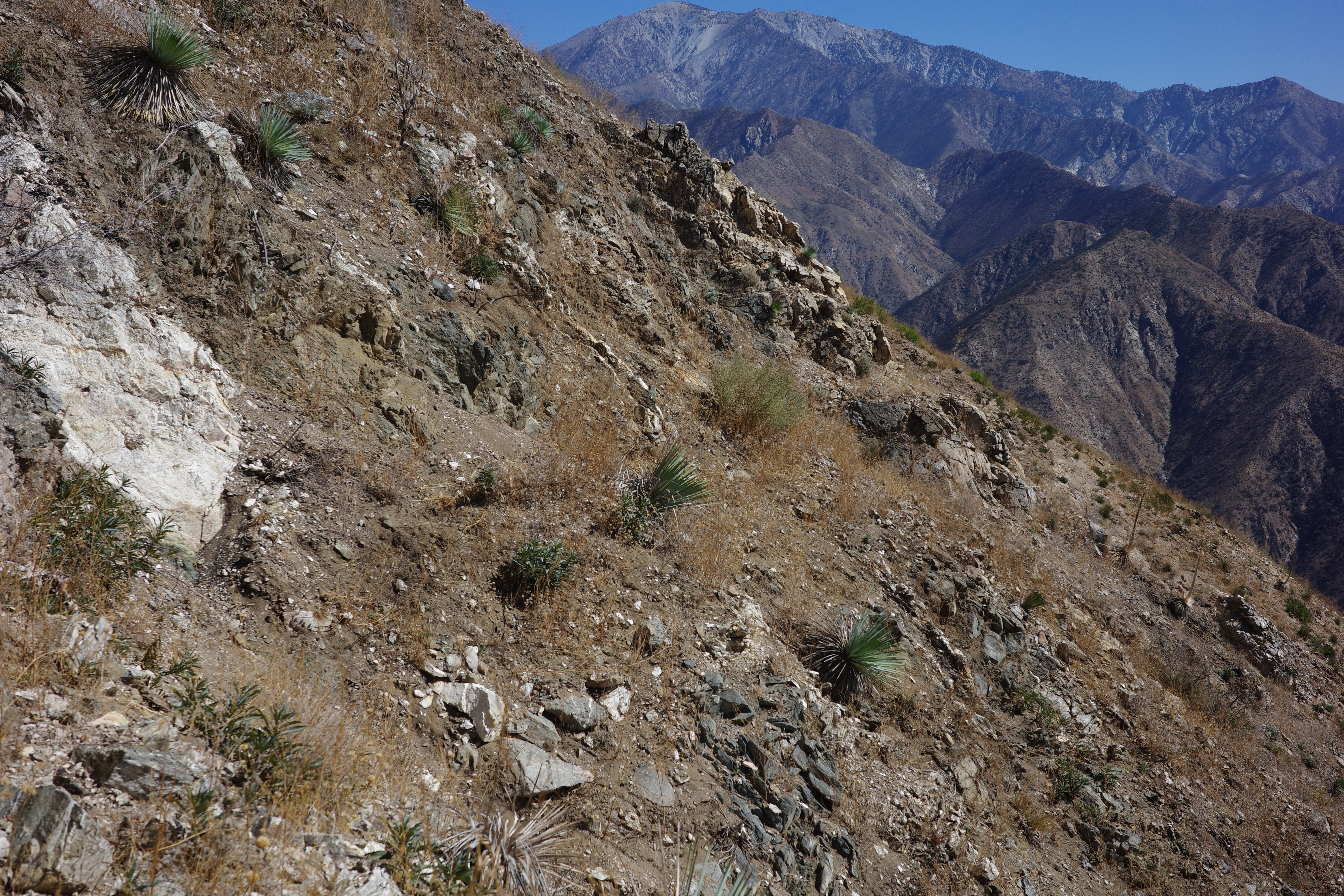
We picked up the ridge at the saddle N of point 3481. This ride is the clear boundary of the Bridge fire:
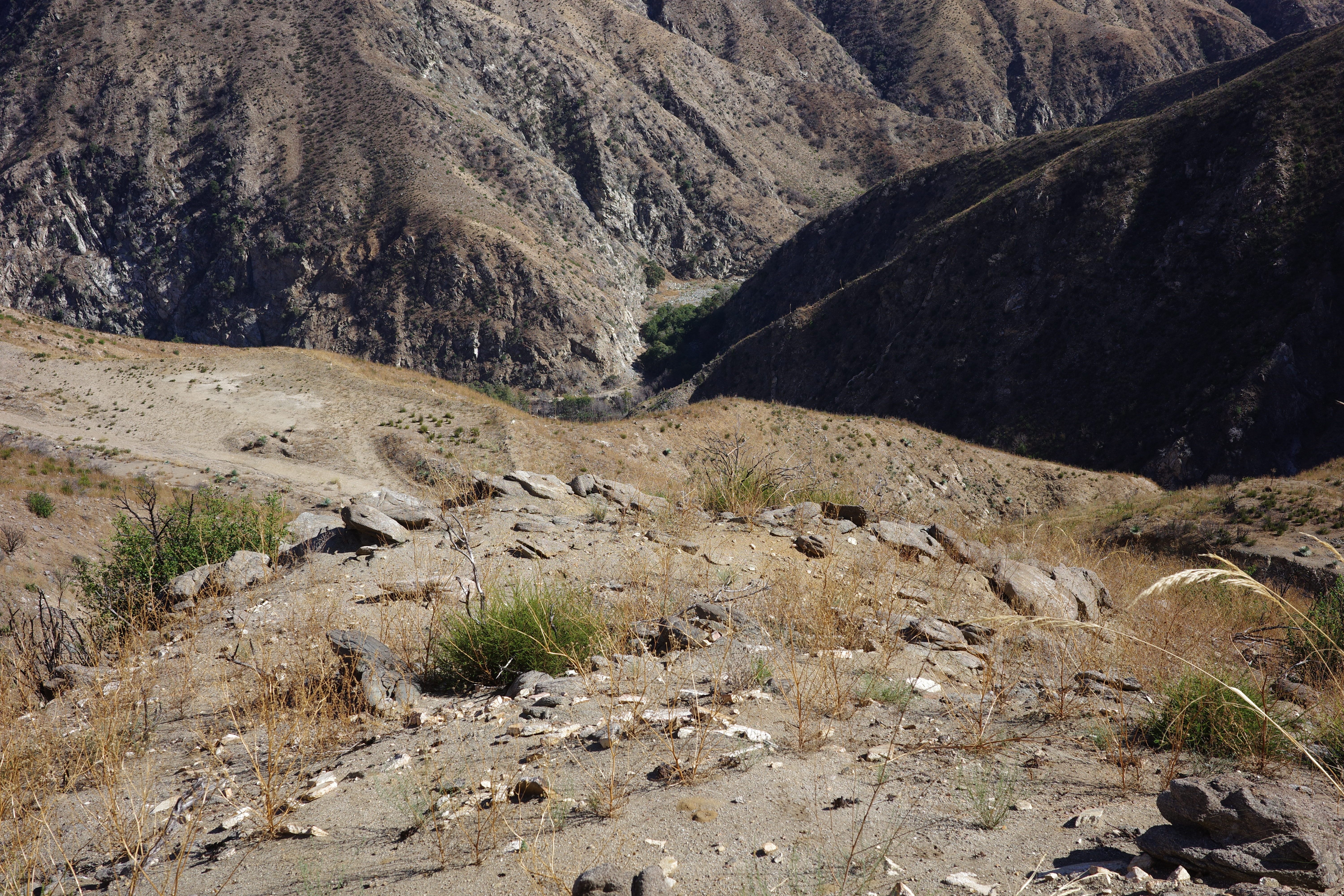
There isn't an obvious firebreak here that stopped the fire. Maybe an old one, since the topos do call it out. Found remains of some old isolators from an old power tower here. A good view down into Williams Canyon and the previous section of the route is available here:
I don't see the trail at all, but it is there. We walked up the ridge a bit, and the clear PL&P trail cut came into view:
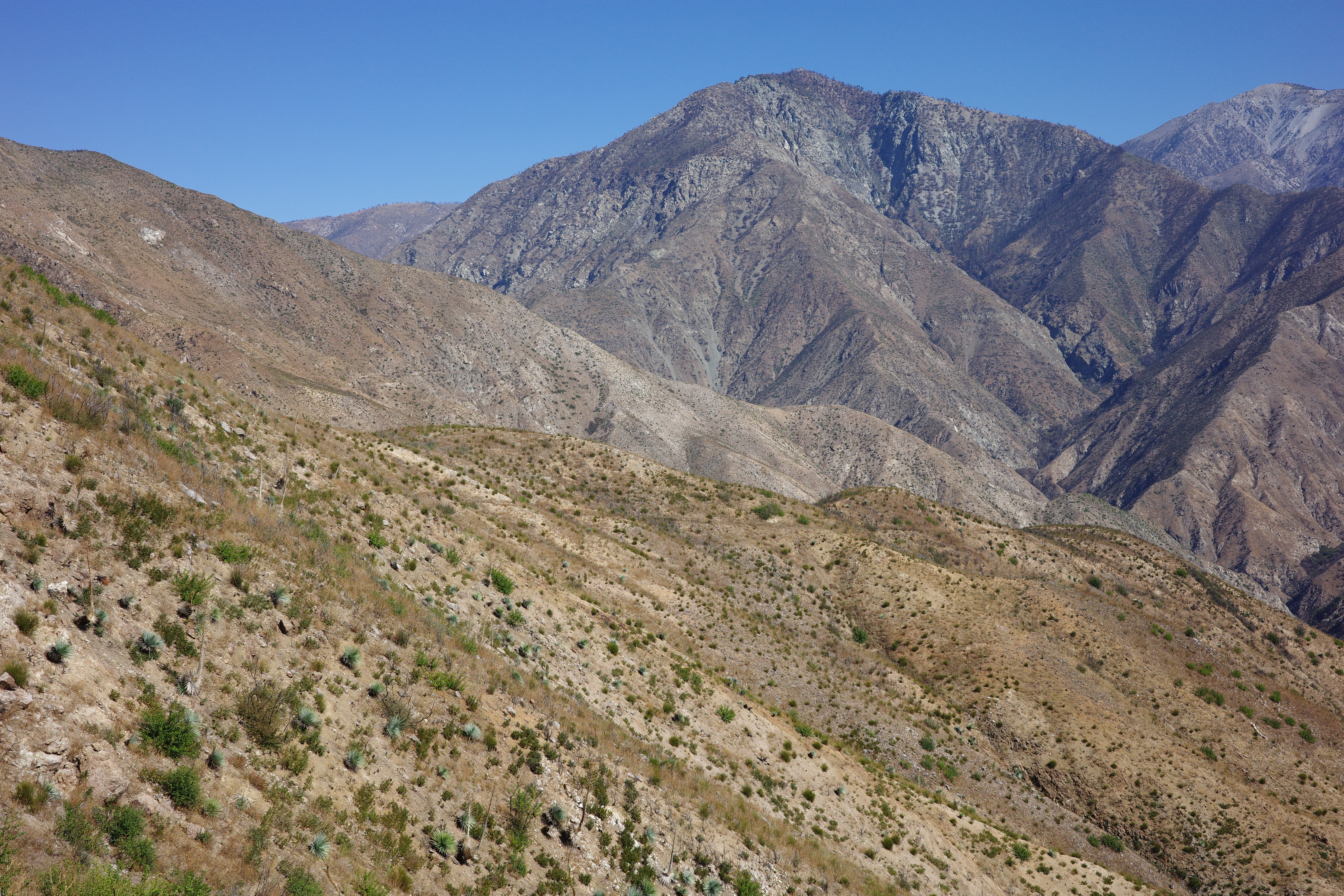
As in other places, it's hard to gauge the cliffiness of these sections just by looking at it like this. It looks alarming in the photo, but once you're on it, it isn't a problem:
The next section, seen from around the bend:
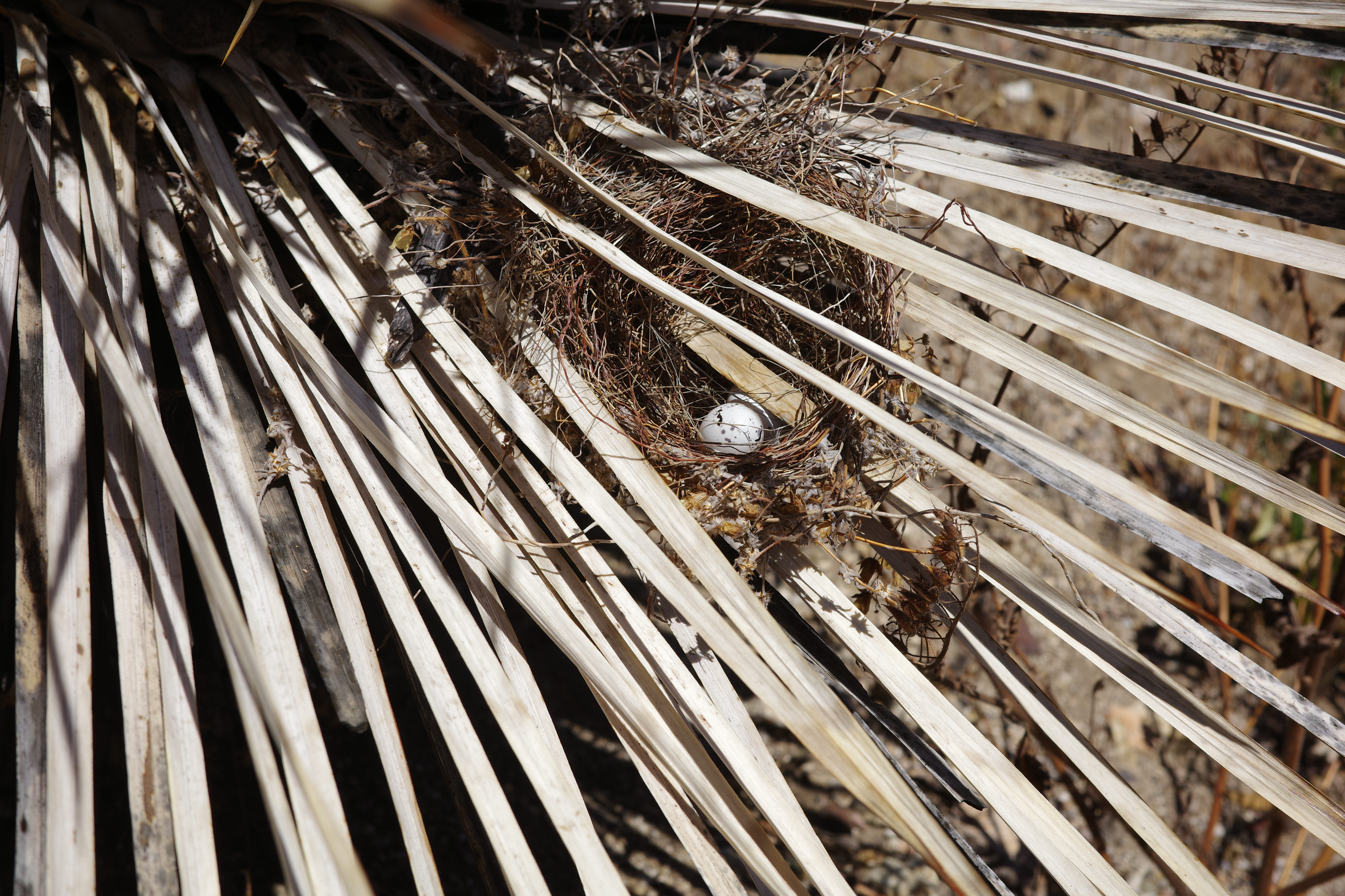
This is a very old, very abandoned thing in a very burned area. So there's barely any garbage or signs of human visitation at all, and also few animals. Lots of footprints on the trail, but they're indistinct and probably made by animals, aside from a single shoe print on the climb up to the ridge. Some of the yuccas look like maybe they cut a haircut long ago, but it isn't clear. Somebody made a nest in a yucca
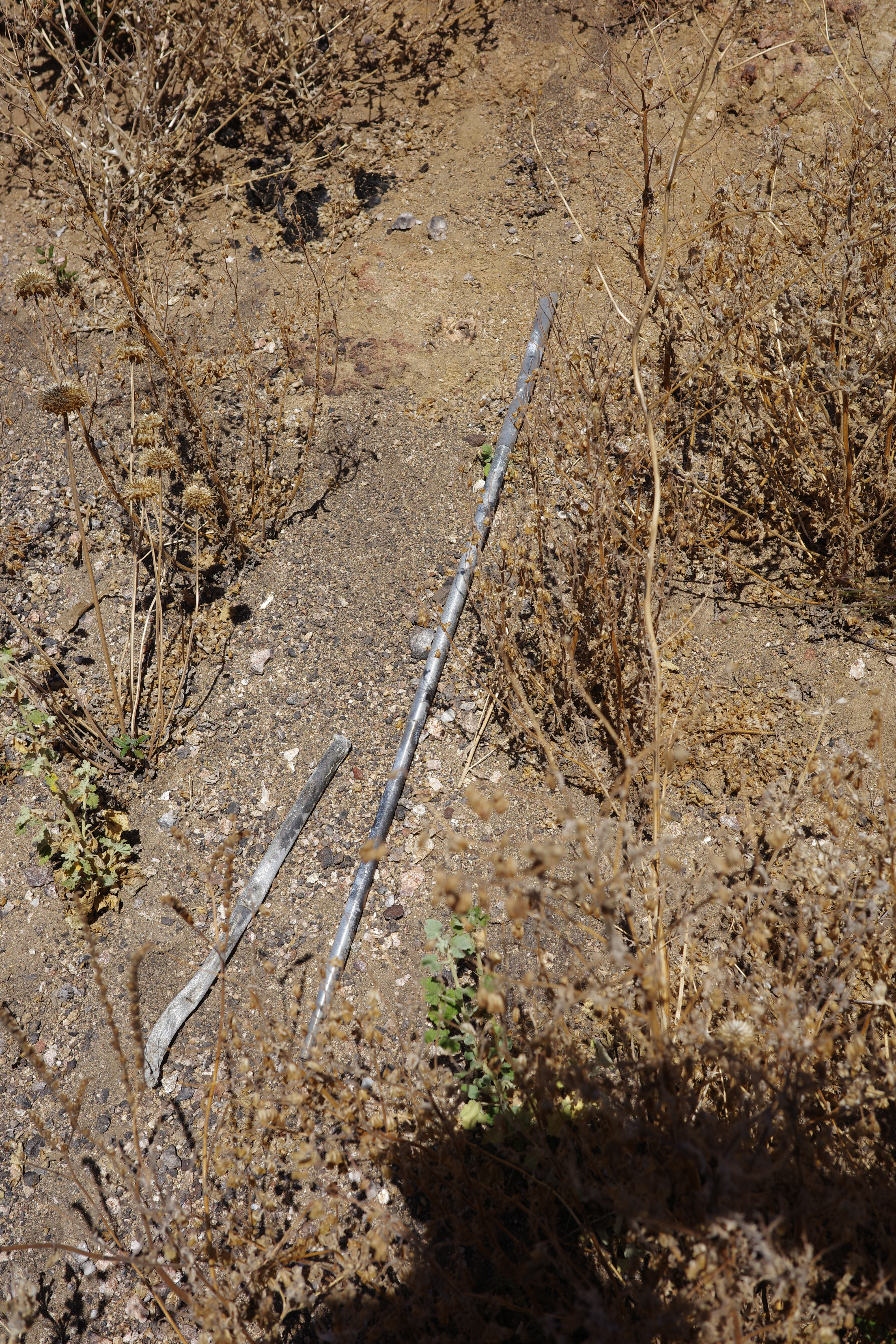
And someone else discarded some... old trekking poles?
Found a piece of an old glass bottle in one spot too and a mylar balloon. That's it.
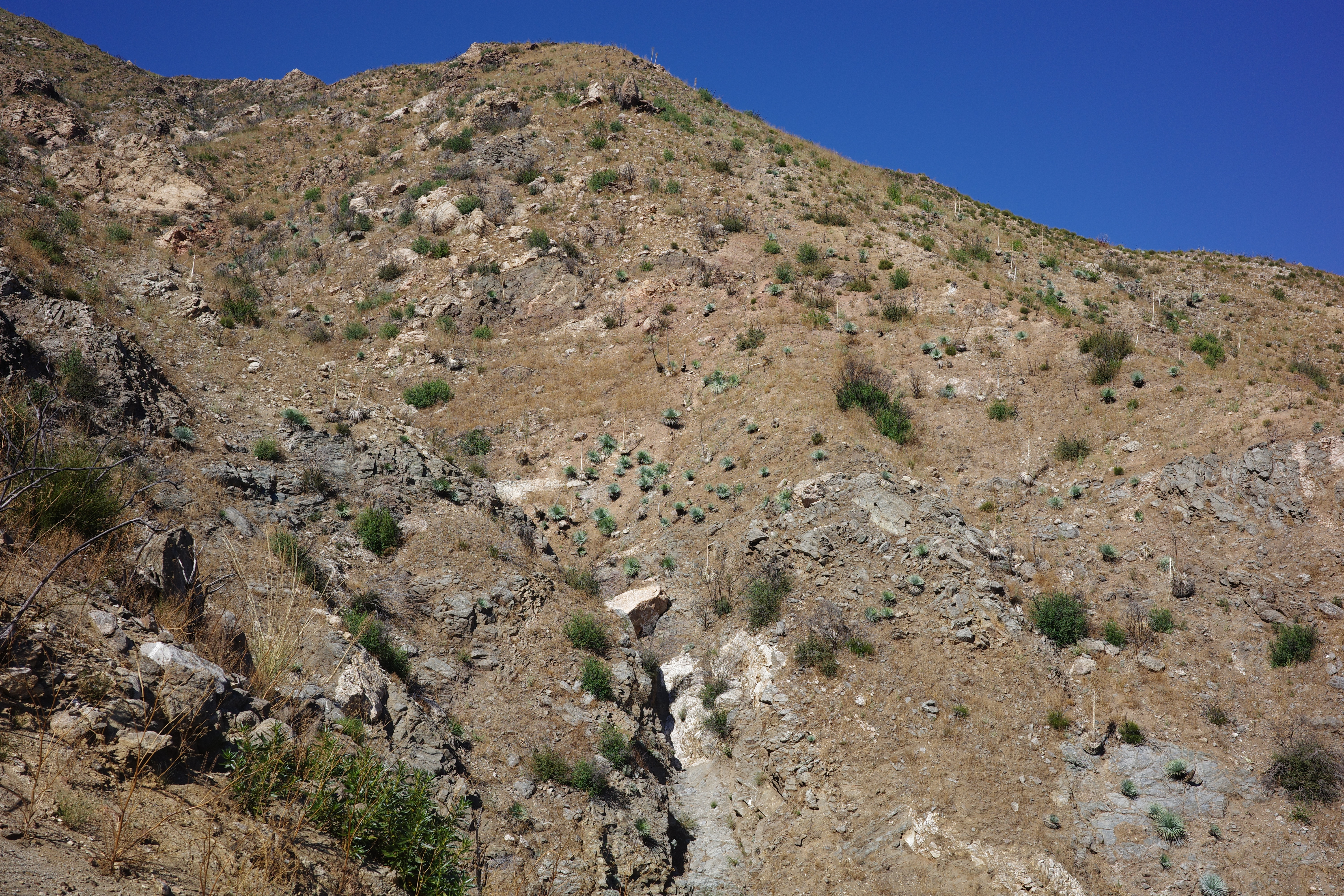
The slope we climbed up to meet the trail:
See the big red patches? That's all poison oak. On that topic, there isn't any poodle-dog anywhere. Why not?
As the last time, the north-facing slopes are brushy, but unlike last time, they're burned and easier to traverse:
The Shoemaker canyon crossing is verdant. There's a working stream that's real nice and a few big living trees. We took a lazy lunch break here. A solid rock wall protecting the trail is still standing just past the Shoemaker canyon crossing:
A bit further, Shoemaker canyon's falls came into view. There's a single big drop above
And 4 smaller drops in a row below
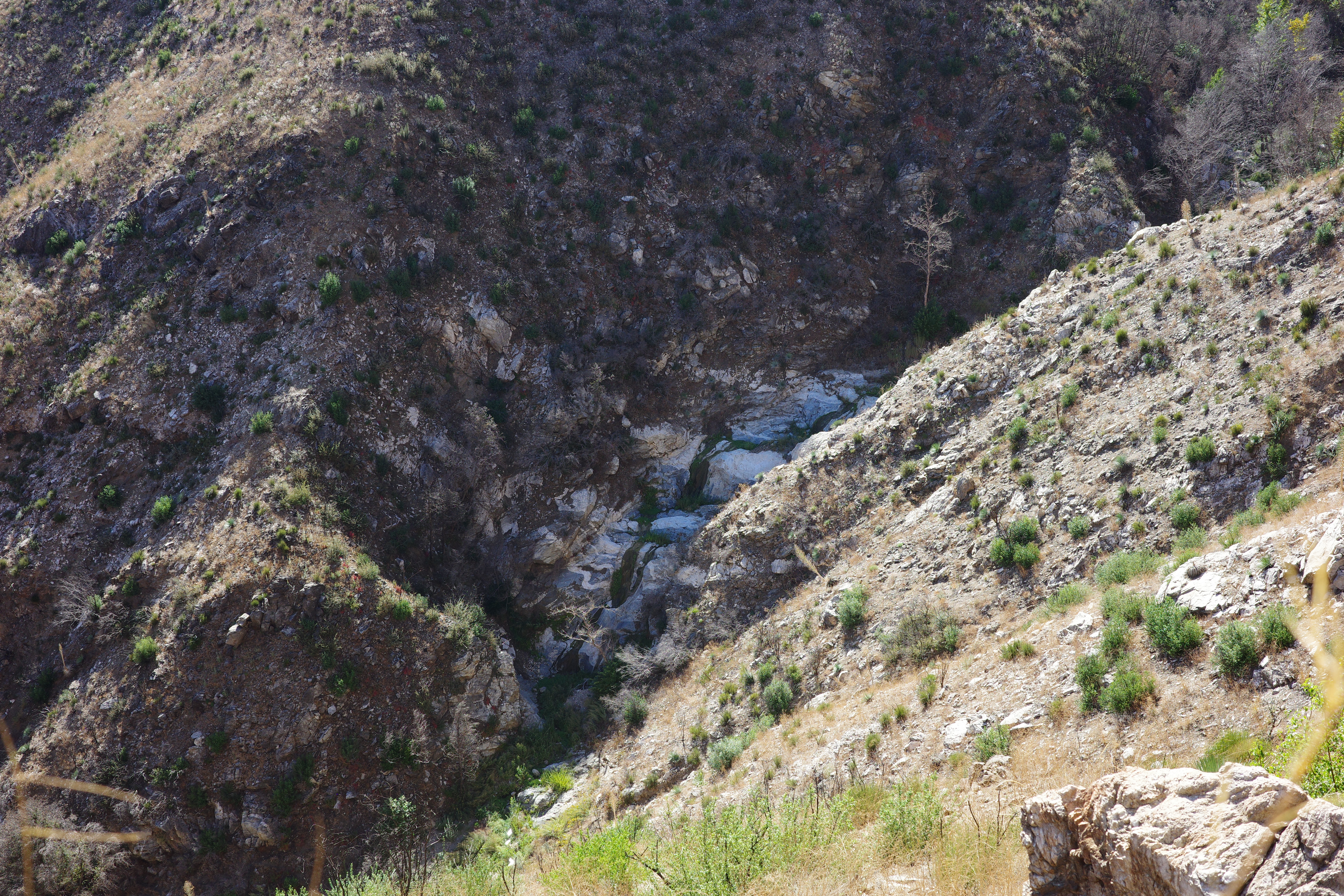
Looks like a good canyoneering route. A bit after that the trail climbs a bit to bypass a cliff. It's up there somewhere
It was getting late, and we decided to leave that for next time. We dropped down a ridge to the road, between the two tunnels.
Then down another, much steeper, ridge off the road down to the East Fork. There were a few small falls just above the river, descendable without ropes. At the East Fork, we crossed paths with the bungee bros, going home after work. They thought we looked dirty, and wondered if we were "off-roading". I guess we were.
We took a swimming break, headed back to Heaton Flat, and climbed the old road back up to Shoemaker rd. This has one big washout, but this is bypassable, and it's a good, usable shortcut.
The PL&P trail is cool, and is still there and is in great shape, considering how old and thoroughly abandoned and forgotten it is. Next up, the section at Rattlesnake canyon and Devil's gulch. Big chunks of these do not appear on the LIDAR imagery, and likely have fallen off a cliff long ago. Can't wait!


