

I used the magic LIDAR-based maps to see the trailbed (it's still there almost through for the whole run of the trail). I traced that, added it to OSM (marked "abandoned"), and made an export to caltopo for easy cross-referencing.
Today I went to check out the bottom of the PL&P trail. I started, near the mouth of Williams canyon, at Shoemaker Rd..
There was another car in the lot. I was doubtful there was another PL&P enthusiast out there, and I quickly crossed paths with the other person. He didn't speak english, so I don't know what he was up to, but he was way too clean-looking to have walked the PL&P trail.
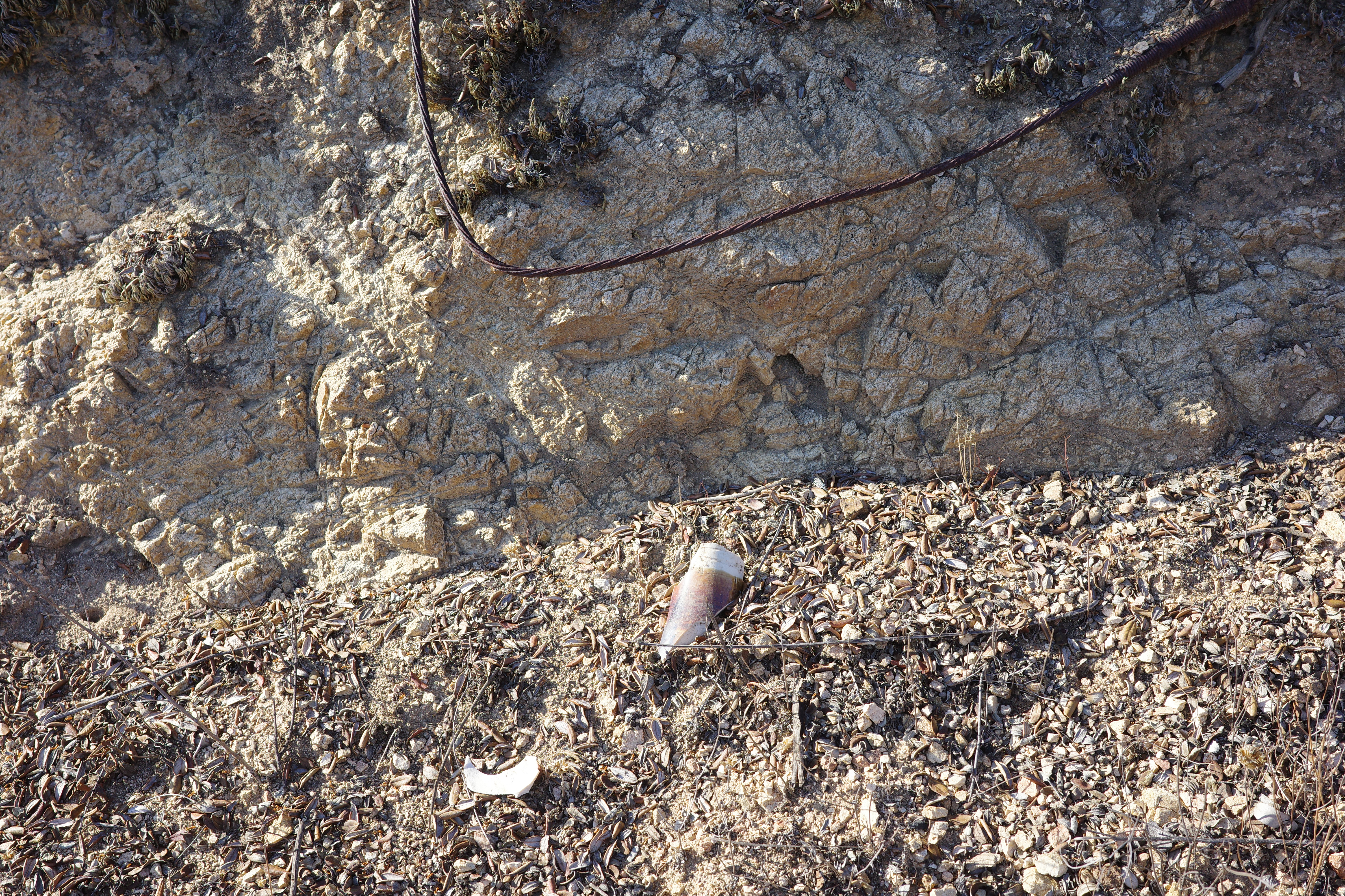
Shoemaker Rd crosses Williams canyon on a dirt embankment, with a human-built drainage crossing it
I poked around a bit, and eventually found the trail. There's a short dirt road going down the embankment. Turning left into the first drainage, and then scrambling up the slope to the right meets the start of the trail. This thing predates this dirt road and the embankment and Shoemaker Rd, so the start isn't where it used to be.
Once I was on the trail, it became clear that I made a mistake. One big reason to be doing this now is that the Bridge fire burned all the brush. However this place wasn't in the burn area. That was a few miles up the trail, far enough that I couldn't even see it. Oh well. I brought loppers and a saw, and was ready for battle.
As claimed by the LIDAR map, the trailbed is still here, and following the trail wasn't difficult. There was brush, some burned dead wood from an old fire and some washouts. Nothing terrible. A representative "good" section near the start:
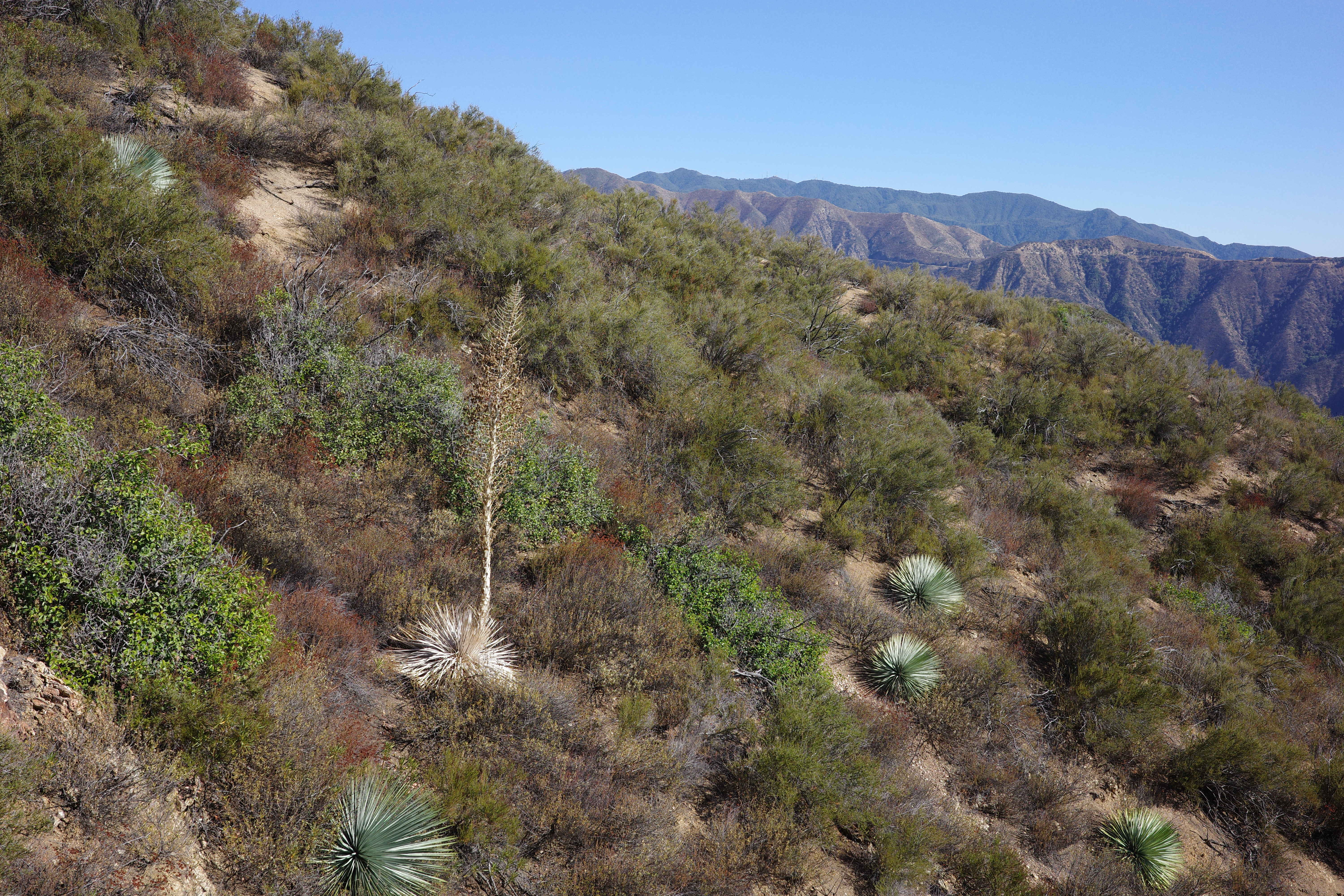
I'm going up there somewhere:
The trail on the slopes above is in this photo, but I can't make it out. Here's a good section next to a cut on a rock wall
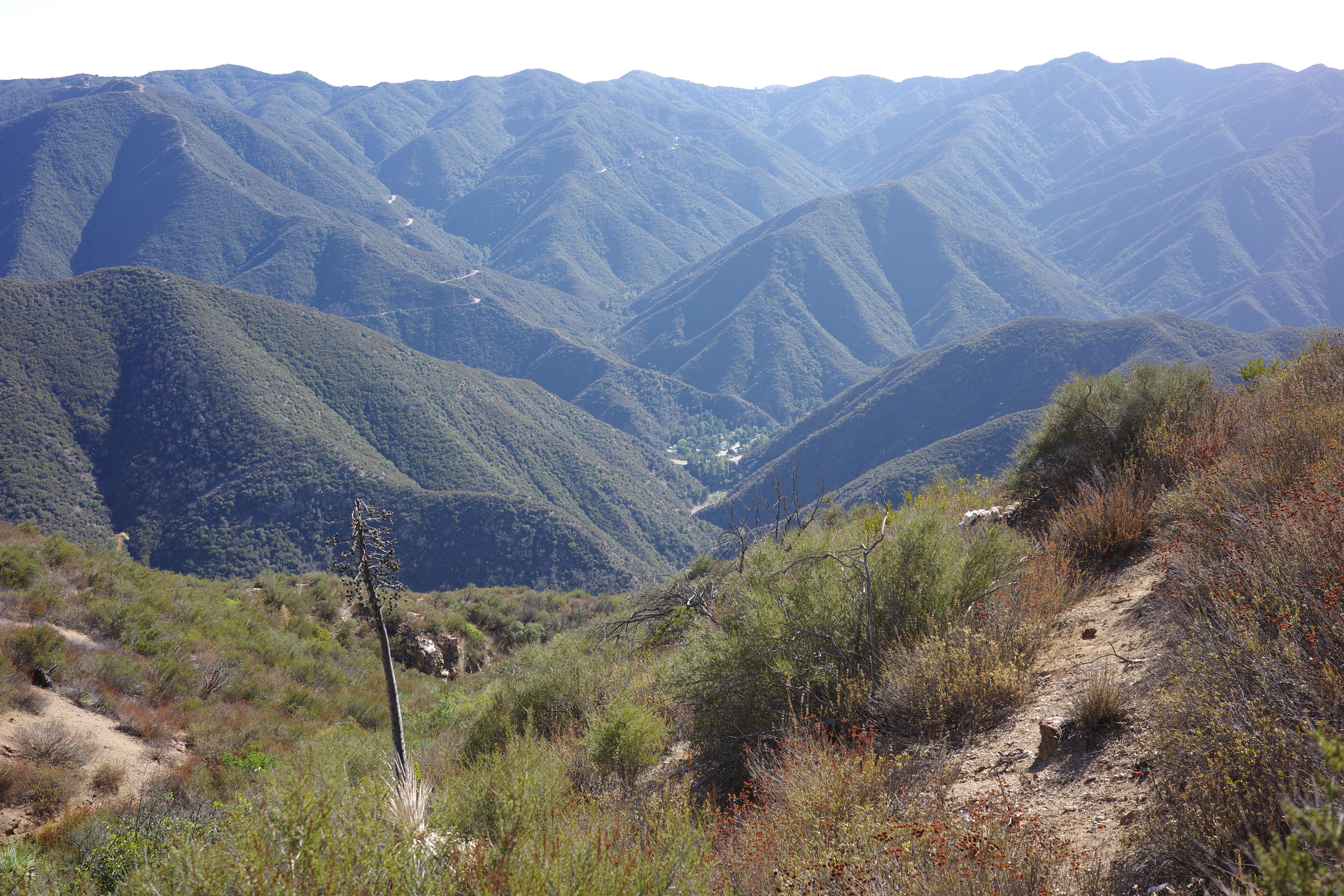
I did a lot of cutting, so progress wasn't super fast. Eventually I crossed to a North-facing slope. The brush got much thicker, and I mostly gave up on the cutting. Eventually I arrived at the saddle below point 3261. The brush eased here, but the trail was no longer discernible as a thing that's different from various clearings on the ridge top. The LIDAR map says the trailbed is distinct even here, but there's too much brush to make it out. Where I came from:
Here the trail traverses the steep slope to the E of 3261, then switches back to the saddle behind 3261. I couldn't find the route, and the steep slope looked unfriendly, so I stayed on the ridge. The brush kinda sucked, but it worked. From the top of 3261, looking forward along the ridge:
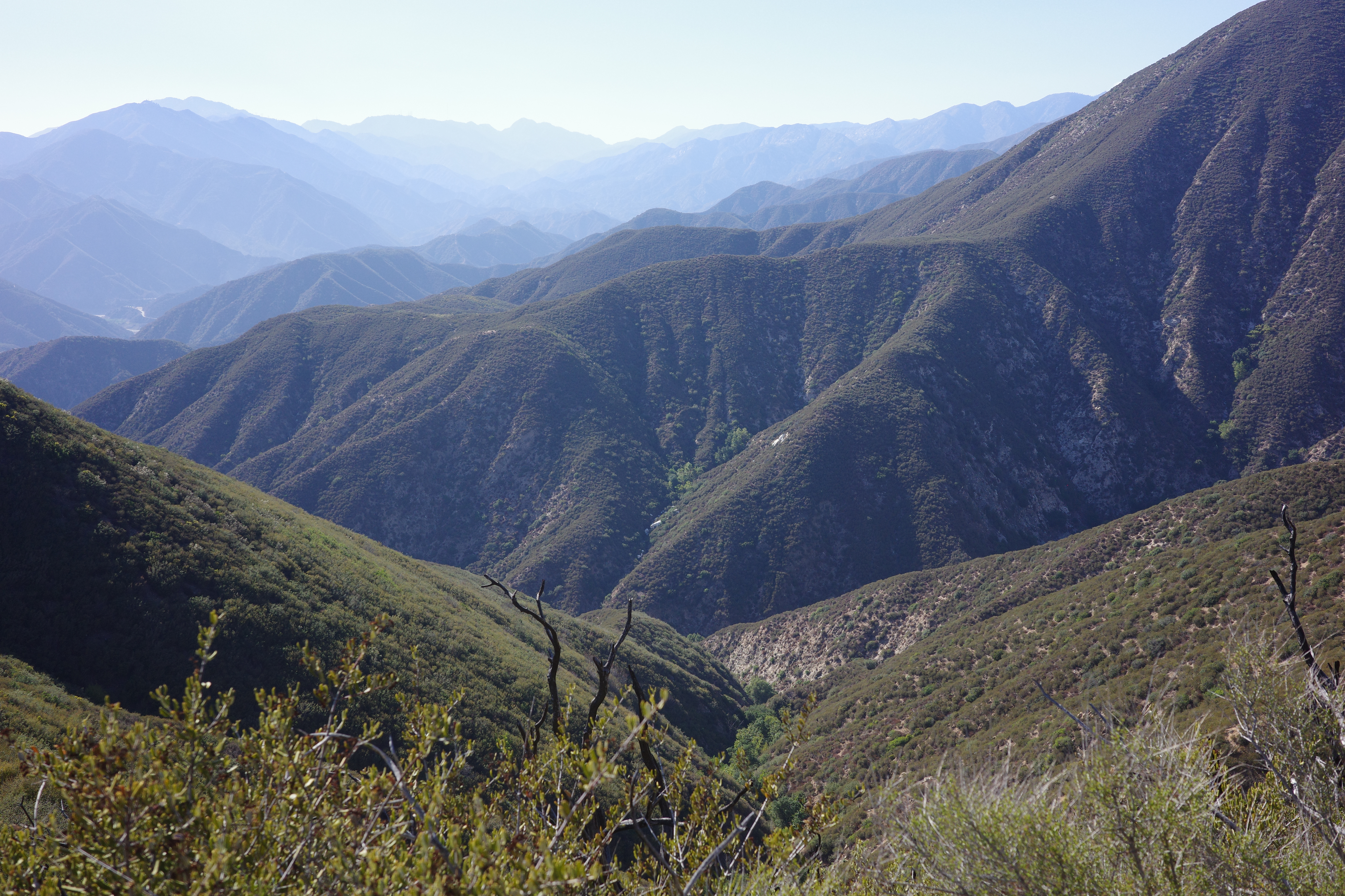
The PL&P joins my ridge in the saddle directly ahead, runs up the ridge a bit, and then hits a junction: it traverses to the right, while the trail across Graveyard Canyon to Doe flat traverses left. You can sorta see the trail cut to the left, but I don't see one to the right. The LIDAR maps can clearly see both trails. We're next to Rattlesnake peak
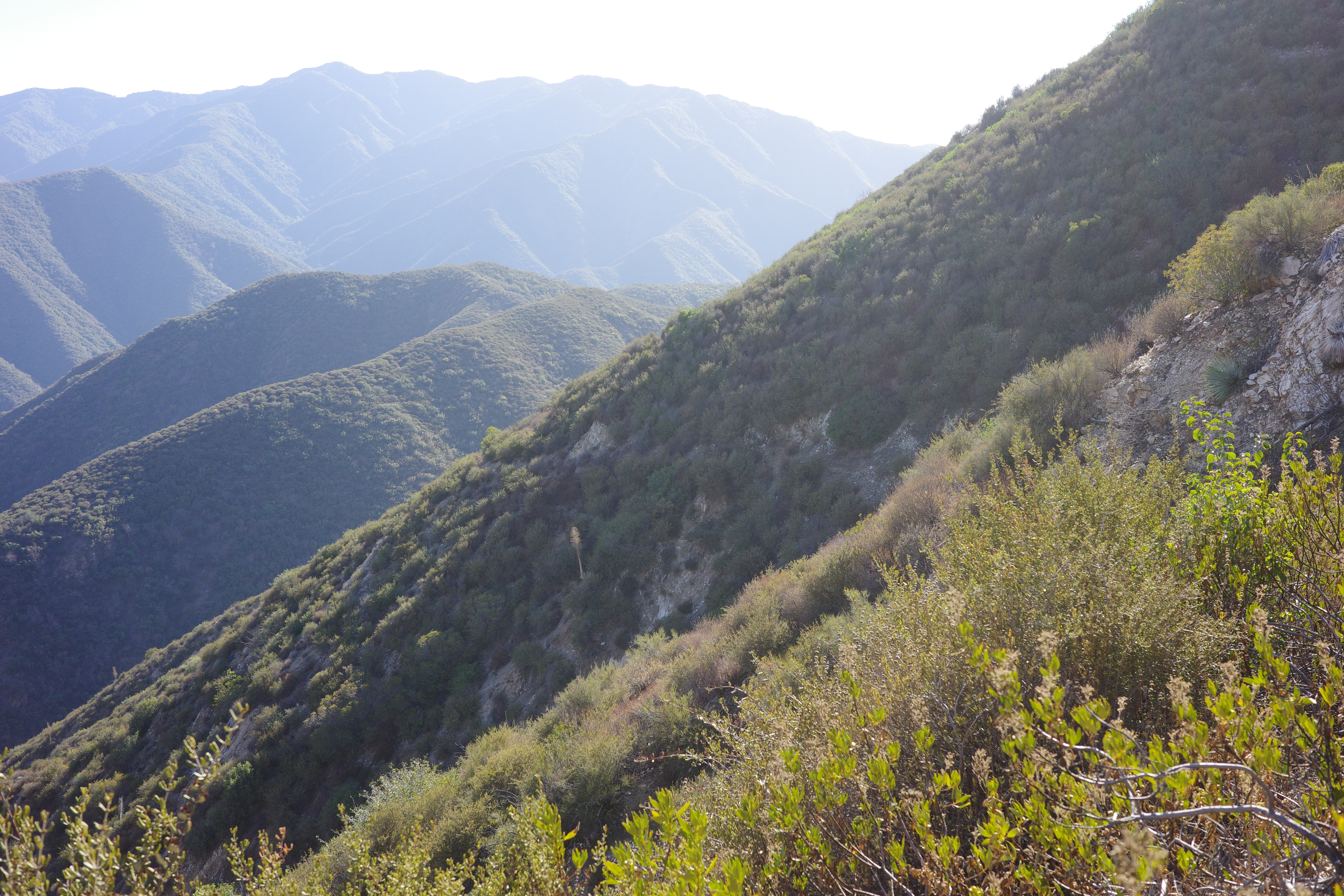
I went to the junction, and followed the PL&P a bit. Don't see the junction at all: the Graveyard canyon trail is buried in brush. The PL&P is better brush-wise, but the trail isn't distinct and I was never sure I was exactly on it. Eventually it got sufficiently late, and I turned around. I was approaching the ridge crossing to take me out of the Williams Canyon drainage, and to the East fork, but I wasn't quite there yet. The trail straight ahead:
No idea where precisely it is, but the terrain is friendly-enough that all the lines would work. Where I came from:
Graveyard canyon:
On the way back I decided to skirt 3261, and make an effort to stay on the trail, with the switchbacks and everything. I made the first two switchbacks, but then the brush became too much, and I cut the rest to the bottom-most traverse. This crosses some steep stuff, but the cuts are all still here
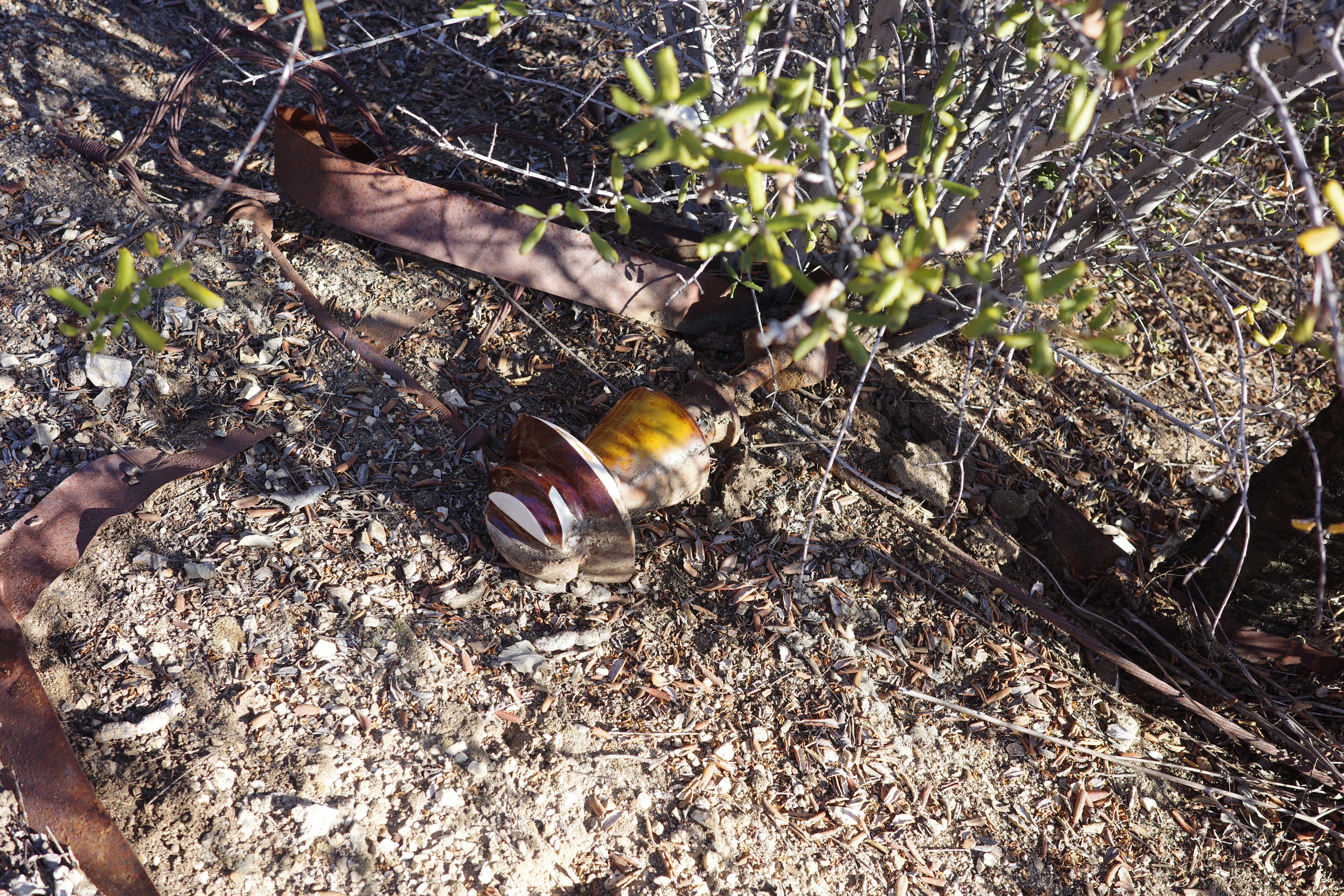
and it's all sorta ok. Apparently there were power lines here at some point. Found remains of two towers
Eventually I was back at the saddle and on the trail, and got back to the bottom pretty quickly since I cut back the brush.
Coming back to work on this would be good, although I might teleport to the next chunk by riding to one of the tunnels, and scrambling up.


