As expected, past the bridge the human traffic drops to almost zero. I only saw two people setting up camp at the stone cabin below Stanley-Miller mine. The water pipe supplying the mine from above has fallen into the river, as has some machinery. MtGoatMan's report has photos. I was planning to take photos on the way back, but that didn't happen. Read on!
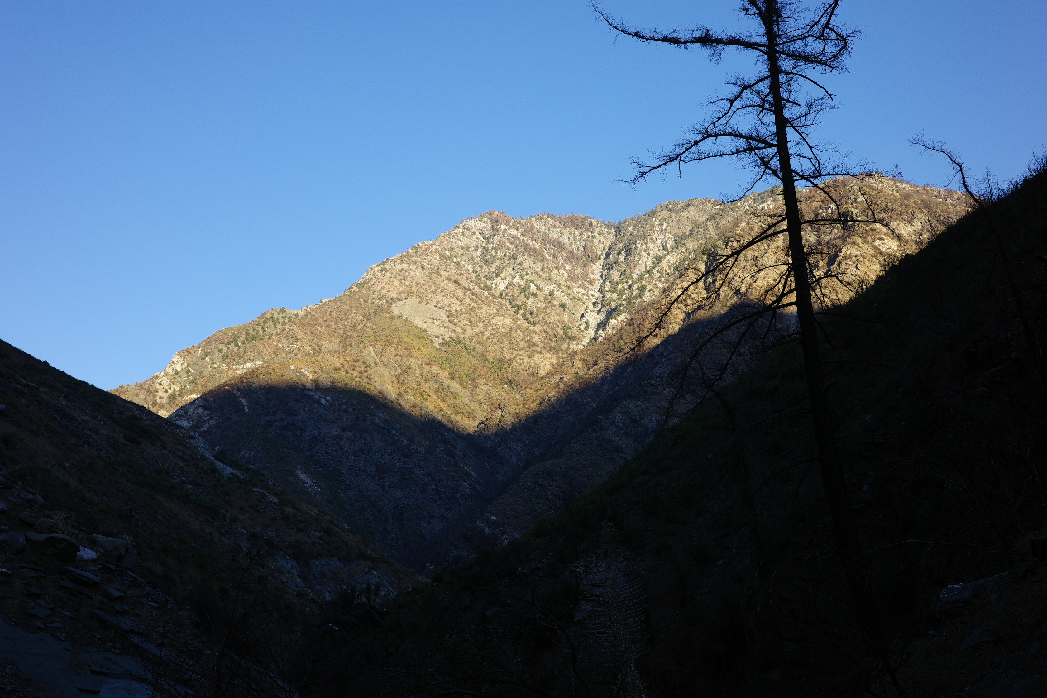
The water level seemed normal to me, and the canyon is nice above the bridge. Iron fork is still real nice. It was always narrow and rocky, and I don't remember it being particularly verdant. It's definitely burned, but there are still trees and waterfalls and pools.
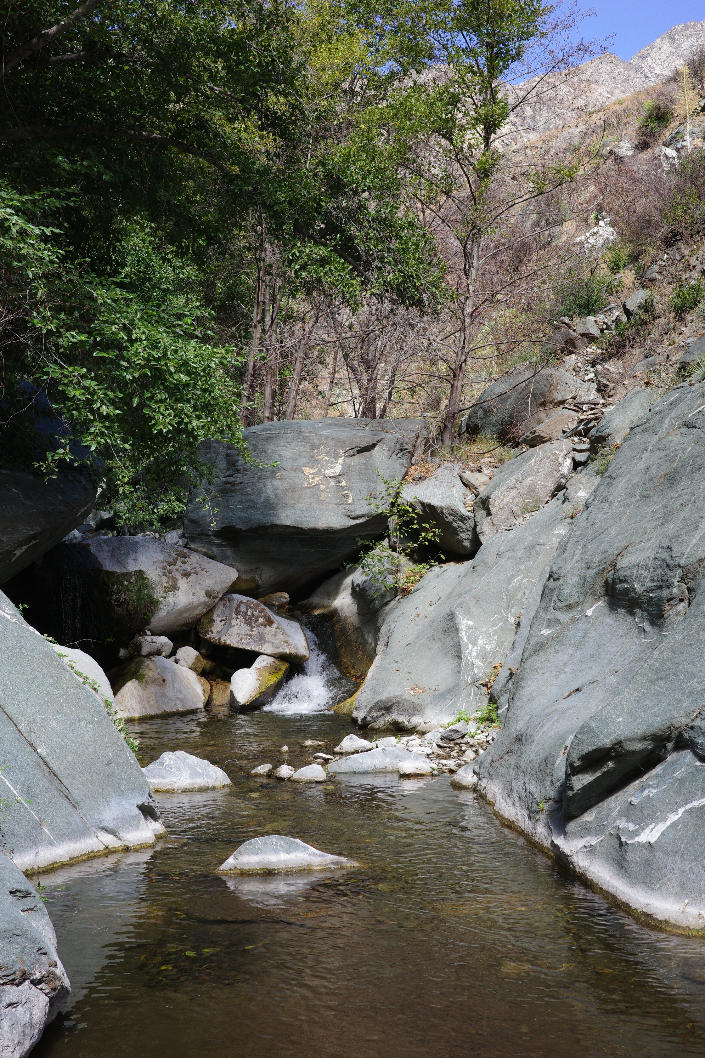
This trip turned into an exercise in preparedness for me. I was planning to camp at the sweet campsite Taco and I found on an earlier trip, and the first failure of preparedness happened at the last falls and pool immediately before the site
This pool was deeper than the others, and couldn't be waded. Since I failed to bring a dry bag, camping at that site wasn't going to happen. That's ok. I backtracked a bit
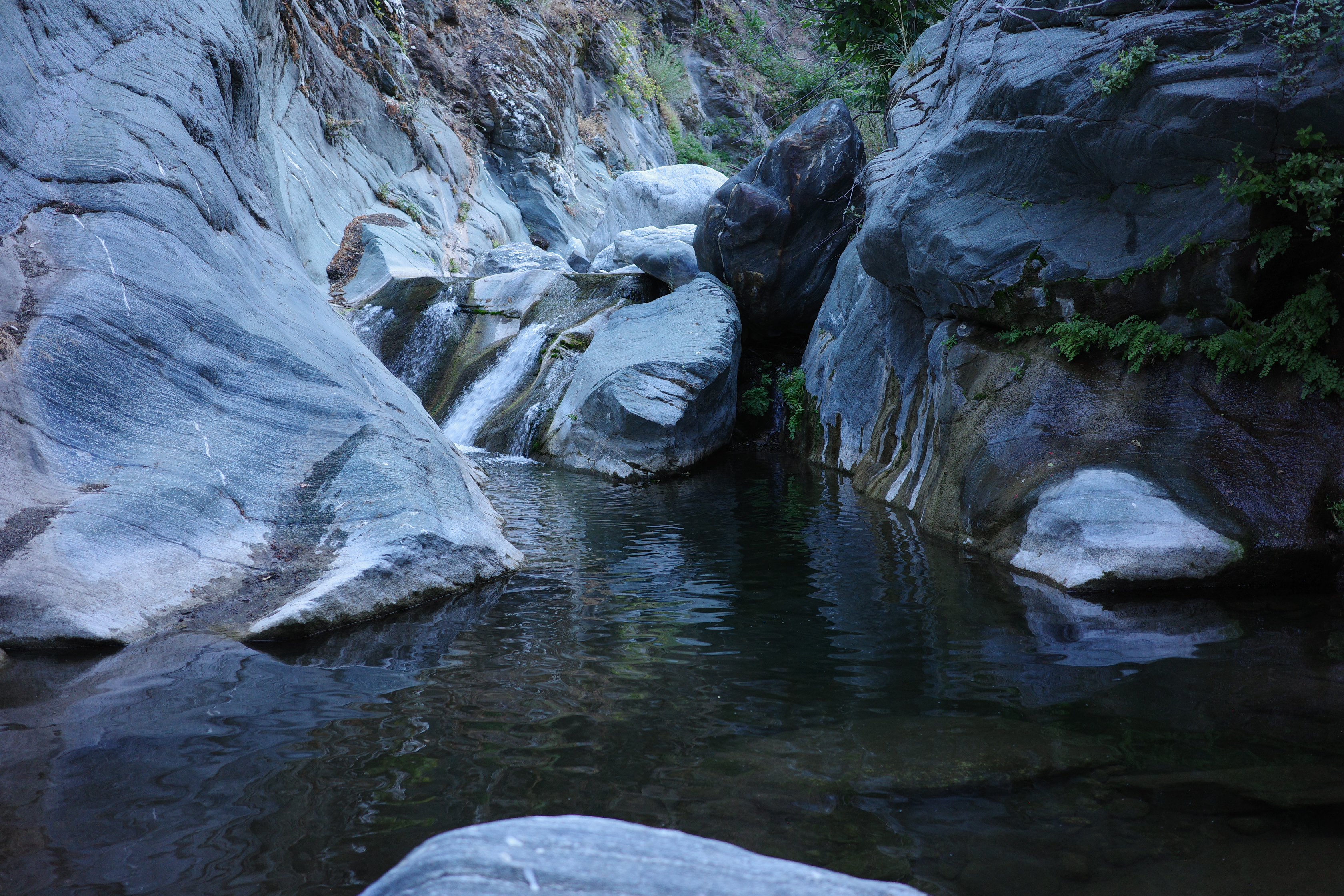
and found a ledge with a big-enough flat spot to sleep on
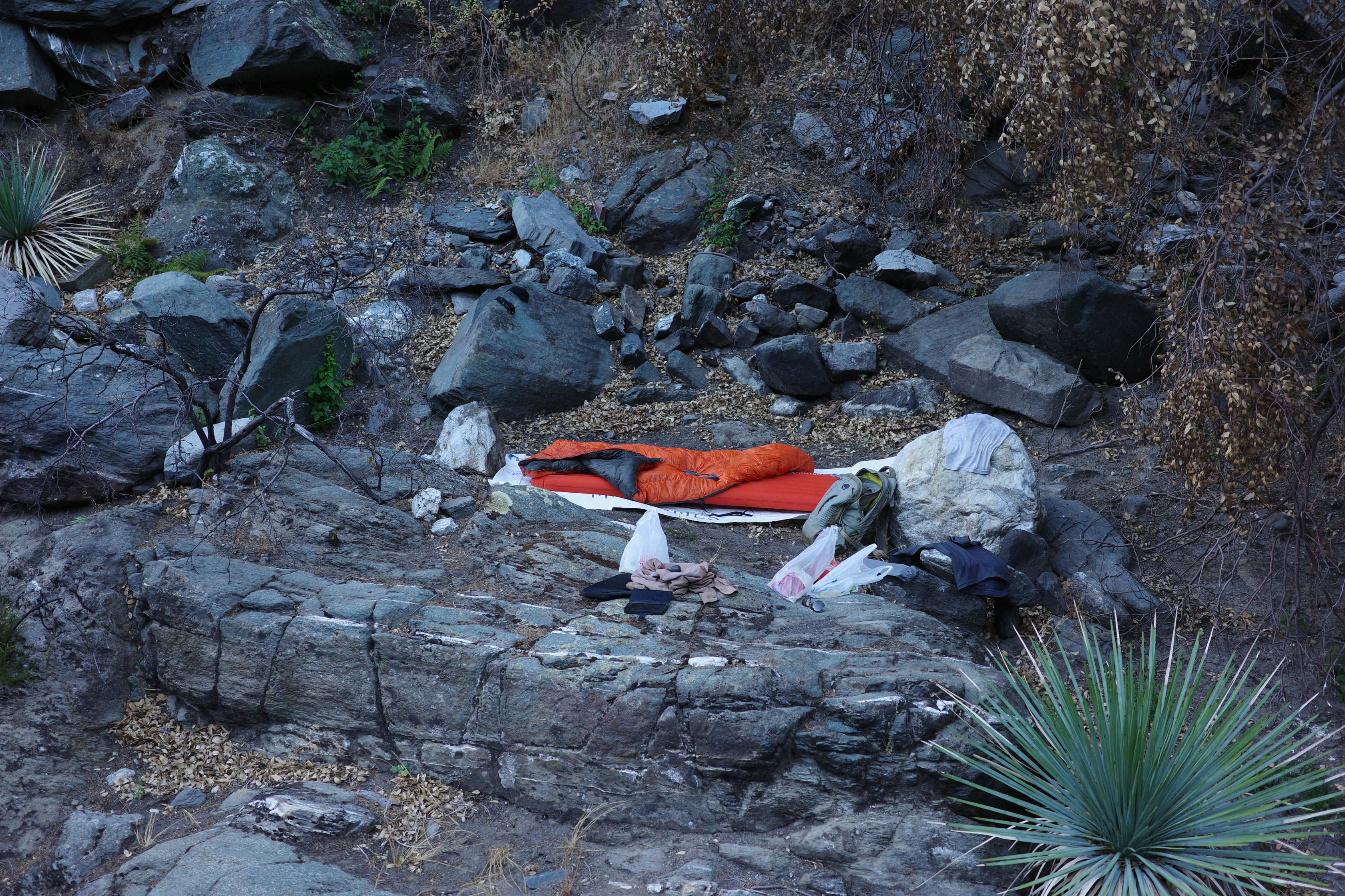
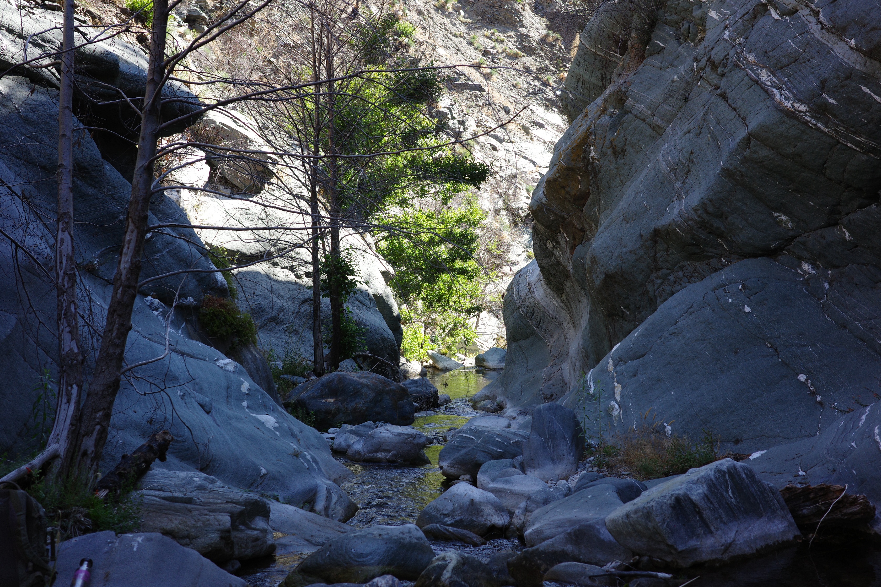
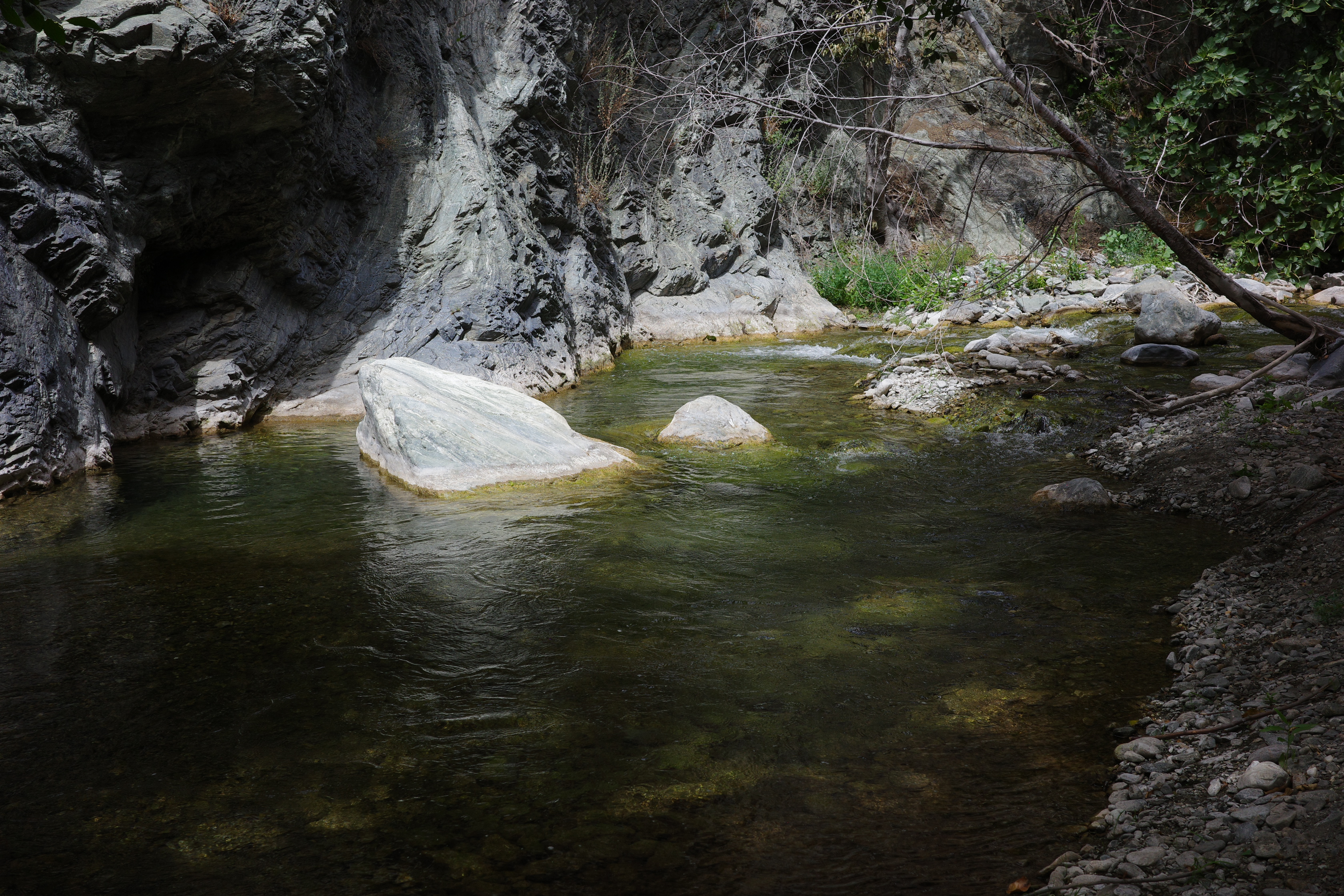
The surroundings were delightful
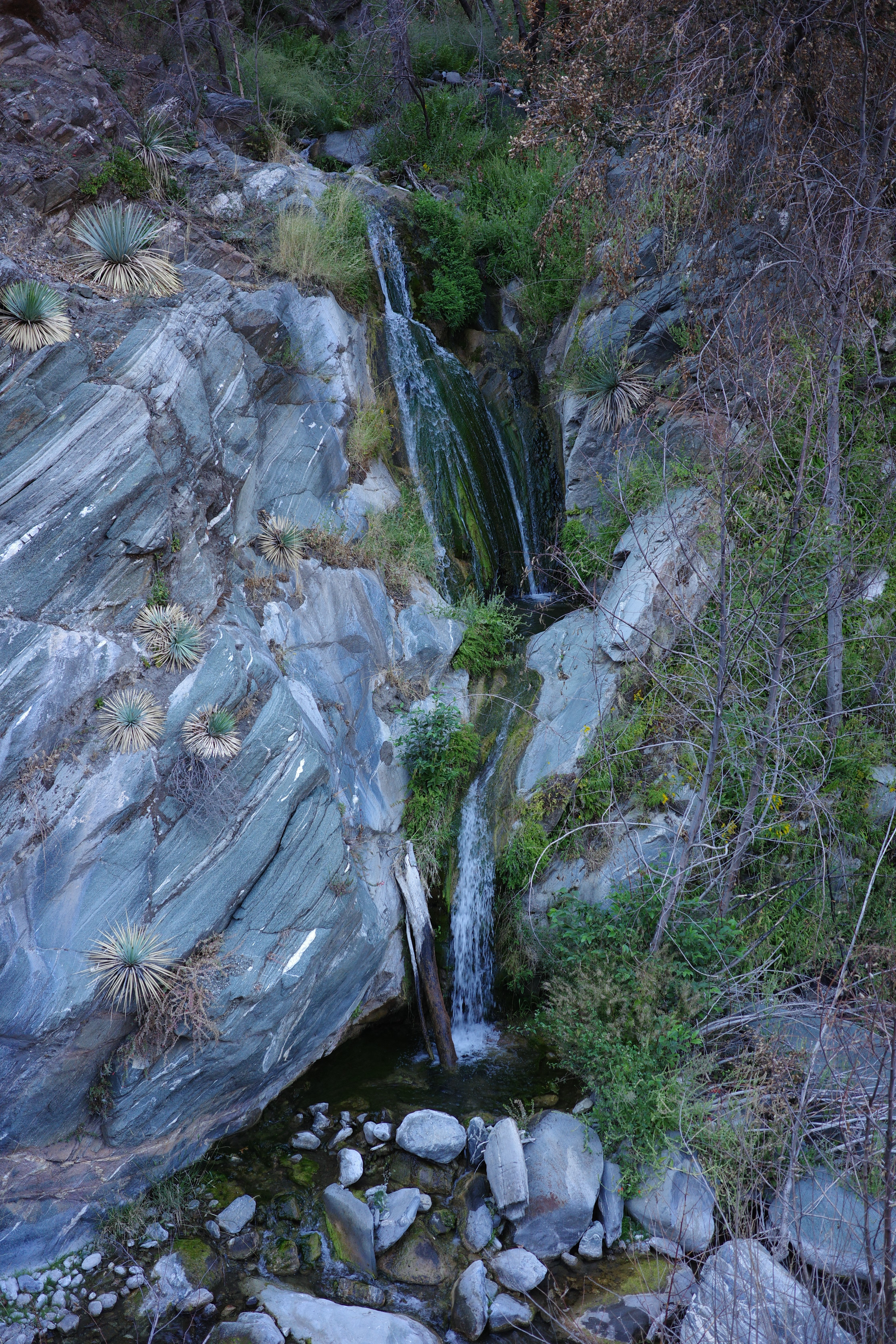
Those are the Ross Gulch falls, directly across from my site. And a great view straight at Iron Mountain. I set up camp, went for a swim, had some food, and had a great evening. Lots of bats. And then stars and planes. Then the full moon popped up from behind Iron. Hard to complain.
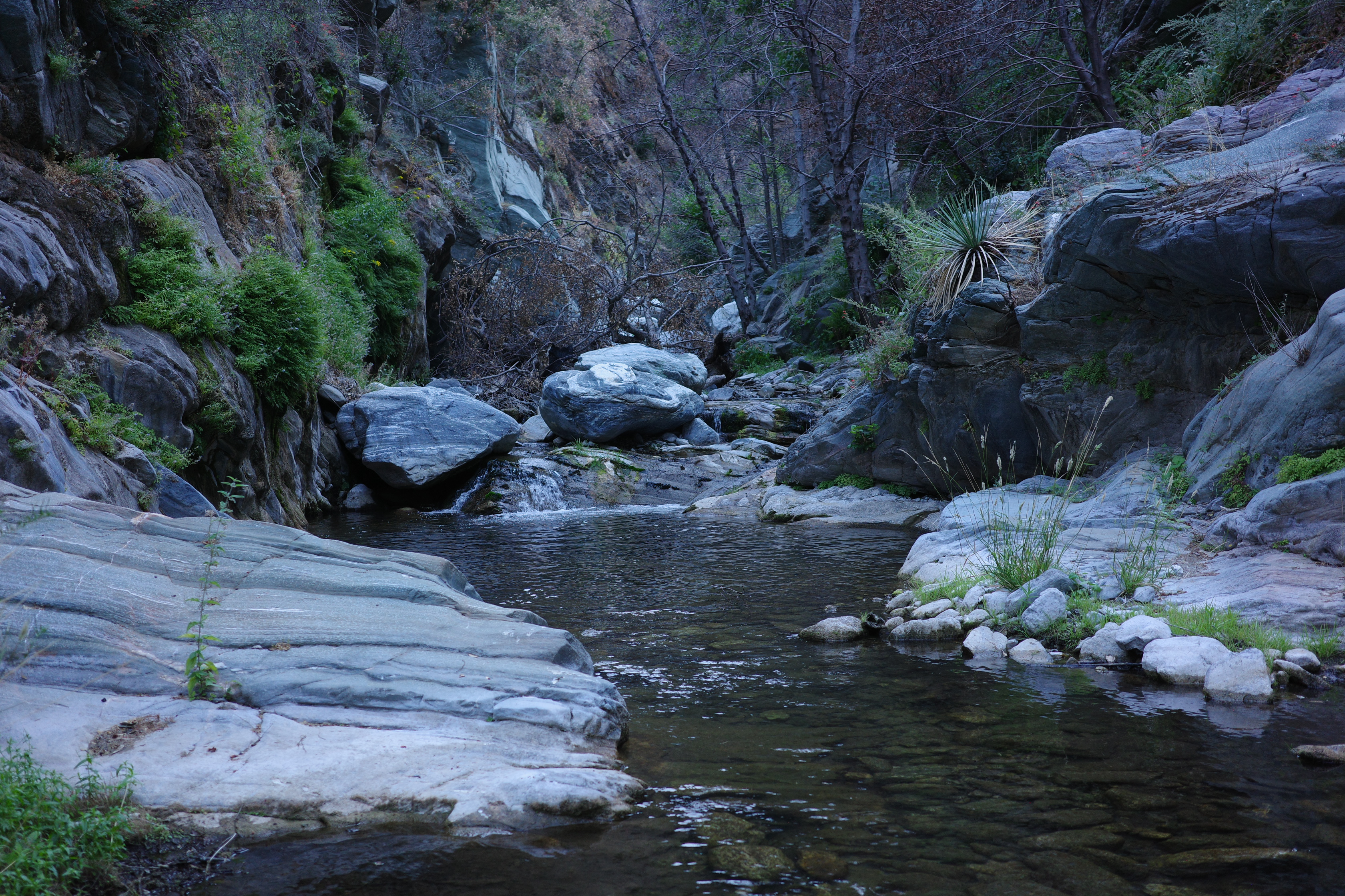
I was sleeping directly in view of the rising sun, so I woke up as soon as it rose. It got warm quick, and I took a walk/swim up to where I was going to camp. Saw some fish in the pools. The primo campsite is still there and it's still great.
I took my sweet time, and headed back eventually
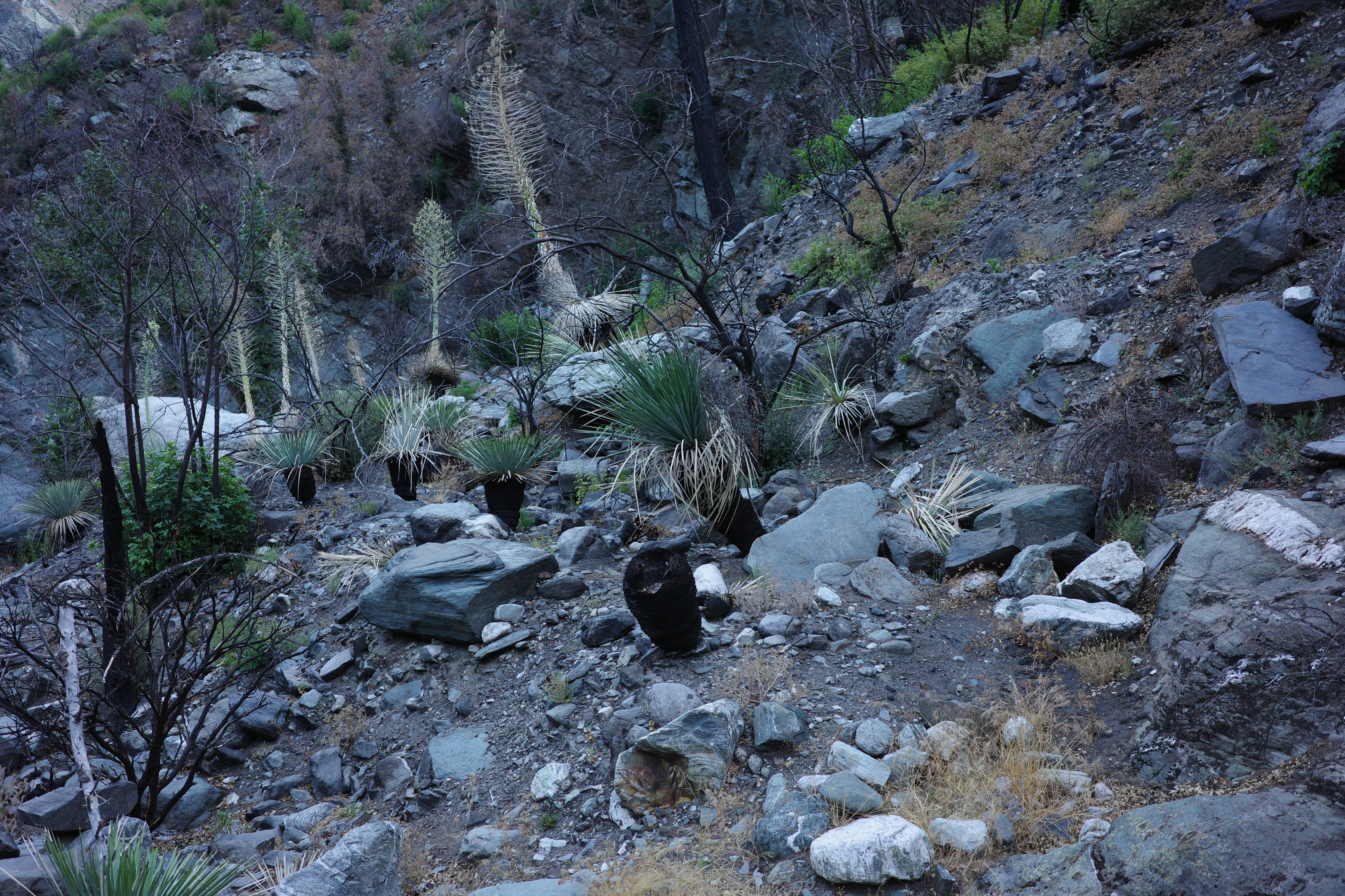
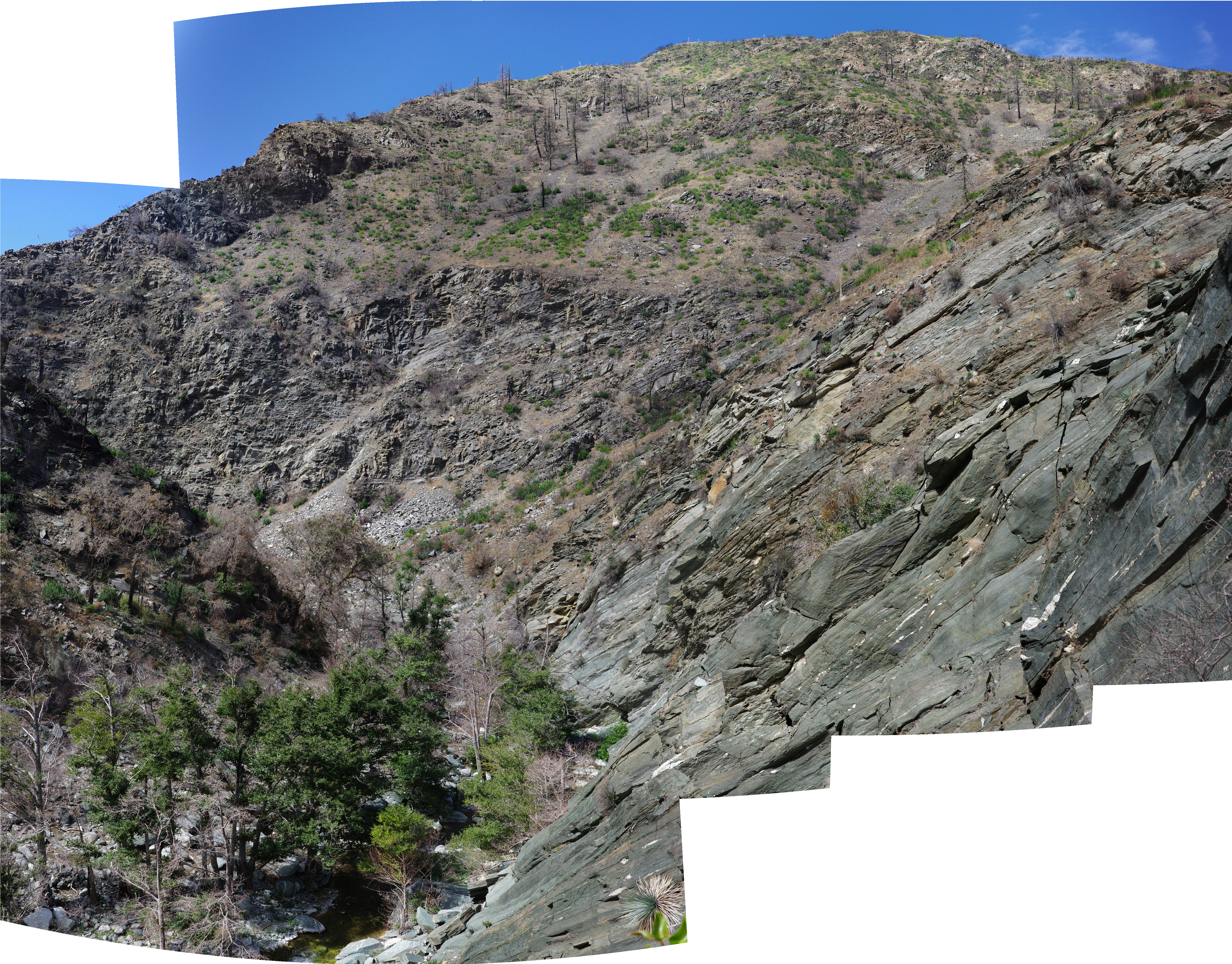
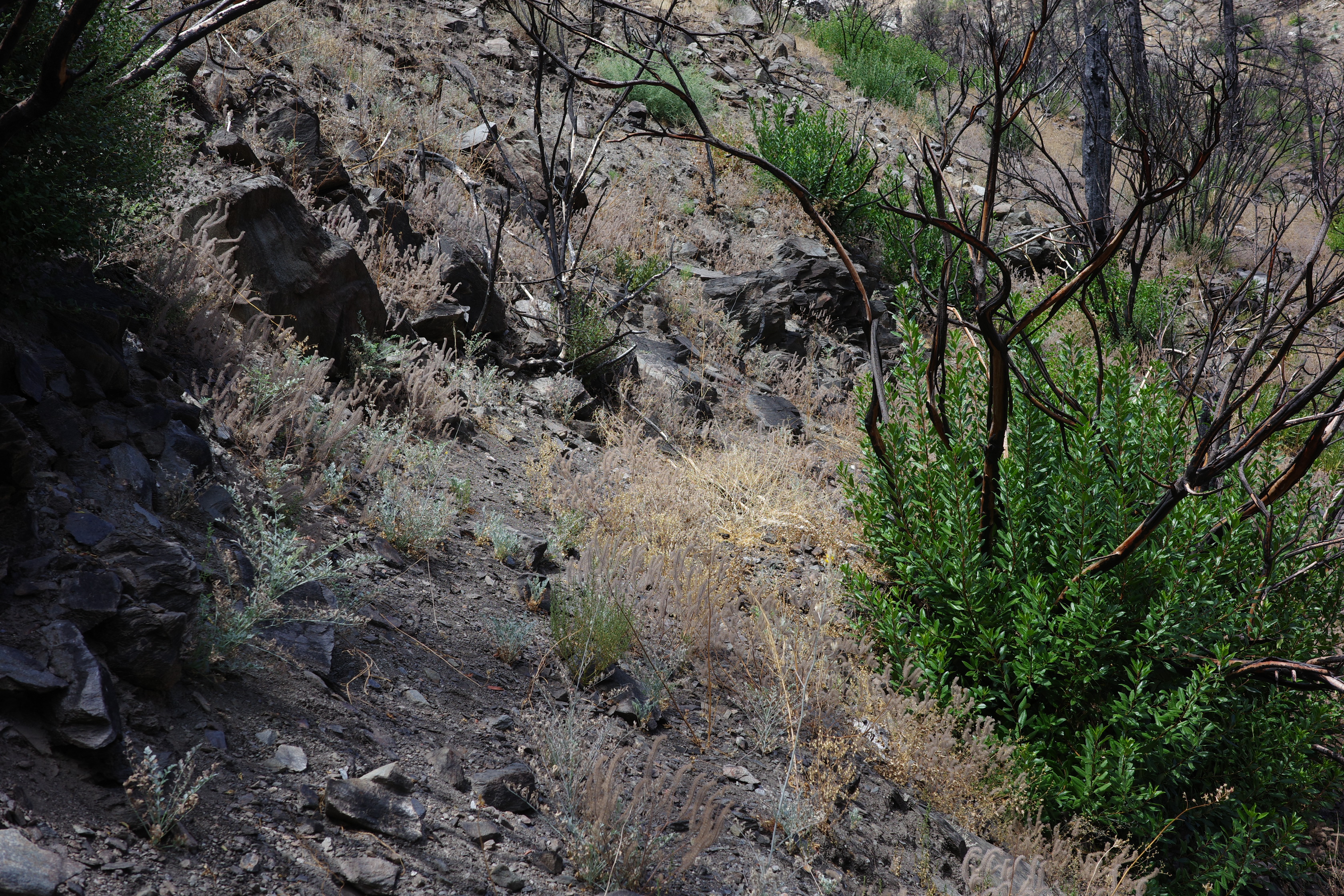
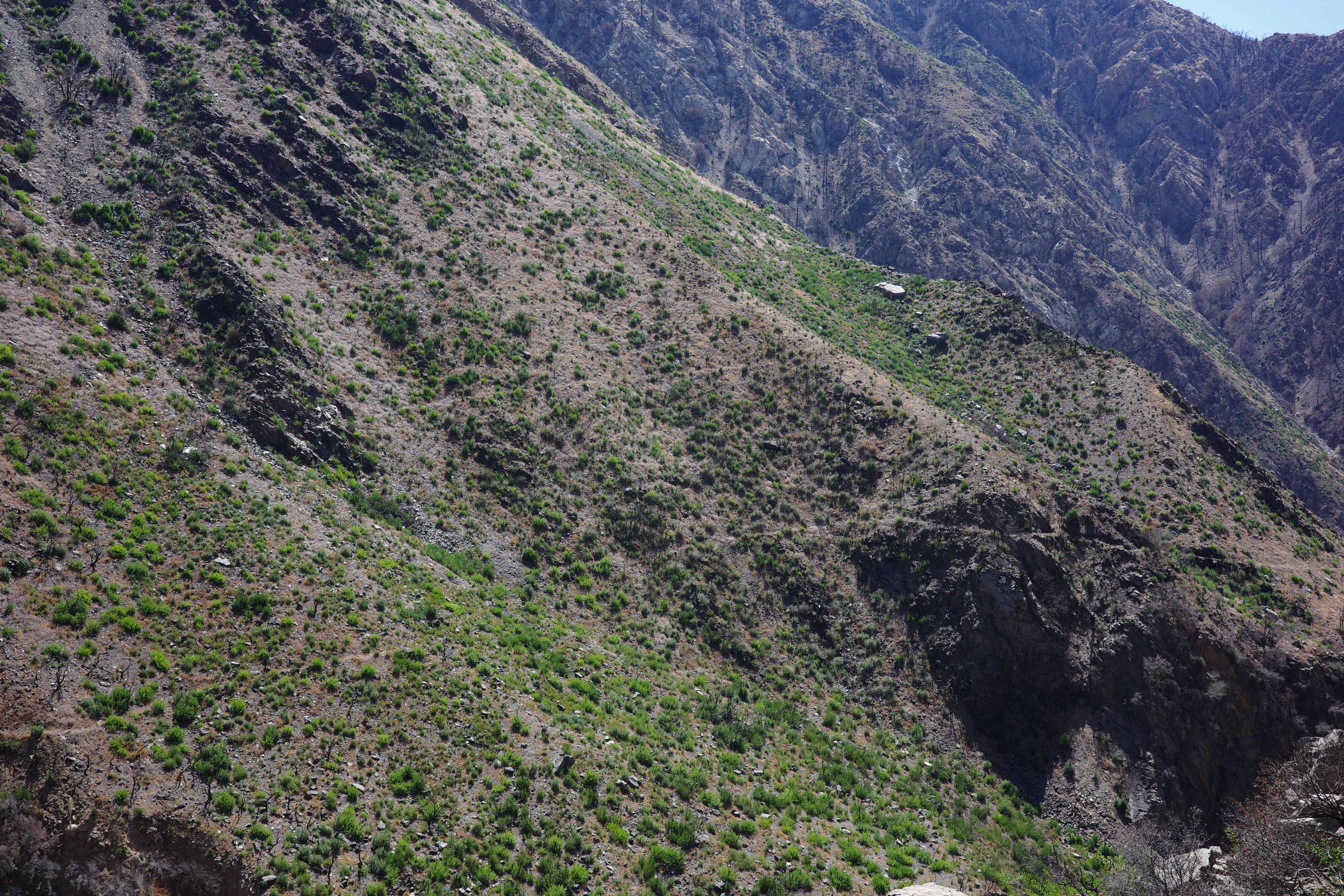
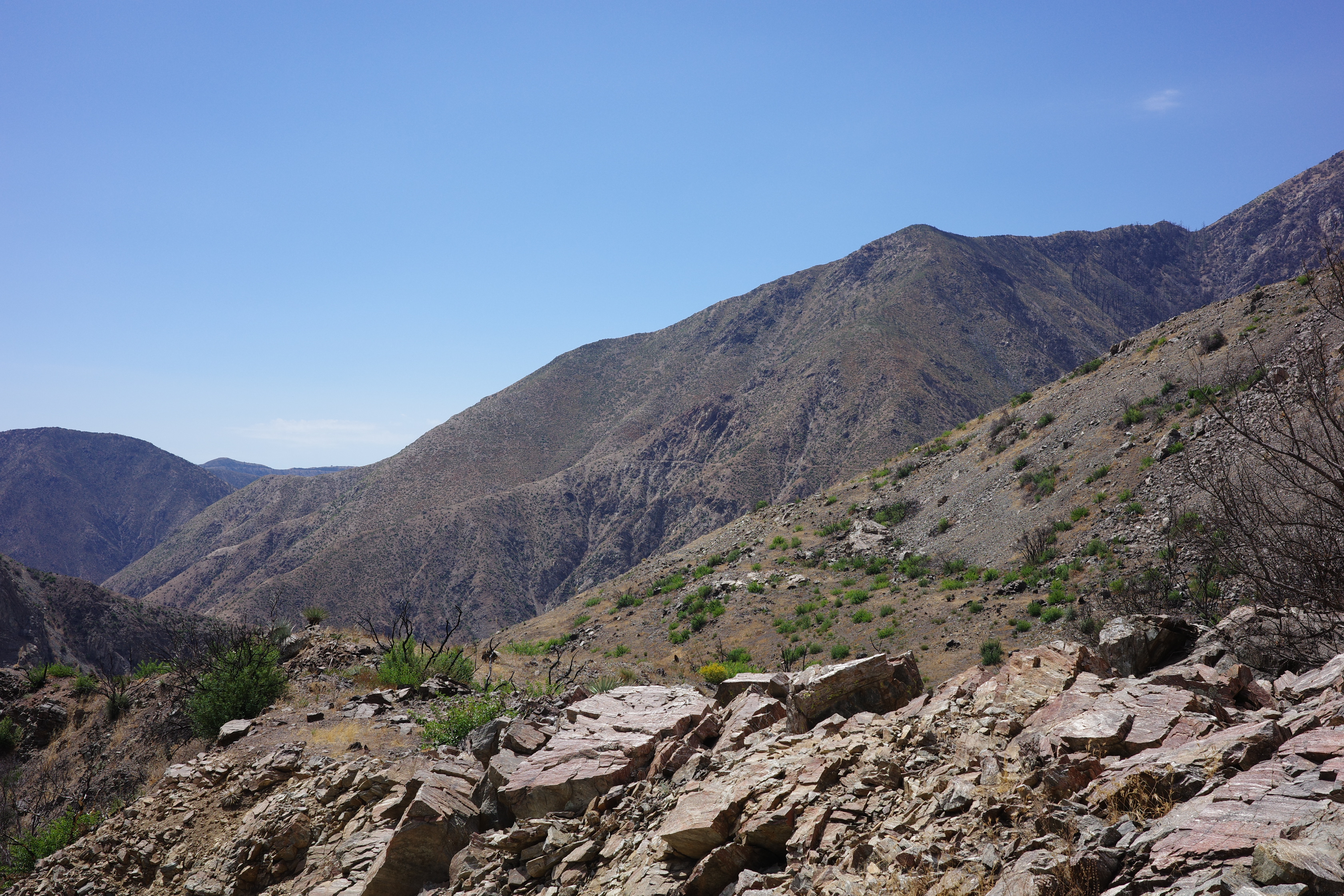
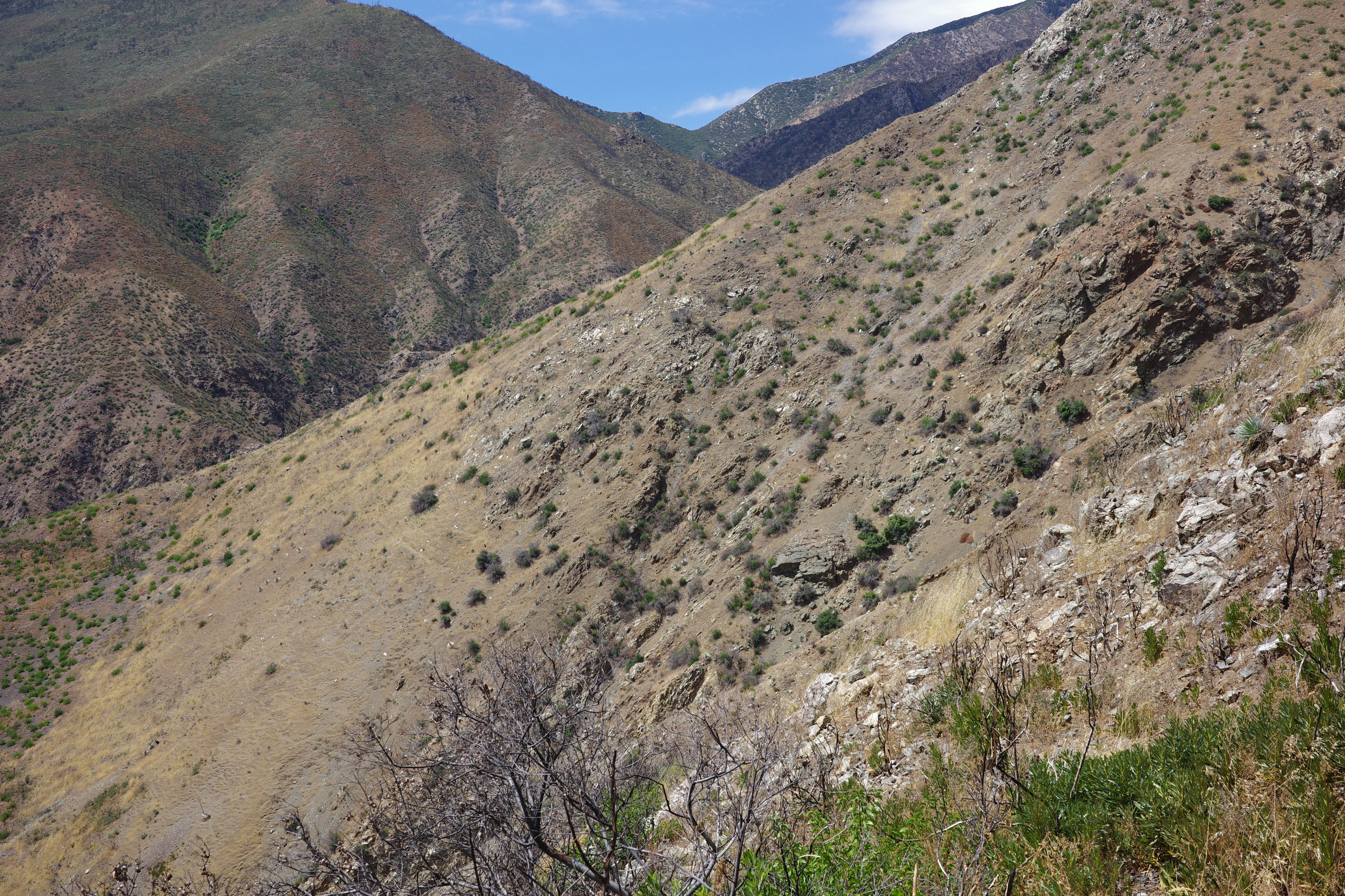
At Iron Fork camp you can see the slopes of Iron Fork above the river
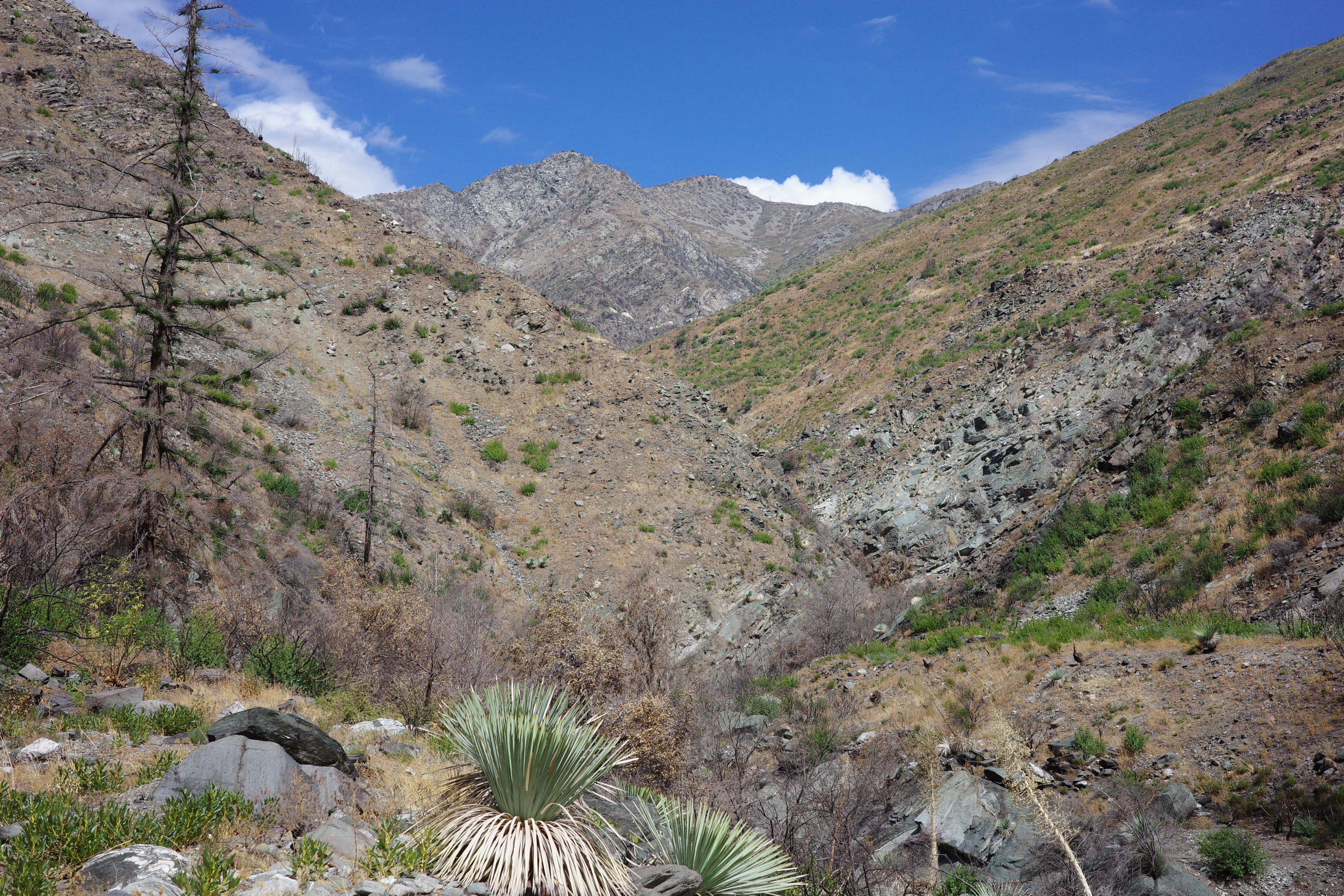
I think it was mostly brush, right? Well, it's not there anymore.
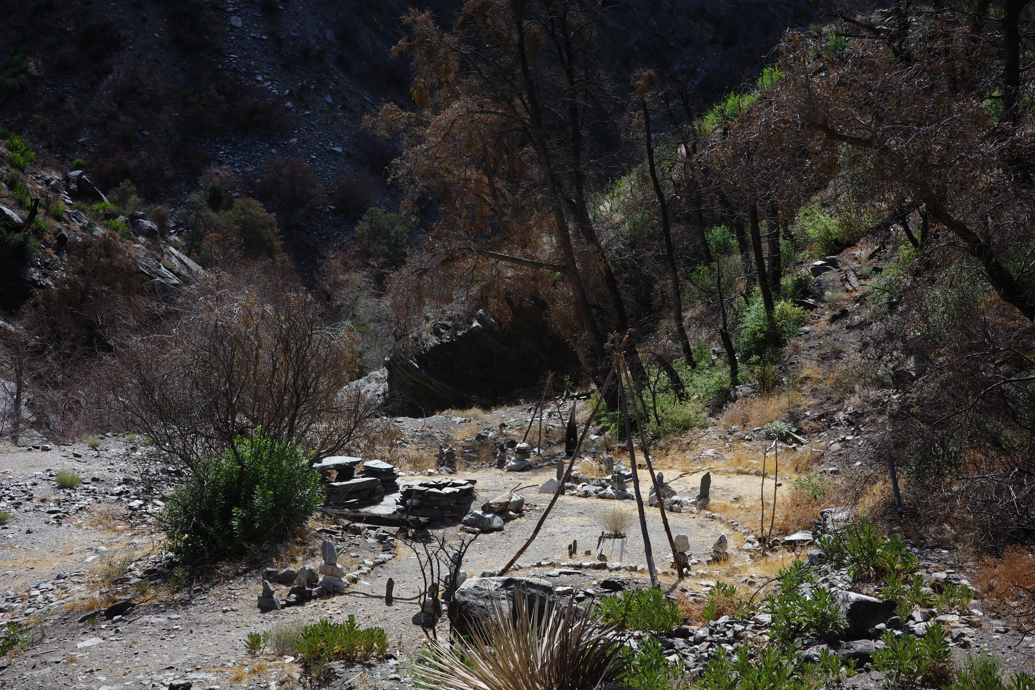
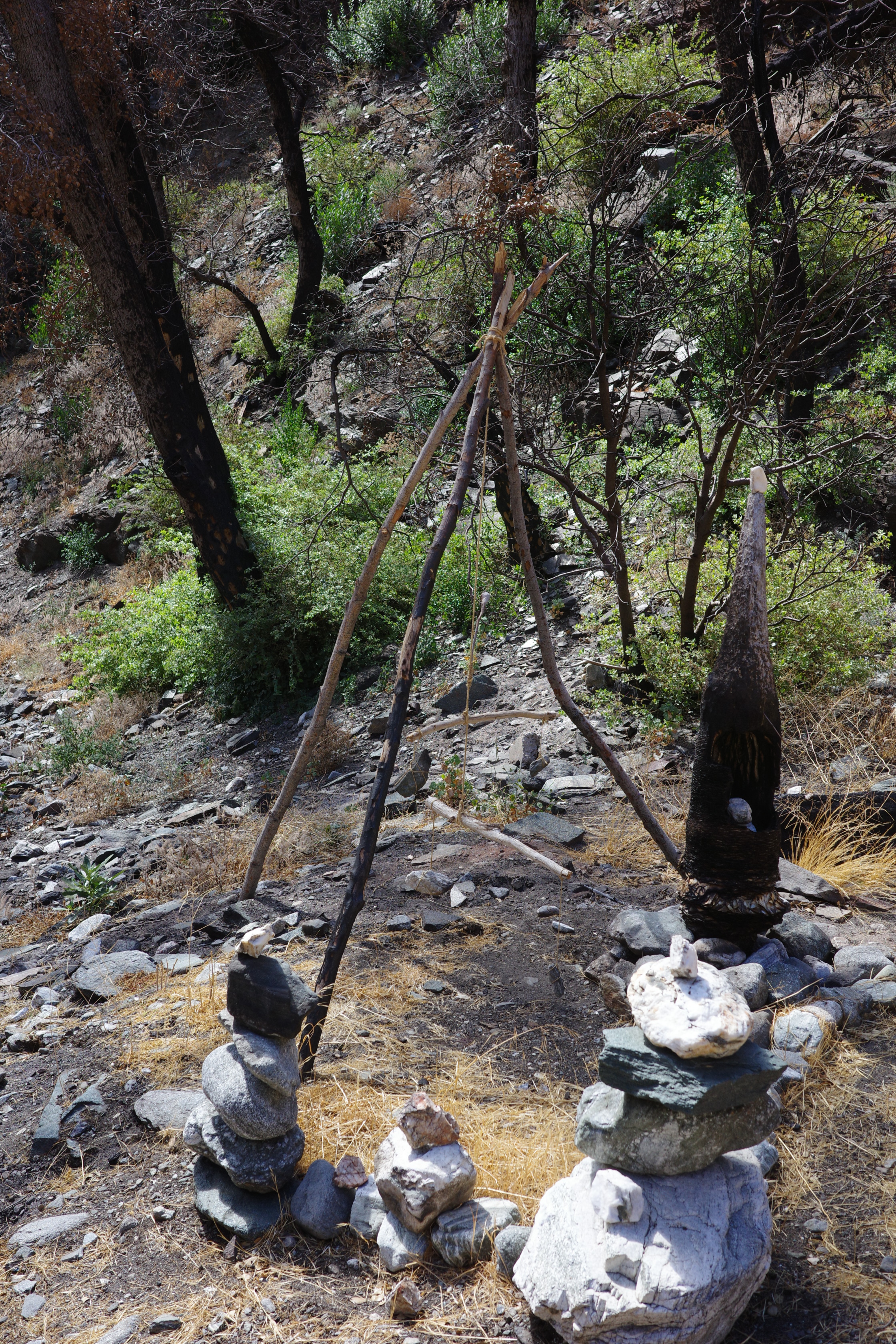
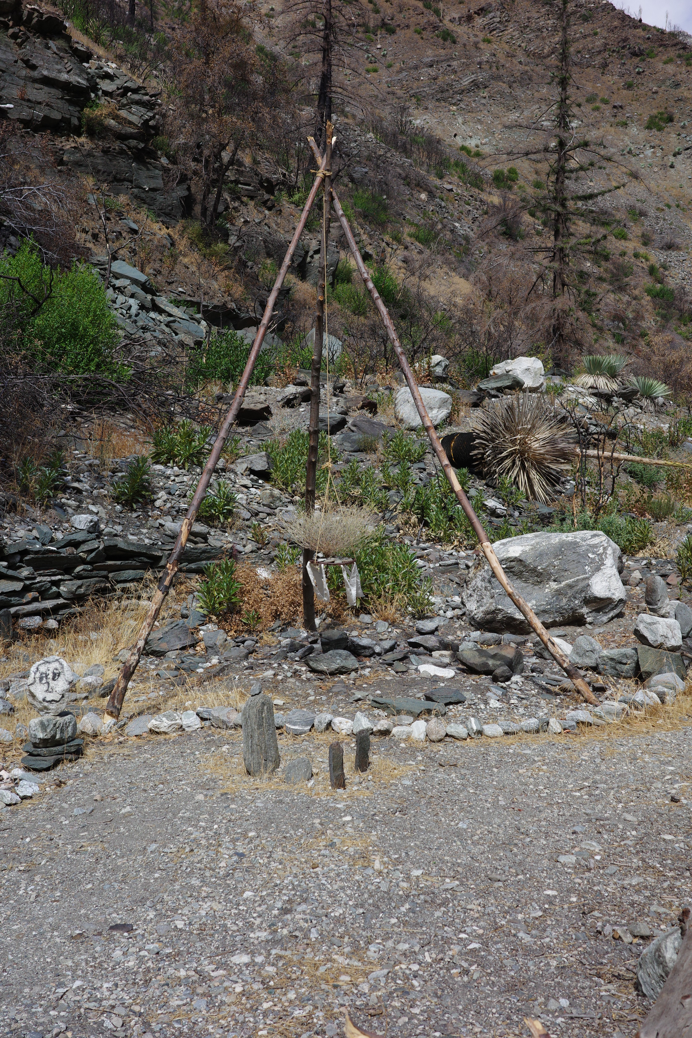
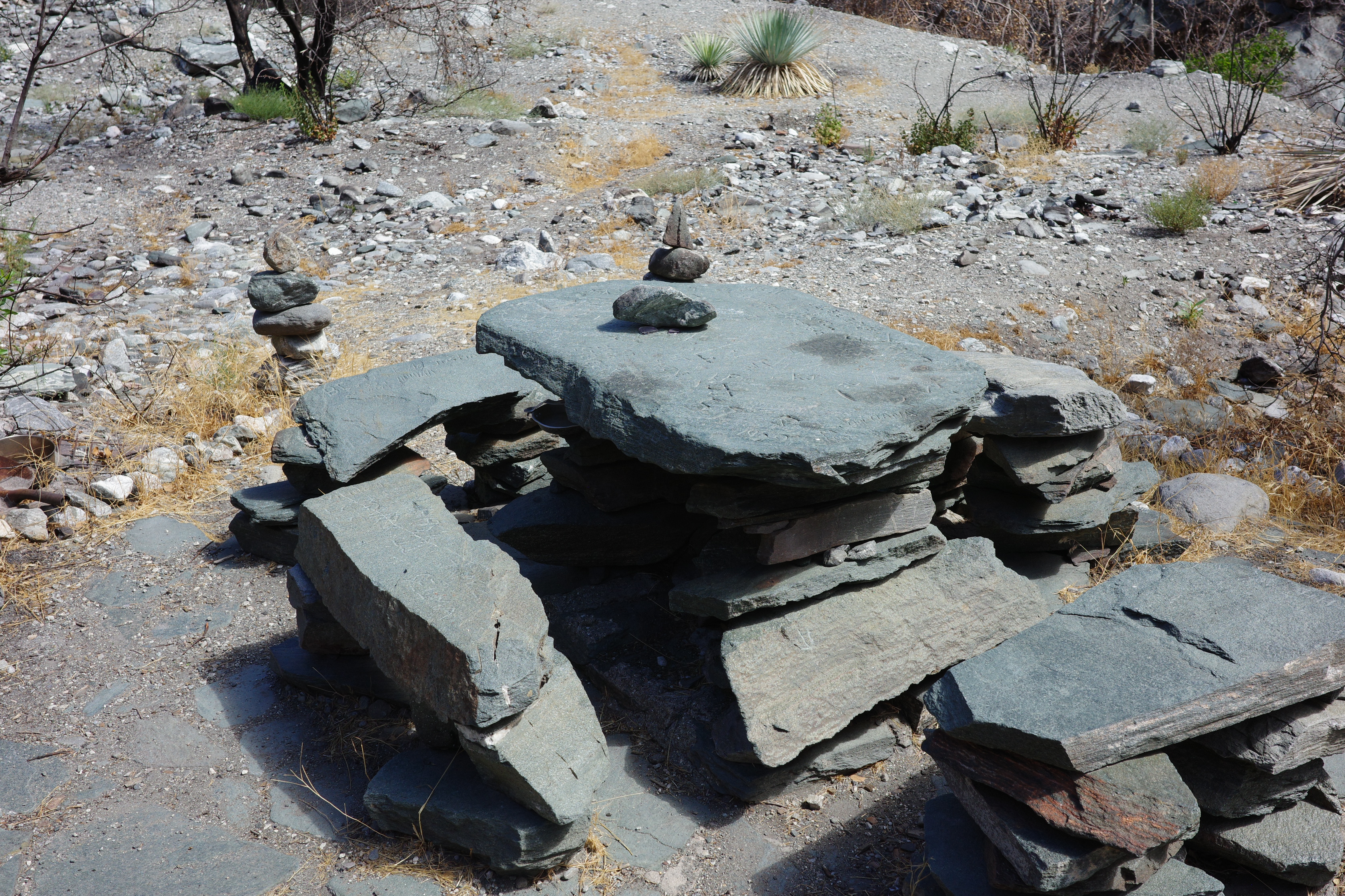
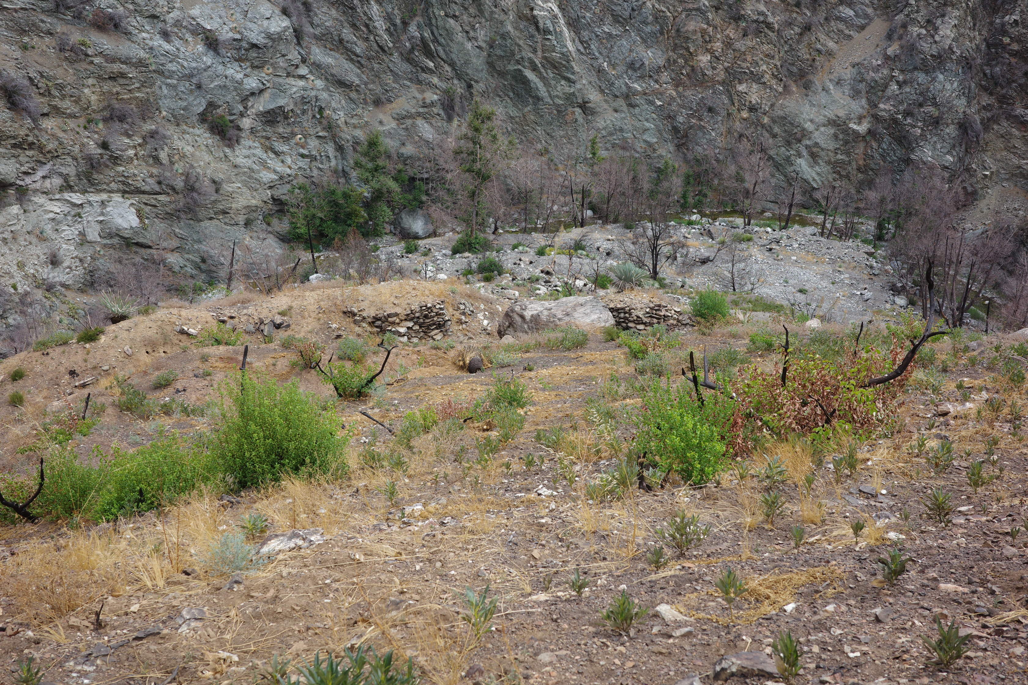
Iron Fork camp has been home to people with too much time on their hands
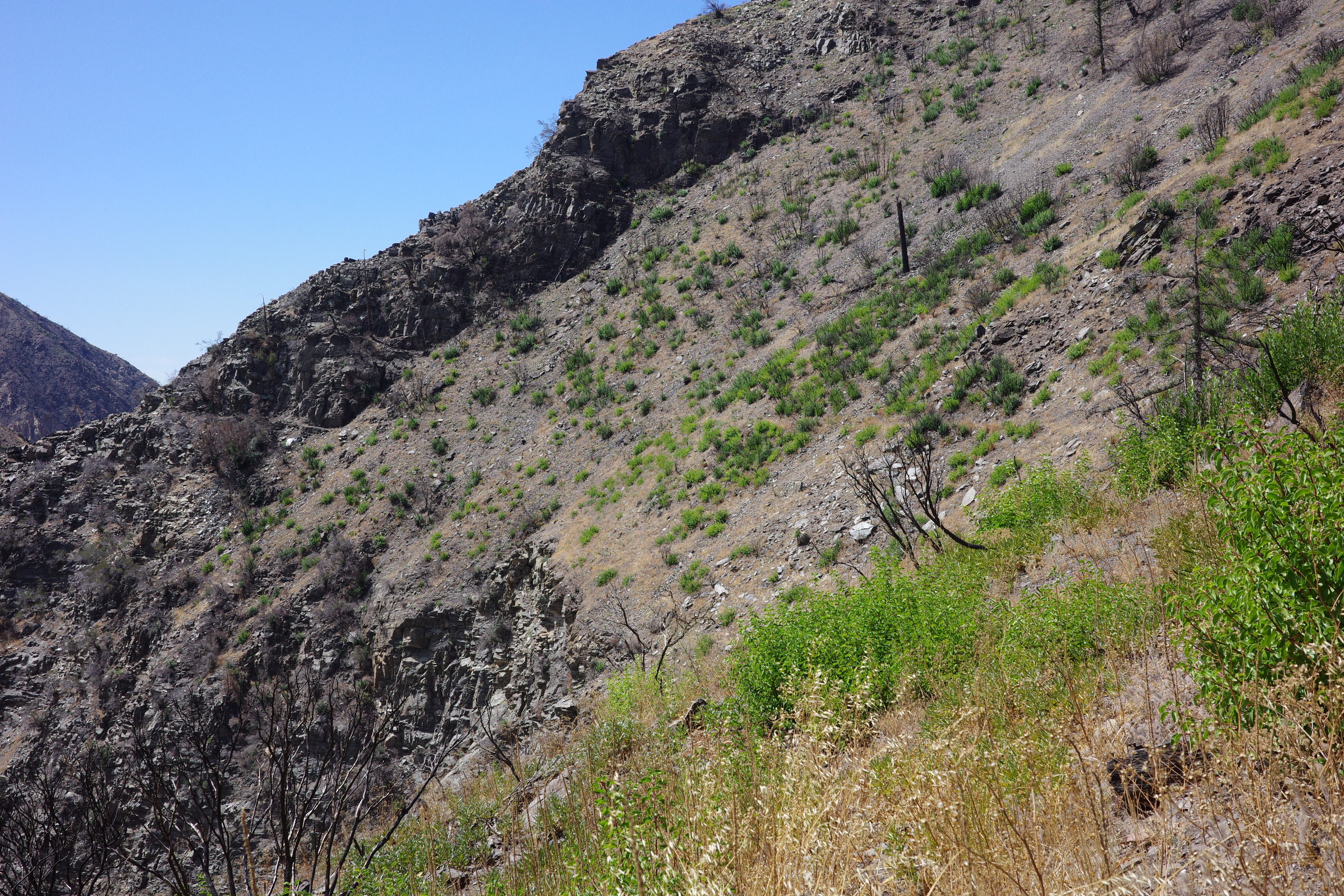
At this point I remembered that the mythical PL&P trail ends here. I found where it comes in: directly behind the main camp area. Here you cross a minor ridge, and can see the East Fork and the slope above it where the trail is supposed to be
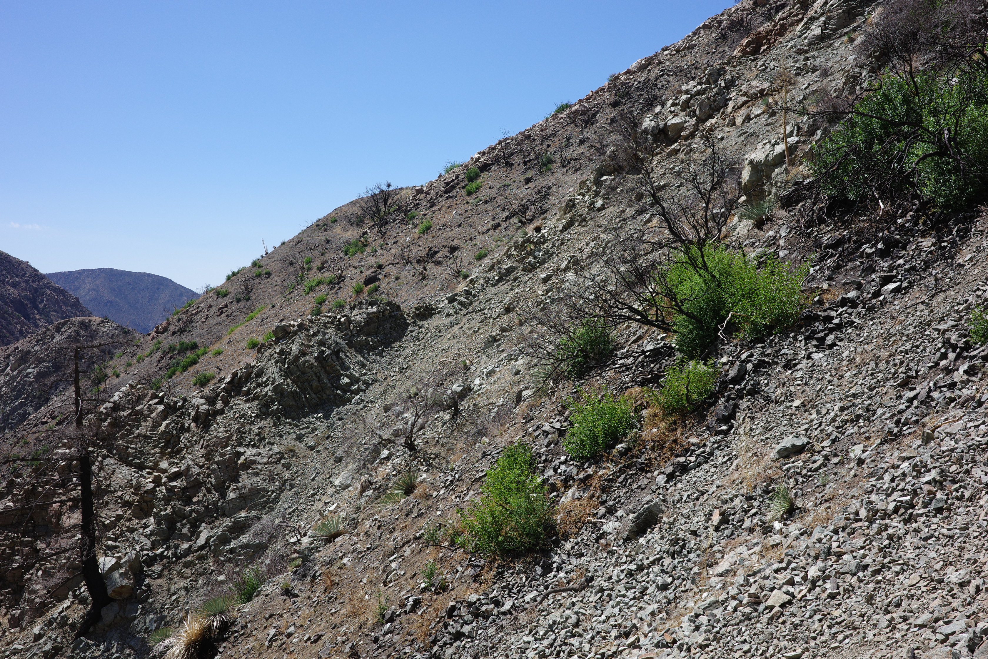
See the trail? Me neither. But I could clearly see the trail immediately where I was: it turned right, and climbed the slope along Iron Fork, in the upstream direction. It was an unideal preparedness situation:
- My boots were done after Shasta, so I was wearing trail running shoes from Big5
- I was wearing shorts
- I had one 750ml water bottle
- Nobody knew I'd be doing this
- I didn't bring the beacon
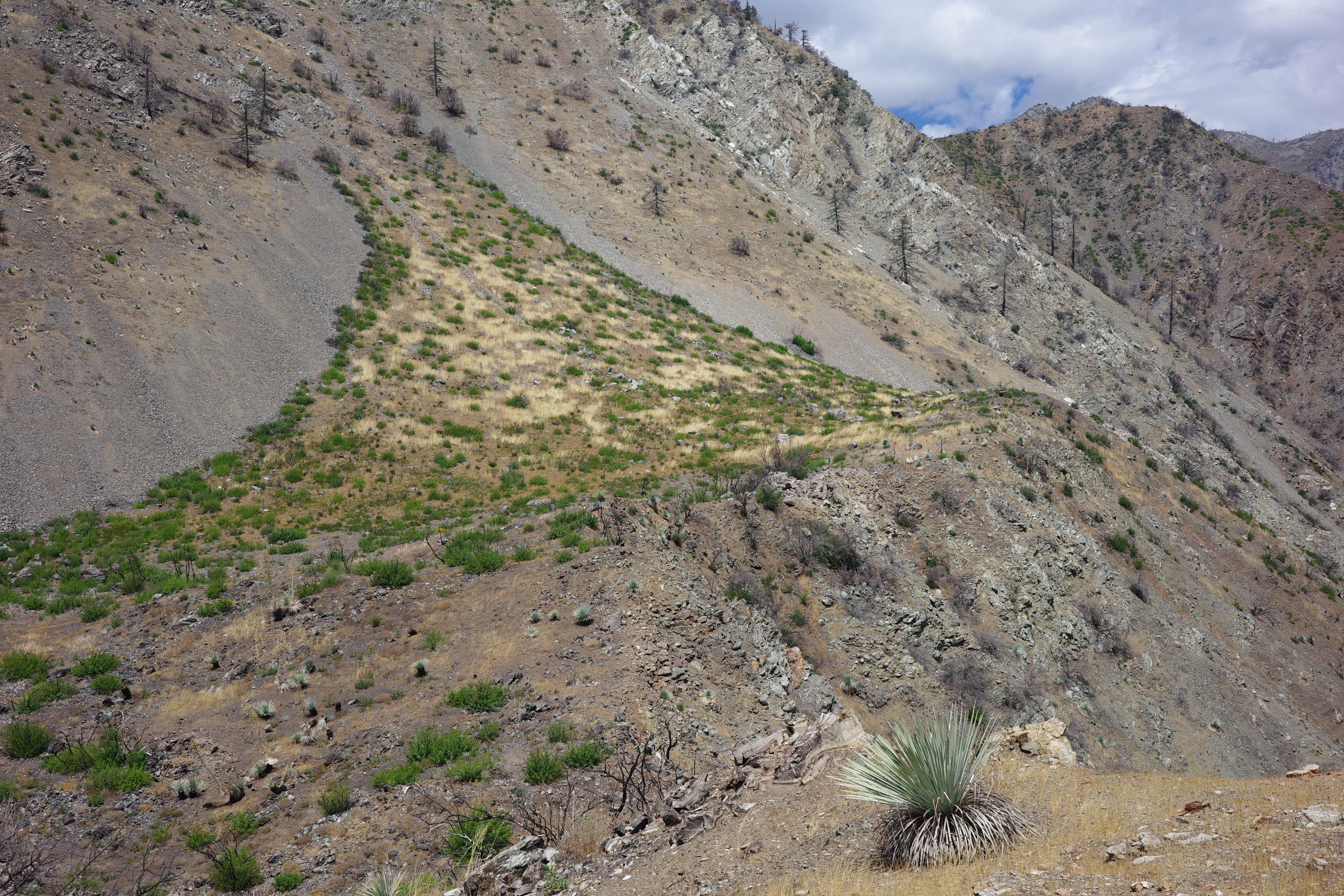
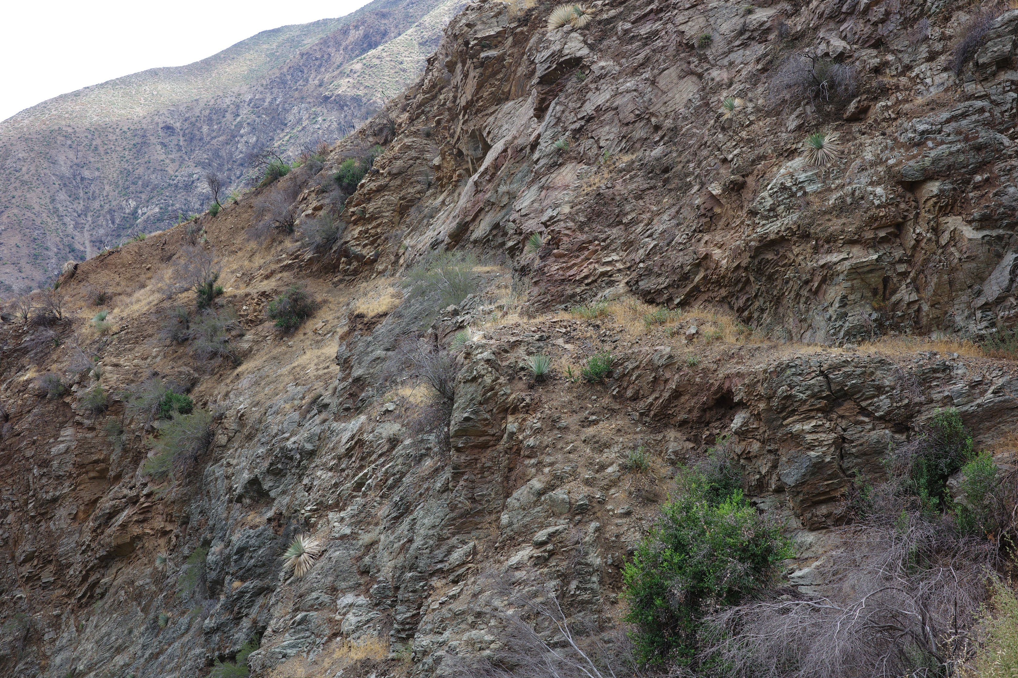
It switches back up the slope to clear the cliff at the bottom of the East Fork. Once that is done, it starts to traverse South
Looks... mostly fine? The rocky rib is fine too. Even the rock wall supporting the trailbed is still there
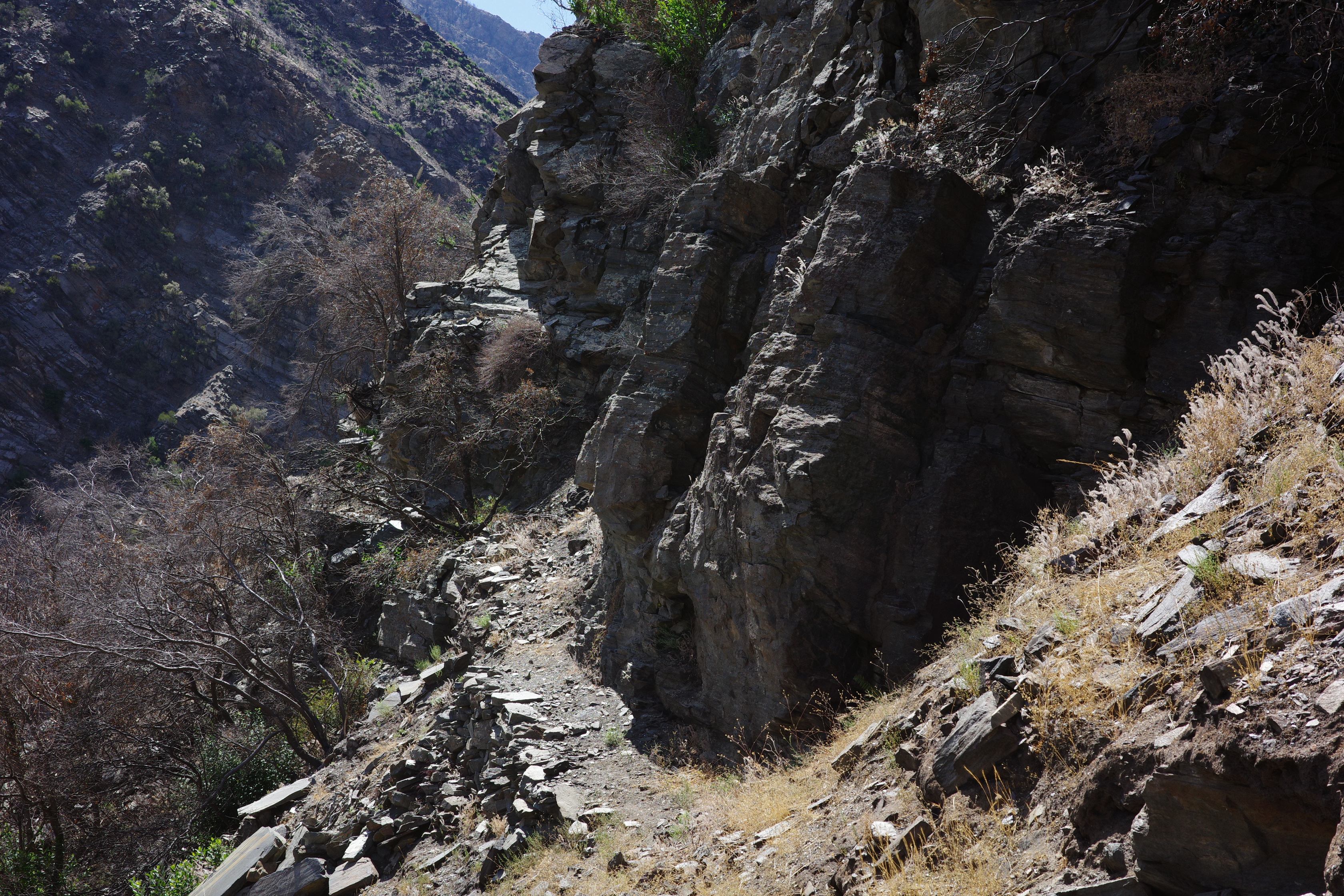
Past the rib:
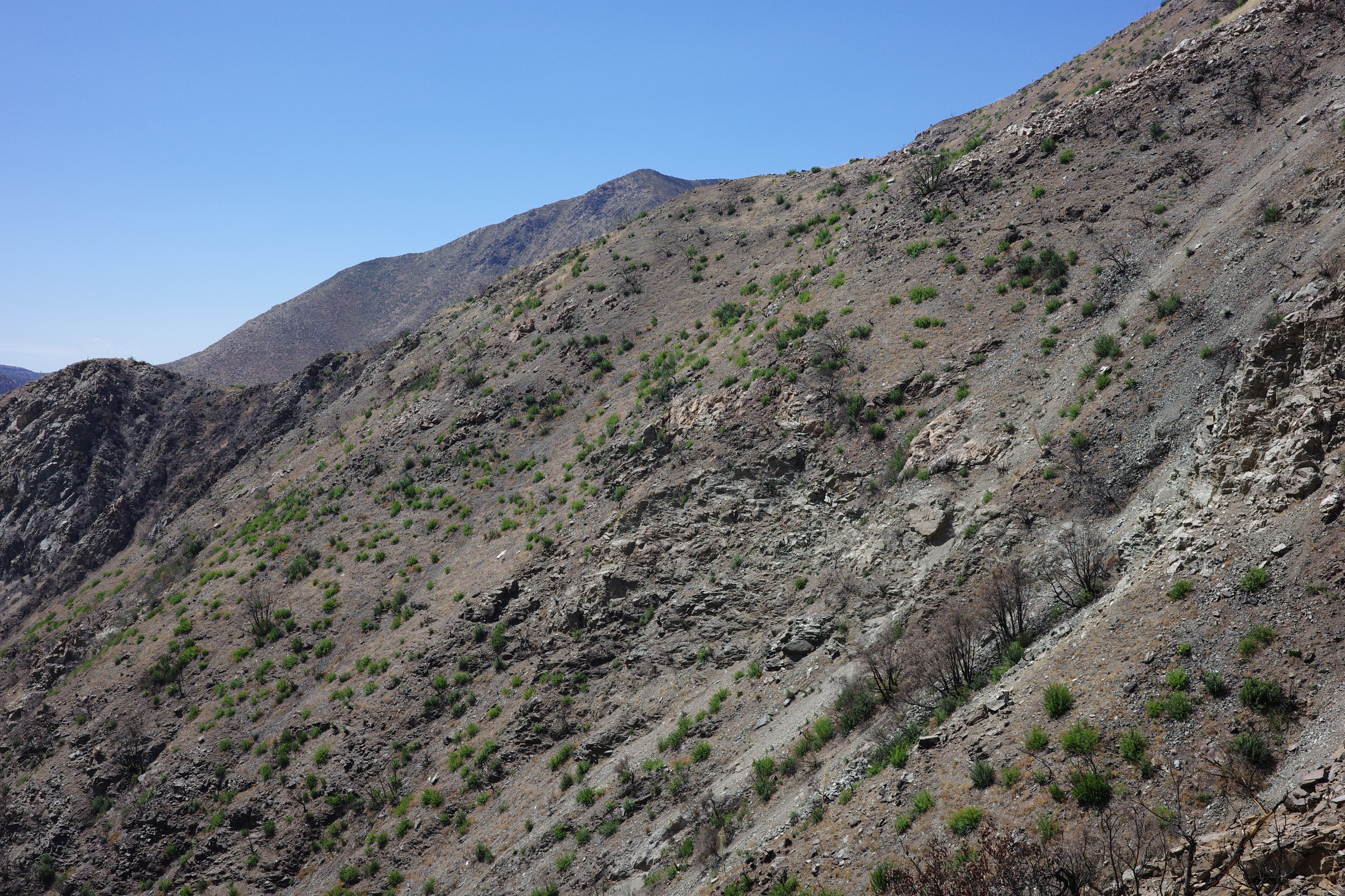
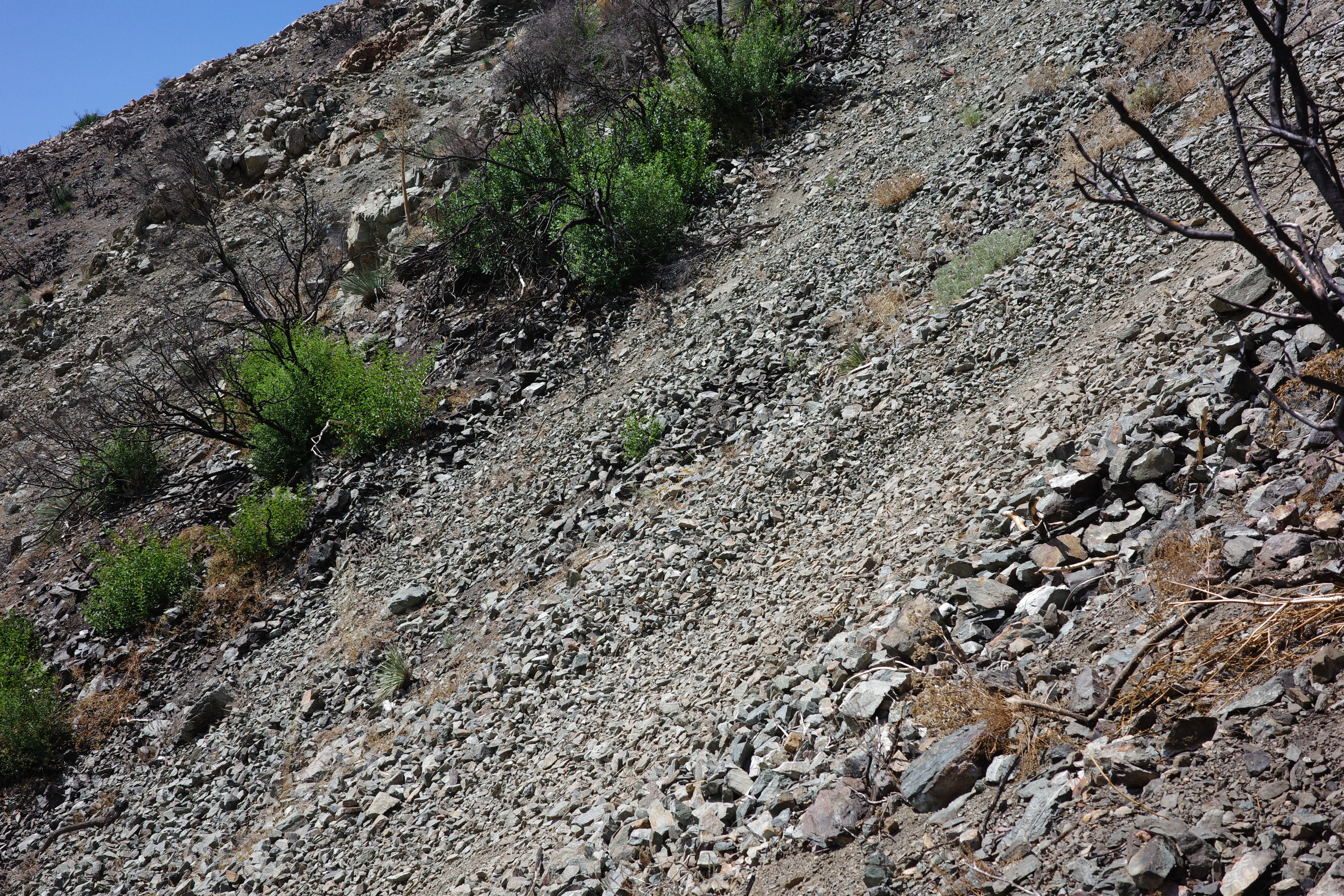
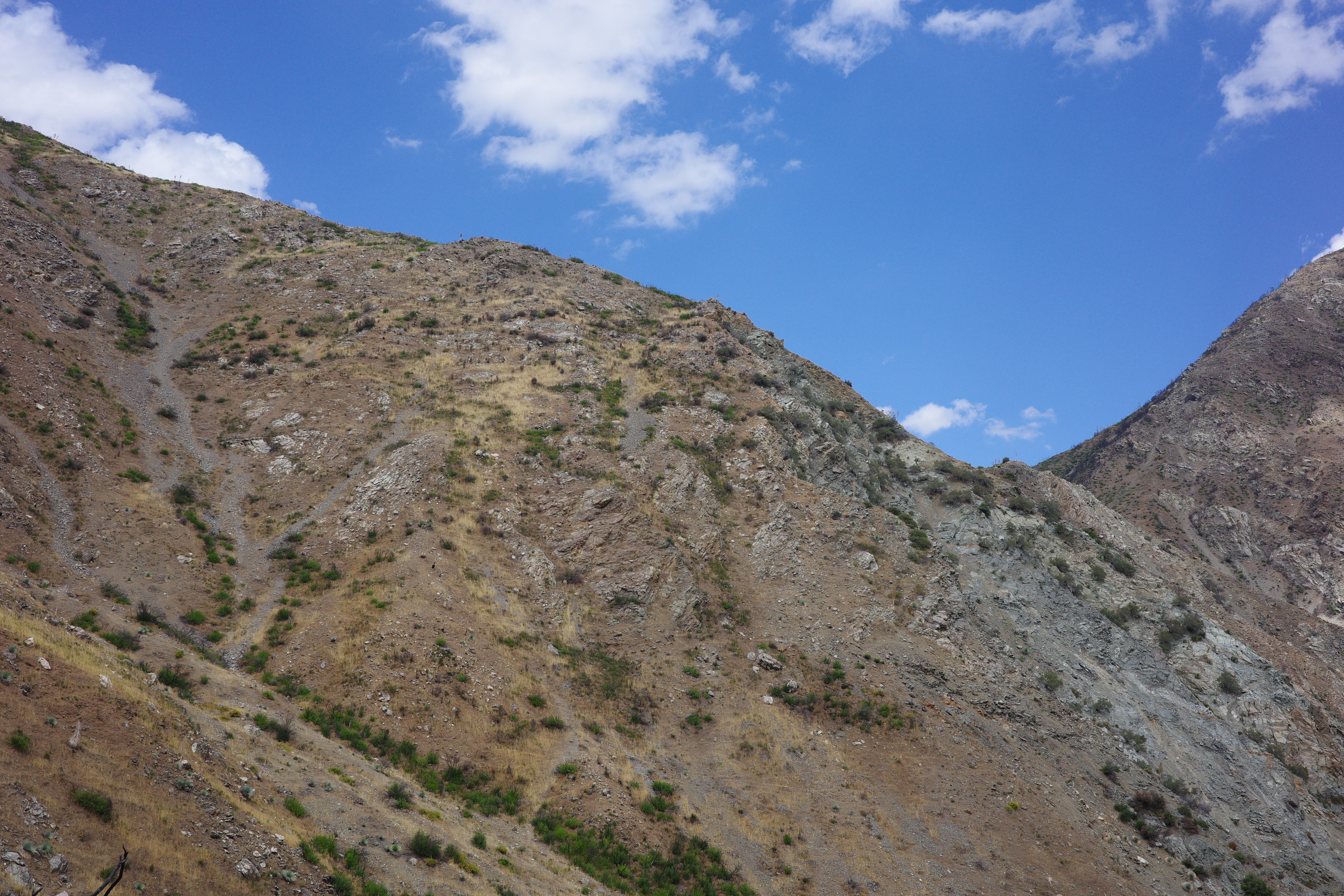
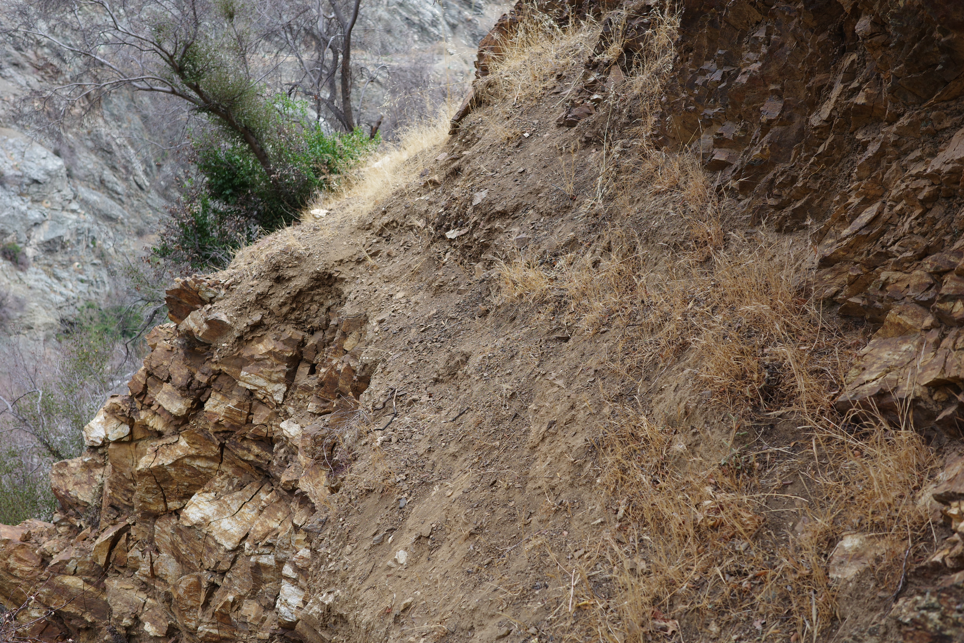
I don't love it, but the section I'm on right now looks fine. So... onwards!
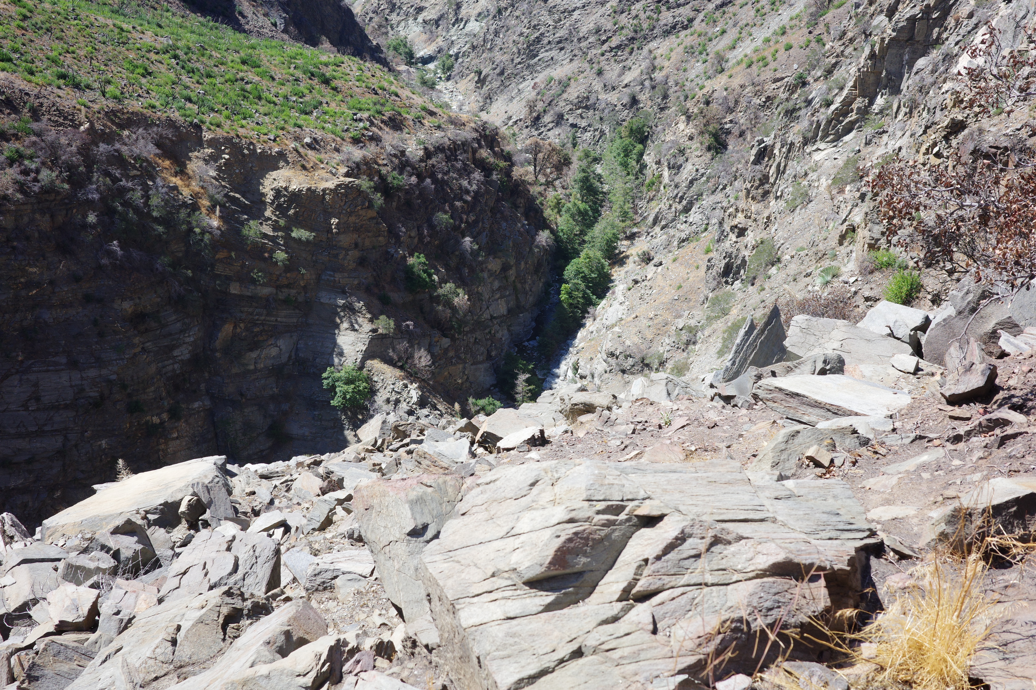
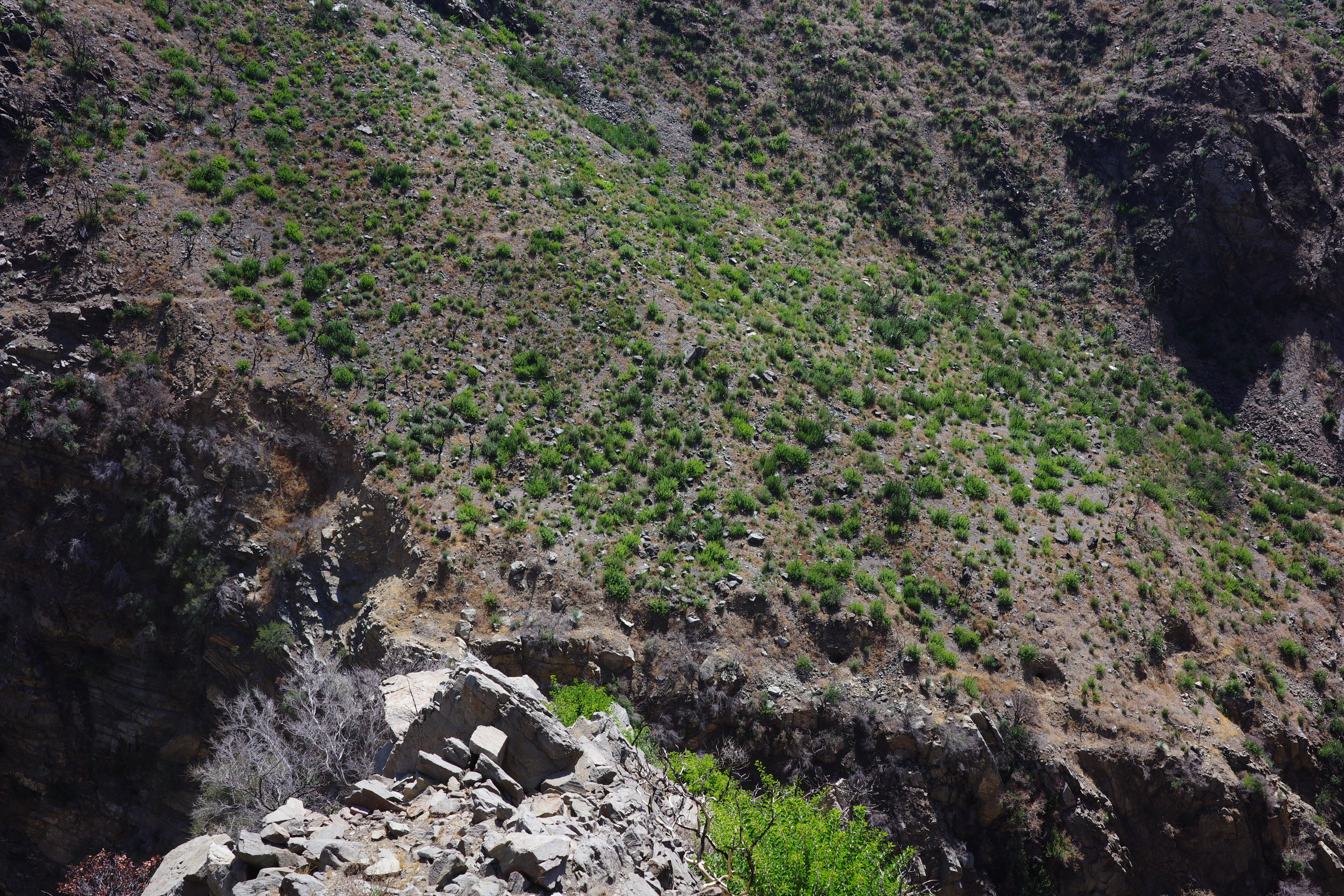
There's a good view down into the river in many spots
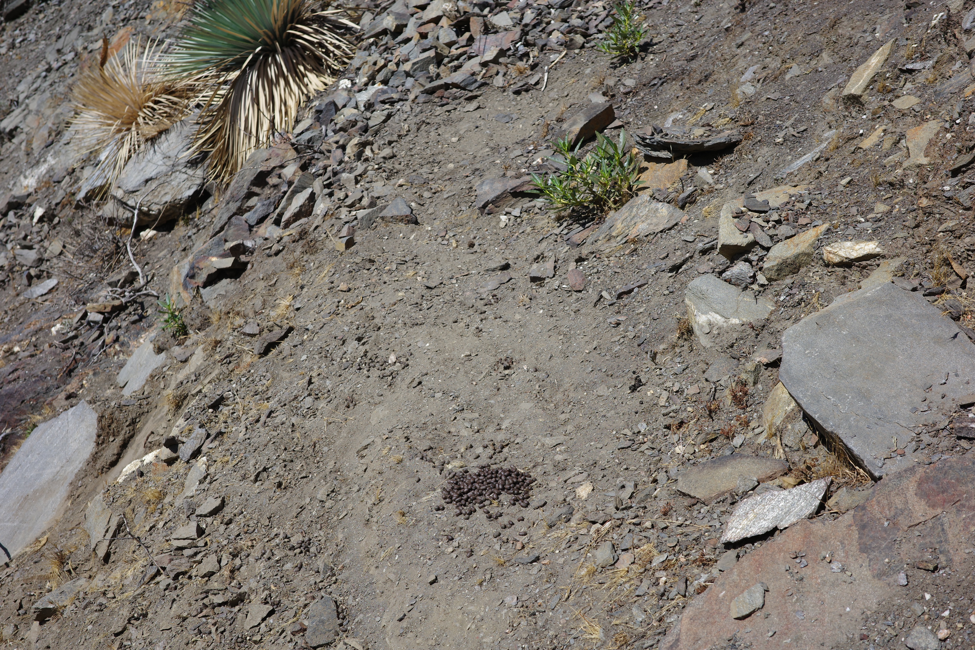
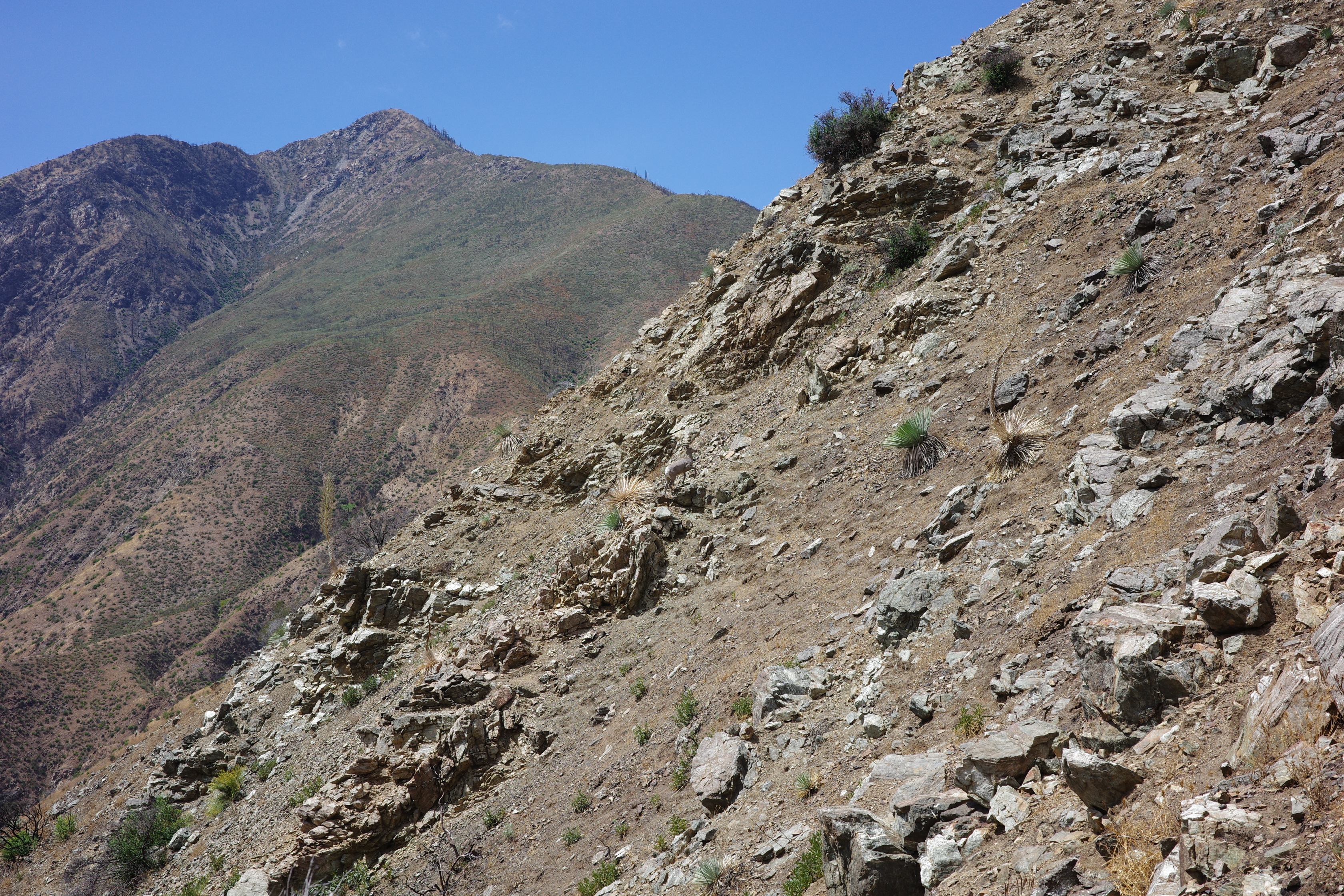
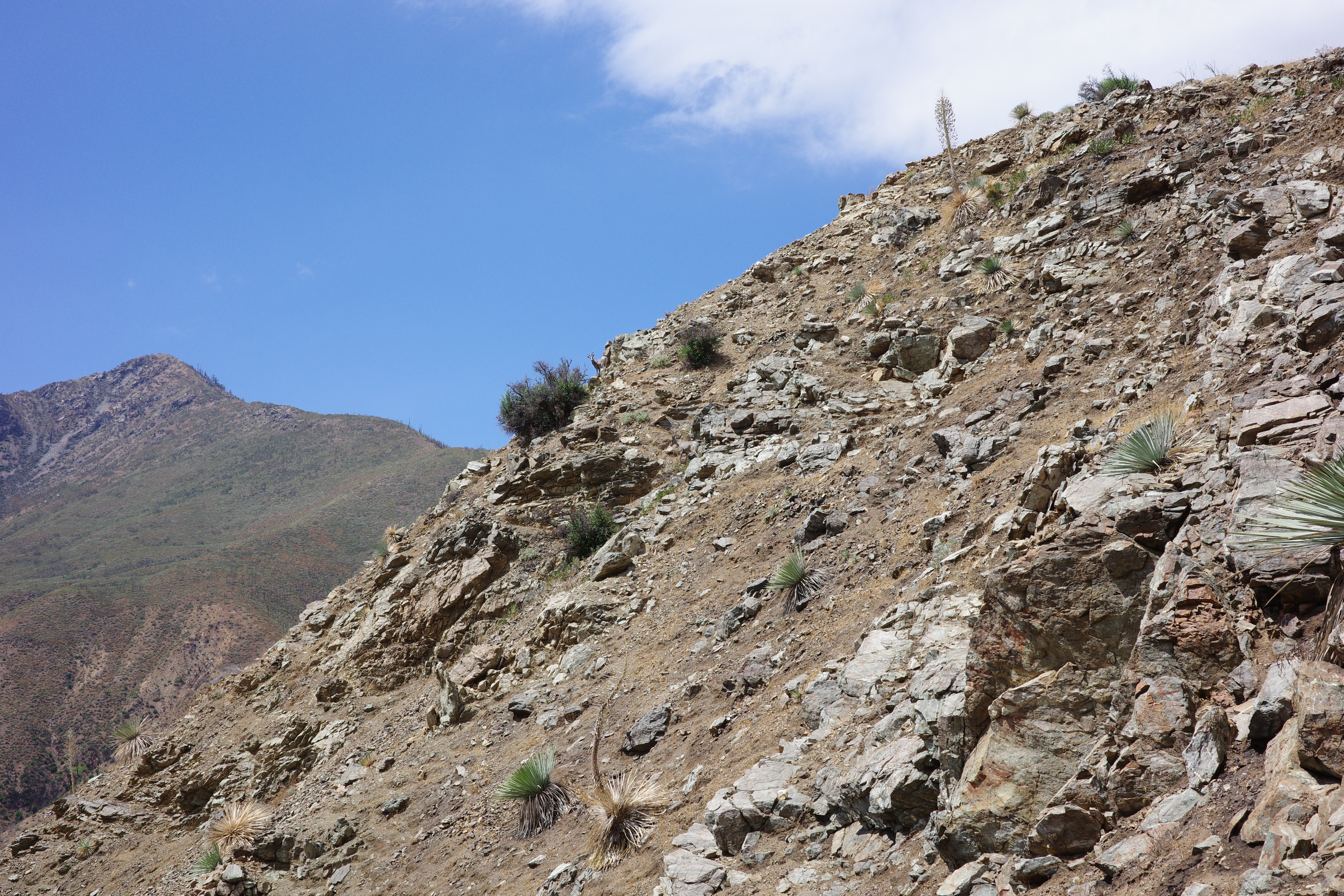
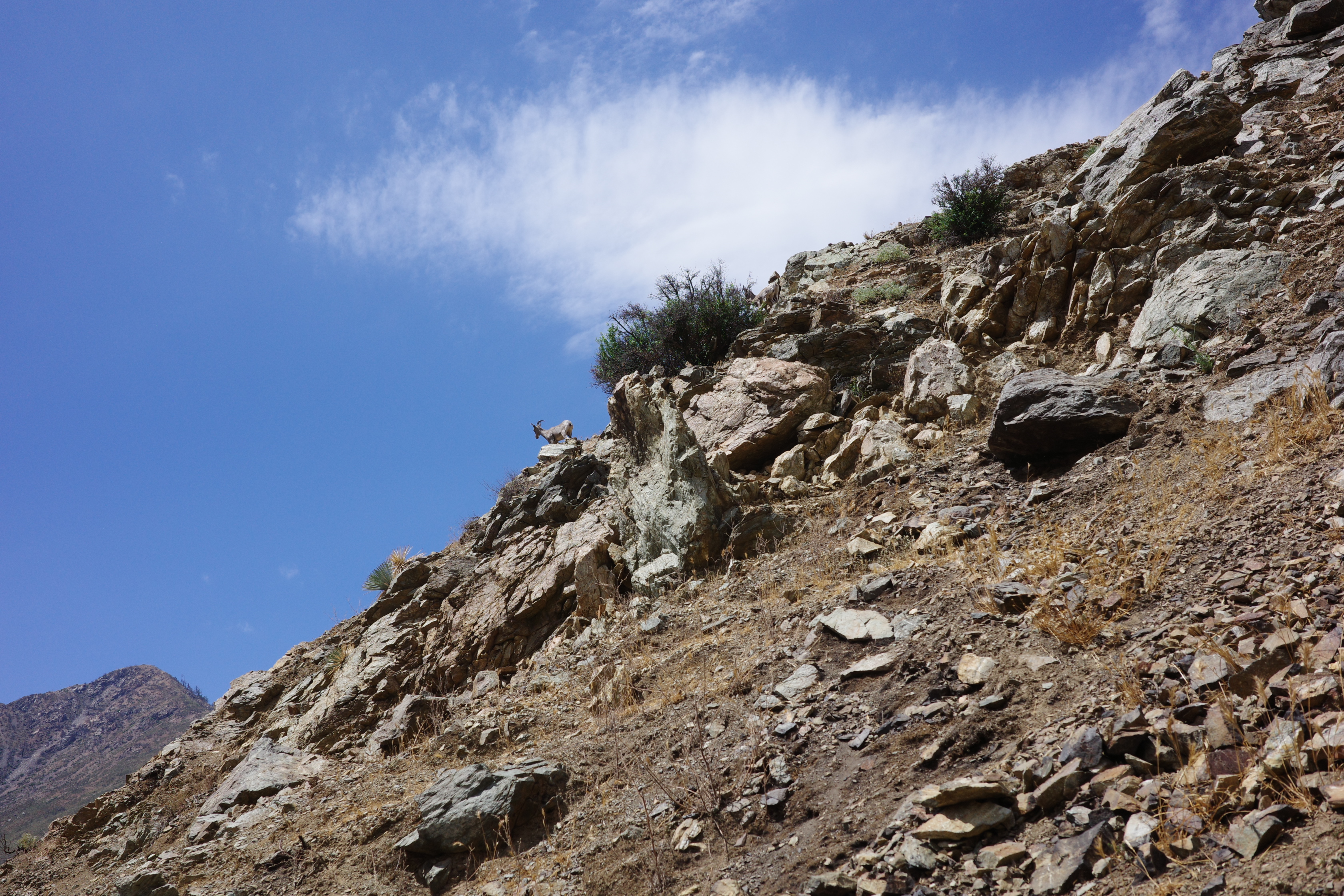
And I'm clearly in sheep territory
Getting closer
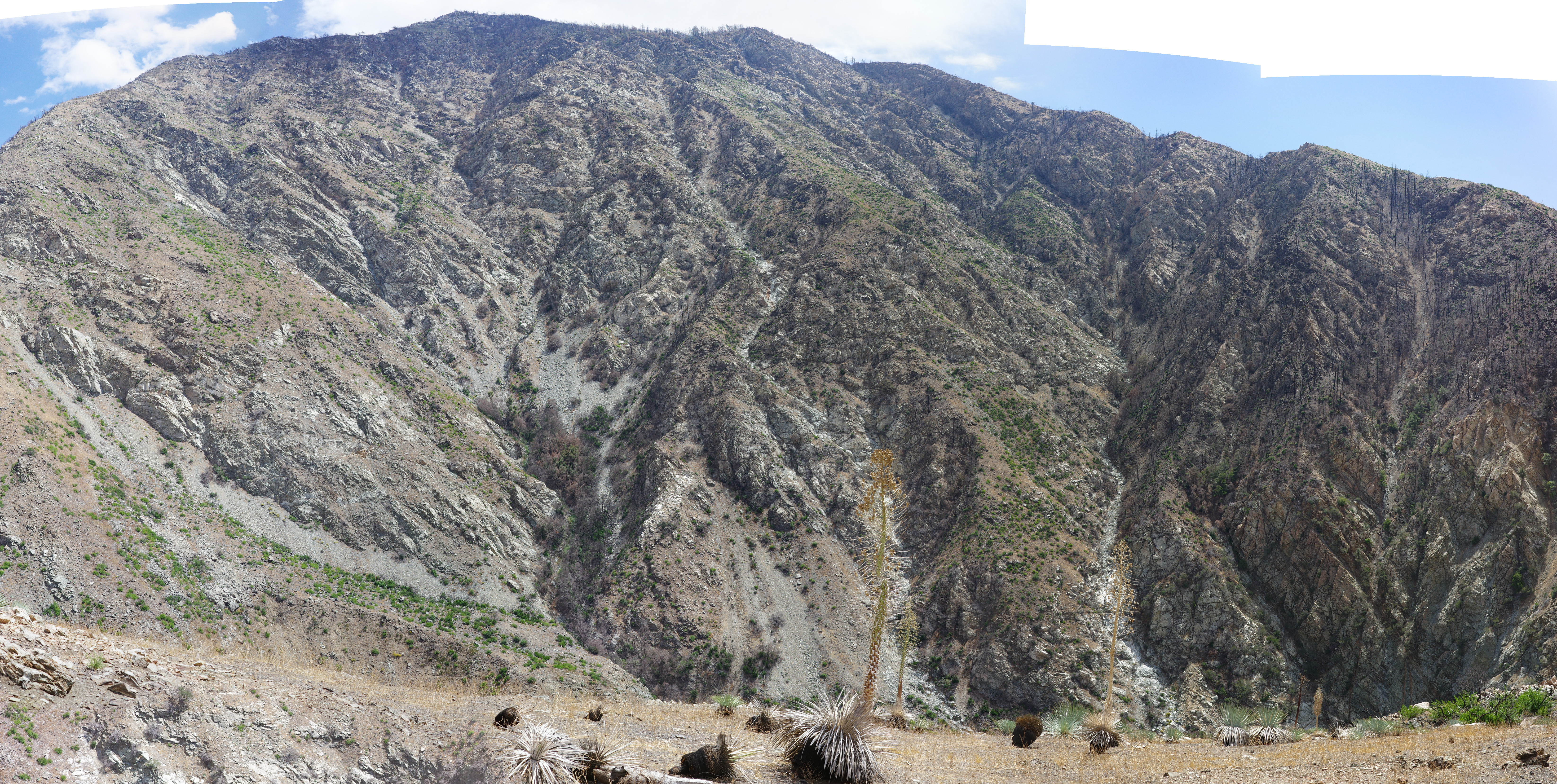
This trail gives you an excellent vantage point of other long-abandoned stuff. Here's the lower trail on the other side of the river (the wetwater trail?) and its junction with the Highline trail connecting the Allison and Stanley-Miller mines:
Directly below that is another trail that sits on the edge of the cliff. It has a bunch of clearly-visible mines:
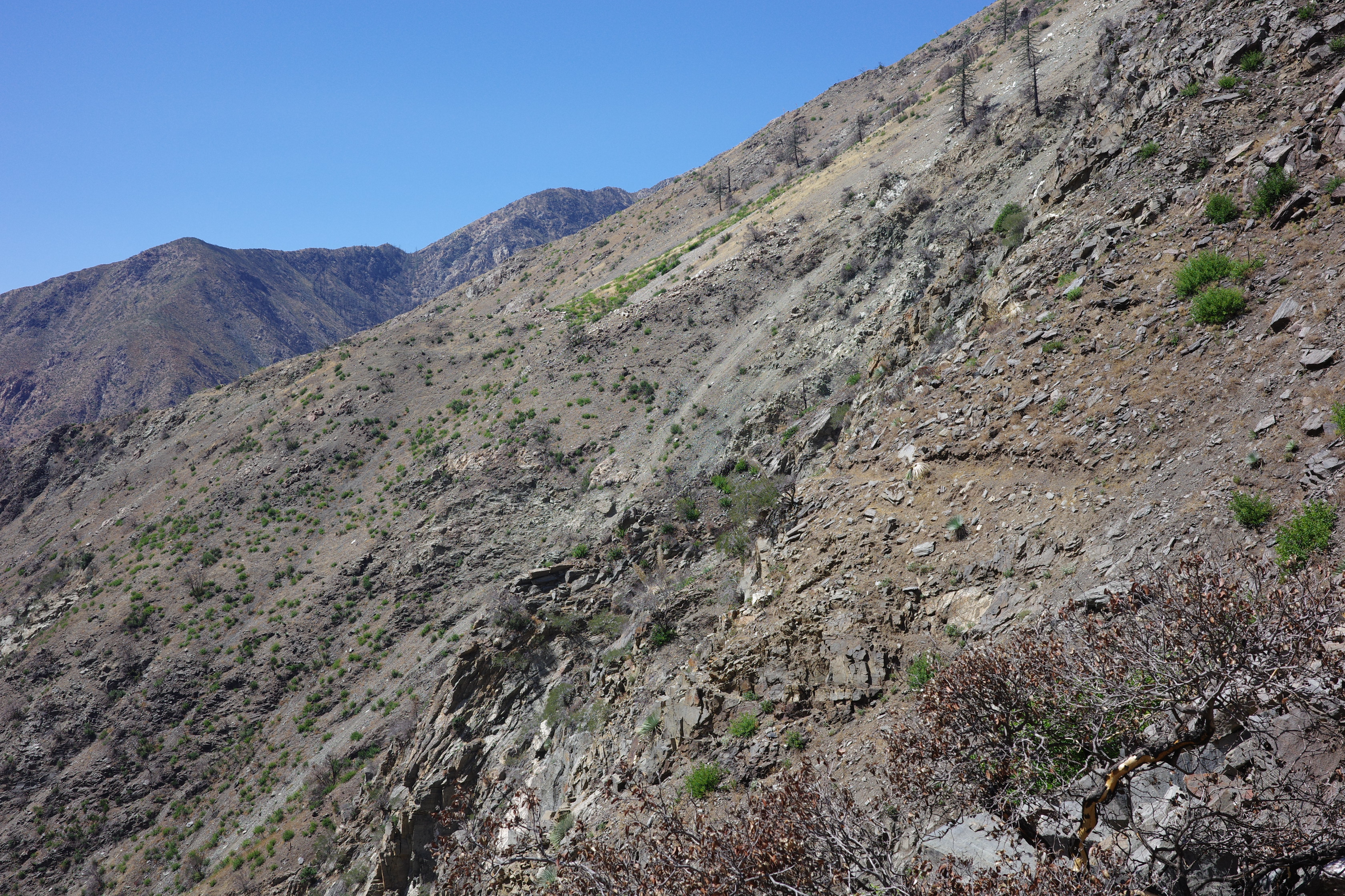
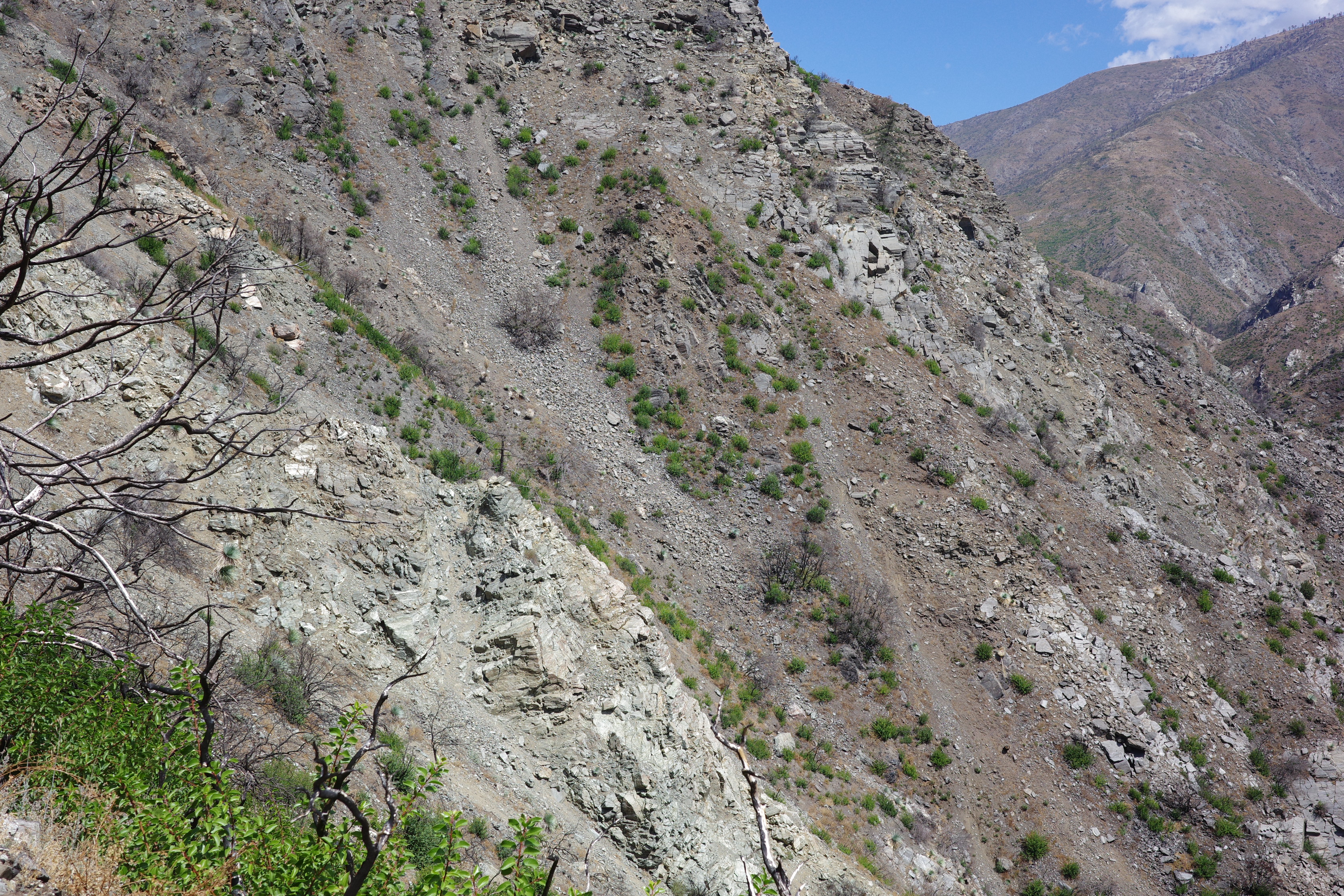
Soon point 3414 (next to Airplane Flat) came into view.
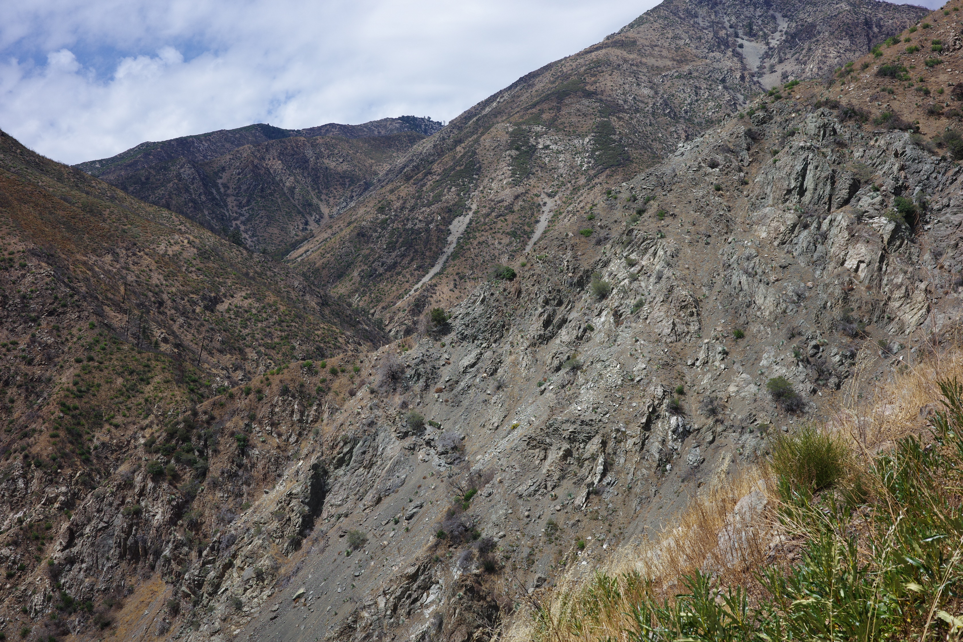
I've almost been there before, stopped by thick brush. Not a problem anymore. If I can get there, I can probably complete the whole traverse. It doesn't look great
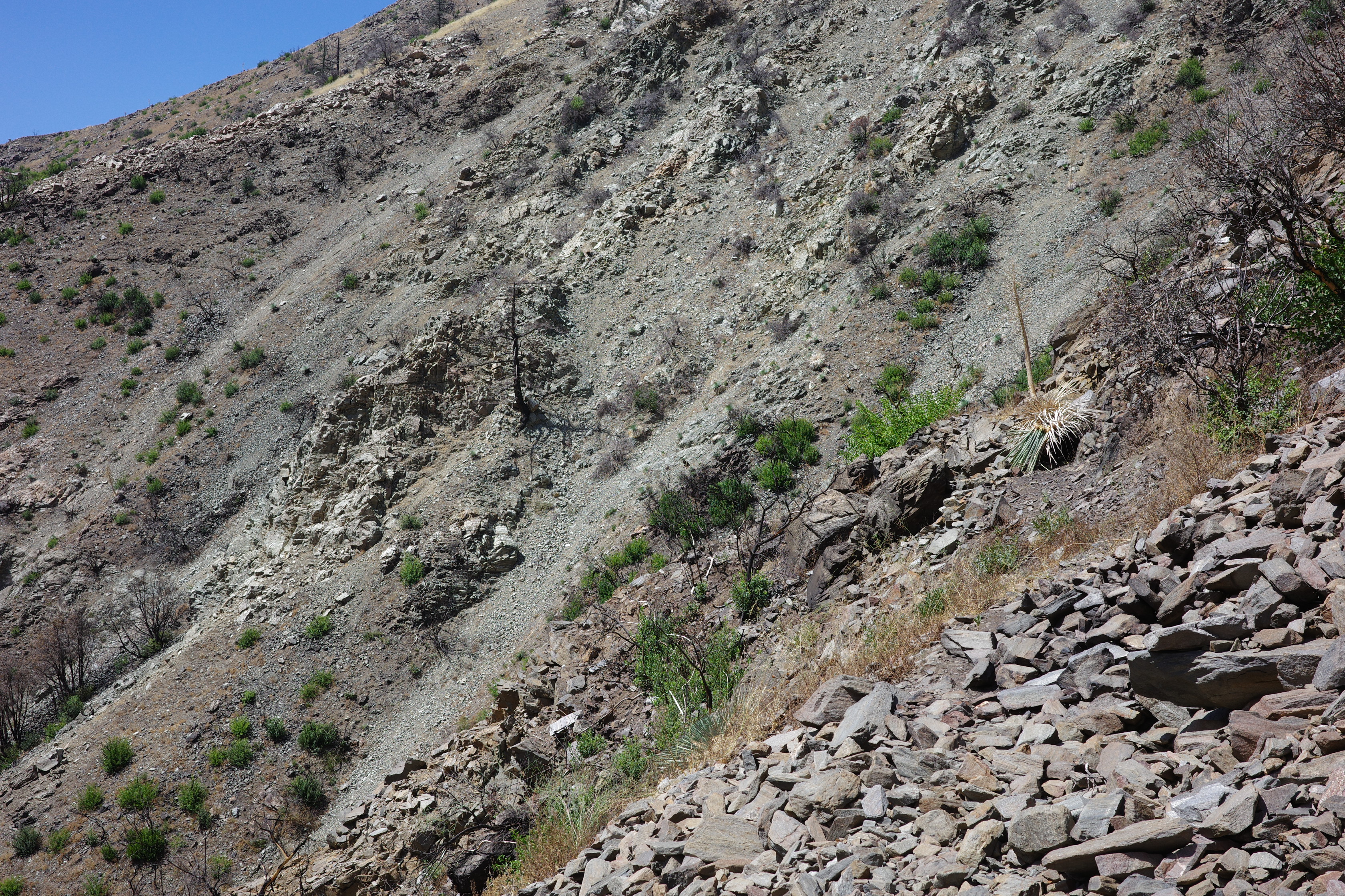
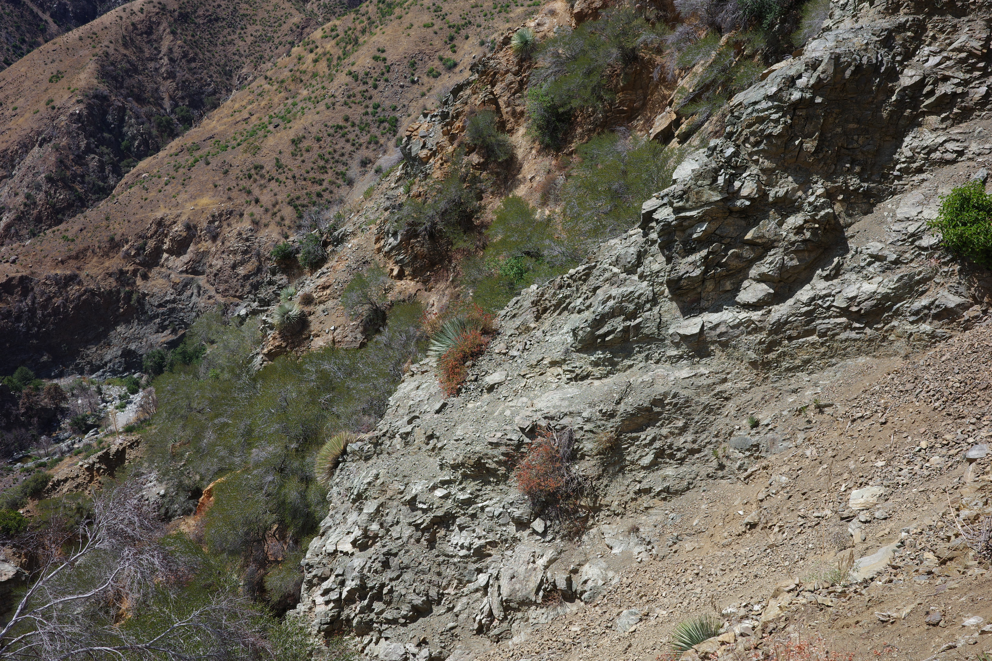
But it's all passable. The trail is covered by scree in many places, but these aren't cliffs, and can be safely traversed with some care. In some spots yucca sit directly on the trail, eventually I'd see some of the yucca tips cut:
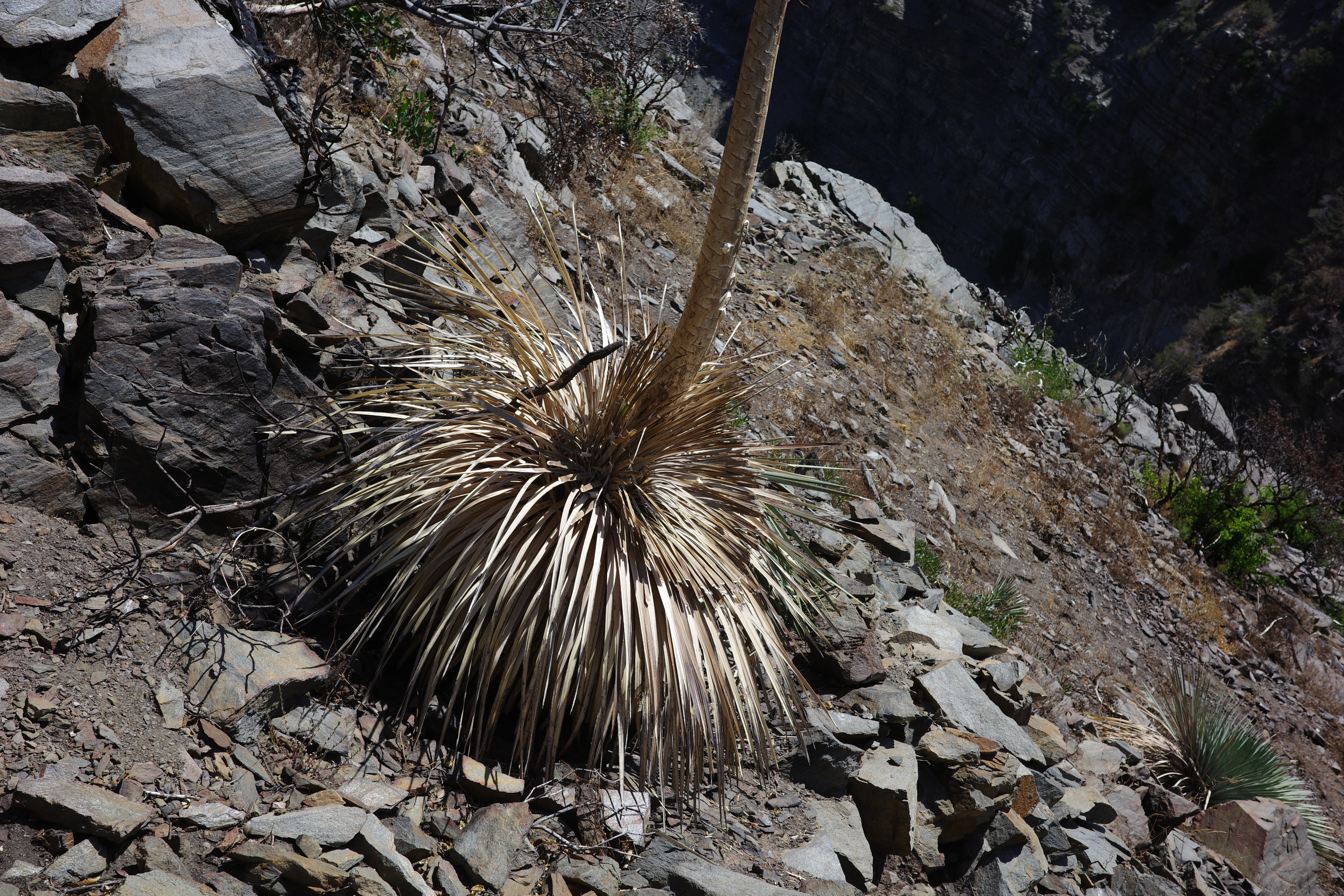
This one has some old cuts on the outside and some newer cuts on the inside. So at some point some humans have been here. Can't tell how recent; it's not a popular place.
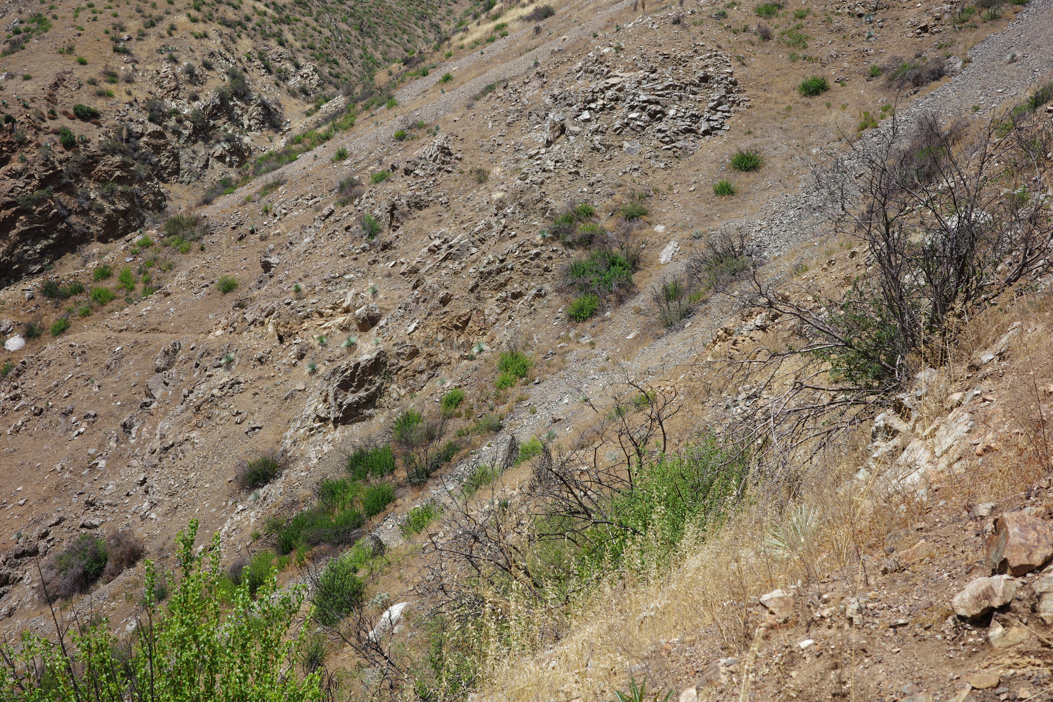
More scree, but airplane flat is getting closer
Where I came from
And the next section of the trails on the other side of the river:
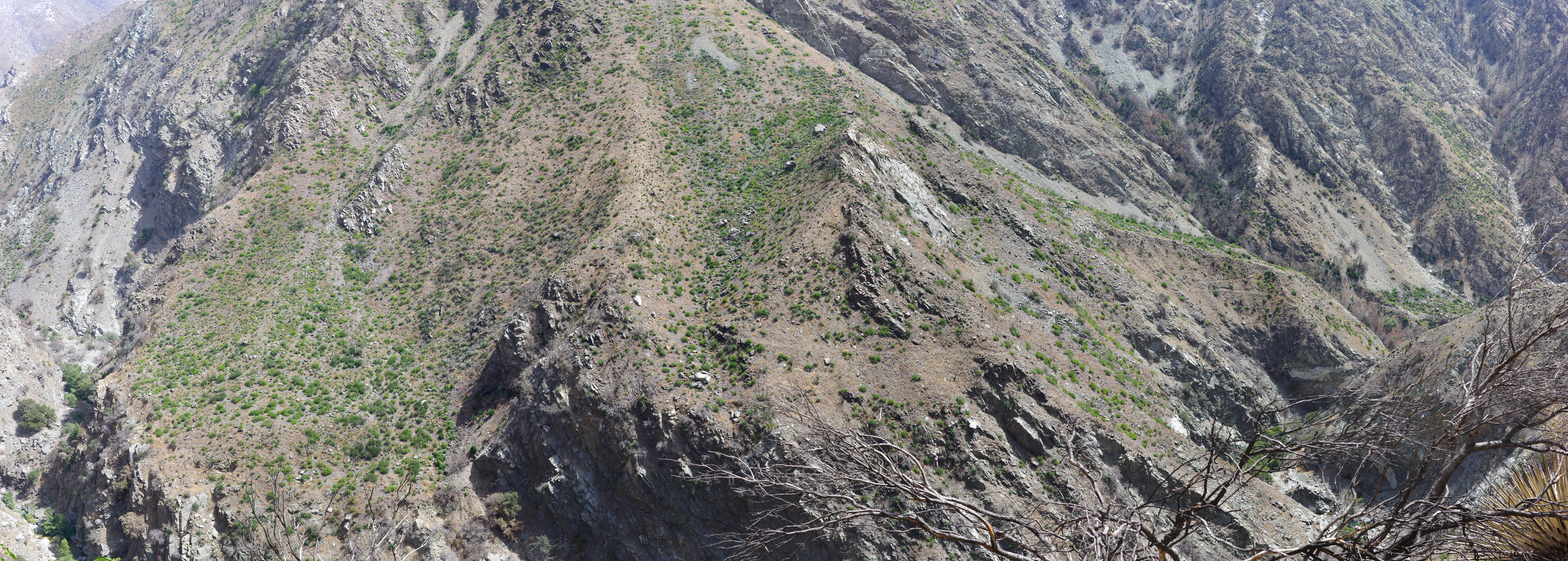
Eventually the slope above runs out, and you cross into airplane flat!
I walked to point 3414, which is something I couldn't do the last time. Somebody please bring a register here. Views to the other side:
The trees on Iron Mt got decimated.
Airplane flat is big and relatively flat, and I got distracted by the peak and the views, so I lots the trail here. Some humans visited recently to put up a sign
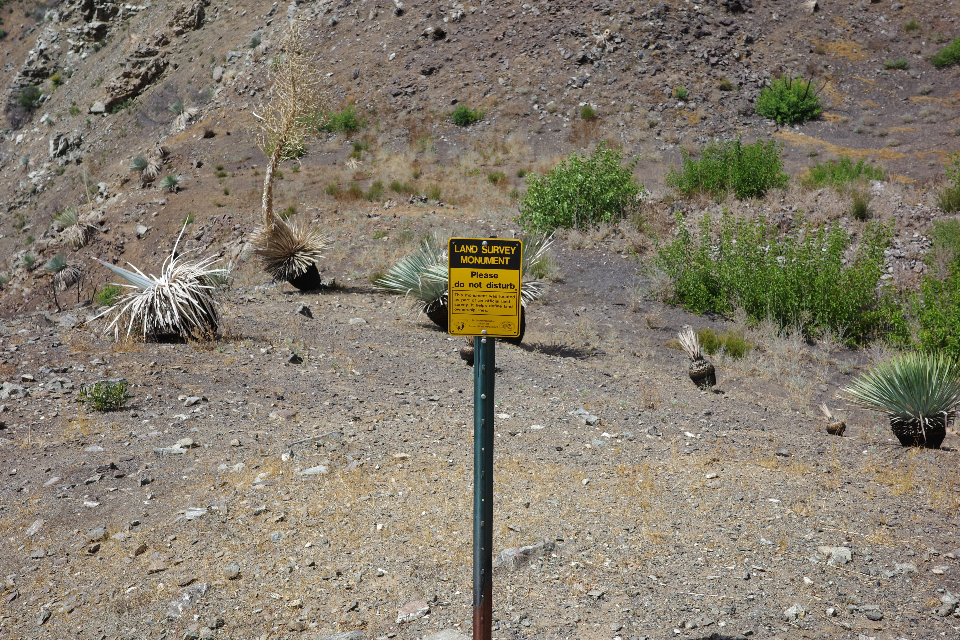
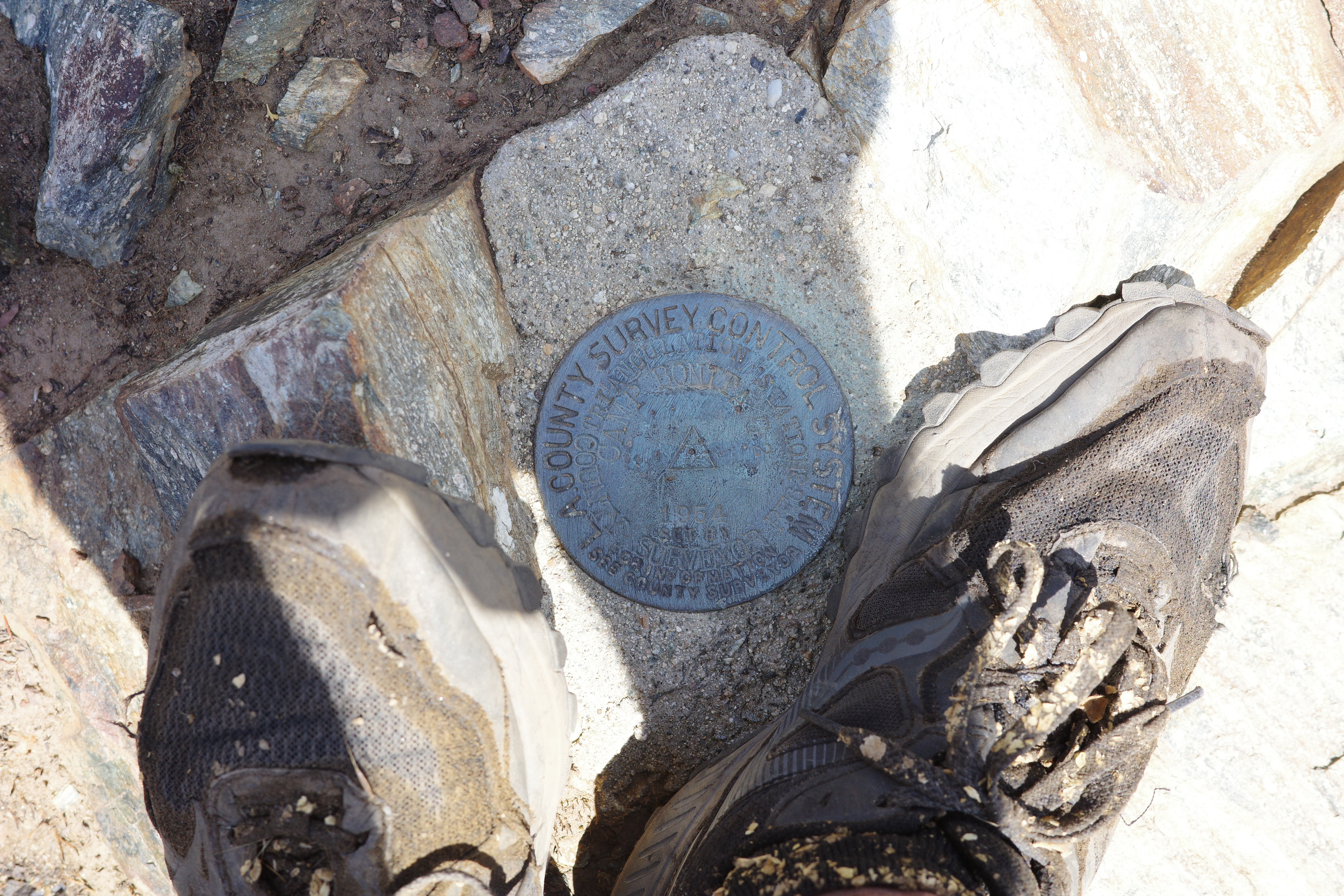
Which isn't next to the survey marker that's still there
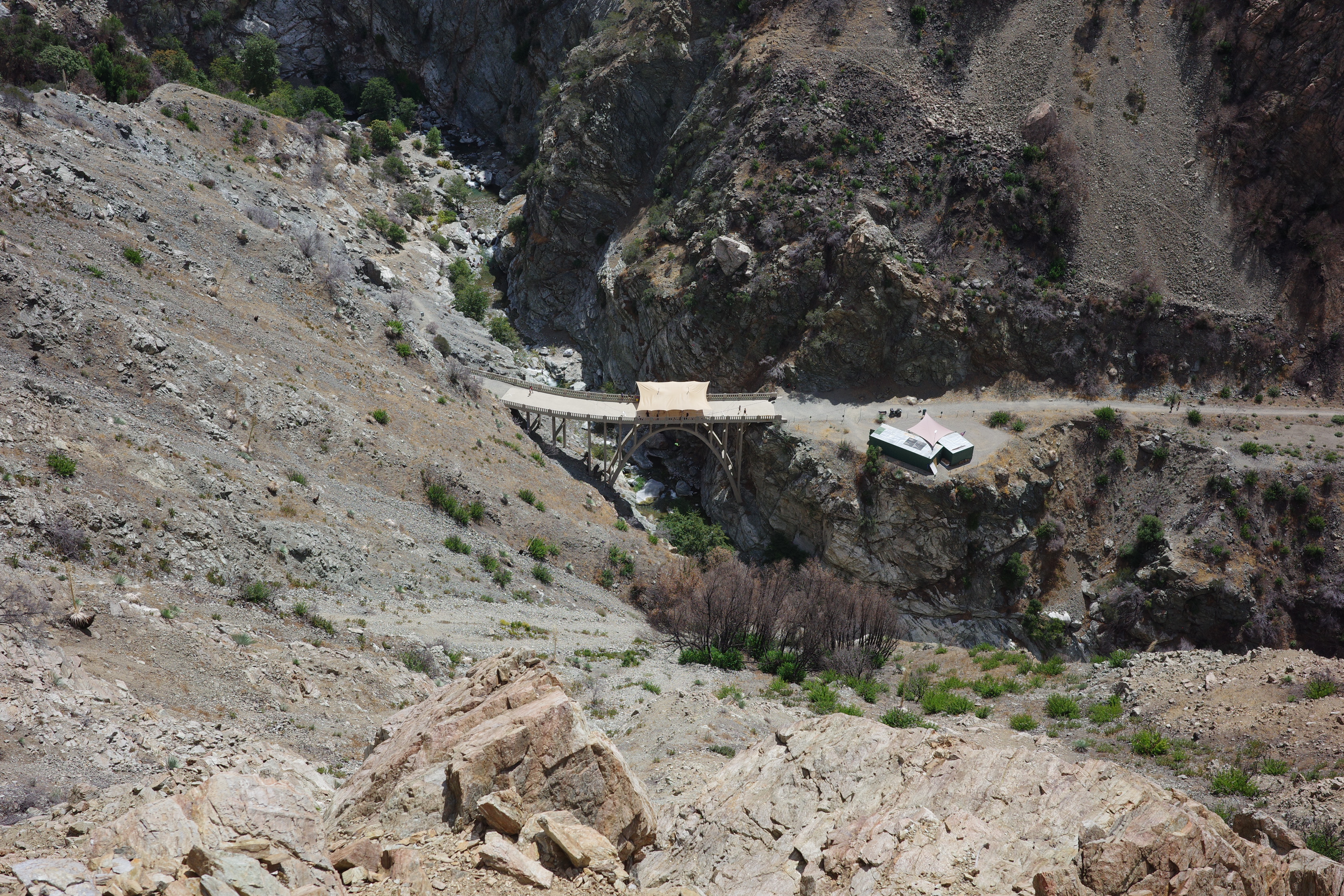
Cool bridge views
I think this is my 3rd time here-ish. The first two times I saw big herds of sheep. And they're still here!
There were two groups of maybe 10 each. They ran off as soon as they saw me. So glad they're still here despite the fire.
Anywho, here I was definitely off-trail. Because it looks like this:
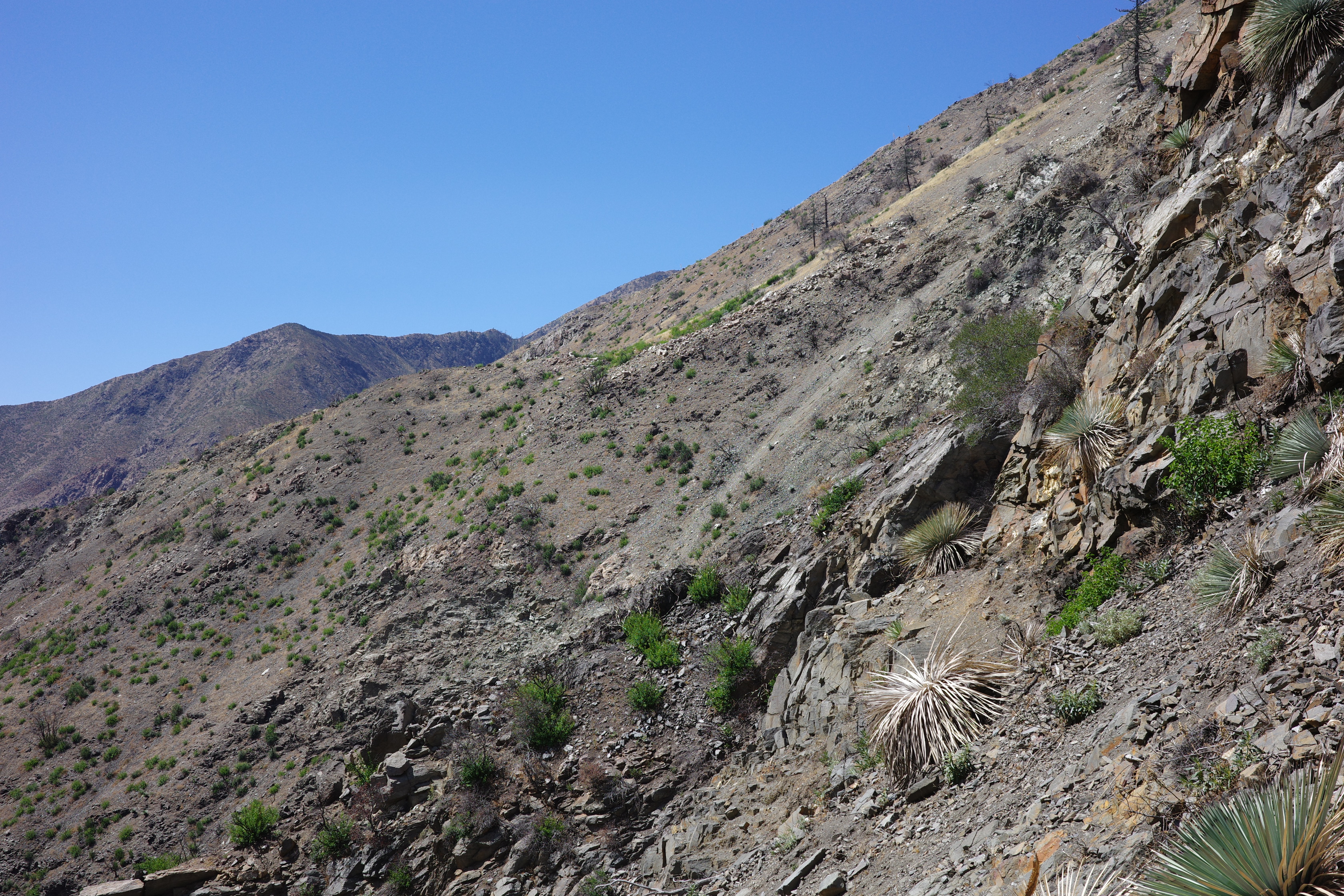
Generally, if you climb up, you get above the cliffs, and that's where the trail is.
Or a friendlier slope, at least
The trail cut in the background is on the other side of Devil's Gulch, to be explored next time!
The trail drops down to the East Fork at point 2612. I couldn't find the trail here at all, but it's all grass, and you don't need a trail. These rock walls are almost at the bottom
I came from there somewhere
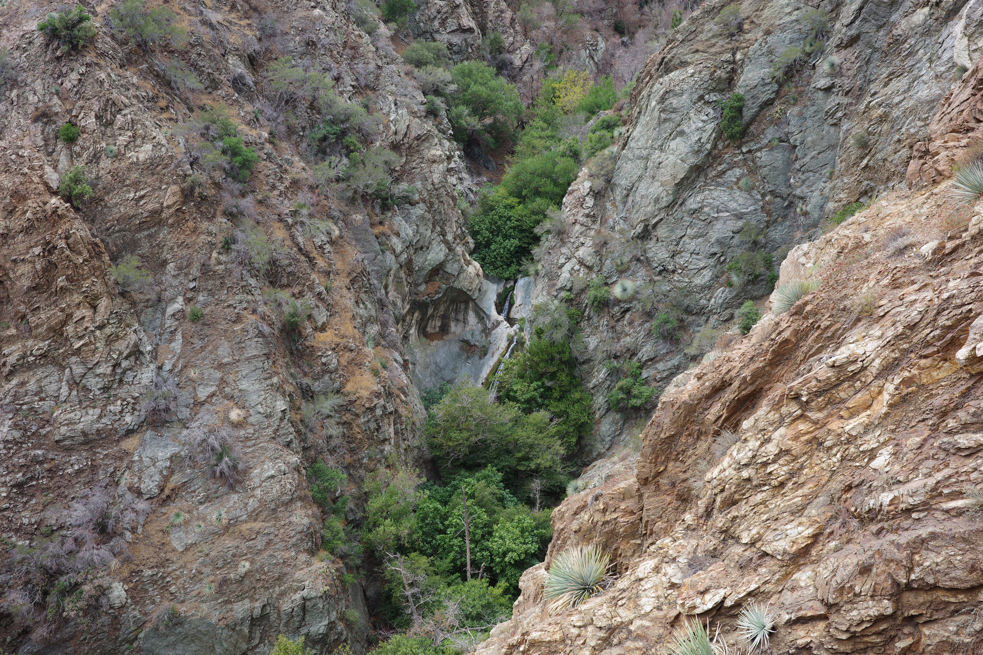
Some of the switchbacks are at the edge of the cliff down to Devil's Gulch, so you can see the falls
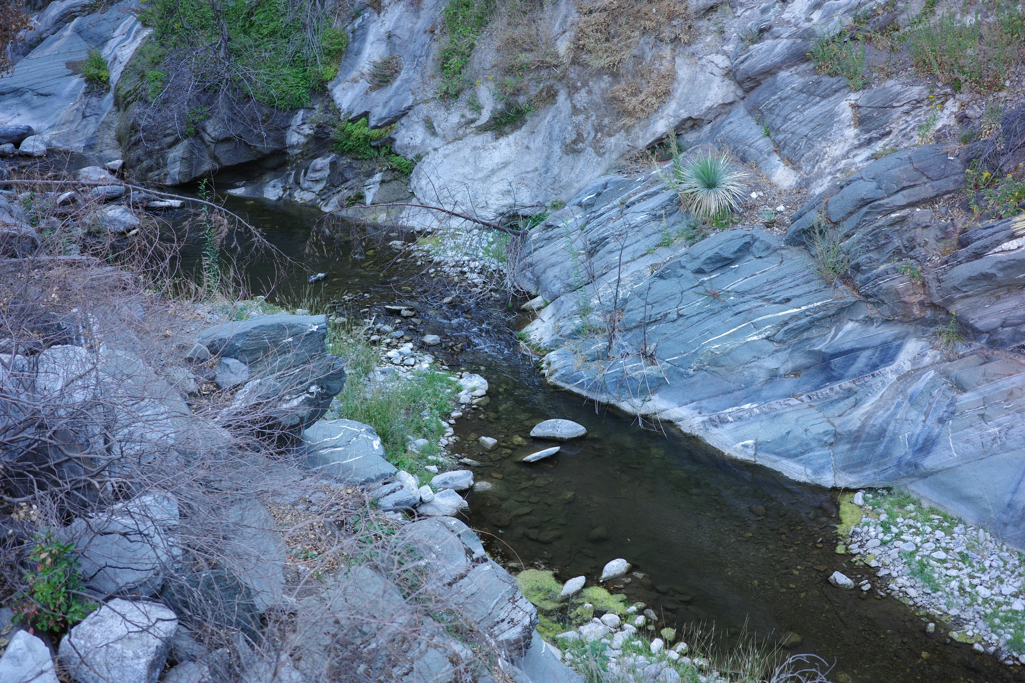
The river down here is great, and I jumped in as soon as I was down there
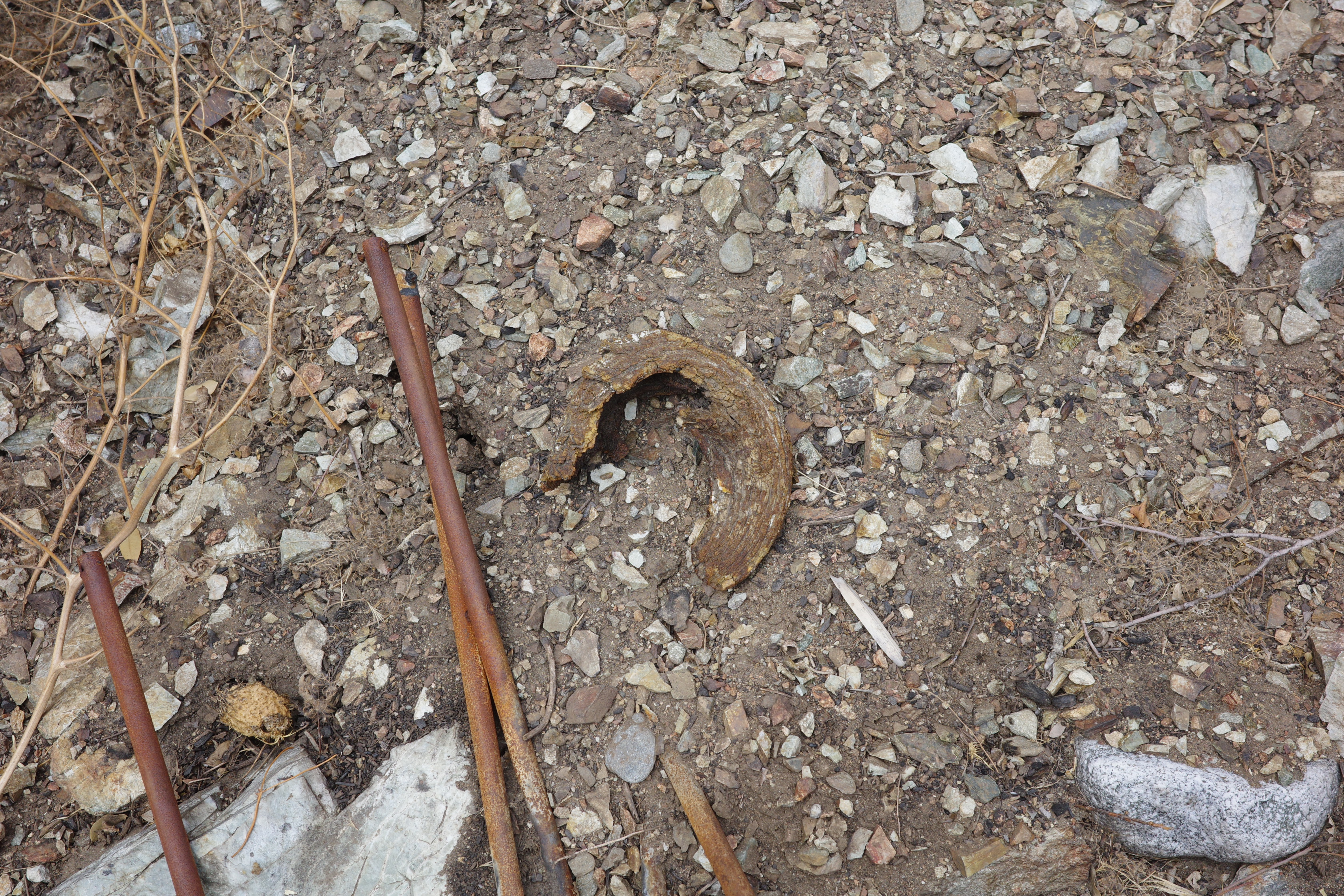
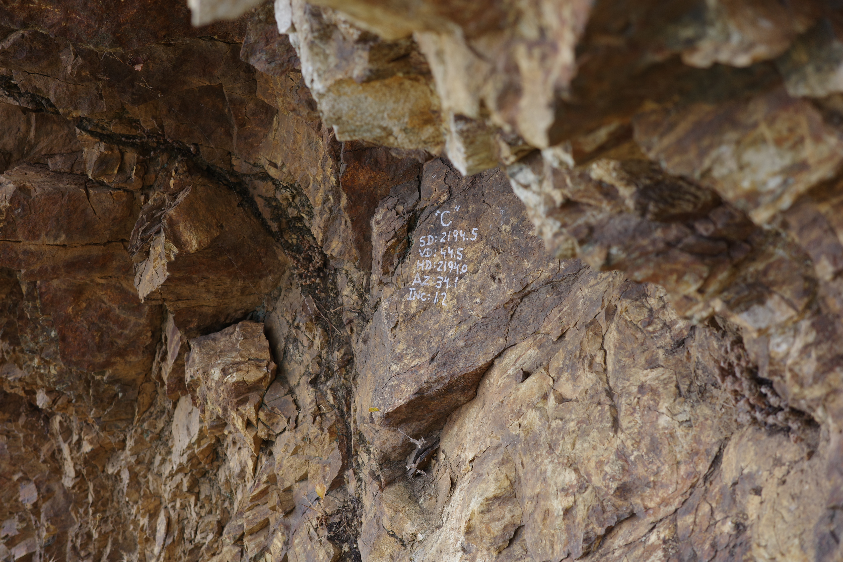
Since I was in the area I thought I'd visit the Horseshoe Annex mine, and see if the old sign is still here. It all looked wrong, the mine wasn't where it was supposed to be, but this guy was here instead
Eventually I figured out where I was supposed to be, found the mine and the trail cut above
The sign was on this trail, I think. Here was the only washout I refused to cross
Super exposed, crumbly, narrow dirt shelf sloping outwards. No thanks. The sign was gone, but perhaps this tells us where it went?
So that's that. Iron Fork is great, and we now have a mission to check out the rest of the PL&P.