Shasta via Clear Creek

TRs for ranges in California.
User avatar
dima
Posts: 1686
Joined: Wed Feb 12, 2014 1:35 am
Location: Los Angeles

Post by dima »

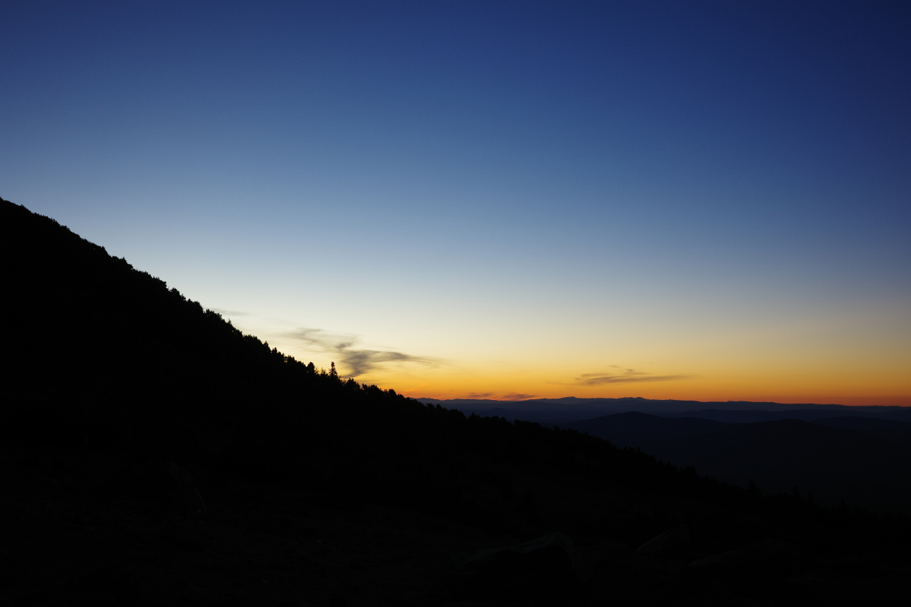
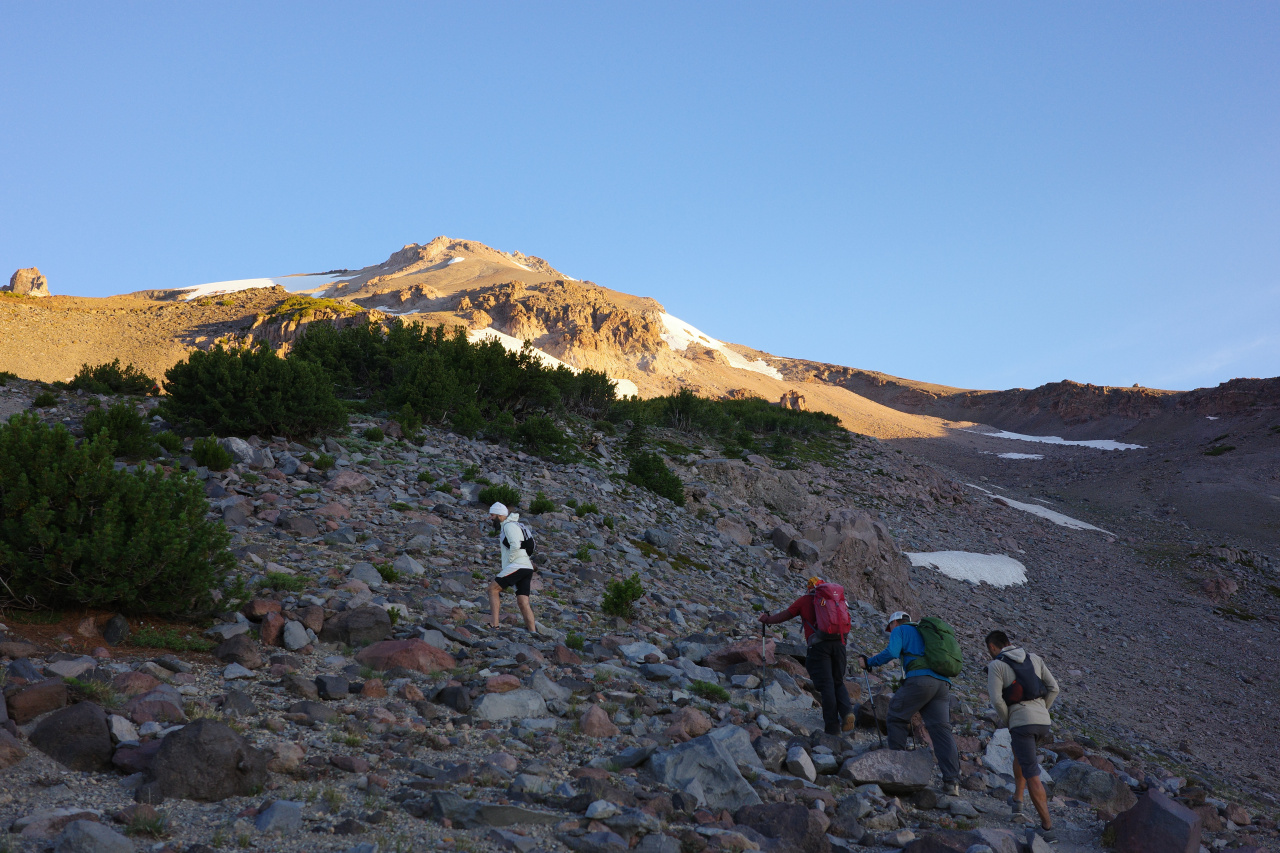
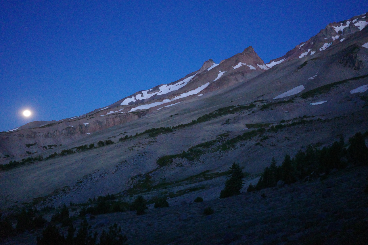
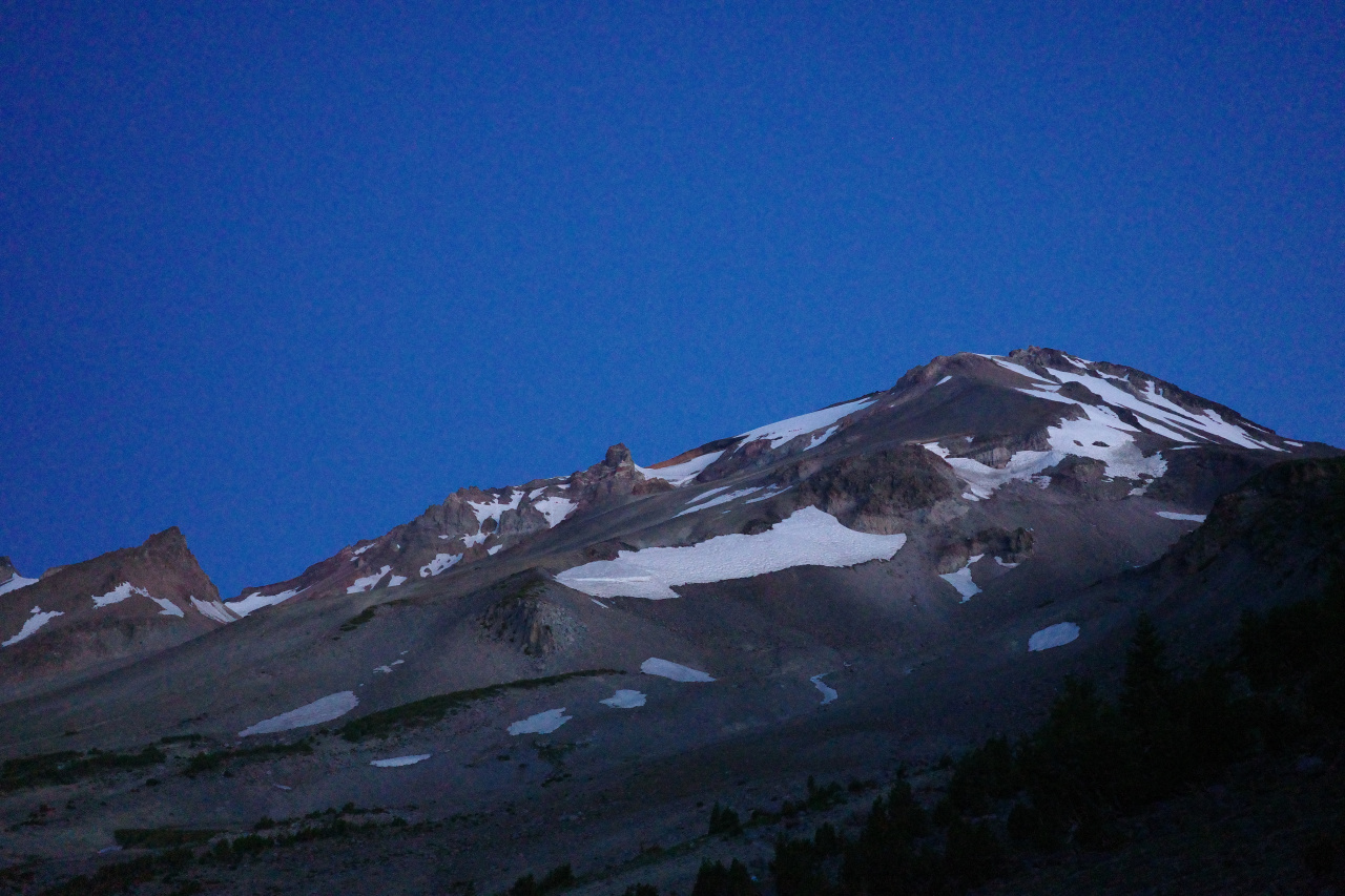
Orbitor and I and a bunch of other people just climbed Mount Shasta. It's summer, so we went up the Clear Creek trail instead of the mountaineering route in Avalanche Gulch. The Clear Creek route is a well-defined trail from ~ 6400ft to the summit at ~14200ft. The first 2000ft of gain are in the forest, the rest in the barren moonscape above. It's all steep and unwavering. We started at 4:30am, and by sunrise, we gained the 2000ft to the end of the forest and to the last liquid water source: the spring at the head of Clear Creek. The moon was still up:

Image

The mountain ahead:

Image

The sun is coming:

Image

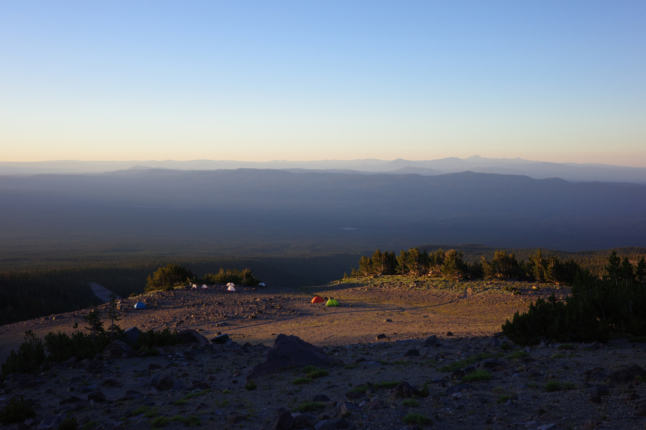
We got water, looked out at the campers
Image

And continued to climb

Image

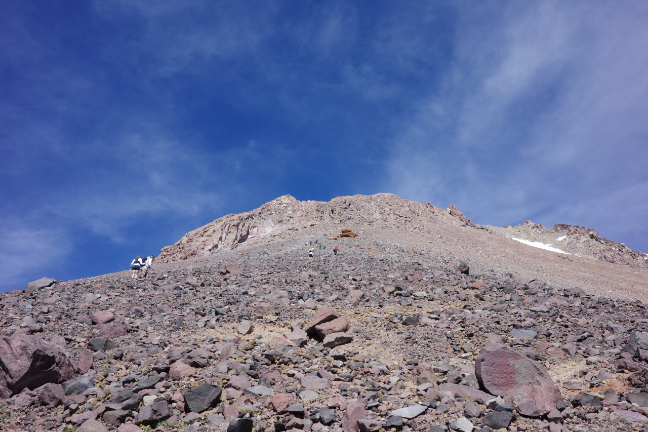
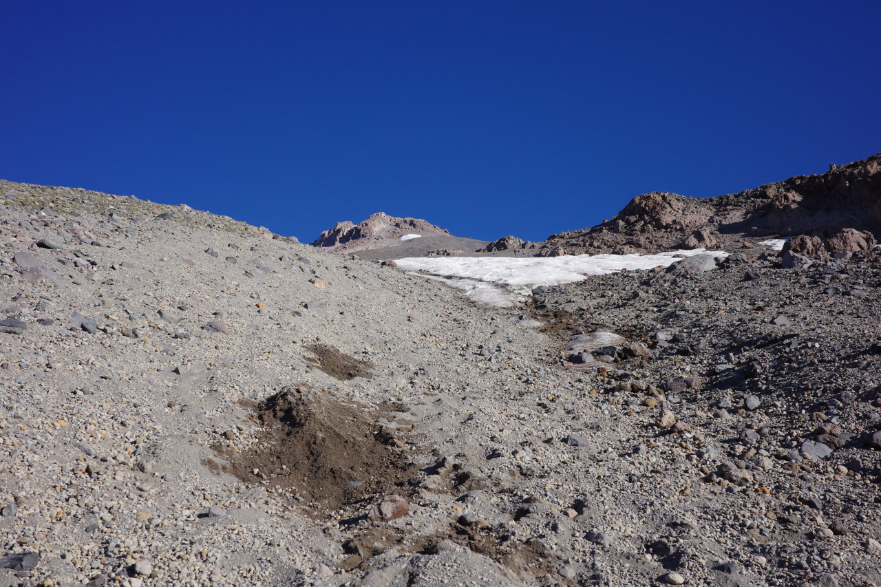
At this point you're on a steep, soft, featureless slope for seemingly forever
Image

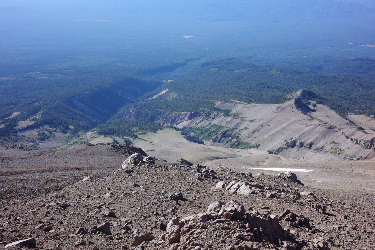
It all looks like this. My pace was faster than my friends', and I planned to get to the cliffy thing on top of this photo, and wait to regroup there. I kept climbing, but it never got any closer, so I stopped and waited before. This happened several times. Because, as I now know, that feature is almost at the summit. But there're no trees, and it all looks the same, and it's impossible to tell how far away anything is. The last photo is the view for maybe 6000ft of gain. The view back down from everywhere:
Image

Higher:

Image

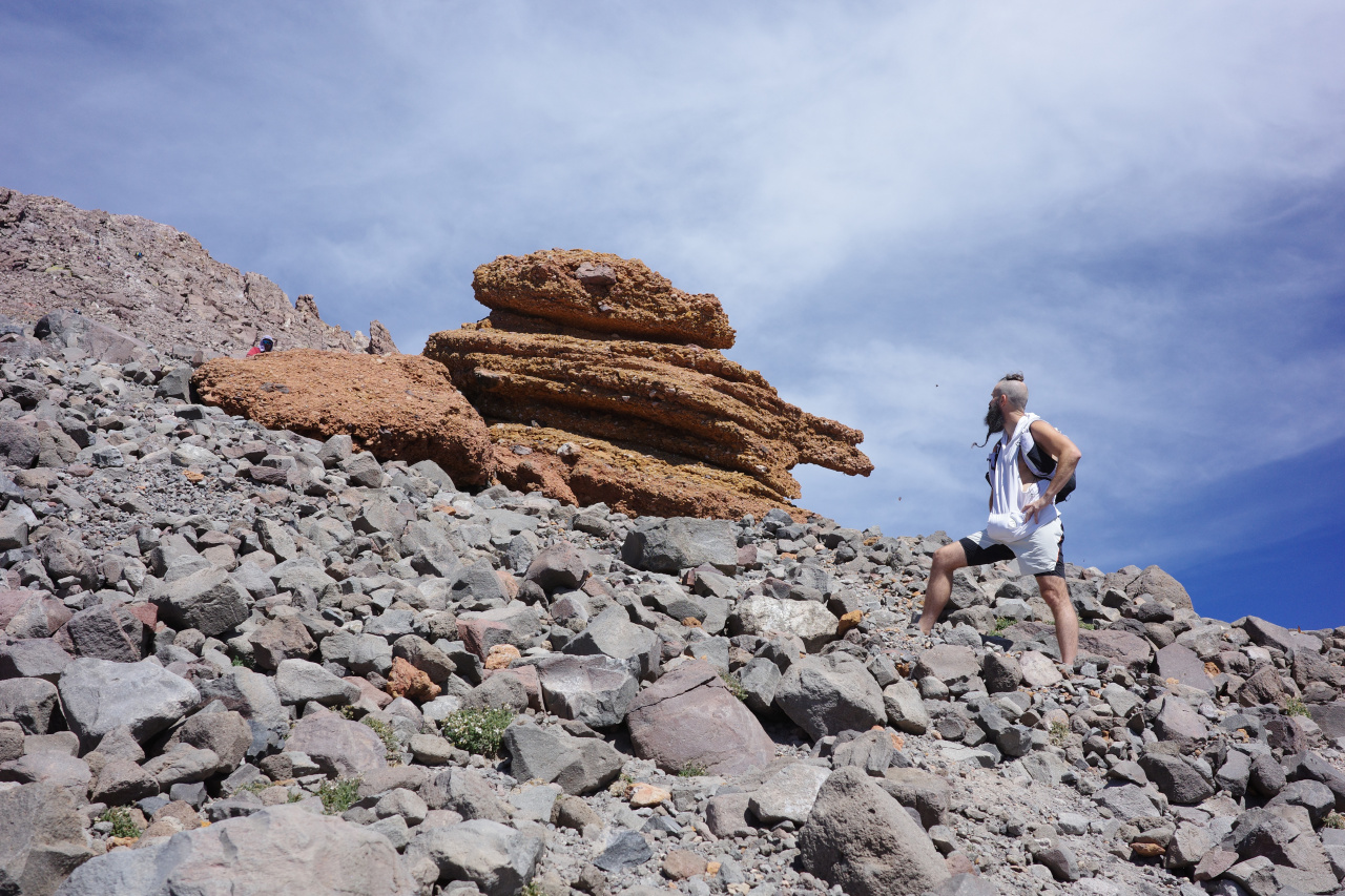
In a few places there are larger rocks
Image

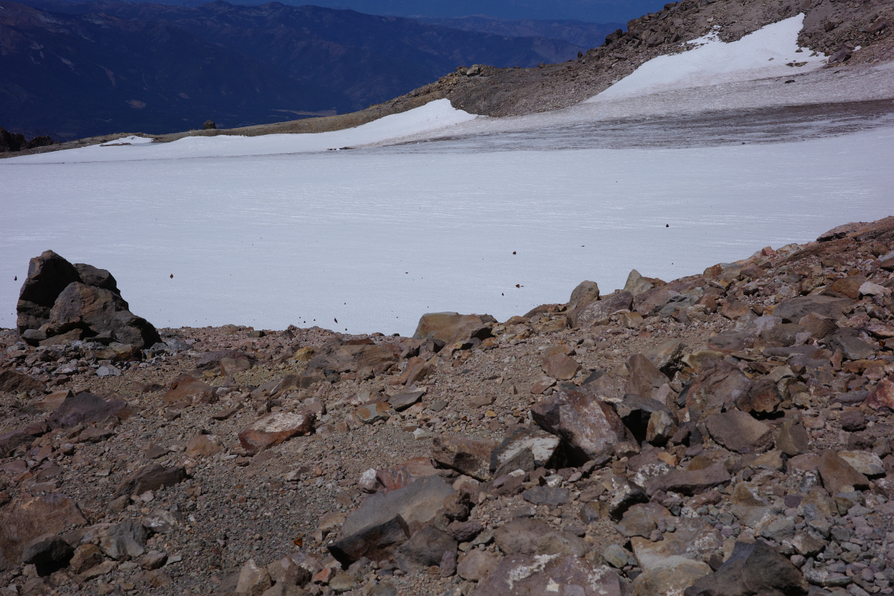
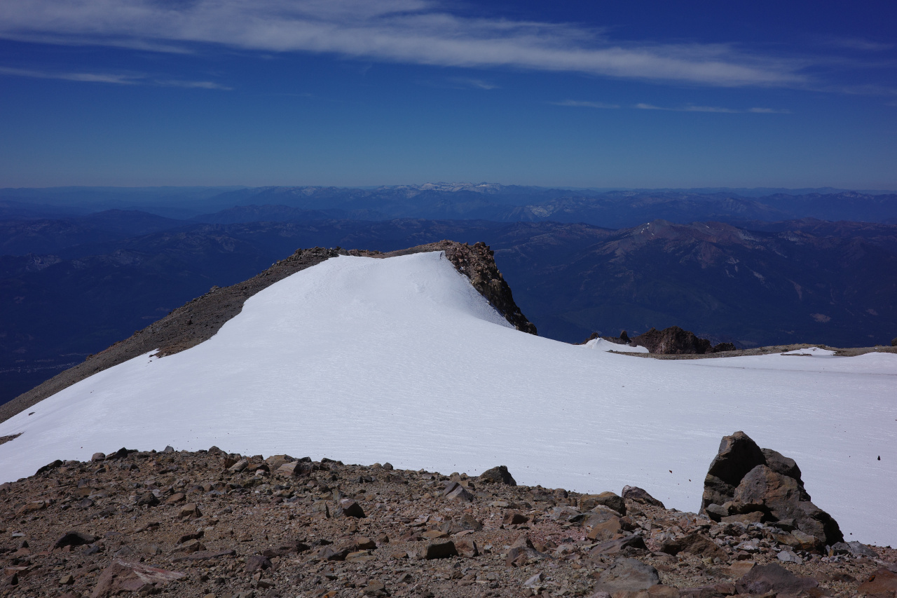
There are no plants and there are also no animals. Except the butterflies. From maybe 10k, they're everywhere. You're swimming in butterfly soup. It's a strange place.
Image

Image

This also shows the Trinity Alps, one of a small number of notable landmarks visible from the top.

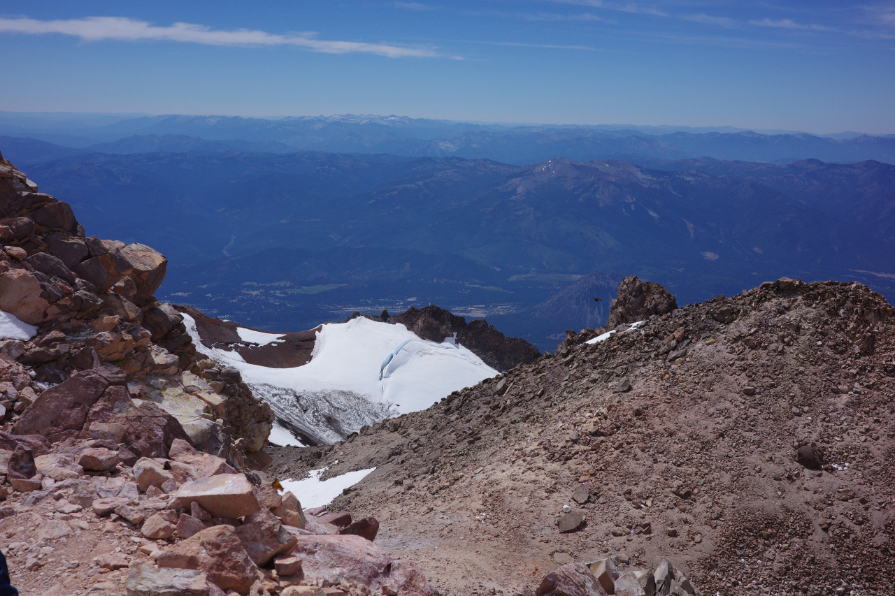
Oh look, a crevasse!
Image

Eventually you clear my regroup rock, and can gimplse the summit block
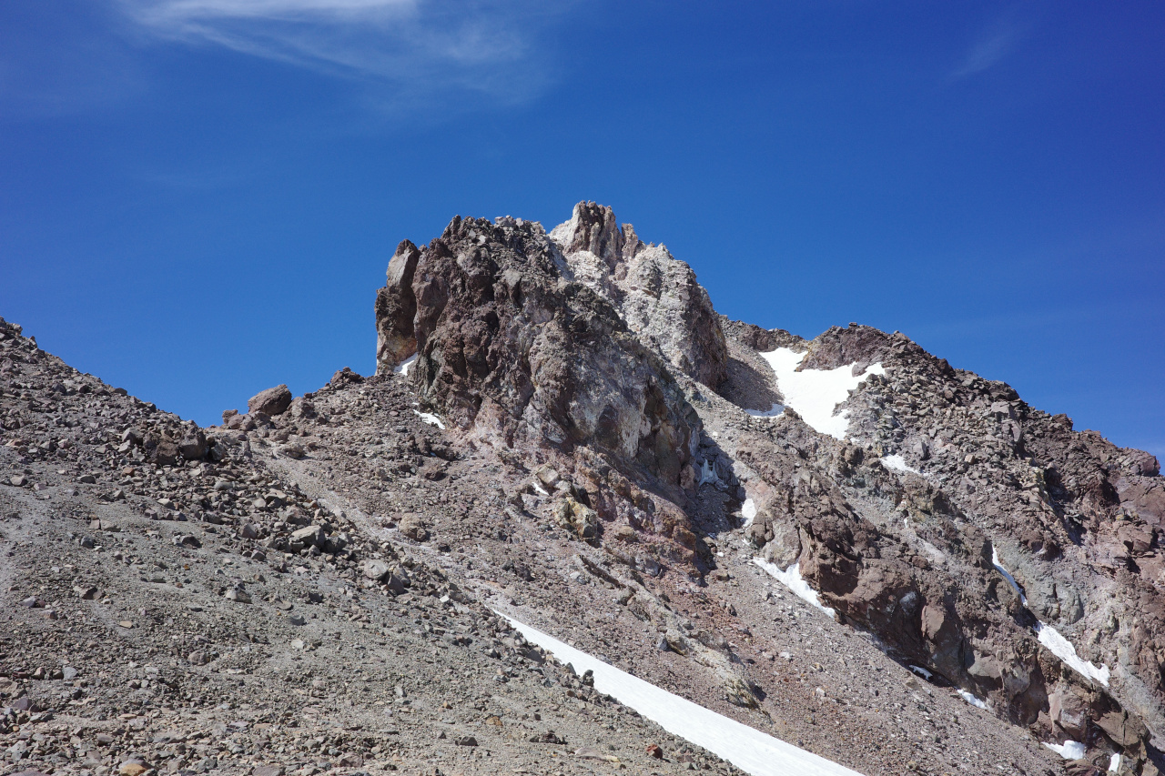
Image

At this point the whole place starts to smell like a USFS bathroom. Because this is still an active volcano, and there's an active sulfur hot spring up there. Looks like a spring
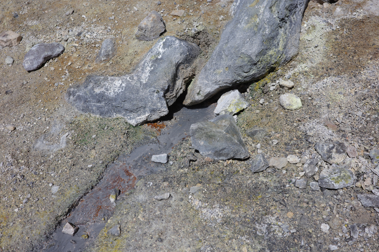
Image

but smells like death, and is loud and gurgly. In any case, you push a bit more, and you're on top!
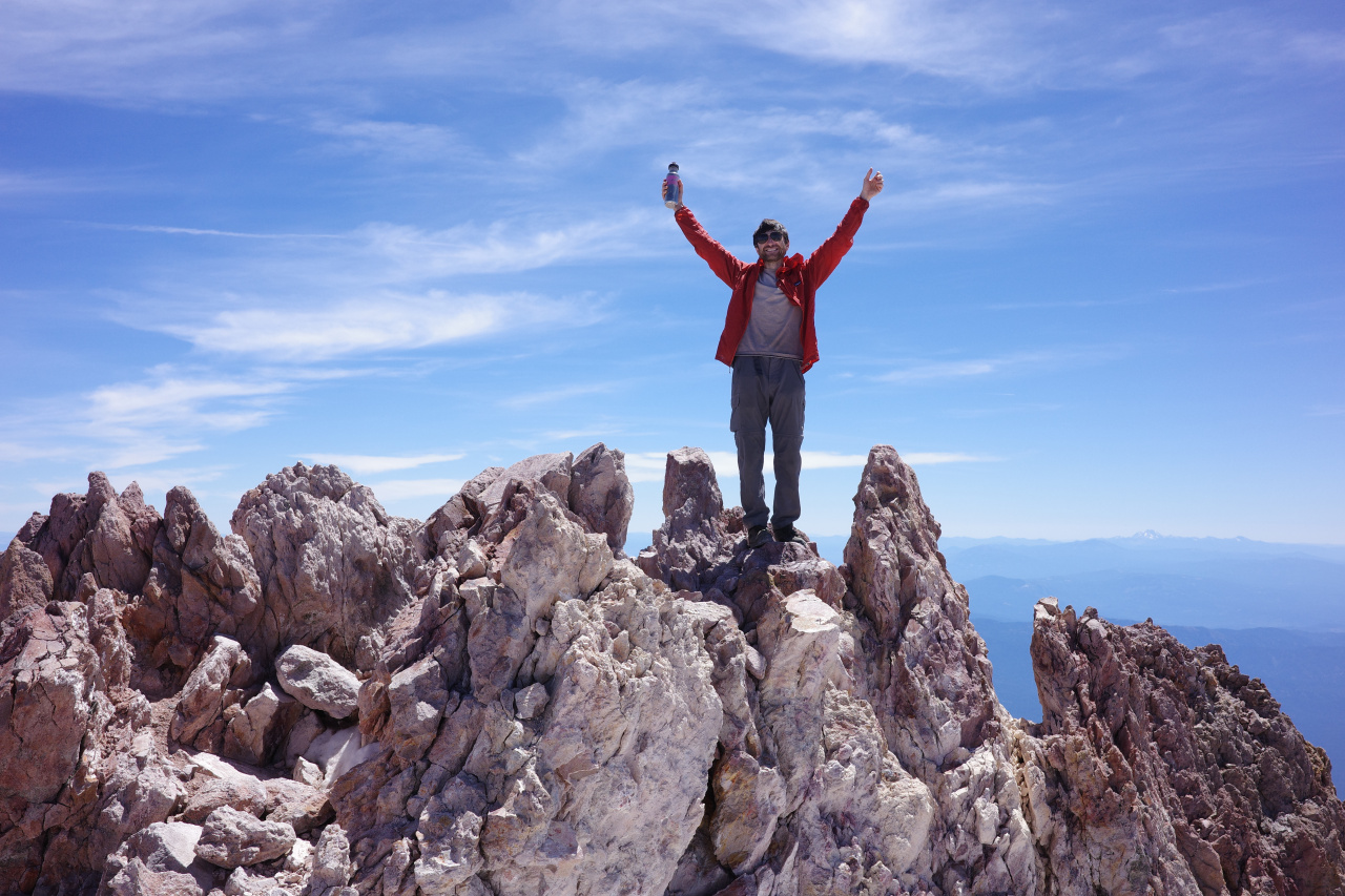
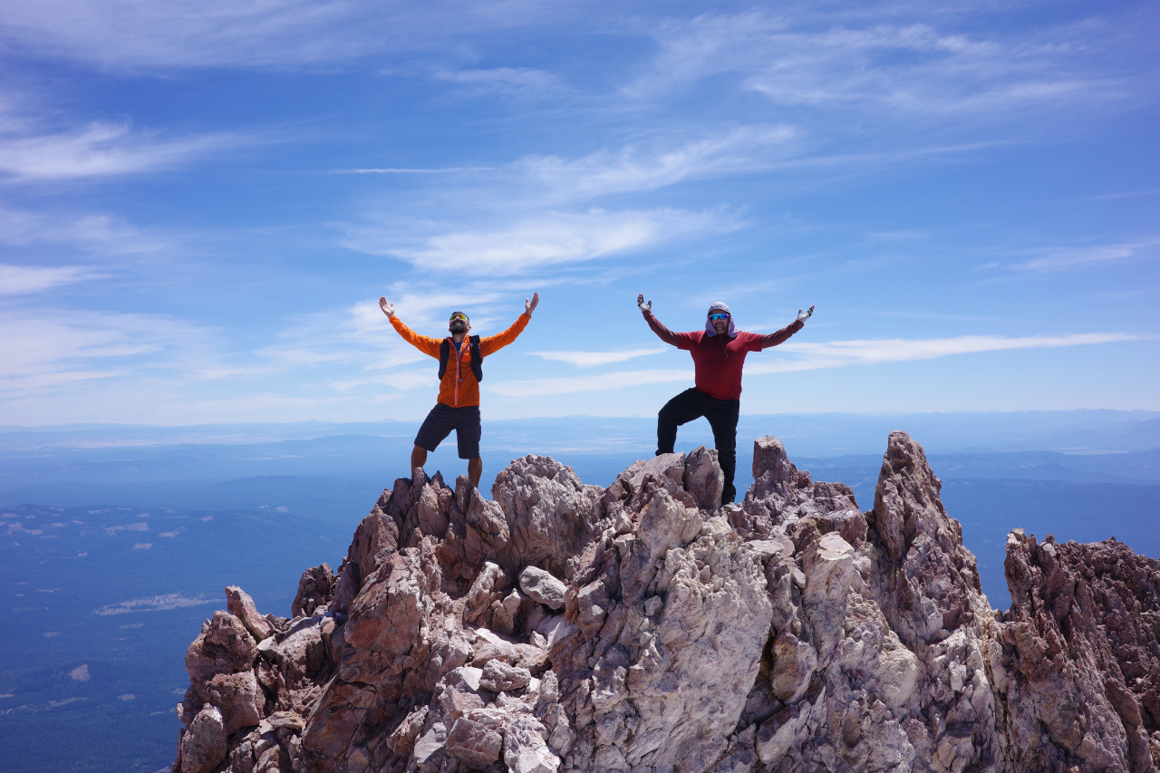
Image

Image

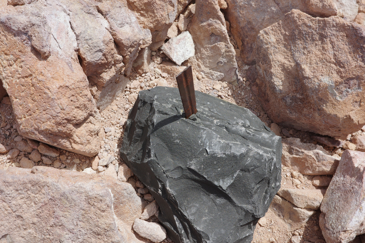
There're some rocks, a register box and a blade stuck in a rock for would-be kings.
Image

I had a bad headache at this point. Took some ibuprofen, which didn't do much. Eventually I gave up, and went back down. The pain-in-the-ass loose-and-steep terrain was perfect for plunge stepping on the descent. I made it back down to the spring at 8600ft in what seemed like no time at all. The descent cleared the headache, I drank some water, and felt like a million bucks. Eventually we all descended back to the trailhead, had some celebratory late dinner, and went to bed. Went to the McCloud river falls the next day, which are pretty, great for cliff jumping and such, and look like some sort of non-tropical Hawaii.

So... I think the cool-stuff-to-effort ratio was off on this one. If it was 1/3 the effort, it would have been perfect. I could be convinced to go back for a winter climb :)
User avatar
Matthew
Supercaff
Posts: 381
Joined: Mon Nov 30, 2015 8:25 am
Location: Pasadena

Post by Matthew »

My boy drew did this in a few days in the springtime in the snow this year and he had a blast! I think more snow might be the move
stoke is high
User avatar
wesweswes
Posts: 89
Joined: Tue Feb 12, 2019 10:59 pm
Location: Venice beach

Post by wesweswes »

way cool! I've still never been, but I've got these crampons waiting to be used...
User avatar
Taco
Snownado survivor
Posts: 6104
Joined: Thu Sep 27, 2007 4:35 pm

Post by Taco »

I could be convinced to go back in wintery conditions (snow the whole way). Turned back at 12,000 or so a while back.
User avatar
tekewin
Posts: 1355
Joined: Thu Apr 11, 2013 5:07 pm

Post by tekewin »

Awesome! Photos are sweet.

I've never heard about the sulfur spring. Good beta. I've been thinking about this route for many years. I'll refer back to this if I get a chance at it in the future.

Do you think you needed to acclimate more before heading up to 14k?
User avatar
dima
Posts: 1686
Joined: Wed Feb 12, 2014 1:35 am
Location: Los Angeles

Post by dima »

Acclimating probably would have helped, but it probably wouldn't have been worth the time for this one. You go up for a short time, you might feel like crap briefly, and you can fix it whenever you want, by descending. For something higher, where you're up there for days, it might make more sense.
User avatar
Nate U
Posts: 530
Joined: Wed Apr 05, 2023 7:38 pm

Post by Nate U »

I like when a trip report has the qualities of a critical review, too. Maybe Mt Shasta is best viewed from below - it truly is a one-of-a-kind sight to behold from I5. Volcanoes aren't really mountains in a strange and spectacular way.

I've never suffered from altitude sickness, but I've also never been above 11,700 feet.
User avatar
JeffH
Posts: 1326
Joined: Sun Nov 28, 2010 7:09 am

Post by JeffH »

I thought this was always a snow hike, didn't know about this alternate route. That is about the most barren I''ve ever seen, not any of the usual little weeds or sky pilot flowers.
"Argue for your limitations and sure enough they're yours".
Donald Shimoda