I was planning on riding up GMR and then GRR to the hike start point. It was 90degF at the bottom of GMR, so I thought maybe I should skip the ride up GMR. That was a good idea; even with the truncated trip I eventually overheated and ran out of water. So I drove up to the road closure at the top of GMR, and then biked up GRR to the top of the ridge below the Dora benchmark. It was warm, and I saw nobody on GRR. Eventually I got to my saddle

Crossing over I was immediately on a firebreak. This was apparently effective at stopping the Bridge fire

I walked West to pick up the ridge, and took a little detour to the Dora benchmark. The reference mark is there
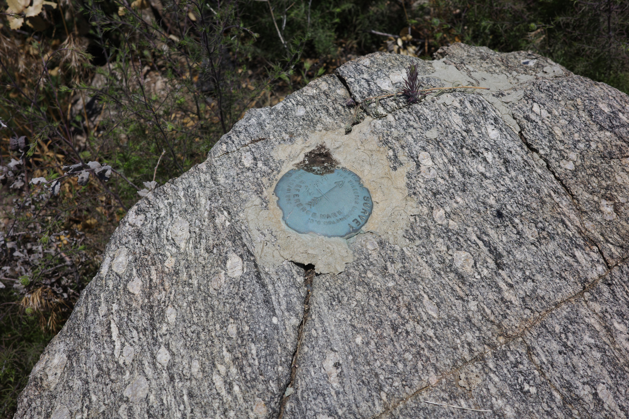
but the benchmark now looks like this
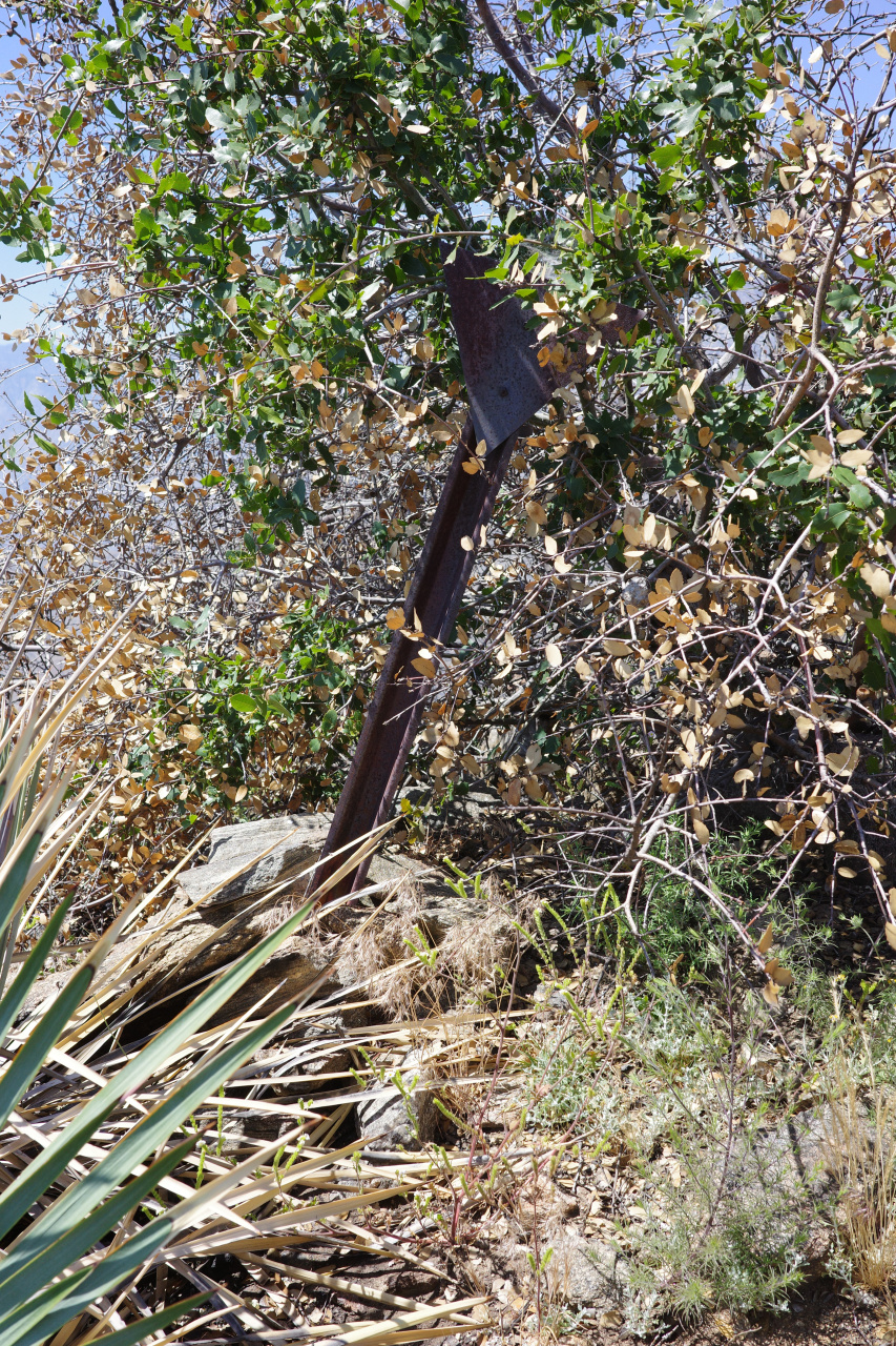
Good views from there. Lots of fire damage visible.
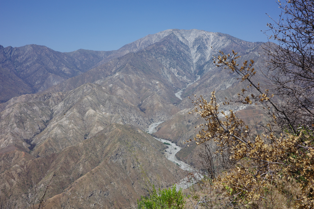
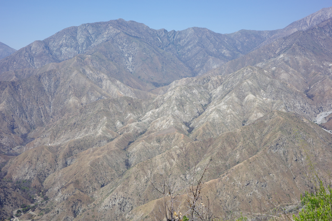

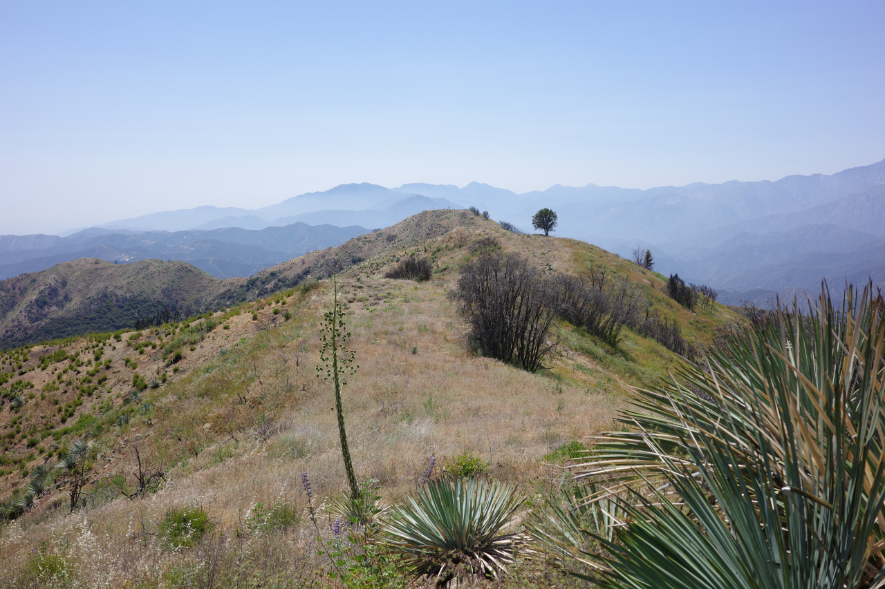
Can make out some of the abandoned vehicles in Cattle Canyon. Can also see down into Thompson ranch
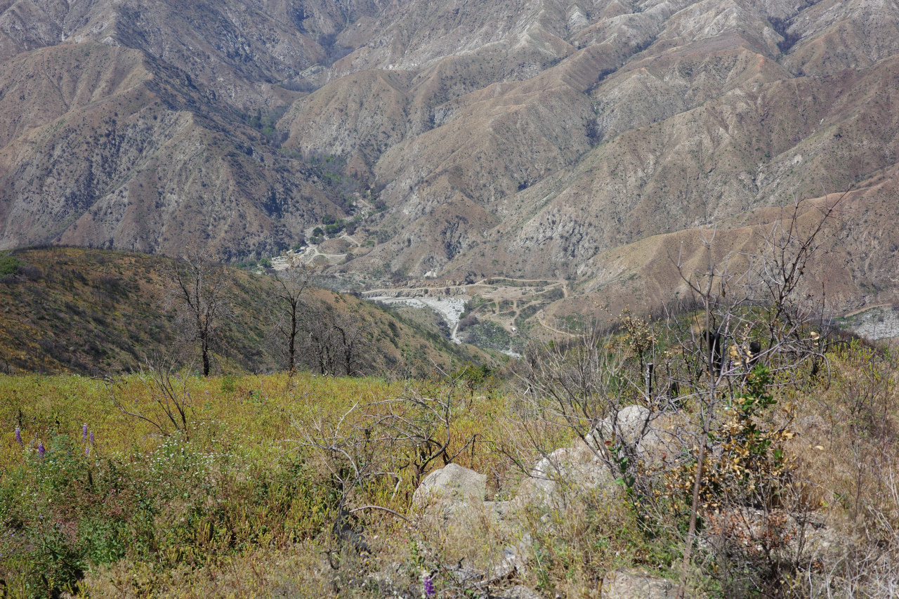

Is that any different from before? Can we walk through now? Can see the coldwater trail to Widman Ranch (the slope is scorched), but that ranch is behind a ridge. Anyway.
I'm going down this ridge:
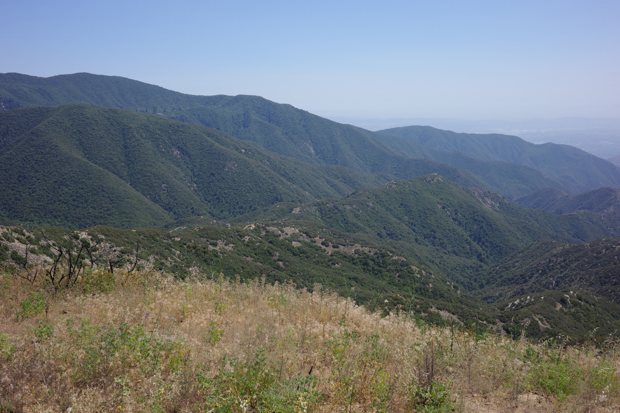
Supposedly the plane crashed just below a ridge, the people climbed to the top, found a "fire trail", turned left, and after a 3 hour hike found forest service humans. The 1952 aerial shows a good fire break on this ridge
and it's in the right area, so the plan was to walk down the ridge to the "right" altitude (a bit past the high point), and look over the left side. In addition to bringing not-enough water, I also forgot to bring binoculars and loppers. Unideal.
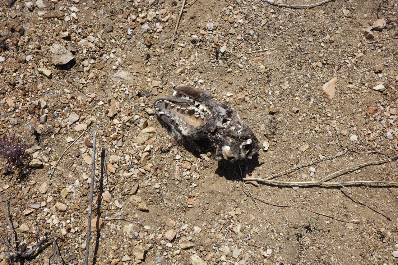
If you look at the photo above, you can see that the ridge-top has a decent use trail until the climb to the bump. This is correct; that part sucks. And I'm not the only one that thinks so; this grey fox concurs:

Once hiking down the ridge, an obvious problem becomes more obvious: the crash elevation is known, but it's not that precise. And the ridge is flat-ish in that area. And there's a lot of brush on the slope. So it's a big area to search, and the brush could hide all sorts of things.
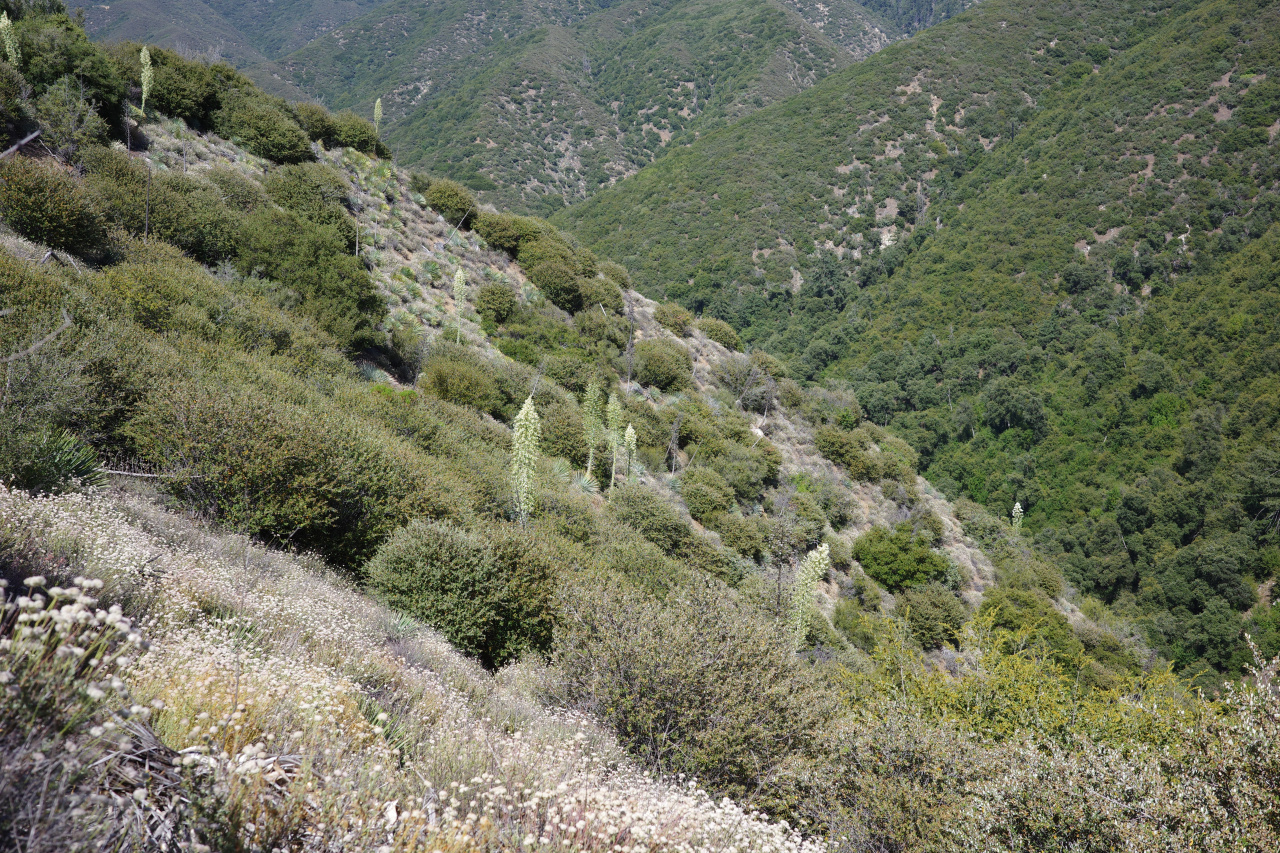

In any case, this is the initial reconnaissance trip, so that's all ok. At a reasonable spot I saw something shiny in the gully to the left
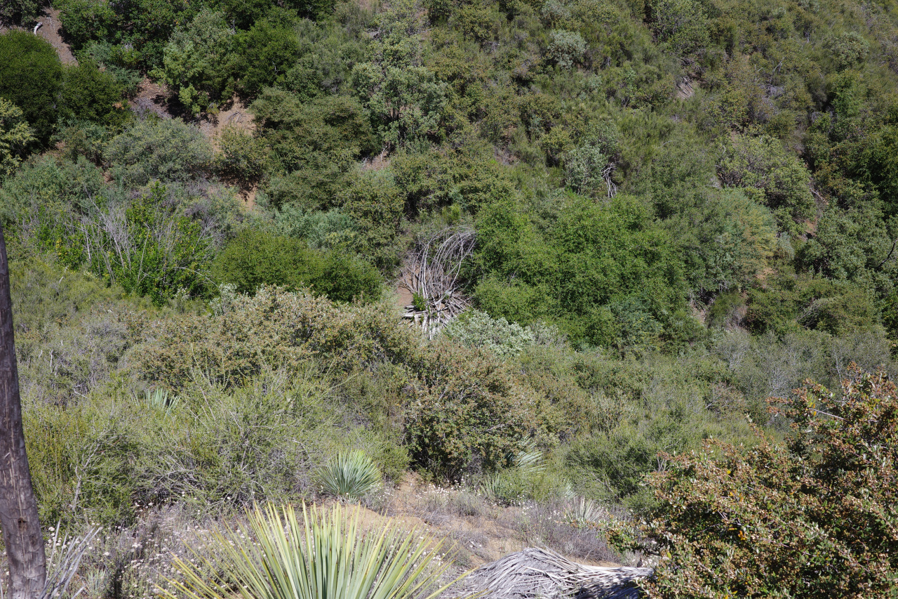
Unsurprisingly, it was this:

There was a surprising amount of garbage here. In addition to a few balloons I found a lot of beer cans, bottles and a discarded pack

Probably from hunters. I hauled it all out.
Eventually the bushwhacking was getting heavy, I wasn't finding anything at all, and was definitely starting to feel heat exhaustion. I got to a spot that was towards the end of the expected elevation range. Here the ridge drops quickly past where the crash site should be. You can see the old dirt road coming in from the SE (which the crash survivors presumably walked to get help)
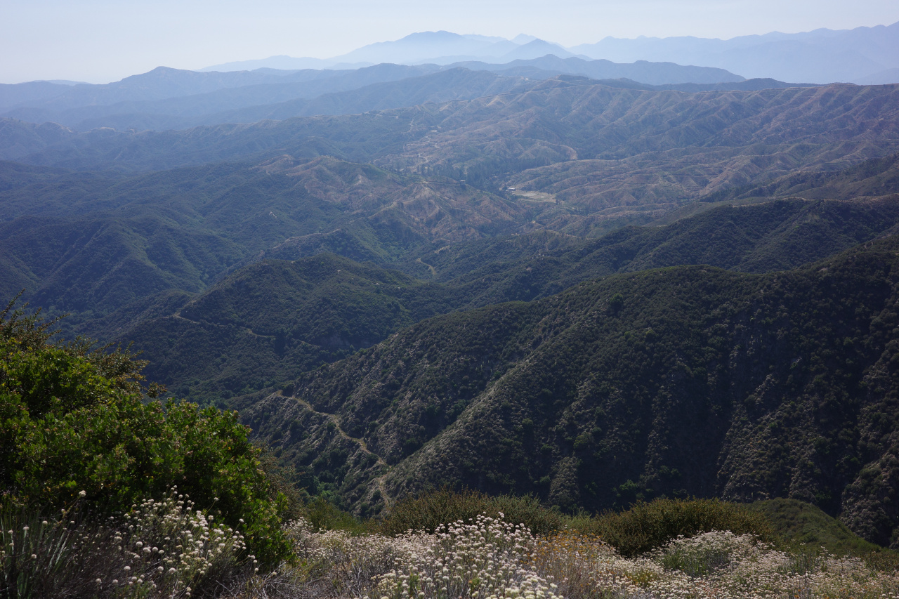
And you can see the last bit of slope that maybe would contain stuff

Nothing obviously there. I decided to call it a day, go back, and think about it some more. Walked back to nice views of the mountains and of the blooming yuccas.
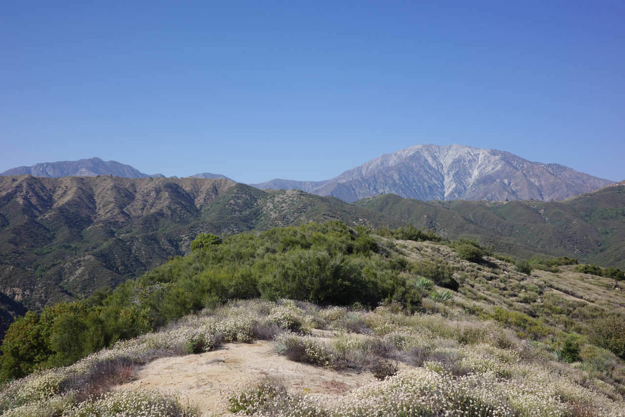

I found absolutely nothing, but it was nice to see a remote area. Will return.
