After these attempts I eventually got even less excited about sitting in a car for a long time, mostly forgot about this, and moved on to other things. Until recently, when Mihai mentioned about going there with guides, where the transport into and out of the park would be a part of the deal. I wasn't excited about being chaperoned, but not having to do any driving sounded GREAT. And what really sealed the deal for me was the fact that we would be transiting the mountains: entering on the Pacific side, and exiting on the Sea of Cortez side.
I REALLY loved everything about this trip. The area is incredible, and this kind of guiding was really nice. It was more like hiking with a friend that has been there before than anything else. They'll show you the way, and if you really fuck up, they'll try to bail you out. Our guides, Arturo and Jorge spent a lot of time in this area, and it was great to talk to them about their experiences.
This whole place is wild and rugged. After the trailhead there are no trails or human anything anywhere. There's very little trash, and we picked up everything we found. You don't even see roads in the distance. Or airplanes flying overhead for that matter.
Some of the locals are trying to rebrand this peak, to remove the negative connotations of the Diablo. It's called either Picacho la Providencia or Cerro de la Encantada. I just call it "Picacho" here.
I'm not including all the photos here, to keep this reasonable. The full set lives here.
Alright, so unlike the past attempts, this would be a 4-day backpack instead of a 1-day sprint:
- drive to the park, approach, camp at Campo Noche
- summit, descend, and spend another night at Campo Noche
- hike out downstream to almost the end of the mountains
- finish hiking out, drive back
We crossed the border at 4AM-ish, got picked up, and headed towards the Sierra de San Pedro Mártir National Park. The road up to the park is paved. The park entrance is at ~7000ft. The whole place is very lightly visited, but the gate still has a pair of bored military dudes with machine guns. Registration included a required photo of everybody's shoe tread, so that you could be found by your footprints, or something.
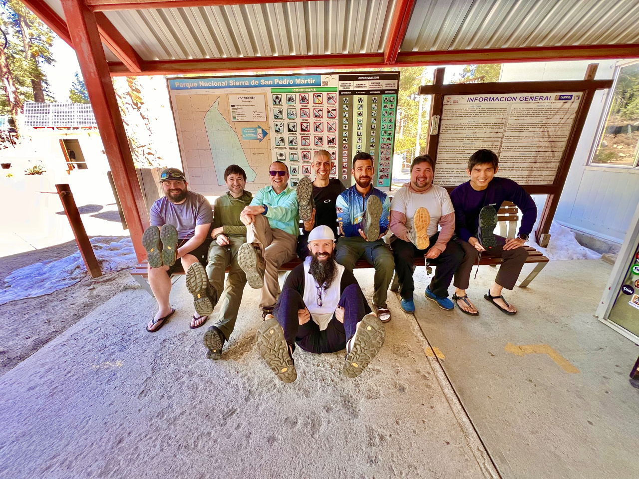
With that out of the way, we kept driving towards the trailhead. At this point, the van wasn't smelling very good, and was clearly burning coolant. It could be seen dripping out. No worries. We drove until it couldn't go anymore. Then we stopped for a few minutes, poured some water in, and finished the drive. No worries at all. At the trailhead (8100ft) we got our stuff ready, and headed out
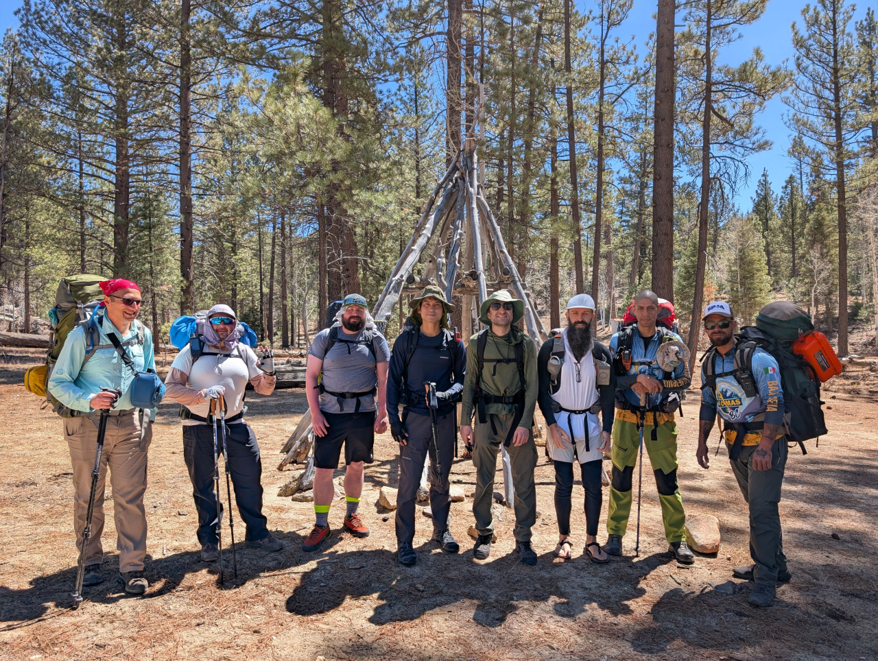
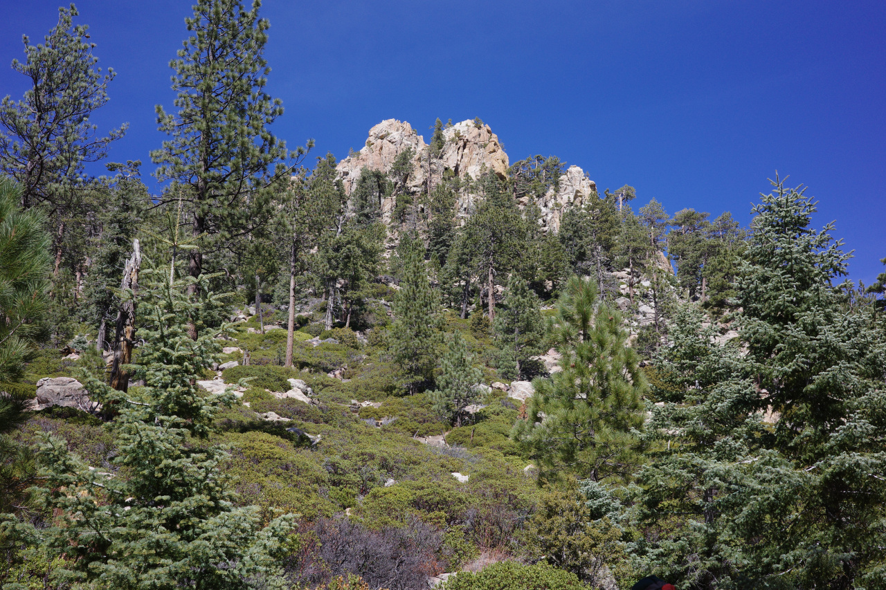
Here you're walking through a real nice pine forest, gaining elevation not very quickly. There's a use trail here and there, but mostly you're travelling cross-country. Cool rock formations are everywhere.
Eventually, after 5 miles you climb up to a saddle at 9300ft:
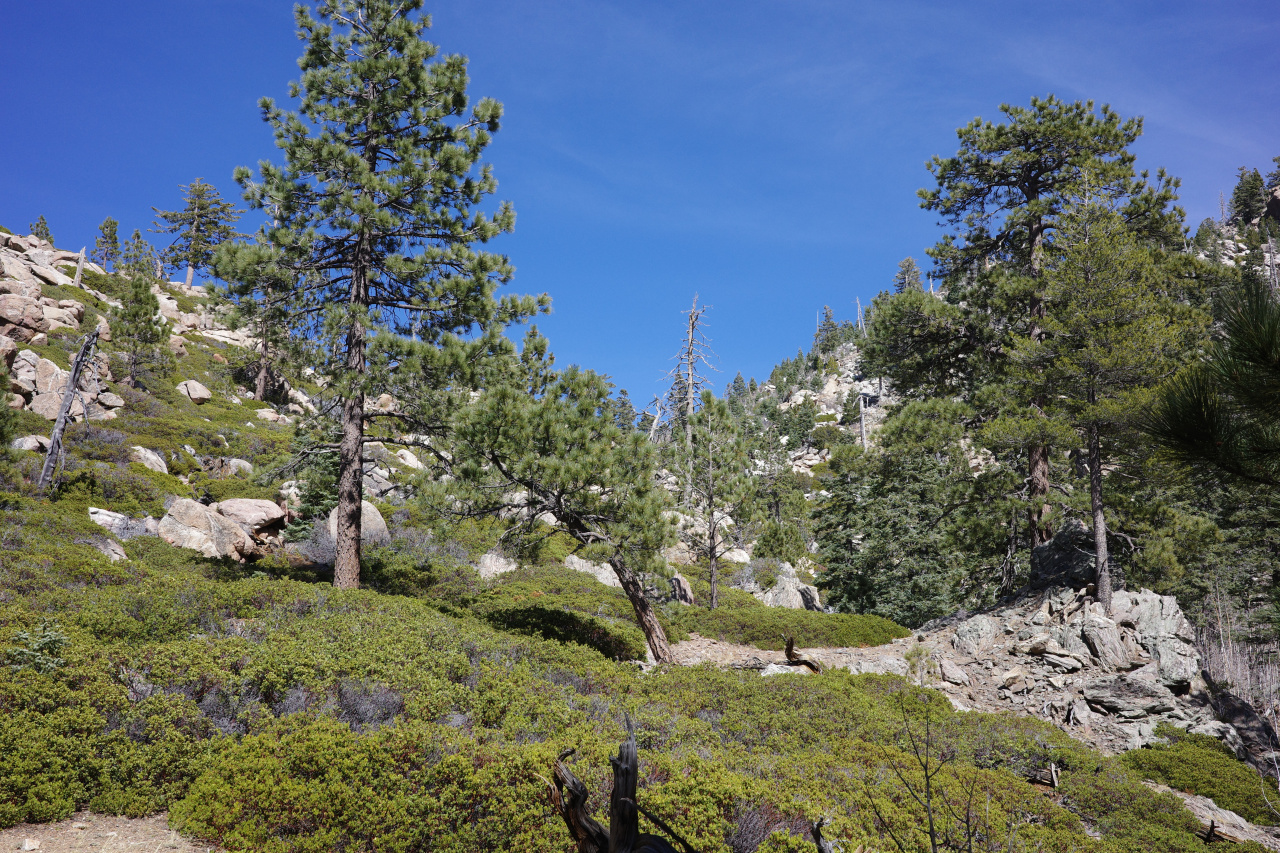
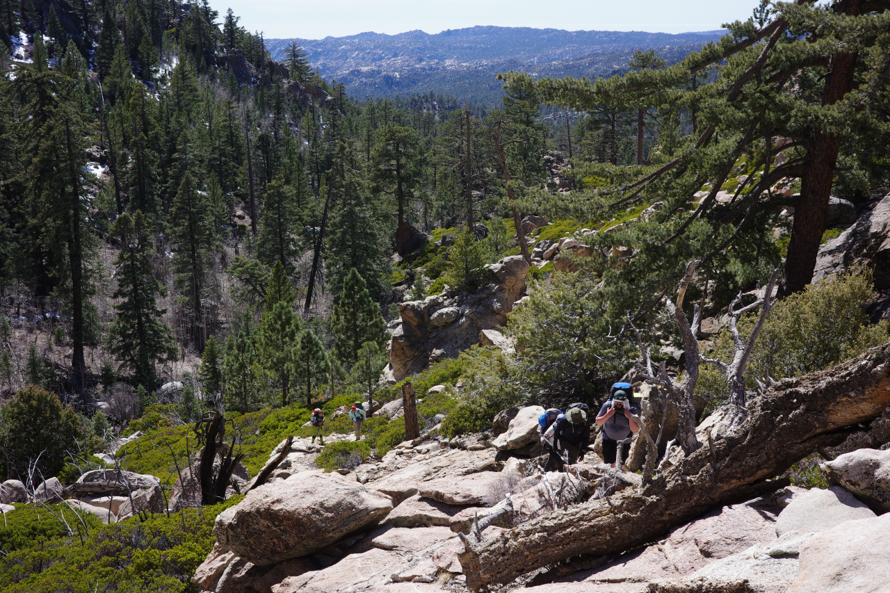
Here you can finally see across the mountains to the Sea of Cortez side, and get the first peek at Picacho and the canyon on the other side.
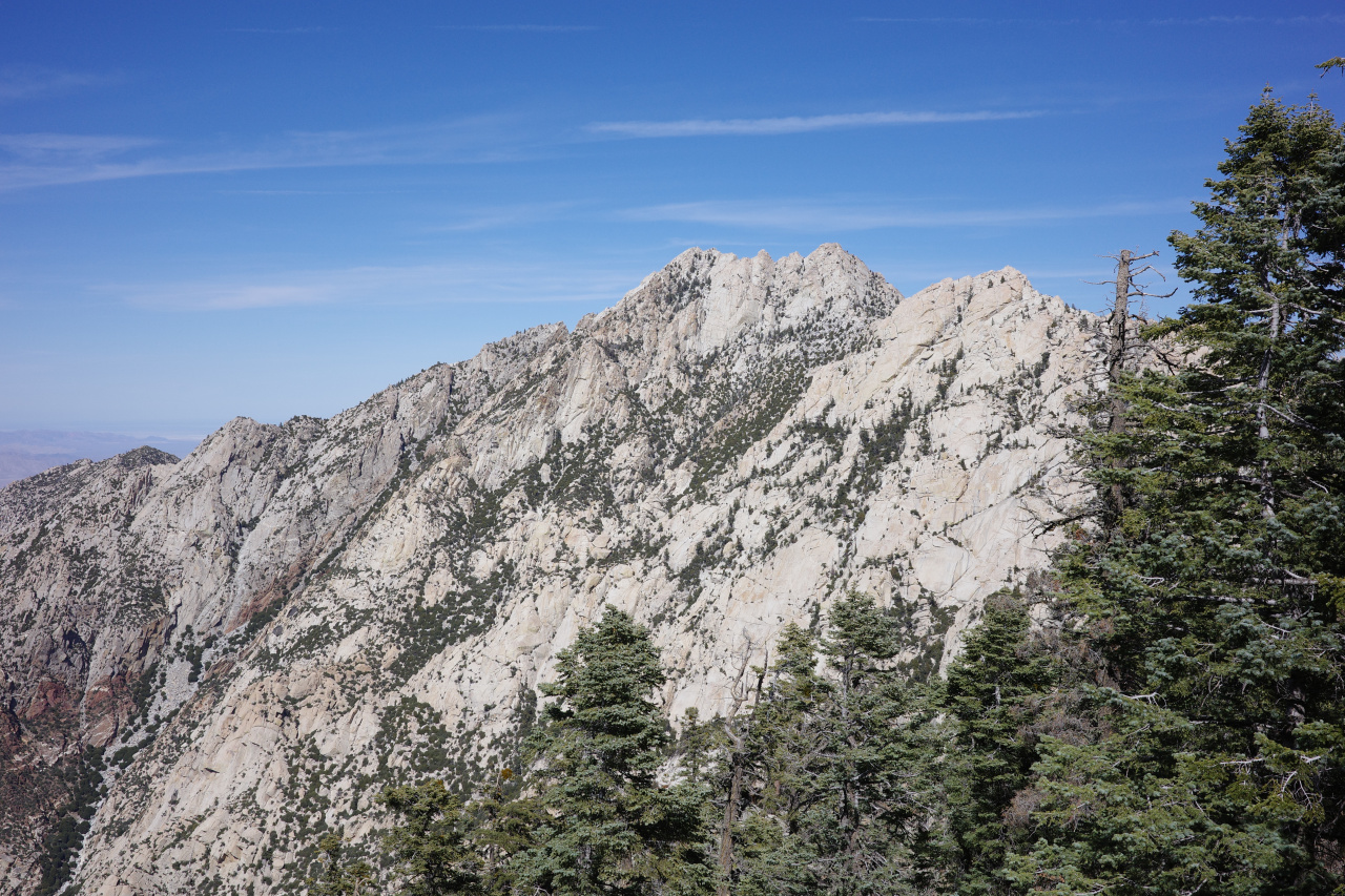
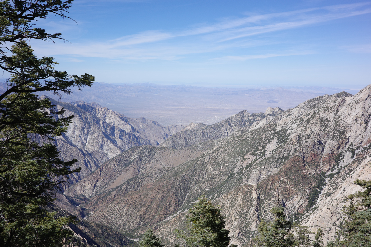
Gnarly. Here the route traverses to the E a bit, before dropping STEEPLY 3000ft down a gully. The reason you lose 3000ft here instead of sticking to the high ridge is because this ridge looks like this:
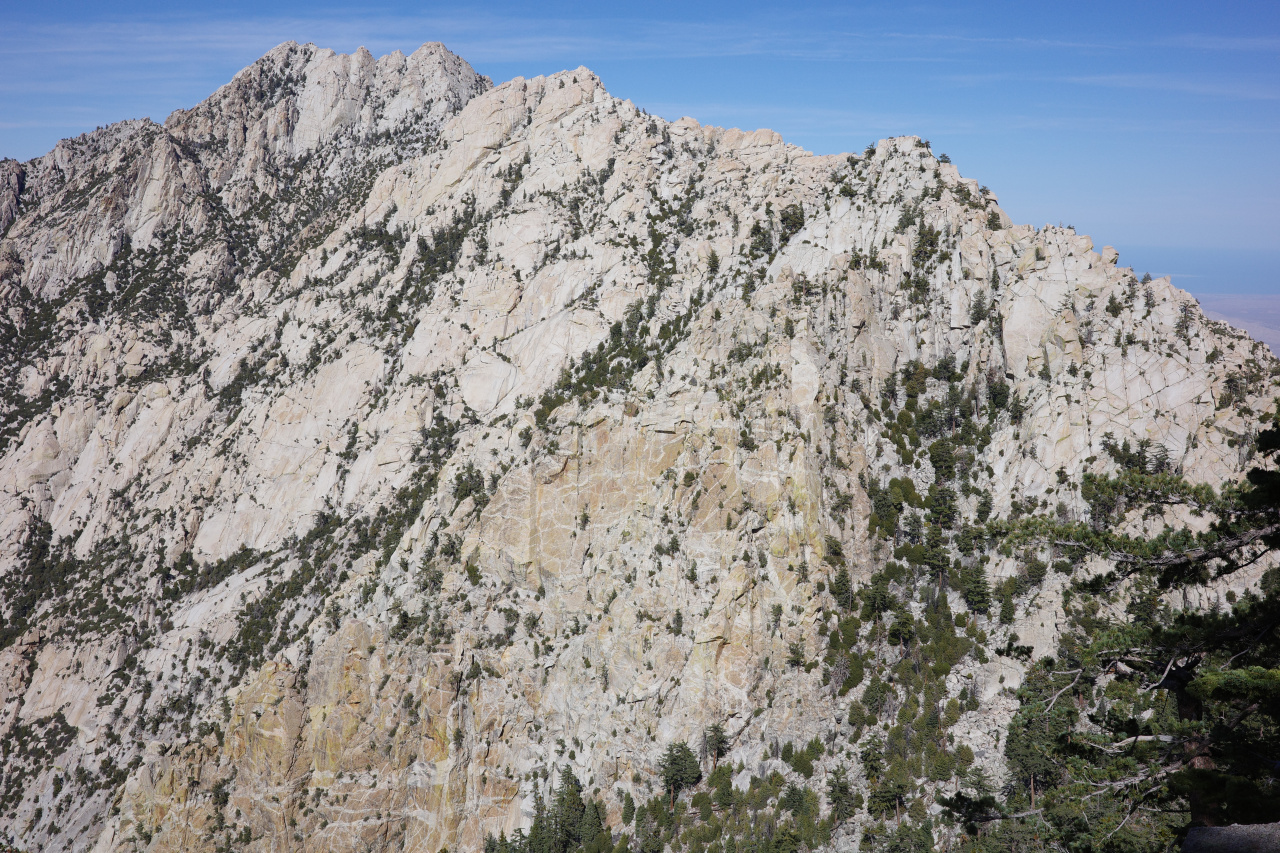
I guess doable, but way above my pay grade. We kept it exciting too, and our traverse looked like this:
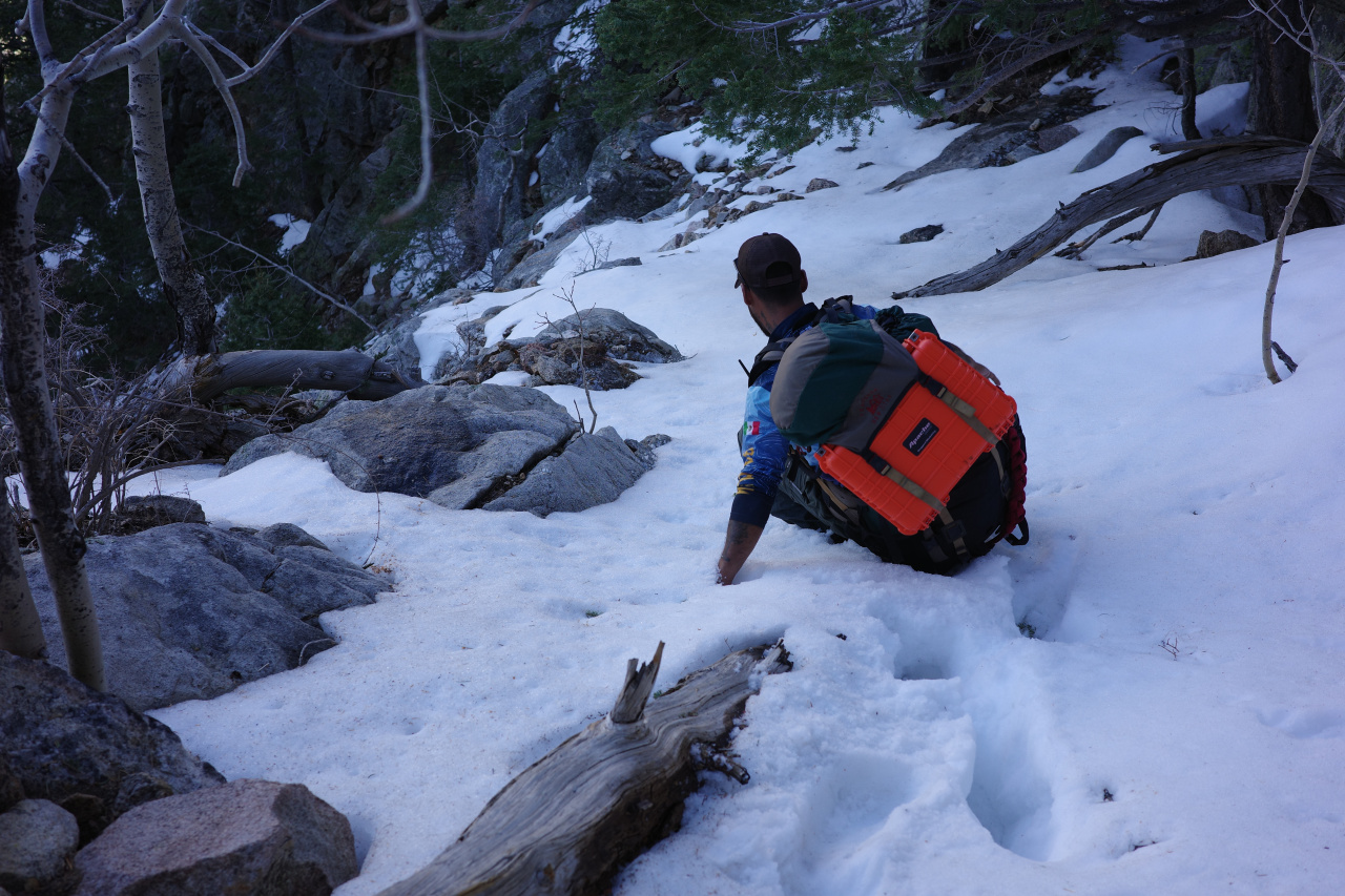
The orange box Arturo is carrying is the new register for the summit. The descent is real steep
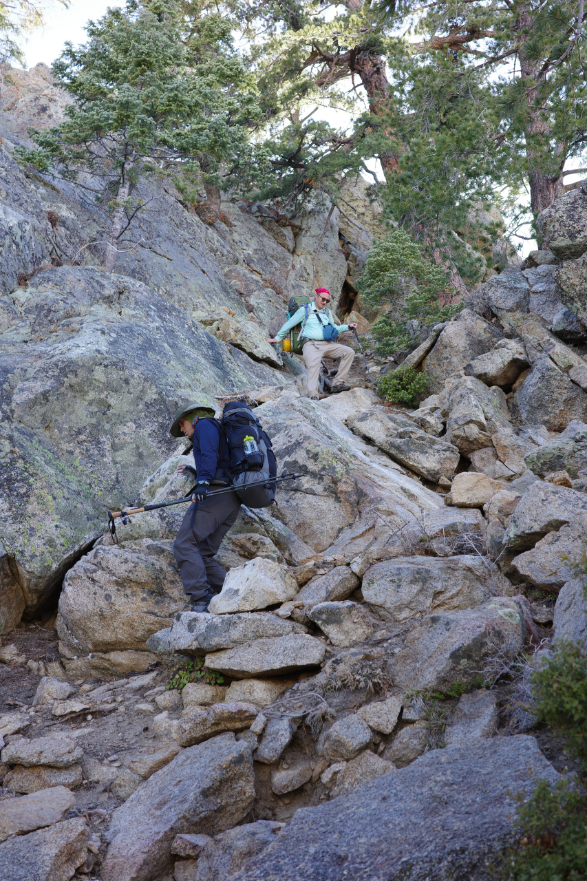
but has cool views
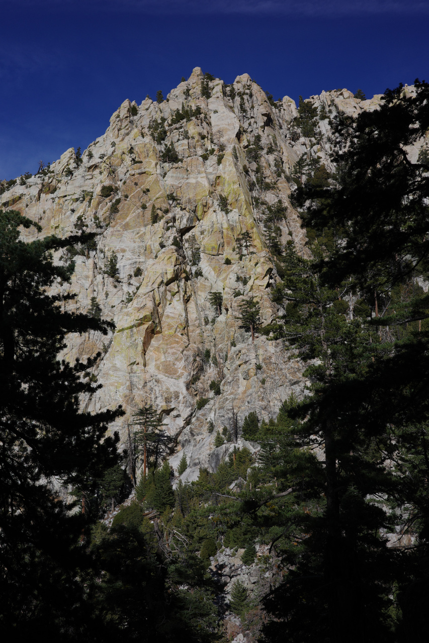
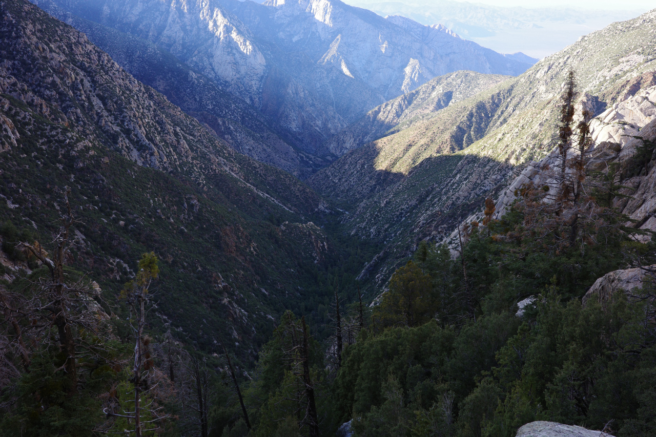
Eventually you drop down to the creek
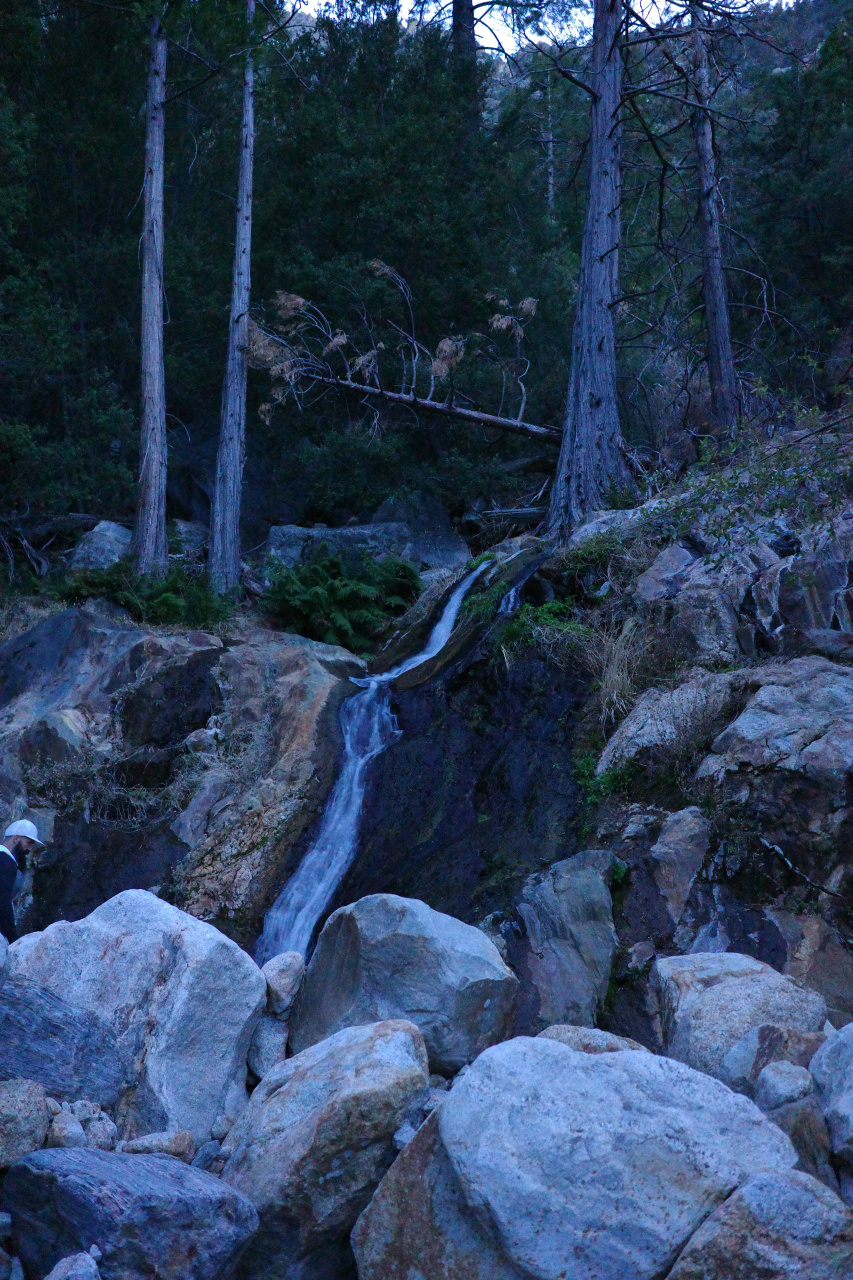
and set up at Campo Noche at 6300ft.
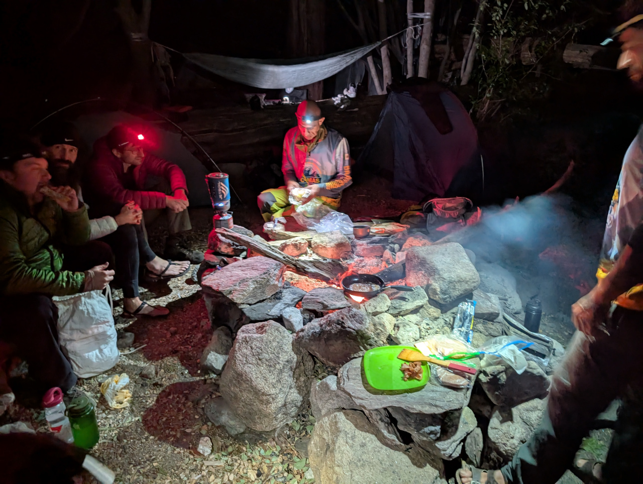
Campo Noche is just a few flat spots and a fire ring by the river. There's no development at all.
Summit
Summit day! We started walking a bit past sunrise. You more or less go steeply straight up from camp, and eventually end up on top. It's a rocky gully the whole way. The easy lines are all class 2-3. Tons of climbable rock is everywhere, and plenty of harder options exist. The bottom:
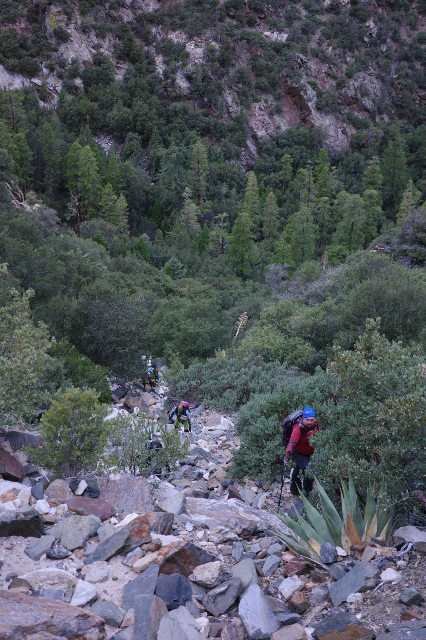
Not the peak (correction: upon further reflection, that is definitely the peak)
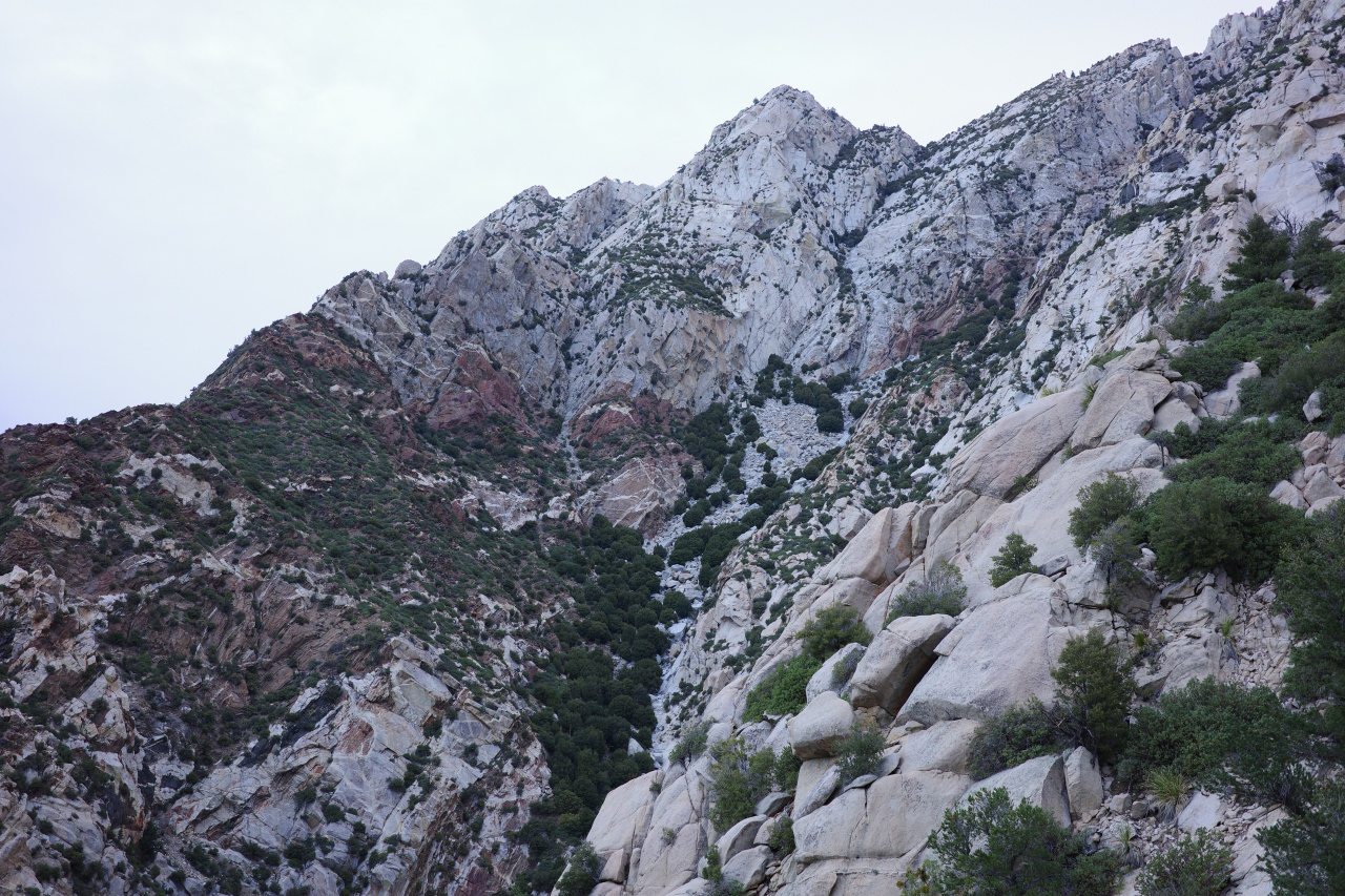
This place is cool
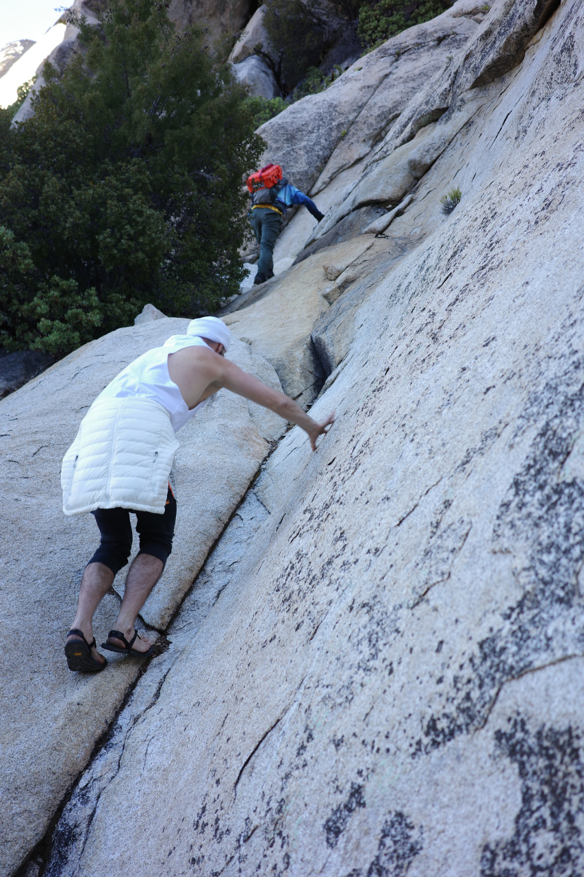
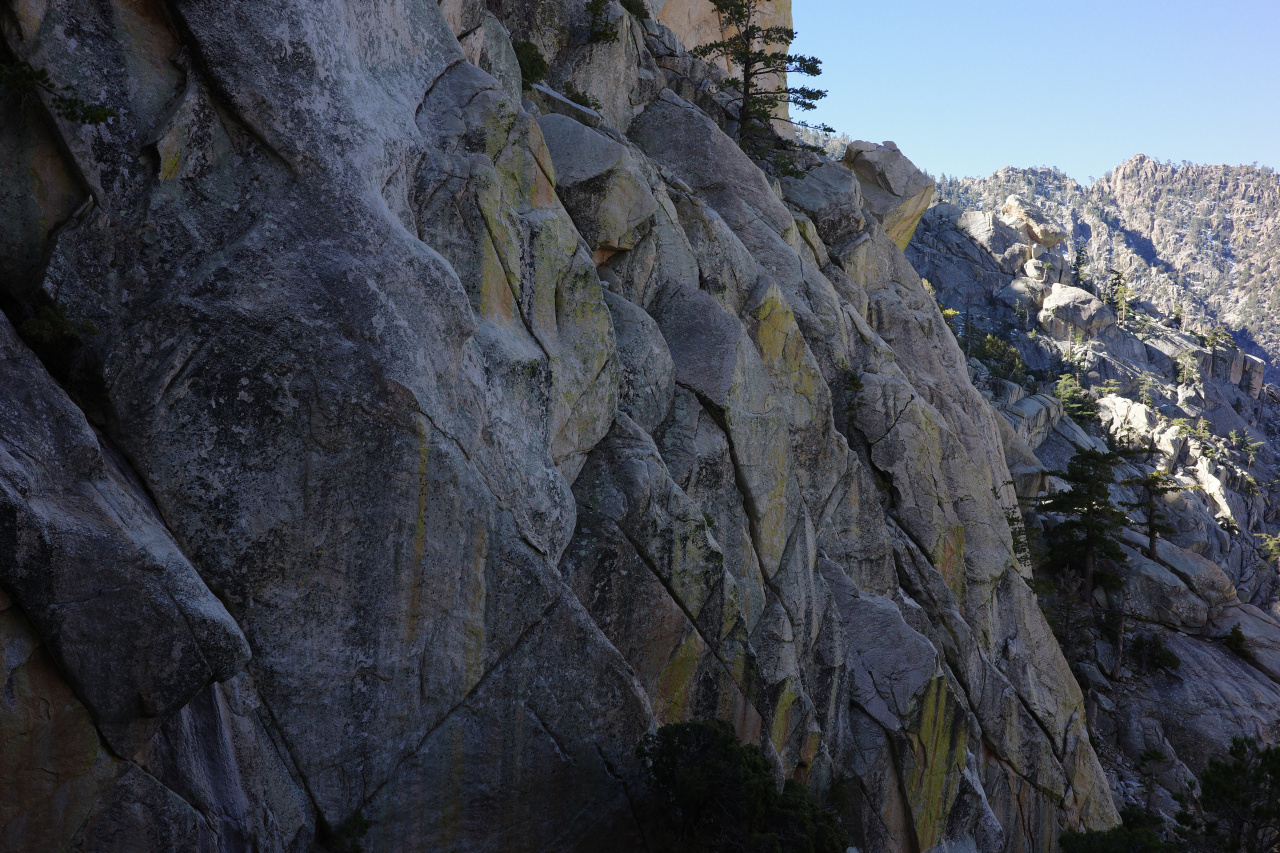
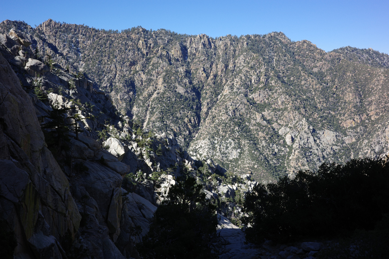
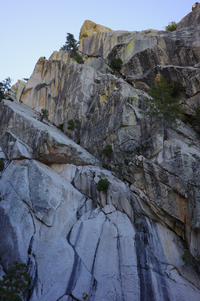
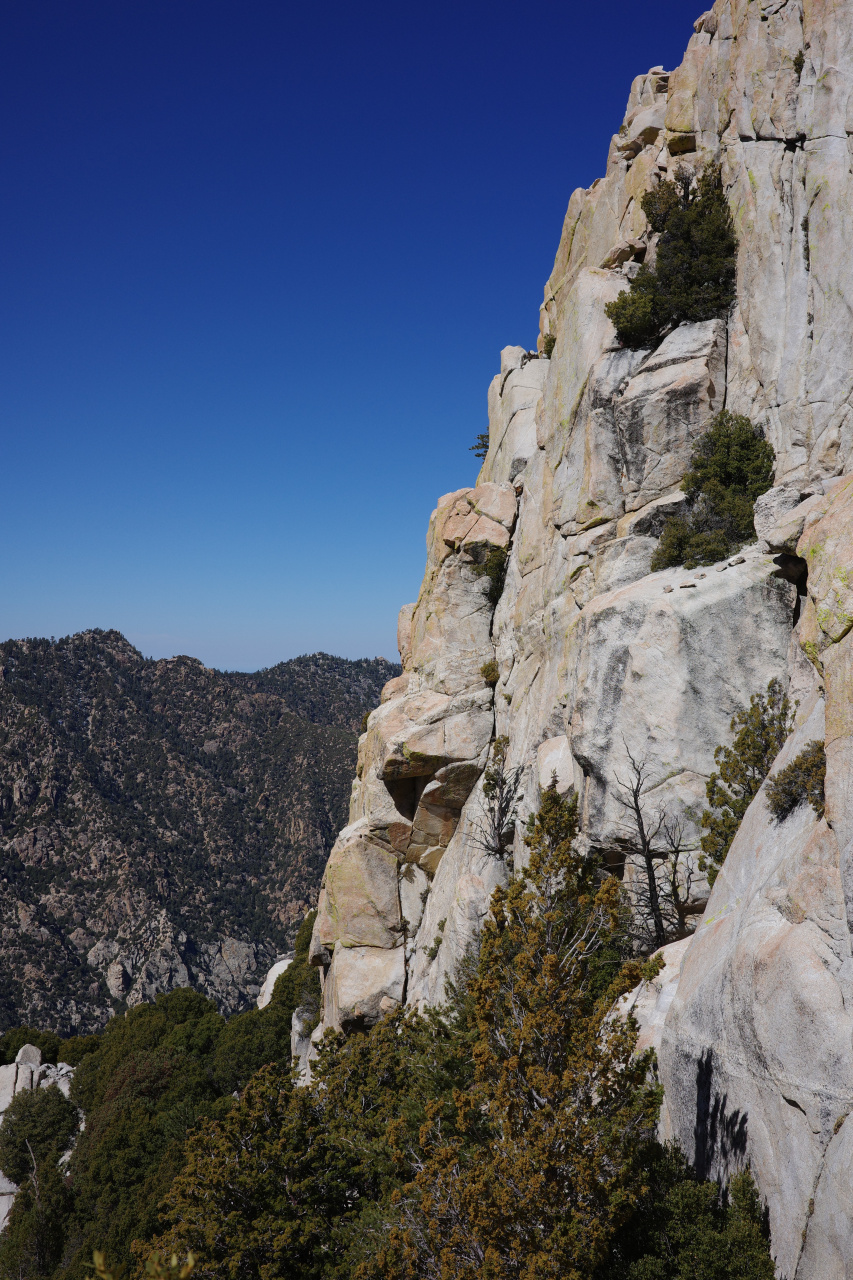
Approaching the top, you get to "wall street", a steep corner of flat slabs
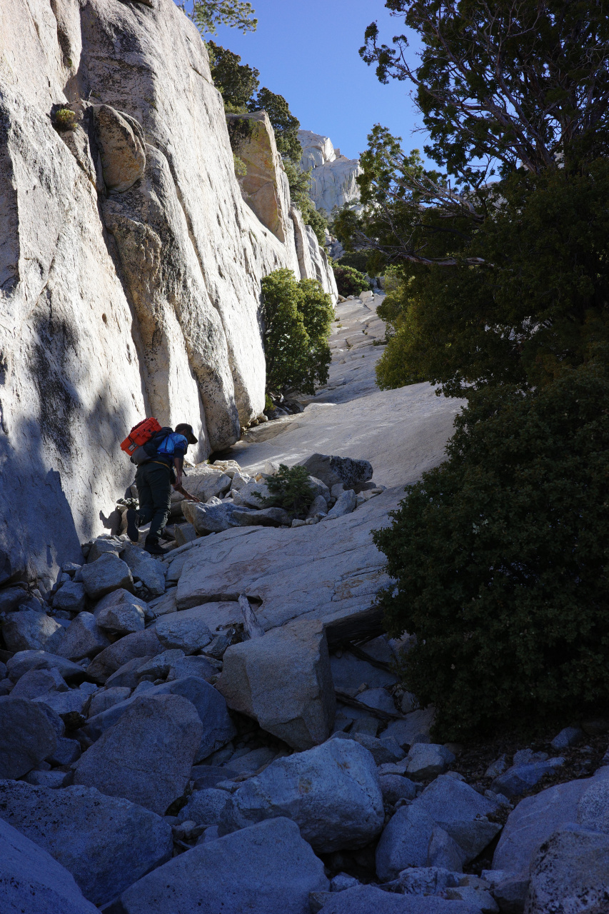
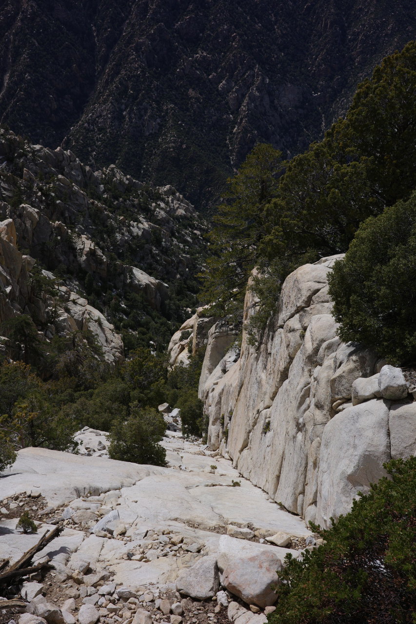
It steep, but not enough to require any tech equipment: grippy shoes and holding onto the wall is fine. Eventually you can see the secondary summit and the gnarly ridge between the two summits:
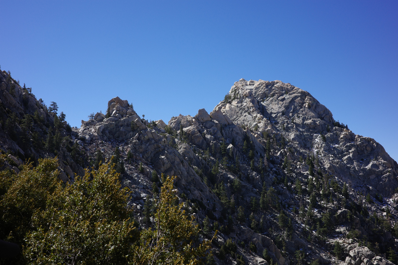
And after some more climbing
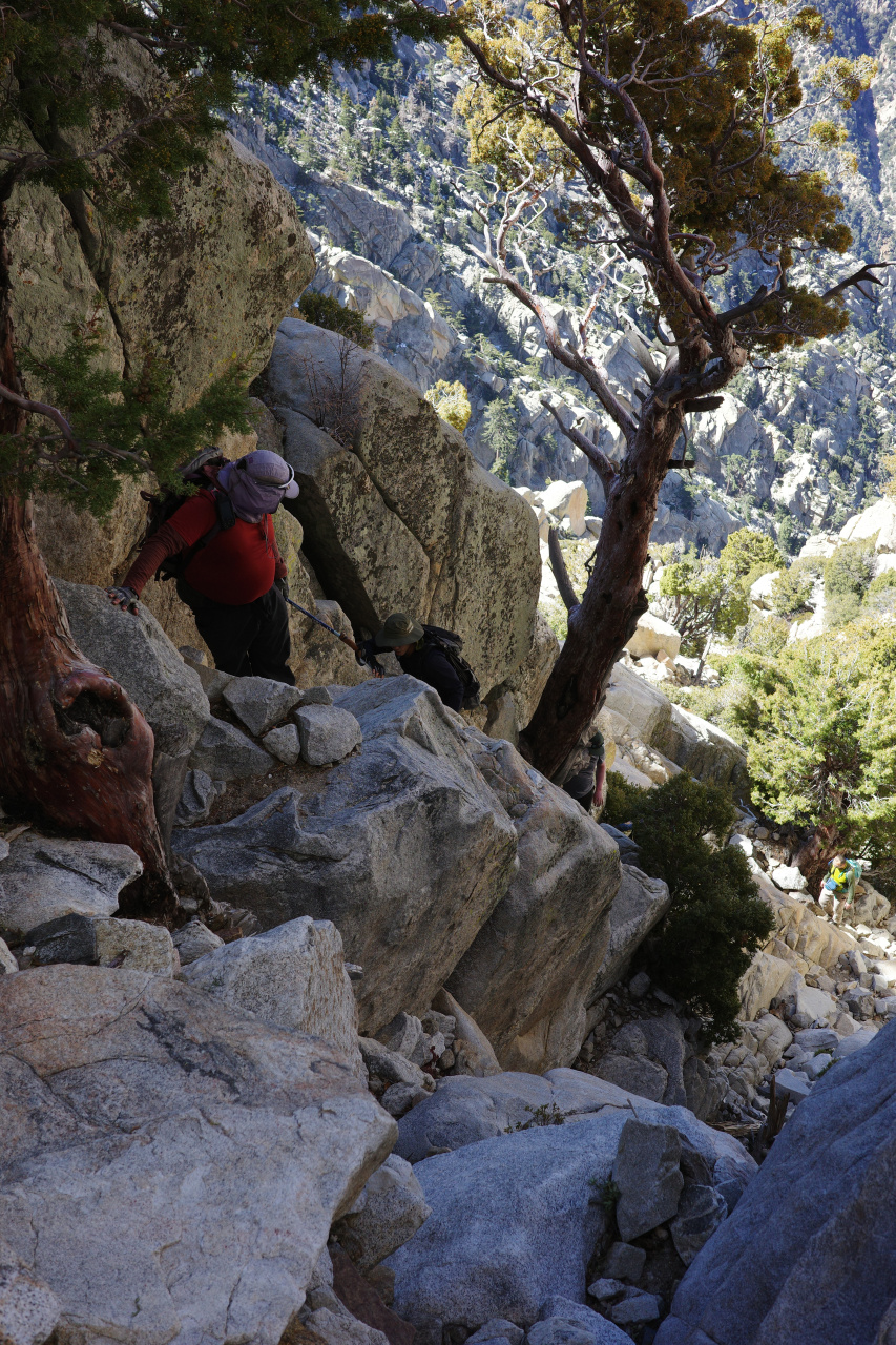
you're on top at 10200ft!
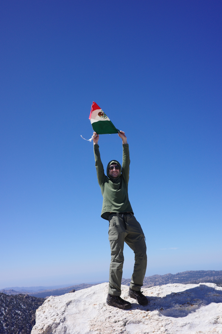
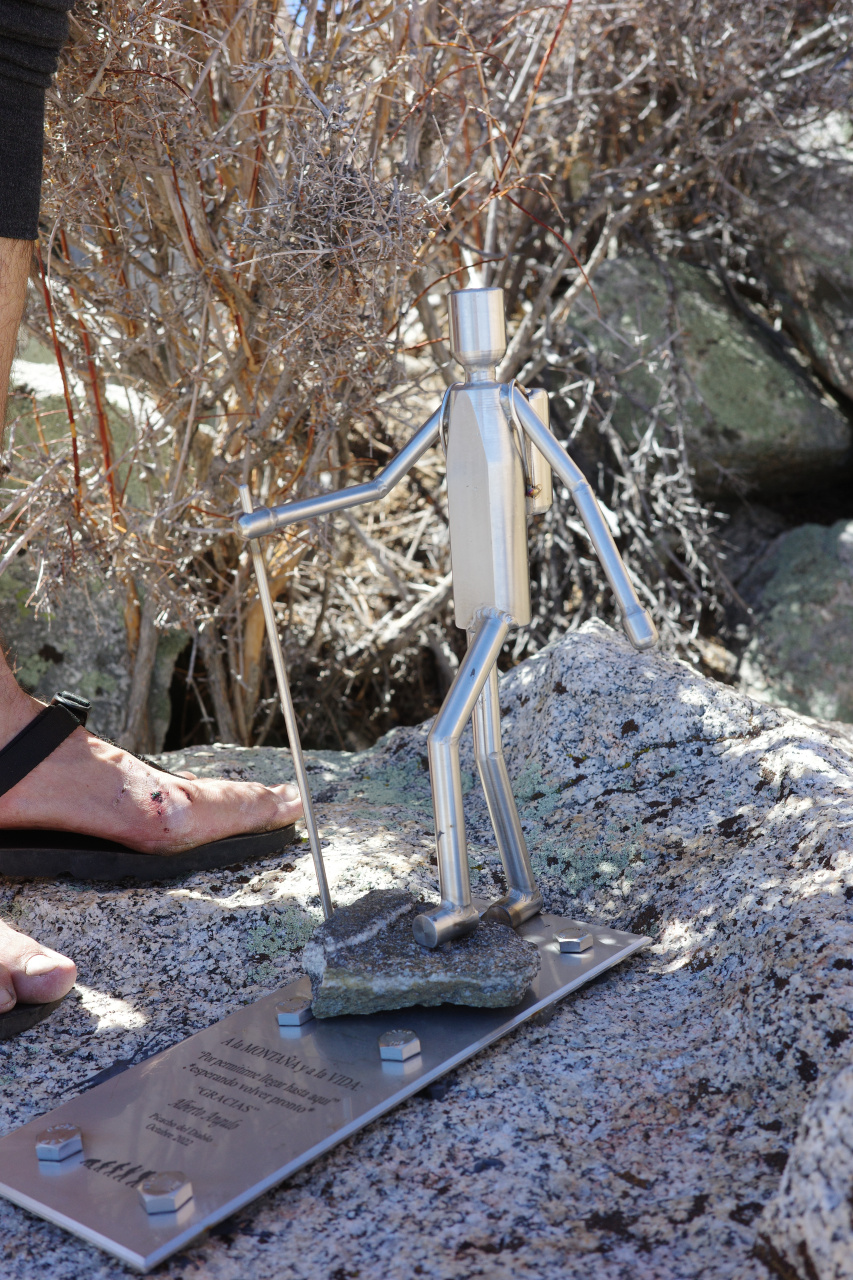
There's a very civilized register full of names, listing the various records of people climbing quickly or prolifically from various directions. It was real nice to see that 99% of the entries were Mexican.
Cool views from above. The observatory:
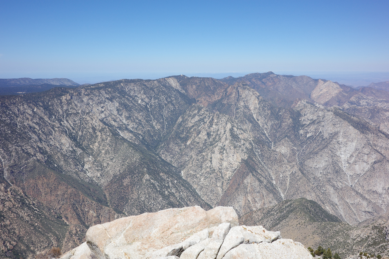
The previous day's approach:
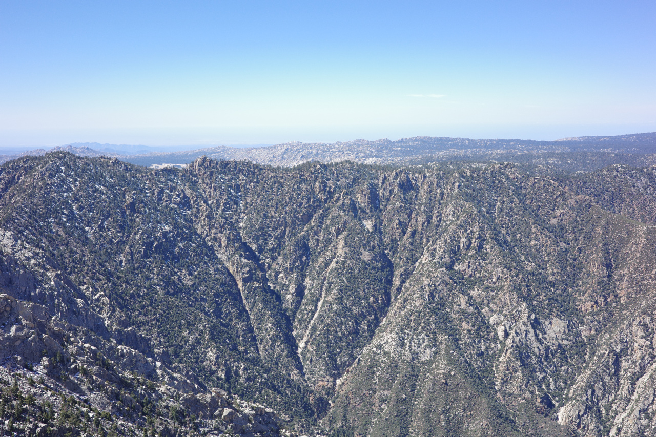
The saddle we crossed is towards the left, and you can see why we traversed to the left from the saddle, instead of dropping straight down.
The secondary summit:
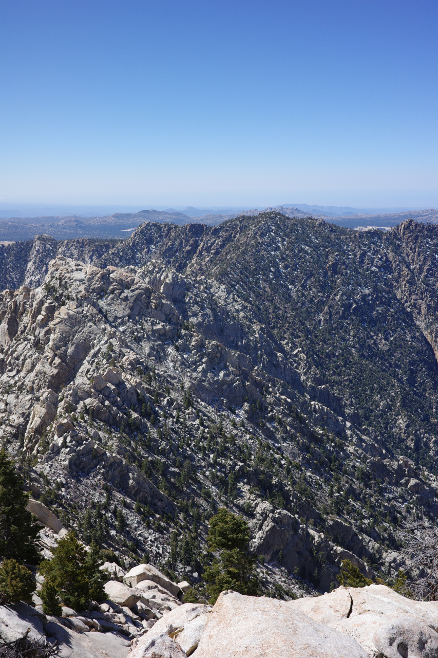
No, this isn't San Jacinto because Palm Springs isn't there:
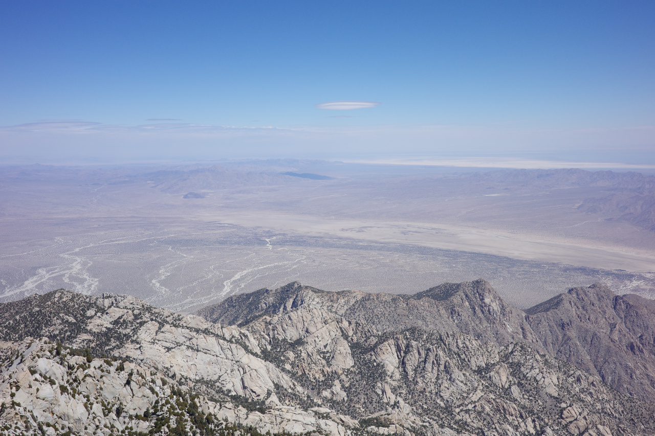
We hung out for a bit, and went back the same way, returning a bit before sunset.
Exit
We approached, and we summited, so now we're almost done, right? Wrong! Now we follow the canyon out. This is all downhill, but it's also trail-less and very rugged.
We left a bit after sunrise at Campo Noche:
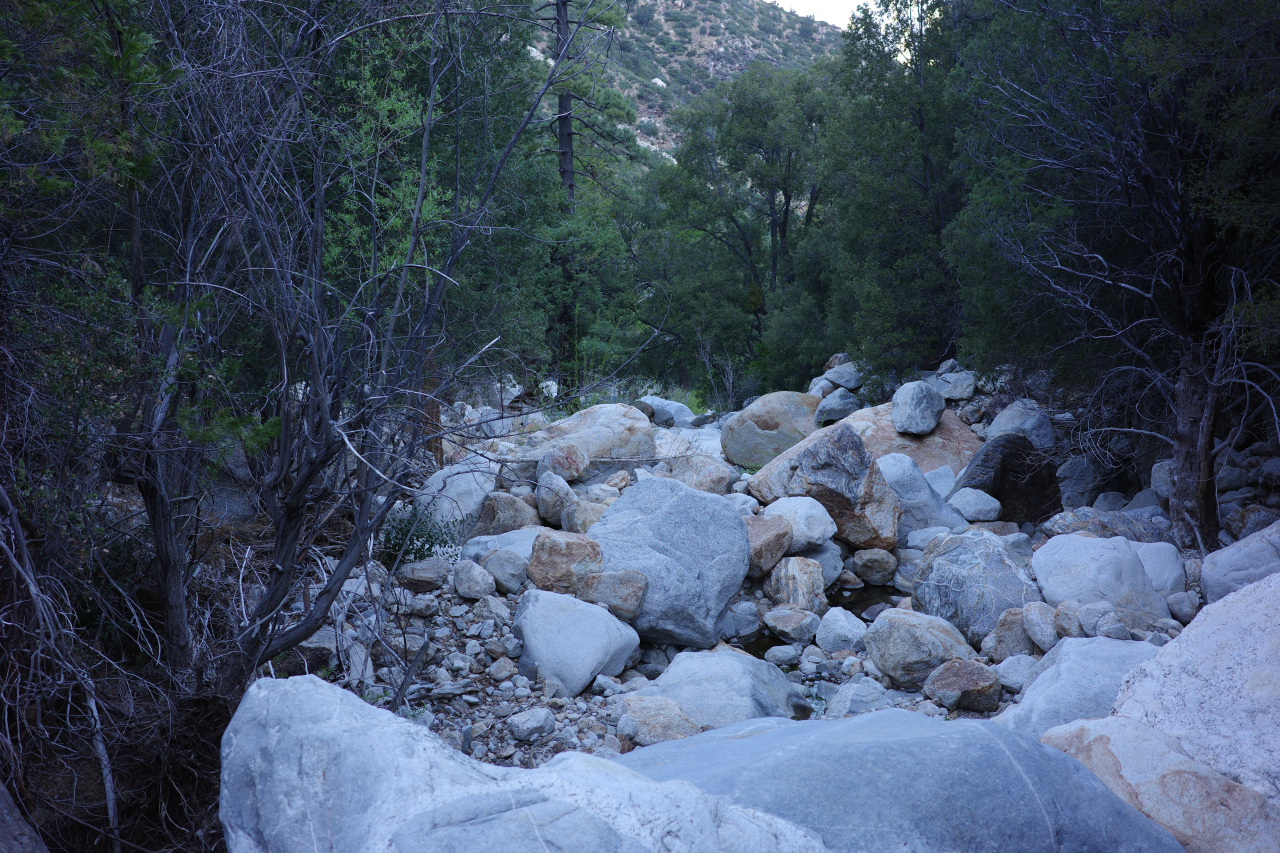
As you descend, the trees become more sparse
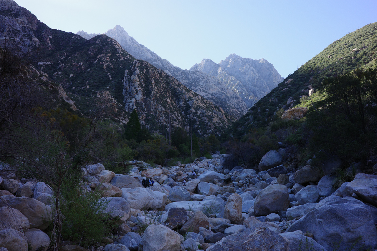
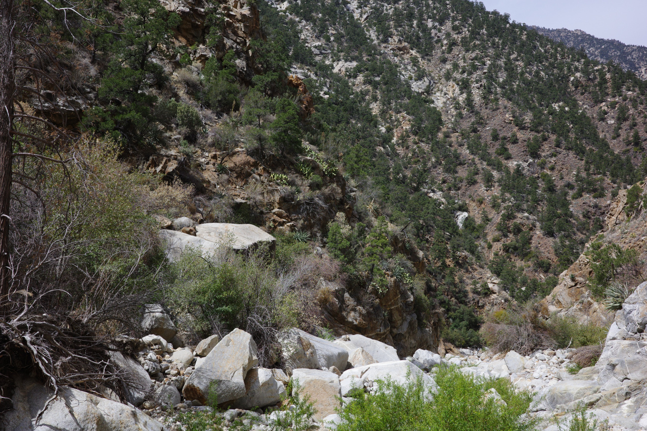
This place is cool
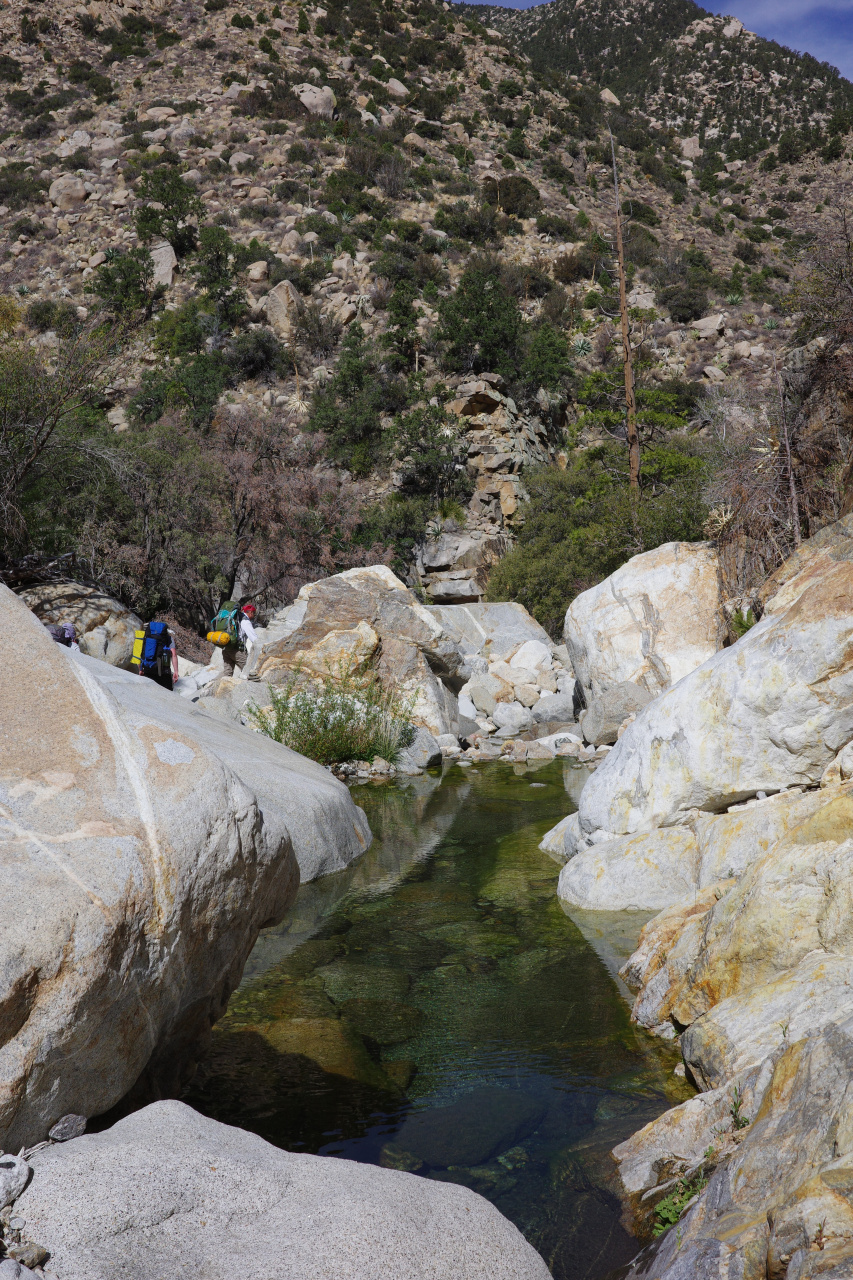
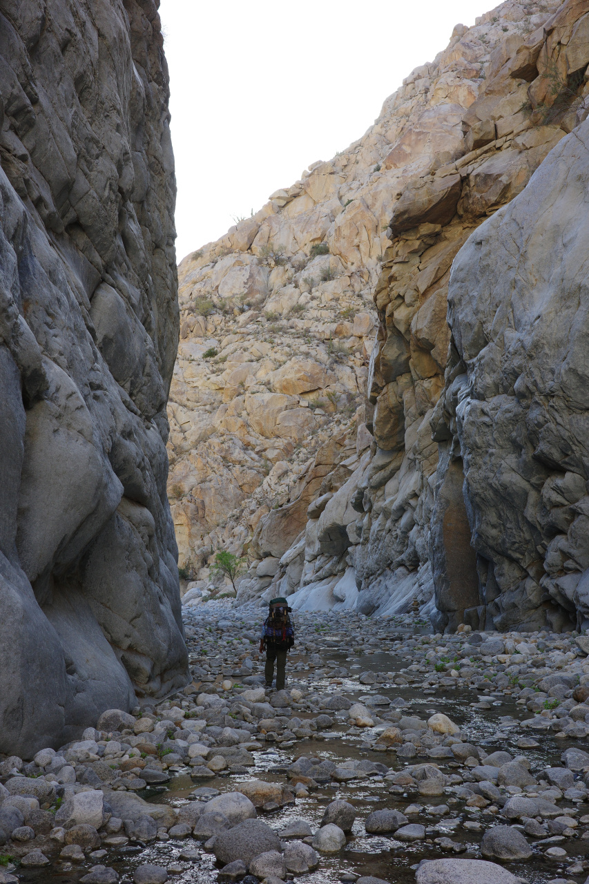
We passed pool after pool after pool after pool. A SMALL sampling:
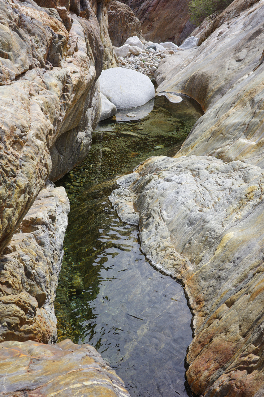
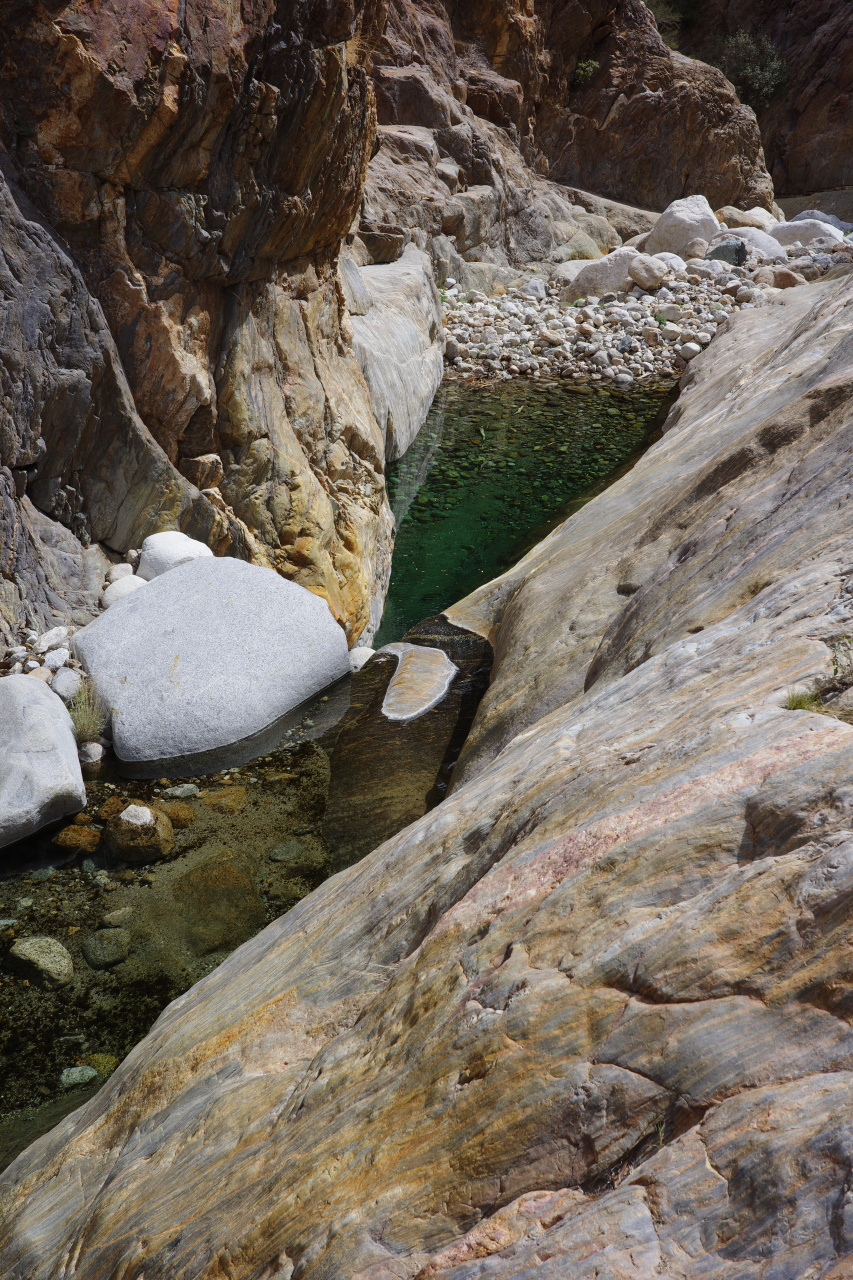
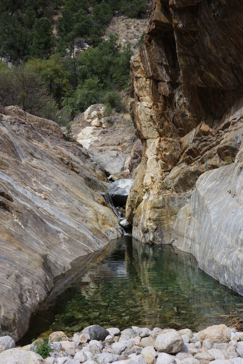
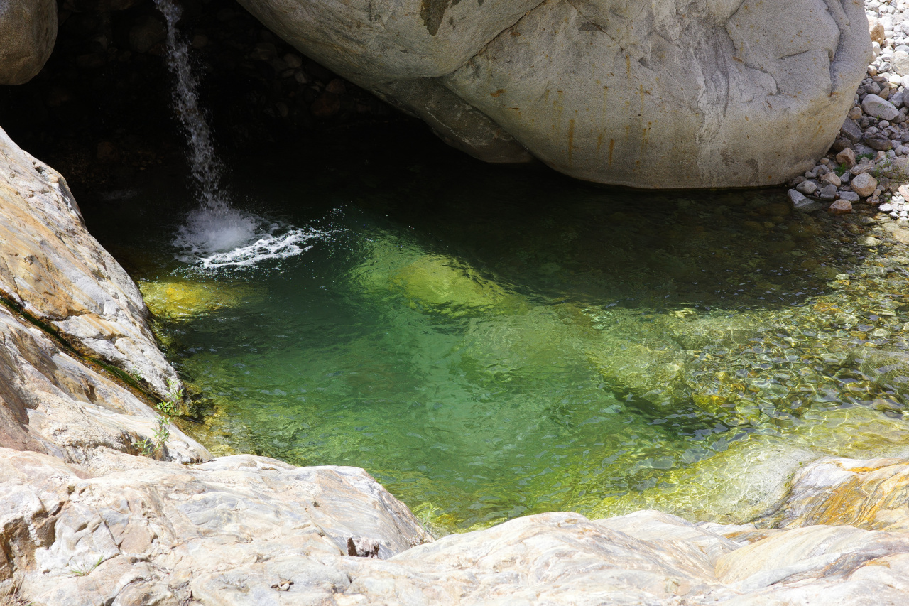
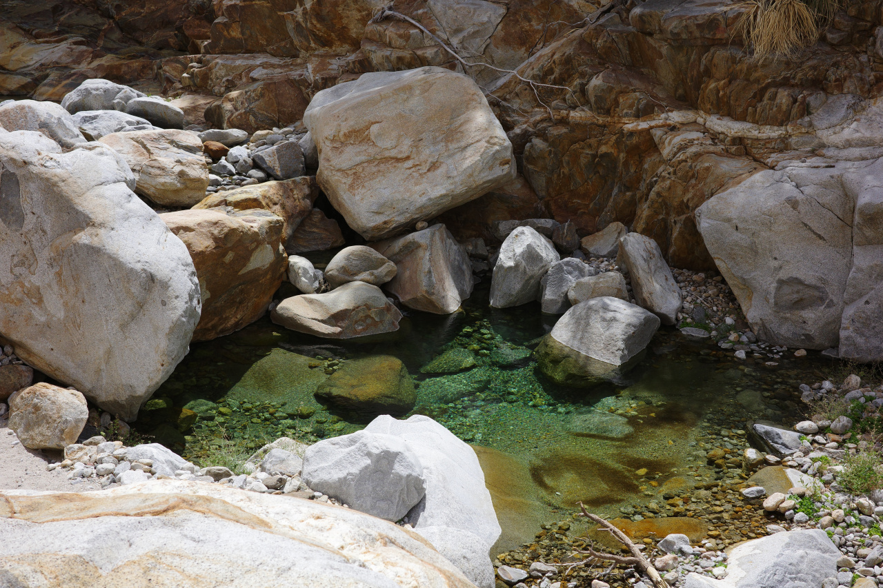
Some people enjoyed this more than others
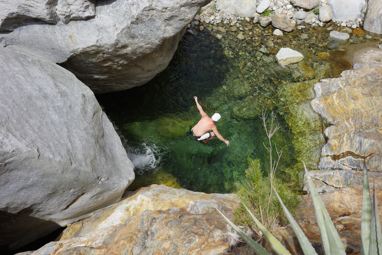
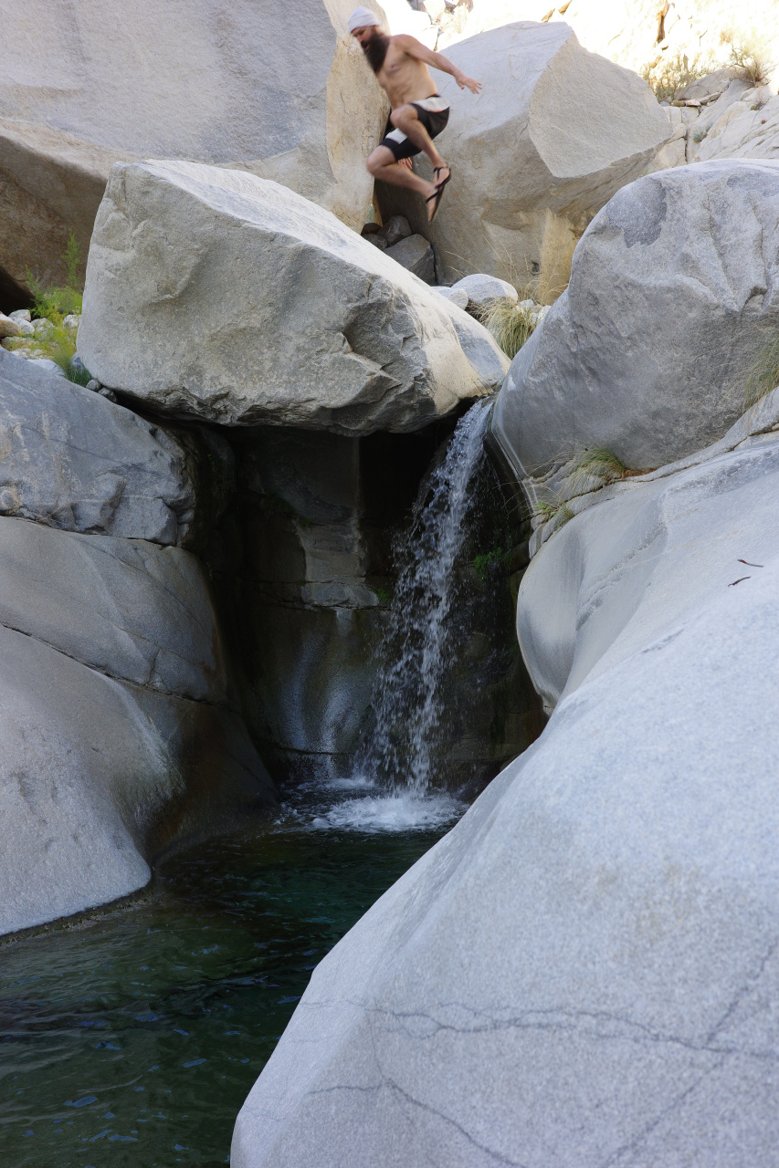
It's rugged, with lots of scrambling and downclimbs; progress isn't quick. There's a LONG narrows section in the middle with many narrow bypasses just above the water.
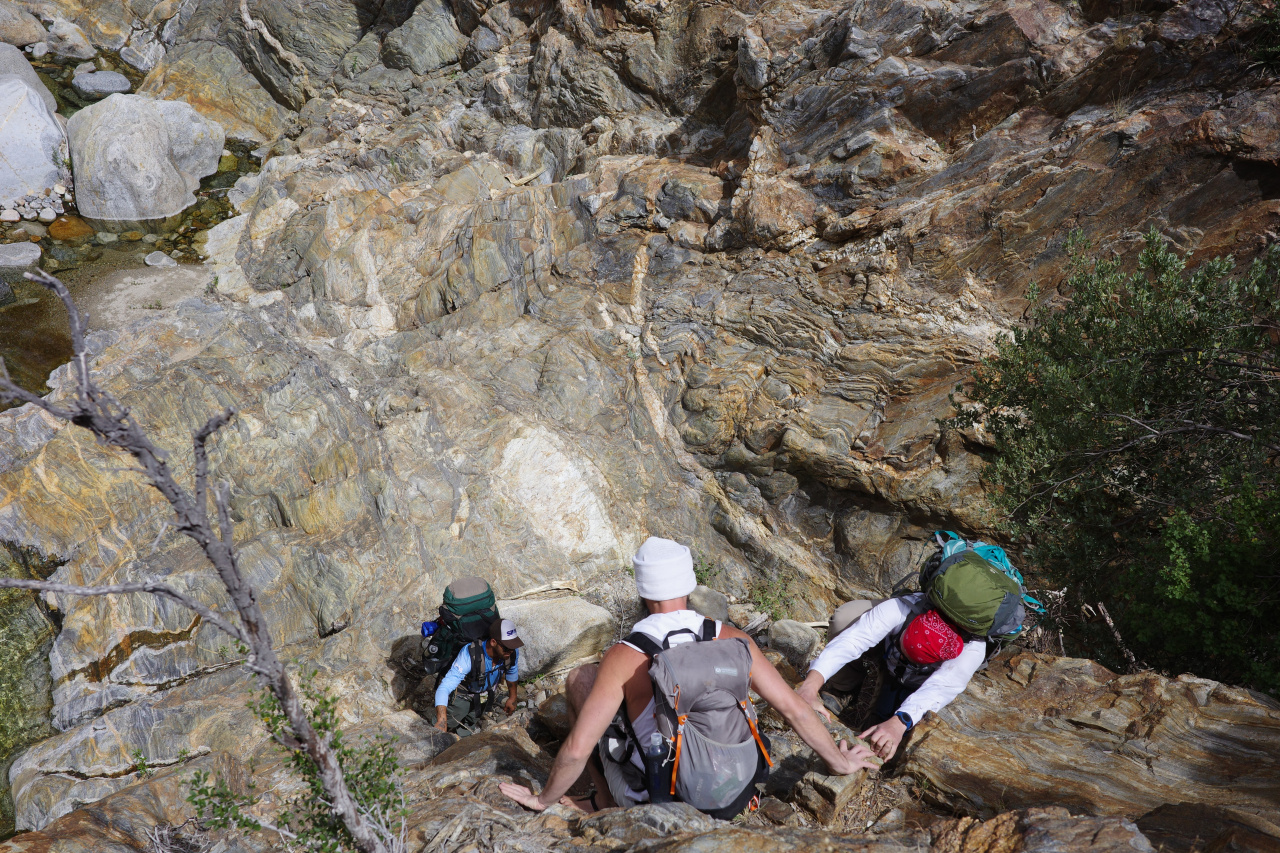
Eventually it opened up a bit, with some sandy banks here and there.
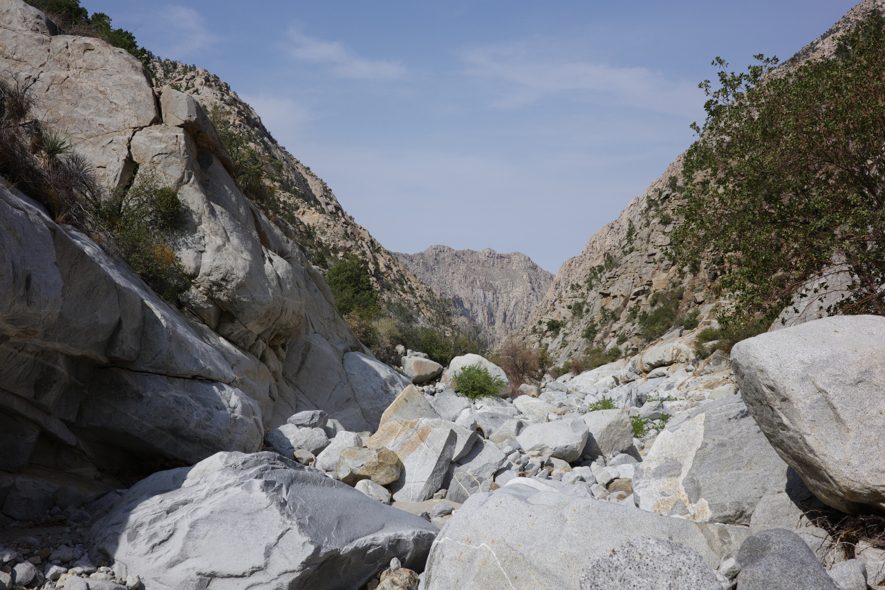

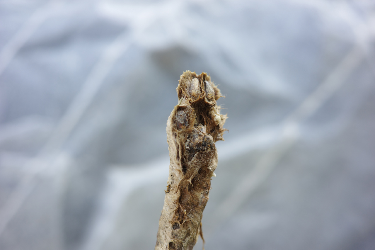
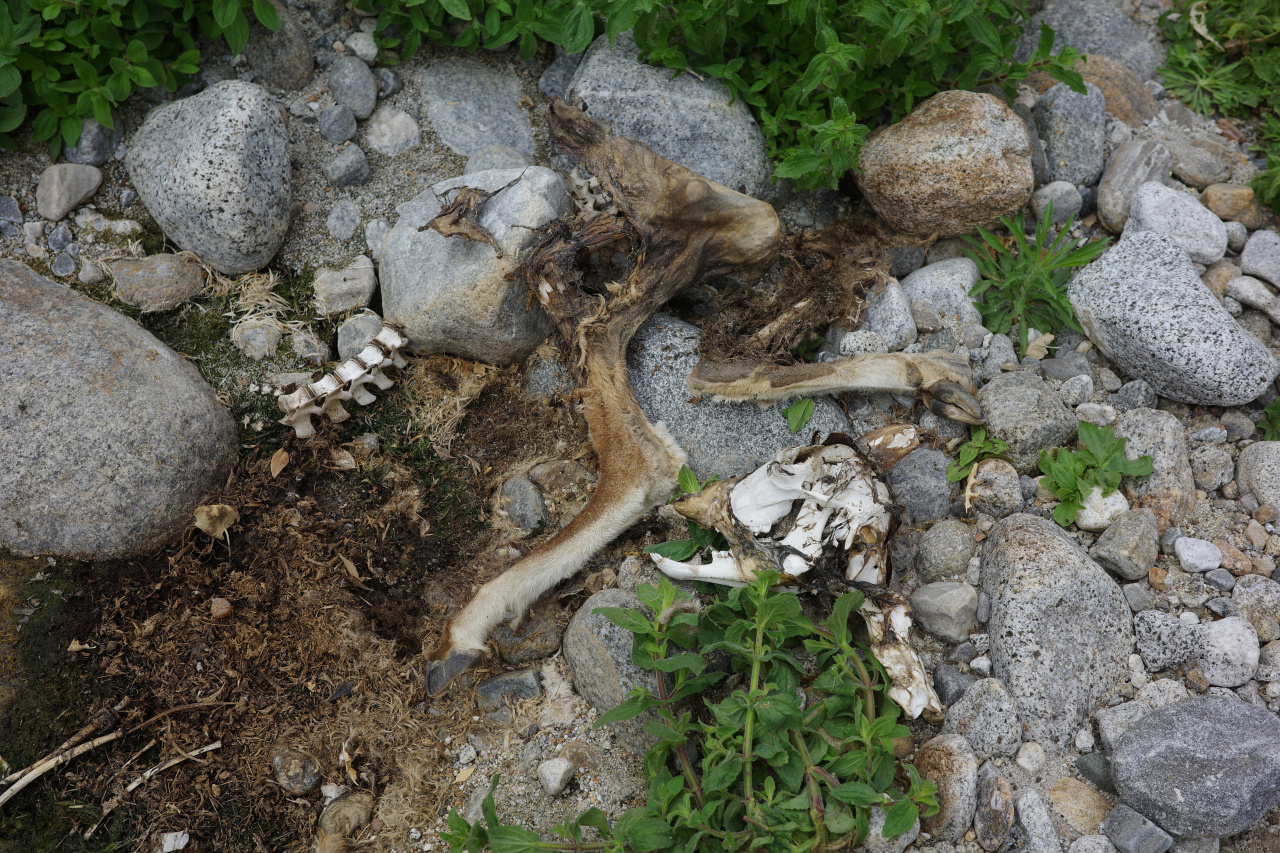
I found a lucky bobcat foot

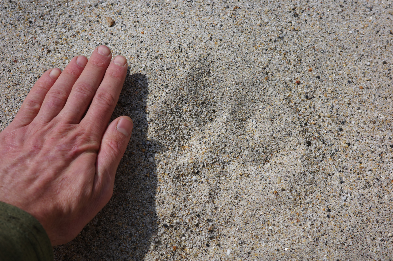
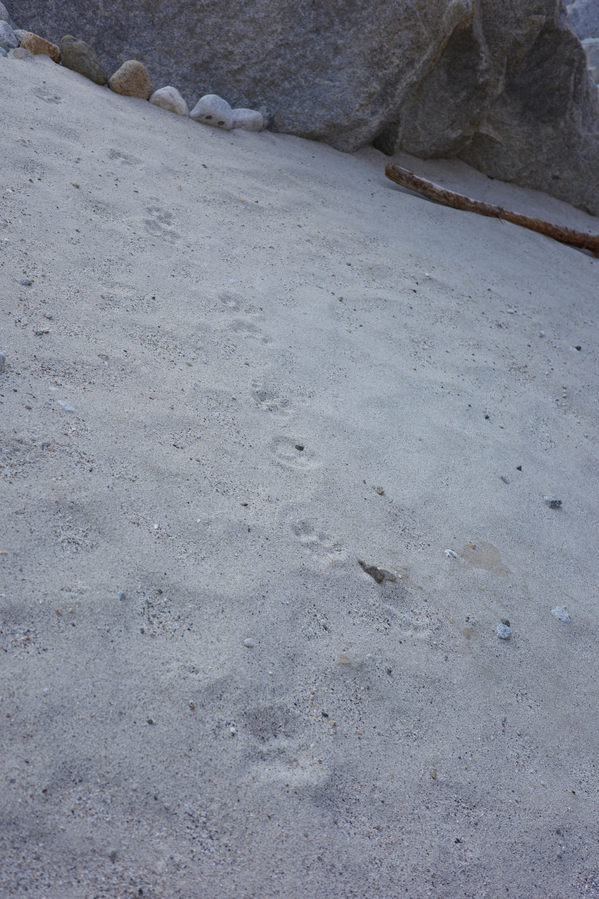
But at this point we were clearly following some bighorn and mountain lions
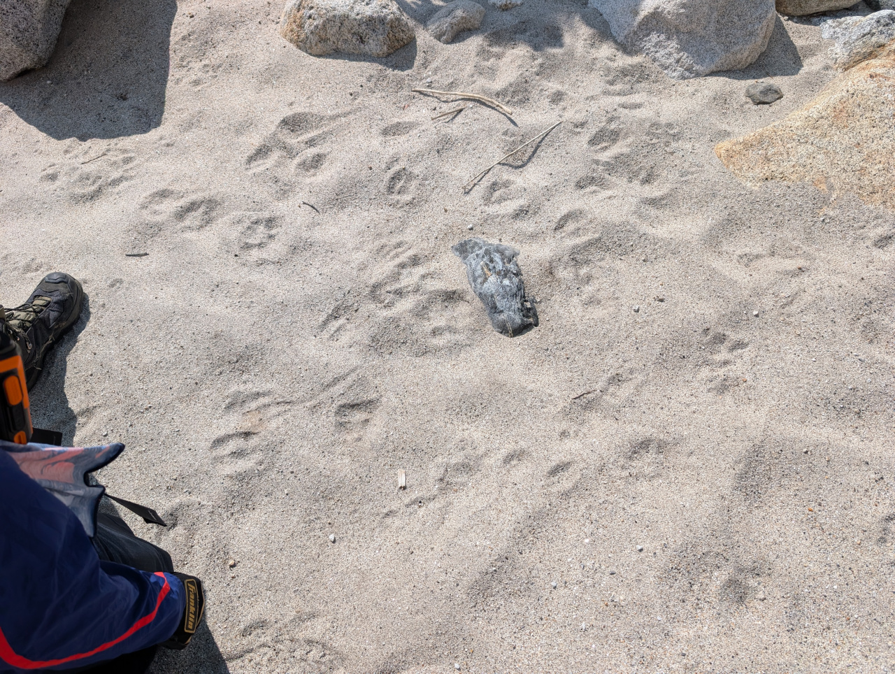
Eventually the mountain lion caught up
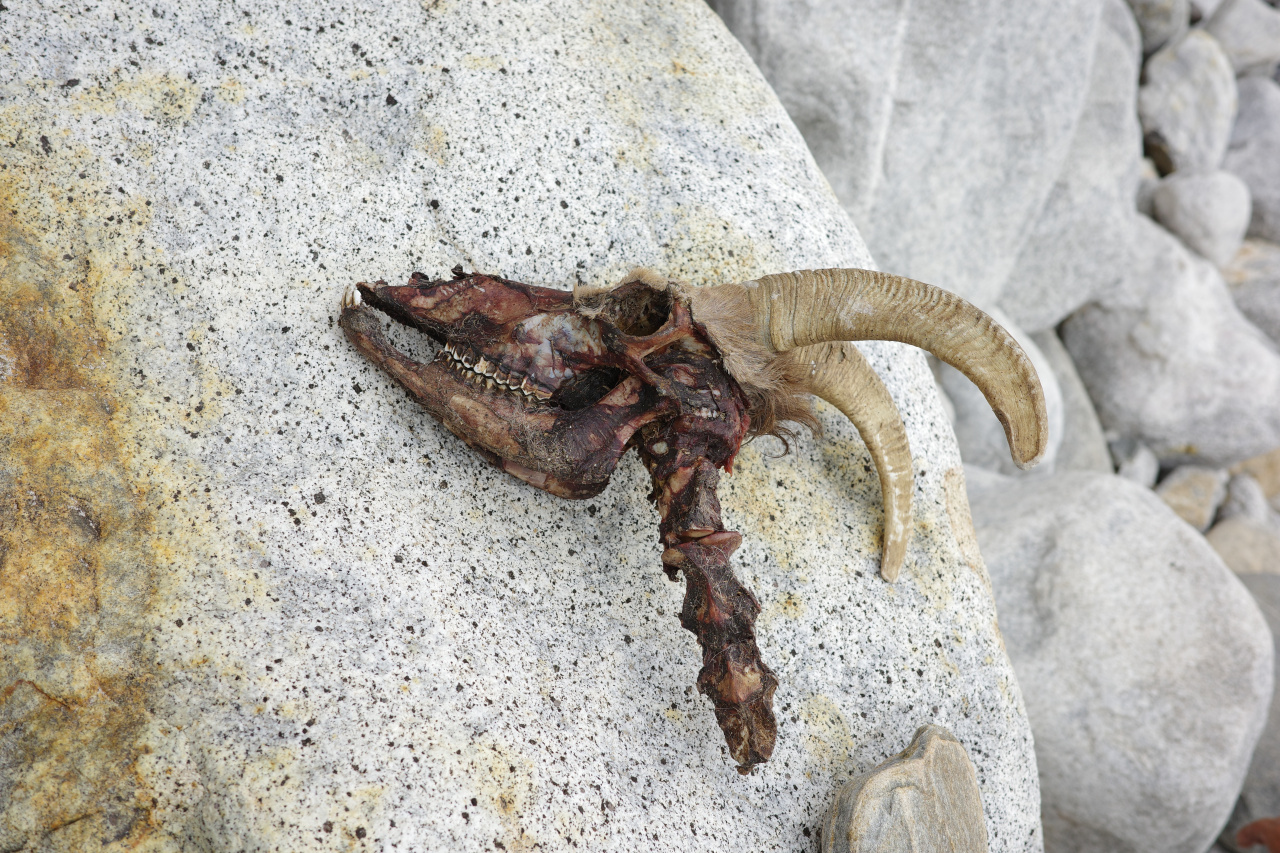
This apparently happened a few weeks before as well
After 9.7 miles at 2800ft we finally had enough, and set up camp for the night
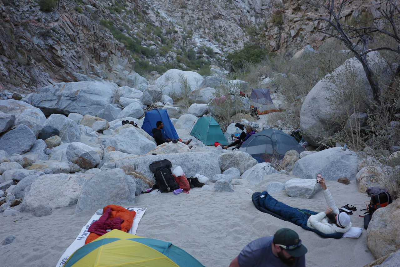
After a starry night, we set out right after sunrise again. The canyon narrowed once again. We found a cave that the critters really like, and went through
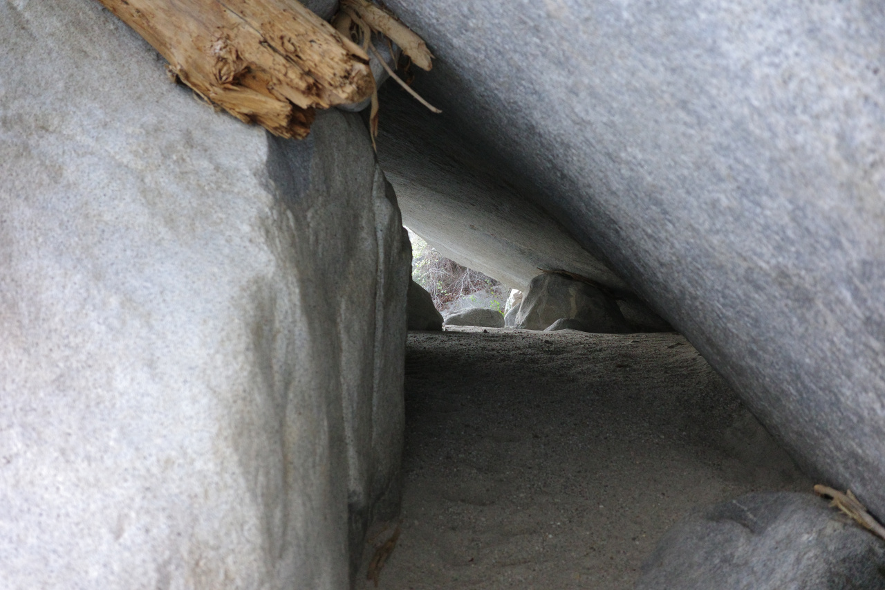
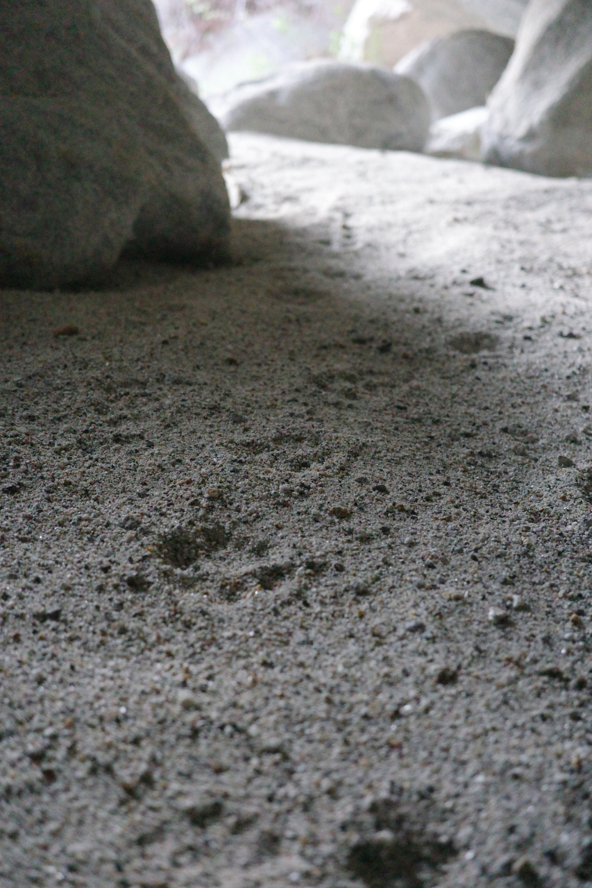
Apparently this is often clogged by sand. And if it is, you downclimb this rope instead
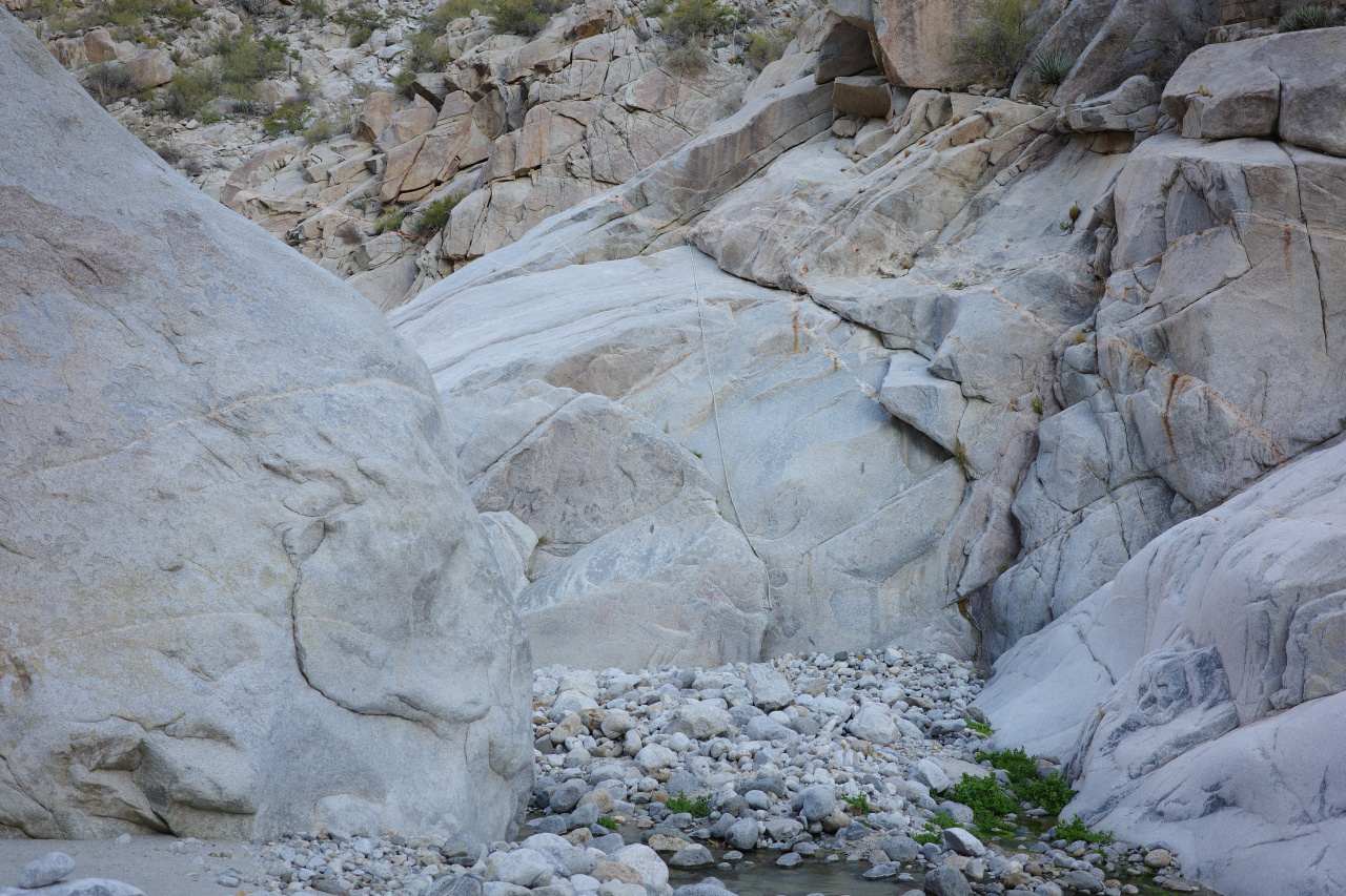
We climbed up
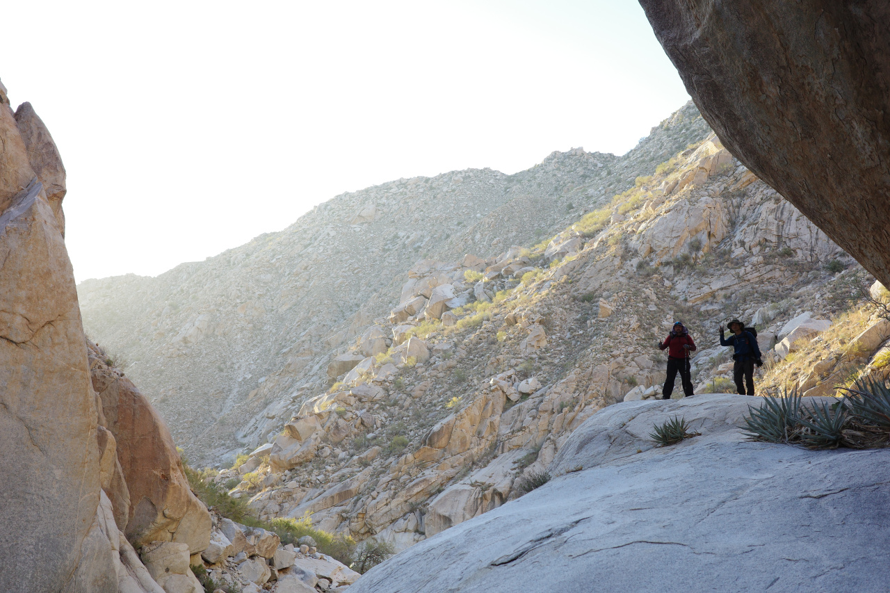
to bypass this
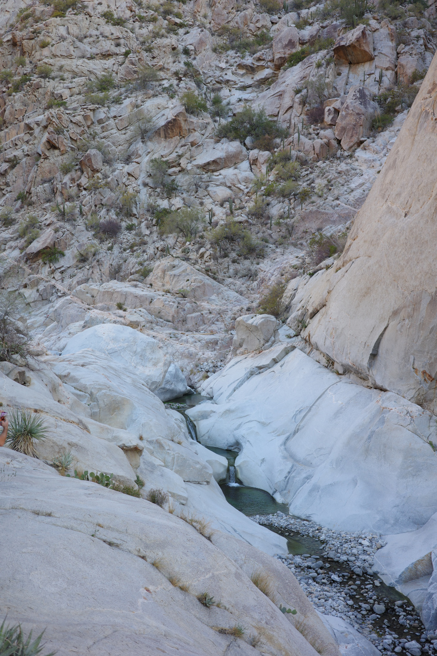
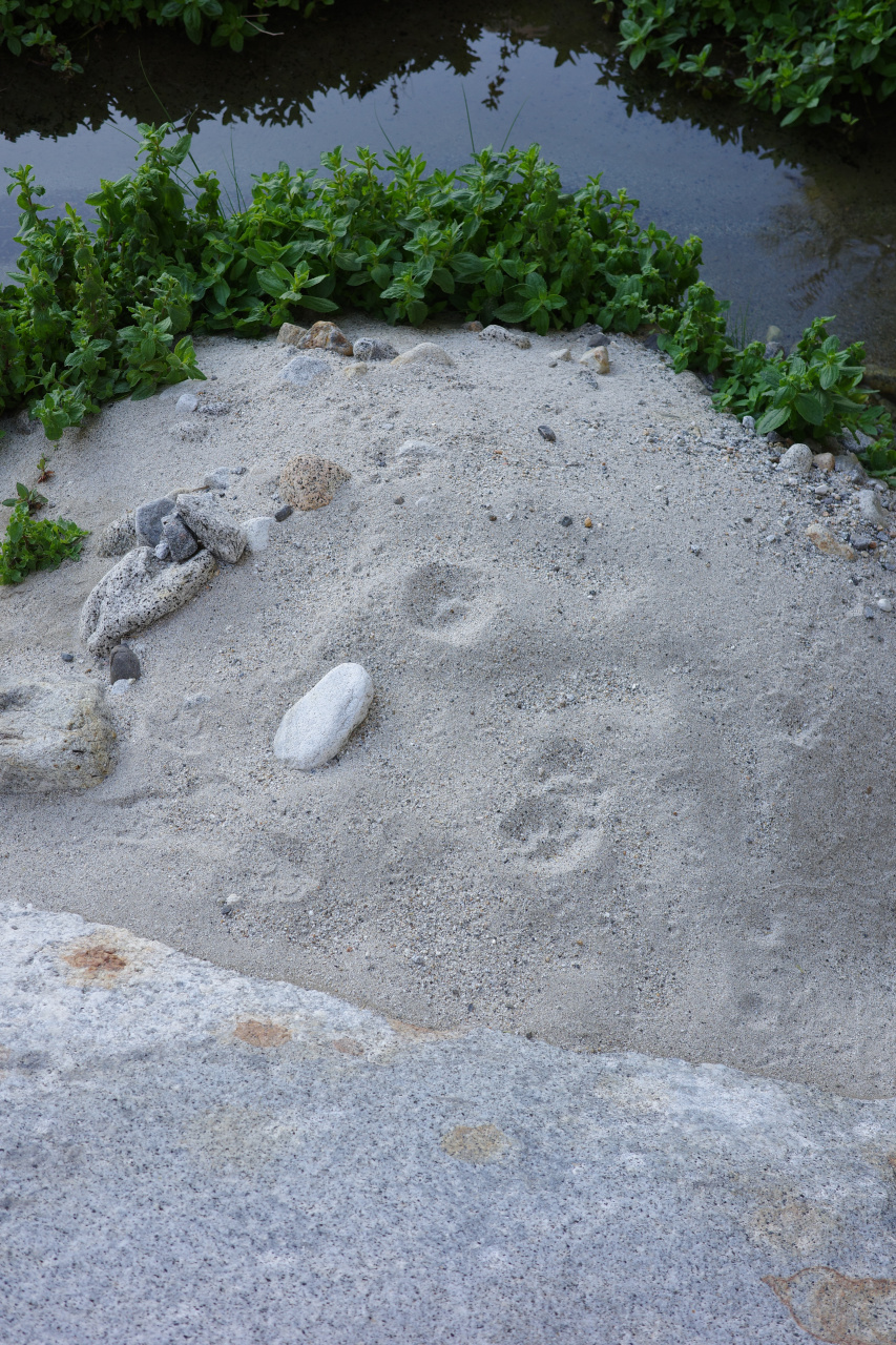
The lions like this place too
We're now approaching the exit, and the most technical obstacles are here. First off, a cable ladder is here to aid a long downclimb. One of the cables is broken, and the other one is hanging on a bolt that is past its prime
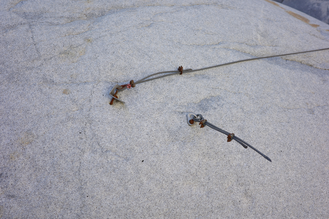
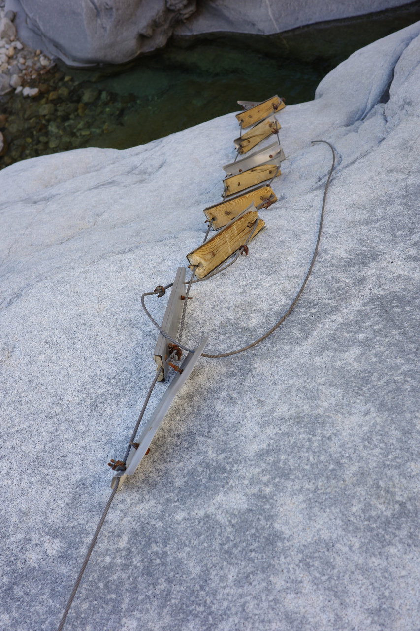
If you fall, you go swimming
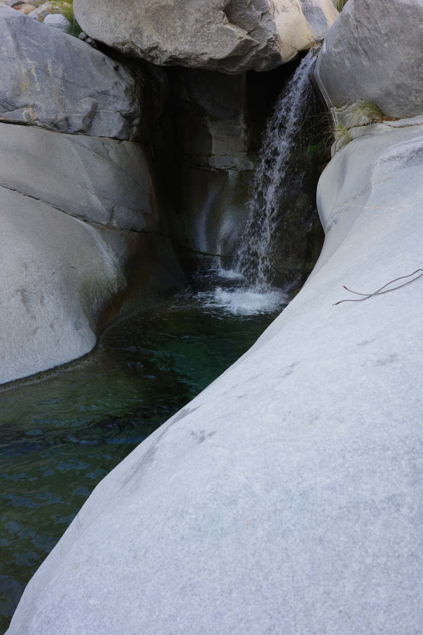
Onwards
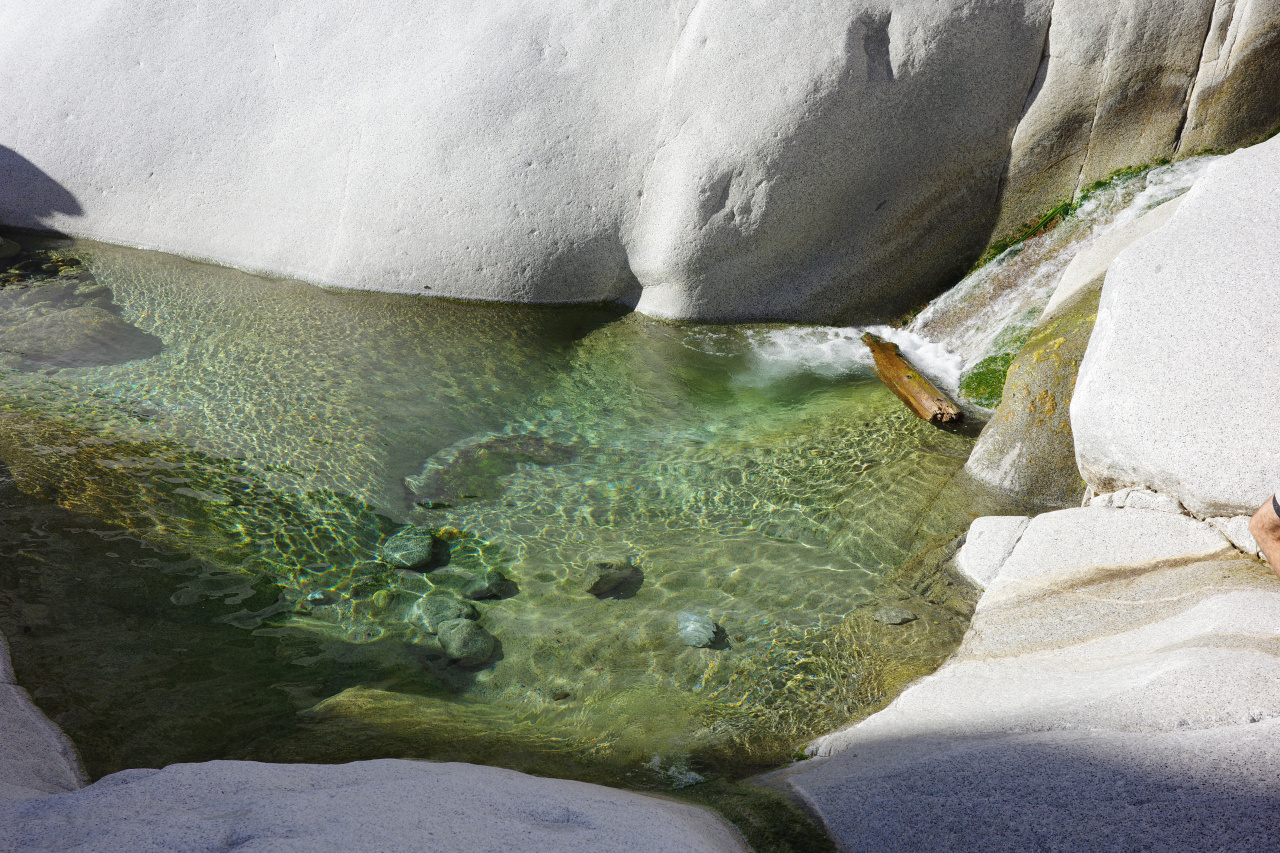
You get to a sheer-walled pool with a fixed cable to aid the traverse across to a ledge. Looks like this from the bottom:
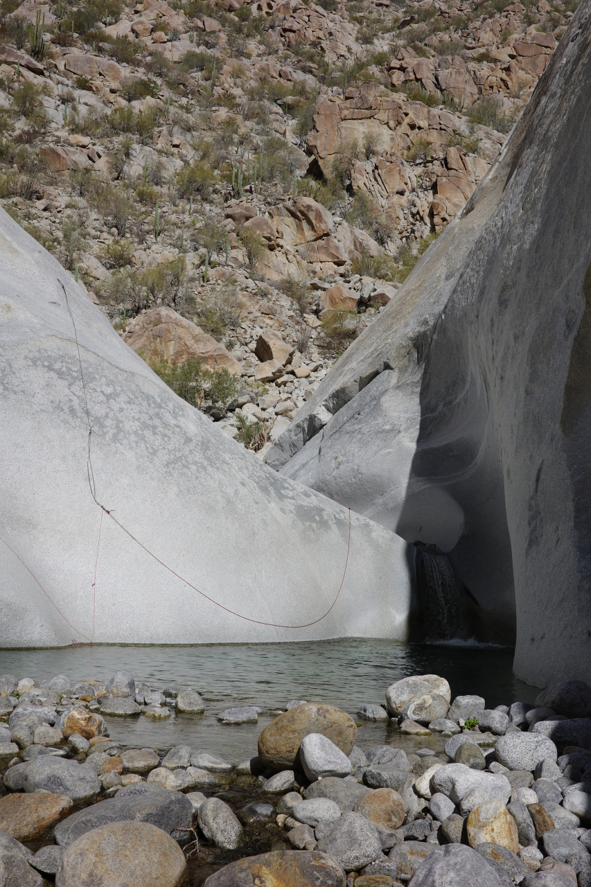
The non-load-bearing side (used primarily to pull the cable back for the next person) is fixed with a rock anchor
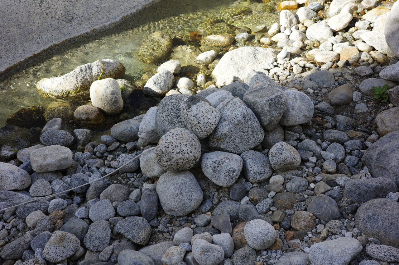
and consists of 3 different ropes, one of the knots holding a pulled-out bolt for some reason.
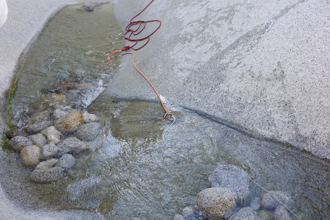
This works well enough
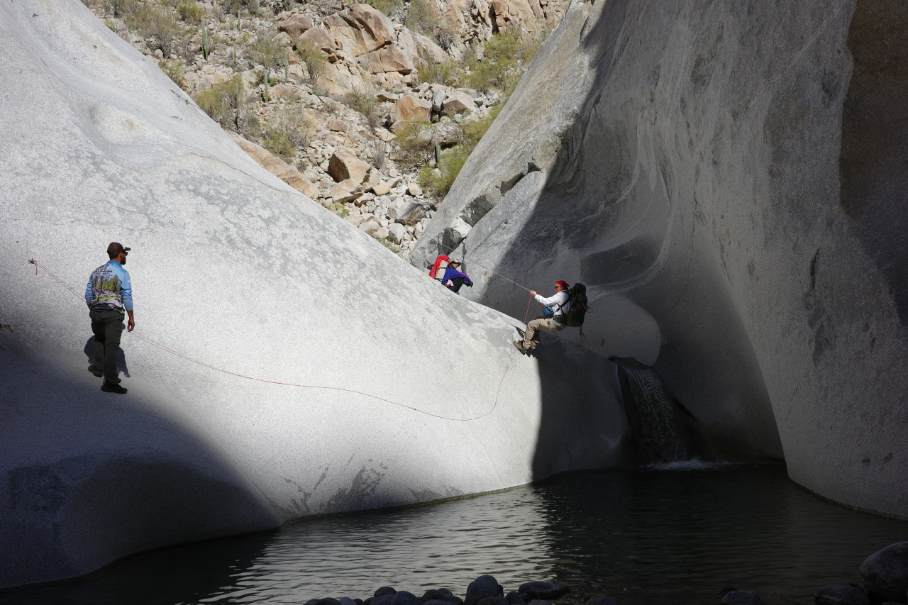
as long as you maintain your speed.
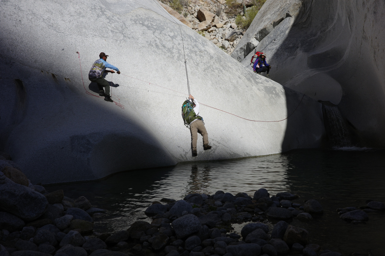
We tried to pull him across
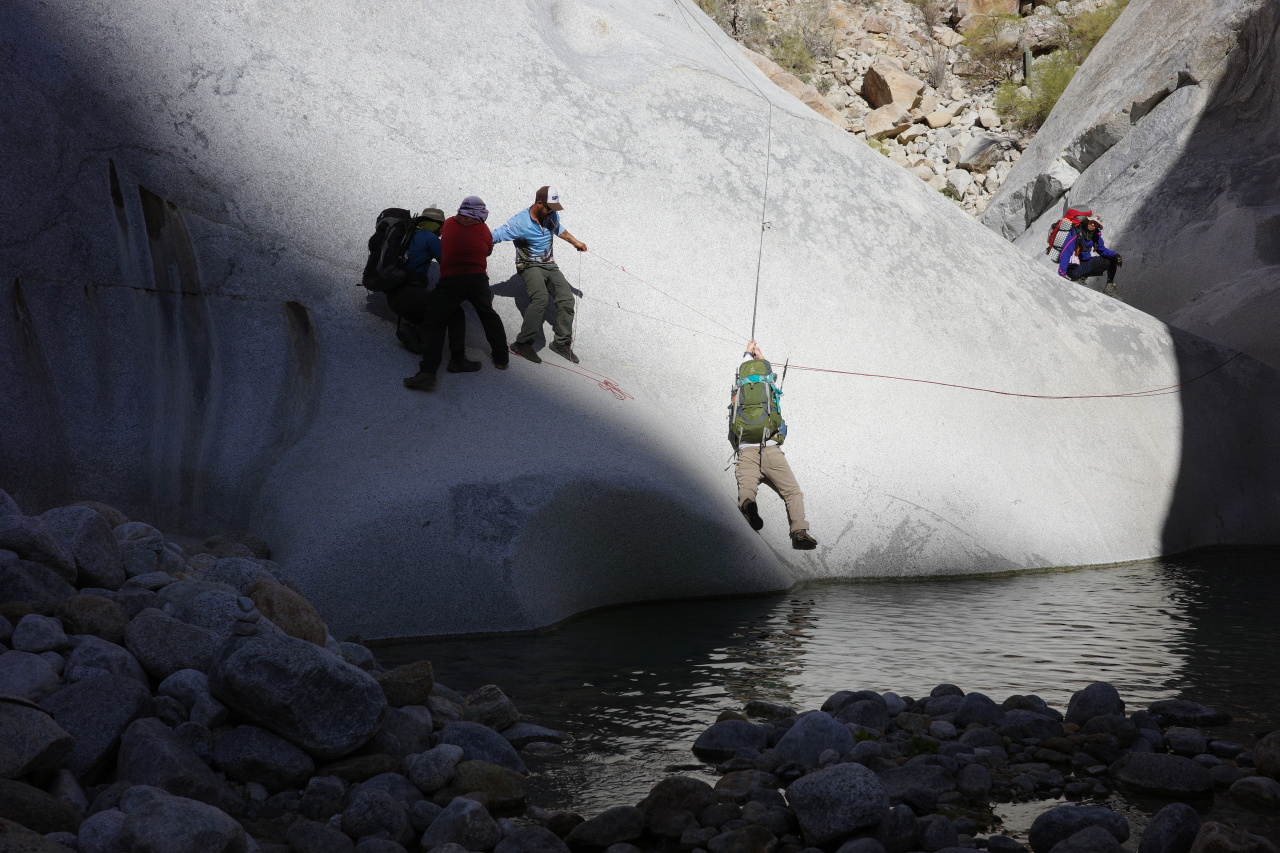
But it wasn't enough, and he went swimming.
And after a few more pools, you're out!
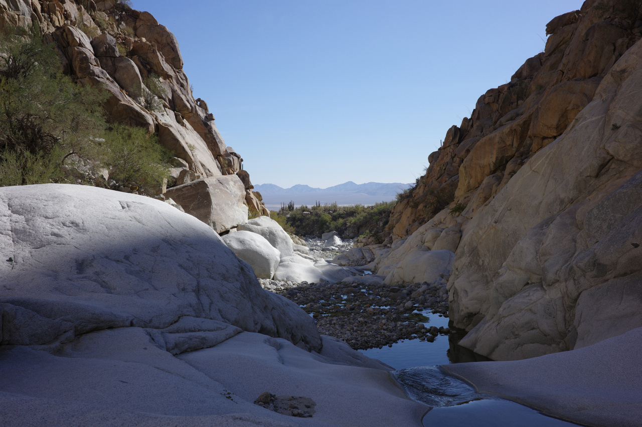
The native americans knew about this canyon, and there're lots of petroglyphs here (click, and look at the center of the image)
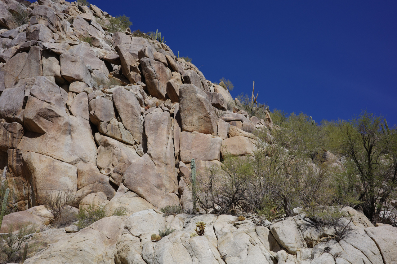
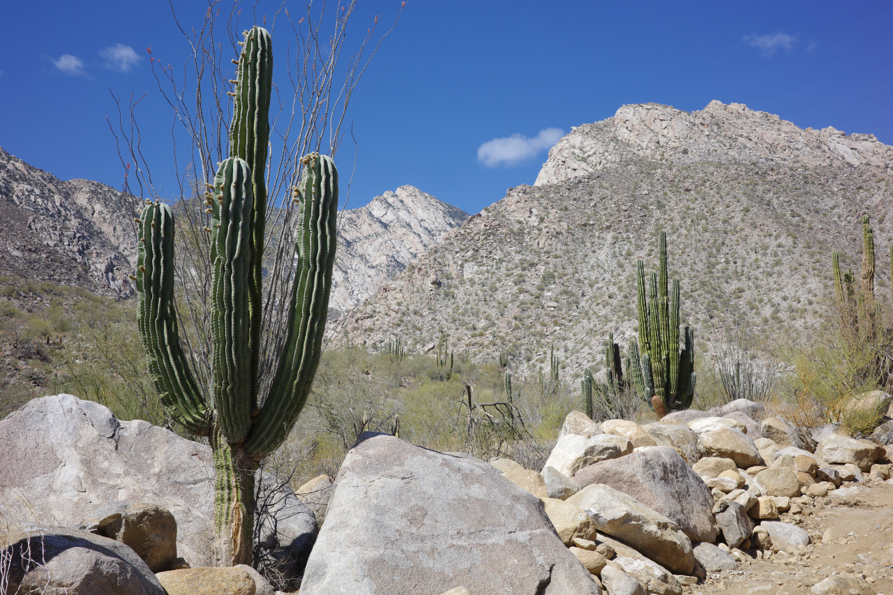
Now we were home free. After a walk in the desert
we found the van, and were whisked away to tacos and, eventually, the border.
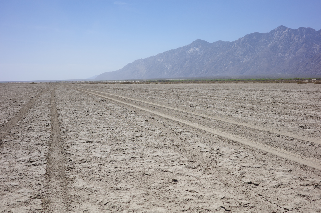
This wasn't the day hike I originally envisioned: we put in 3 full days and 1 half day. If the group was stronger, doing this in 3 days would be easy, but 2 would be very hard. Doing this on your own is relatively straightforward on the Pacific side: the drive to the park is easy and paved, and the entry fee can be paid at the ranger station at the gate. The peak and the canyon on the other side are on private land, and there's some fee that must be paid to some ranch people you drive by on the way out. And driving to the mouth of the canyon is a long, sandy road. Accessing that yourself would require more work.
This was EXCELLENT, and I cannot recommend it enough. Arturo and Jorge (from SIMA) were GREAT to hike with. The area is fantastic. Recommended!
