
Anyone have any current information on conditions in Bear Canyon from the Tom Sloane saddle to the Arroyo Seco? Wondering if its a complete thrash-fest.
Thx.
Bear Canyon Trail
-
cougarmagic

- Posts: 1411
- Joined: Wed May 07, 2008 5:21 pm
I haven't been there in a couple of years, though I did go through post Station Fire. Based on conditions in Arroyo Seco right now, I'd guess thrash-fest with walking in the streambed better than trying to follow the old trail. It's still one of the most beautiful places in the SGs, so if you like a good adventure, I'd say go for it. It won't be completely impassable.
-
Uncle Rico

- Posts: 1481
- Joined: Thu Mar 20, 2008 7:48 pm
Sean, teke, Cecelia, Henry and I made an exploratory of Bear Canyon yesterday. Cucamonga Man has been tasked with putting together a TR, but here's the Reader's Digest version of conditions in Bear Canyon.
From Tom Sloane saddle to the ruins where the trail hits the canyon bottom, the path is in good shape. No problems. From the ruins to Bear Canyon camp it's a much more difficult proposition. Lots of stream crossings and picking your way through the over-growth and deadfall. That having been said, someone has been through the canyon very recently and has trimmed back the foliage which was very helpful. They or someone else has also strung pink and red tape along the course so route-finding really wasn't that difficult. From Bear Canyon camp to the Arroyo Seco the path is in fair shape. The trail in mostly intact, but there are a few stream-crossings and other obstacles to navigate. Those obstacles didn't dissuade the 20 or so other folks that greeted us upon our arrival at Bear Canyon Camp. Pics forthcoming in the TR.
From Tom Sloane saddle to the ruins where the trail hits the canyon bottom, the path is in good shape. No problems. From the ruins to Bear Canyon camp it's a much more difficult proposition. Lots of stream crossings and picking your way through the over-growth and deadfall. That having been said, someone has been through the canyon very recently and has trimmed back the foliage which was very helpful. They or someone else has also strung pink and red tape along the course so route-finding really wasn't that difficult. From Bear Canyon camp to the Arroyo Seco the path is in fair shape. The trail in mostly intact, but there are a few stream-crossings and other obstacles to navigate. Those obstacles didn't dissuade the 20 or so other folks that greeted us upon our arrival at Bear Canyon Camp.
-
Sean

- Cucamonga
- Posts: 4249
- Joined: Wed Jul 27, 2011 12:32 pm
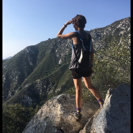
Yesterday I hiked the Bear Canyon Trail between Mt. Lowe Road and Tom Sloan Saddle. This segment is sometimes known as the Tom Sloan Saddle Trail, but I hope that name goes away, as it causes confusion with the Tom Sloan Trail.
The trail is in good shape with minimal issues, such as mild overgrowth. It appears to have been maintained within the last year or two. I thoroughly enjoyed walking down it. Baby pine trees are popping up alongside the path.
The trail is in good shape with minimal issues, such as mild overgrowth. It appears to have been maintained within the last year or two. I thoroughly enjoyed walking down it. Baby pine trees are popping up alongside the path.
You do not have the required permissions to view the files attached to this post.
-
courtney
- Posts: 37
- Joined: Tue Jun 27, 2023 11:01 pm
thanks for posting this, sean! been wanting to check out this trail and hoping to this weekend.