38th birthday Oat Mountain from the north attempt
I've had this hike on my to-do list for a while in one of my favorite areas around the San Fernando Valley: The north side of the Santa Susanna Mountains. I see little mention of the area in a lot of the hiking community, but it can be surprisingly scenic and rugged, not to mention easily accessible right off the 5 interstate.
Sean and I gathered a crack-team from amongst some long-time posters on this board to go higher and deeper in the area than I had yet explored, with the goal of making the Oat Mt summit from the north side, which I have never heard of anyone doing. We found out why!
I took few photos because everyone else was doing a great job of it, but here is some prose:
First it was up into the beautiful Rice Canyon, one of my favorite canyons around Los Angeles, a classic California landscape of wild-flower meadows dotted with ancient Oaks. What I hadn't seen before was the water as high as it was - usually a trickle, but yesterday we were rock-hopping and making wide jumps to get across the swollen freshet. Sean ditched his shoes entirely and Jeff opted to just walk right through.
I enjoy planning my hikes carefully; its what I do during the week when I can't actually be hiking. Planning a hike is sort of an exercise in daydreaming. So that is to say there was a specific spot I wanted to leave off the trail to scramble up a narrow ridge, so I halted the group, we took out loppers and strapped on gloves, and headed west out of the canyon and into the unknown. I always love that moment! I will mention we had a few spots on this hike that required lopper work, but it was never thorny, being mostly sage, Toyon Berry, some shrub oak, and only a few Yucca now and then. None of that brutal Bucktorn you get in the Gabes!!
The narrow ridge circled a 'sub-canyon' of Rice which featured dramatic cliffs in the Modelo formation, a spot that had caught my eye on Google Earth. As we rose above the trees along the ridge and the cliff edge, Matt and I bounded ahead for some cool photos across the canyon. While posing for those photos turns out we were both standing on a hibernating baby rattlesnake hidden in the sage!
Views opened up and we nerded out identifying peaks in the distance, a sometimes heated debate I always love to participate in. The view of the Gabes from the west was one many in the group were less familiar with. Love a new perspective on an old friend.
We hacked through some thick, dusty white sage and then it got steep before we reconnected with a use trail up on a higher ridge. This briefly became class-3 scrambling up siltstone. Everyone was a champ with it.
Back on a rough but very followable use-trail at the top of Rice Canyon, we headed west along a scenic thin and bumpy ridge-line past a flagpole and some nice new benches built in 2020 with a summit register. I can't find a peak name for this anywhere - does anyone know a name for this? The trail is not on alltrails and surprisingly obscure considering the work someone put into it.
It looked intimidating from afar, full of craggy sandstone outcrops, but we nonetheless began working our way along the ridge lining the east end of Towsley Canyon to achieve point 3469 and the Oat Mt ridge. The brush became thicker, and we quickly learned the best bet to avoid the jungle was to stick to the crest of the ridge. Going was slow but we eventually made it to point 2866, and it was on the saddle north of here that the ridge narrowed to only a few precious feet while plunging downwards in what could readily be considered a class 4 scramble on Towsley Formation siltstone, and an eroded/eroding one at that. Someone had affixed a black rope to a shrubby oak, but it looked in rough condition itself, having likely been there a few years, and the oak shrub it was tied to wasn't all that secure looking either. Some (older) members of the group instantly decided this the end of the line. Some (younger) members of the group investigated a little further but came to the same decision. It was sheer cliff for a couple hundred feet down into Towsley Canyon to the east, and west into Rice Canyon wasn't much better. It was an impassable ridge. No way along it, no way around it. Now I know why no one has done this before. Oat Mountain would win this round, but I vow to tackle it again from a different approach.
Meanwhile, tekewin was on the opposite south side of Oat Mt, attempting to meet us from the other direction - I'll let him tell his side of the story!
We cleared space on the tiny summit of 2866 for a lavish grilled cheese feast courtesy of Jeff, and Uncle Rico heroically carried up a glass handle of cinnamon goldschläger we shared. I couldn't think of a better spot to celebrate my birthday!
Having done a fair amount of cutting on the way there, it was a breeze to scramble back retracing our steps, turning west to fully encircle Wiley Canyon along more ridge lines, with fantastic views of the charismatic Towsley Canyon, dramatically demonstrating the violent faulting of multiple synclines and anticlines that form the Santa Susanna Mtns. Yet another hidden gem just outside LA....
We eventually connected with the Towsley Canyon Loop trail and were amongst the "filthy casuals" for the first time that day, winding down into Wiley Canyon past fallen picnic tables to check out the oil seeps that make Wiley Canyon the worst place to fill your water bottle in SoCal. Geologically speaking very cool though! The intrusive volcanic pluton of the San Gabes can't give you this....
We made the annoying but necessary road walk back to our cars, and closed our loop after 7 hours of adventure. I loved this hike. It was a terrific birthday present and it was the community here that gave it to me. Much gratitude. Can't wait to return to hopefully conquer Oat Mountain for good!!!! Maybe for my 39th birthday?
7.08 miles distance, elevation gain 2,304 ft
Thanks, Nate, it was an exciting ridge, and I'm glad we found a nice lunch spot with a view. With a good rope and harnesses, I think we could descend the cliff next time. Here are some of my photos.
What an adventure you had! Sorry I missed it. I think in two weeks, my ankle will be ready for scrambling, but it's not quite there.
Since I didn't feel ready for the off trail on this hike, I wanted to at least meet the group where the ridge intersected the road. I started on the west side at the Joughin Ranch parking area. I didn't know it was fee parking lot until I got back and found a ticket on my windshield. Turns out it costs $5 to park, but it was a $73 citation from the Mountains Recreation and Conservancy Authority. Seems like cruel and unusual punishment to me.
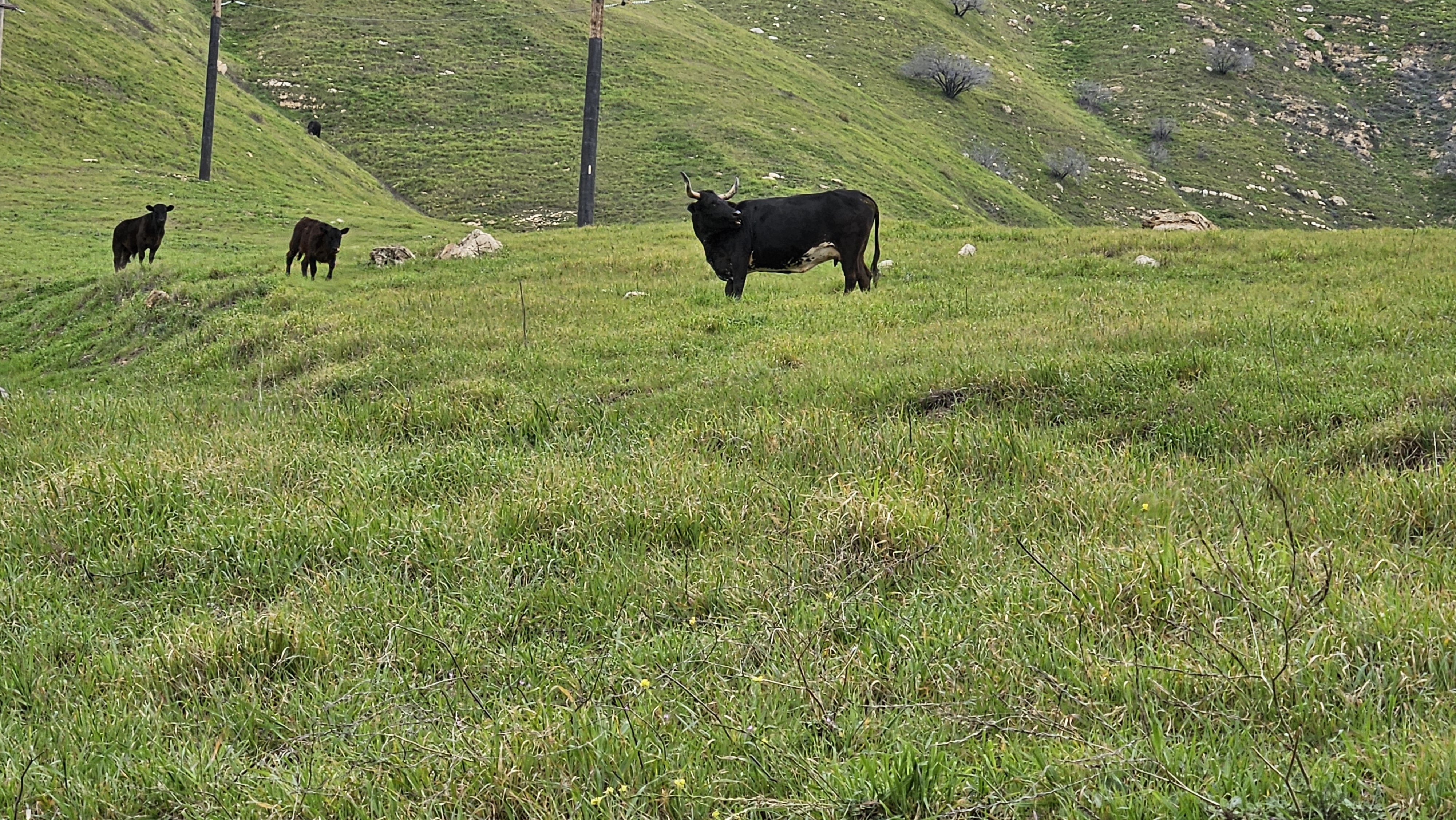
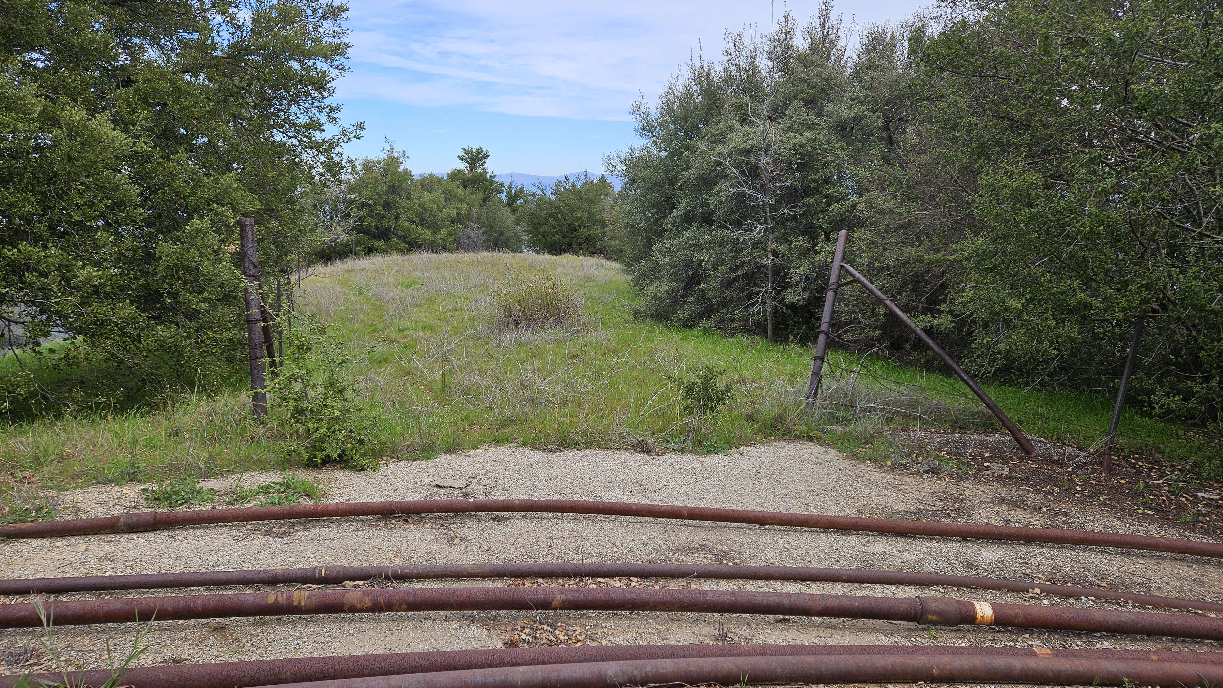
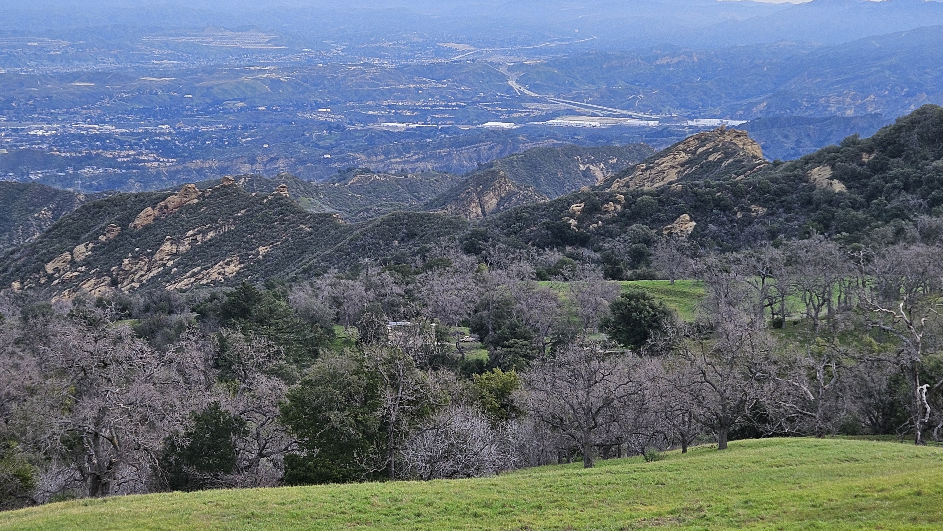
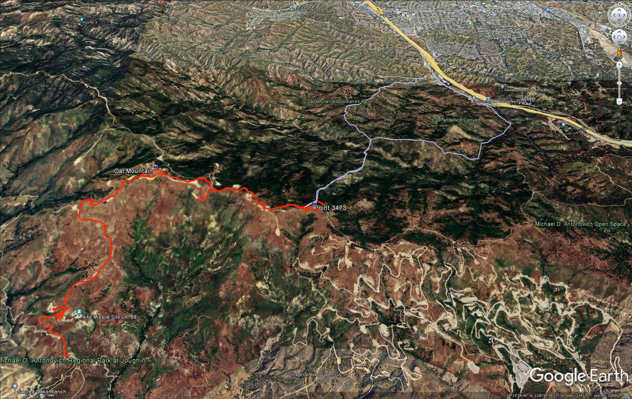
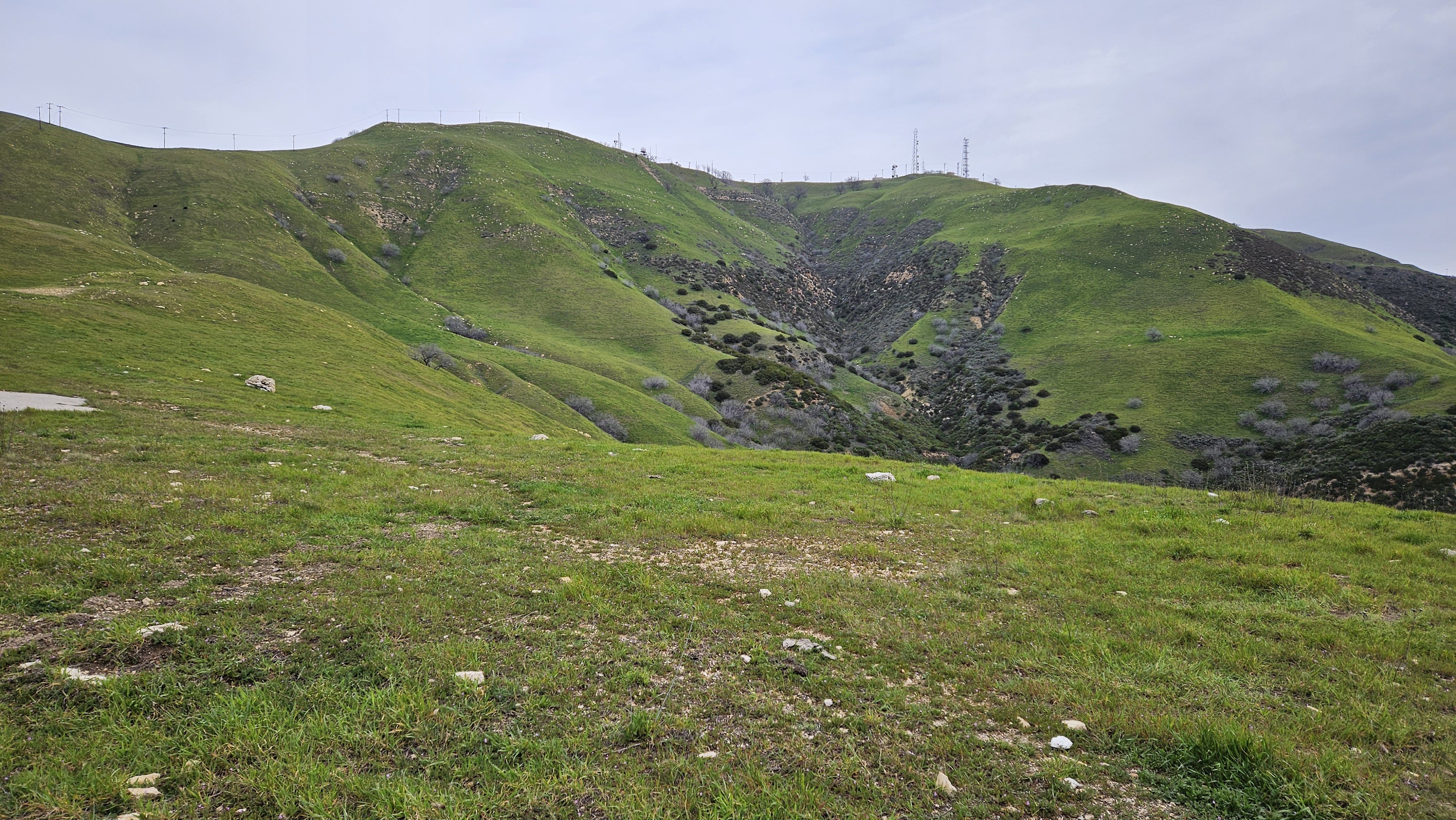
There was a paved road up the west side. I crossed a cattle guard and found myself surrounded by bovines, including several bulls. The bulls faced me directly and watched my every move. I left the road at one point to give one a wide berth. Fortunately, none were in the mood to charge me. I got up to Oat in less time than I expected. The views were darn nice for a small mountain near Santa Clarita. So much green from recent rain. The summit swarmed with towers and barbed wire fences. The gate to the facility on Oat was ajar enough to get in, but I didn't see anything inside of interest. I took a short break, then continued down the other side. I followed the road another 1.7 miles to Point 3473. Yet another bump with another cluster of towers. Just below Point 3473 was where the ridge met the road.
summit of Oat Mountain
When I reached the rendezvous, I texted Sean Cucamonga that I had arrived. I spent the next hour snacking and pacing back and forth searching the ridge for any sign of movement. The upper section of ridge looked like it was bushy with exposed rock and sharp peaklets. It looked hard. At one point, I scanned the ridge with my phone camera at 10x zoom to see if I could spot the group. After an hour, I figured they had run into problems and texted Sean that I was headed back. He replied shortly after telling me they were only half way up the ridge and would probably turn back. It not only looked like a tough route, it was.
top of the ridge
what the ascent ridge looked like from the top
Oat Mountain from the east
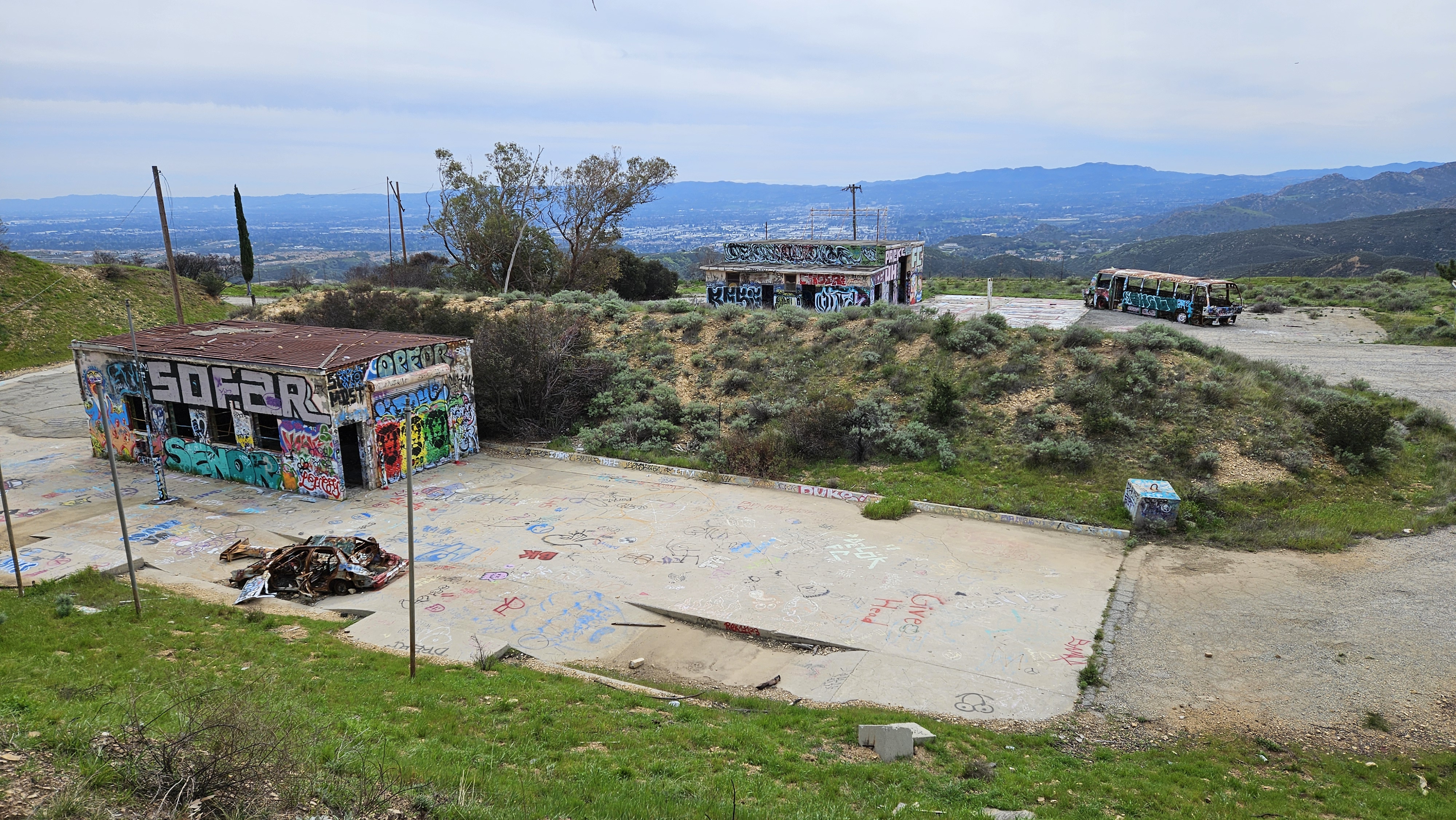
part of the Nike missile base near the start, long abandoned
My track in red, Nate's original plan in blue
Looks fun! Sorry I missed it. tekewin: what's the access situation on Brown's canyon rd? Did you have to pass a "private property" sign to get to your parking spot? And where were you supposed to pay the $5? And are hikers technically allowed on Oat Mountain Motorway and Palo Sola Motorway? I've been in that area once, and saw lots and lots of signage suggesting everything was private and scary. Is it all just routinely ignored?
That rock outcropping before the bench is called Tick Peak.I see that rope was still there, I was up on that peak a couple of years ago. There is someone that has been creating trails along a lot of those ridges. Another enjoyable one goes over to the outlook above Pico Canyon and hits Towsley Peak.Nate U wrote: ↑Mon Feb 26, 2024 12:00 pm Back on a rough but very followable use-trail at the top of Rice Canyon, we headed west along a scenic thin and bumpy ridge-line past a flagpole and some nice new benches built in 2020 with a summit register. I can't find a peak name for this anywhere - does anyone know a name for this?
I had no issues driving there. There was an open gate I passed but I didn't see any trespassing signs on the drive. There was a lower lot with a "Fee Area" sign, but I didn't spot a pay station. The upper area where I parked had no Fee signs and no place to pay. I did poor research on the parking.
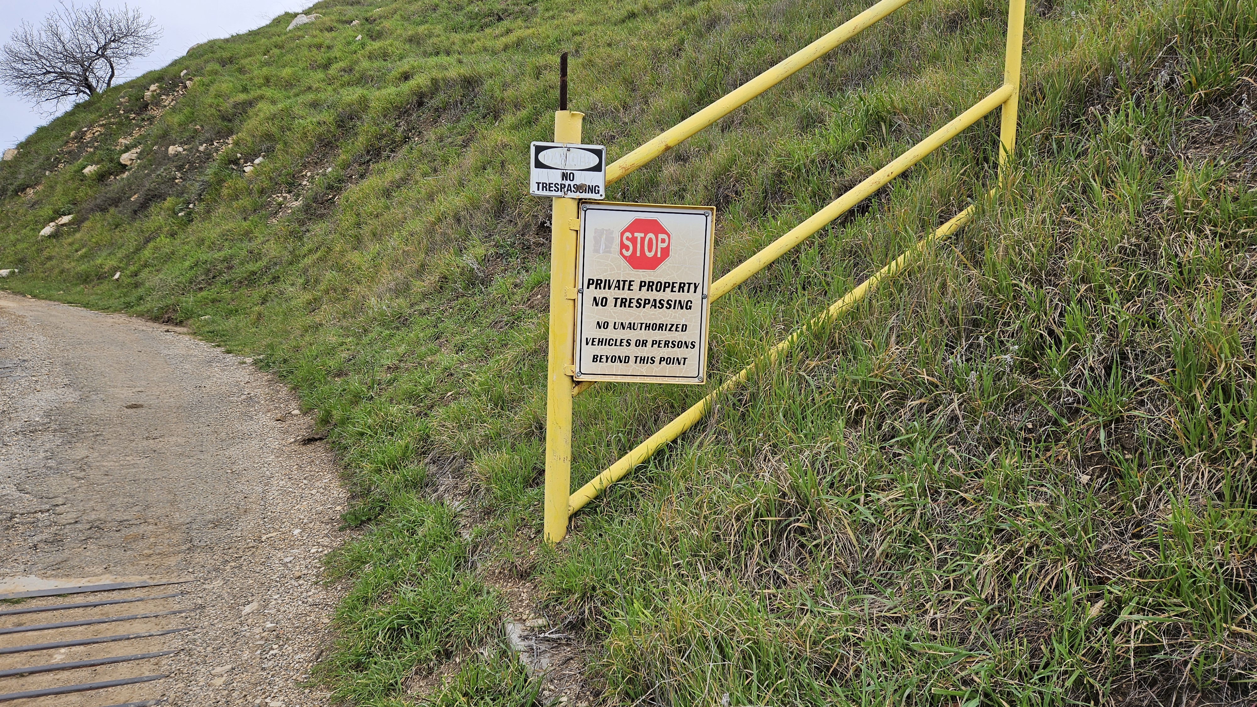
I saw one sign below the summit about trespassing:
A truck passed me on the way down and I got a nod from the driver. There have been a few reports on peakbagger for Oat in the last year and no one mentioned they had any problems. The Nike sites have No Trespassing signs of their own from the City of LA. I did feel a little uneasy on the way down because there was constant gun fire from the other side of the valley. I saw three men there shooting up a junked car and who knows what else. They didn't shoot in my direction so I just ignored them.
Copy that. "Tick Peak" is an obscure name... I don't find usage of it online.David R wrote: ↑Mon Feb 26, 2024 4:41 pm
That rock outcropping before the bench is called Tick Peak.I see that rope was still there, I was up on that peak a couple of years ago. There is someone that has been creating trails along a lot of those ridges. Another enjoyable one goes over to the outlook above Pico Canyon and hits Towsley Peak.
Yeah I remember you had mentioned a rope. I think we must have turned around at the same place you did? Knowing it had been sitting in the weather for at least 2 years doesn't give more confidence in its strength.... well no longer danger, its cut into about 5 pieces and is now a register decoration.
Yeah that ridge trail that hits Towsley Peak I might use the next time I go after Oat Mountain. I'm not done with you yet!!!
That photo jeko1034 has of the rope as we found it leading down the ridge... as sketchy and precipitous as that view to the left down into Rice Canyon may look, just on the other side of those shrubs on the right side into Towsley Canyon was a far greater cliff drop of a couple hundred feet straight down. Gnarly spot.
- Tom Kenney
- Posts: 385
- Joined: Sat Sep 29, 2007 7:51 pm
Ah! Great stuff!!! Happy B-day!
The south side is my backyard, frequently ride/hike there. The road up Browns Canyon is now open, was closed to public decades ago. There are frequent movie-making activities on a parking flat a few km above the Nike base, and I have been stopped by movie folk from riding up the road past the cattle gate/guard there. Parking at both high lots is $5, but there are 2 lower trailheads where parking is free...just inconveniently far from stuff. If you take the first west branch of dirt road above the high lot, below the Nike base, this road crosses over into Devils Canyon. From here, the down-canyon route returns to Topanga @ CA-118. The up-canyon connects to Rocky Peak Road and Las Llajas Road. This area is still wild and beautiful, mix of black oak, live oak, walnut groves.
The cows will be cool if you whistle a tune while walking through. Apparently an old lady is the one remaining land owner on a 60-acre square west of the Nike base. Those are her cows. I think she hires some local caballeros to do the work.
The mountain tops along the upper part of Rocky Peak Road, south of Las Llajas junction, have many fossils of ancient sea life (scallops and such) littering the ground everywhere.
That little guard shack at the Nike base? Great uncle on my mom's side earned his living in that tiny space. We drove up one beastly rainy night to take him fresh coffee and sandwiches.
Here is a closeup of where we turned around on the 2-ft interval LA county GIS map.
Here is what *that* looks like close-up on the GIS map: That is undoubtedly a cliff on the south (opposite) side, and I strongly suspect there is no way anyone would get down that without ropes and anchors. And look - its surrounded by cliffs on nearly every other side too. There is no getting around it.
Even if we had been able to make it down the sketchy rope, knowing what I know now about how the GIS map translates to terrain around there, we would have had to turn around a half mile later, and then try to go back UP that rope too. No bueno.
Another half mile up that ridge, we would encounter the top of that big sandstone outcrop that I'm looking at here (circled):
Here is what *that* looks like close-up on the GIS map: That is undoubtedly a cliff on the south (opposite) side, and I strongly suspect there is no way anyone would get down that without ropes and anchors. And look - its surrounded by cliffs on nearly every other side too. There is no getting around it.
Even if we had been able to make it down the sketchy rope, knowing what I know now about how the GIS map translates to terrain around there, we would have had to turn around a half mile later, and then try to go back UP that rope too. No bueno.
- Uncle Rico
- Posts: 1442
- Joined: Thu Mar 20, 2008 7:48 pm
What Nate is awkwardly trying to say here is that certain members of the group with accumulated wisdom acquired through many years of experience recognized immediately the perils on continuing, while other more impetuous members with less years under their belts had to investigate further before have to admit that the aforementioned members were, of course, correct.Some (older) members of the group instantly decided this the end of the line. Some (younger) members of the group investigated a little further but came to the same decision.
A few other pics.
Exactly!Uncle Rico wrote: ↑Tue Feb 27, 2024 7:14 am
What Nate is awkwardly trying to say here is that certain members of the group with accumulated wisdom acquired through many years of experience recognized immediately the perils on continuing, while other more impetuous members with less years under their belts had to investigate further before have to admit that the aforementioned members were, of course, correct.
More about this section of the ridge...Nate U wrote: ↑Mon Feb 26, 2024 12:00 pmGoing was slow but we eventually made it to point 2866, and it was on the saddle north of here that the ridge narrowed to only a few precious feet while plunging downwards in what could readily be considered a class 4 scramble on Towsley Formation siltstone, and an eroded/eroding one at that. Someone had affixed a black rope to a shrubby oak, but it looked in rough condition itself, having likely been there a few years, and the oak shrub it was tied to wasn't all that secure looking either. Some (older) members of the group instantly decided this the end of the line. Some (younger) members of the group investigated a little further but came to the same decision. It was sheer cliff for a couple hundred feet down into Towsley Canyon to the east, and west into Rice Canyon wasn't much better. It was an impassable ridge. No way along it, no way around it. Now I know why no one has done this before.
While the brittle and frayed rope definitely stopped us from testing the cliff, even with a good rope, proper rappelling gear and anchor setup, there is a risk of getting stuck between cliffs. We'd need to carry ascenders, and make sure we could climb back up to 2866 or be capable of bailing off the ridge into one of the canyons.
Also, we found the trail builder's rusty tool stash on 2866, which suggests that his work ended there. Beyond the cliff I suspect there is only a sporadic and minimal animal track, if that, and continuing might mean an exhausting slog through thick brush, with difficult to impossible scrambling on a narrow, cliffy backbone.
As Nate points out, he hasn't heard of anyone finishing this ridge route. It would be cool to do it, but entering such an unknown area is a risk that should be considered carefully.
I suggest starting by examining old maps and aerial imagery for evidence of the firebreak cuts and old roadbed that we found in the area. It would help to know if any lines have ever been cut in the unknown stretch of the ridge.
I'll add some thoughts and pics too-
Thanks Nate for another out of the way location, I like new areas and my mental list of stuff to visit is still expanding.
Jeko, thanks for the tools since I once again left a spatula behind. Lunch wouldn't have been the same without them.
Rico, I never had any Goldschlager and it was memorable - especially when imbibing in the middle of the uphill part!
Sean, good call for the In-N-Out treat on the way home. Just ice cream wouldn't have been enough for me.
Rice Canyon was great, the solitude and water and grasses and oaks are always soothing. It did take a while to find a dry way across the creeks.
I liked seeing the various evidence of earthquake faults and movements. Some of the up and down scrambling was made harder due to the soft rock surfaces, the hand and footholds needed verification before putting full weight on them. While a couple ridge sections were narrow they didn't feel unsafe. This hike felt like more than 8 miles, maybe because of the steep ascent and descent, plus the long route down in the warm sun after a big summit meal.
pics......
Road walking .
First stream crossing .
Looking for a dry route .
Changing of the socks .
Leap of faith that the landing spot isn't mud .
View up canyon, the official trail is visible - we're pirates, we don't need no stinking trail .
Matthew and Nate in the notch .
Tools ready to break trail although we really didn't cut that much .
Bush Poppy was blooming everywhere .
Flag Peak in sight, we had to down climb here to find a reasonable route to the trail .
Bench Peak from Flag Peak .
Not the route everyone took, cool ridge view from up there .
Fence-hopping on the way out
"Argue for your limitations and sure enough they're yours".
Donald Shimoda
Donald Shimoda