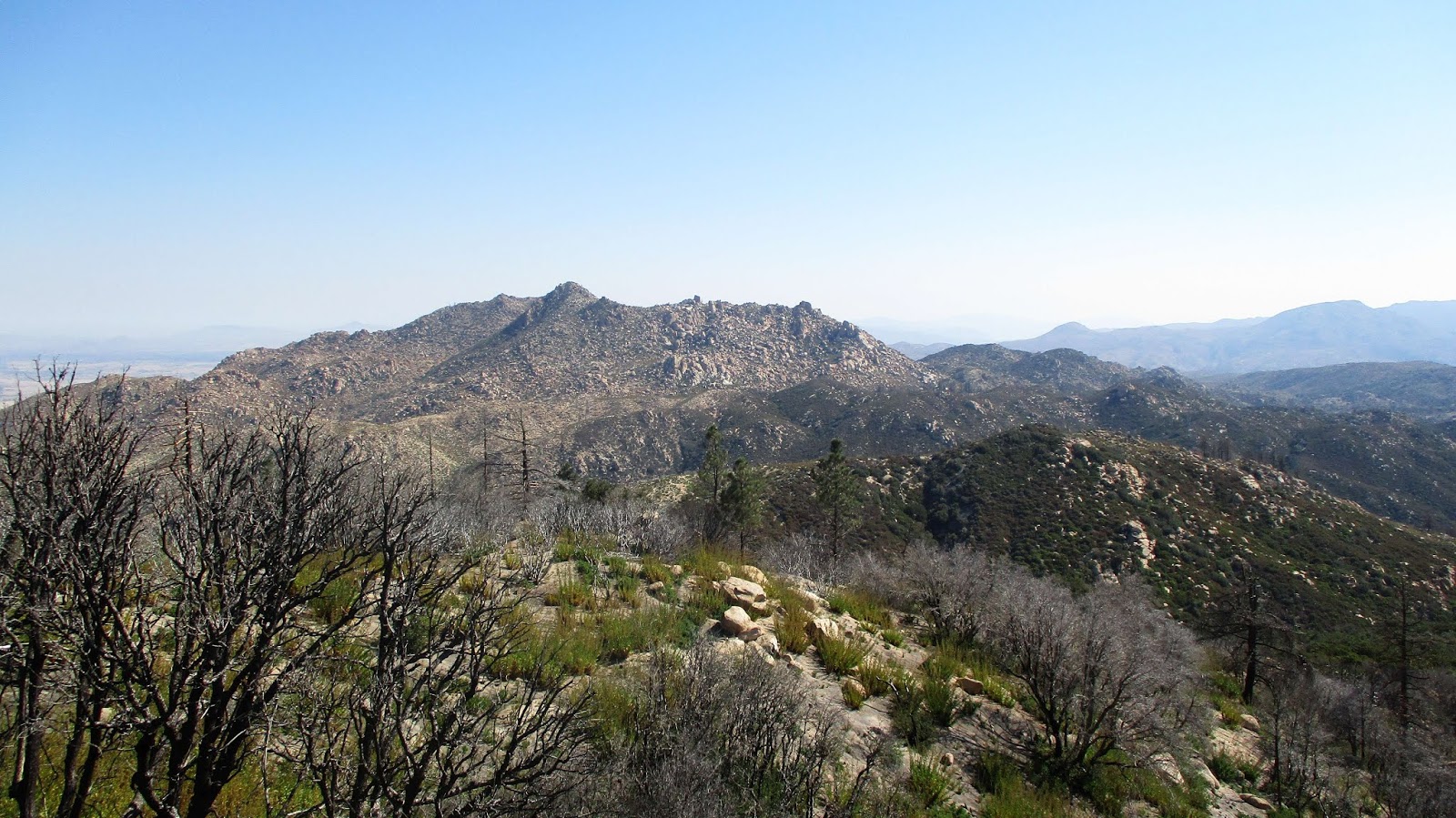
Last week Cecelia and I hiked to the Pinnacles in the San Bernardino Mountains. We tried this hike before on a whim and didn't make it to the summit because we didn't know what we were doing exactly. It's not a very easy trail to follow, despite a few trail markers here and there. But this time Cecelia figured it out while I confirmed the location on a map.
It was about 30 degrees when we started early in the morning. The initial gully crossings had frozen pools in them. These later turned into unfrozen pools.
The first mile or so of trail is easygoing over rolling terrain.
Then we reached the rocks, where the footpath becomes less obvious. We followed the many-cairned route and trail posts.
The path takes you up a rocky gully to a ridge where you can finally see the peak surrounded by pinnacle-ish rock formations.
The last bit of "trail" was a scramble through some rocks, then we reached the summit boulder.
The views were quite impressive. It was a clear morning with very little wind. We could see the highpoints of the Gabes in one direction, and the Berdoos in the other.
And another pinnacles formation.
There was a marker on the summit boulder but it didn't say anything. There was also a register which Cecelia signed for us. After a snack we left the summit and managed to get slightly lost on the way down. But it's easy to backtrack and find the way again.
The Pinnacles
-
Sean

- Cucamonga
- Posts: 4257
- Joined: Wed Jul 27, 2011 12:32 pm
You do not have the required permissions to view the files attached to this post.
-
HikeUp

- Posts: 4042
- Joined: Thu Sep 27, 2007 9:21 pm
I've never heard of this location. Thanks for the TR.
I initially thought this was going to be a TR in The Pinnacles National Park (the one up near Soledad), which I recommend wholeheartedly.
I initially thought this was going to be a TR in The Pinnacles National Park (the one up near Soledad), which I recommend wholeheartedly.
-
Sean

- Cucamonga
- Posts: 4257
- Joined: Wed Jul 27, 2011 12:32 pm
Yeah, I've heard good things about the Pinnacles NP but never been there. It's on the list, which is quite long now.
This Pinnacles is off CA-173 in Lake Arrowhead.
This Pinnacles is off CA-173 in Lake Arrowhead.
-
HikeUp

- Posts: 4042
- Joined: Thu Sep 27, 2007 9:21 pm
Go when it's not crowded. I recommend east entrance.
-
tekewin

- Posts: 1385
- Joined: Thu Apr 11, 2013 5:07 pm
That's a fun summit. I got into a bad batch of poodle dog on the way. It looks cold out there right now.
Since Pinnacles is relatively short, some people do Mount Marie Louise on the same trip. It starts a couple of miles away on a dirt road.
This is Pinnacles from Marie Louise...

Since Pinnacles is relatively short, some people do Mount Marie Louise on the same trip. It starts a couple of miles away on a dirt road.
This is Pinnacles from Marie Louise...
