East Fork: Devil Gulch Falls and Iron Fork

TRs for the San Gabriel Mountains.
Post Reply
User avatar
MtGoatMan
Posts: 25
Joined: Thu May 05, 2022 7:38 pm

Post by MtGoatMan »

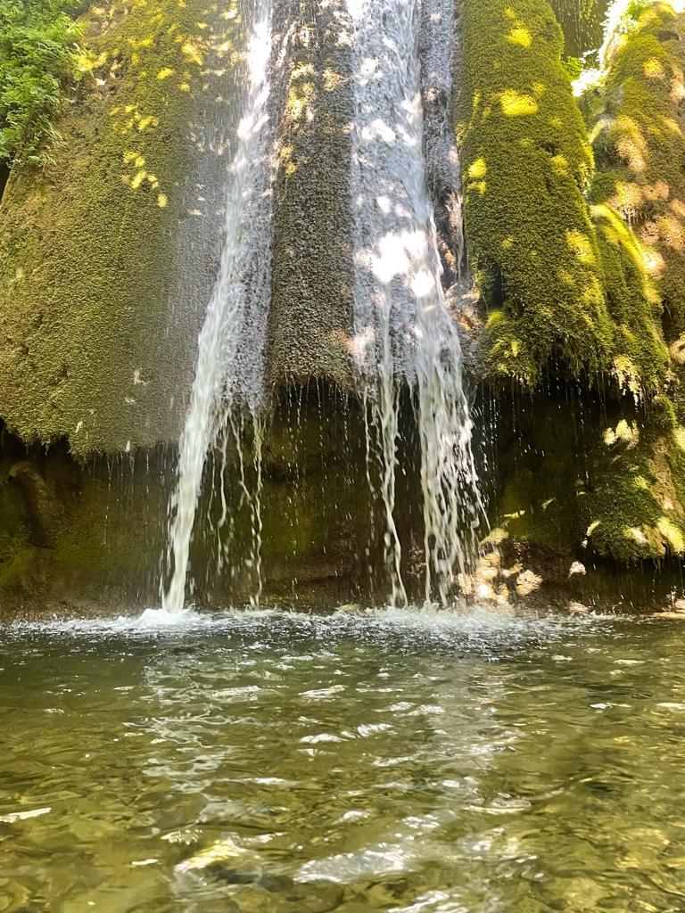
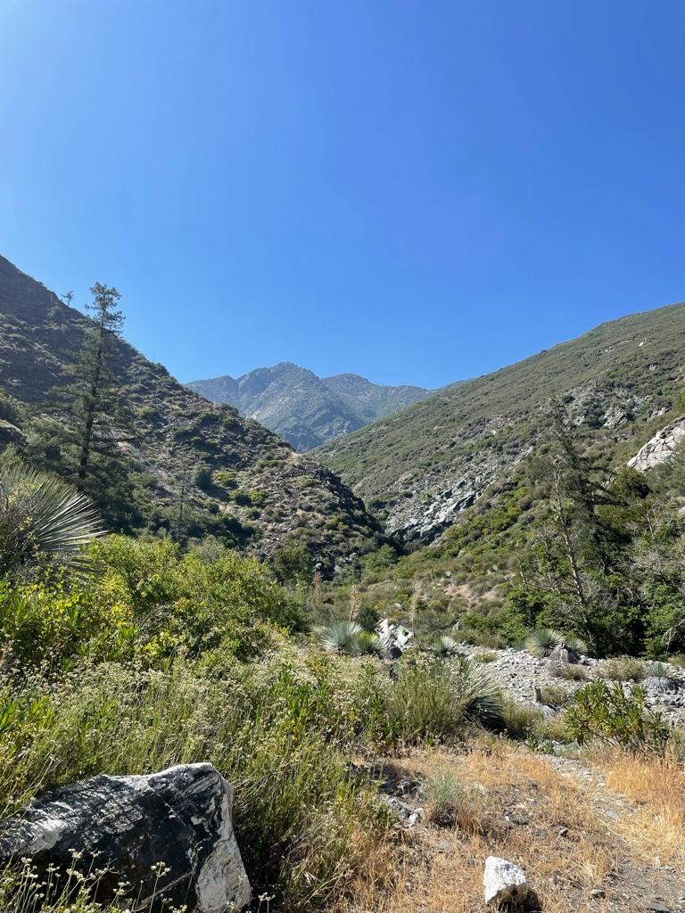
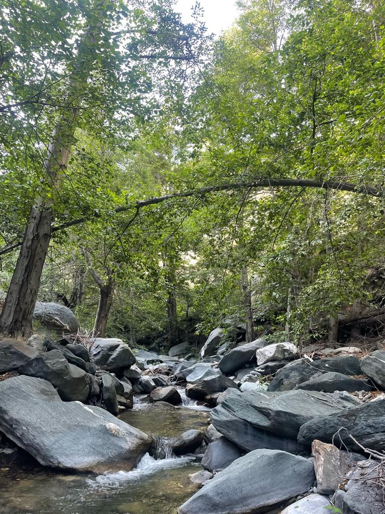
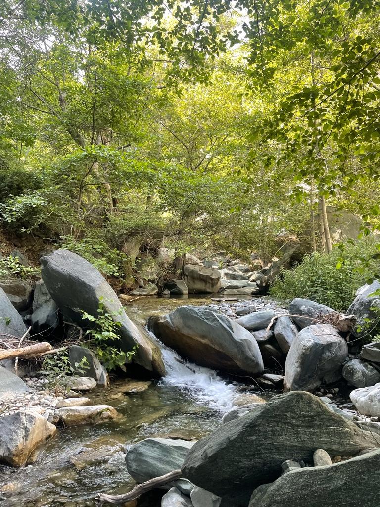
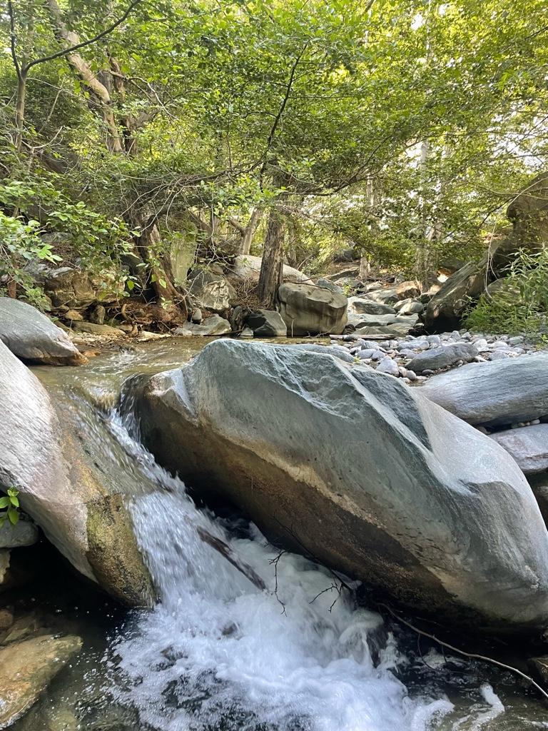
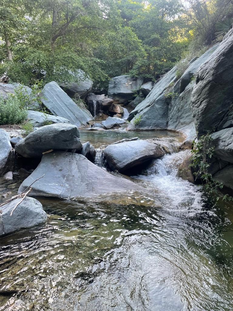
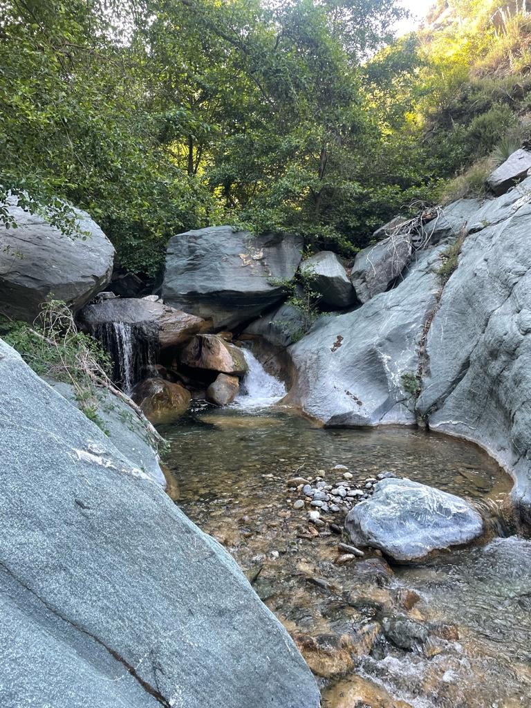
A couple days ago I did a solo overnight trip to Iron Fork. On the way I checked out Devil Gulch Falls for the first time.

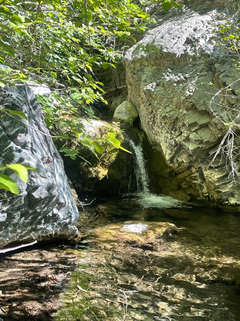
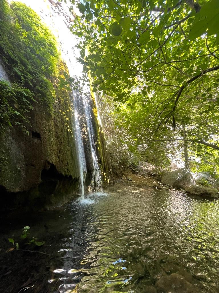
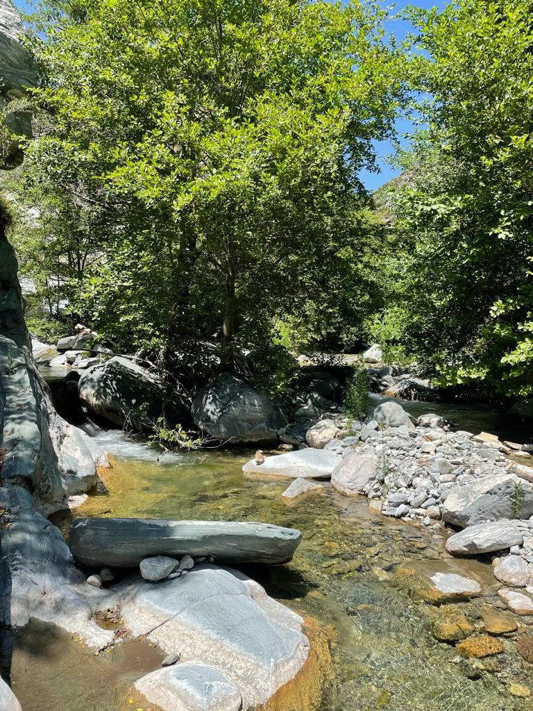
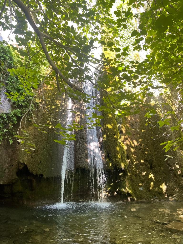
Devil Falls is pretty straightforward to find if you know where to go and look. Definitely a super beautiful place and I had it all to myself on a Tuesday! Can’t think of a better place to beat the heat on the way up East Fork.

It’s kind of a pain to get back to the main trail from Devil Gulch without “trespassing” under the BTN, but I made it up a crazy steep scree slope by the storage container there.

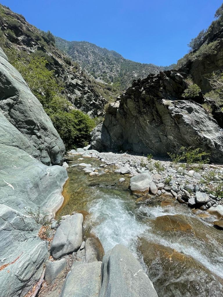
It was my first time past the BTN, and it was awesome to check out the Narrows, they definitely lived up to my expectations.

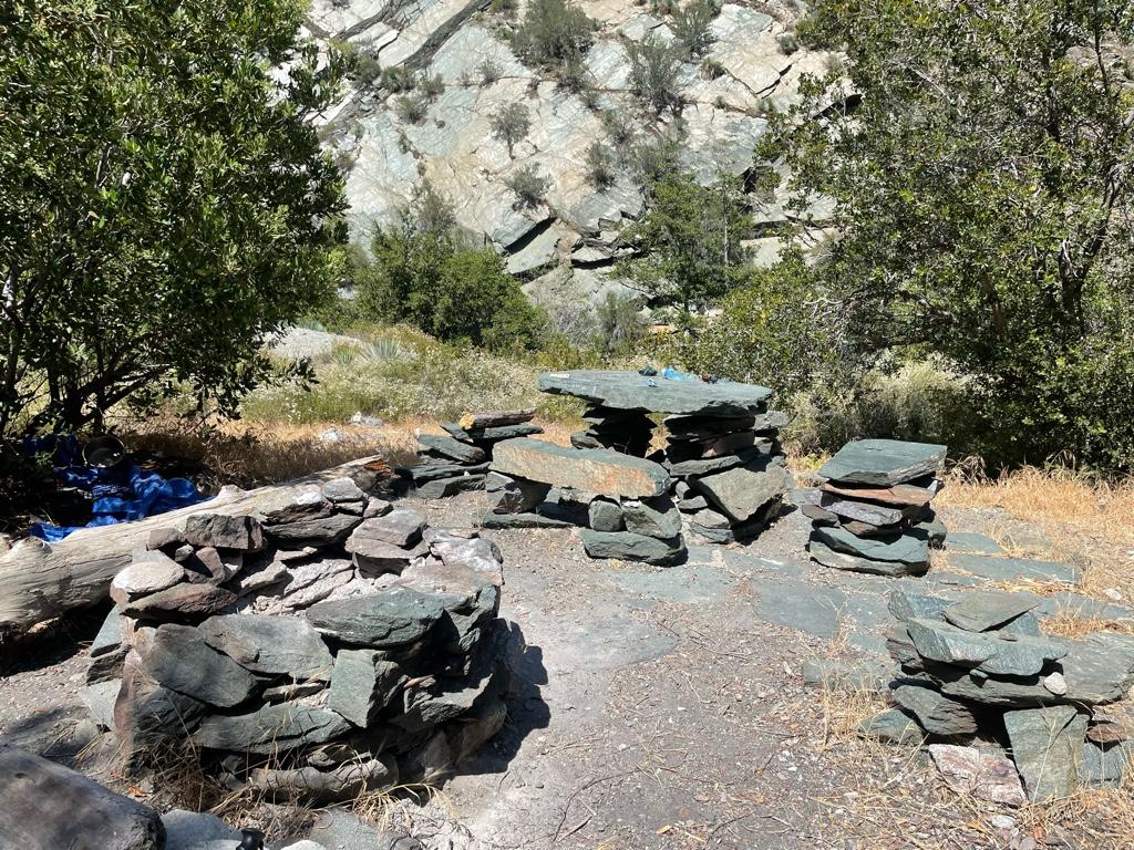
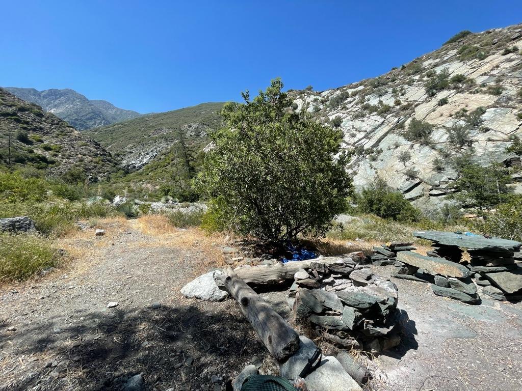
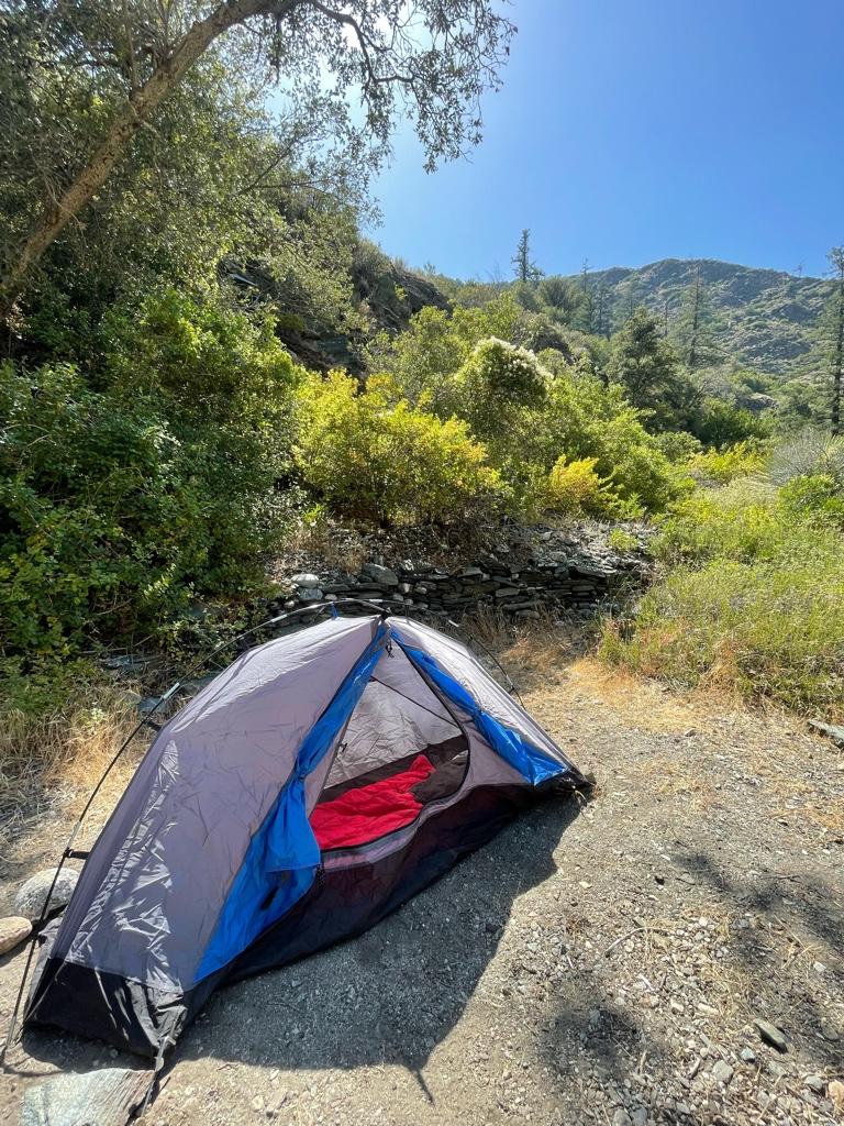
It was easy to reach the Iron Fork confluence, but I had a pretty rough time finding the Iron Fork camp, especially with my heavy pack on! Finally was able to find the camp around 3pm. The stone table and giant fire ring are pretty neat for sure.

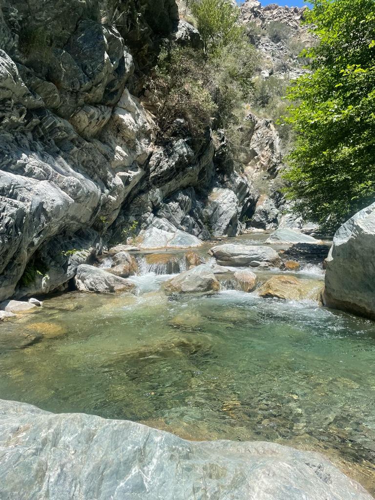
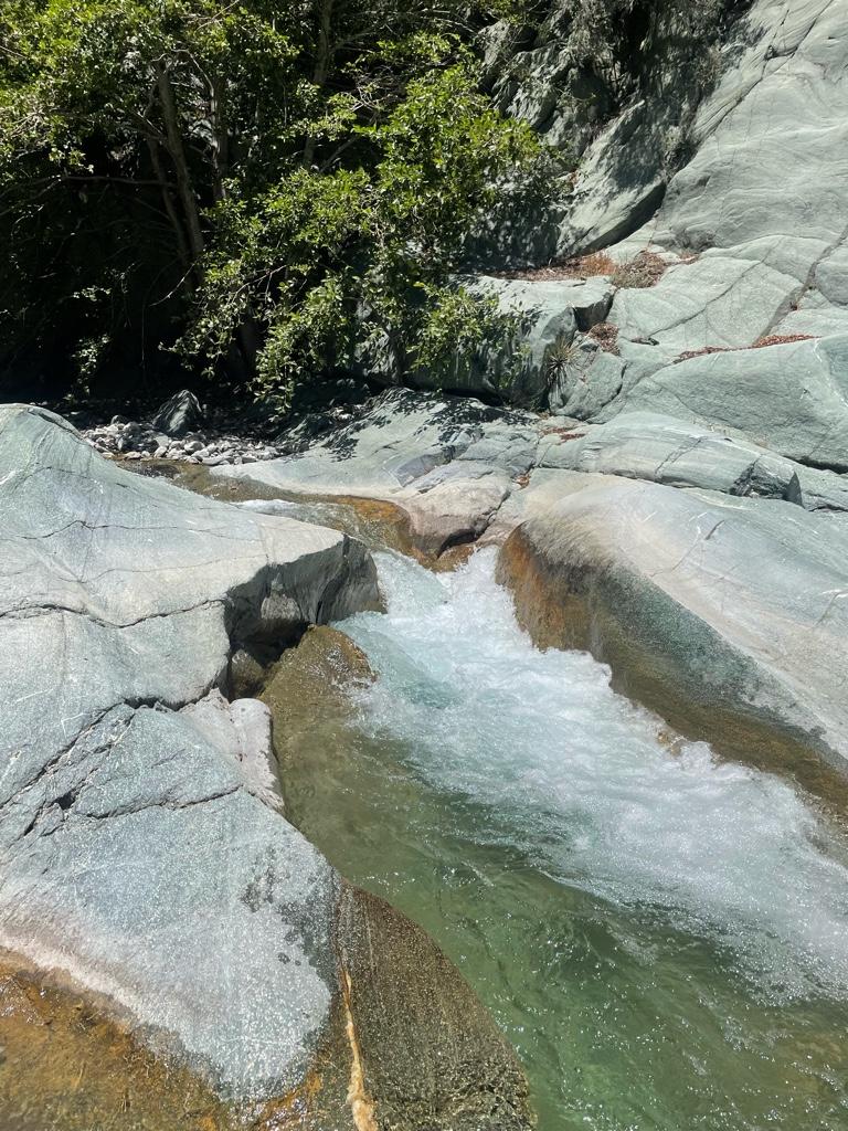
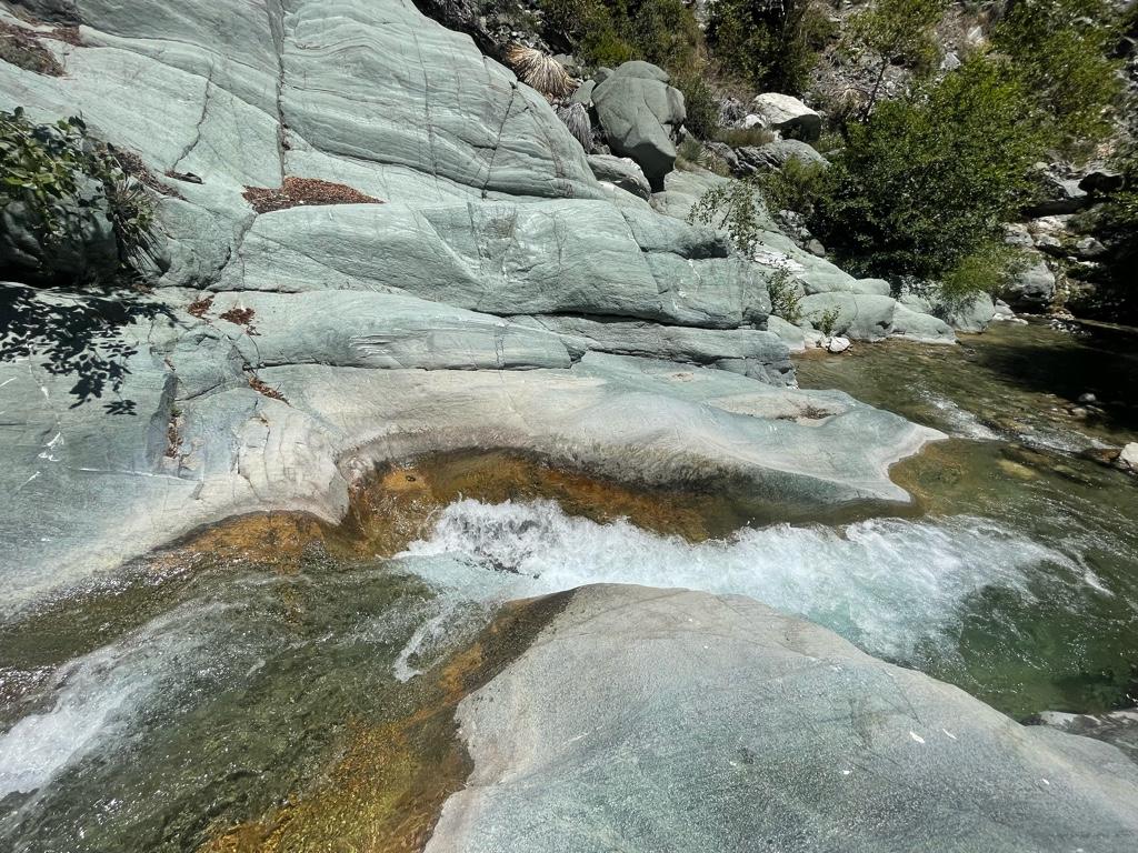
Set up my camp for the night, and made my way up Iron Fork for a bit. Lots of water coming down still in June, and many beautiful little cascades, pools, and slides that get bigger as you go up.

I turned back for the night after about an hour up Iron Fork when I got to a pool I didn’t feel like swimming through and headed back to my camp. It was an incredibly peaceful night, with the sound of the river, frogs, and birds all night.

The next morning I headed further up Iron Fork, trying to reach the confluence of the two forks. I didn’t bring my phone with me unfortunately because I didn’t have a wet bag with me, and I’m sad I didn’t get any pictures further in!

Iron Fork gets better and better the further up you go. I came around a corner and was pleasantly surprised by Ross Gulch Falls tumbling in from the north.

Sometimes the canyon walls close in tall and dark and it made for almost a cavern like experience in some places with a green canopy of trees. It was super fun clambering up the slick walls and around the car-sized boulders.

I couldn’t believe my eyes when I saw in the midst of all this beauty a campsite tucked away up there! It was right across a moss-laden wall with a spring leaking out of it, and above a very deep (8 ft or so) pool with good sized trout in it.
Wild to think of someone lugging up a chair and other stuff up here! It’d be awesome to try to stay here some time.

I would’ve kept going all day up Iron Fork, but unfortunately I had to turn back because I hadn’t planned on a 2 night trip. I’m definitely gonna be back to check out more though!

Saw lots of bear sign, one possible lion sign, 2 snakes, lots of lizards and birds, good sized trout in Iron Fork pools.

Tons of greenery everywhere in Iron Fork, and lots of water even in these dry times.

A good amount of bushwhacking, no major navigational issues besides trying to find Iron Fork camp.


Took me about 5 hours to get back down to Heaton Flat from Iron Fork. I didn’t see a soul for over 24 hours until I got to just above the BTN.

Total was about 20 miles over 2 days.

I won’t be able to do much more exploring for the rest of the summer but I am definitely looking forward to more Angeles adventures, I never get enough.
Some pics:
Image

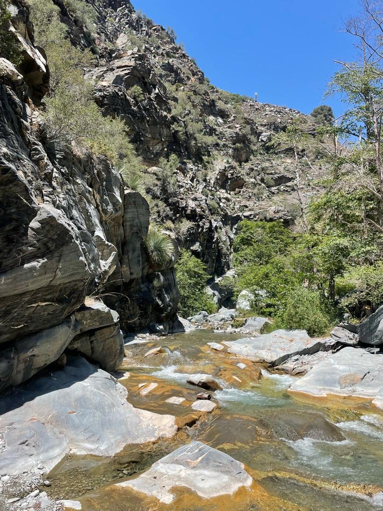
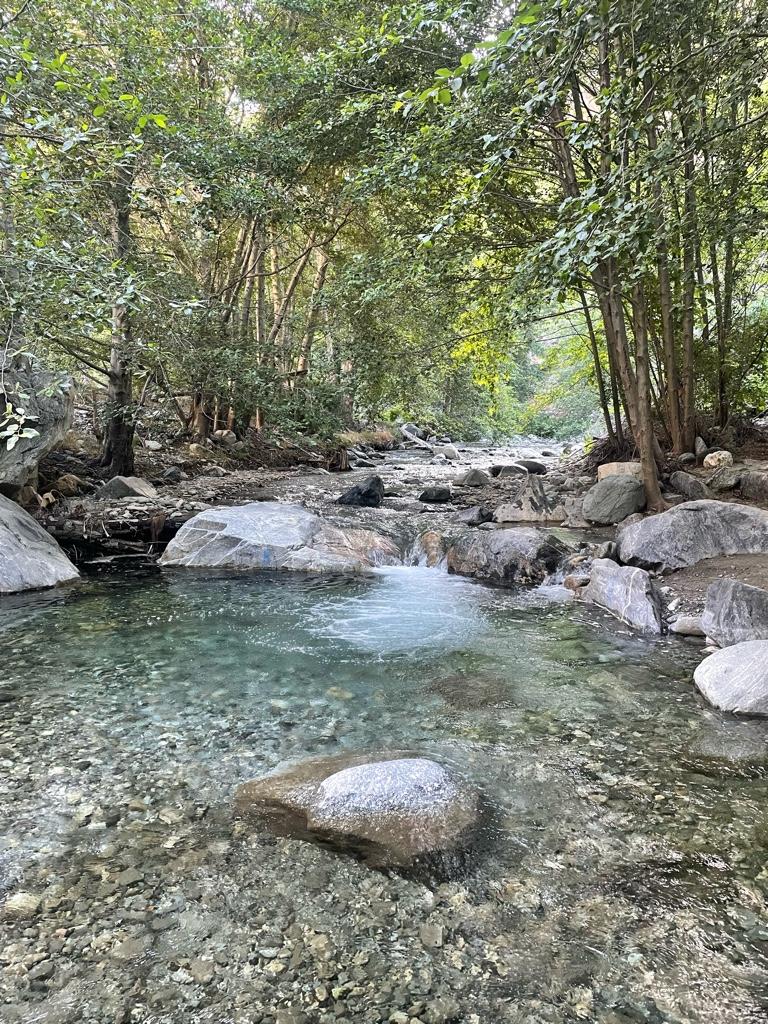
One of my favorite spots on East Fork before Alison Gulch
Image

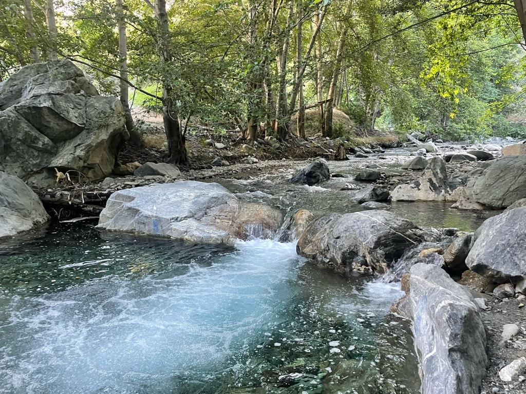
Saw a fish jump here.
Image
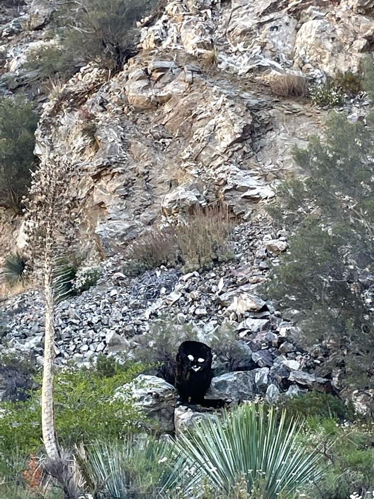
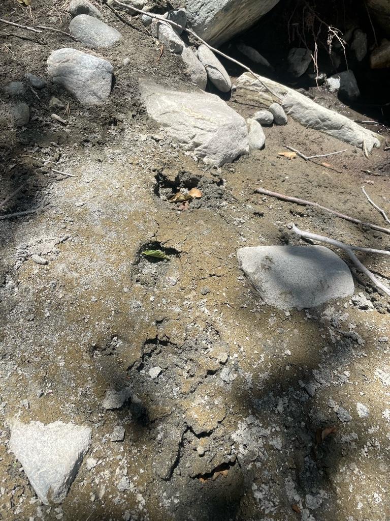
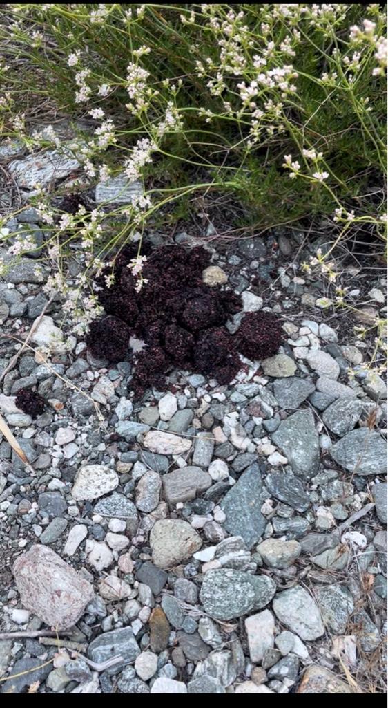
Looked like a bear at first and shocked me a bit! Someone made a little prank…
Image
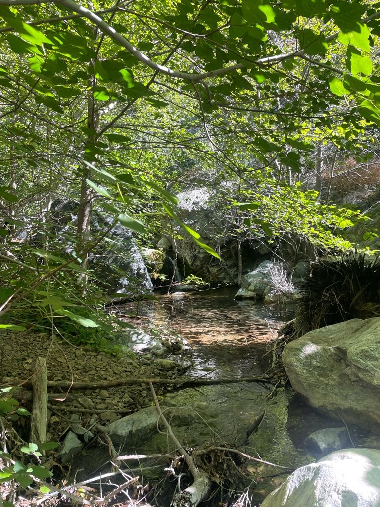
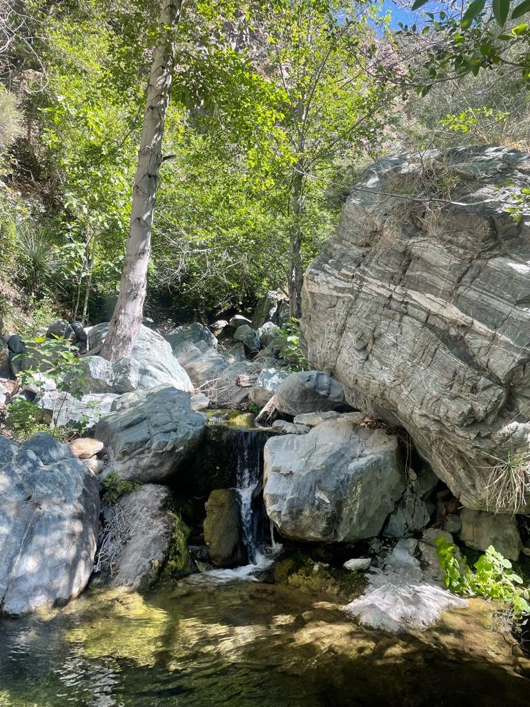
On the way up Devil Gulch
Image
Welcome to the jungle
Image
Devil Gulch
Image
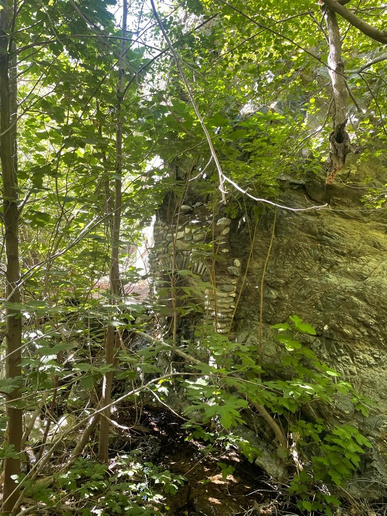
Cool old chimney in the wall at Devil Gulch
Image
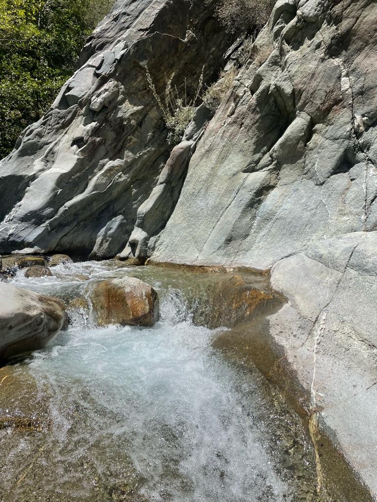
Devil Gulch falls
Image
Image

Image
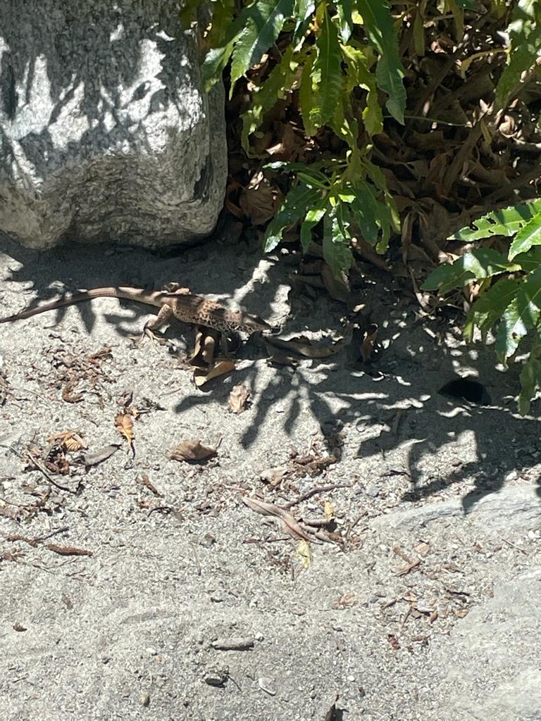
Cool spotted lizard
Image
Past the Bridge
Image
Image
Reaching the narrows
Image
Possible mountain lion sign, scat a bit to the right
Image
Narrows
Image
Image
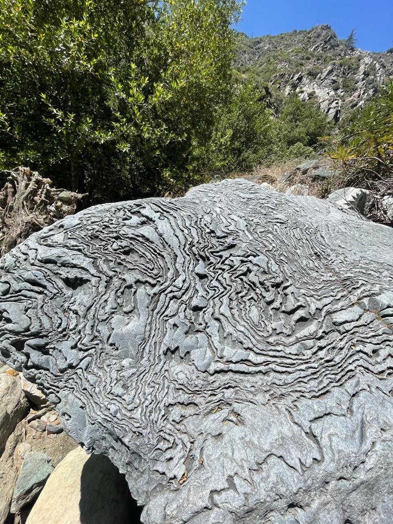
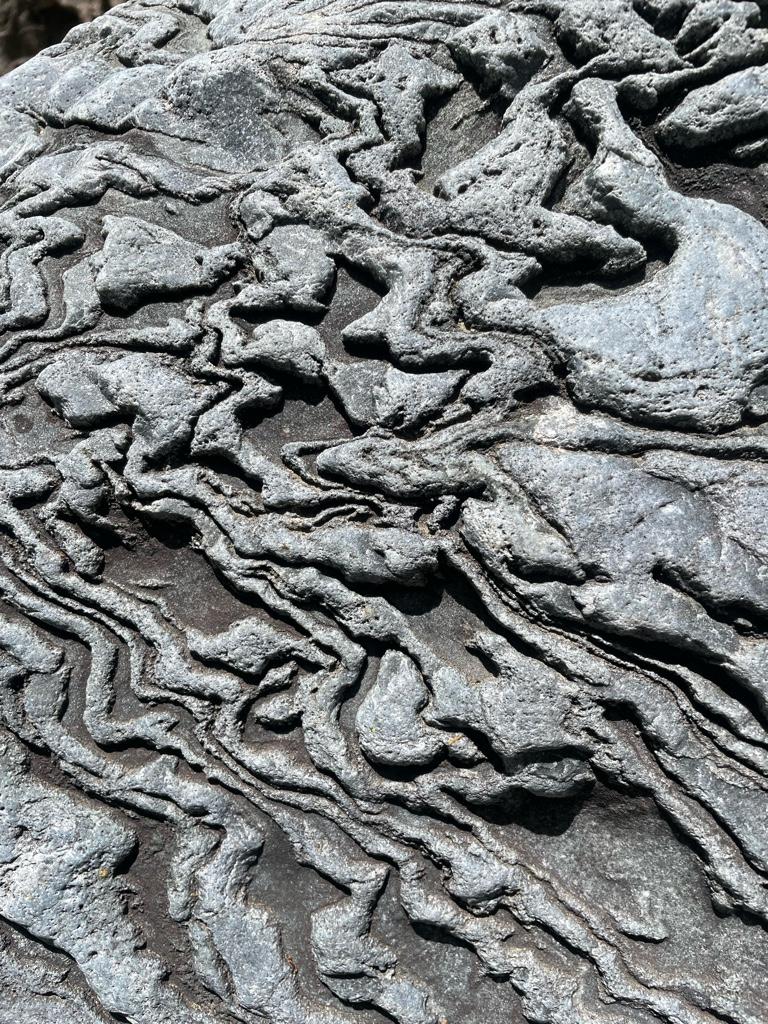
Awesome boulder
Image
Image
Image
Image
Iron Fork on left
Image
Iron Fork campsite
Image
Image
Image
View up Iron Fork towards Ross Mountain
Image
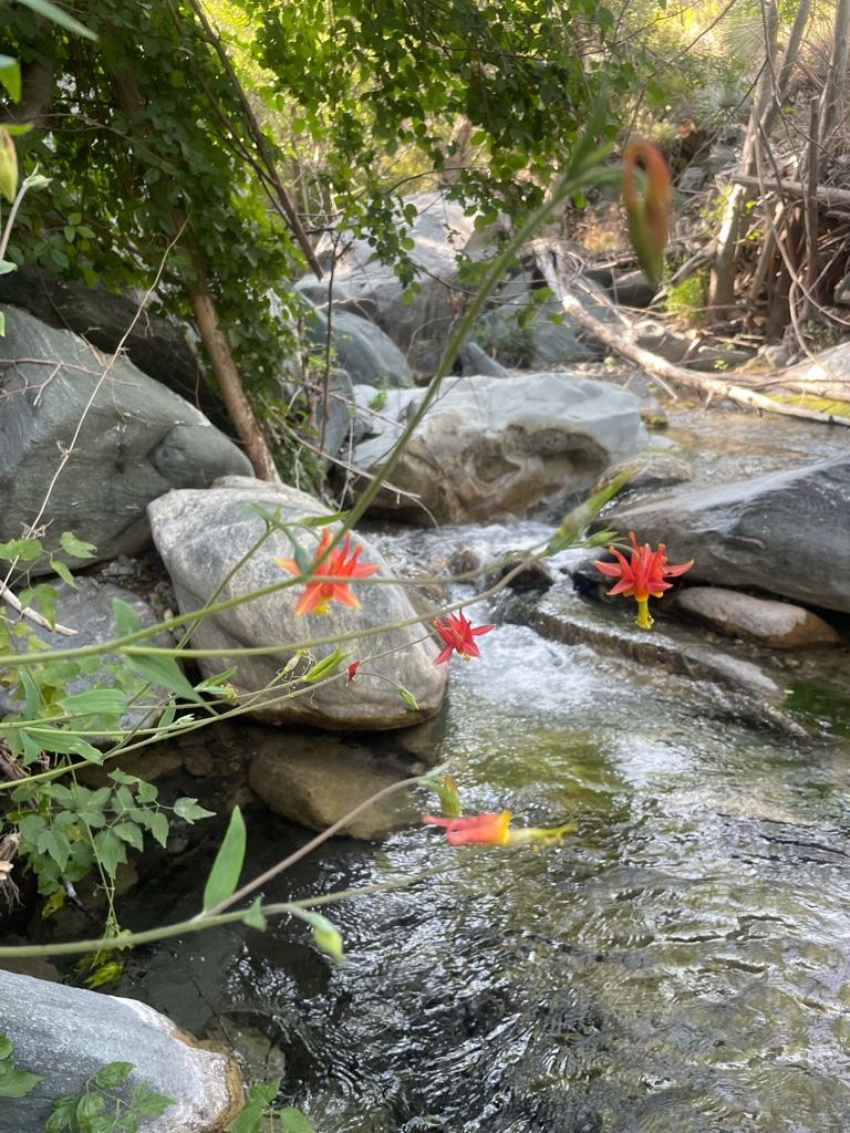
Columbines I think
Image
Iron Fork
Image
Image
Image
Cascade and pools
Image
Image
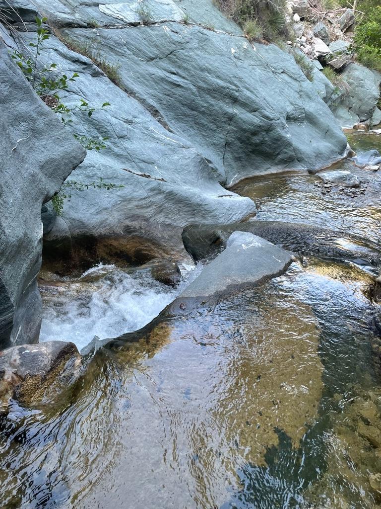
Looking down from a cascade
Image
Little sign I made to mark my way back to camp
Image
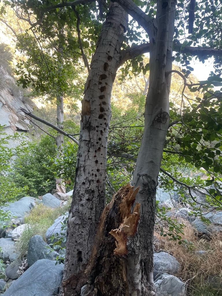
Woodpecker heaven
Image
One of 2 bear scats near Iron Fork camp
User avatar
Girl Hiker
Posts: 1403
Joined: Fri Apr 04, 2014 7:46 am
Contact:

Post by Girl Hiker »

Wow! Beautiful pics. They are so refreshing.
I've been wanting to go back to Devil's Gulch. There use to be a rope to the right of the falls hanging on a tree. I've climbed it a couple of times to get up to the top of the waterfall. It takes a little bushwacking to get through but there is another huge pool hidden on top.
"Never limit yourself to what you can do!"
--Bart Yasso, my hero
Instagram My Blog
User avatar
Sean
Cucamonga
Posts: 4052
Joined: Wed Jul 27, 2011 12:32 pm

Post by Sean »

Thanks for the report and photos. Looks like a great scramble.
User avatar
Anthony
Posts: 327
Joined: Mon Jun 05, 2017 11:53 am

Post by Anthony »

Looks like a great trip. Any photos of Ross Gulch Falls?
User avatar
MtGoatMan
Posts: 25
Joined: Thu May 05, 2022 7:38 pm

Post by MtGoatMan »

Girl Hiker wrote:Wow! Beautiful pics. They are so refreshing.
I've been wanting to go back to Devil's Gulch. There use to be a rope to the right of the falls hanging on a tree. I've climbed it a couple of times to get up to the top of the waterfall. It takes a little bushwacking to get through but there is another huge pool hidden on top.
Thank you it certainly is refreshing in there! Hmm I don’t remember if the rope is there or not but next time I’ll have to look. I don’t mind a bit of bushwhacking, that sounds awesome.
User avatar
MtGoatMan
Posts: 25
Joined: Thu May 05, 2022 7:38 pm

Post by MtGoatMan »

Sean wrote:Thanks for the report and photos. Looks like a great scramble.
Thank you, it was, just the way I like it!
User avatar
MtGoatMan
Posts: 25
Joined: Thu May 05, 2022 7:38 pm

Post by MtGoatMan »

Anthony wrote:Looks like a great trip. Any photos of Ross Gulch Falls?
Definitely was! Unfortunately not because I didn’t have my phone with me that day. It was flowing nicely with 2 tiers about 20-30 feet I’d say. Next time I’m gonna bring my phone and be better prepared to go further in.
User avatar
tekewin
Posts: 1259
Joined: Thu Apr 11, 2013 5:07 pm

Post by tekewin »

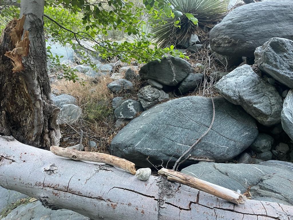
Nice trip! I don't think I've seen a boulder with that kind of intricate erosion before.
User avatar
MtGoatMan
Posts: 25
Joined: Thu May 05, 2022 7:38 pm

Post by MtGoatMan »

tekewin wrote:Nice trip! I don't think I've seen a boulder with that kind of intricate erosion before.
Thanks, yeah it was pretty unique!
User avatar
Uncle Rico
Posts: 1439
Joined: Thu Mar 20, 2008 7:48 pm

Post by Uncle Rico »

Looks amazing. Nice to see all that water.
User avatar
Sean
Cucamonga
Posts: 4052
Joined: Wed Jul 27, 2011 12:32 pm

Post by Sean »

That boulder is indeed awesome. I wonder if it was formed like that by water/ice/wind or by Sasquatch claws.

Also, shouldn't there be a half-naked mermaid under that waterfall?
User avatar
tekewin
Posts: 1259
Joined: Thu Apr 11, 2013 5:07 pm

Post by tekewin »

Sean wrote: That boulder is indeed awesome. I wonder if it was formed like that by water/ice/wind or by Sasquatch claws.

Also, shouldn't there be a half-naked mermaid under that waterfall?
Yeah, Squatch sculpt art crossed my mind.
User avatar
dima
Posts: 1521
Joined: Wed Feb 12, 2014 1:35 am
Location: Los Angeles

Post by dima »

The timing of this amuses me since Taco and I just finished a big loop through Iron Fork last night. It is as excellent as this post says. TR coming!
User avatar
CrazyHermit
Posts: 343
Joined: Mon Sep 07, 2015 1:03 pm

Post by CrazyHermit »

Nice shots. There's a long forgotten mine up in Ross Gulch. Sounds like you got pretty close to it. That lizard is called a western whiptail.
Did you notice all the signatures carved into that rock table at Trogden's Camp? One's from 1929, same year George Trogden and Oliver Justice died.
User avatar
dima
Posts: 1521
Joined: Wed Feb 12, 2014 1:35 am
Location: Los Angeles

Post by dima »

Is "Trogden's Camp" what we call "Iron Fork Camp" today?
User avatar
CrazyHermit
Posts: 343
Joined: Mon Sep 07, 2015 1:03 pm

Post by CrazyHermit »

Yeah, that's where his Trogden's cabins were. The first one was right behind the table. It was abandoned by some Mormons and Trogden threw a tarp over the ruins to keep it watertight. That one he gave to his son in law, and that became his ranch. His mule corral was up on a mesa. That whole area used to be called Hibasch (sp?) Ranch. The stone table was built by the forest service just before he died. I've found parts of a busted up barbeque that used to be next to that table. Supposedly there used to be several of them up and down the canyon
User avatar
hiiker
Posts: 21
Joined: Thu Jul 01, 2010 11:56 am

Post by hiiker »

Those are some great pictures and thanks for the trip report. I'm amazed by the amount of water flowing considering the area is in a Severe Drought condx right now. BTW, that rock with the strange texture (folds) can be seen on similar rocks along the Ice House Canyon Trail. I believe they are just past the Wilderness sign where there was an avalanche some years back. It's been a while since I last went up that trail so I might be mistaken on their exact location.
User avatar
Anthony
Posts: 327
Joined: Mon Jun 05, 2017 11:53 am

Post by Anthony »

I went to Devil's Gulch Waterfall and the bridge on Sunday. As expected, the entire East Fork was an absolute zoo. I've never so many people there, including 5 CHP cruisers who at one point blocked access via car to the TH. I didn't see a single FS ranger though.

The waterfall is worth the effort even though the flow has been reduced quite a bit. It's moving though and the pool was a couple feet deep and clear.

It was my first long hike wearing my new Keen Newport water sandals. They're awesome and I'll never wear shoes on a river hike again unless there's a lot of non-water sections.

I look forward to exploring the other falls up the East Fork (Ross Gulch and Fish Fork). I also still gotta visit Allison Gulch.
IMG_1656.JPG
User avatar
MtGoatMan
Posts: 25
Joined: Thu May 05, 2022 7:38 pm

Post by MtGoatMan »

CrazyHermit wrote:Nice shots. There's a long forgotten mine up in Ross Gulch. Sounds like you got pretty close to it. That lizard is called a western whiptail.
Did you notice all the signatures carved into that rock table at Trogden's Camp? One's from 1929, same year George Trogden and Oliver Justice died.
Yeah I saw the signature from 1929, pretty cool for sure!
So much cool stuff hidden away there.
User avatar
MtGoatMan
Posts: 25
Joined: Thu May 05, 2022 7:38 pm

Post by MtGoatMan »

hiiker wrote:Those are some great pictures and thanks for the trip report. I'm amazed by the amount of water flowing considering the area is in a Severe Drought condx right now. BTW, that rock with the strange texture (folds) can be seen on similar rocks along the Ice House Canyon Trail. I believe they are just past the Wilderness sign where there was an avalanche some years back. It's been a while since I last went up that trail so I might be mistaken on their exact location.
Thanks, it really is amazing how much water is flowing during a drought like this. Yeah I’ve seen that boulder at Icehouse Canyon as well, it is right by the wilderness sign like you said.
User avatar
MtGoatMan
Posts: 25
Joined: Thu May 05, 2022 7:38 pm

Post by MtGoatMan »

Anthony wrote:I went to Devil's Gulch Waterfall and the bridge on Sunday. As expected, the entire East Fork was an absolute zoo. I've never so many people there, including 5 CHP cruisers who at one point blocked access via car to the TH. I didn't see a single FS ranger though.

The waterfall is worth the effort even though the flow has been reduced quite a bit. It's moving though and the pool was a couple feet deep and clear.

It was my first long hike wearing my new Keen Newport water sandals. They're awesome and I'll never wear shoes on a river hike again unless there's a lot of non-water sections.

I look forward to exploring the other falls up the East Fork (Ross Gulch and Fish Fork). I also still gotta visit Allison Gulch.
Yeah I definitely want to head to Fish Fork and Allison Gulch too.

I had a pair of cheap hiking sandals but they gave me blisters. Yours sound a lot better!
User avatar
Anthony
Posts: 327
Joined: Mon Jun 05, 2017 11:53 am

Post by Anthony »

User avatar
dima
Posts: 1521
Joined: Wed Feb 12, 2014 1:35 am
Location: Los Angeles

Post by dima »

Oh yeah. I used to have a pair like that. Except mine were waterproof.
User avatar
Girl Hiker
Posts: 1403
Joined: Fri Apr 04, 2014 7:46 am
Contact:

Post by Girl Hiker »

Nice to see water still flowing. So do the Newport water sandals have a good grip? How was all the stream crossings over rocks?
I need to buy some newxwater sandals.
"Never limit yourself to what you can do!"
--Bart Yasso, my hero
Instagram My Blog
User avatar
Hikin_Jim
Posts: 4686
Joined: Thu Sep 27, 2007 9:04 pm

Post by Hikin_Jim »

I haven't been up past the BTN for a long time. I'll have to check out that Devil's Gulch Falls. Allison Falls is worth seeing, @Anthony

Thanks for the post,

HJ
User avatar
Anthony
Posts: 327
Joined: Mon Jun 05, 2017 11:53 am

Post by Anthony »

Girl Hiker wrote: Nice to see water still flowing. So do the Newport water sandals have a good grip? How was all the stream crossings over rocks?
I need to buy some newxwater sandals.
Yes, they have good grip and I had no issues streaming crossing over rocks. I was moving faster than everyone in my group. I did 14 miles with them and didn't have any issues except for one extremely steep (and unnecessary scramble) in which tiny rocks entered the sandals, which really sucked. So that's one of the downsides to Newports and sandals in general. They're not good for off trail activity in small scree. Sand is ok because if it gets under your feet it's just slightly annoying, but small rock that's a little bigger than sand makes it difficult to walk and you have to empty the shows. Again, this wouldn't have been an issue had I not done a very steep scramble in small scree.
Post Reply