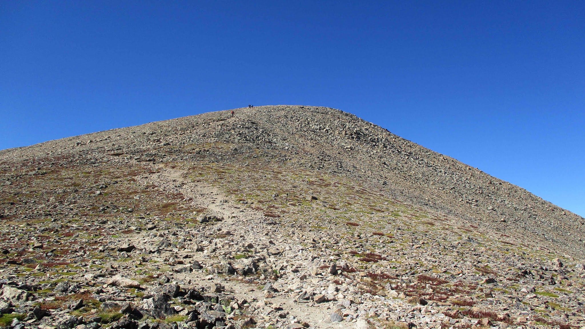
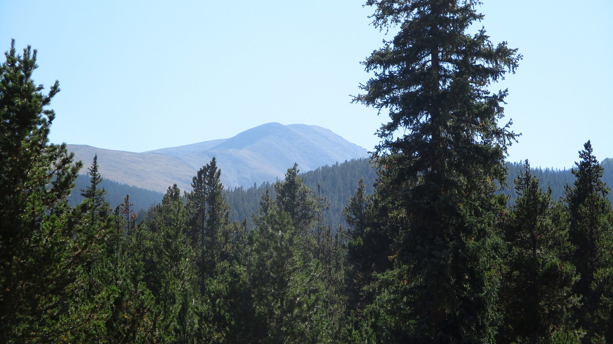
Emerging from the tree line to see the false summit
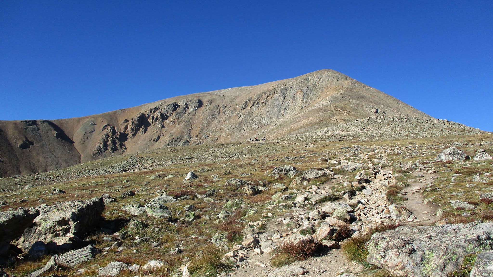
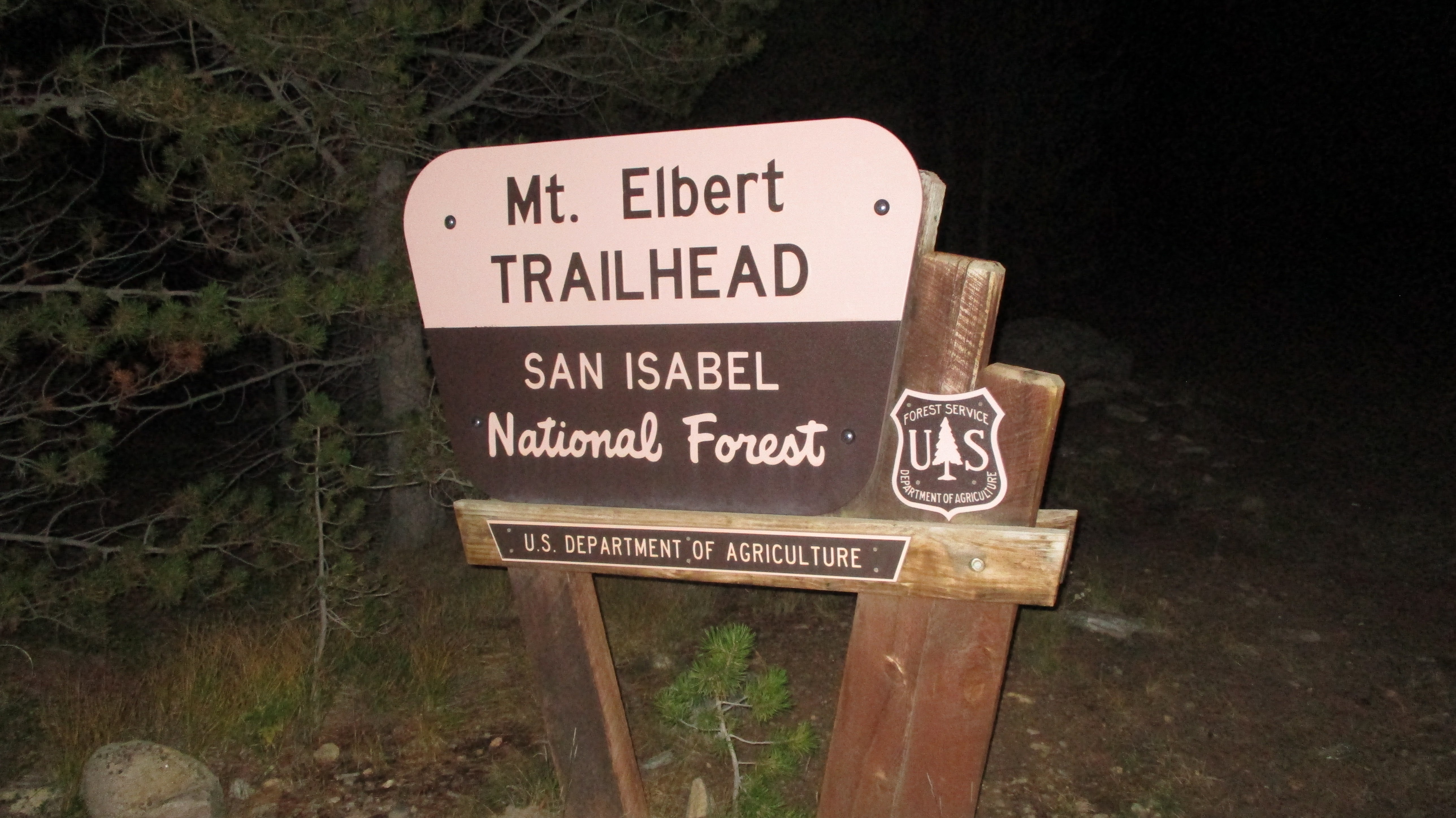
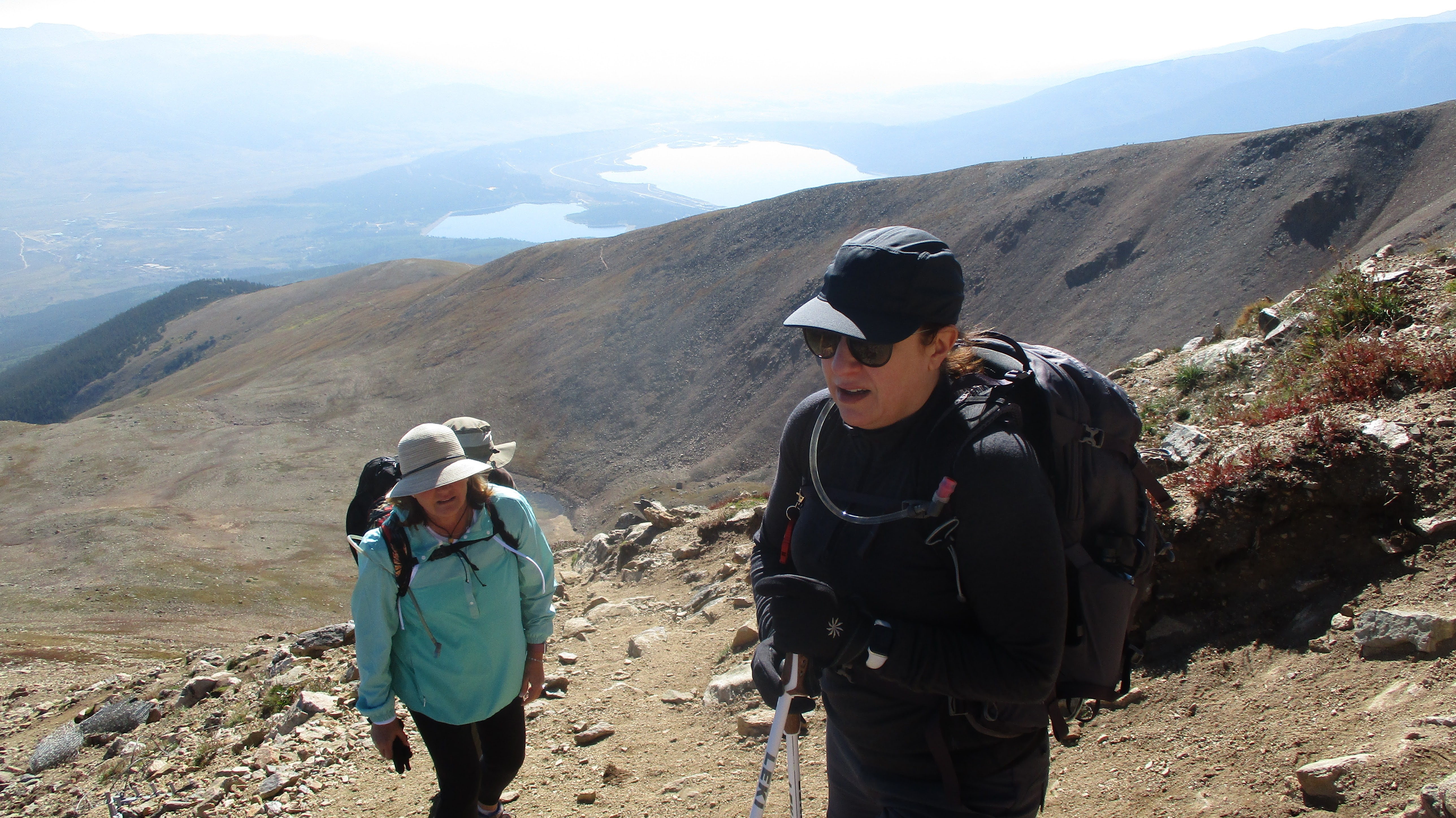
We spent the first hour in darkness, making up the distance to the trailhead and got a mile up the trail before dawn broke through the trees. The wide trail was in great shape. There was one long, steep section with no switchbacks below the tree line. I also referred to the tree line as the pee line -- the last chance to relieve yourself under the cover of forest. Jeff and Tracie had never hiked above 10000', but were handling the high altitude well. Leisa and I were comfortable above 10000', but hiking to 14000' was always a test. We continued up the winding trail on the hulking north ridge while a steady 10mph wind kept things cold. At the base of the false summit, the trail marched directly up the ridge. Groups of hikers were visible at various points drawing the line of ascent. This was the steepest section of trail, braided with parallel use trails, loose dirt, and rocks.
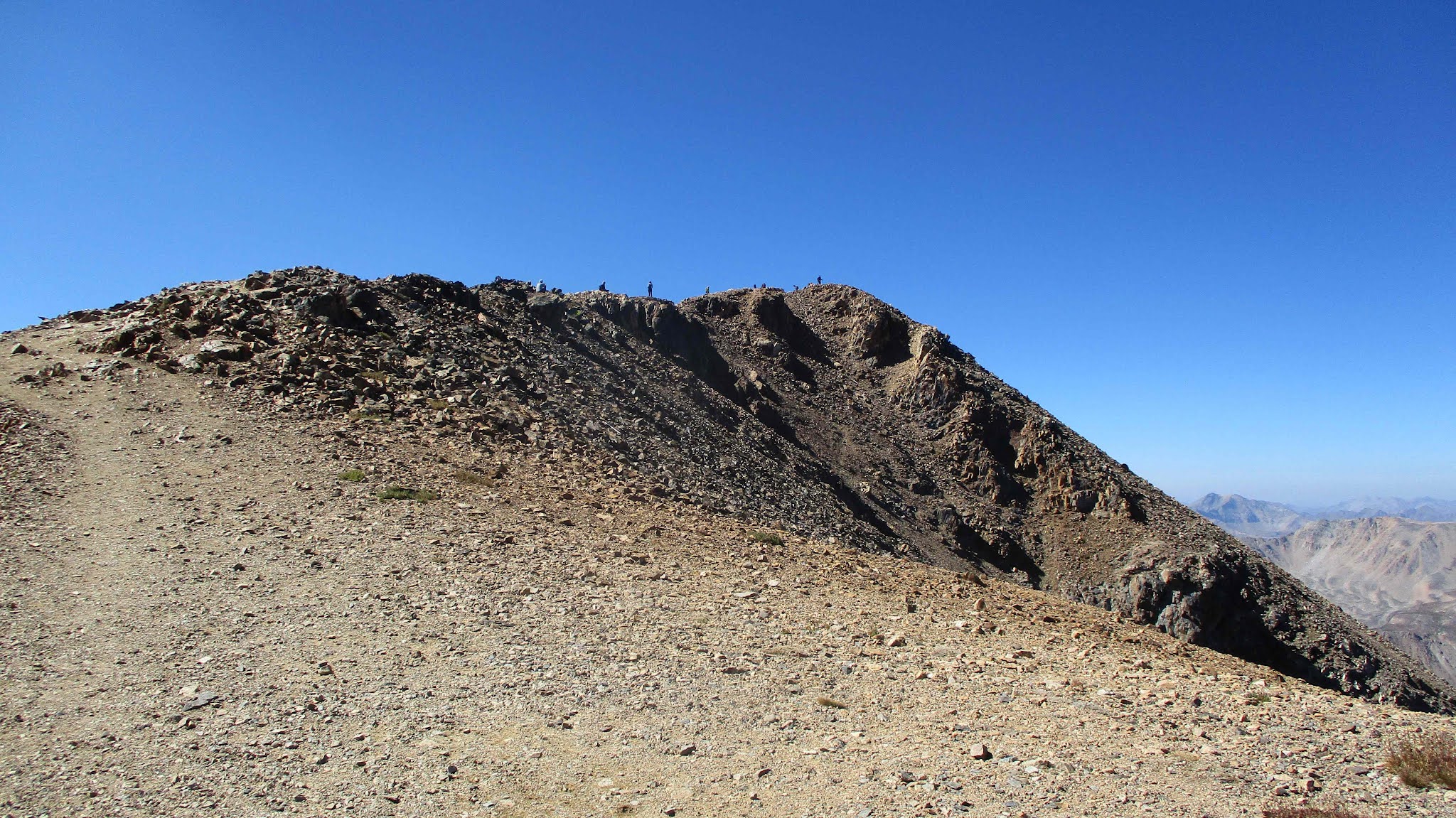
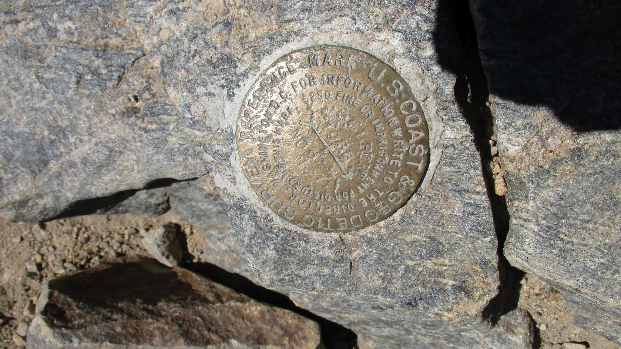
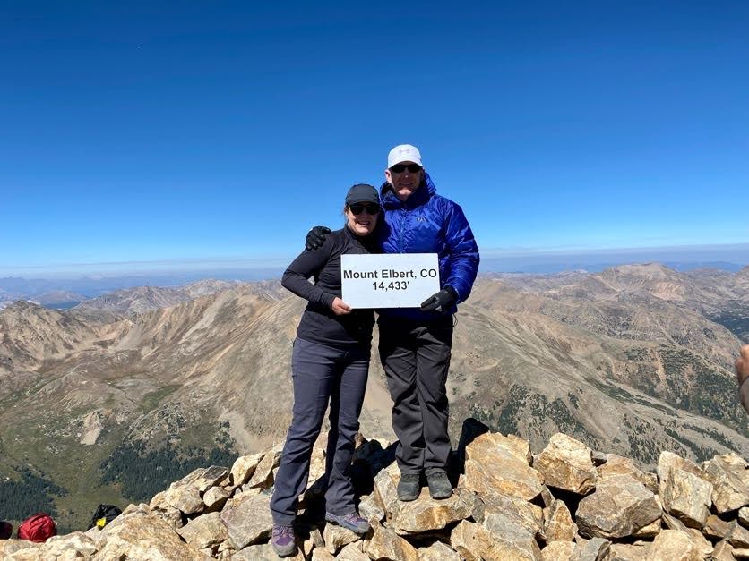
The final section of ridge started at 13500', and featured a 2nd false summit. While the slope was not as harsh, each step up was taken with less oxygen than the last. Our progress slowed here to a 100-steps-and-rest pace. However, nobody suffered any serious AMS. Inspiring views of nearby mountains and lakes far below improved as we got higher. After endless trudging, we reached the crowded summit and found a register and reference mark. The benchmark was long gone. Jeff signed us in and we were all relieved and pleased with the success.
2nd false summit, but not much more to go
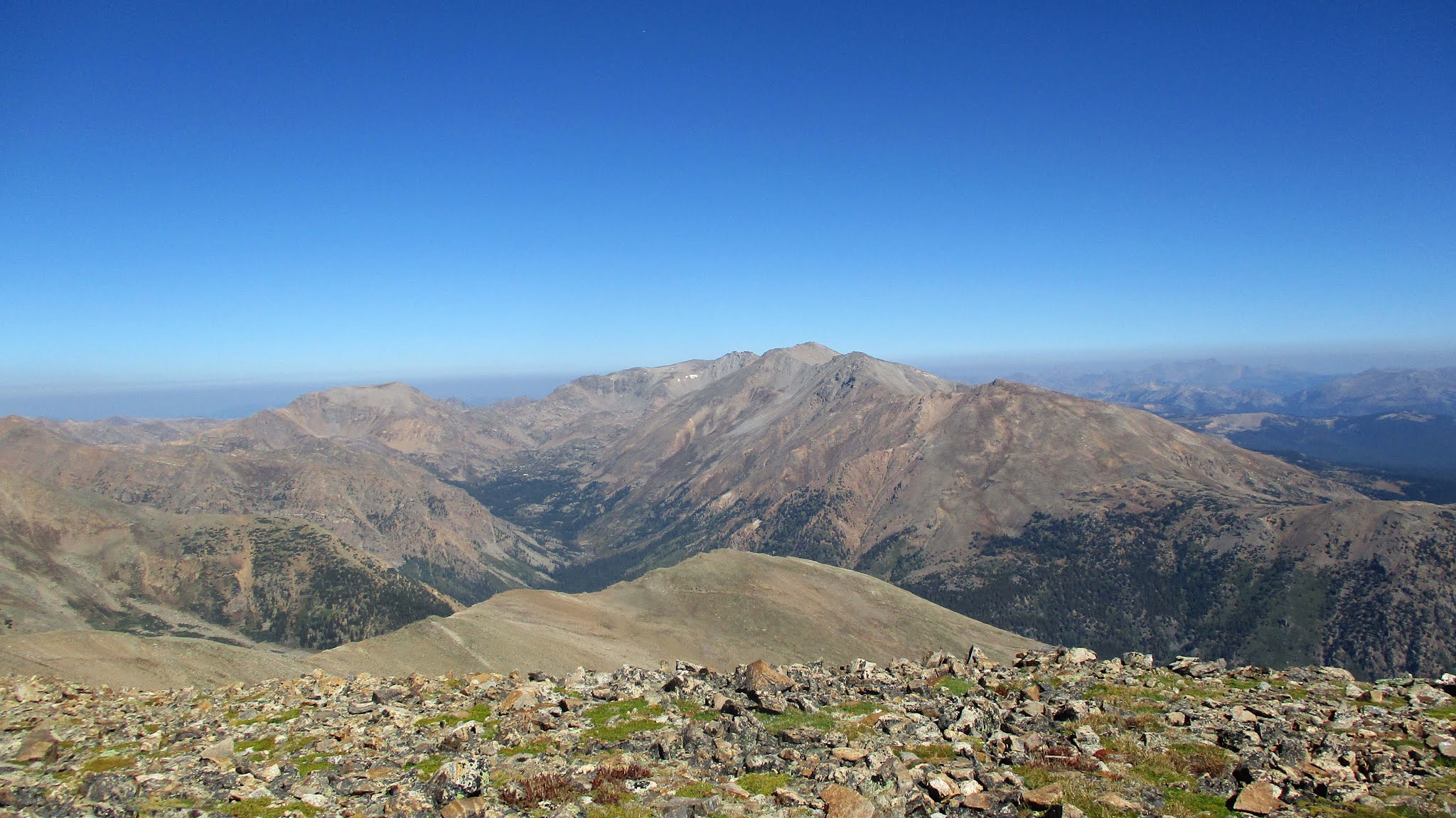
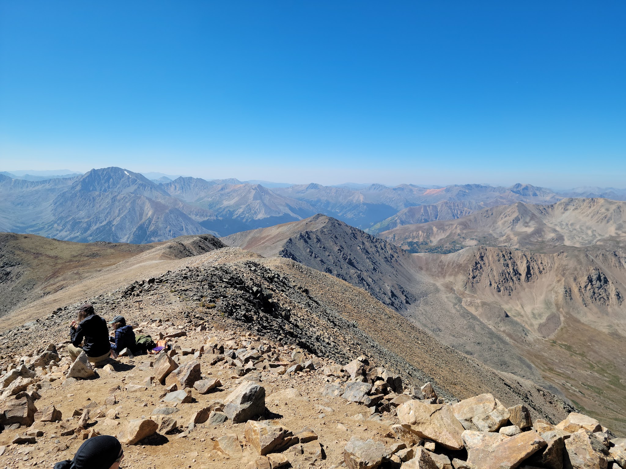
Looking over at Mt. Massive, #2 in Colorado and #3 in the continental US
While Elbert is considered one of the easier 14ers, it's still a difficult hike at high elevation and only easier in a relative sense. With less gain and distance (12.6 miles, 4600' gain), I felt it was quite a bit easier than Mount Whitney, but the main Whitney trail has no sections as steep as Elbert, the Rocky Mountain Highest.
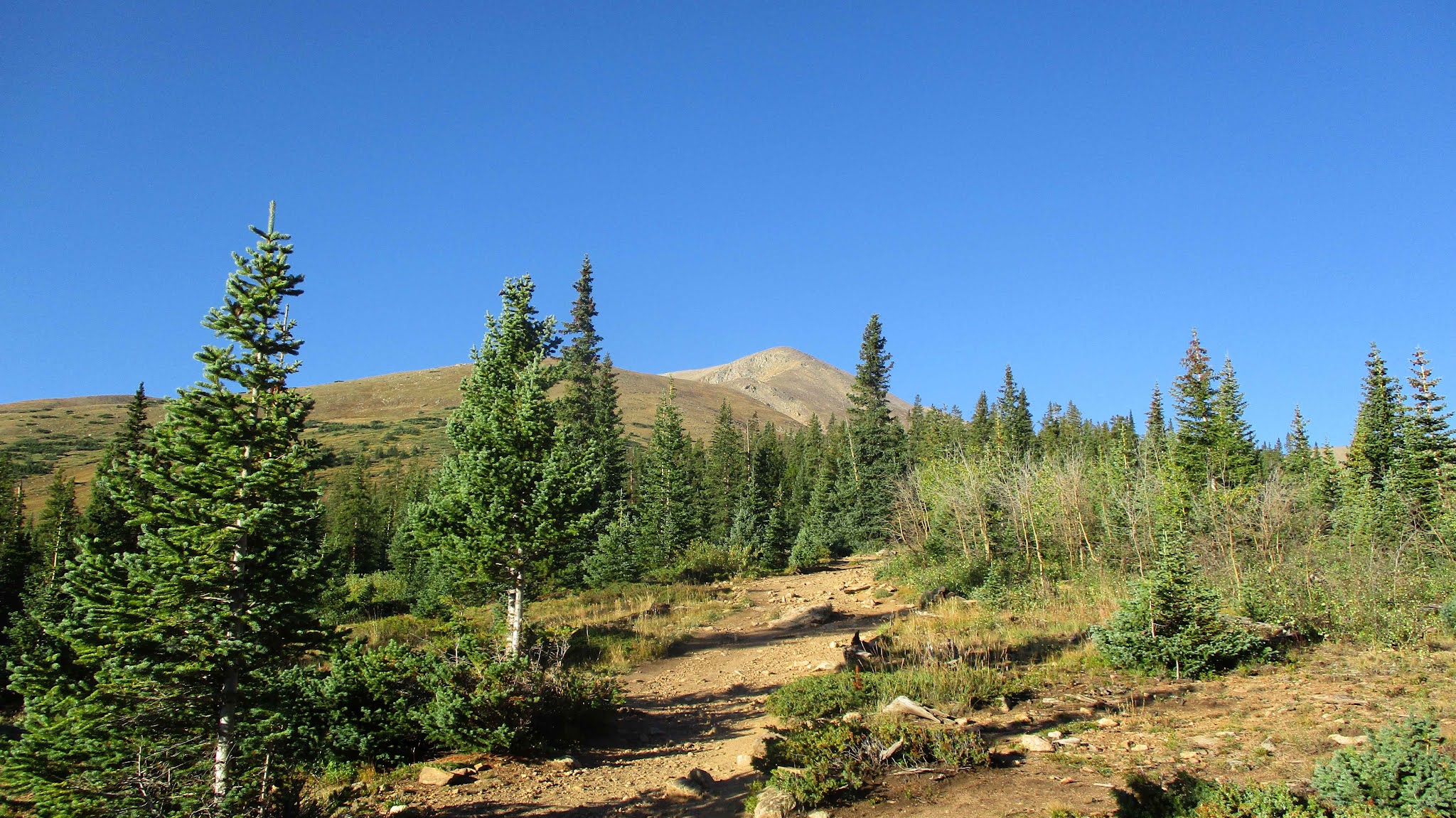
Elbert from the trailhead