
Has this ever happened to you? What did/do you do?
I was in the Sierras last month, hiking the Baker Lake trail. My plan was to spend the night at Thunder and Lightning Lake and maybe hop up Cloudripper the next day. This trail starts at the same place as North Fork of Big Pine Creek and then meanders over a ridge and down before going up over another ridge. After that second ridge the trail got real hard to follow, although I managed to track it through a meadow. Once I reached the shelter of some trees, it got a lot more indistinct. After another quarter mile or so I didn't see any more footprints, although I saw some rocks stacked off to my left. I sort of had a topo map, at least a printed page from Caltopo. On that map the trail makes a broad curve to the left and I was about halfway through that curve, maybe a mile or so from Baker Lake. At that point I couldn't see any trail so I walked over to where the stacked rocks were, no footprints there either. I walked up a short rise, same answer. I walked back to the last place I saw prints and then headed in that direction, which led me to a downed tree. Walking around the tree I couldn't see any prints on the other side for a good 75 yards each direction. Feeling confused, hot, tired and running low on water I decided to turn back. I walked the six miles to the creek where I happily filled up with water again and then back to my truck feeling good that I didn't do something stupid but bad that I couldn't find my way. I knew it would be hot, unfortunately the two springs and creek that are on the topo map were all dry so I ran through my three liters of water in a few hours of walking.
When I got back I looked at my track and compared to someone's AllTrails page and found that right about where I was the trail makes a jog to the right before curving back left. That detail wasn't on the map I had due to shrinking it to one page. There are only eight permits per day on this route so I didn't see anyone else until I was on the way down, by then I was way too tired and dry to think about turning around and following them. Plus, the young lady may have thought I was a stalker......
I guess one of these days I'll get another permit for that trail and try finding it again. I think it was the right decision, although I spent a little time sitting under a shade tree looking at the road to Coyote Flat. I had seen some 4WD group down in Big Pine that morning and assumed they would be going that way, but I didn't know what the terrain would be like going there and also couldn't see any sign of water between me and the road. The only water I was sure of was back in Big Pine Creek so that's why I turned back the way I came. I actually ran out of water before reaching the creek but knew it was less than a mile away downhill so not too worried.
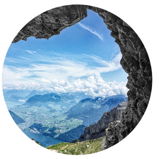
Bonus view of Palisades Glacier.
I kept thinking the trail would go over the ridge to my left - nope, more gradual climbing in the hot July sun.
Cresting that ridge, Coyote Flat way out ahead of me. I actually saw a vehicle going down that road.
Going through the meadow after the dry creek. In those trees on the other side is where I lost the trail.
Old artwork from 1933.
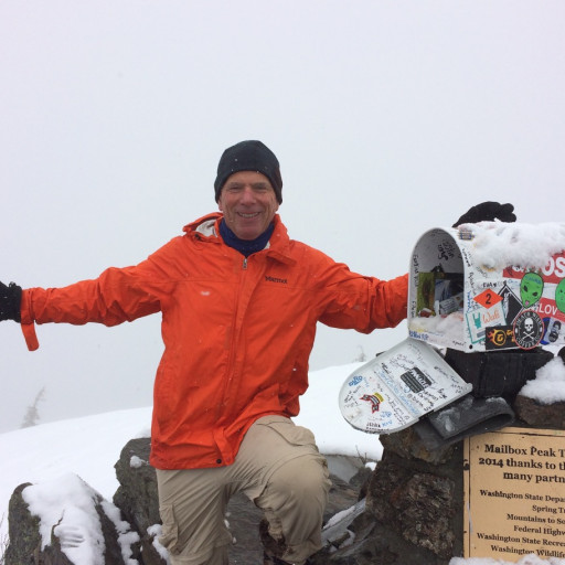
Getting Lost
-
JeffH

- Posts: 1366
- Joined: Sun Nov 28, 2010 7:09 am
You do not have the required permissions to view the files attached to this post.
"Argue for your limitations and sure enough they're yours".
Donald Shimoda
Donald Shimoda
-
David R
- OG of the SG
- Posts: 632
- Joined: Sun Jun 12, 2011 10:28 pm
I hike alone most of the time. I have become more adventurous as I have gotten more experienced but there is a clear point when I back down. Typically it is not a case of getting lost but usually technical or bushwhacking. If I am going to a new place I do try to have a mental picture of what I should be doing based on the map. If things look wonky I stop and pull out the map to jive what I'm seeing with what I have on the piece of paper. If something seems wrong like a trail disappearing and it should be there, I'll stop and look around as you noted you lost the trail and needed to back up to find where to go. There are also times where I am cocky enough that I don't care if I lost the normal route as I know that I'm going the right way and the difference is not a concern.
-
Sean

- Cucamonga
- Posts: 4257
- Joined: Wed Jul 27, 2011 12:32 pm
Usually I use official maps with good detail, and I memorize landmarks. If I need to print topos from online, I blow up the map into sections so I can see as much detail as exists in the original. Sometimes I carry several sheets on complicated adventures. If I lose the trail I follow landmarks to get to my destination. If that's not possible, I take stock of my situation and apply some thinking. Maybe I can follow my own footprints back to the trail and try different directions looking for cairns nearby.
It sounds like you did the right thing in returning. Being out of water on a hot day makes the situation dangerous. It's best to head back to safety when you aren't confident in moving forward into the unknown.
It sounds like you did the right thing in returning. Being out of water on a hot day makes the situation dangerous. It's best to head back to safety when you aren't confident in moving forward into the unknown.
-
JeffH
- Posts: 1366
- Joined: Sun Nov 28, 2010 7:09 am
I thought afterward that I didn't take the time to sit down and figure out exactly what I had and what to do. I know I was a little stressed - I didn't feel it at the time but thinking later I can tell that was the case. I don't have a single photo for about 40 minutes, which was basically this time wandering around. I never sat down to ask myself what's up. I may have been able to see some detail in the CalTopo app on my phone but it stayed in my pocket. With all that, the important thing about hiking is getting back to your ride so I managed to accomplish something.
And then the next morning I hiked Peak 6031 outside Bishop so that was a pretty good day.
And then the next morning I hiked Peak 6031 outside Bishop so that was a pretty good day.
"Argue for your limitations and sure enough they're yours".
Donald Shimoda
Donald Shimoda
-
Sean
- Cucamonga
- Posts: 4257
- Joined: Wed Jul 27, 2011 12:32 pm
You were around 10k feet, so the elevation probably didn't help the decision-making. Though it's a good sign that your natural tendency is toward playing it safe rather than taking big risks. Some people get in these situations and develop destination fever.JeffH wrote: I never sat down to ask myself what's up.
-
JeffH
- Posts: 1366
- Joined: Sun Nov 28, 2010 7:09 am
I'll do that if I can see where I am going, like up to a peak that is somewhere around home. I always tell myself "I've hiked with Sean so I can find a way". In this case I was going to a lake I've never visited and couldn't see any high landmarks through the trees. That CalTopo printout was not enough of a map for me to judge the route - lesson learned for the future.David R wrote: There are also times where I am cocky enough that I don't care if I lost the normal route as I know that I'm going the right way and the difference is not a concern.
"Argue for your limitations and sure enough they're yours".
Donald Shimoda
Donald Shimoda
-
Uncle Rico

- Posts: 1481
- Joined: Thu Mar 20, 2008 7:48 pm
I've not had your exact same experience, but I'd like to think I'd do the same thing that you did in a similar situation. You were solo, at elevation, low on water with no obvious place to replenish, and on unfamiliar ground on a warm day. Getting back safely to tell the tale and have another go at it in the future is the thing. Baker Lake ain't going anywhere anytime soon.
-
JerryN
- Posts: 200
- Joined: Sun Nov 11, 2012 4:01 pm
I was hiking up Haleakala from Hana once. Late in the day the trail ended in jungle. I bushwhacked for awhile. Then with no discernible trail and finding myself turned around, with dark and a potential storm I bailed. I knew that I should head downhill and off towards a ridge. After about an hour I picked up the trail back to my car, off to the nearest town for a beer as the sky opened up with heavy rain. Seemed like a disappointing decision to bail when I made it, but a good one when I was sitting under the restaurant canopy having dinner. My rule is if I am debating with myself about going on, then I'm bailing.
-
David Martin
- Posts: 86
- Joined: Sun Nov 08, 2020 7:08 pm
A few years ago I was hiking solo in the mountains of Reunion Island (a very beautiful place). On the way out I passed many trail junctions, and keeping to the correct route was tricky. Mid-hike, a thick fog rolled in and before I knew it, visibility was about zero. I was in a foreign, cold, damp, unfamiliar place with a compass and handout map, but no intuitive feel for where I was, or what was where. But I'd been recording my hike on Strava, so it was easy to re-trace the way back to the start point. I got back to the car just before my phone battery died. Visibility was maybe 10 yards most of the way back.
Boy, that was a valuable lesson! These days I create a custom AllTrails map for almost every hike I do, download it to my phone so I don't need cell coverage, and also record on Strava. I carry 2 small power banks and 2 phone cords which is enough to run my phone continuously for about 10 hours. My hiking buddy does the same. It’s just impossible to get lost that way and if we make a wrong turn, we know very quickly. We tend to walk somewhat apart, but we also run Life360 which, when we have cell coverage, will tell us roughly where the other one is. Electronic bread crumbs! Thank you, technology!
Boy, that was a valuable lesson! These days I create a custom AllTrails map for almost every hike I do, download it to my phone so I don't need cell coverage, and also record on Strava. I carry 2 small power banks and 2 phone cords which is enough to run my phone continuously for about 10 hours. My hiking buddy does the same. It’s just impossible to get lost that way and if we make a wrong turn, we know very quickly. We tend to walk somewhat apart, but we also run Life360 which, when we have cell coverage, will tell us roughly where the other one is. Electronic bread crumbs! Thank you, technology!
-
tekewin

- Posts: 1385
- Joined: Thu Apr 11, 2013 5:07 pm
I know this is a late reply, but this is why I usually load up a GPS track. I don't usually worry about it if I expect to follow a trail, but in a new area, you never know what you might run into. I don't always print a map, unless I am really worried about navigation. I also don't worry about getting off track as long as I think I can course correct.
You absolutely did the right thing by going back when low on water. Better to fight another day. It's not unusual for me to require a second attempt on some peaks if I run into something unexpected. It's always easier the second time and adjustments can be made.
You absolutely did the right thing by going back when low on water. Better to fight another day. It's not unusual for me to require a second attempt on some peaks if I run into something unexpected. It's always easier the second time and adjustments can be made.
-
David Martin
- Posts: 86
- Joined: Sun Nov 08, 2020 7:08 pm
A little off topic, but I'm always amazed at how some animals can travel long distances accurately, even in the dark, even to places they’ve never been to before.
I came across a great New Yorker article called “Why Animals Don’t Get Lost" that explains part if it, describes some “supernavigators”, and mentions a couple of books about this.
Among other things it turns out that some of it comes down to sensitivity to sub-sonic sounds, the polarization of light, and magnetic fields. Some animals also have a means of dead reckoning, and can intuitively factor in speed and the passage of time.
It seems that many animals put us to shame in the navigation department (though I wonder if some tribal peoples or map-less societies possess any of these natural skills). A very interesting read.