I've been hiking the desert divide of the San Jacinto range recently. This is the ridge that divides Palm Canyon (by Palm Springs) from the pine country around Garner Valley and Lake Hemet. I was uninterested in these little bumps in my younger peak bagging days but I'm running out of new places to explore. Did Pyramid and Spitler peaks for my last two hikes, both pleasant but neither worthy of a trip report. This time I summited Red Tahquitz.
It's been quite a drive out there since the 243 and 74 are still closed. Had to take the 15 to the 79 to the 371. Got to the national forest ranger station around 8:30 and got a permit for the Devil's Slide trail from Humber Park. This trailhead has a quota on summer weekends and can fill up by mid morning. There was in fact a ranger checking permits at the trail entrance, which is pretty uncommon in my experience. If you cannot get a permit for Humber Park another option is to come up South Ridge trail.
The Devil's Slide is a nice trail and in great shape. Don't let the name fool you. It is very gradual and gentle the whole way up. Early views included Tahquitz rock above and Suicide rock to the north.
Passed a few little springs and some cool rock formations before reaching Saddle Junction (2.5 miles, 1700' gain). Things level off here. Took the trail towards Chinquapin Flats/Tahquitz Peak then stopped for a snack break.
Just over one half mile further there is another junction where I turned right toward Tahquitz Peak.
There were lots of little meadows and creeks in Tahquitz Valley and the usual mixed conifers of the SoCal high country: Jeffery, Ponderosa and Sugar pines, White firs
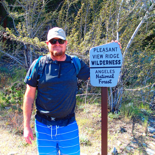
Down but not out:
I hit the PCT junction and turned south. According to a trip report online there is supposed to be a use trail to the summit about 3/4 mile from there. I kept an eye out but could not find it. Perhaps the Mountain Fire and the years of trail closures that followed have obliterated it. Or maybe I just missed it. In either case I went up the ridge and found my way to the peak.
The desert divide to the south
View to the north, San Jacinto peak and surrounding mountains
To make a loop out of it I took the PCT north back to Saddle Junction
A great day and perfect weather. Mid 60's and lots of shade. 13 miles, 2900' gain. Got home pretty late because of the drive. Tired and happy.
Red Tahquitz via Devil's Slide
-
tallsquirrel
- Posts: 25
- Joined: Thu Nov 16, 2017 6:37 pm
You do not have the required permissions to view the files attached to this post.
-
Girl Hiker

- Posts: 1458
- Joined: Fri Apr 04, 2014 7:46 am
-
Anthony

- Posts: 333
- Joined: Mon Jun 05, 2017 11:53 am
I've been wanting to hit Tahquitz, but haven't felt like dealing with the detour. Looks great though...
-
Mike P

- Posts: 1005
- Joined: Tue Oct 02, 2007 10:48 pm
I'm surprised that you couldn't find the trail to Tahquitz Peak . It's really a fairly big trail... more than a use trail. The peak and fire lookout is worth seeing on your next visit up there.
-
tallsquirrel
- Posts: 25
- Joined: Thu Nov 16, 2017 6:37 pm
There's a mixup going on here. I'm talking about RED TAHQUITZ peak, not to be confused with Tahquitz peak.
-
Mike P
- Posts: 1005
- Joined: Tue Oct 02, 2007 10:48 pm
Oops, sorry, nelange! I didn't catch the reference to Red Tahquitz.
-
JeffH

- Posts: 1388
- Joined: Sun Nov 28, 2010 7:09 am
Great day out in the mountains, I like the pictures with the dark red color.
"Argue for your limitations and sure enough they're yours".
Donald Shimoda
Donald Shimoda
-
tekewin

- Posts: 1392
- Joined: Thu Apr 11, 2013 5:07 pm
Looks like a great area. Your summit shot shows Antsell Rock (2nd summit on the ridge) which was super fun. The permits seem like a pain, but probably worth it.