Day 1:
We dropped off one car at Cajon Junction, where Highway 138 intersects I-15, then drove up through Wrightwood on Highway 2 and parked at the PCT trailhead at Inspiration Point.
It was cold and sunny that morning, in the thirties, so we left our layers on. In a way, we were glad that it was uphill. Maybe it would help us get warm.
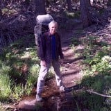
The locked gate on East Blue Ridge Road 3N26 where we started our southbound hike on the PCT
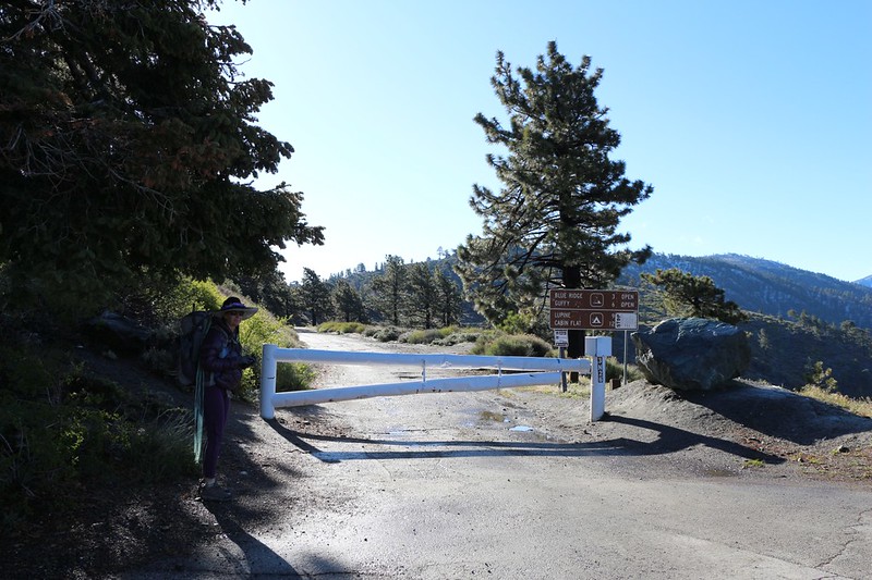
Vicki wearing her purple outfit (with goose down jacket)
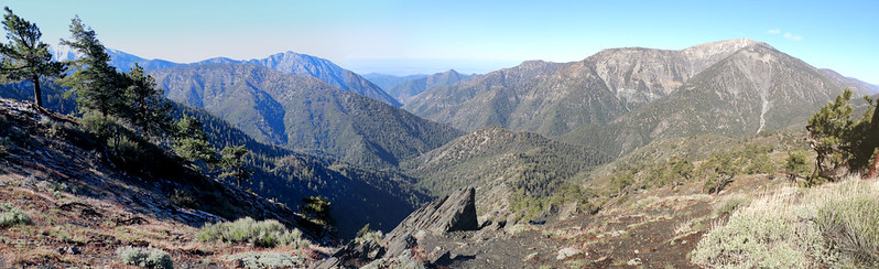
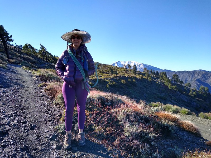
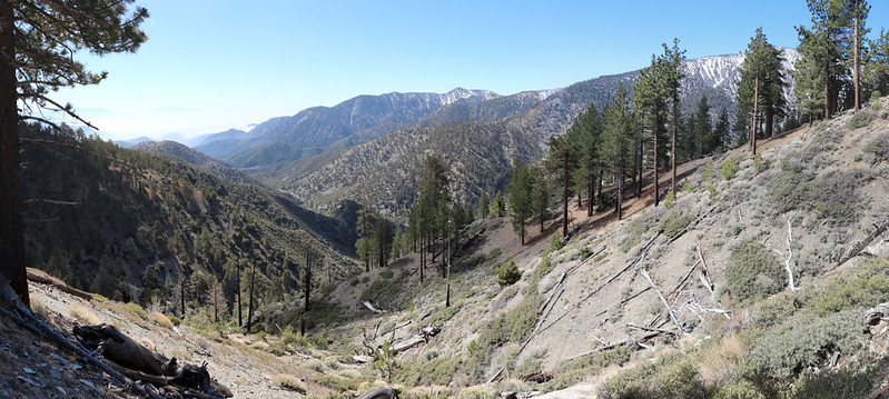
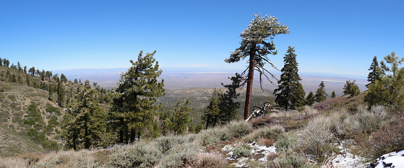
Panorama view southwest, with Mount Baldy (left) and Baden-Powell (right)
There was still a trace of residual snow from a storm the day before
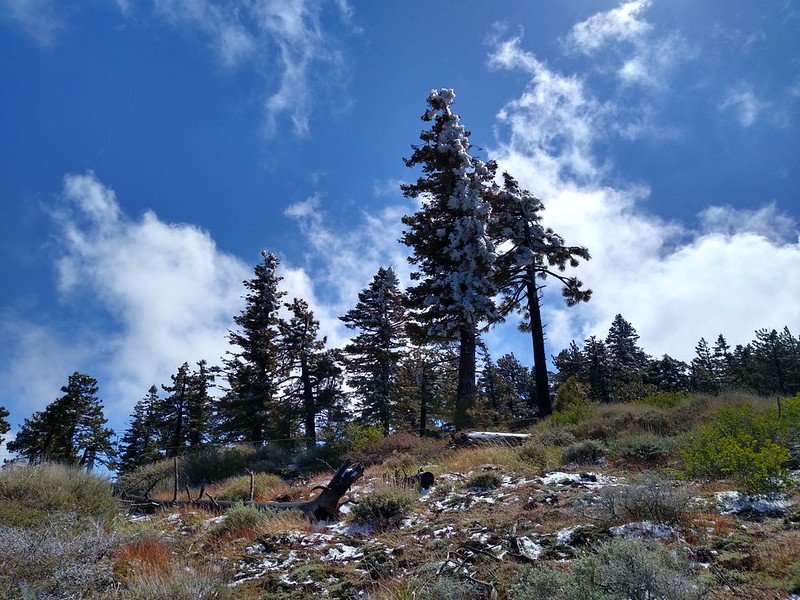
Rime Ice on some pine trees. As the sun rose it started melting and falling everywhere.
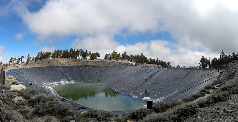
Workers were repairing one of the artificial ponds on Blue Ridge above the Mountain High Ski Area - it's deep! The other pond was full to the brim.
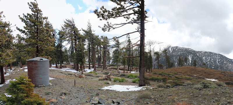
The old empty water tank at Guffy Camp
View northeast toward Victorville from Guffy Camp
We made our camp just east of the Acorn Trail with a fine view north
The previous weekend, my son and I had hiked up the Acorn Trail and left a two-gallon cache of water behind a downed tree. We could have gotten water from Guffy Spring and carried it a mile or so to here, but the cache made life a lot easier.
We'd hiked about six miles that day, and had an easy time of it. It was fun walking up on the ridge with all those views, and the rime ice was an unexpected treat. This was the Friday before Memorial Day weekend, so we'd woken up at 2am and driven up here from San Diego extra early to beat the LA traffic, so we were completely exhausted by the time we set up camp. We ate dinner and crashed before the sun went down.
Day 2:
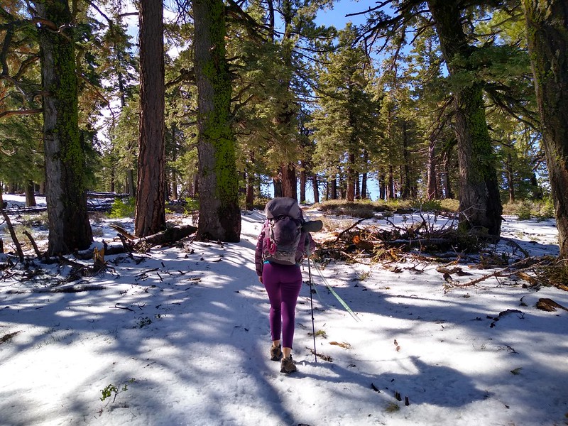
It was quite cold in the morning at 8200 feet elevation, but the sun came up and hit our tent right at the crack of dawn. We stayed inside and let it warm the interior for a while before we bothered getting dressed for the day. A fifteen-degree-rated goose down sleeping bag is hard to leave under those conditions. But we had no choice, as we had about twelve miles (and 3200 feet downhill) to hike that day in order to get to our next water cache. So we packed up, ate breakfast, and bugged out.
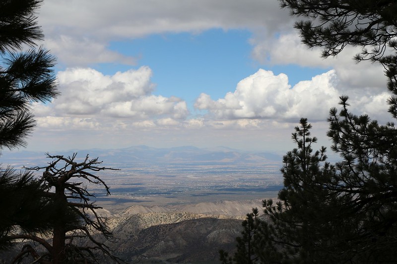
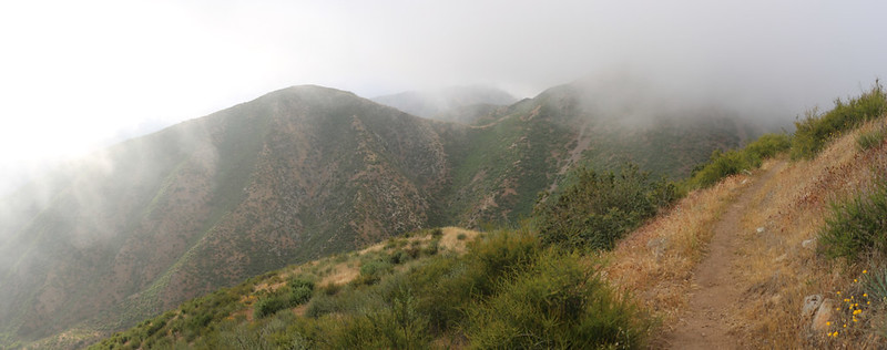
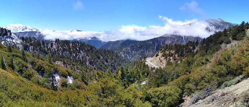
The PCT followed the ridge all day, and there were views in every direction. On the map, it's called Blue Ridge until the trail starts descending, and after that it's called Upper Lytle Creek Ridge. But it's the same ridge, and parallels the San Andreas Fault Line that runs down below in Lone Pine Canyon. We started in Pine Forest, and it gradually gave way to Chaparral. We also entered the zone of the Blue Cut Fire (in 2016) and got to see how the plants were recovering.
Zoomed-in view east toward San Gorgonio Mountain from the trail east of Wright Mountain
View southeast toward Telescope Peak (center) with the North Fork of Lytle Creek below us
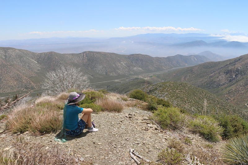
We took a break with a view into Lone Pine Canyon and the San Andreas Rift Zone
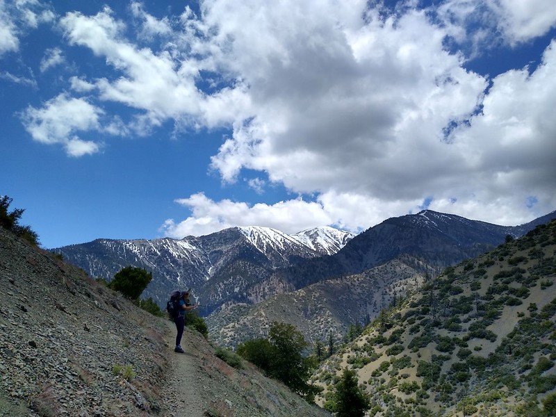
Mount Baldy came into view (right of center) as we continued down the PCT on Upper Lytle Creek Ridge
Looking northwest up Lone Pine Canyon Road as it heads toward Wrightwood
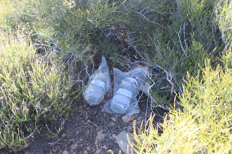
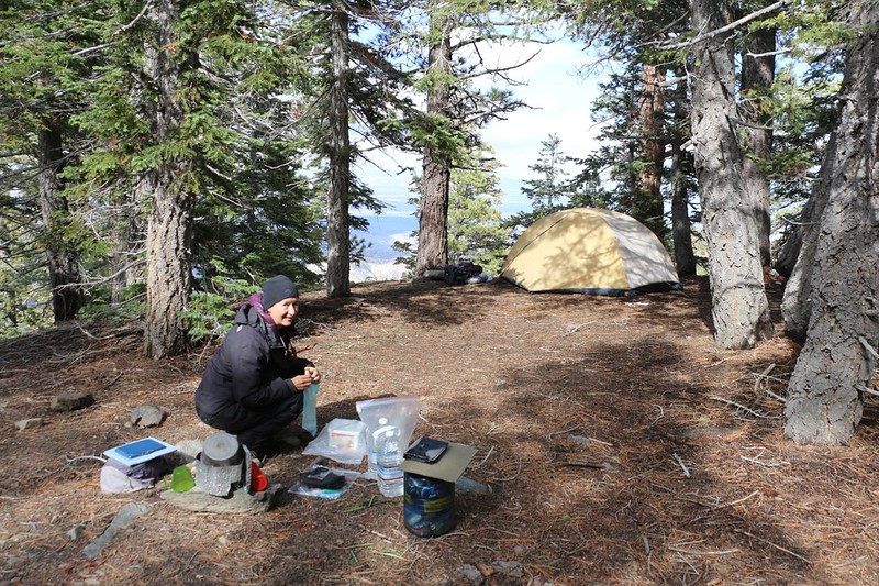
Our water cache near road 3N29 - now we can camp in comfort
Twelve miles is a big day for wimpy hikers, and we were happy to get to bed early. We also knew that a storm was forecast to arrive tomorrow, delivering only a small amount of rain (and snow high on Blue Ridge) but with winds gusting to forty miles per hour! Being up on a ridge like this was really asking for a beating, so we set the alarm early, in order to hike out before the tent got soaked.
Day 3
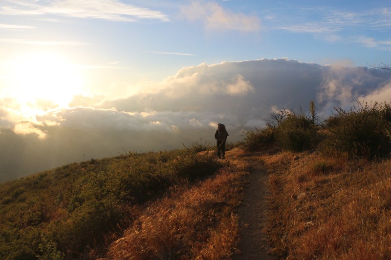
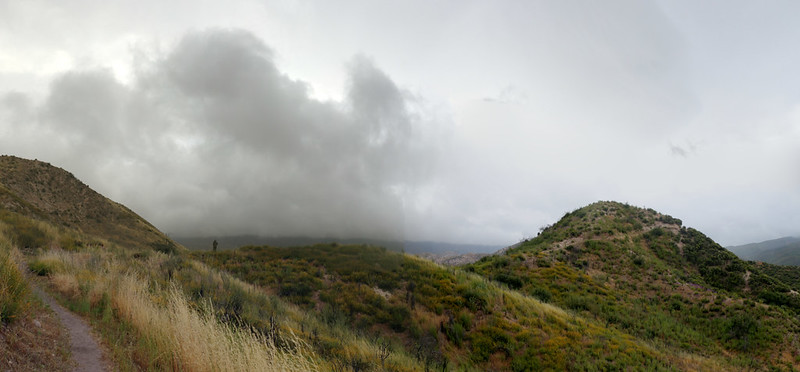
We woke up in the dark and packed everything we could while still inside the tent. The winds were already gusting. I peeked outside and all I saw were foggy outlines of the nearby bushes. We ate a cold breakfast, then threw the gear outdoors and packed up the tent, then got our packs ready. There were plenty of clouds in the sky, and most of them were blowing along rapidly out of the southwest. The fog came and went as we became enveloped by random swaths of ground-hugging clouds. With our goretex raingear on, we were protected from the wind, and were able to enjoy the spectacle instead of suffering.
Onward and downward! We had 2300 feet to descend and ten miles to hike, and we'd be back at the car. The sooner we got there the better.
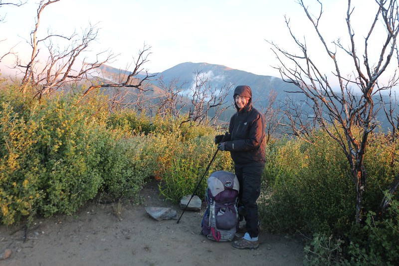
It was cool and breezy but we got ready to start hiking before 6am
Morning light as we head downhill from the top of Upper Lytle Creek Ridge
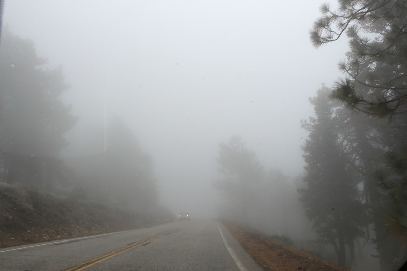
Clouds and breeze as we descend into Lone Pine Canyon.
We got wet from mist when inside the clouds, but dried out again once the clouds blew away. We were in no danger from hypothermia thanks to our gear, but this is the type of weather when hypothermia is most likely for the unprepared.
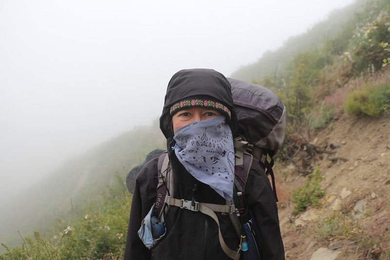
It's cold and windy so Vicki uses a bandanna to protect her nose and lips
It took us two hours to crank out the first 4.5 miles, and then we were down at the bottom of Lone Pine Canyon. The winds were truly howling through there. We met a bunch of hikers heading uphill into the teeth of the storm, and we tried to warn them, advising them to take a "zero day" (zero miles hiked) but they had it all figured out, so our words of wisdom were wasted. There were a few saner people hunkering down in their tiny tarp-tents, but with all that wind they didn't seem like much shelter at all. Still, they were in their sleeping bags and bivy sacks, enjoying the weather rather than suffering.
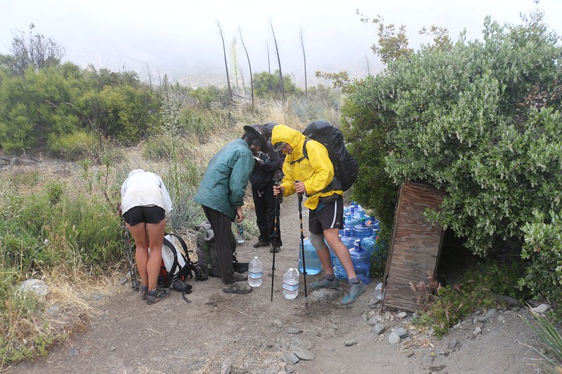
Swarthout Canyon Road water cache for northbound thru-hikers - no more water for 20 miles!
And the maniacs were mostly wearing shorts! Madness. Vicki and I had at least three layers on, top and bottom, plus hats and gloves.
After crossing Lone Pine Canyon, we hiked along the base of Ralston Peak, then climbed up and over a ridge into Cajon Canyon. Now, one of our original plans for this hike was to leave the car on Swarthout Canyon Road, back by the big water cache, but in the end we decided to continue on to I-15, even if it meant crossing several sets of railroad tracks and the noisy freeway, which sounded like an industrial wasteland rather than a wilderness experience. As it turned out, this may have been the best decision we made this trip, as this next section of trail was the prettiest and most interesting one of all. It's a bit over five miles, with only 500 feet of elevation change, and would make a great dayhike with two cars, or a long day with one car (and you could eat lunch at the McDonalds at the eastern end).
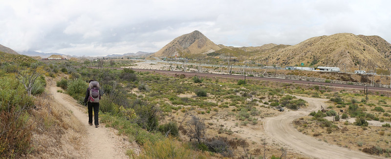
The PCT stayed high along an exposed ridgeline with great views as we headed east
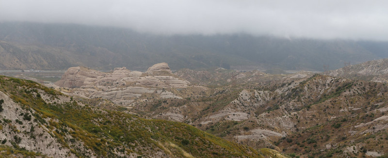
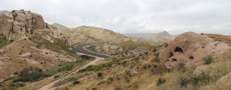
A southern offshoot of the Mormon Rocks comes into view as we head into Cajon Canyon
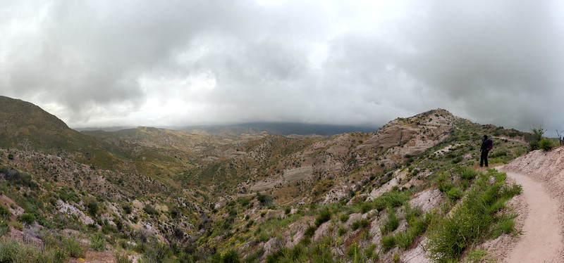
Yet another panorama shot of the view east
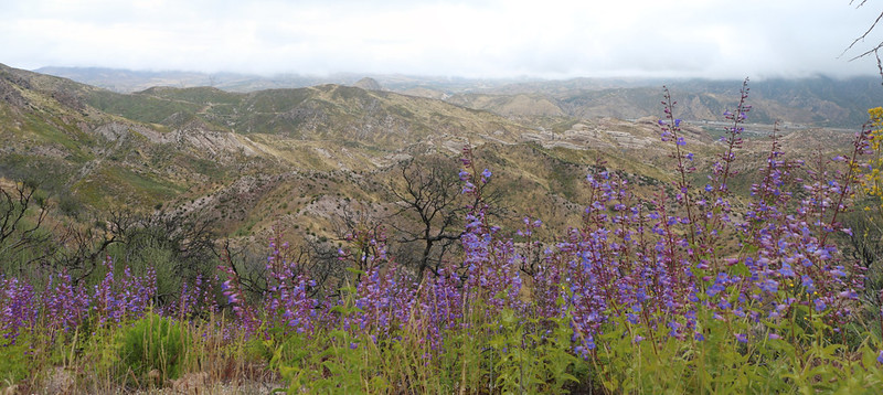
The flowers were superblooming at this altitude in Cajon Canyon
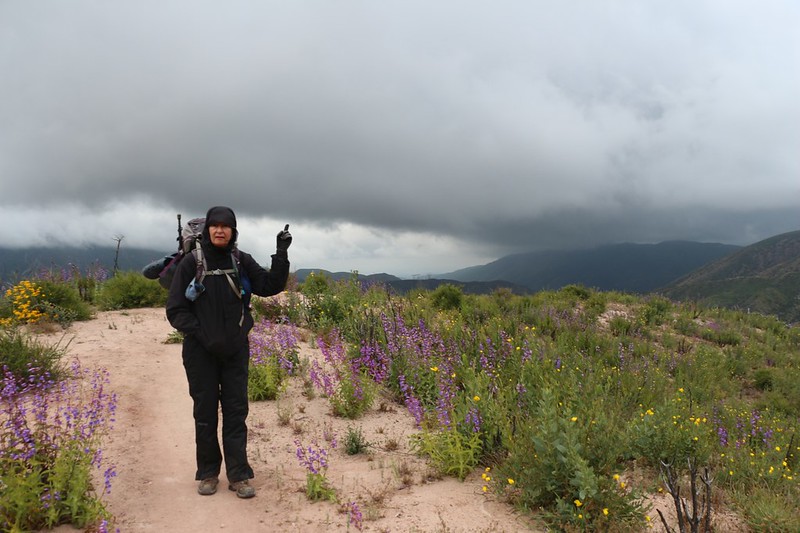
Dark clouds were looming in the south as we realized that another rainy event would impact us soon - so keep on hiking!
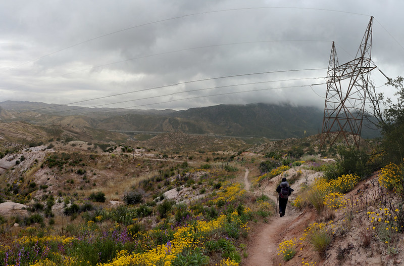
Superblooming wildflowers were abundant as we continued past some power lines
Railroad tracks and sandstone rocks
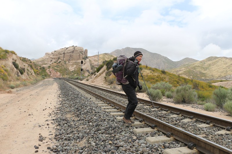
Vicki crossing the westernmost railroad track - this is a very active track!
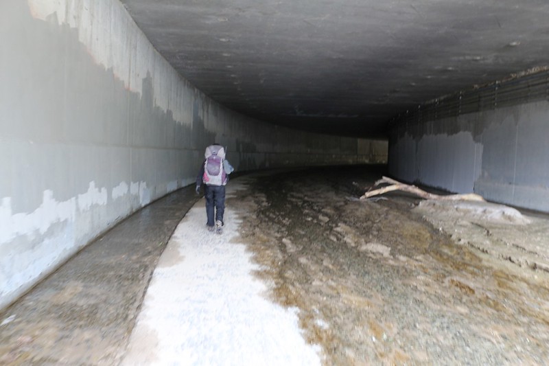
The trail goes under the second set of railroad tracks through that big steel culvert
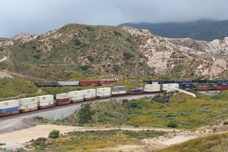
Zoomed-in view of two freight trains going opposite ways. You can see the trail running along the hillside in the background.
We were getting closer to I-15 and only had one more set of train tracks to cross, this time under a concrete trestle.
There's water flowing in the curving culvert under I-15 but not enough to get our shoes wet
After that, we walked up the road and loaded our backpacks into the car. We ignored the PCT-hiker-famous McDonalds this time. We had other plans.
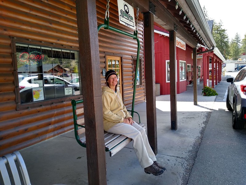
We drove back to Wrightwood and had a great meal at the Grizzly Cafe - and we deserved it!
We knew from the beginning that there was going to be a storm that Sunday, and we decided that we were prepared enough to try sleeping in the back of the new Rav4. Our original plan was to do that up at the Blue Ridge Campground, but with the gate locked, well, we might have to stealth-camp in the parking lot along Highway 2.
And when we arrived back at Inspiration Point, the gate was open, but we still decided not to drive up to the campground. The weather was downright miserable! The wind was already blowing like stink, with clouds and drizzle and sleet blasting over the ridge. It wasn't a very "inspiring" view, but it sure was impressive. We sat in the car for awhile, with the heater on, listening to the wind. Then we made the decision to Go For It, and I got the Rav ready for occupation. Our Rav4 was the "Adventure" model, after all, and this was looking at least a tiny bit adventurous.
Rime Ice was already beginning to form on the pine trees by the gate to Blue Ridge Road
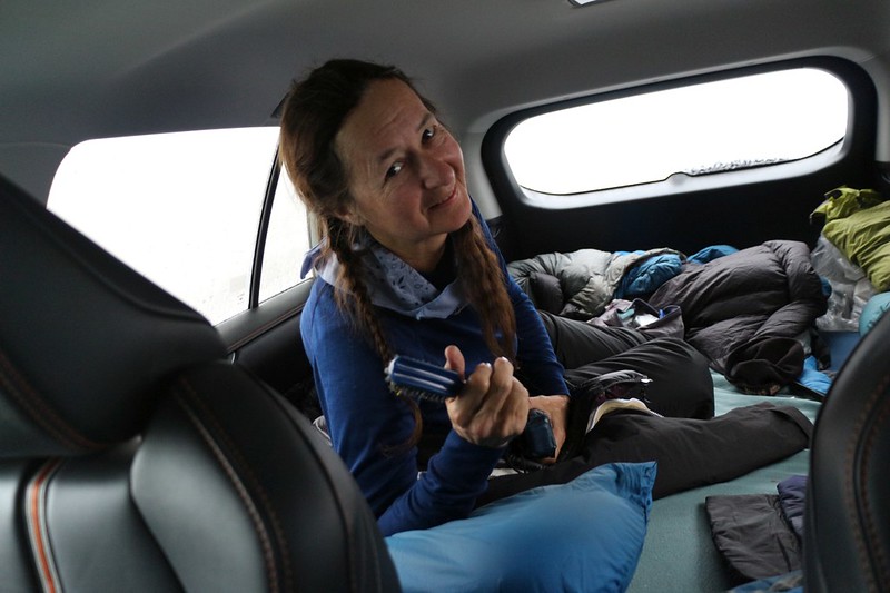
Vicki staying warm in the back while the wind howled outside - better than a tent!
The windows were plastered with sleet, so that we could barely see outside, but we were still keeping our eyes peeled for PCT hikers. Anyone who came down off Blue Ridge in that storm might be in need of help.
About a half hour before sunset, we heard some voices and discovered a soaking wet and semi-frozen young couple heading toward the concrete pit toilets. Vicki and I had been talking earlier about how they would be a stinky, yet windproof, form of shelter. And probably had been more than once. So we opened the car door and asked them if they needed a ride. You never saw such grateful faces! They were having one of the worst days in their lives. It turned out that the young man had left the zipper on a pack pocket open by accident and had lost his wallet in the snow somewhere higher up on the ridge, and then they couldn't find it once they noticed. This was a classic hypothermia symptom.
Anyway, even though the Rav was 4WD, we had it set up so nice inside that Vicki decided to give them a ride in the Corolla. So they loaded it up and drove off, leaving me in the Rav. What a stupid idea that was, in retrospect! Buddies aren't supposed to split up during the middle of a storm. So I sat there for a half hour, kicking myself while worrying that she might not make it back up the hill.
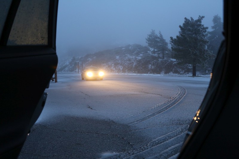
Vicki barely made it back to Inspiration Point as it got dark and the road froze over
She said that the last hundred yards were the worst, as the car's traction control system continuously beeped at her when the front wheels were spinning. But she made it back, and that was what mattered. And we helped some people out, so it's all good.
After that, we slept the good sleep, under plenty of goose down, while the storm blew itself out.
Day 4:
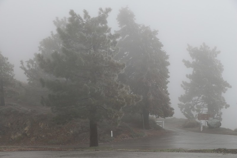
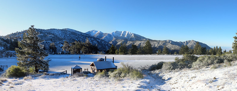
Dawn was bright and clear and calm. It was about 20 degrees outside, and everything was coated in a layer of ice. We got out the microspikes we hadn't carried on the long hike (thank goodness) and they worked great. We knew that we weren't going anywhere until the sun rose high enough to melt the roads, so we had a great time wandering around our Wintry Wonderland.
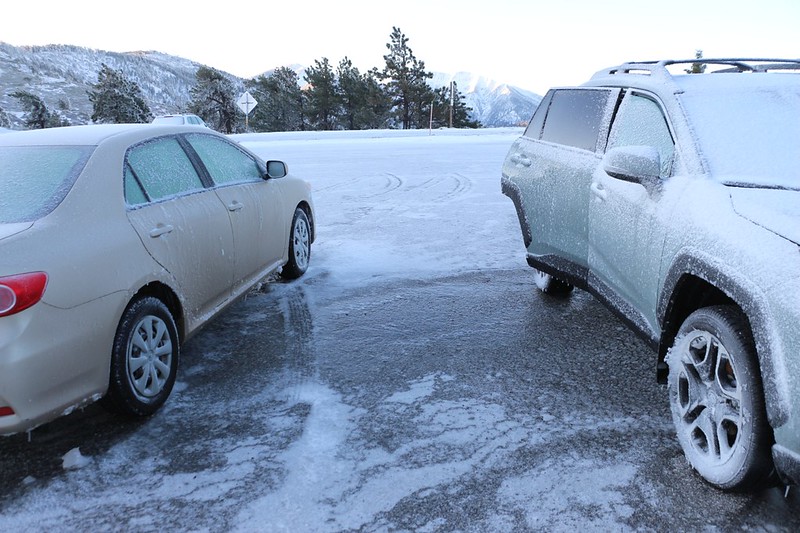
Slippery Ice between the two cars in the Inspiration Point parking lot at dawn
Panorama shot at dawn of Mount Baden-Powell
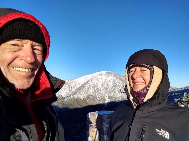
We had to take a selfie with Baden-Powell but the morning light was a bit too bright
Frosty panorama view southeast toward Mount Baldy from the PCT above the parking lot
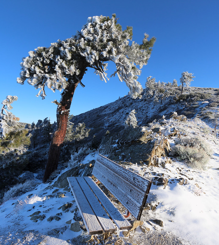
Wooden Bench and Pine Tree covered in rime ice on the ridge above the car
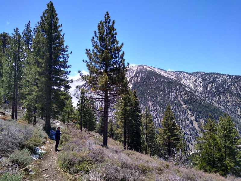
We cooked some breakfast on the picnic table and drank our coffee in the morning sunshine. It was looking to be a beautiful day. And by 9am, the roads were melting, so we dropped off the Corolla down at Vincent Gap, then drove the Rav back to our overnight spot. I had brought a day-pack just for this final 4.5 mile section of trail, which neither of us had ever hiked before. If we started up by Blue Ridge Road, it would be a net downhill hike of about 900 feet. That's how we like our hikes: Downhill. Both ways!
Melting Rime Ice on the Pine Trees from the PCT on Blue Ridge
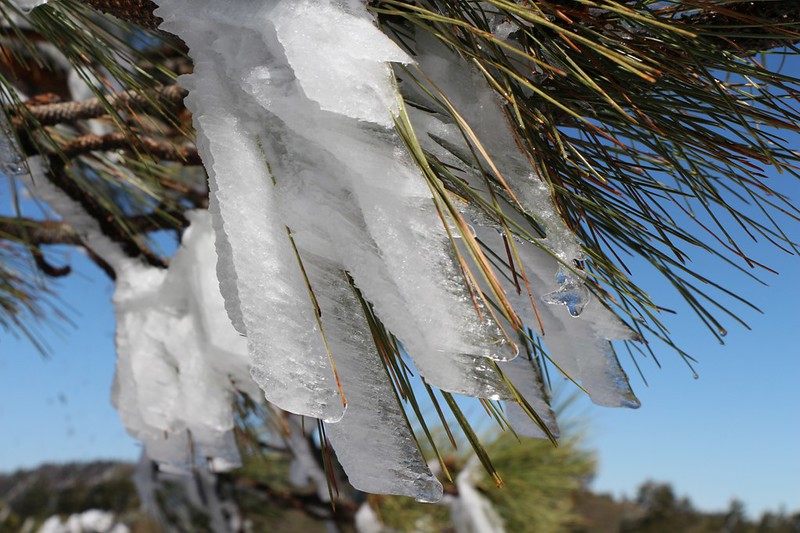
Close-up of the Rime Ice as it formed on individual Pine Needles
View north over the Mojave Desert toward El Mirage
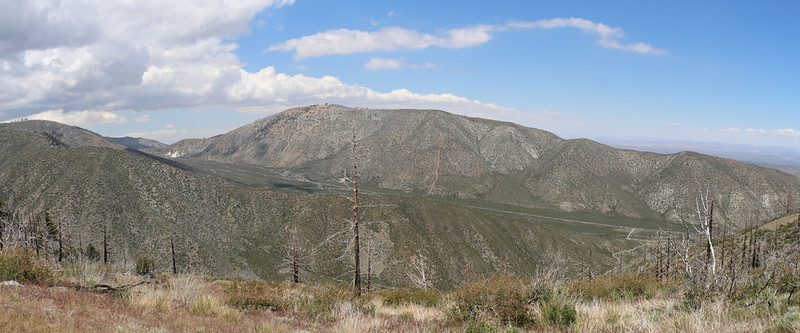
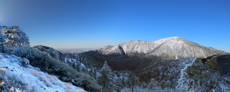
Panorama view south from Blue Ridge with Mount Baldy (left, and Mount Baden-Powell, right)
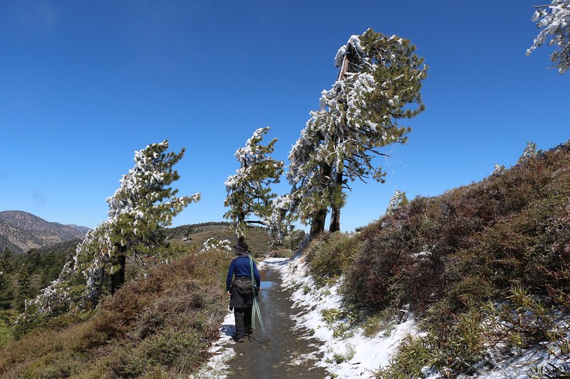
The PCT got ready to descend to Vincent Gap from the top of Blue Ridge as we neared the end of the hike
That final descent was steeper than we liked, but we made it down OK. Maybe they made it steep on purpose so that PCT hikers could get even madder as they immediately began climbing the next 4000 feet up to the top of Baden-Powell!
But we weren't climbing anything else that day. It was Monday on Memorial Day weekend, and the only thing we wanted to do was to get back home to San Diego. And figure out how to write up a decent trip report for the forum, of course. All in all, it had been a truly memorable trip.
Heading back home on Angeles Crest Highway as clouds drift across the road
For a much longer trip report (not really needed as this one is pretty good) see my website/blog article
But if you want to see some videos of stormy winds (recommended) plus some additional photos, check out my Flickr Album Page
The map, gps tracks, etc. can be found on my CalTopo Page
Happy Hiking!