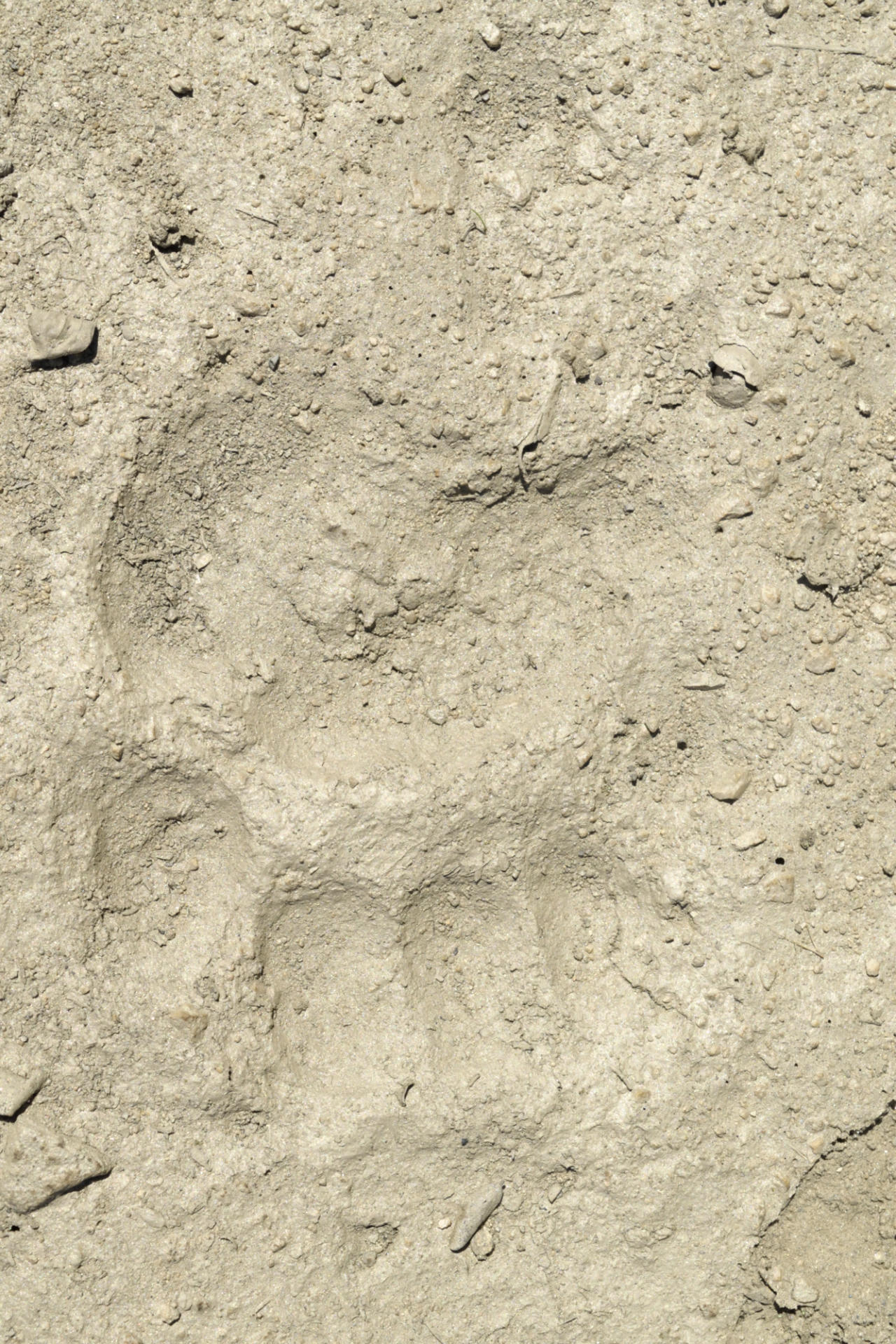
The hike down the road went by quickly. On the way down, a bobcat and I mutually surprised each other. I rounded a corner in the road, and he/she was standing 30m away. I said "HI!" and the cat bolted. I didn't have time to get my camera for that one. There are lots of bear tracks on this road (see pic below), going both directions, as well as tracks of many other critters...seems like a popular wildlife corridor.
The river has a lot of deadfall, making progress very difficult in places. I stuck to wading down the stream mostly, since the banks were festooned with poison oak, blackberries, stinging nettle, etc. There are several very nice swimming spots - some deep/large enough for some actual swimming, not just a nice dunk. In some places along the river, there are huge gardens of mint. I grabbed some, and am drying it to see if I can make a good tea. If I don't die, I'll report on it's quality later. I saw several moderate-sized trout in the river.
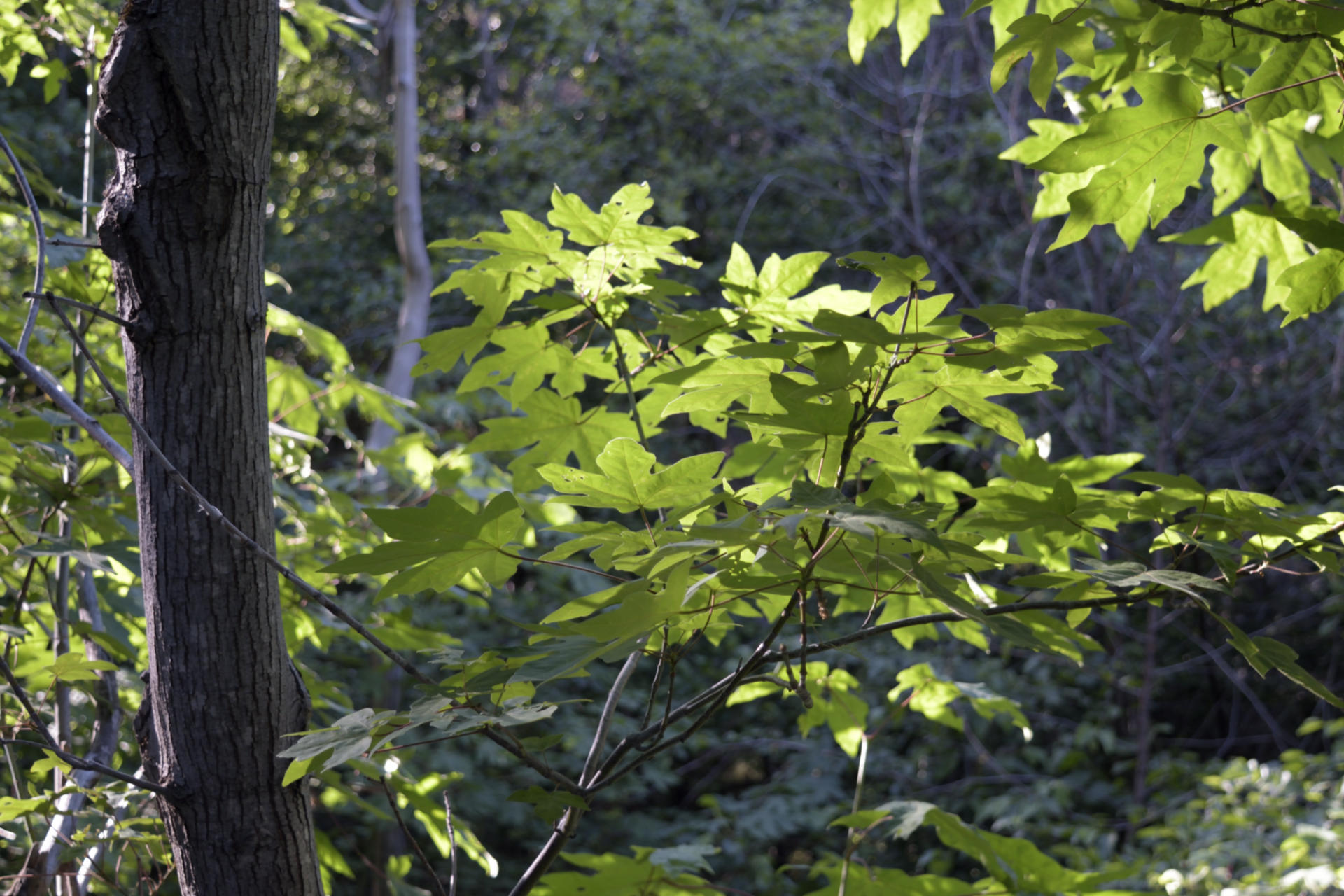
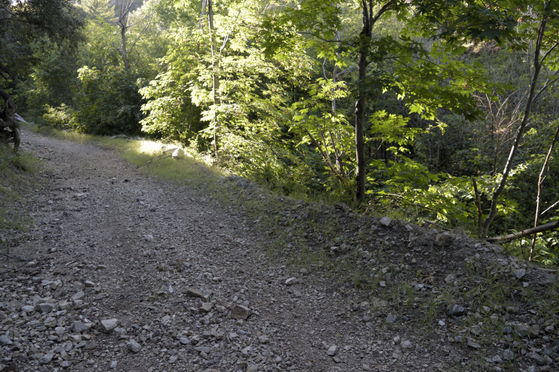
The hike out was as bad as I expected, about as painful as riding up, but the pain gets spread out a bit more. The shaded lower canyons were a nice respite from the heat. There are some beautiful sections of mixed forest just above the river, with sycamore, big leaf maple, alder, live oak, long cone douglas fir. It's a nice green contrast to the surrounding desert mountainsides. I managed to do the climb about 30 minutes longer than it takes me by bike, but the physical effects were probably twice as bad, especially since I haven't done any serious hiking in a long time.
My last stop was at the 'pony saddle' halfway, and I strolled up to the nearby 'hill' to discover what looks like an old microwave repeater site. There's a concrete slab in which some ants have nested, and pieces of a fiberglass dish or panel and piles of loose fibers. The spot has quite a nice view, though (last 2 pics below).
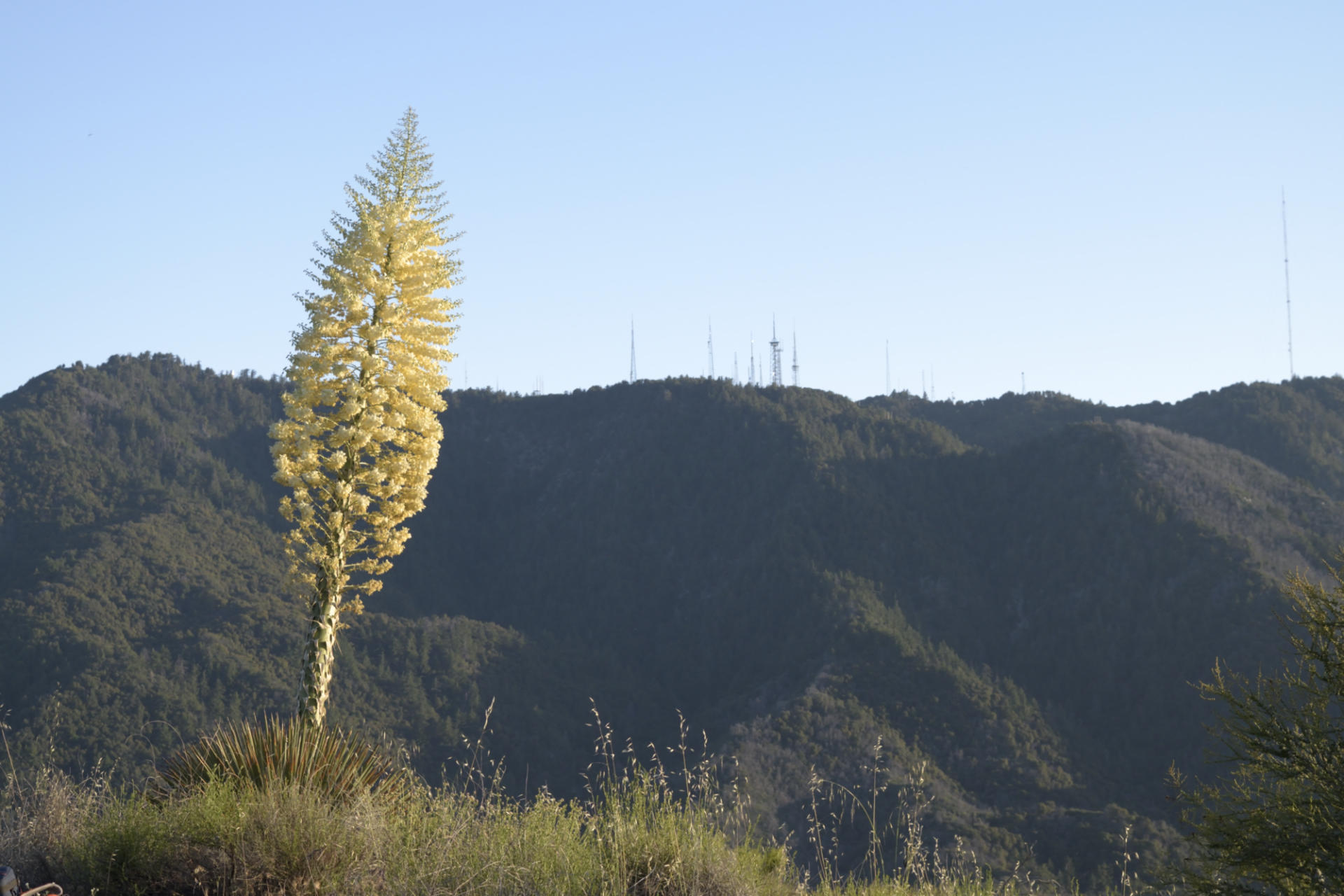
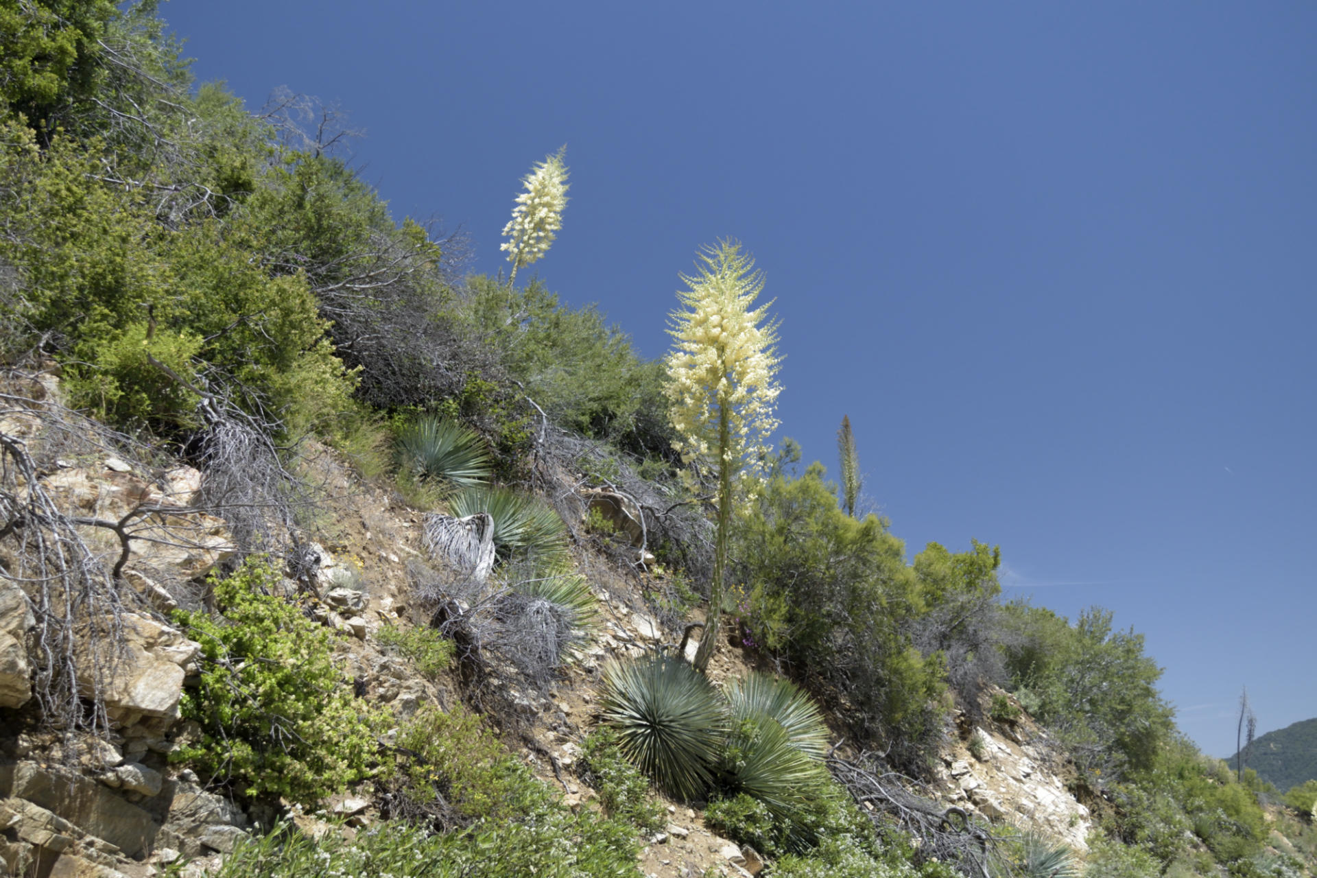
Water is still somewhat high, temperature is not in the 'Polar Bear Club' range, and a quick dunk on a hot, dusty day is a nice treat. Bugs were manageable, but the mosquitoes were getting thick after 4:00. The Silver Moccasin Trail in Shortcut Canyon has been worked (I hiked the top switchbacks on this outing, have also ridden down recently), and it's in very good condition. The yucca blooms are CRAZY!
Here are the pics:
Yucca Blooms
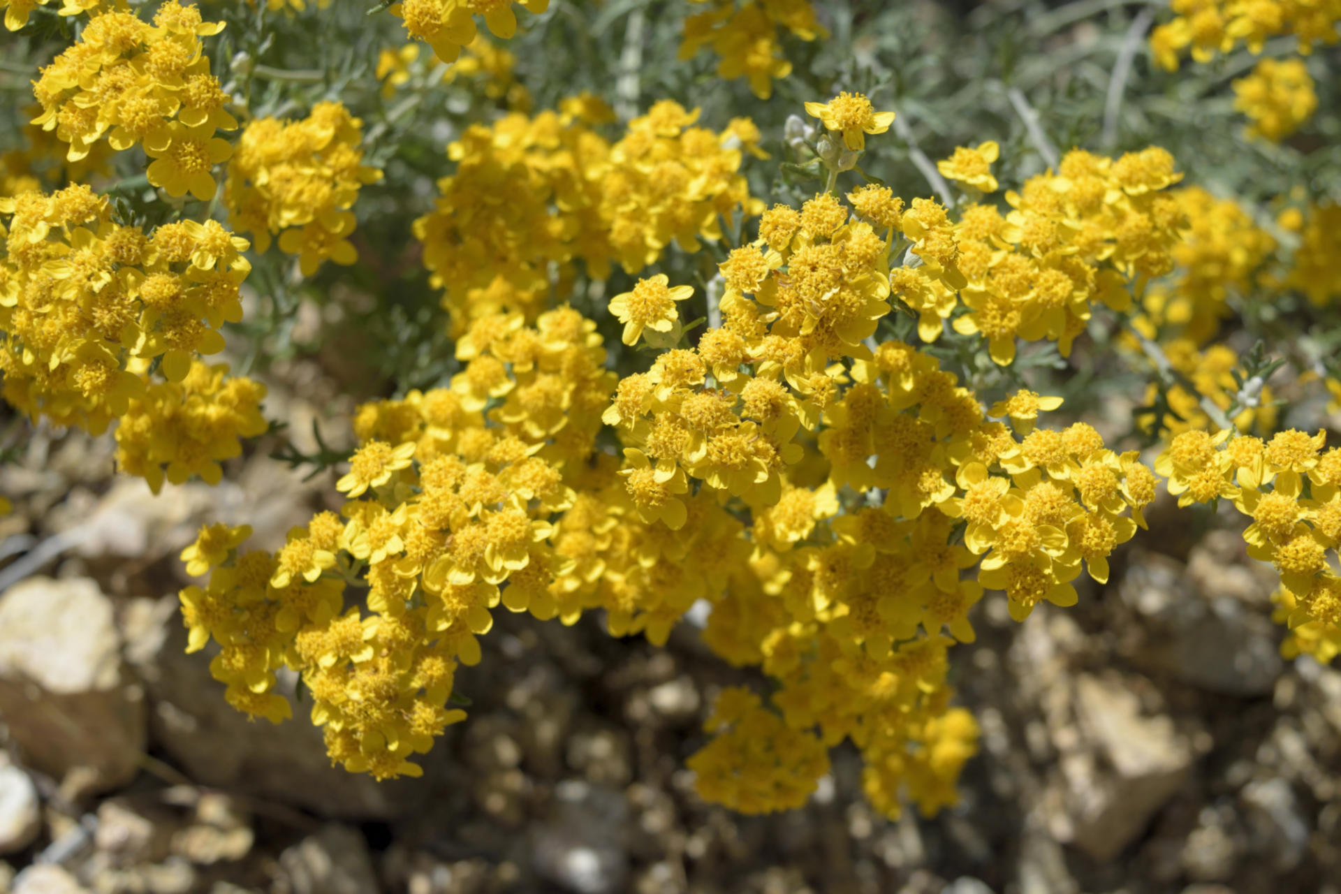
Golden Yarrow (Eriophyllum confertiflorum)
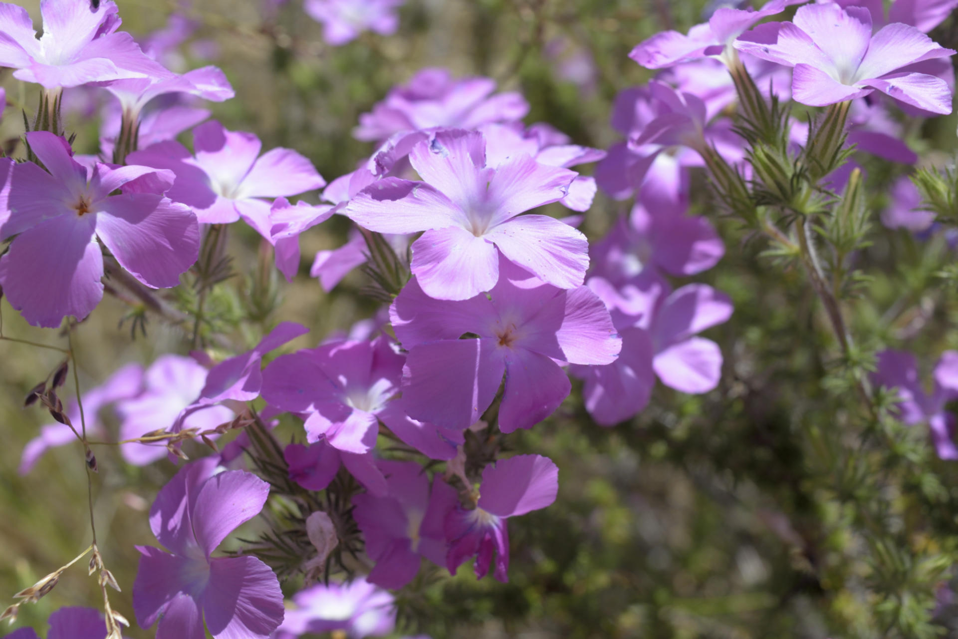
Prickly Phlox (Leptodactylon californicum)
Bears!
Big Leaf Maple
Mixed forest in the shady recesses
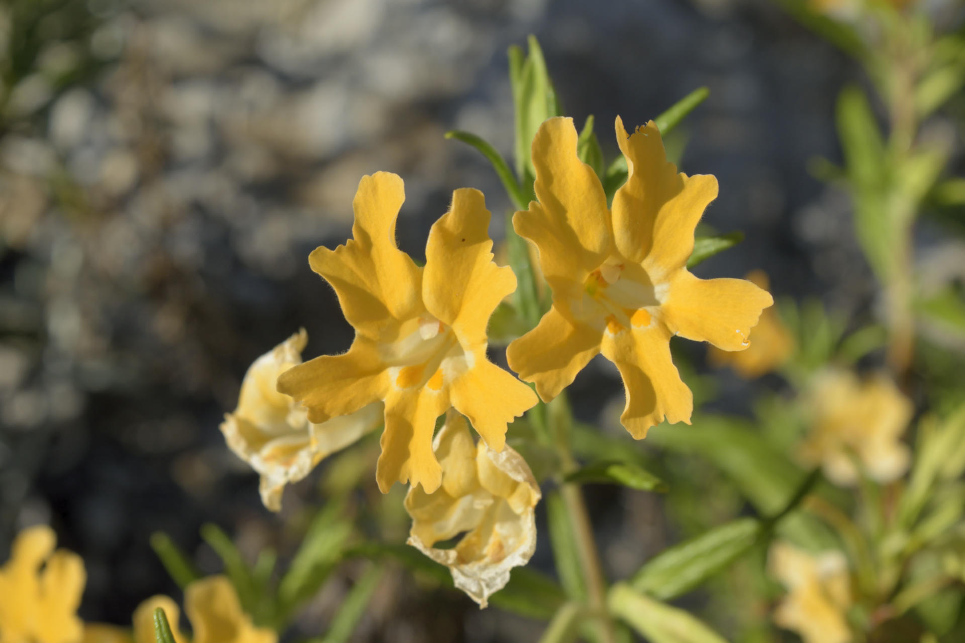
Sticky Monkeyflower (Mimulus aurantiacus)
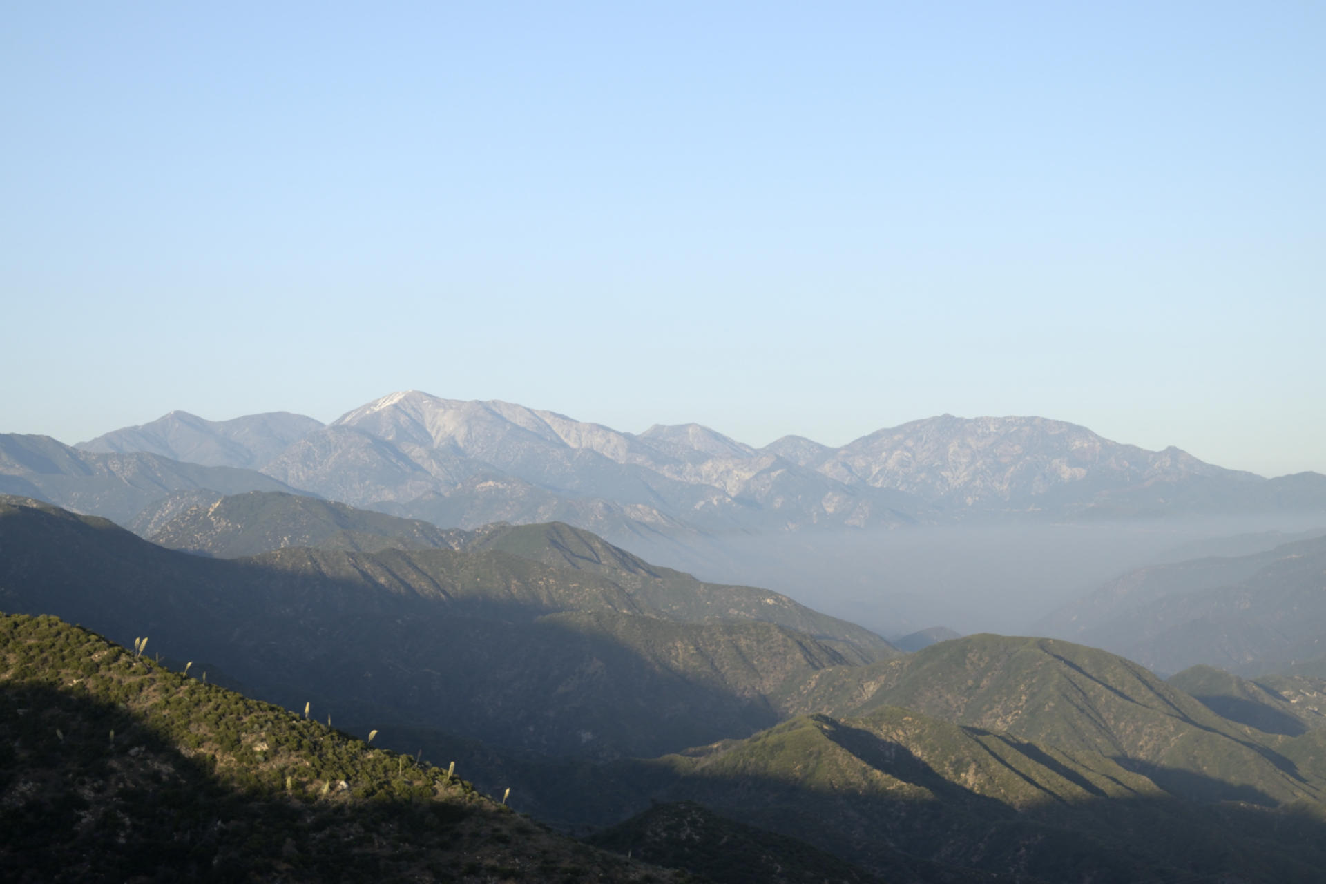
View of the high peaks
Yucca bloom and Mount Wilson summit