Newcomb Peak and Peak 4492

TRs for the San Gabriel Mountains.
Post Reply
User avatar
Sean
Cucamonga
Posts: 3787
Joined: Wed Jul 27, 2011 12:32 pm

Post by Sean »

I promised Cecelia an exciting benchmark hunt. Instead she received a whole lotta stupid adventure that is probably best forgotten and never ever mentioned again. But now that I've started this story I might as well finish it, right?

They say laughing at yourself is the best medicine. And I feel like I need many types of medicine to make the pain (and memories) go away. While I'd much prefer narcotics, laughter will have to do, because I'm fresh out of heroin.

Stupid thing #1

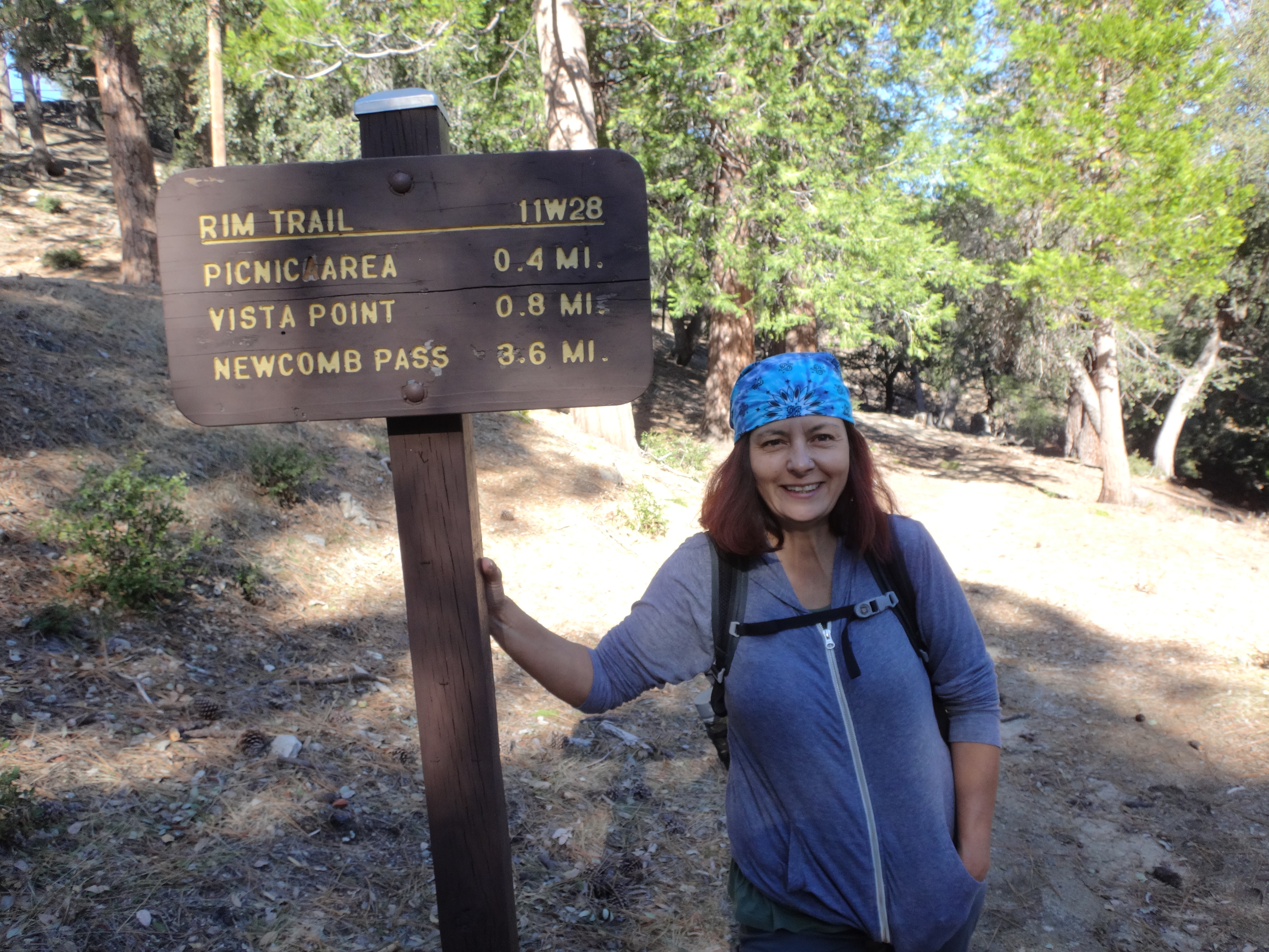
When we arrived at Mt. Wilson, the gate was closed because the park opens at 10am. Thinking it was 8:30am, and not wanting to wait, we parked down the road, outside the fence. If I had remembered to set my car clock one hour ahead for Daylight Savings on Sunday, perhaps I would have waited a half hour to park inside, which would have saved us some extra walking--and fence-jumping.

After prep time and the extra efforts, we reached the Rim Trailhead by 10am.

Image

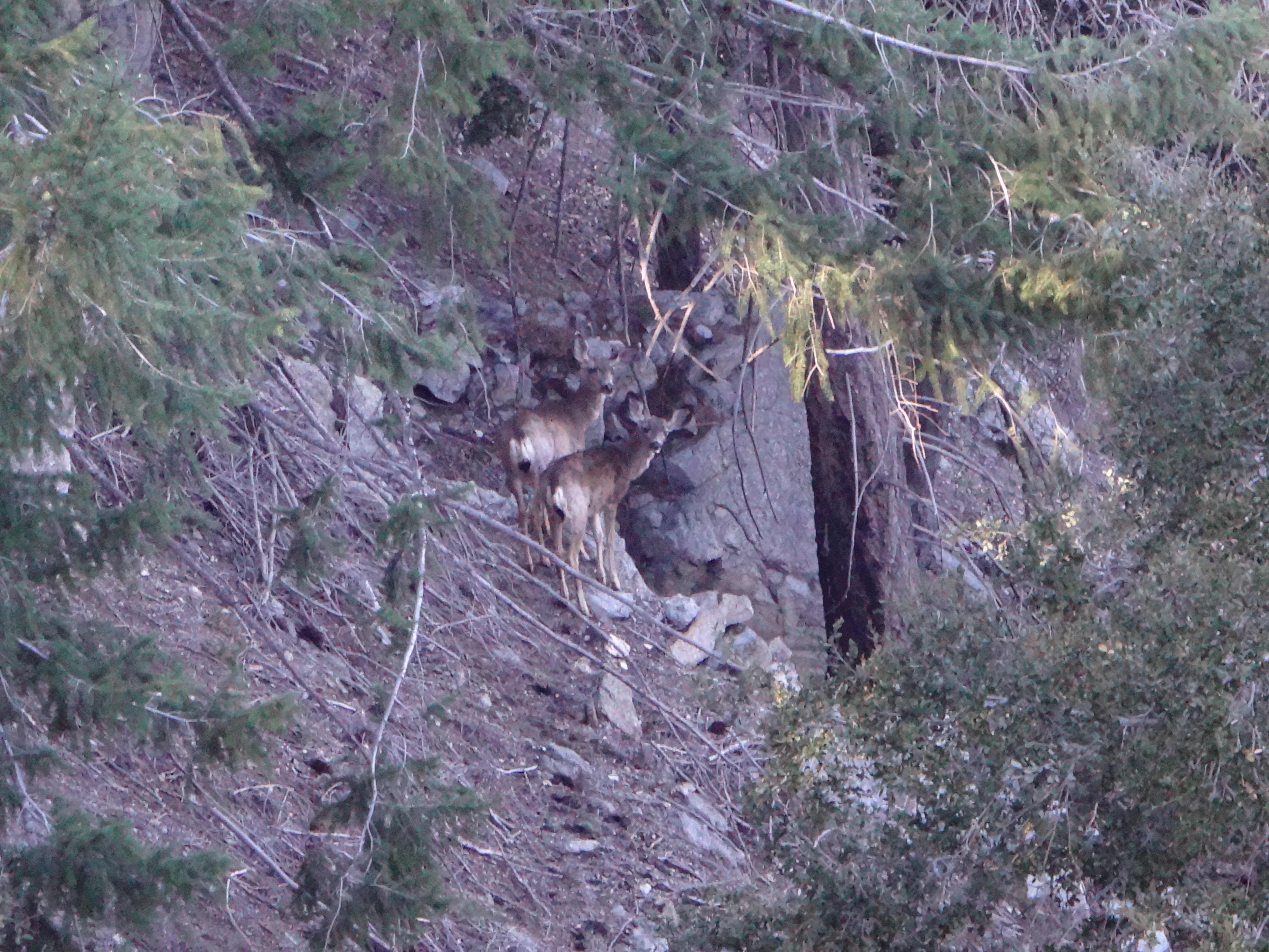
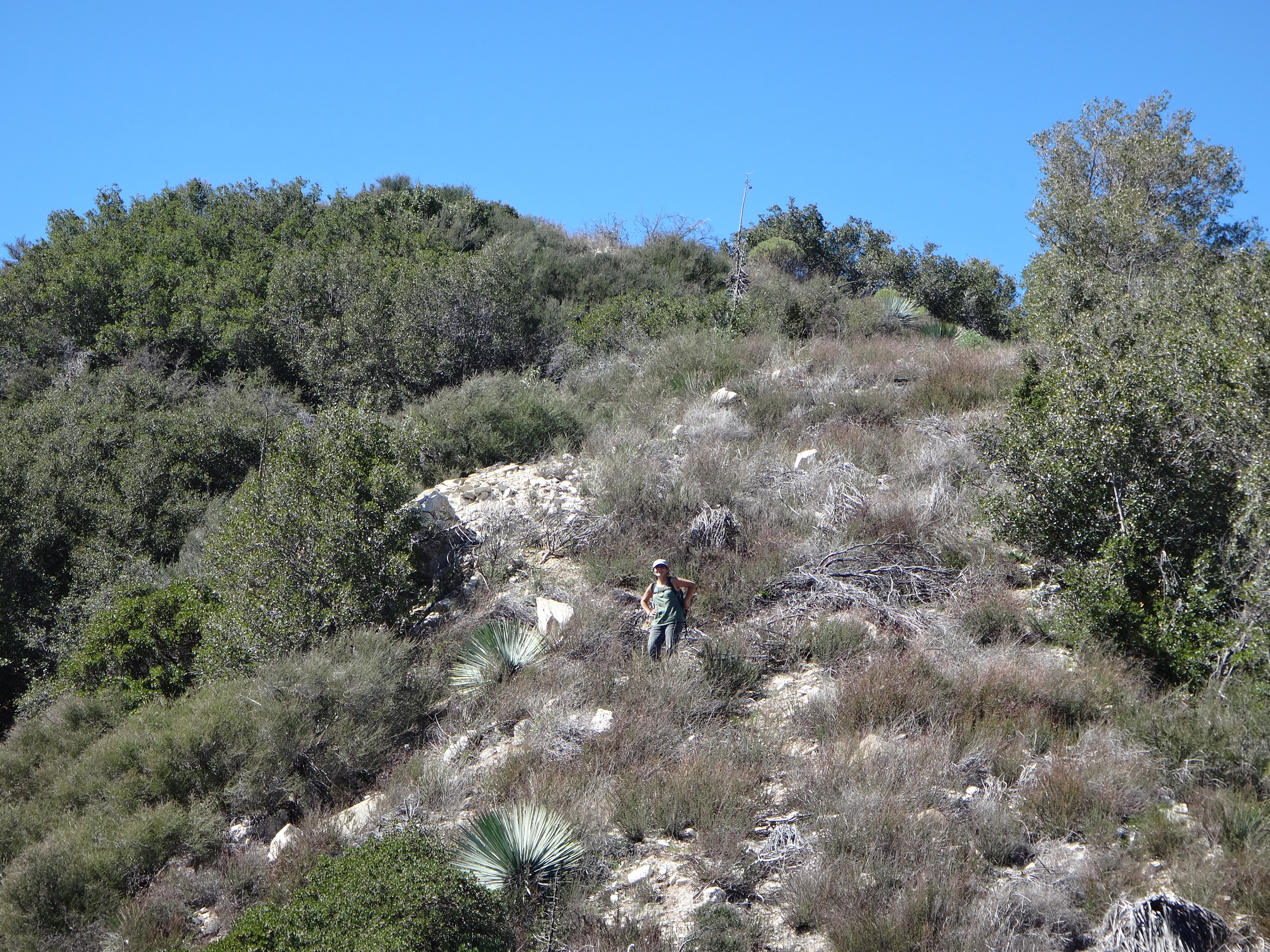
Cecelia and I had both done the Rim Trail before. But I thought it would be the easiest way to bag Newcomb Peak, which neither of us had visited. Near the start we encountered a family of deer.

Stupid thing #2

I took a decent picture of the deer. But then I processed the hell out of it in Picasa when I was half-asleep. So now the picture looks like a cartoon.

Image

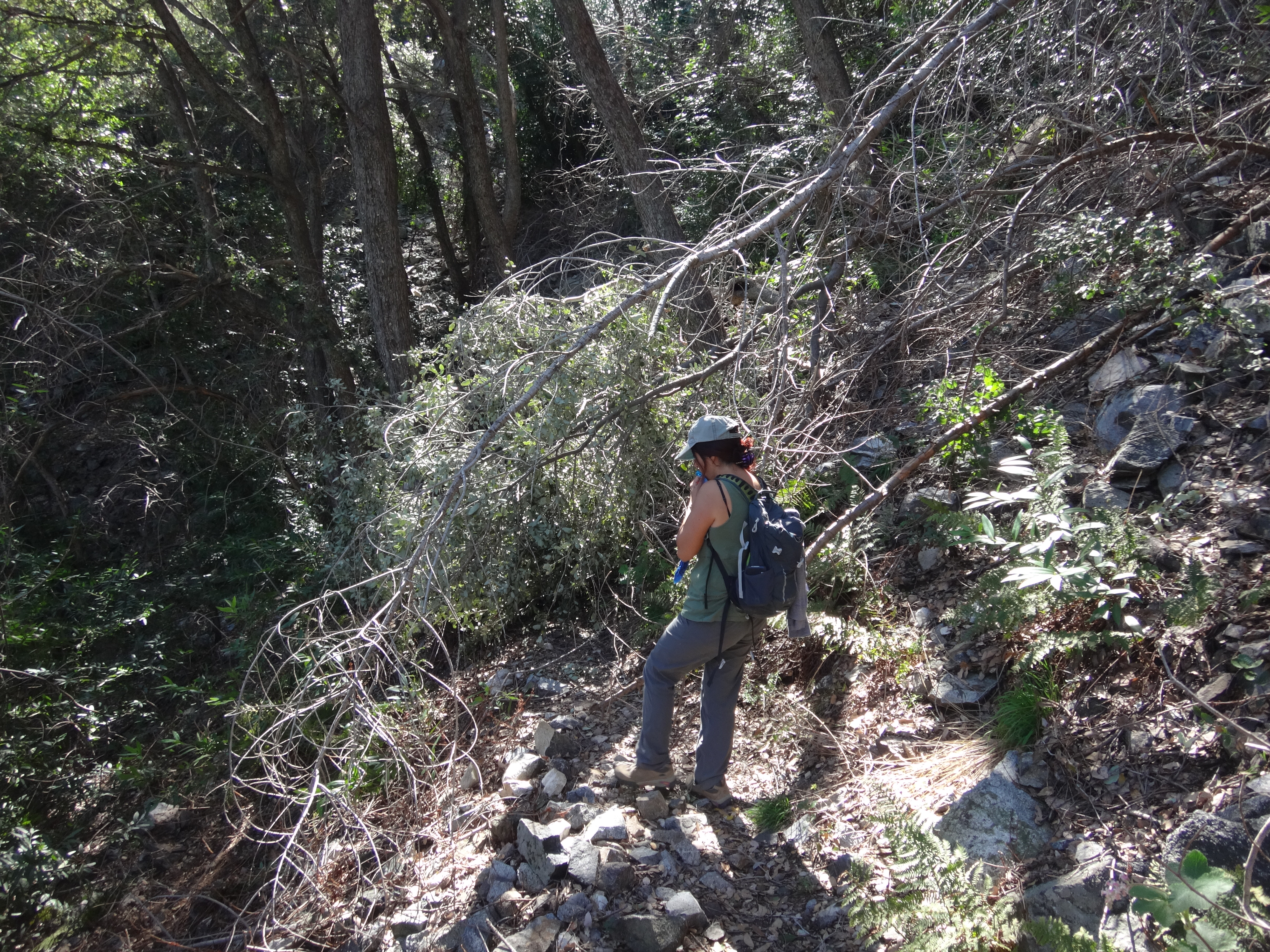
Several downed trees blocked the trail. Cecelia counted about ten obstacles.

Image

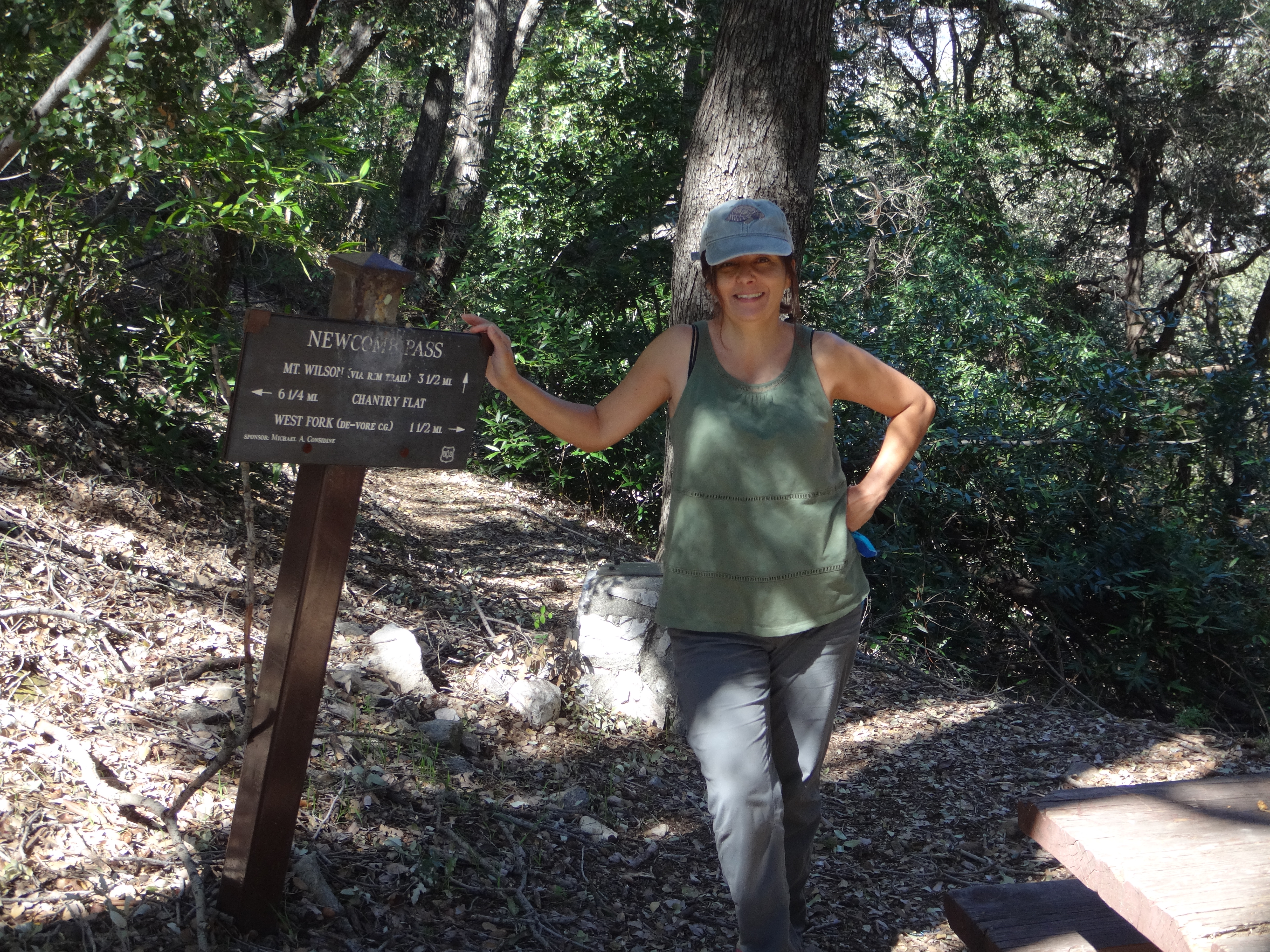
We took a break at Newcomb Pass.

Image

The little flies had started annoying us. But their pestering failed to reach critical status, thanks in part to several stretches of cool shade and mild breezes.

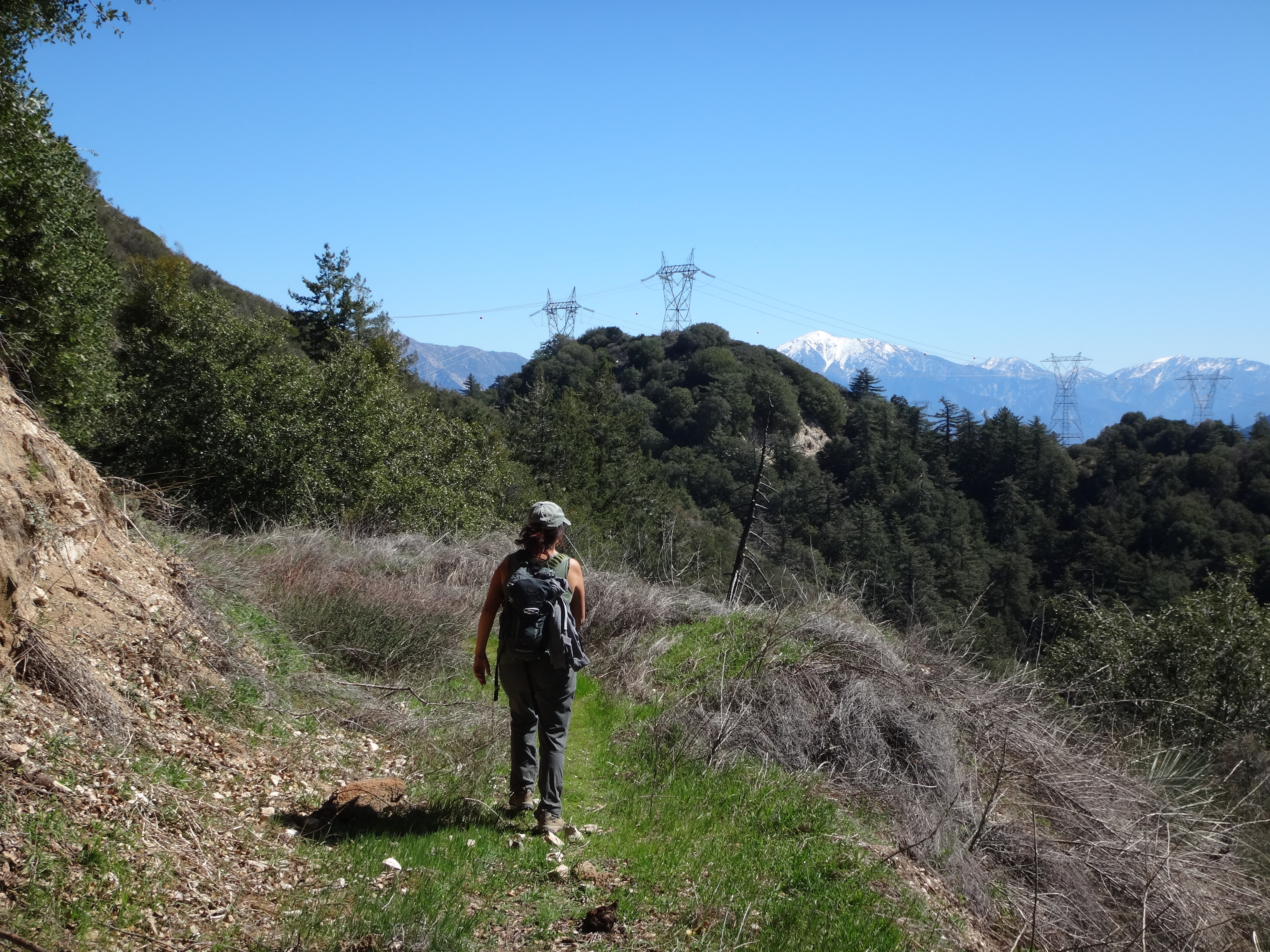
Next we utilized the old fire road to Newcomb Saddle.

Image

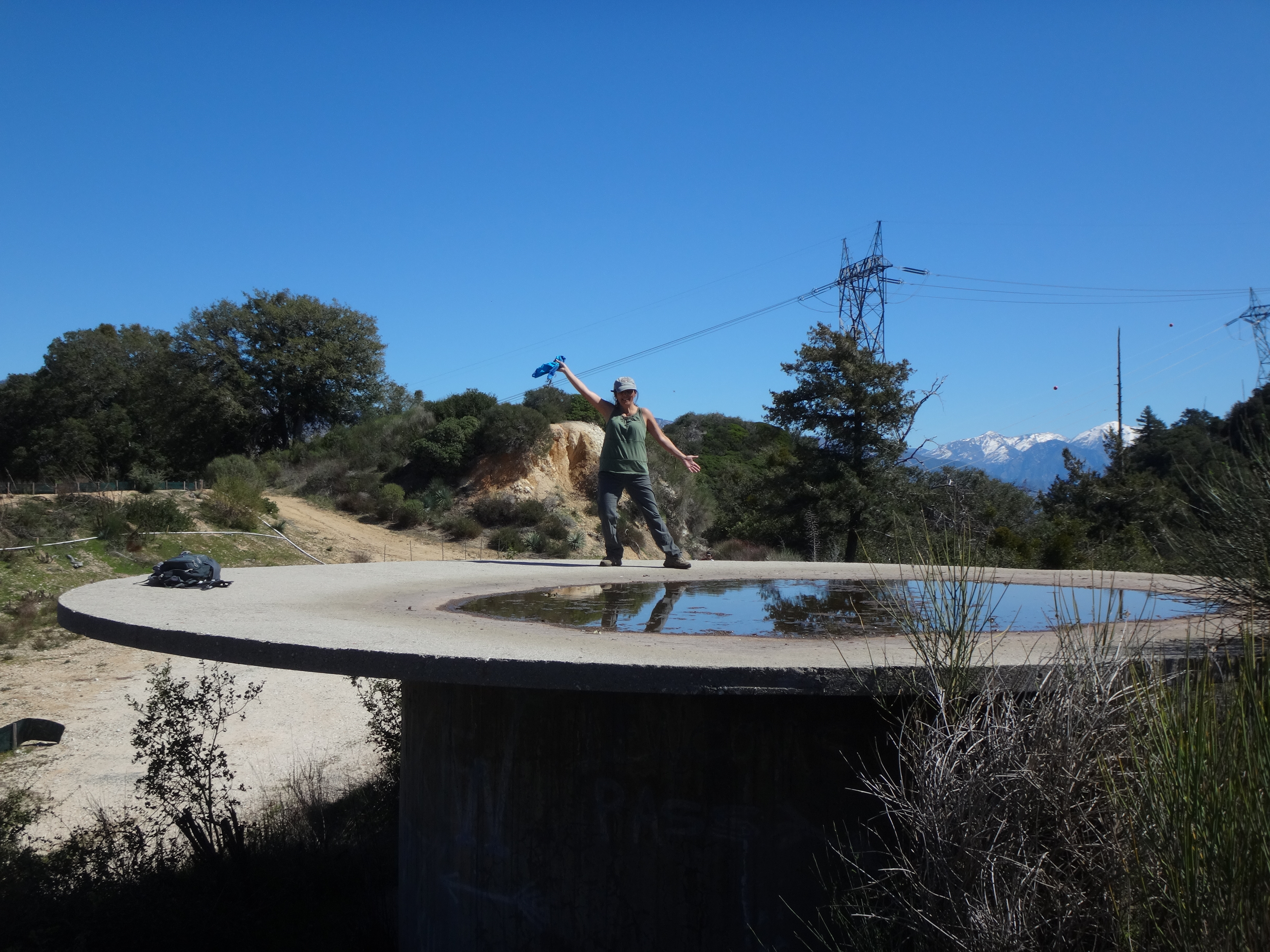
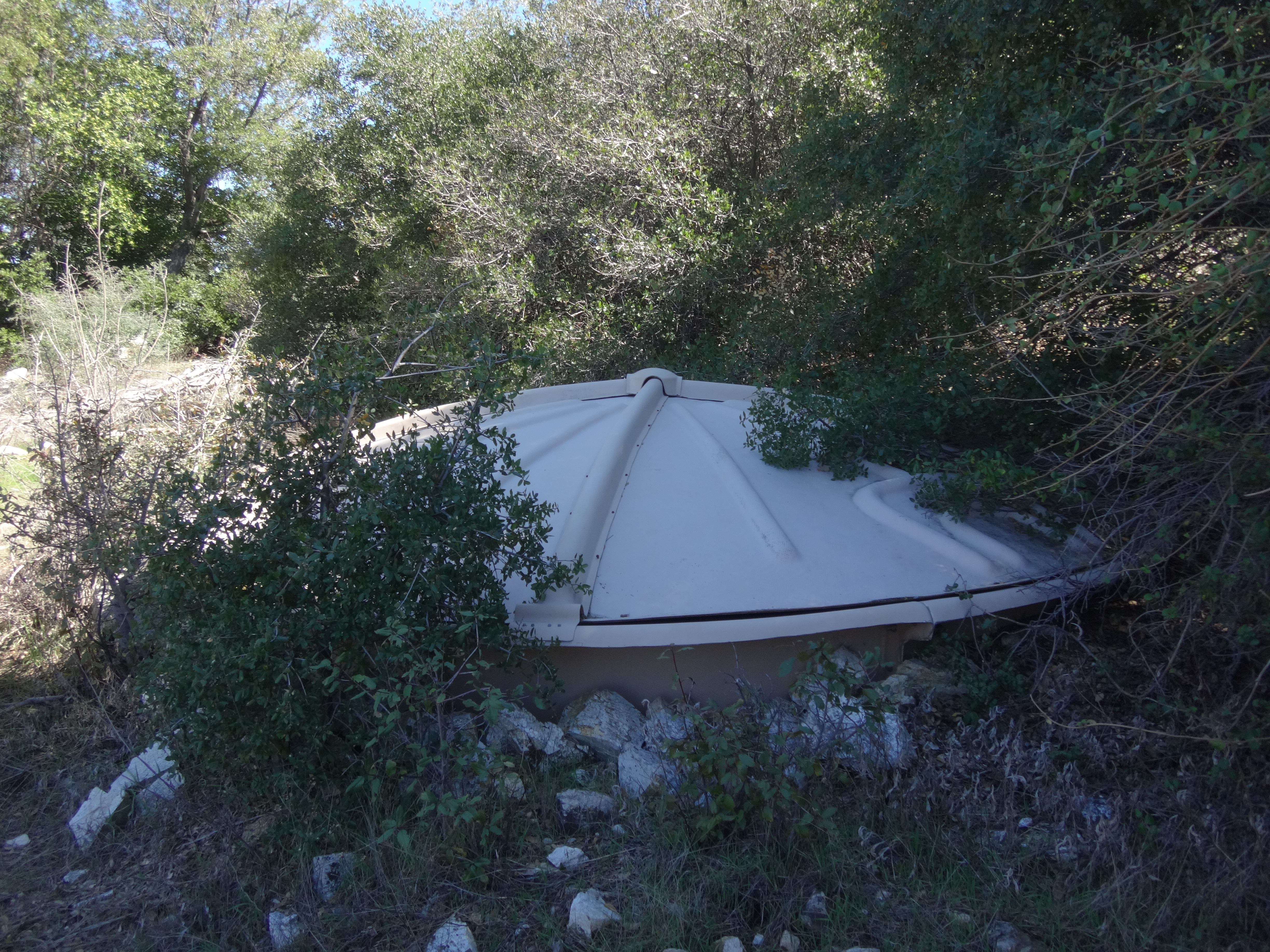
This saddle had a few things going on. We met some mountain bikers. One was fixing his tire, while another was performing gymnastics in order to climb atop the water tank. Cecelia found an easier way onto the tank by going around to the back of it.

Image

My standard question to bikers now is, "Where did you come from?" These fellas had come all the way from Azusa, having ridden up the canyon to the West Fork, and then up the Redbox-Rincon Road to the saddle here. Quite a journey.

The map showed a body of water around a corner at the saddle. Curious, I wandered over and found it.

Image

How strange to see a scummy little pond along this ridgetop. I kept it in mind as a last-resort watering hole.

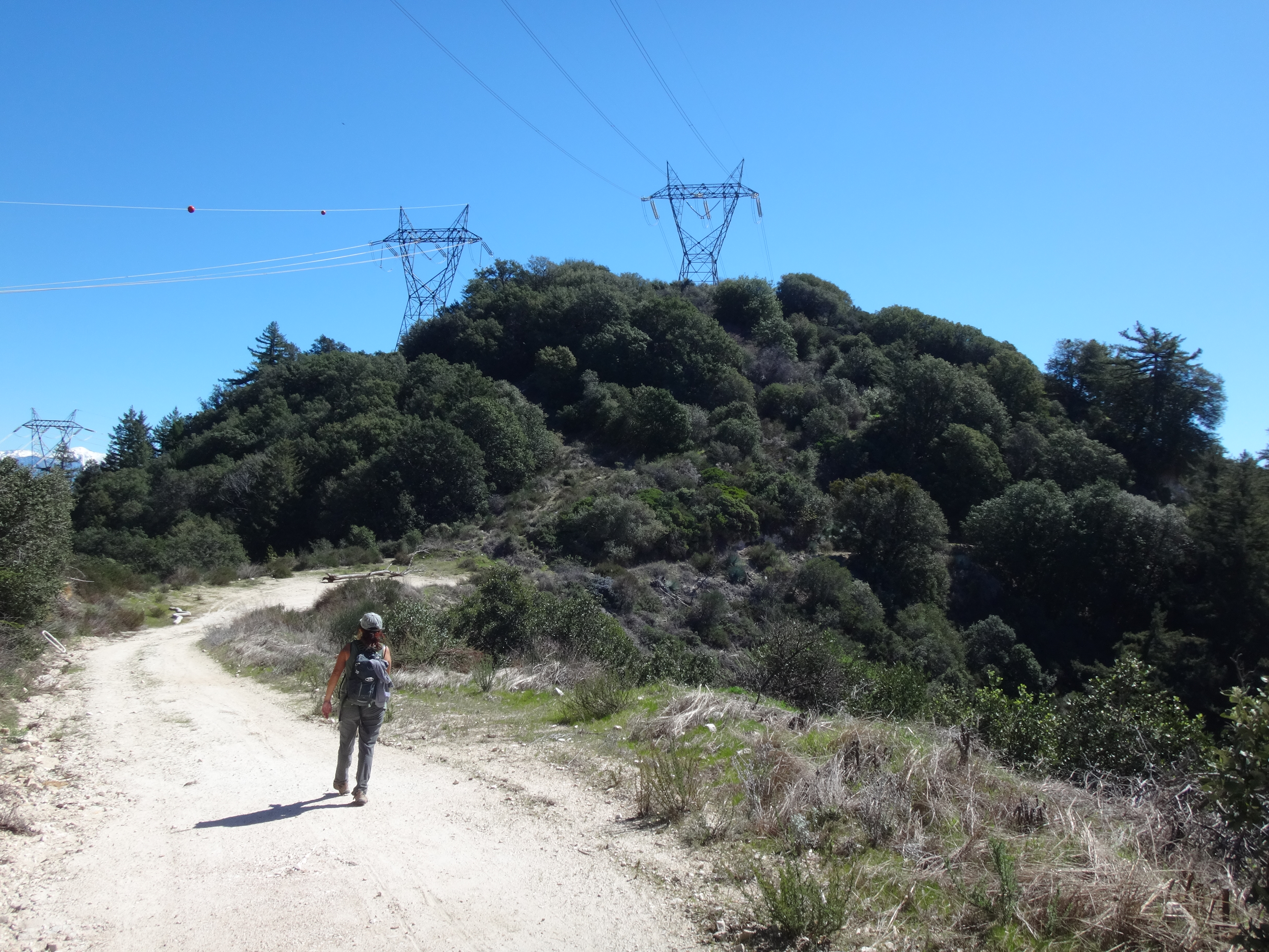
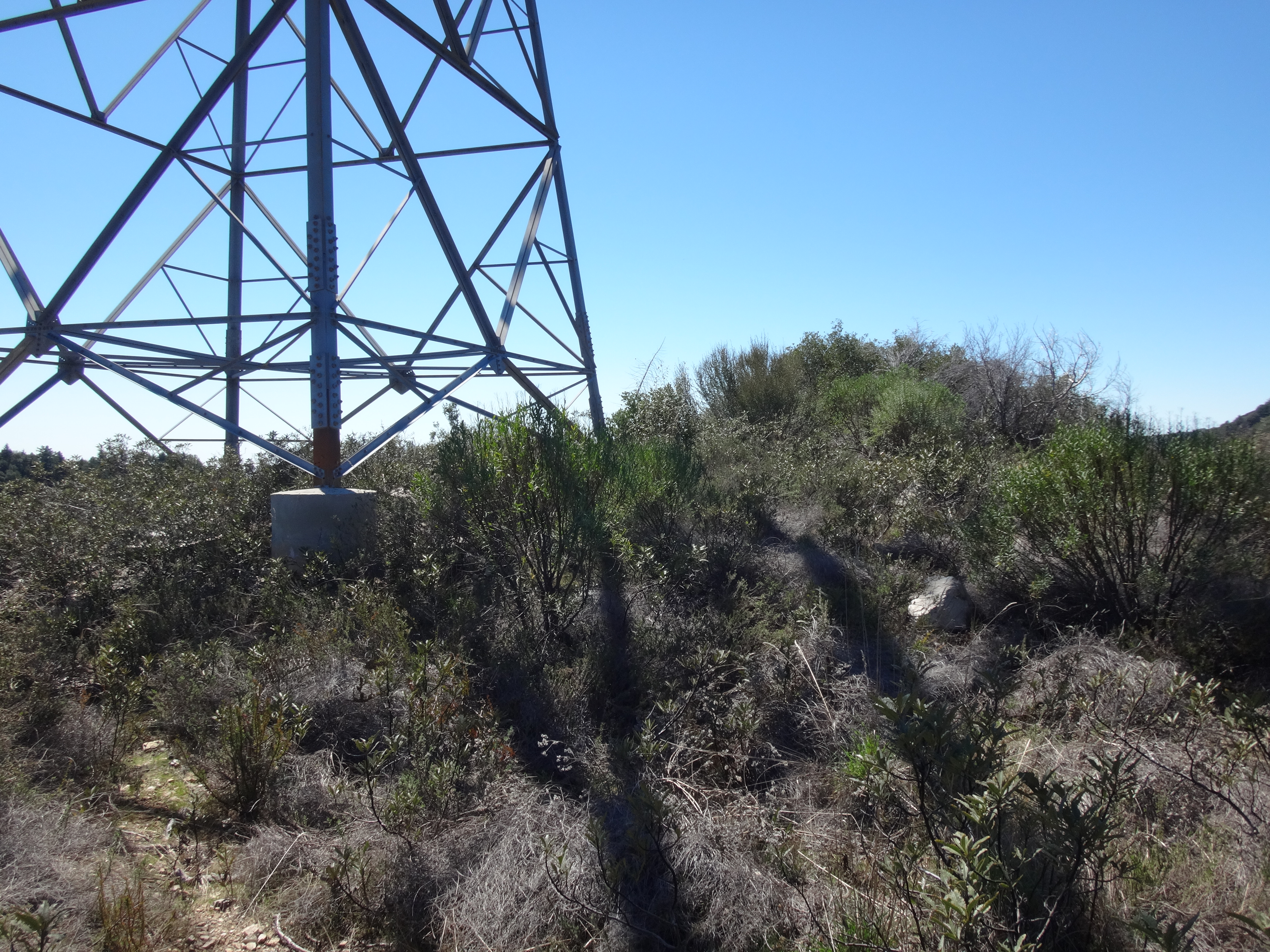
From the saddle, the half-mile jaunt to Newcomb Peak required little effort. An old service road led to the electrical towers on the summit.

Image

Image

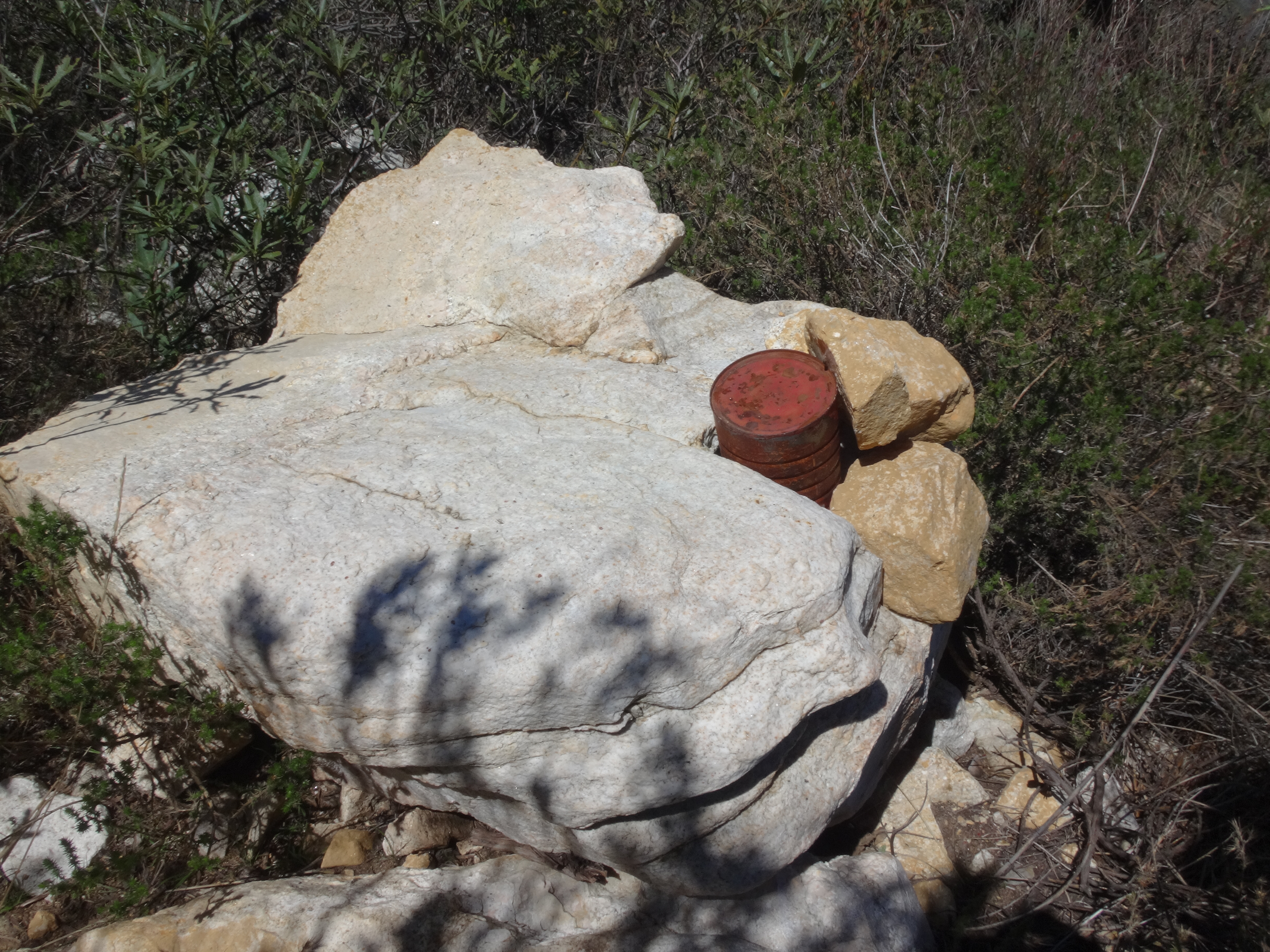
Being a LPC peak, there was a register.

Image

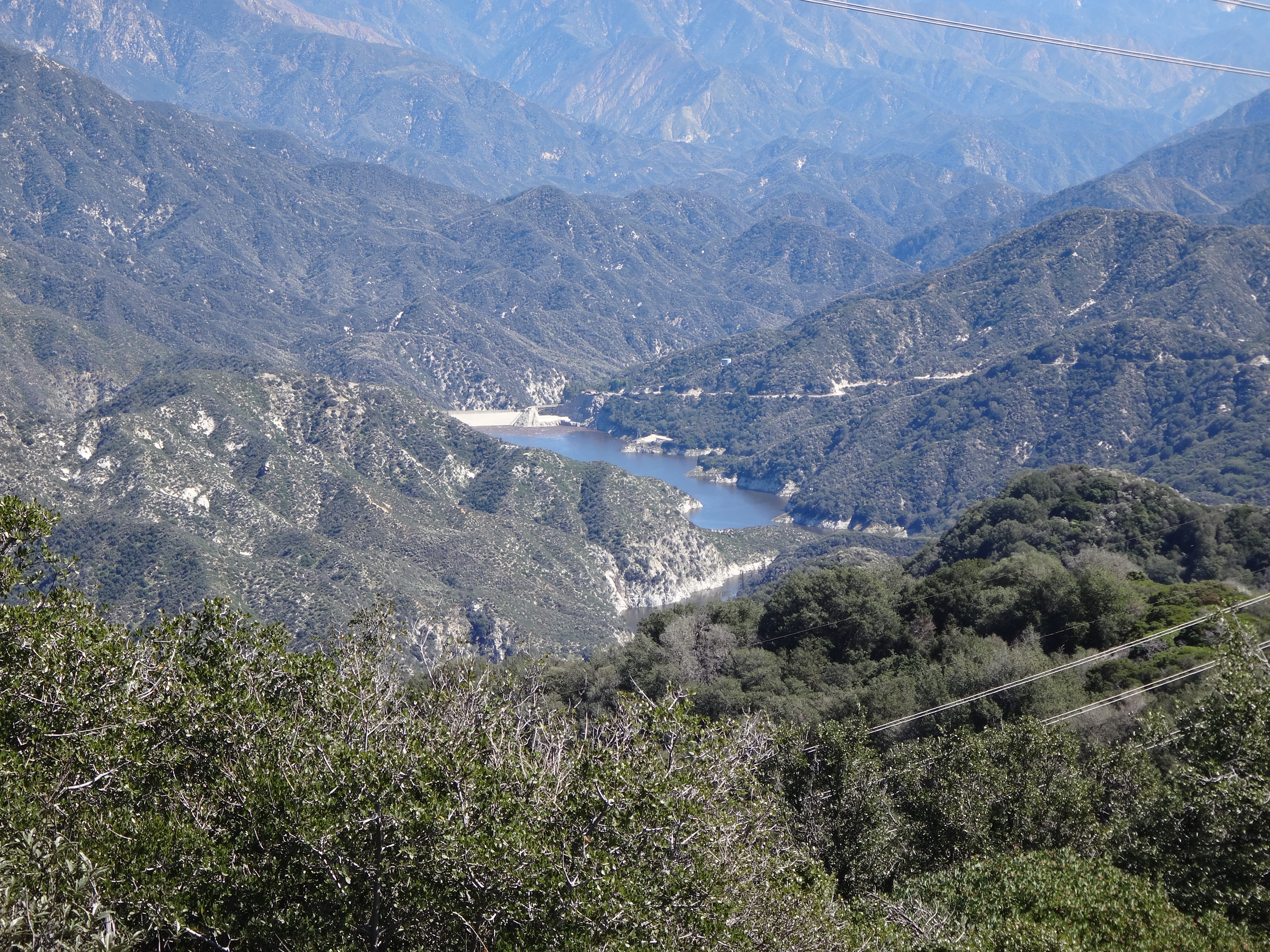
There was also a decent view of Cogswell Dam.

Image

But other than that this hill disappointed me. First, the electrical towers hog up the small peak area. And second, the peak area is a mess with junky overgrowth, leaving no good place to sit and providing no good shady spots to get out of the sun.

Cecelia signed the register while I started hunting for the Newcomb benchmark under piles of twigs and leaves, and around the tower footings. But even with both of us searching, we couldn't locate any sign of it, and soon I was eager to get going.

The next goal happened to be another old benchmark location.

Stupid thing #3

I knew that Middle Benchmark was further up the road. But I didn't know exactly how far, because I didn't have the full Tom Harrison map and was using a partial, piecemeal topo that I had zoomed in too much. I couldn't tell where Middle Benchmark was in relation to other important landmarks. And this stupidity caused me to semi-blindly navigate us to neighboring Peak 4492 instead.

Image

Image

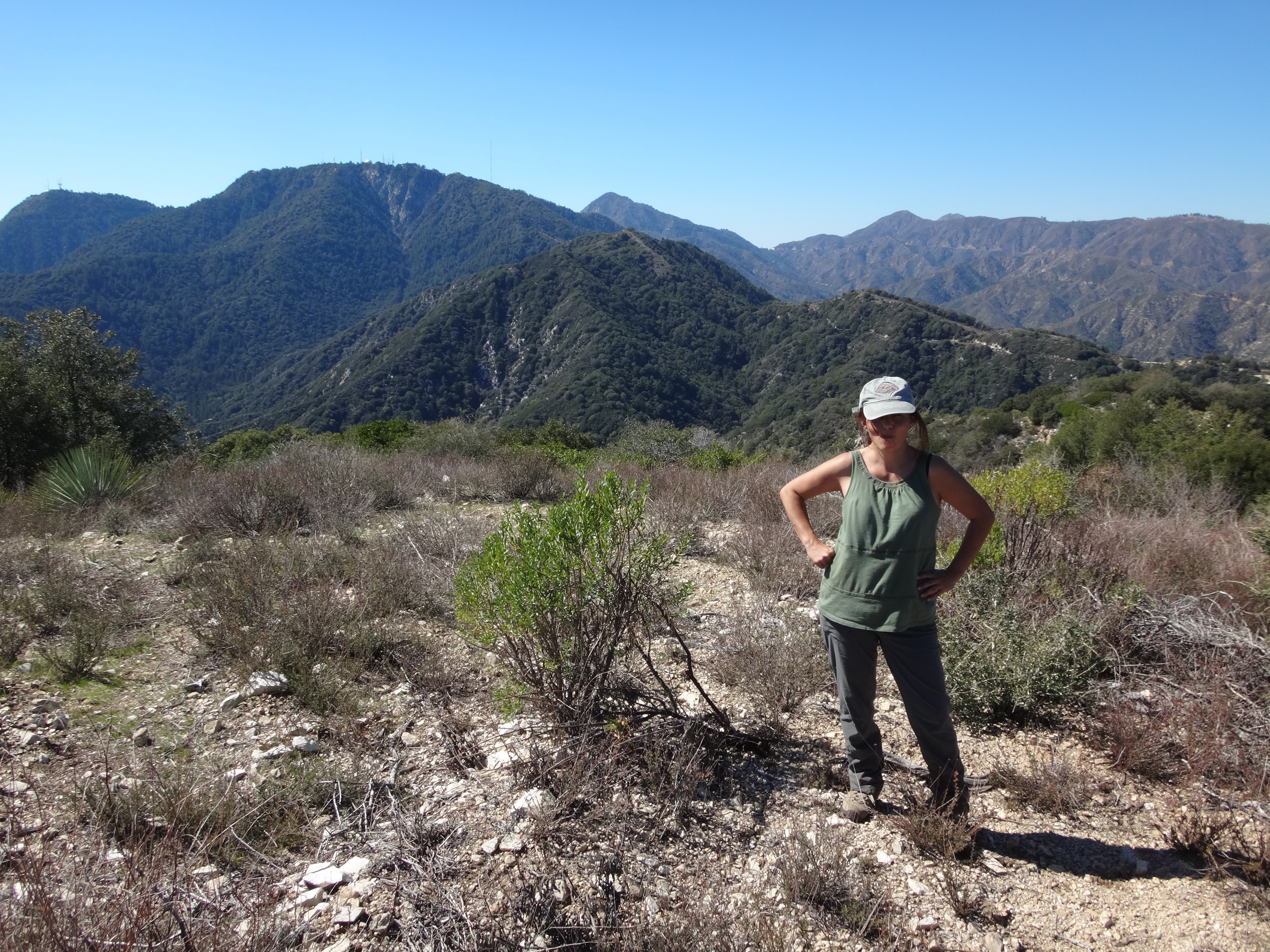
Despite this error, I enjoyed 4492 better than Newcomb Peak. The views are great. No tower on top. And while the summit area is also messy, it is broader than Newcomb, and a few places can be found to sit down or even enjoy some shade if you wander around a bit.

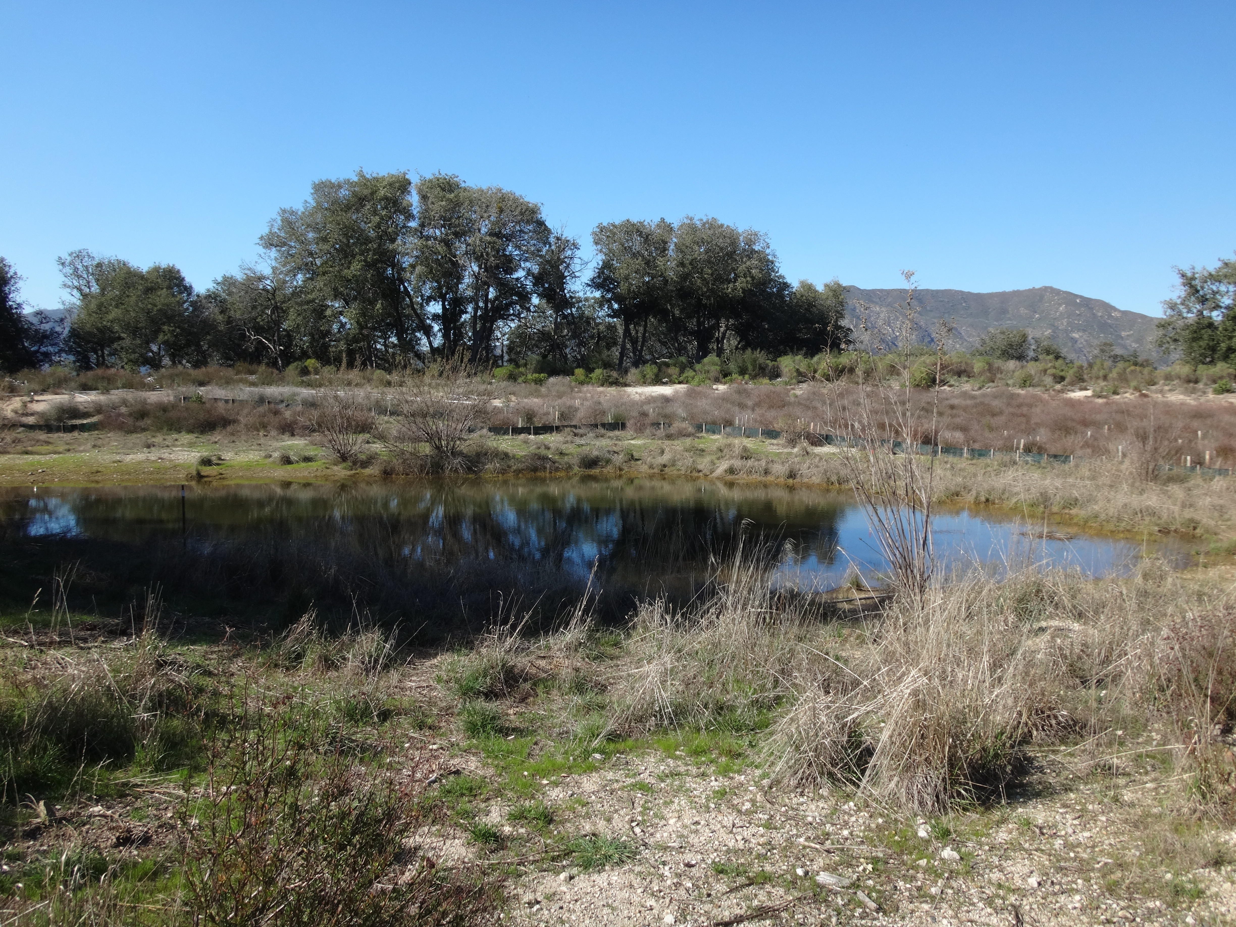
Thinking we were on Middle Peak, we conducted a fairly thorough search for a benchmark. Of course, we did not find one. However, during the search, Cecelia noticed a water trough for animals.

Image

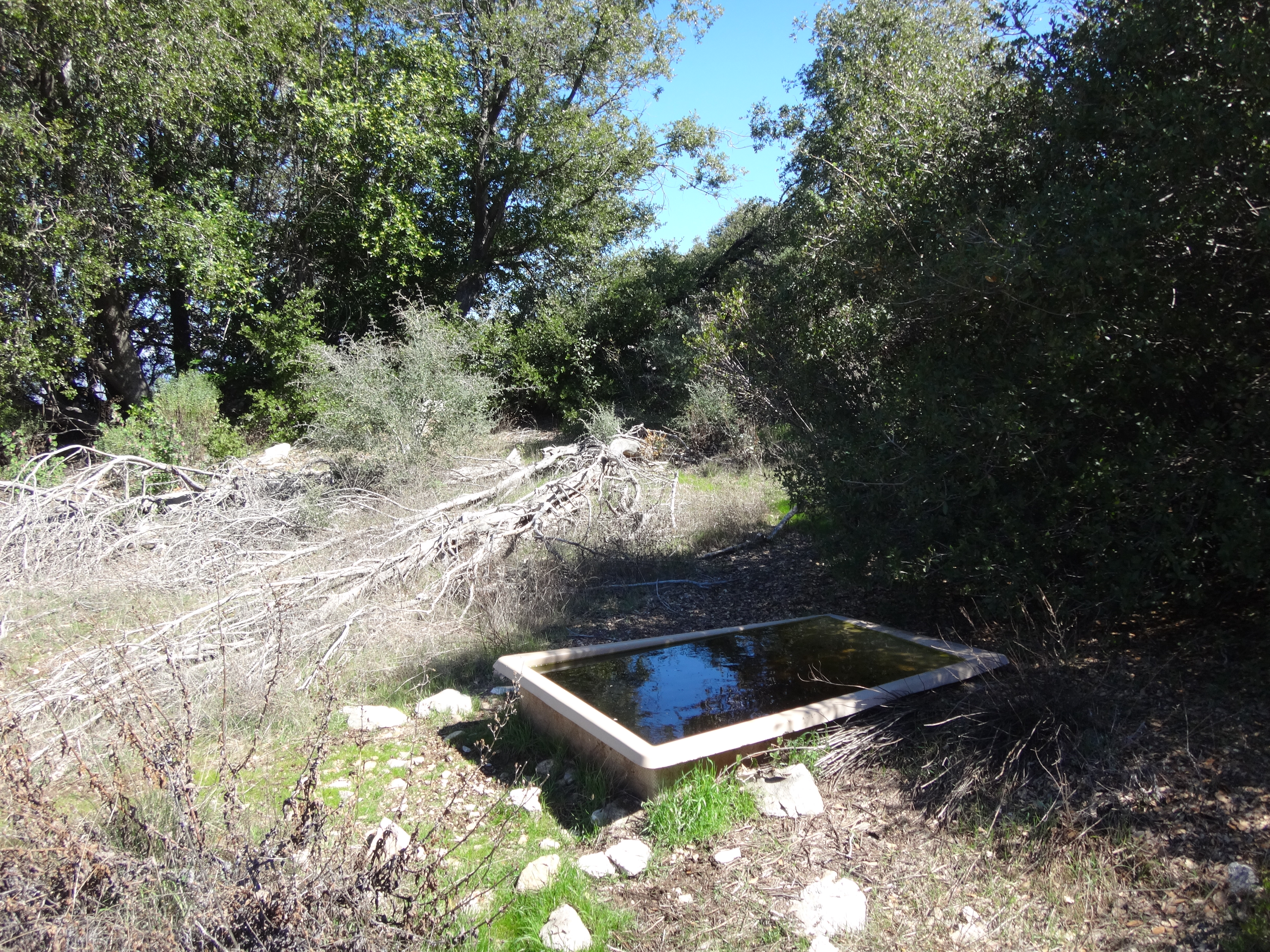
It's fed by this tank that catches rainwater.

Image

Stupid thing #4

Now I had stupidly brought only two liters of water. And I was getting low on fluid with the entire climb back to Mt. Wilson coming up next. My backup was the scummy pond water at the saddle. But in comparison this animal trough looked super yummy. I mean, the water was actually clear. Plus, I figured it was for thirsty animals--and, hey, I'm a thirsty animal! So I filled a liter and dropped in two purification tablets, feeling a little less stupid for leaving my other drinks in the car.

It was a slow climb back on the Rim Trail. Cecelia did everything in her power to motivate me up the switchbacks, including an offer to massage my back. But sometimes not even feminine charms can stop a man from resting in the shade three or four times.

Miles: 15
Gain: 2500'

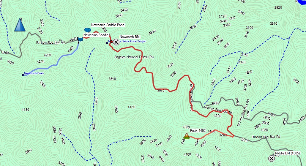
Map: From Newcomb Pass to Peak 4492.

Image

Picked up and packed out: mtb handle bar grip, mtb reflector, food wrapper, hair scrunchie, three misc. pieces of plastic, three aluminum cans, a plastic water bottle, a piece of rope, two balloons.

Image
User avatar
Girl Hiker
Posts: 1335
Joined: Fri Apr 04, 2014 7:46 am

Post by Girl Hiker »

Nice report! It was an awesome adventure! My favorite part was seeing you huff and puff on the trail lol... but then you sprung back to life after that delicious pizza we had after a long day ;)
User avatar
Slowest_Hiker
Posts: 252
Joined: Sun Jul 31, 2011 12:31 pm

Post by Slowest_Hiker »

We set out on from Mt Wilson a few years ago on the Rim trail. I think our original goal was Newcomb Peak. However, when we reached the pass, we agreed that neither of us was looking forward to going back up the Rim trail, which was slidy and had tons of face-height poodle dog at the time. We pulled out the map and decided instead to loop up the Sturtevant trail, which was a weird decision for us due to the added length and also the Sturtevant had kicked my butt on my prior visit. It turned out fine, even enjoyable. Now I see there wasn't much at the peak anyway!
User avatar
Anthony
Posts: 324
Joined: Mon Jun 05, 2017 11:53 am

Post by Anthony »

I might hit Newcomb Peak via the Rim Trail on Saturday. Has anyone been on that route lately? I imagine it could be kinda messy.
User avatar
ReFreshing
Posts: 66
Joined: Mon Nov 26, 2018 1:00 pm

Post by ReFreshing »

Anthony wrote: I might hit Newcomb Peak via the Rim Trail on Saturday. Has anyone been on that route lately? I imagine it could be kinda messy.
How was the condition of the Rim Trail when you did it? I was considering going up to Wilson via Rim Trail this weekend to avoid the Mt Wilson race but unsure about its condition.
User avatar
Anthony
Posts: 324
Joined: Mon Jun 05, 2017 11:53 am

Post by Anthony »

ReFreshing wrote:
Anthony wrote: I might hit Newcomb Peak via the Rim Trail on Saturday. Has anyone been on that route lately? I imagine it could be kinda messy.
How was the condition of the Rim Trail when you did it? I was considering going up to Wilson via Rim Trail this weekend to avoid the Mt Wilson race but unsure about its condition.
The condition from Mt. Wilson to Newcomb Pass was great (Rim Trail). Someone must’ve worked on it recently. The condition from Newcomb Pass to the base of Newcomb Peak was not as good, though, but still easy to follow. The worst part is right near the summit, where there’s no trail at all. I was very cautious bushwhacking in that area. Seems like a playground for rattlers.
User avatar
ReFreshing
Posts: 66
Joined: Mon Nov 26, 2018 1:00 pm

Post by ReFreshing »

Anthony wrote:
ReFreshing wrote:
Anthony wrote: I might hit Newcomb Peak via the Rim Trail on Saturday. Has anyone been on that route lately? I imagine it could be kinda messy.
How was the condition of the Rim Trail when you did it? I was considering going up to Wilson via Rim Trail this weekend to avoid the Mt Wilson race but unsure about its condition.
The condition from Mt. Wilson to Newcomb Pass was great (Rim Trail). Someone must’ve worked on it recently. The condition from Newcomb Pass to the base of Newcomb Peak was not as good, though, but still easy to follow. The worst part is right near the summit, where there’s no trail at all. I was very cautious bushwhacking in that area. Seems like a playground for rattlers.

Thanks for the info! Gonna check it out tomorrow!
User avatar
David R
OG of the SG
Posts: 535
Joined: Sun Jun 12, 2011 10:28 pm

Post by David R »

I did this hike today including Middle BM. Some notes on the hike:

1. Rim trail is getting eroded in sections with soft dirt due to bikers. In some places there is half the trail 6 inches lower then the rest of the trail. It is especially frustrating because this has happened in areas where the trail would normally be perfect and you could move at a good clip instead you have to watch your step.

2. Flies in full effect, especially the lower you got. I am talking swarms all around your head. I ate at least four which would be fine but they stick to the back of your mouth and cause you to choke. All rests occurred in the sun to get away from them.

3. I did not find Newcomb Register. I went up Peak 4,492 from the north side. Previous write-ups mentioned that there was deadfall and brush, that is not the case anymore. Middle BM did not appear to have any BM but I didn't look very carefully. Both 4,492 and Middle had small cairns built on the top.

4. This is a hot steep firebreak hike. I thought it would be cooler then it was and while not miserable it had some unpleasantness to it due to the heat. Only saw three people coming down the trail and a small group at the pass.

5. The north-east side of 4,492 is quite forested and shady. Other then the flies it was a delight to walk that section. Poison Oak is turning all pink and red and losing its leaves making for less of a problem on the trail.
User avatar
Tom Kenney
Posts: 371
Joined: Sat Sep 29, 2007 7:51 pm

Post by Tom Kenney »

Re: David's comments...I have noticed this since I've been riding both Rim Trail and Kenyon-Devore the past few years. Late in the season the soil goes dry/sandy and the trail starts to fail. I, too, thought that some negligent or malicious person had damaged the outer edges of both trails. After watching the evolution of these trails the past few years, what I've seen is that there is some animal (not sure if deer, sheep, other?) that walks the edge of the trail. Most of the year it's fine, but when it dries out and turns to delicate sand, the edge of the trail fails. I usually walk the sections that are failing.

To be sure, there are some bicyclists that are not keen on being careful. Fortunately, Rim Trail is a bit spicy for most, and not a convenient shuttle ride.

Re: bugs - F#(< THOSE F#(<ING F#(<ITY-F#(< A$$#0|3 BAST-

"Nurse! 500mg of Thorazine, STAT!"
User avatar
Sean
Cucamonga
Posts: 3787
Joined: Wed Jul 27, 2011 12:32 pm

Post by Sean »

Flies, ruts, heat, and PO. Yep, sounds like Mt. Wilson to me. I think it's been awhile since anyone seriously worked on the Rim Trail. That area gets lots of rain, so the ruts aren't entirely the fault of bikers. It's a combination of use, lack of maintenance/improvements, and weather.
User avatar
walker
Posts: 248
Joined: Mon Apr 08, 2013 11:14 pm

Post by walker »

About 2 months ago, the rim trail seemed to be in surprisingly good shape - maybe it is seasonal because in past visits during fall, it seemed mushy, soft shouldered, slippery and sandy.
Post Reply