This little hill in the very front range is not much, it even has a paved road to the top - but it is also higher than the high point of 13 states. The Wilderness Park resident pass parking lot was full so we drove over to La Puerta and headed out on the Thompson Creek trail. Yes, this one is also paved.... After passing the Girl Scout hideout, we chose the steeper option of going up Gale Mountain road rather than the loop around to Johnson's Pasture. This route gains almost 800 feet in about a mile, so it's definitely a short workout. The nice part is that it has about one percent of the traffic in the WP and some good views from the summit plateau - although the electrical equipment up there detract from the feeling of hanging around in mother nature. On the way down I thought we would loop back around to Johnson's but Karen had another idea so I visited a lone Oak tree before rejoining at the CHWP junction. From there we walked down Burbank Canyon to the Thompson Creek trail and back to the truck. It was a good way to spend a couple hours on a nice Saturday morning before the rain.
Total about 6 miles and 1000 feet of gain.Gale Mountain summit from the road junction.
Trail heading up
Almost to the summit. I remember many years ago (50?) that some pointy things went through the large holes at top of the structure.
The neighborhood kids and I used to walk up the fire break on the east side of this hill.
View toward Johnson's Pasture. The native grasses going dormant make for nice contrast with the Pine, Oak and Eucalyptus.
Lone Oak tree, the bench was recently added. This road is a little cul-de-sac up a rise so very little traffic here - nice lunch spot.
View toward CHWP, Potato Mountain in front of the twin peaks Ontario and Cucamonga. (Actually not Ontario summit....)
Looking back at Gale Mountain as we are nearing the Burbank Canyon junction.
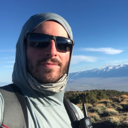
I recently got a SPOT to help ease things at home, evidently missed one location back near the Ranger.
I have it set to 10 minutes right now as a test, when I get out of cell coverage in the Sierra I'll likely change that to every 30 minutes. Nice thing is I have been successful in sending check-in and custom messages to my email and text msg.
Gale Mountain
-
JeffH

- Posts: 1367
- Joined: Sun Nov 28, 2010 7:09 am
You do not have the required permissions to view the files attached to this post.
"Argue for your limitations and sure enough they're yours".
Donald Shimoda
Donald Shimoda
-
Anthony

- Posts: 332
- Joined: Mon Jun 05, 2017 11:53 am
Nice. The Wilderness Park and Johnson's Pasture are too crowded for my liking. I enjoyed Marshall Canyon much more. I'll check Gale someday too.
-
Elwood

- Posts: 622
- Joined: Fri Aug 15, 2008 5:23 pm
Those would have been microwave relay horns like these...
You do not have the required permissions to view the files attached to this post.
