Hoyt Mountain Loop (from Clear Creek)

TRs for the San Gabriel Mountains.
Post Reply
User avatar
Sean
Cucamonga
Posts: 3782
Joined: Wed Jul 27, 2011 12:32 pm

Post by Sean »

On Friday, after a failed scouting effort, I happened upon a trail at the entrance for the Clear Creek Outdoor Education Center. Curious, I decided this path would be my new adventure. It started by staircasing down into a rocky, flowing tributary for Clear Creek.

Image

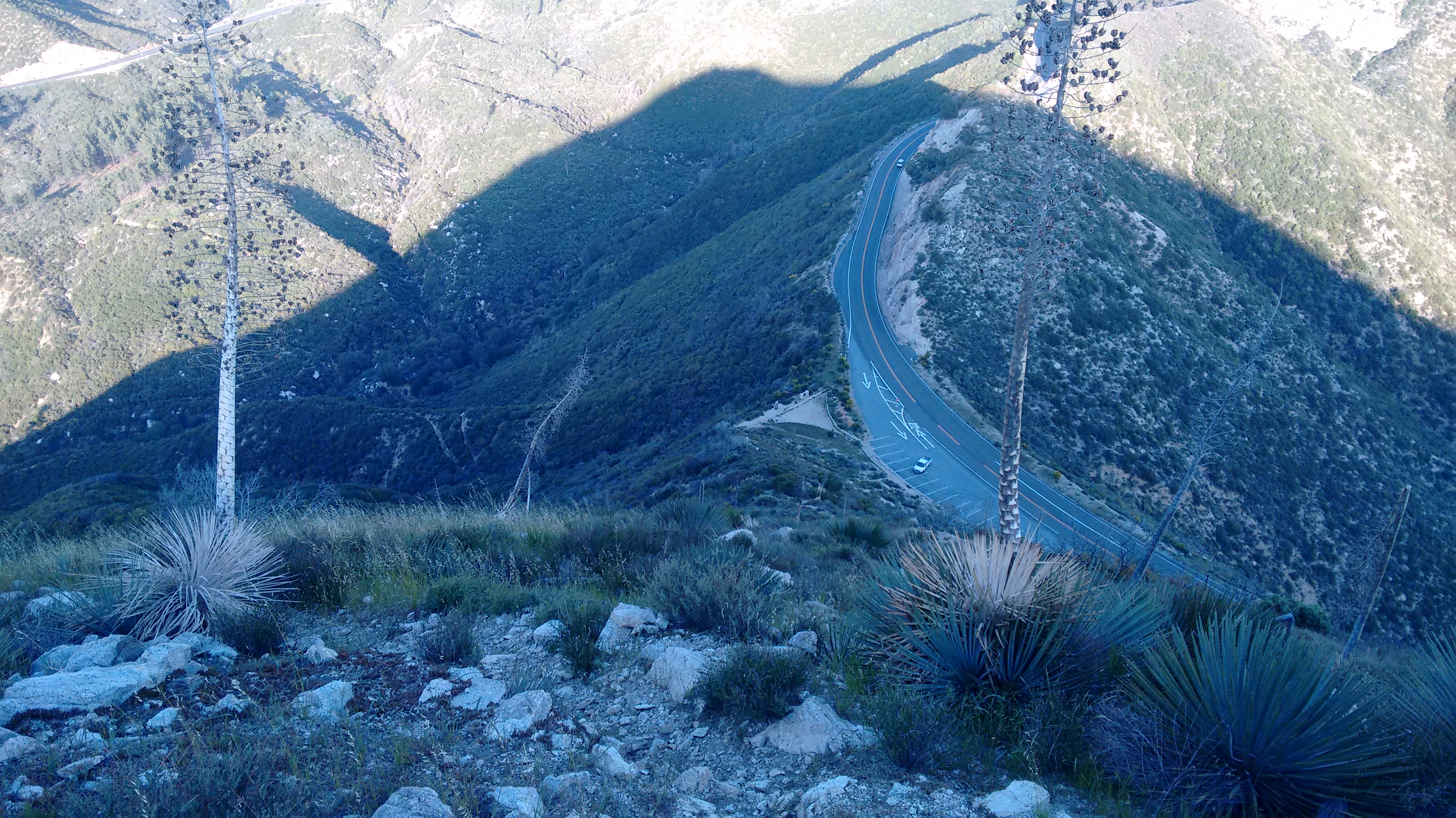
Then it soon emptied onto the Center's lower driveway. I sat on a roadside boulder and wondered what to do now. Suddenly a man drove up in a truck and explained where I was exactly. He didn't seem to mind that I was there, and he said I could go back up the trail or the road. So I walked up the road and found a connection to the stream in Clear Creek.

Image

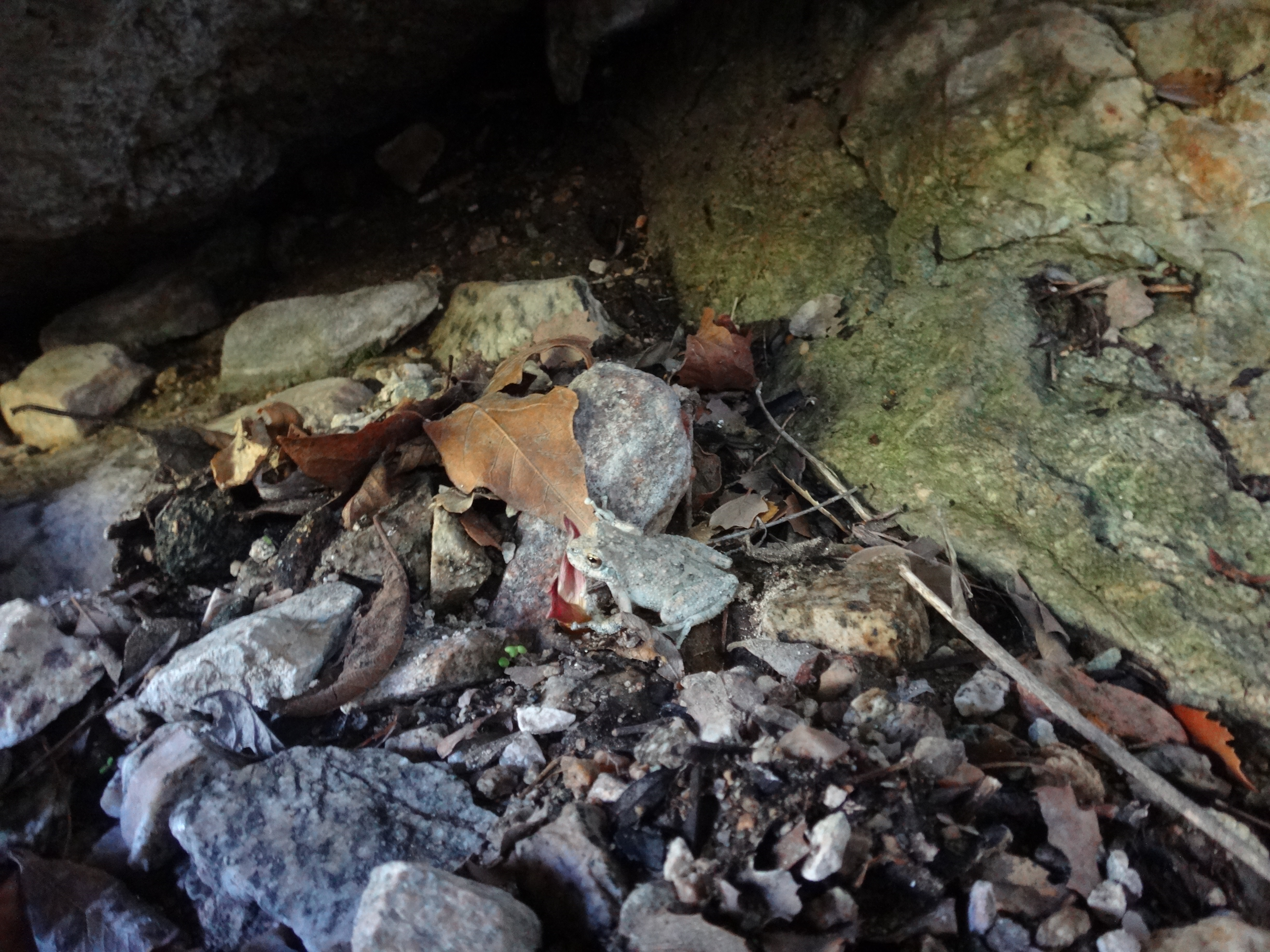
Next to the deep pool, I saw a little toad.

Image

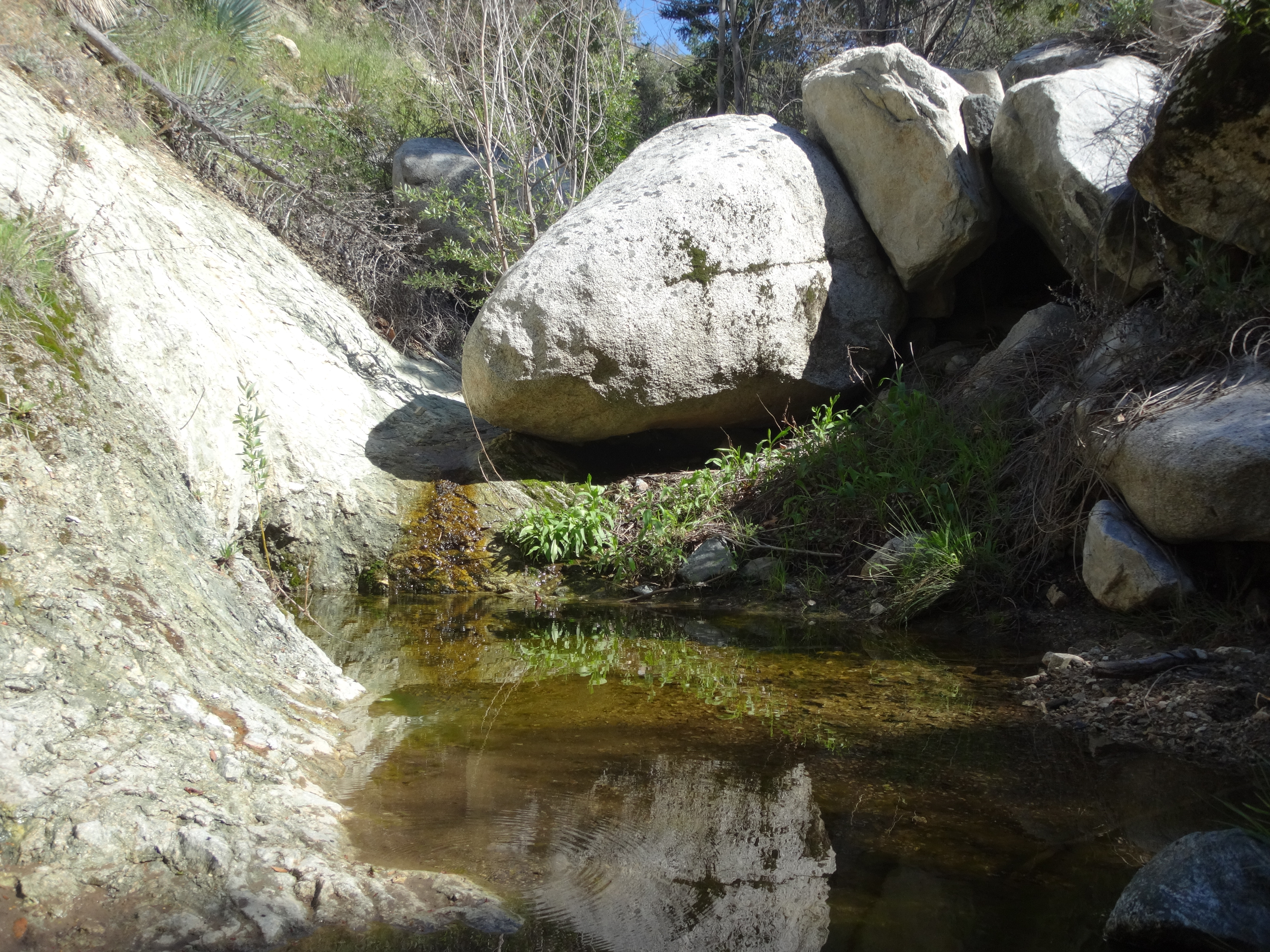
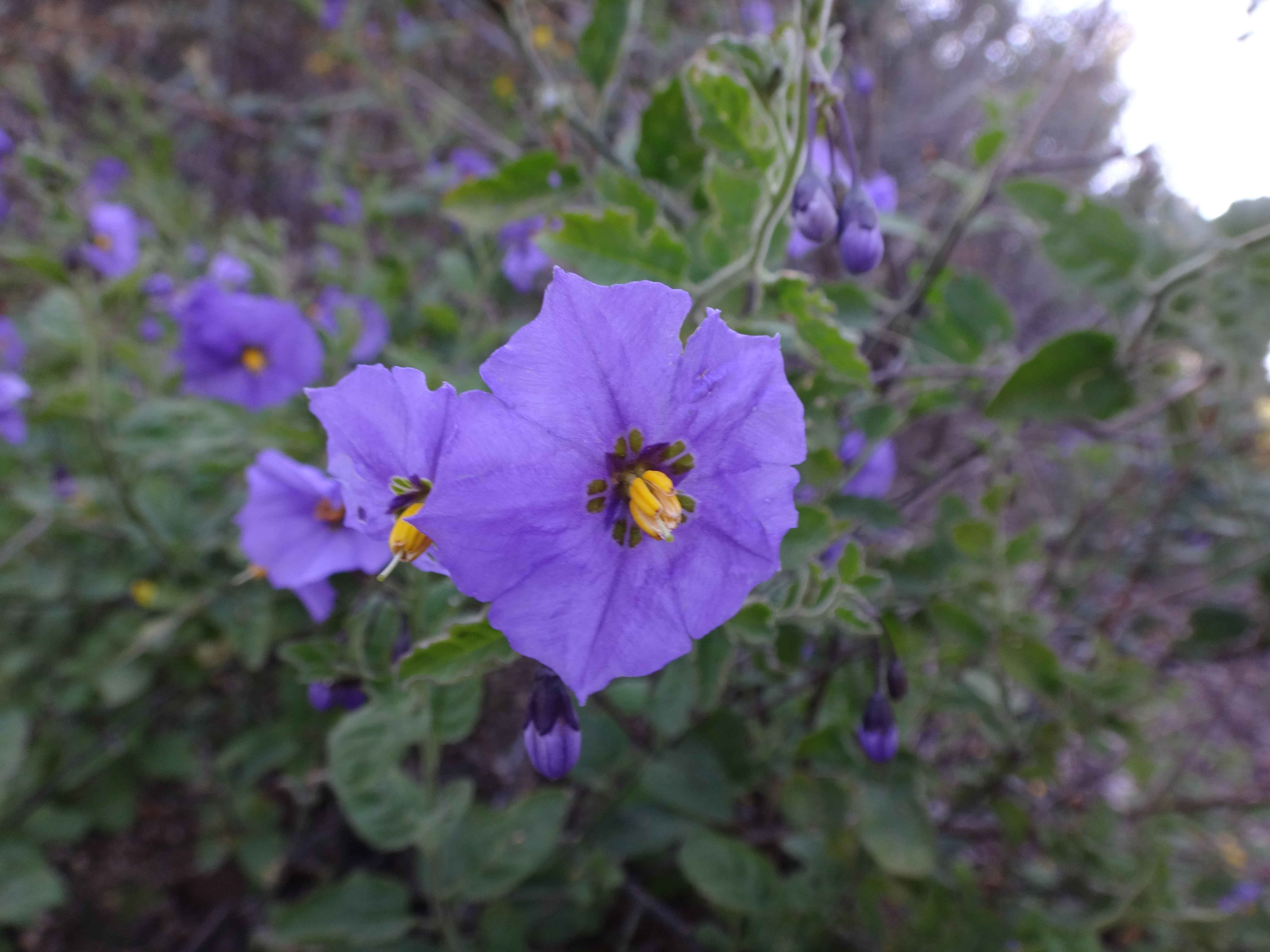
Not in any real hurry, I took a break in the shade beside the stream. Then I decided to go for Hoyt Mtn. The trail took off climbing and contouring westward. Many healthy flowers overhung the trail.

Image

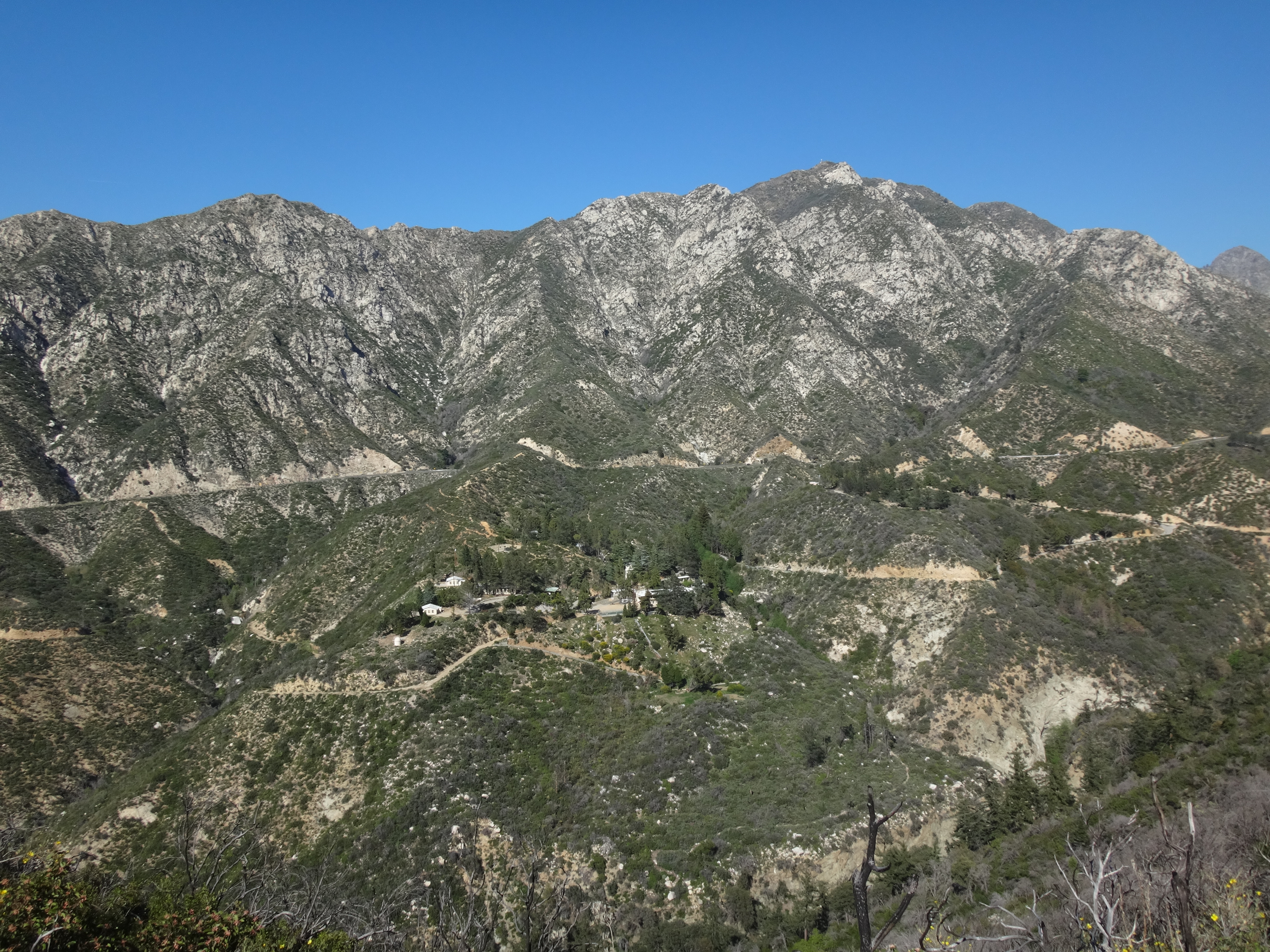
And the view of Josephine Peak was pretty sweet.

Image

Eventually I reached the e-towers at the saddle between Hoyt and Peak 4253'.

Image

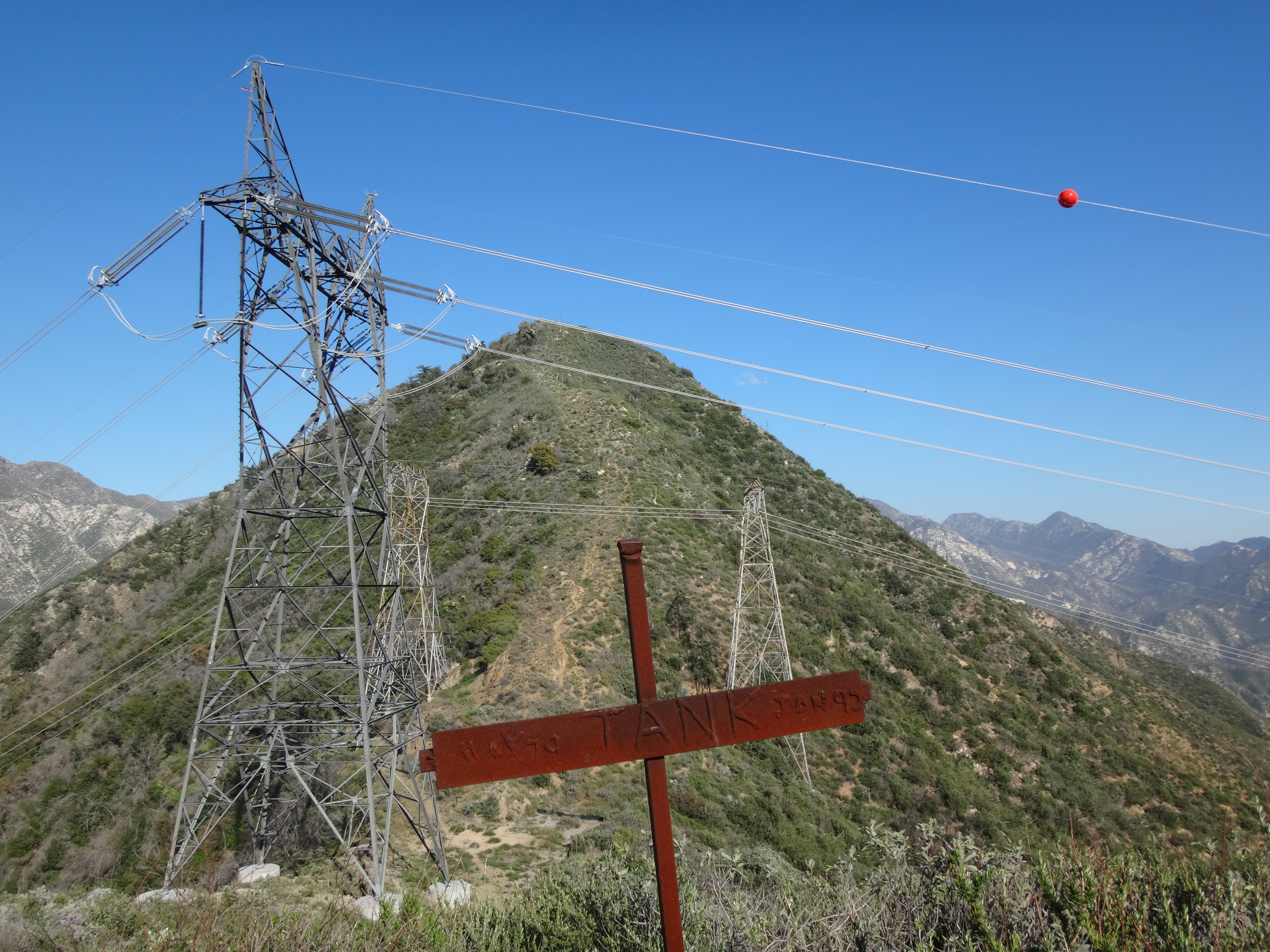
A twenty-four year old metal cross still stood at the saddle, memorializing "Tank," perhaps someone's dog, who died in 1992.

I left my pack at Tank's saddle and scrambled steeply up to 4253', which I might as well call Hoyt Junior. Unfortunately my camera battery died up there, so I only have one picture of the flat area around the summit.

Image

The highpoint of Hoyt Junior boasted a bunch of low brush, two upright metal posts, and a rusty food can, which I placed atop one of the posts. The sun was already low over Lukens, so I left quickly and returned to the saddle.

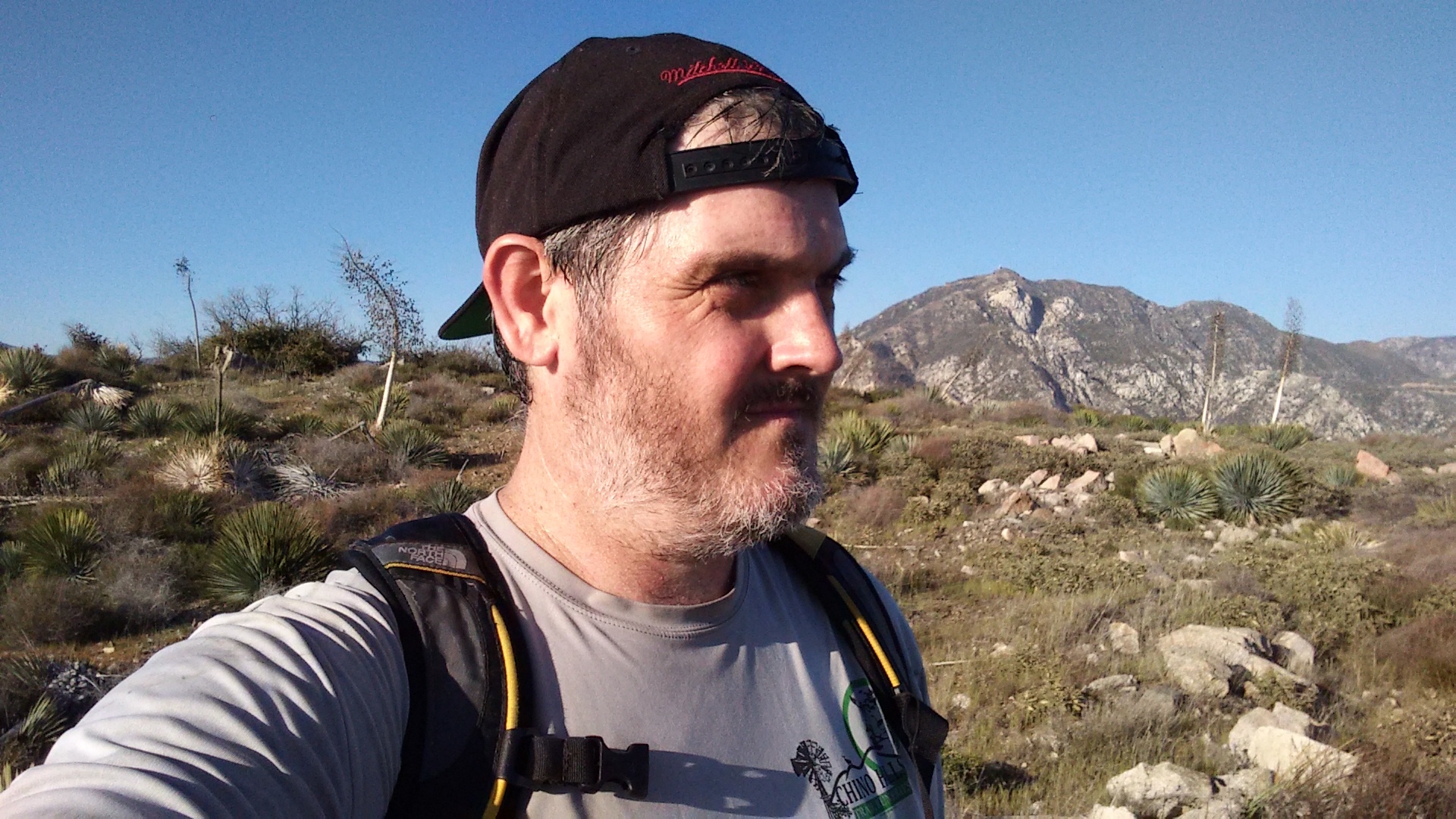
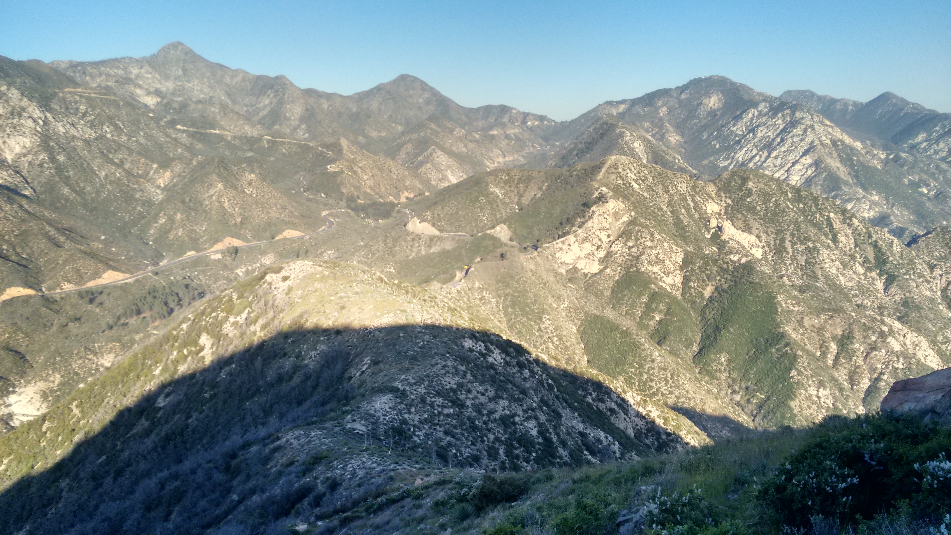
Further pictures would need to be taken with my smartphone, as I now began the traverse of Hoyt Mountain. Looking back I could see Junior and Lukens in the hazy sunlight.

Image

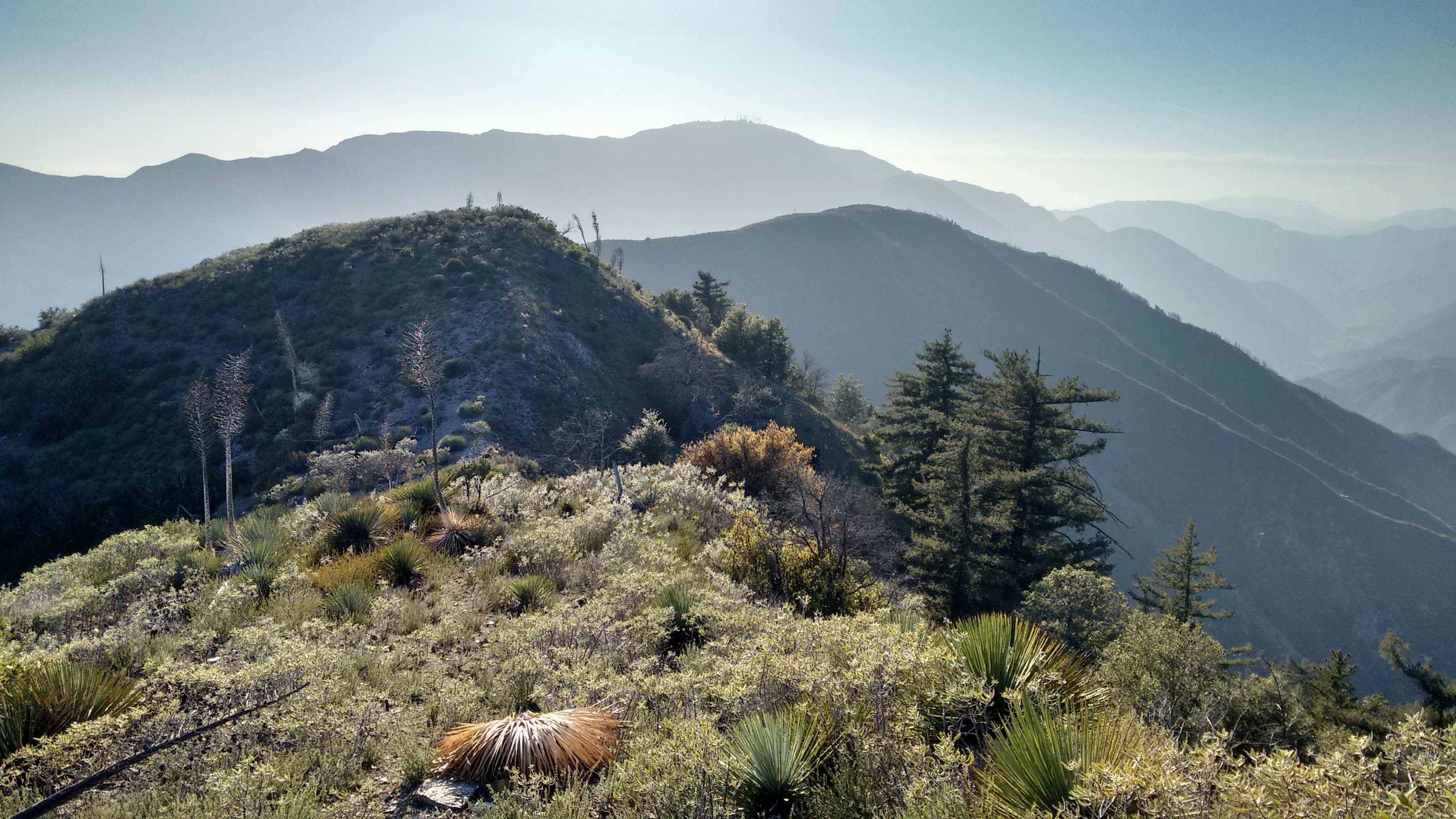
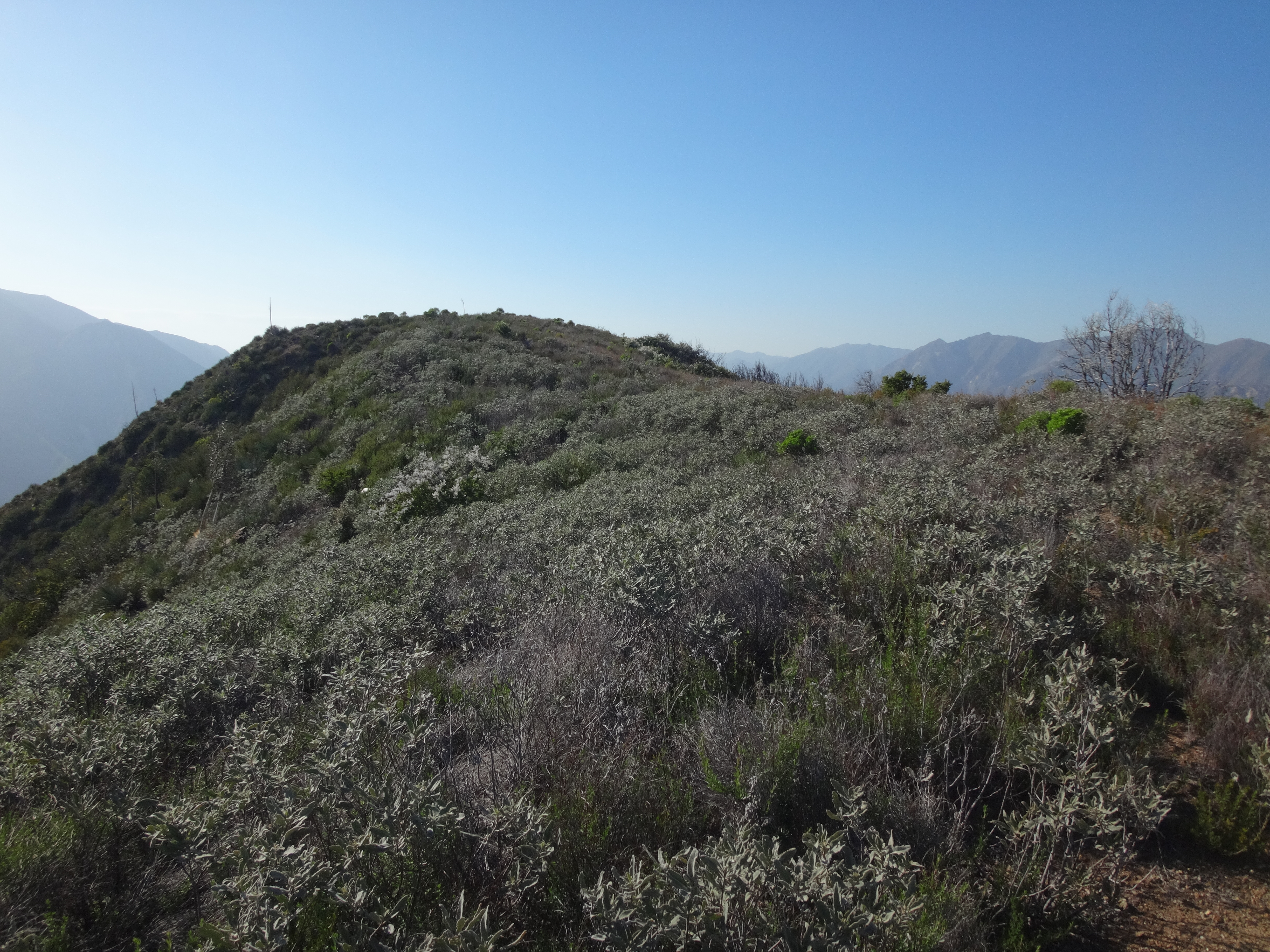
It didn't take long to mount the couple false bumps on Hoyt's west ridge, and then finally the true bump.

Image

Sort of in a hurry now, I departed quickly after writing a paragraph of nonsense in the register. The east ridge to George's Gap started off pretty mellow like, with a nice use path.

Image

There were some tower cairns with words on them.

Image

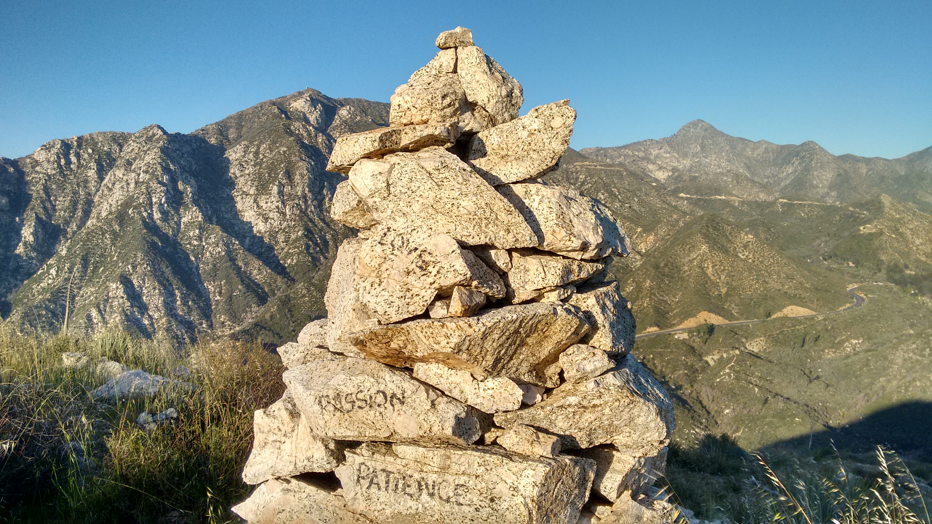
And some pink rocks.

Image

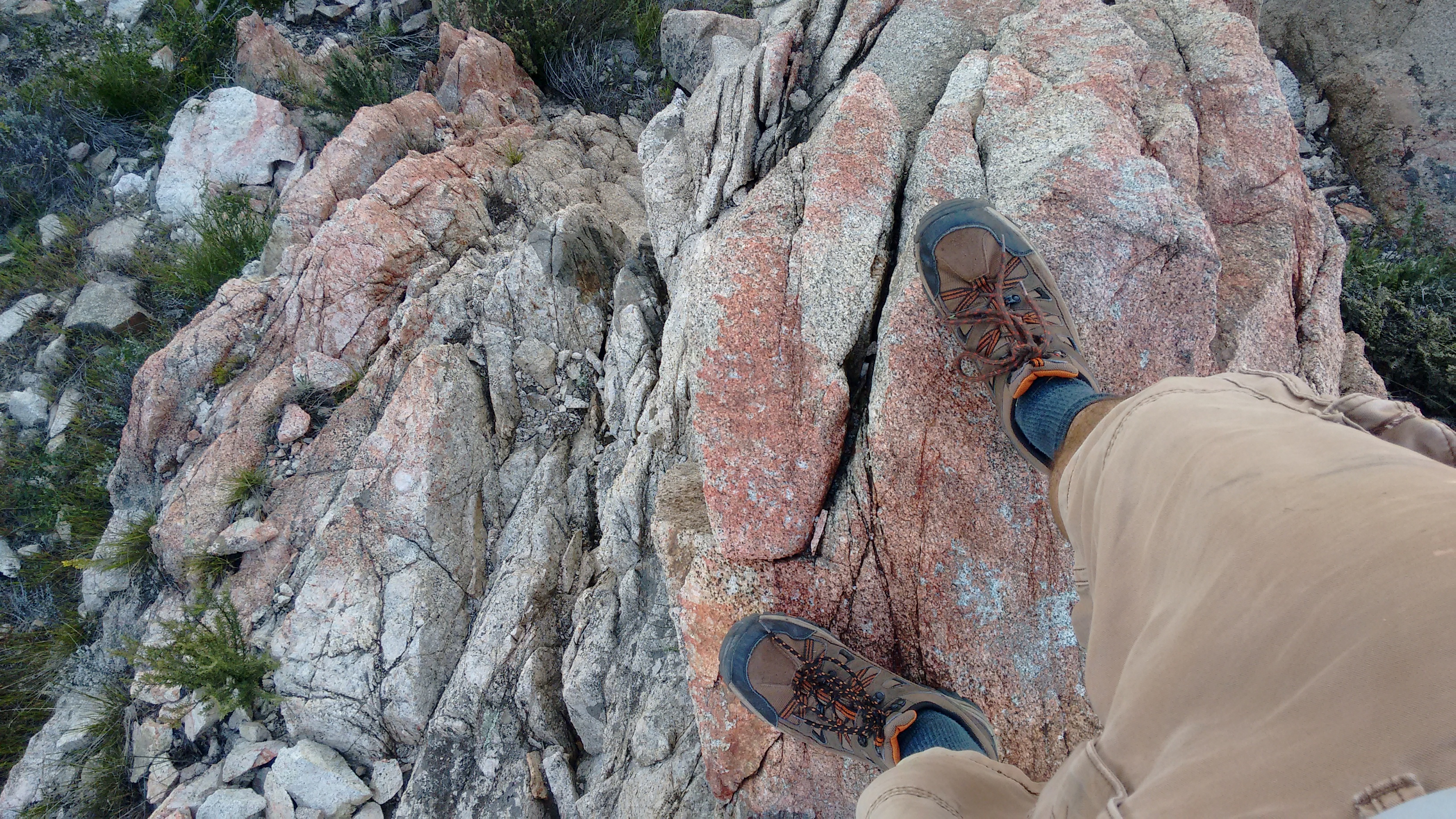
The final stretch dropped sharply to George's Gap. I had to use my hands a few times on class 2 terrain.

Image

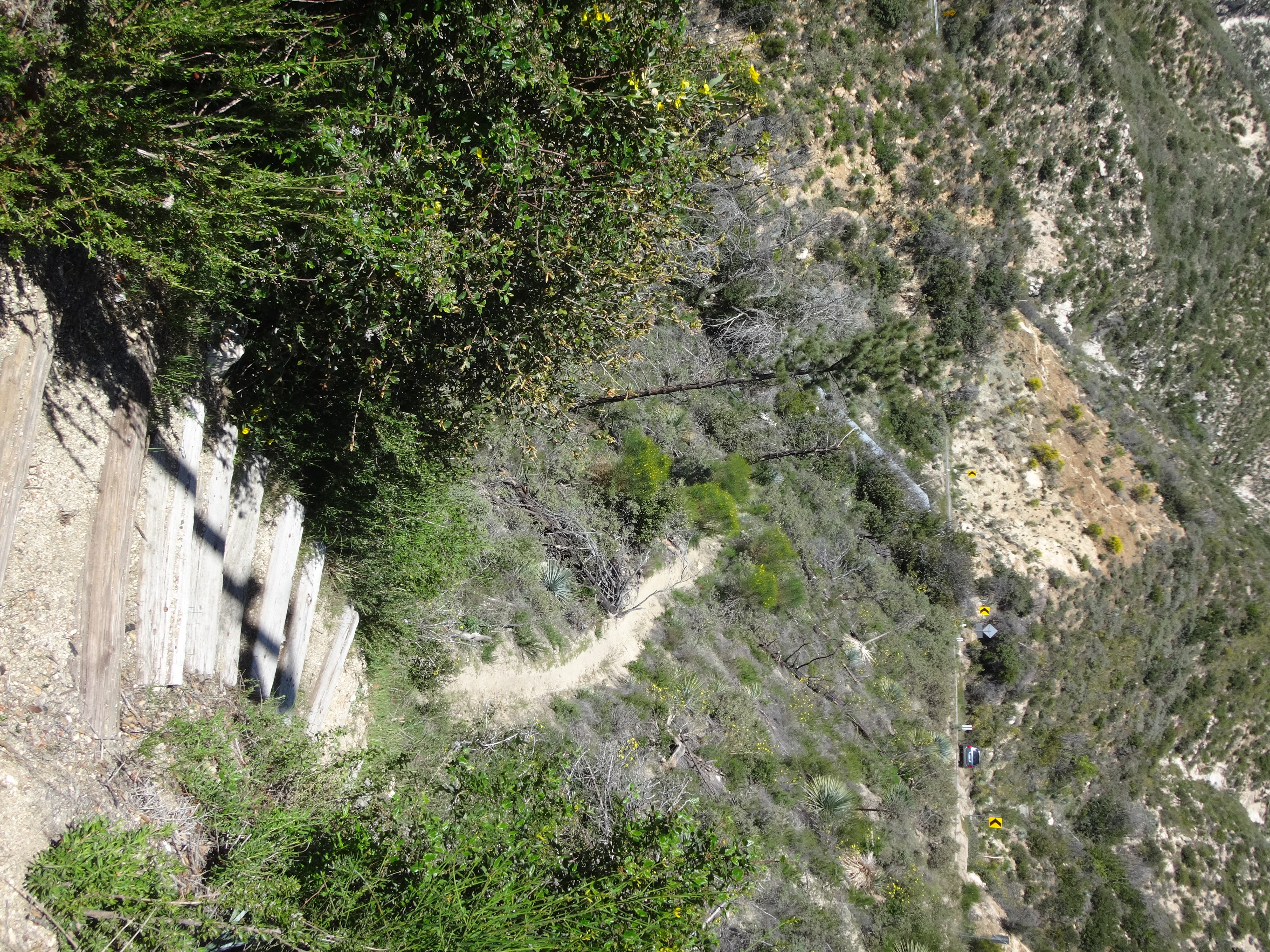
From the Gap I took the trail back down to Clear Creek, where a sign indicated a name for this trail.


Image

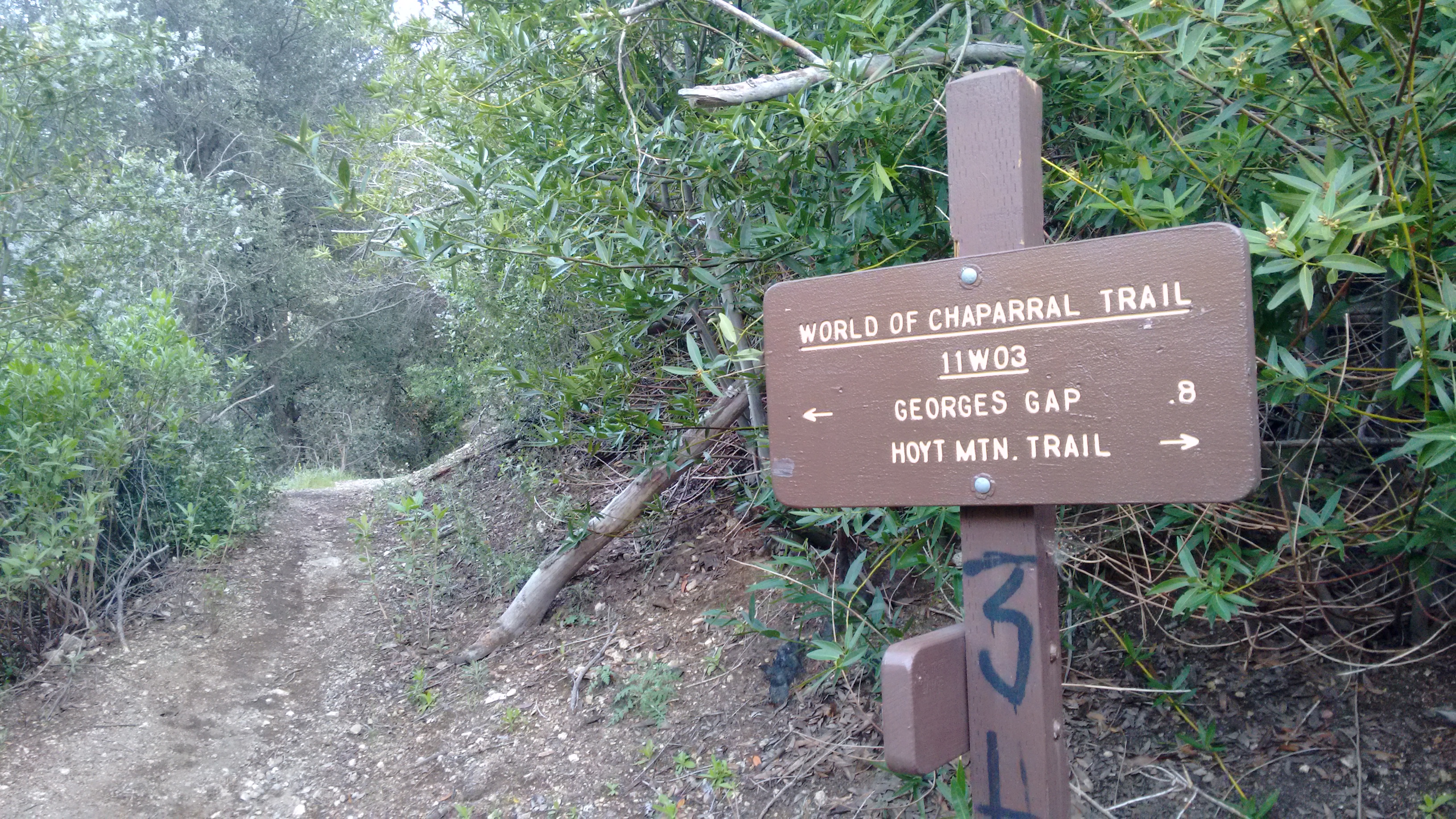
The World of Chaparral Trail was in good shape, though periodic poison oak tried to caress my bare shins. Stay alert for the evil vine!

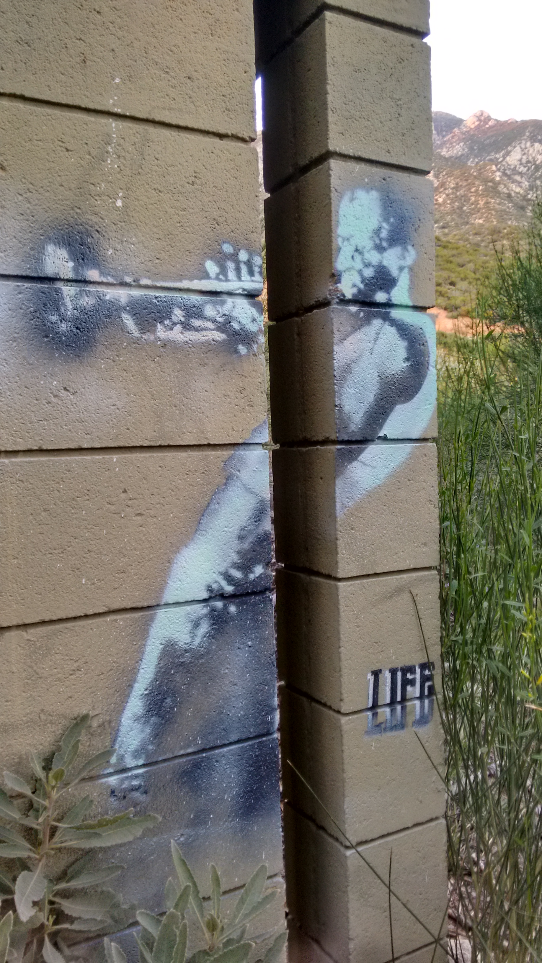
The final leg to The Pines picnic area was bliss. And at the abandoned restrooms a painting of Miles Davis adorned the outer walls.

Image
User avatar
Uncle Rico
Posts: 1402
Joined: Thu Mar 20, 2008 7:48 pm

Post by Uncle Rico »

Sean, I assume the "Hoyt Mountain Trail" is the same thing as what is shown on maps as the "Telephone Trail" (2N77)? Is it regularly maintained?
User avatar
Sean
Cucamonga
Posts: 3782
Joined: Wed Jul 27, 2011 12:32 pm

Post by Sean »

Uncle Rico wrote: Sean, I assume the "Hoyt Mountain Trail" is the same thing as what is shown on maps as the "Telephone Trail" (2N77)? Is it regularly maintained?
The only Telephone Trail I'm aware of is in Eaton Canyon. 2N77 is called Grizzly Flat Road. It's not regularly maintained and can be overgrown and obstructed by landslides, especially along the north side of Hoyt. There is another entrance to Grizzly Flat Road along the ACH just past CCC Ridge. That portion is in better shape and it'll also take you to Hoyt's west ridge.
User avatar
Uncle Rico
Posts: 1402
Joined: Thu Mar 20, 2008 7:48 pm

Post by Uncle Rico »

The "MapBuilder" base layer on CalTopo identifies the segment of 2N77 that skirts the back side of Hoyt as the "Telephone Trail." That's what's throwing me.

https://caltopo.com/map.html#ll=34.2720 ... z=16&b=mbt
User avatar
Sean
Cucamonga
Posts: 3782
Joined: Wed Jul 27, 2011 12:32 pm

Post by Sean »

Uncle Rico wrote: The "MapBuilder" base layer on CalTopo identifies the segment of 2N77 that skirts the back side of Hoyt as the "Telephone Trail."
MB uses OSM data, and someone in OSM labelled it that. I see that some blogs also call it that. But FS signage calls it the Hoyt Mtn. Trail, and USGS maps call it the Grizzly Flat Road. So take your pick. "Telephone Trail" will be confused with the one in Eaton, as canyoneers use it to drop in for the falls.
User avatar
dima
Posts: 1349
Joined: Wed Feb 12, 2014 1:35 am

Post by dima »

You can look through the history of that particular way: https://www.openstreetmap.org/way/30839647/history

And you'll see that this way was renamed from "Hoyt Mtn Rd" to "Telephone Trail" in February 2009 by mattmaxon in changeset 348535. That changeset touches much more than just that way, so it's hard to tell if this renaming was intentional or not. "Telephone Trail" just means that there were telephone wires strung along the route, which would be the case in many more places than just at Eaton Canyon. So I can imagine that some people refer to that route in this way. Matt doesn't post on this board anymore. Anyone talk to him still?
User avatar
Sean
Cucamonga
Posts: 3782
Joined: Wed Jul 27, 2011 12:32 pm

Post by Sean »

I'd be interested to know how many other things are labelled "Telephone Trail" in OSM. I just found another "Telephone Trail" on the Maxon route into Suicide Canyon. I don't think this default name should be used for trails that already have official names.
User avatar
dima
Posts: 1349
Joined: Wed Feb 12, 2014 1:35 am

Post by dima »

I don't know anything about those areas. It'd be good to talk to Matt about it rather than just changing his labels. Want to ping him, or should I?
User avatar
Sean
Cucamonga
Posts: 3782
Joined: Wed Jul 27, 2011 12:32 pm

Post by Sean »

You can, if you want. I see some other mistakes in that area. Maybe I'll create an account and fix them myself.
User avatar
dima
Posts: 1349
Joined: Wed Feb 12, 2014 1:35 am

Post by dima »

Alright, I sent Matt a note. And you should definitely do some mapping. If you do, use JOSM. It's the best editor by a mile.
User avatar
mattmaxon
Posts: 1137
Joined: Mon Mar 24, 2008 12:48 pm

Post by mattmaxon »

The name was coined by the Clear Creek Outdoor Education Center staff. It certainly has no "official" sanction.

I for years scratched my head over the purpose of this old road grade (ORG) After following the adventures of Paul Ayers?(lawyer in pasadena) and seeing historic photos along with talking with local sar team members it is part of the utility line road that predated Highway 2 and Angeles Forest Highway.

I did a great deal of volunteer work with the Sierra Club on the trails surrounding the Education Center in years bygone

FYI the trail from Markham Saddle to the old Barracks site below San Gabriel Peak is known as "Telephone Trail" too
Post Reply