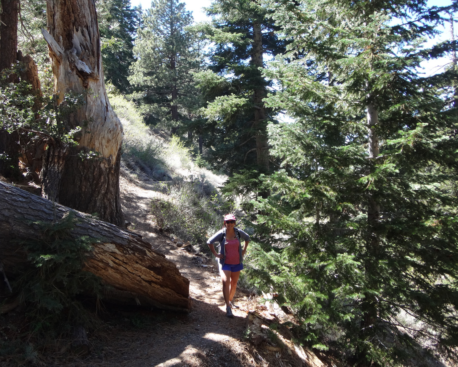
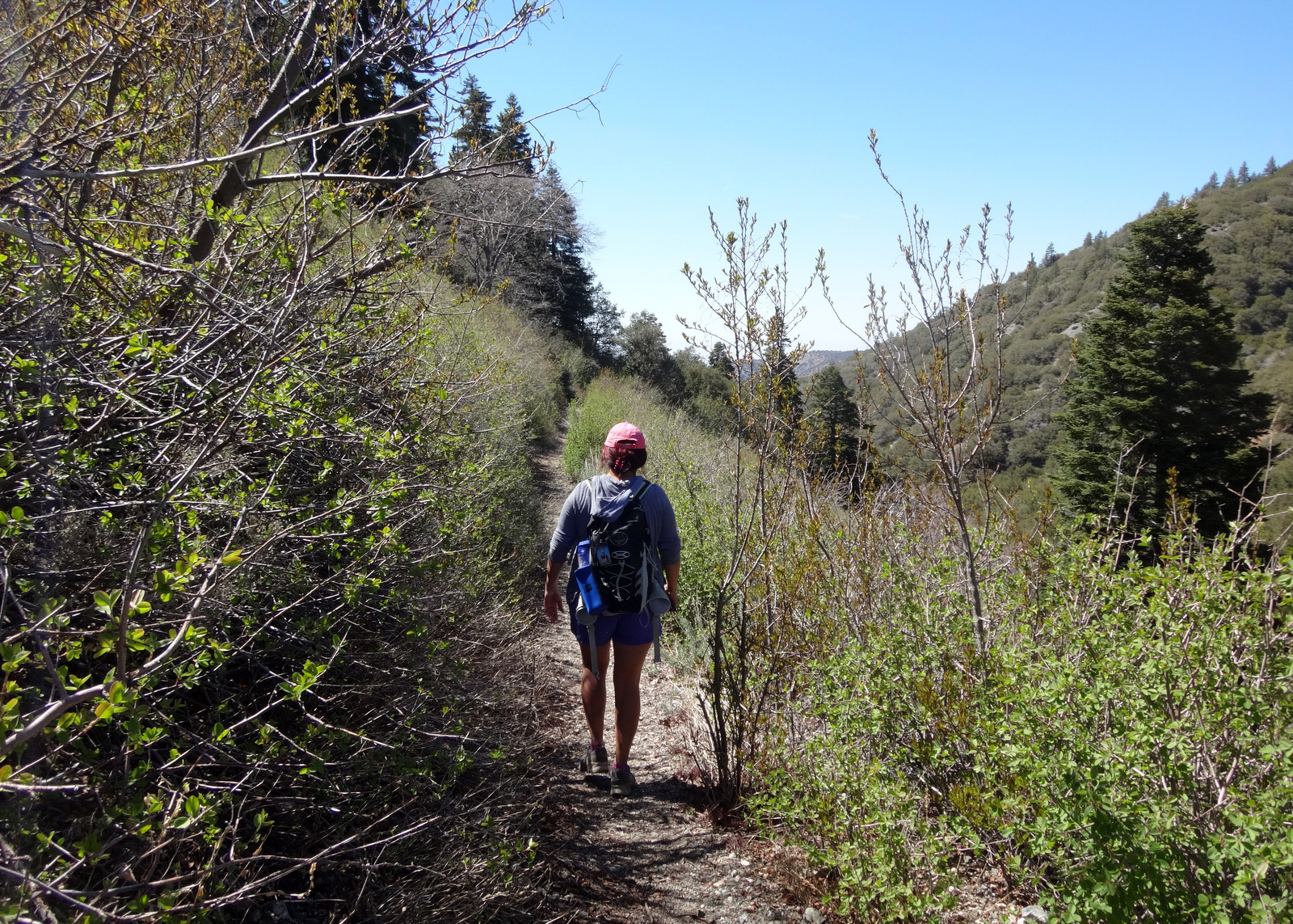
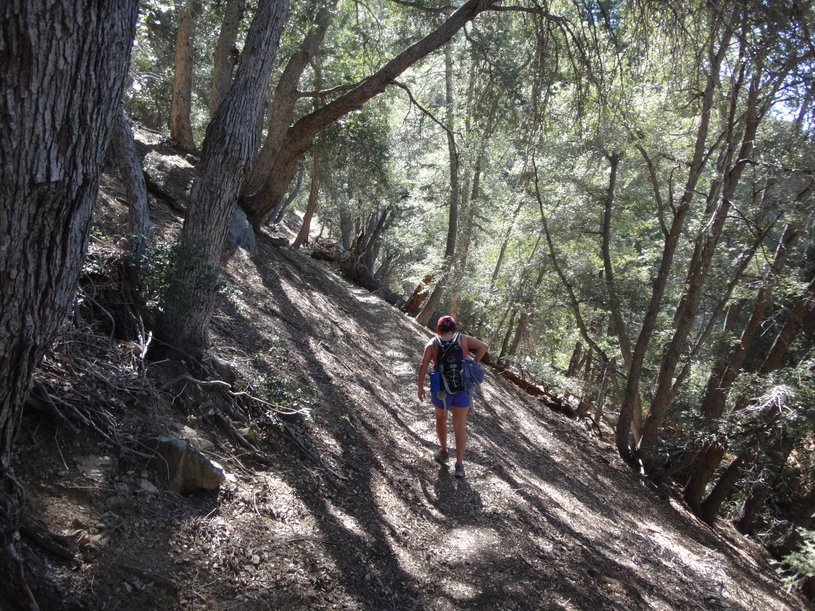
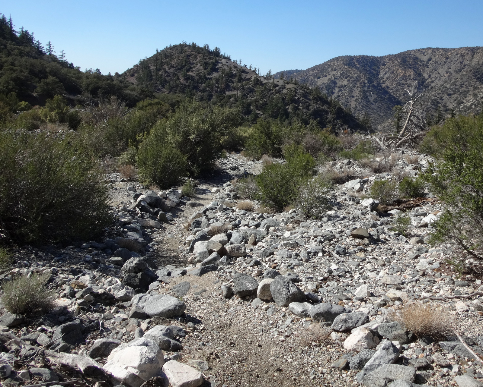
It is a very pretty trail that starts out gently contouring and descending the head of Big Rock Canyon. Because the path runs along north-facing slopes, we enjoyed quite a bit of shade from all the huge pines and oaks.
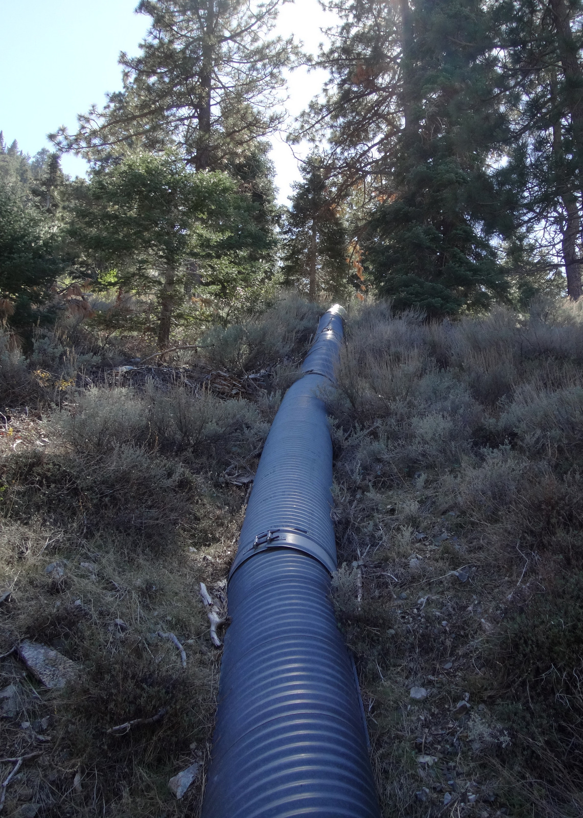
In the first half-mile or so, three large drainage pipes crossed under the tread. They drain the Angeles Crest Highway which runs parallel to--and a few hundred feet above--the trail.
The Big Rock Creek Road (4N11) also ran parallel to the trail, but on the other side of the canyon down below. I suppose that road can be used for a loop route from the South Fork, but we didn't make it that far.
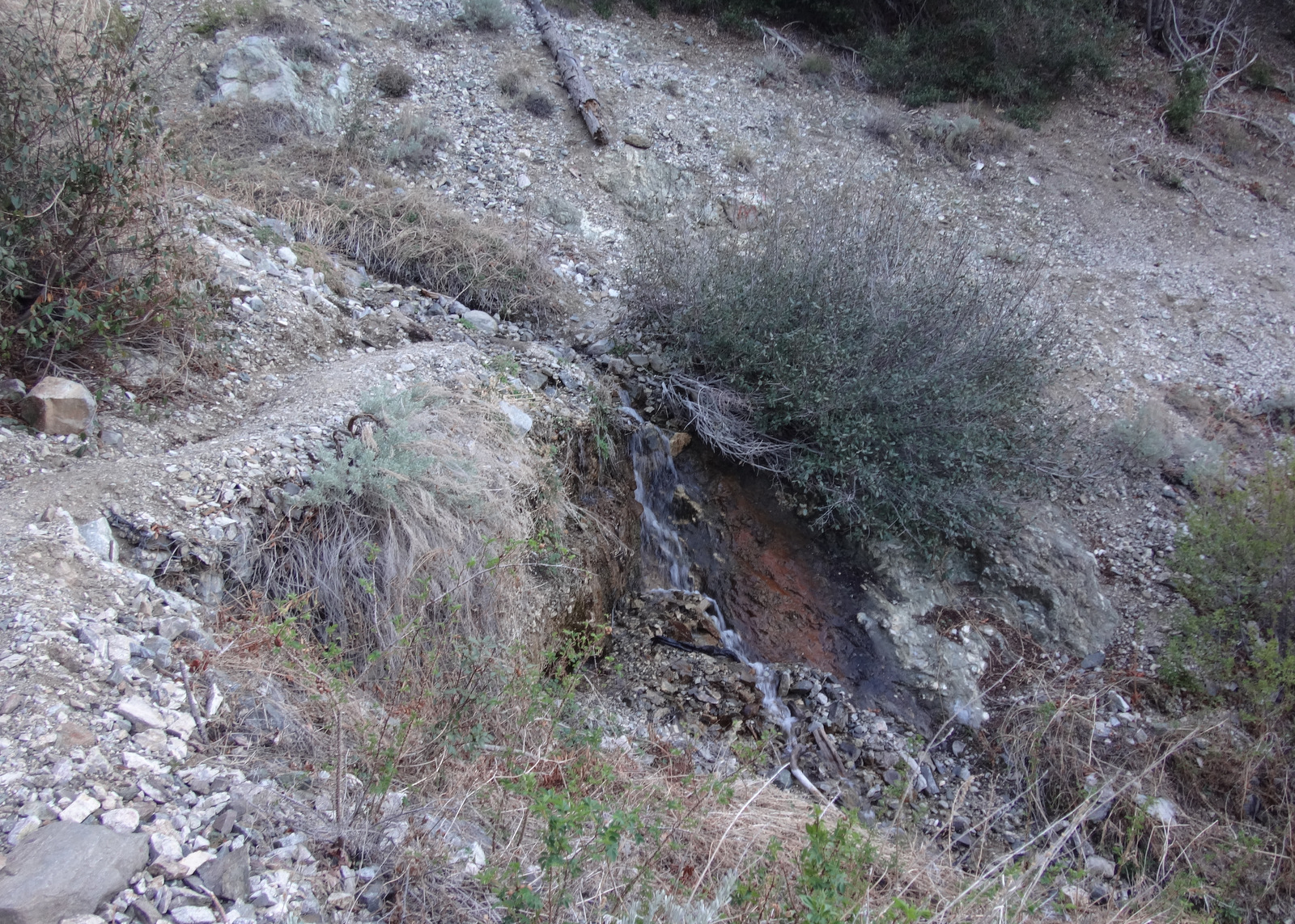
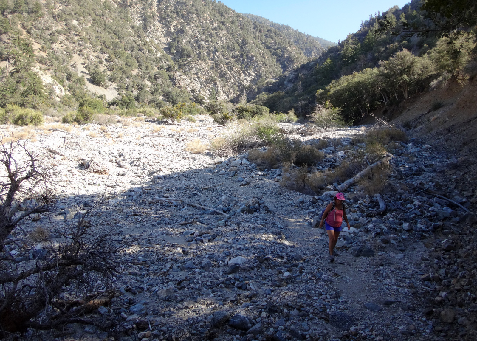
Maybe 1.5 miles into the trip we crossed a healthy stream. I'm not sure if this was the main branch of Big Rock or just a tributary.
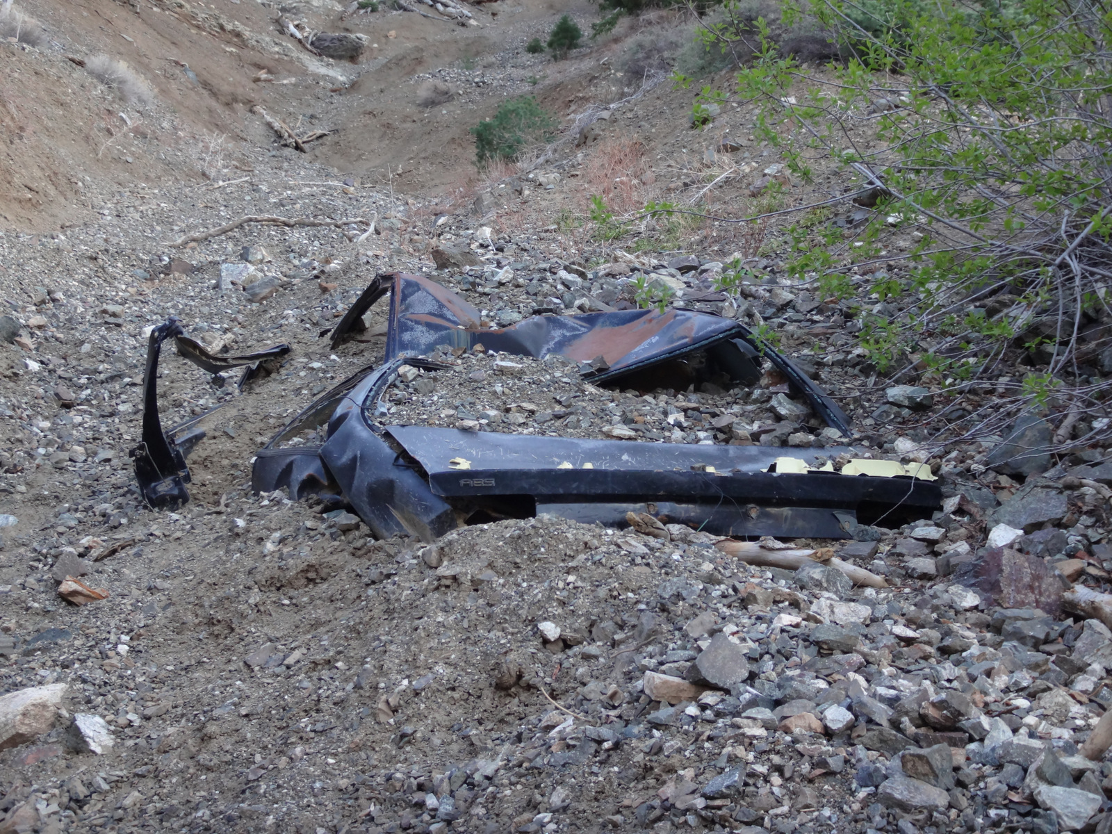
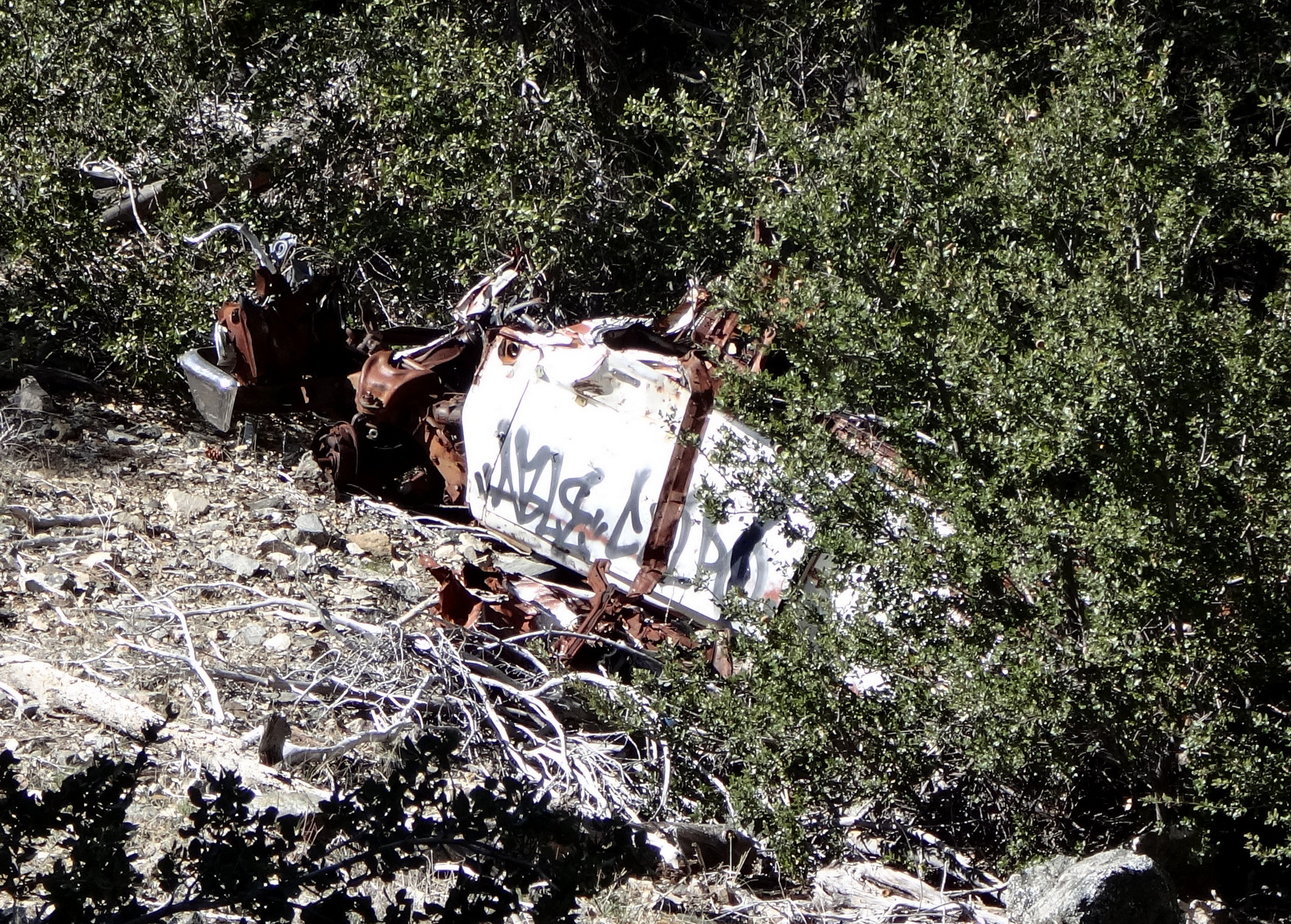
We noticed two old car wrecks and imagined them flying off the side of the highway and tumbling down the canyon for a thousand feet.
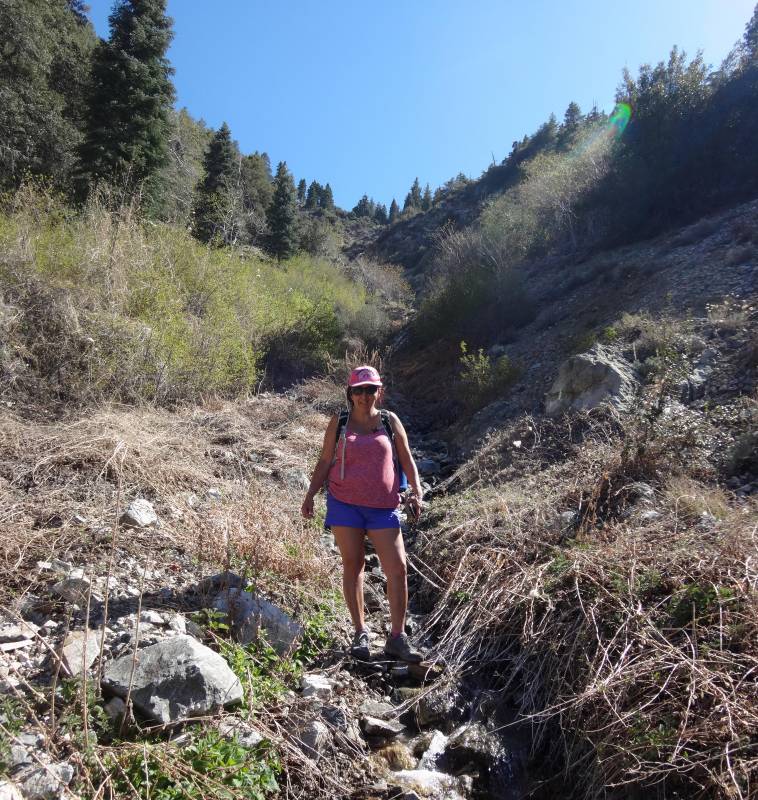
In the wide Dorr Canyon wash we took a meal break in the shade of some small trees. We could see the Big Rock Creek Road about a half-mile down the wash to the north and considered it for the return. Then we noticed a small peaklet (5670') to the northwest. Cecelia wanted to see if we could get up there, so we continued on the trail crossing the wash.
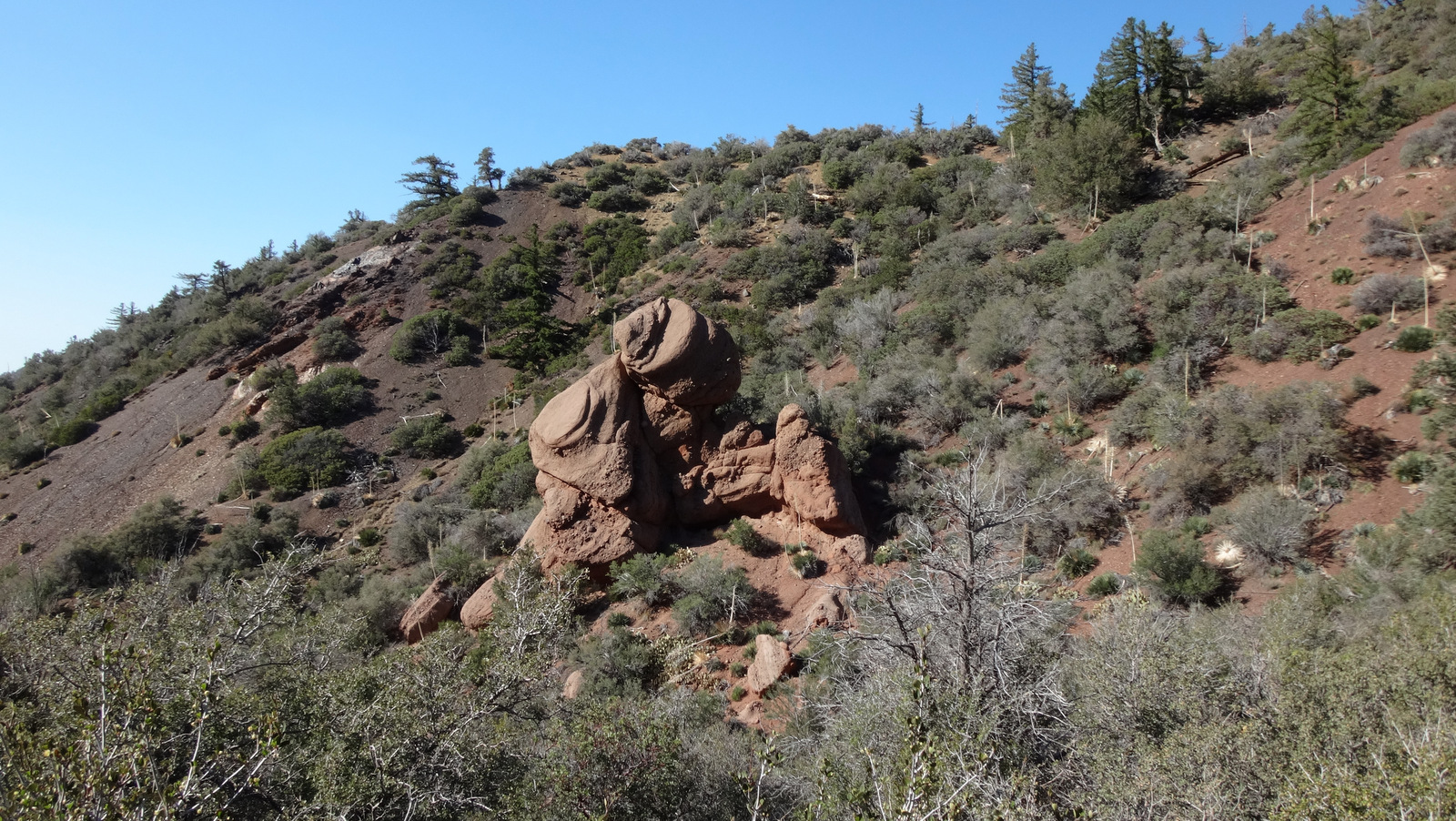
The trail climbed a hundred feet to the saddle south of Peak 5670. From this vantage point can be seen a large rock formation.
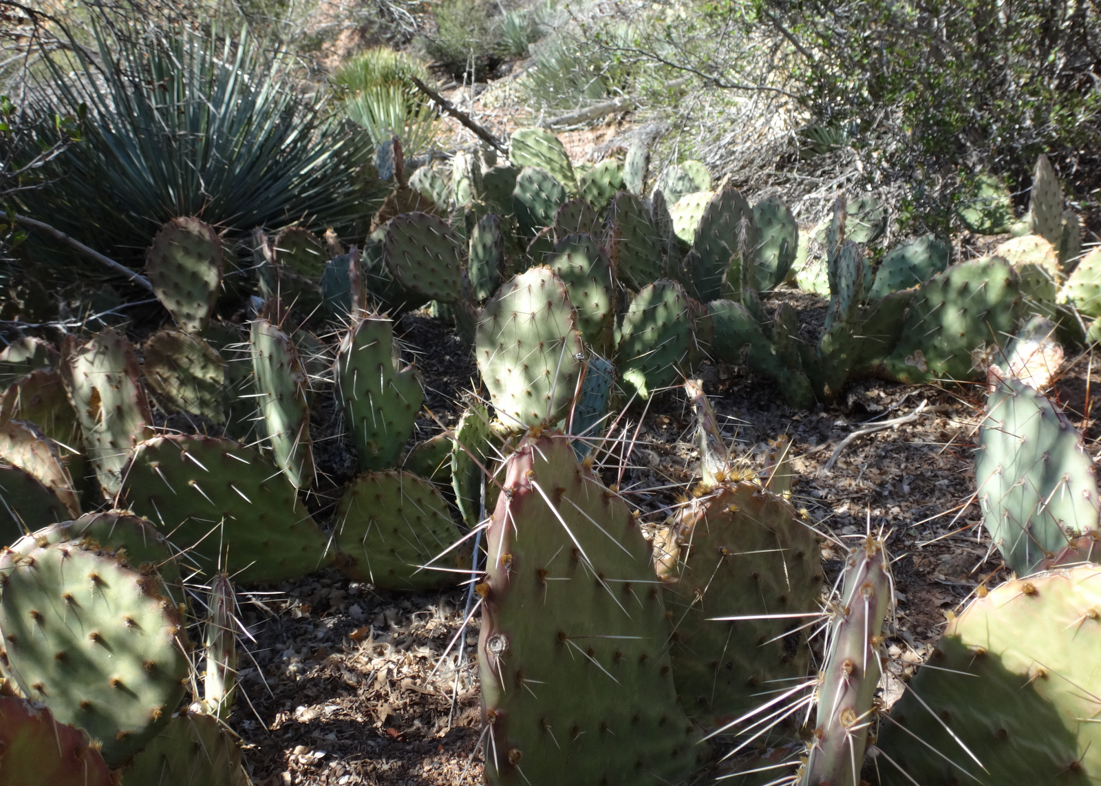
Short on time, we decided to check out the rock and leave the peaklet for another day. Reaching the formation required a small bit of scrambling through brush and cacti.
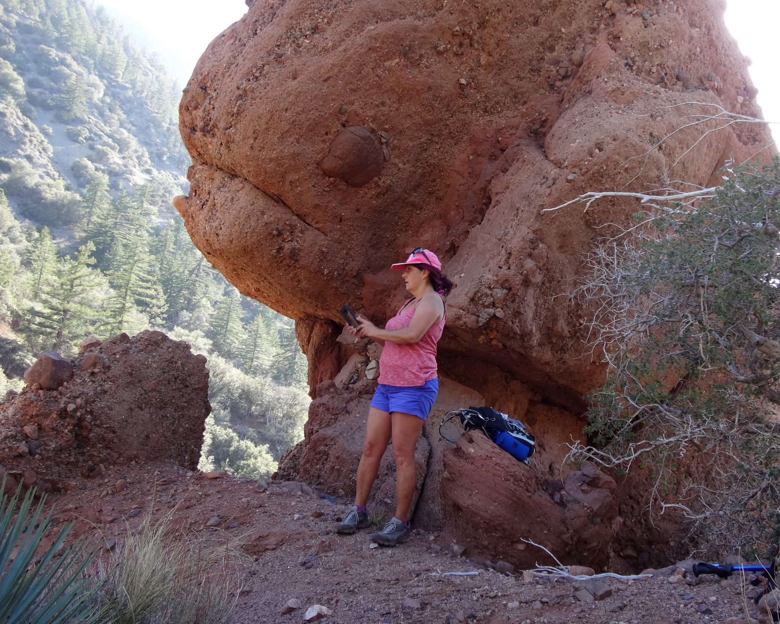
The outcropping would serve as our highlight and turnaround point.
It appeared to be red sandstone. The bulbous top rested on a thinner base, reminding me of some rocks in Utah. Unfortunately it didn't look easily climbable.
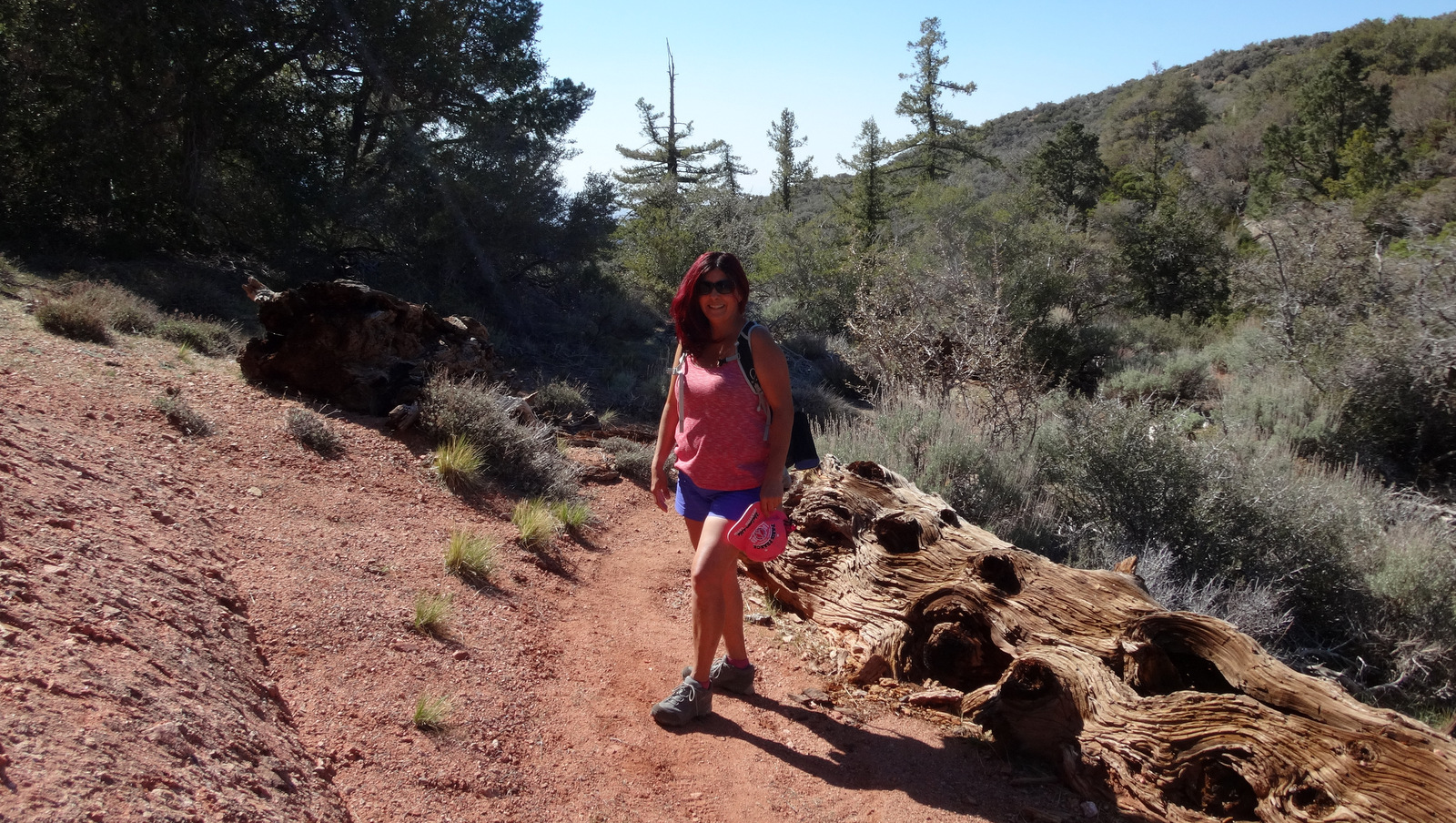
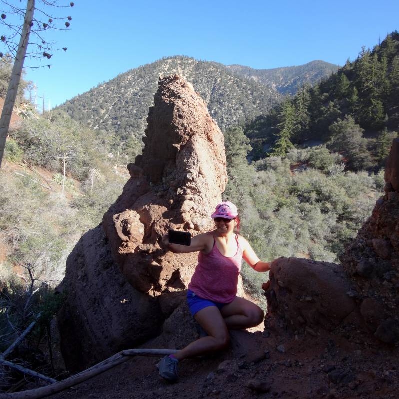
The route up to 5670, however, seemed manageable, though pretty steep. It was getting late, so we headed back. I particularly liked this one section of the trail with red dirt and an old gnarled tree trunk, and so I made Cecelia pose here.