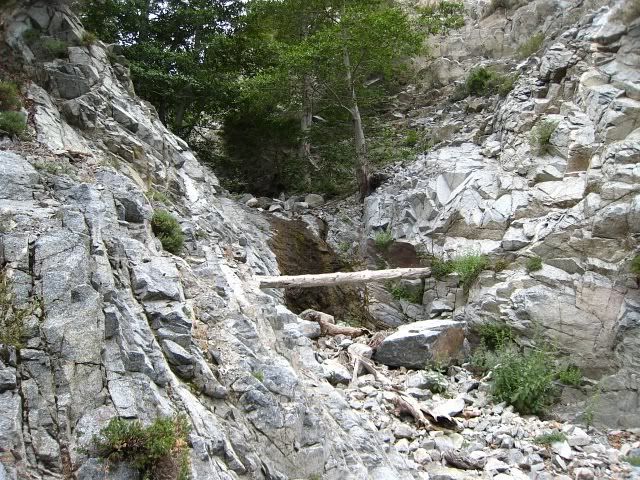
I spent 40 minutes fooling around at FRC and had accomplished nothing. I retreated back to the main trail and went up to the Saddle. Now I had to go all the way around to get to Ontario. Turns out Christopher Brennan says there is a use trail around the bushes east of this first FRC waterfall. I should have printed out his trail description.
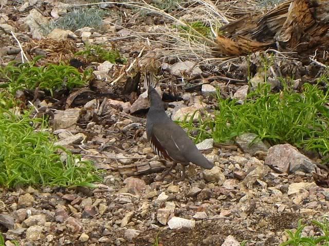
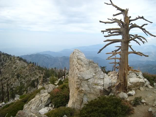
Of the four OBCE peaks, I've only been to Cucamonga, so it was an interesting day. Ontario is freakin' far--at least if feels that way. That place is strange. The dead and stripped trees remind me of a nuclear winter. Lots of brush and wildflowers, though. I saw several weird birds that walked around on the ground like chickens and would run scared into the bush when they saw me. I guess they're Ptarmigans? But these ones had a vertical feather on their head. At Ontario I climbed the quasi summit block--that was fun.
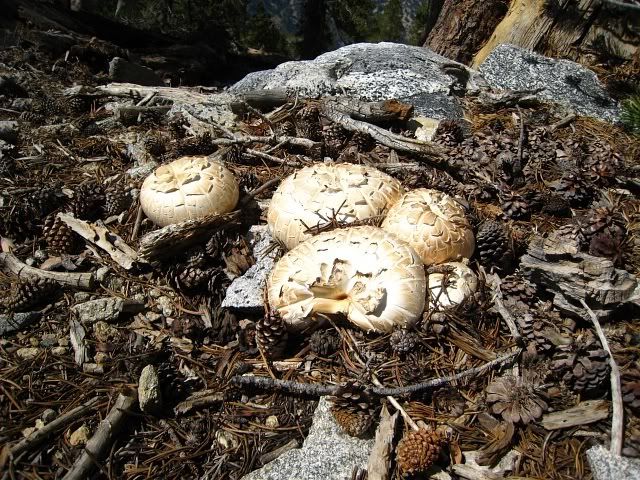
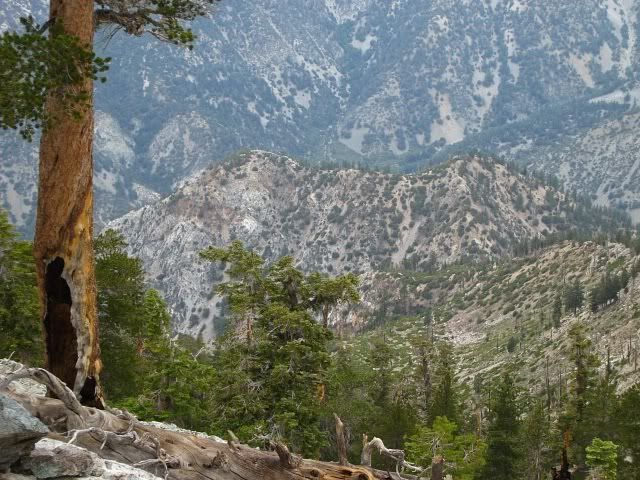
The traverse to Etiwanda is also nice. You walk in a forest of dense pine trees. Since it had rained overnight, the whole place smelled like that bark you buy for ground cover at the Home Depot. The ground was covered in damp pine needles, so it was soft and springy. On the way back from Etiwanda to Cucamonga, I came across some mushrooms on the trail. I've never seen that before.
I started the hike at 7:30am and ended at 5:30pm, so 10 hrs of hiking. I carried 3L of water and had a little bit left at the end. It was overcast, cool and humid. At Columbine Spring I washed my hands and face and drank a few handfuls of water. I guess I was taking a chance but that was the best tasting water I've ever had! It was kinda sweet.
The first waterfall at FRC
A Ptarmigan?
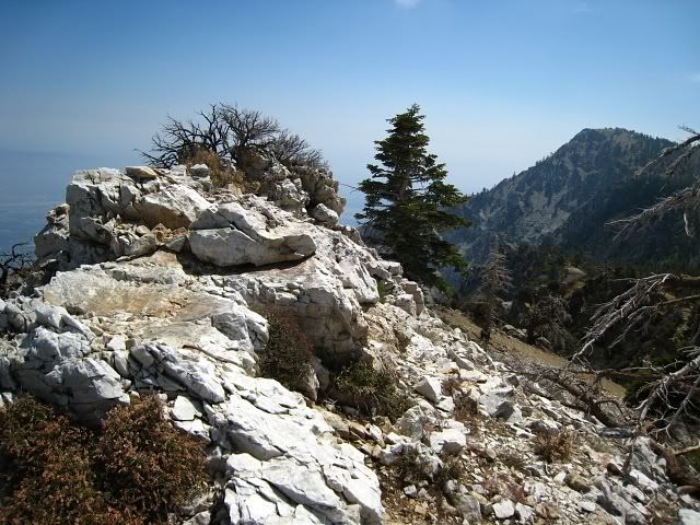
Ontario Peak
Is that Sugarloaf on the left?
Damn Cucamonga campers
Etiwanda and Cucamonga in the distance.
Mushrooms