

We followed the PL and P into the gulch as far as we could tell. Based on the USGS trail, it might have been slightly higher on the wall. It wasn't long before we hit a ravine with no obvious way across. We debated dropping a few hundred feet down a scree slope and trying to get back up to it across the ravine, but decided to just take the scree slope into the gulch and start up from there. I dropped down the scree and Dima left a big gap between us to avoid knocking rocks down on me. We entered at a small waterfall and it was at once both beautiful and terrible. Thick, healthy trees grew in the gulch, but the ground was filled with decayed trees, boulders, leaves, poison oak, and water. The decayed trees were so rotten that even 2' diameter logs would not support my weight. We fought slowly upstream until we hit the second major waterfall as described in the canyoneering report. It was a 20' fall with a long, deep pool below it. We followed a side wash on the left, then did some light class 3 on loose dirt/rock to bypass the waterfall. I did the calculus of our rate plus the odds of running into a waterfall we could not bypass and suggested we turn around. Dima would have continued, but agreed to head back. We decided to follow the gulch out.
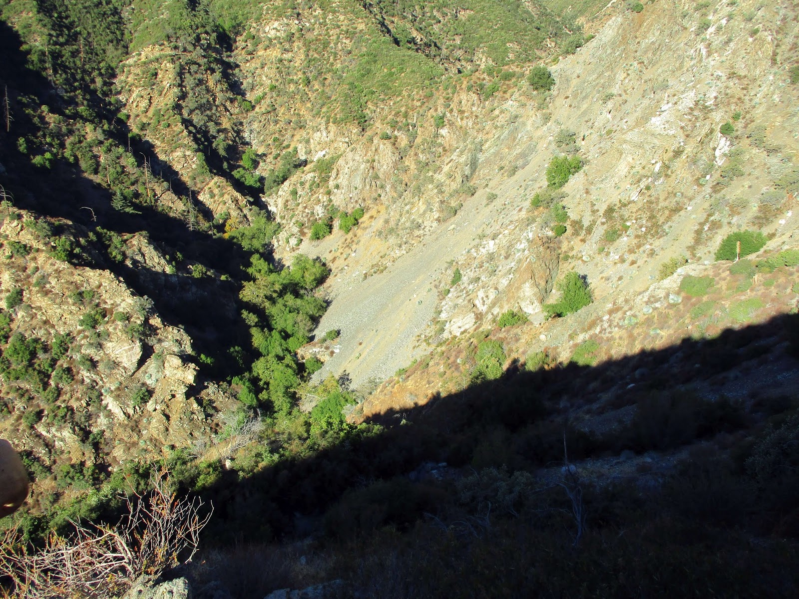 Looking down into the gulch
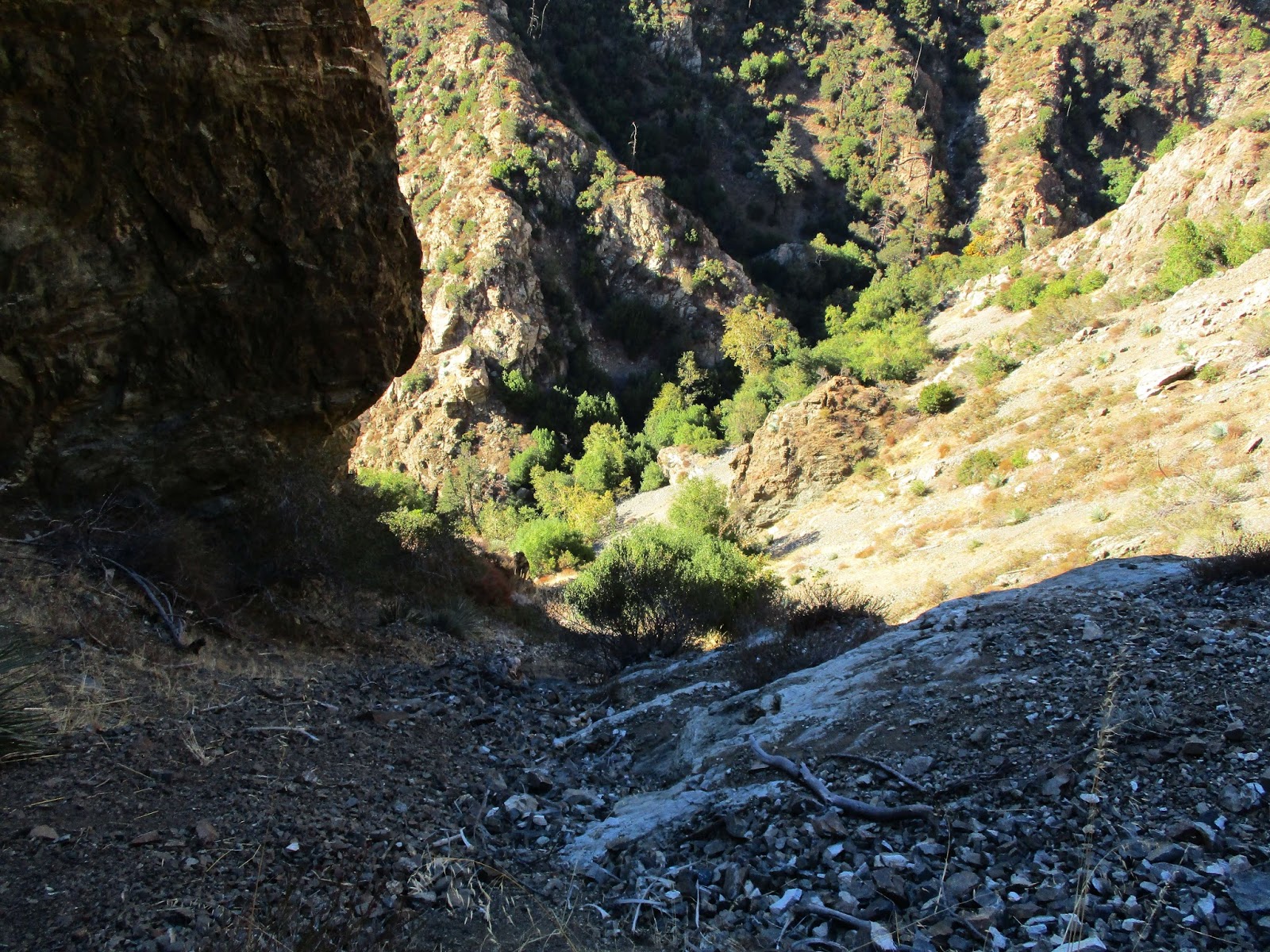 Scree slope down
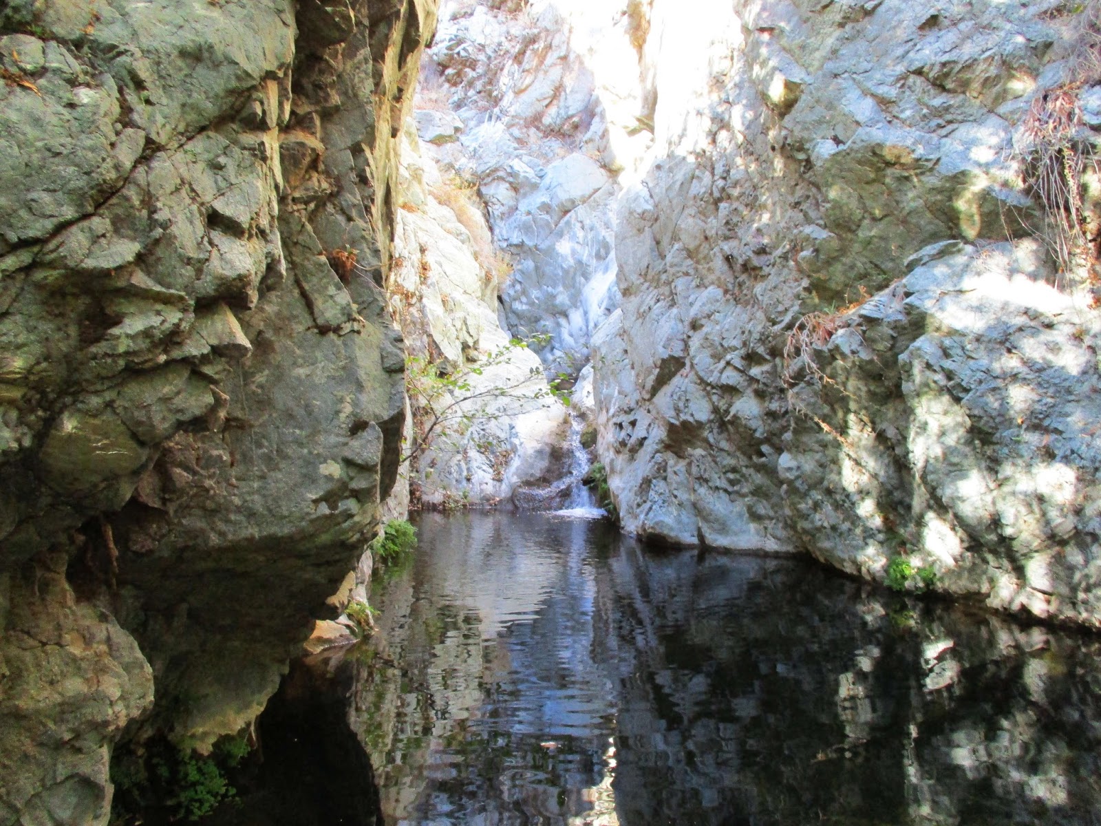 The 2nd waterfall and pool
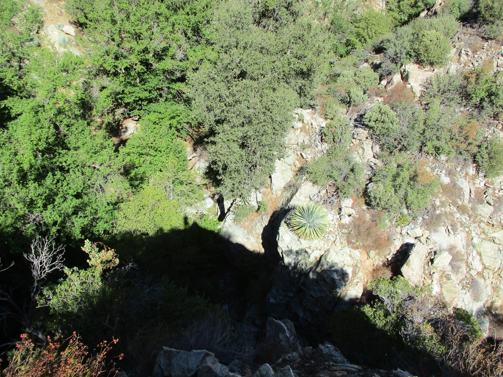 Looking down from the waterfall bypass
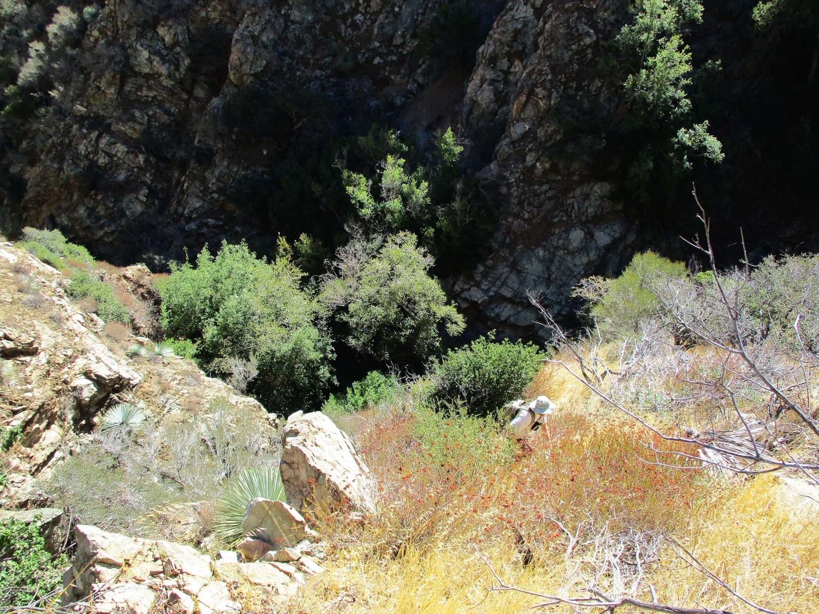
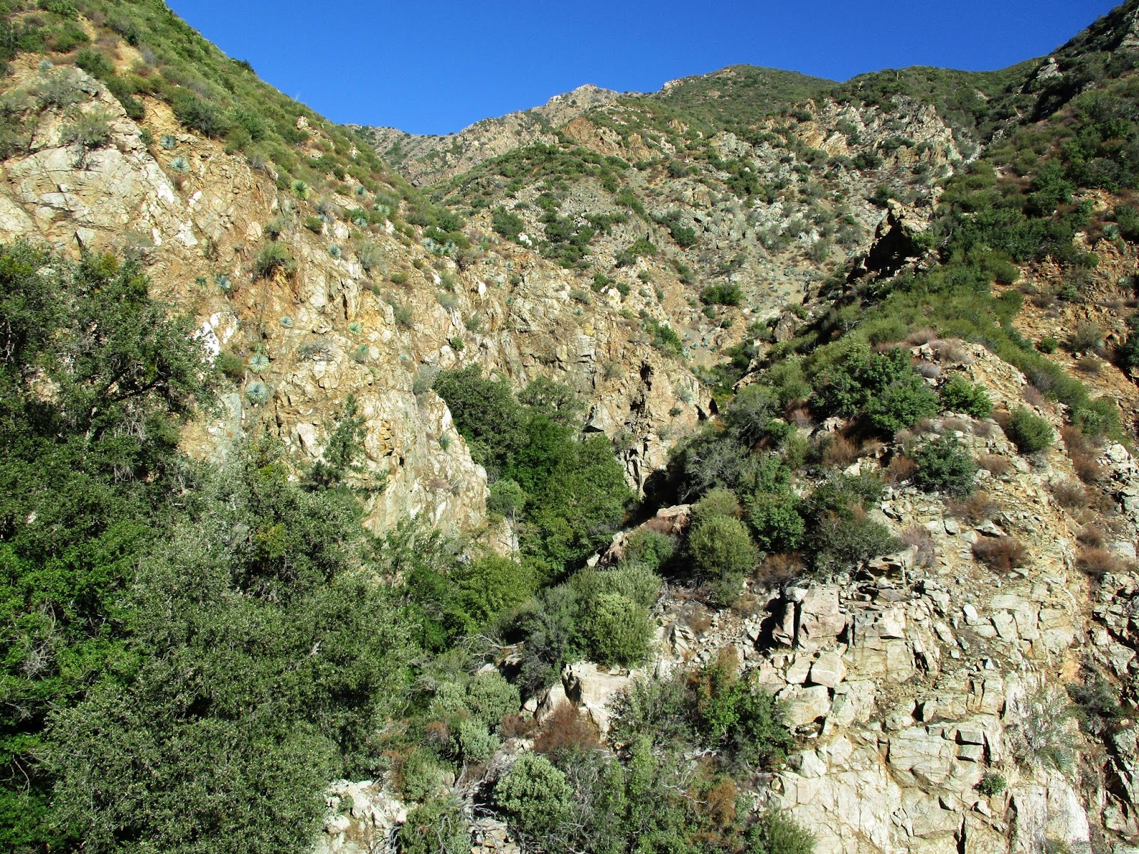 Looking up from the turnaround point.
 Heading out
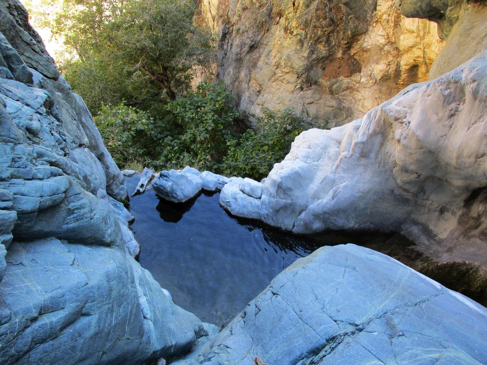 Top of Devil Gulch Falls, the rock in the center is supposed to be the rap anchor
The descent was as slow as the ascent and it took us over an hour to reach two-tiered Devil Gulch Falls, 15' for the upper tier and 60' for the lower. Dima recalled a fixed rope bypass nearby, but we couldn't find it. We backtracked to the first steep gully that looked climbable and started up. It was a mix of class 2/3 dirt and crumbling rock with some cactus and dead shrubs to keep it interesting. Half way up, Dima scouted right for the bypass with no luck. I continued left to reach the spine, following it over the top to get around Devil Gulch Falls. We descended more or less straight down on animal trails.
On the way back, we searched the wall for the Horseshoe Annex and found a cairn, steel cable, and use trail up to the adit. At the entrance, we found sheep bones and continued slowly, announcing our presence with "Hello, Mr. Mountain Lion". Hearing no reply, we proceeded deeper into the main tunnel. We passed other tunnels branching left and right, stopping more than 100' deep into the main tunnel where we had to crawl to continue. Overall, the main tunnel of the mine was in good shape. Based on this 9.5 hour trip, I would guess a full ascent of the gulch over Rattlesnake would take me at least 15 hours, IF there were bypasses available for whatever lurks above. The upper half of the gulch remains a mystery.
 Escape gully
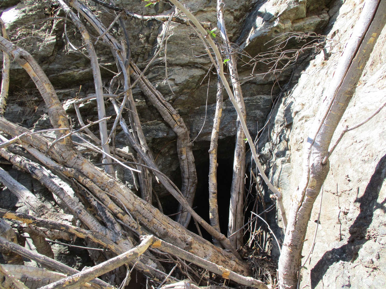 Horseshoe Annex Mine
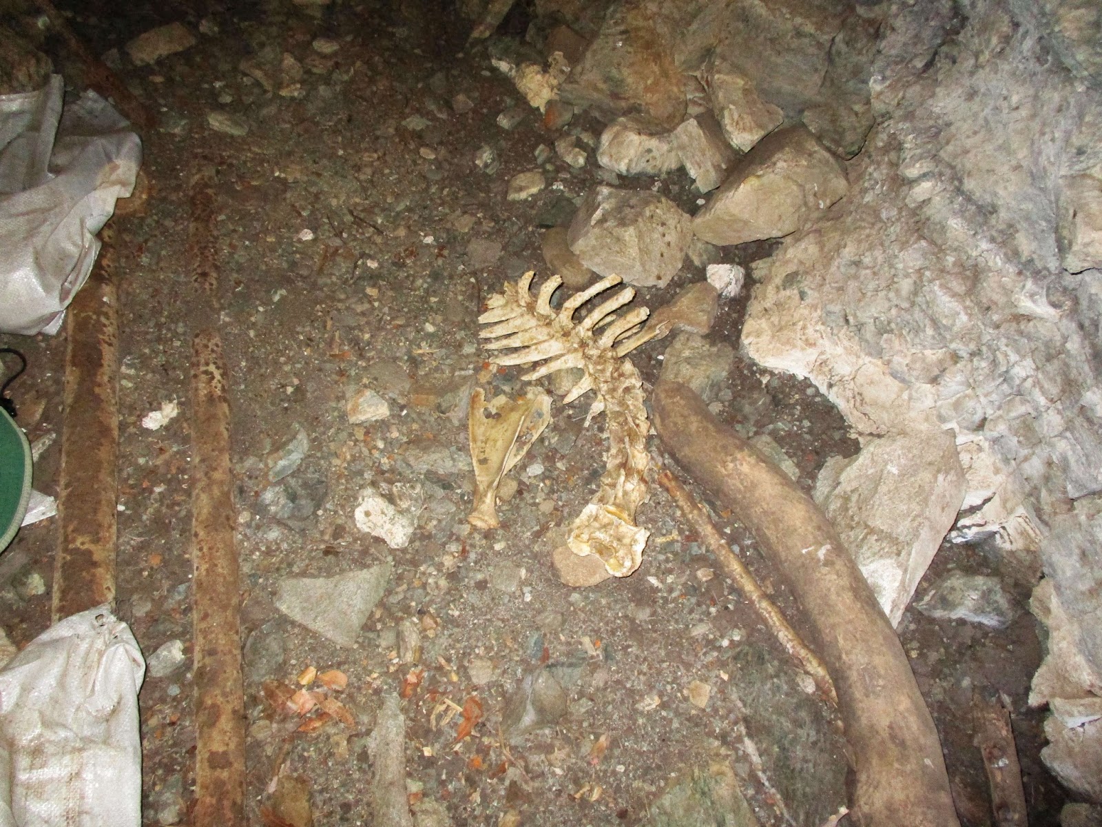 Sheep bones, the Hermit took the head
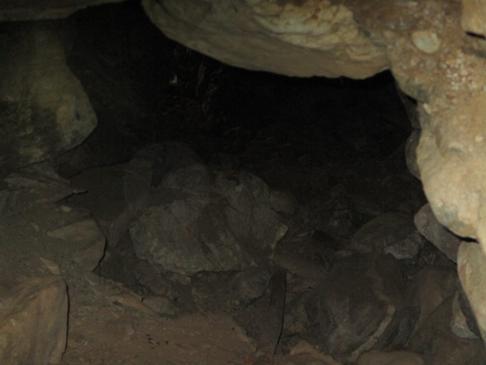 Heading into the mine, we only followed the main branch


