Mt. McKinley and Iron #2 Loop

TRs for the San Gabriel Mountains.
Post Reply
User avatar
Sean
Cucamonga
Posts: 3929
Joined: Wed Jul 27, 2011 12:32 pm

Post by Sean »

There are only a handful of San Gabriel peaks I haven't visited. Yesterday Cecelia and I crossed off two more from our to-do lists: Mt. McKinley and Iron Mtn. #2. But it wasn't easy.

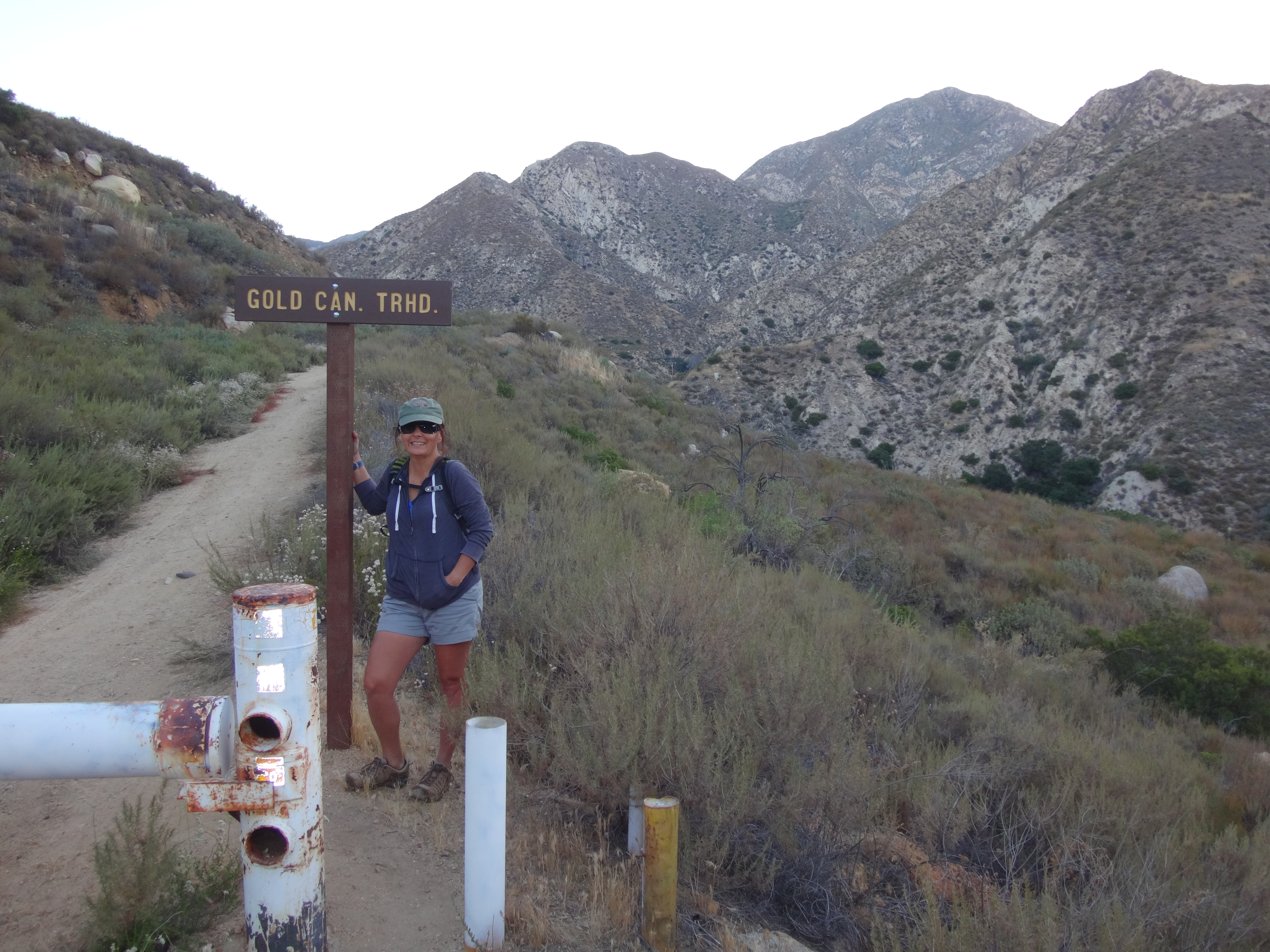
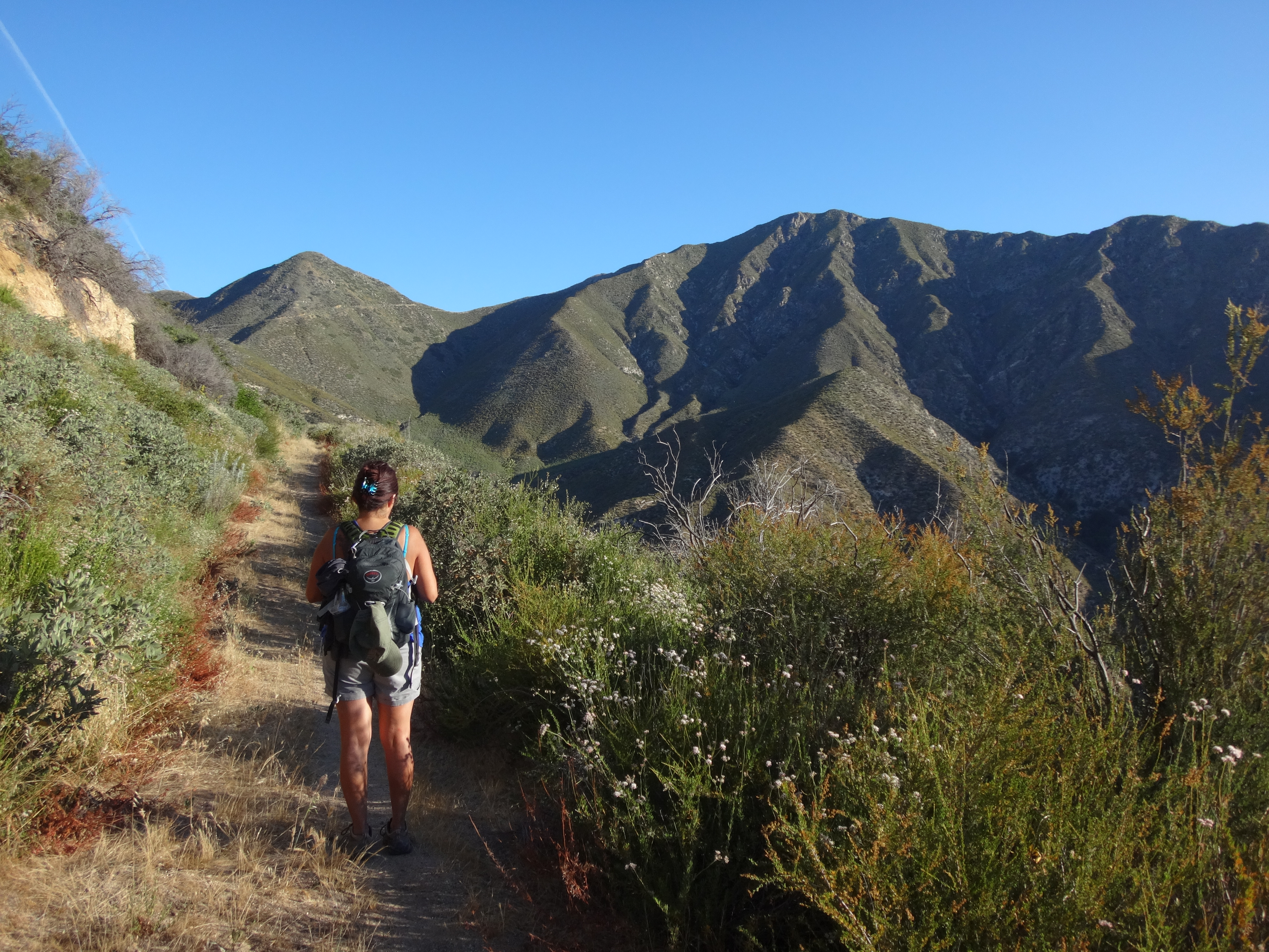
I knew it was going to be a hot day, so I woke up Cecelia at 3:45am to get an early start. Out the door by 4:45am, we hit the trail around 5:45am. The gate for Gold/Trail Canyons was still locked. So we parked at a turnout along the highway and hoofed it up to the Gold Canyon fire road (3N29).

Image

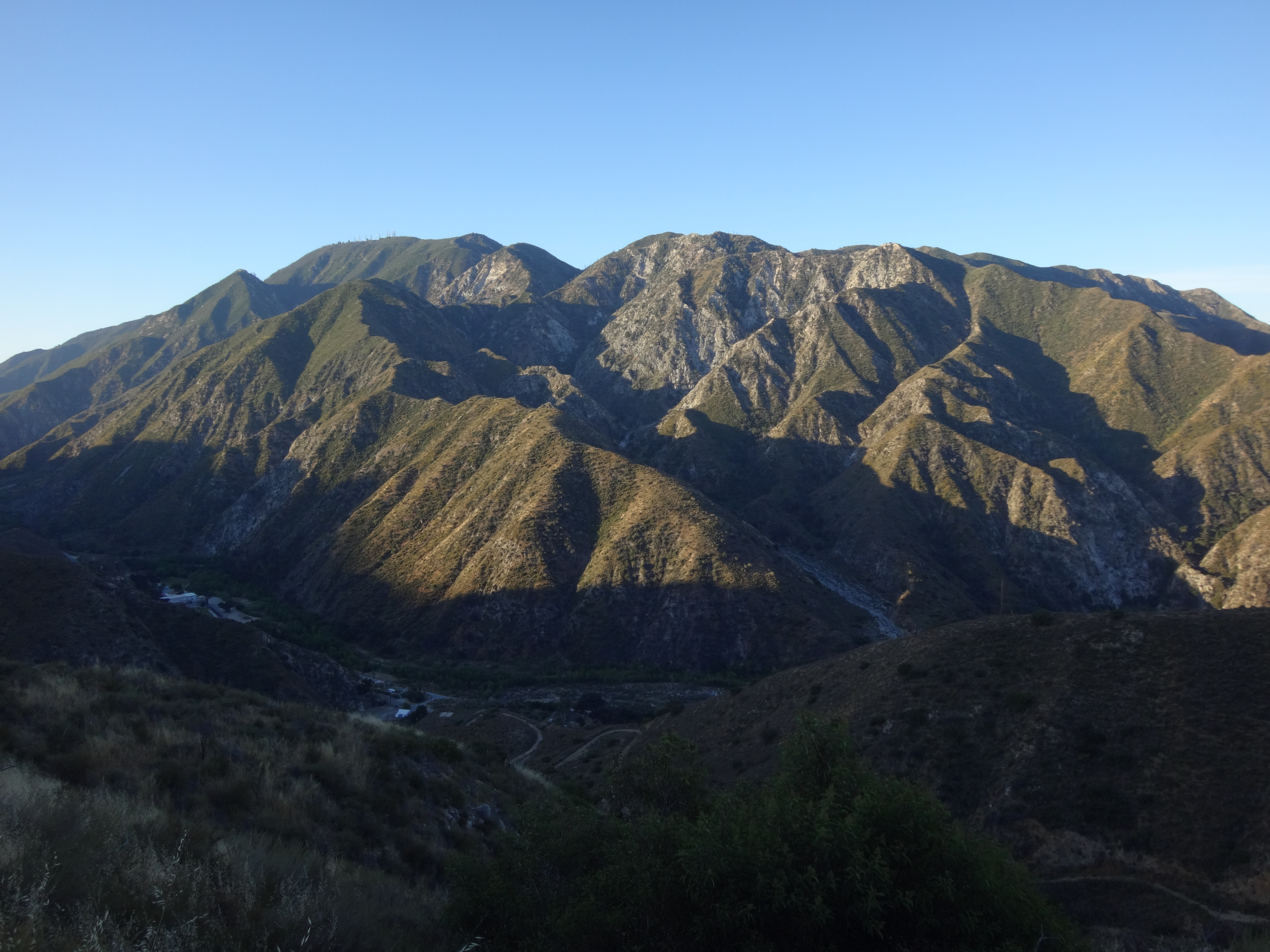
A little ways up the trail we had a nice, sunrise view of Mt. Lukens.

Image

The fire road is in okay condition for walking. Hardly any light brush. Someone had recently driven the road up to at least the Gold Cyn tank.

Image

It must have been a rather bumpy ride.

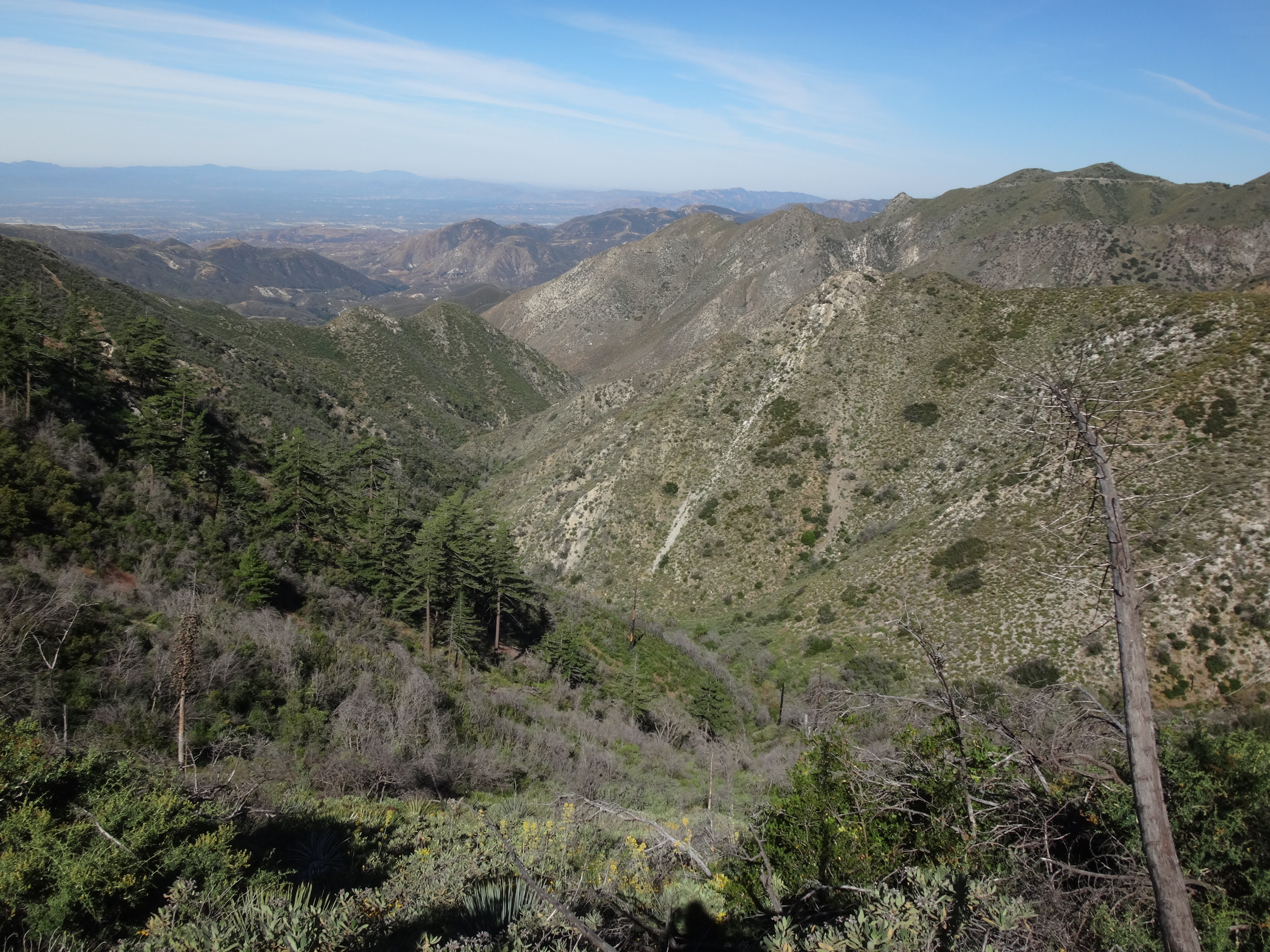
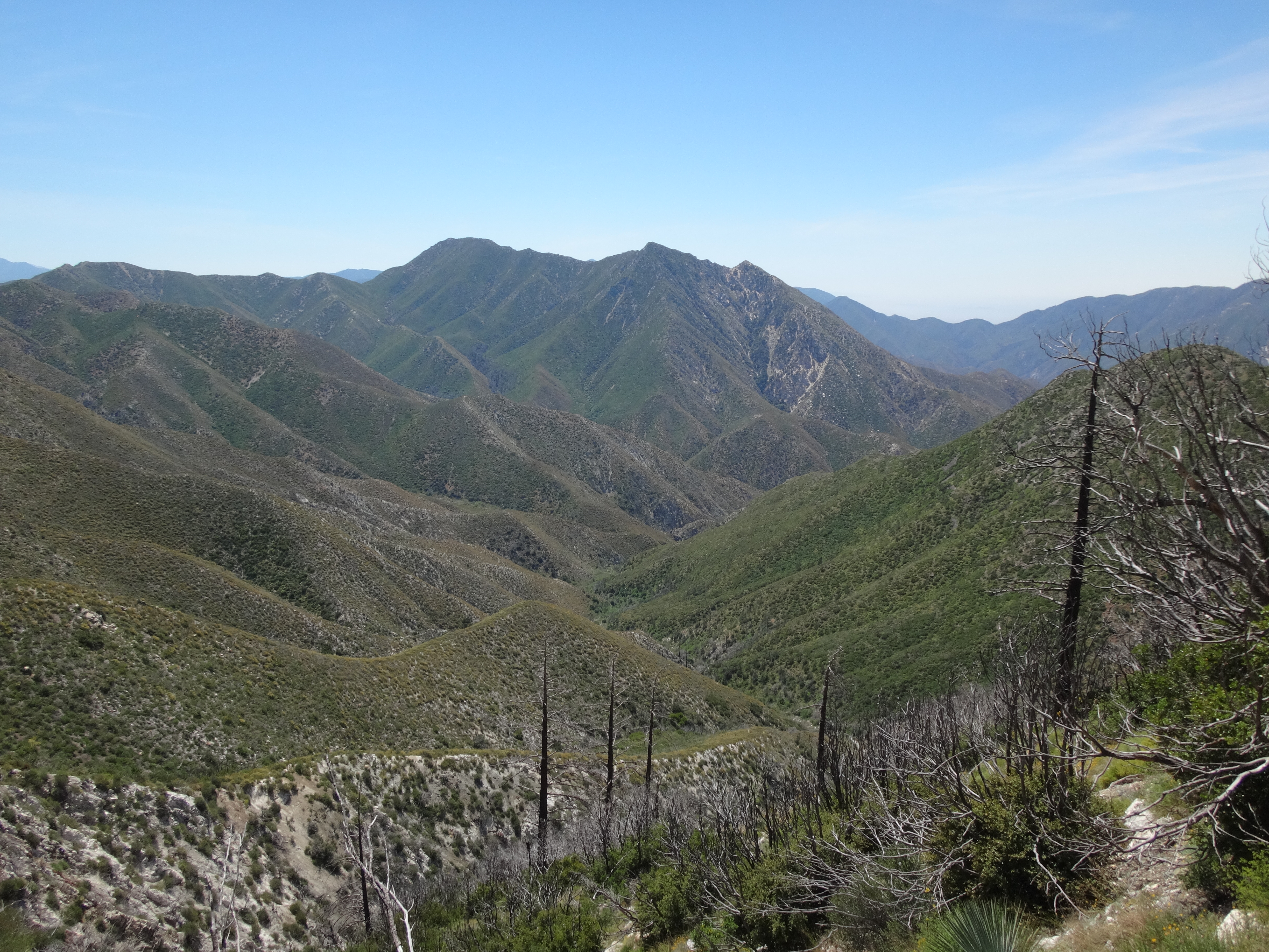
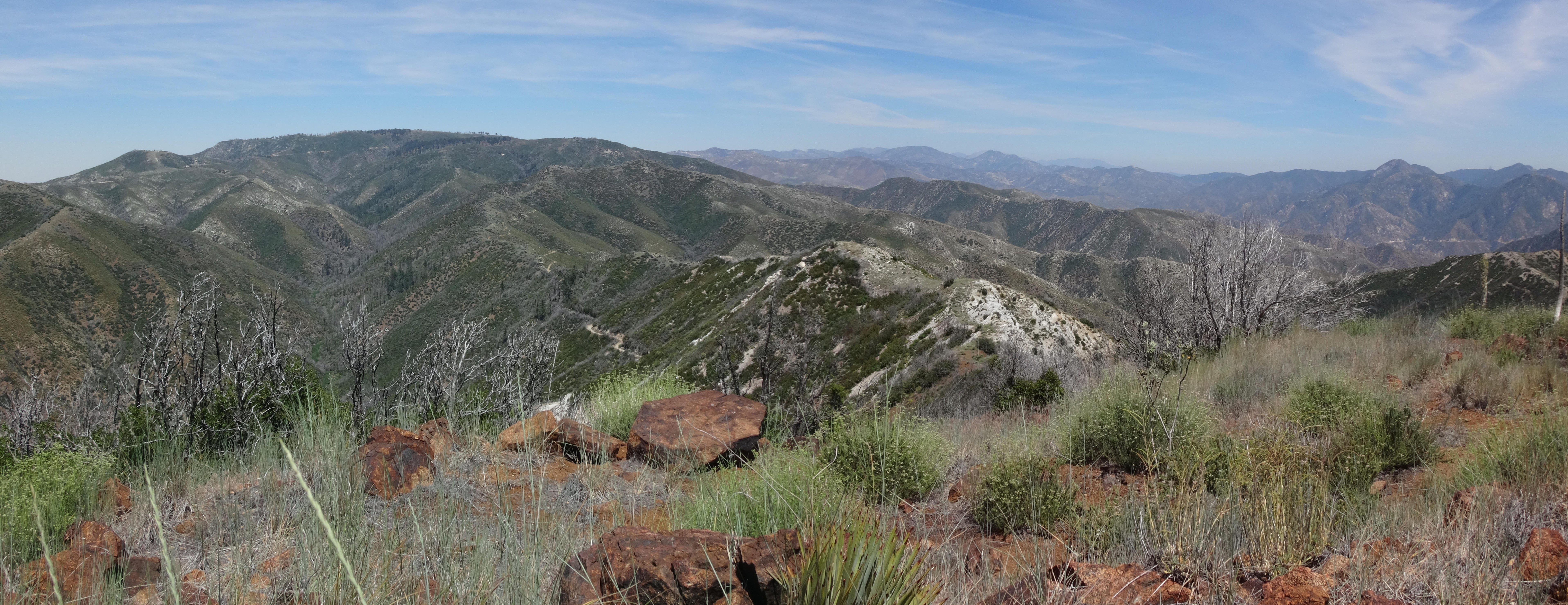
After this tank, the road becomes a little more overgrown, but still good for walking. The upper Yerba Buena Ridge came into view.

Image

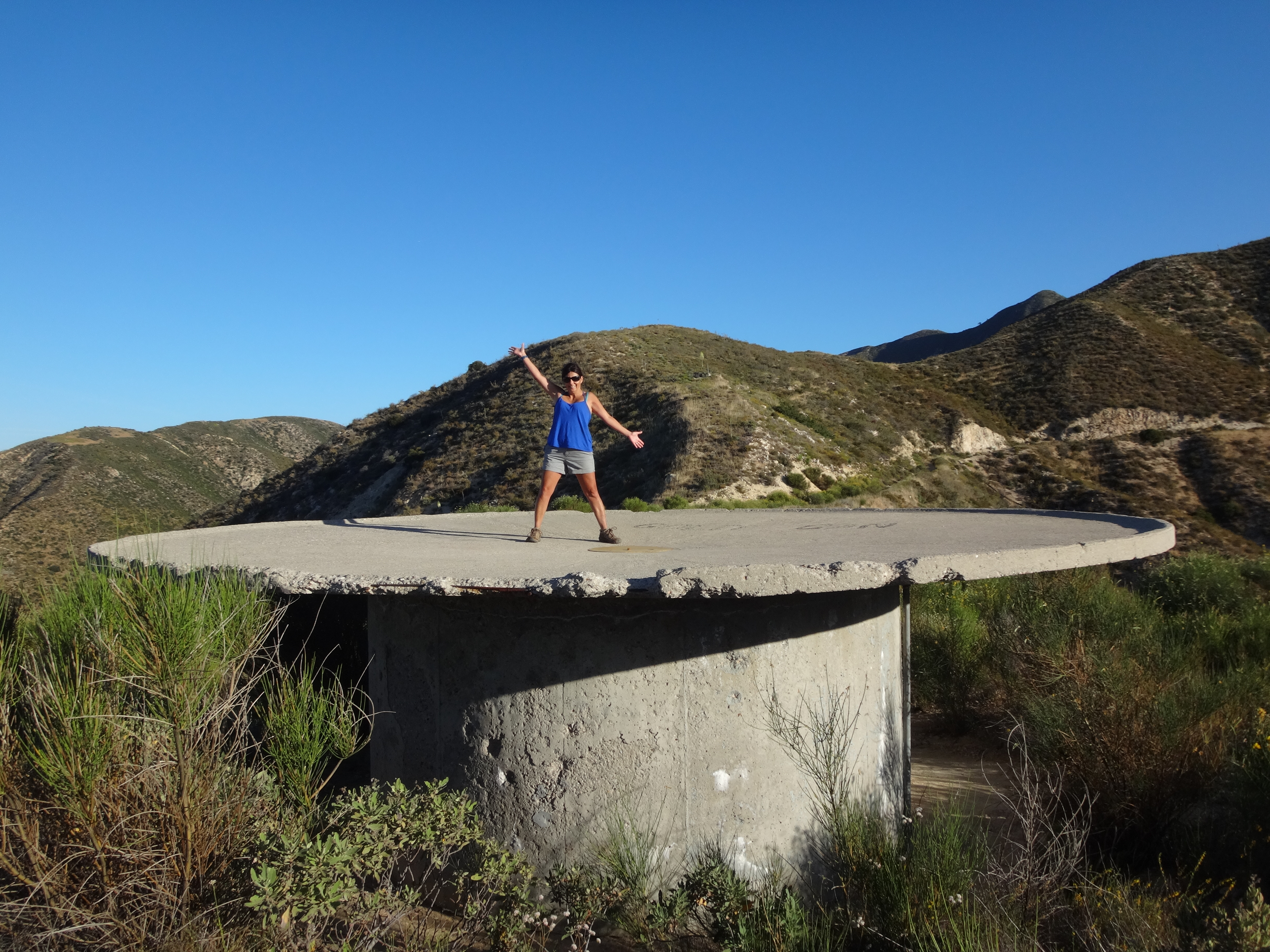
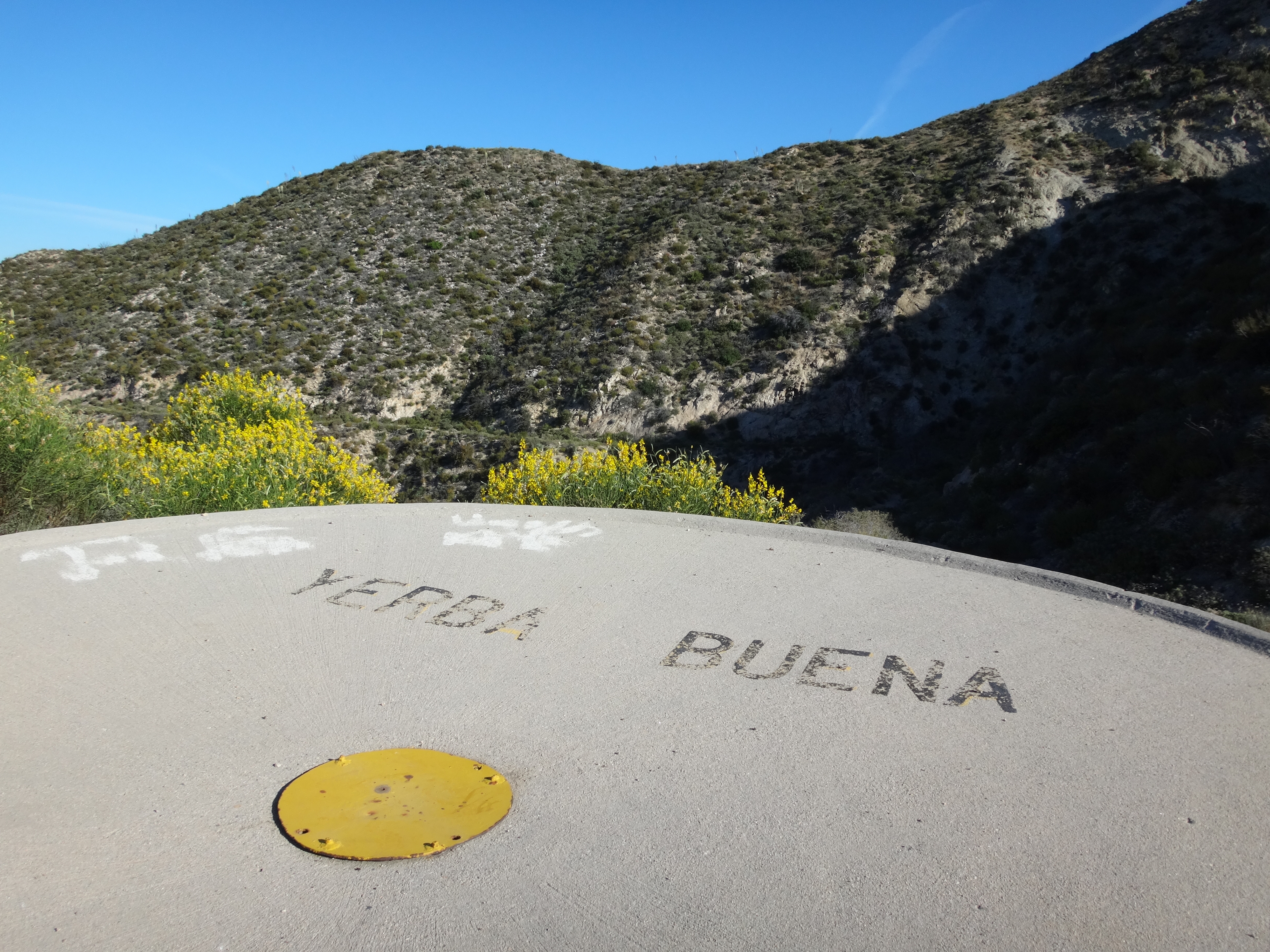
After a couple hours we stopped at Gold Creek Saddle to take a break on the Yerba Buena water tank.

Image

Here we left the main road and turned sharp right onto the trail up to Mt. McKinley.

Image

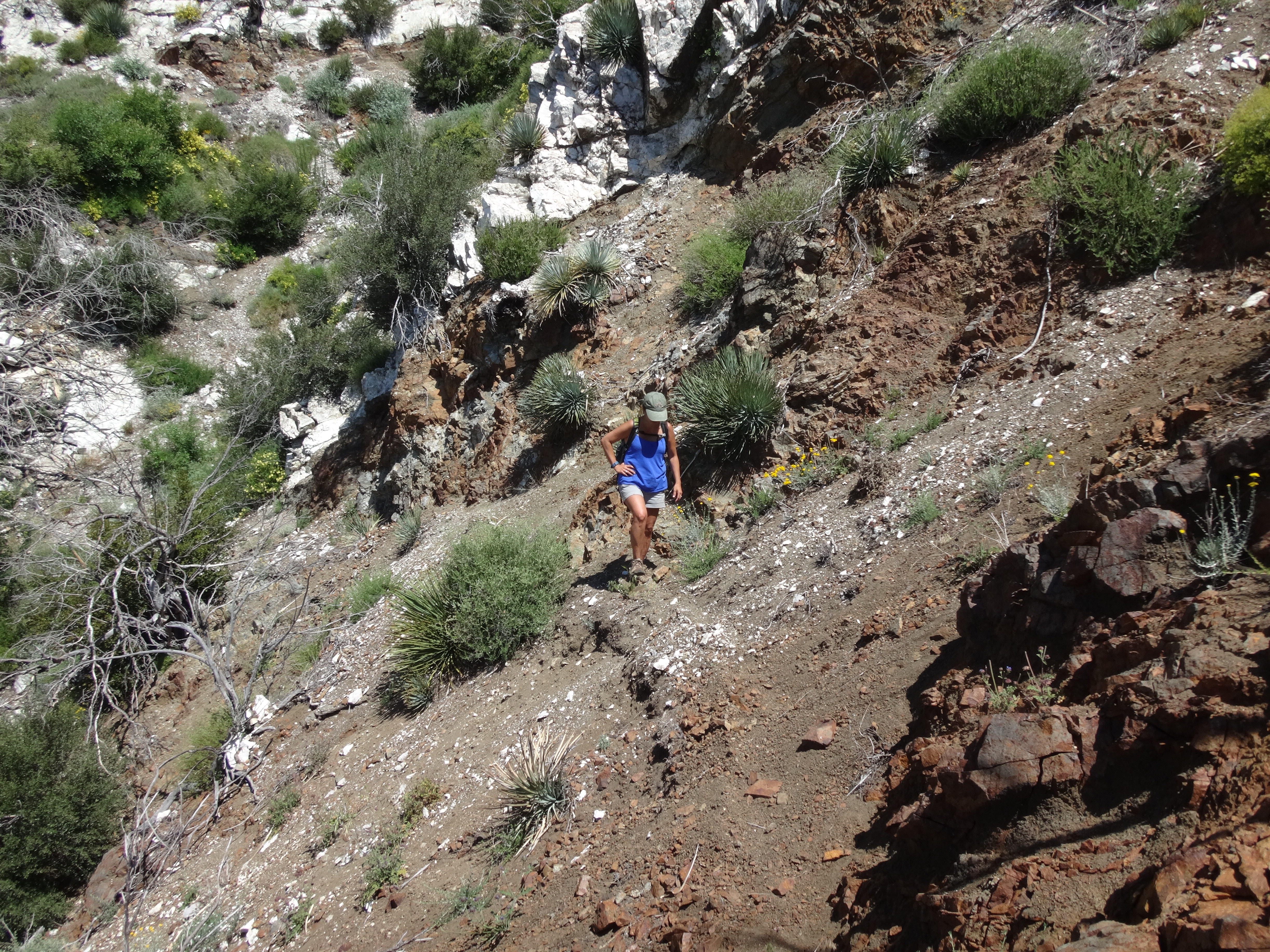
I don't think anyone has worked on this trail since the Station Fire. It was overgrown, rocky, and partly crumbling away.

Image

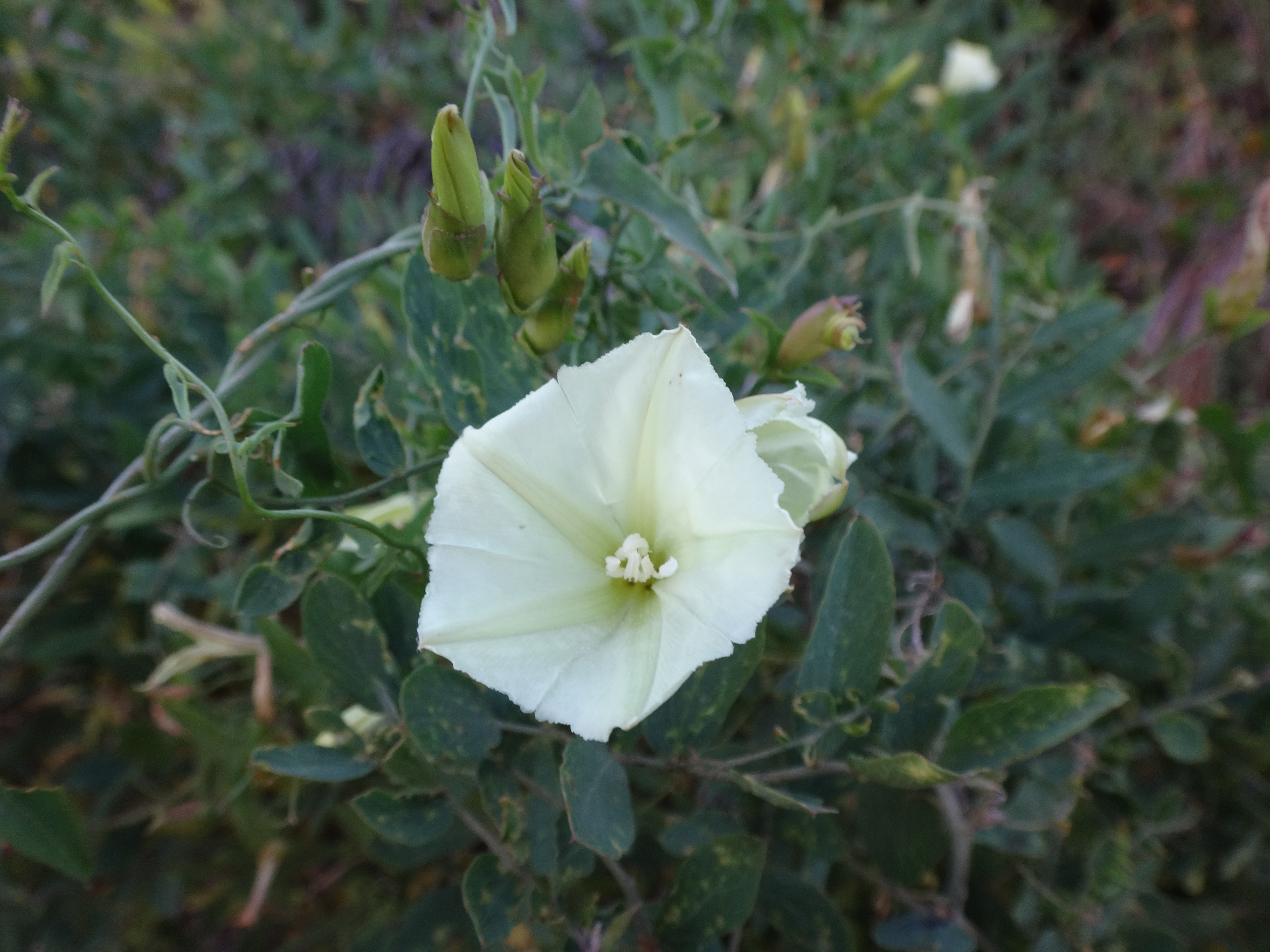
A couple highlights were the flowers and a view down Slaughter Canyon.

Image

Image

By 9:30am we had reached the McKinley saddle and were heading up to the summit.

Image

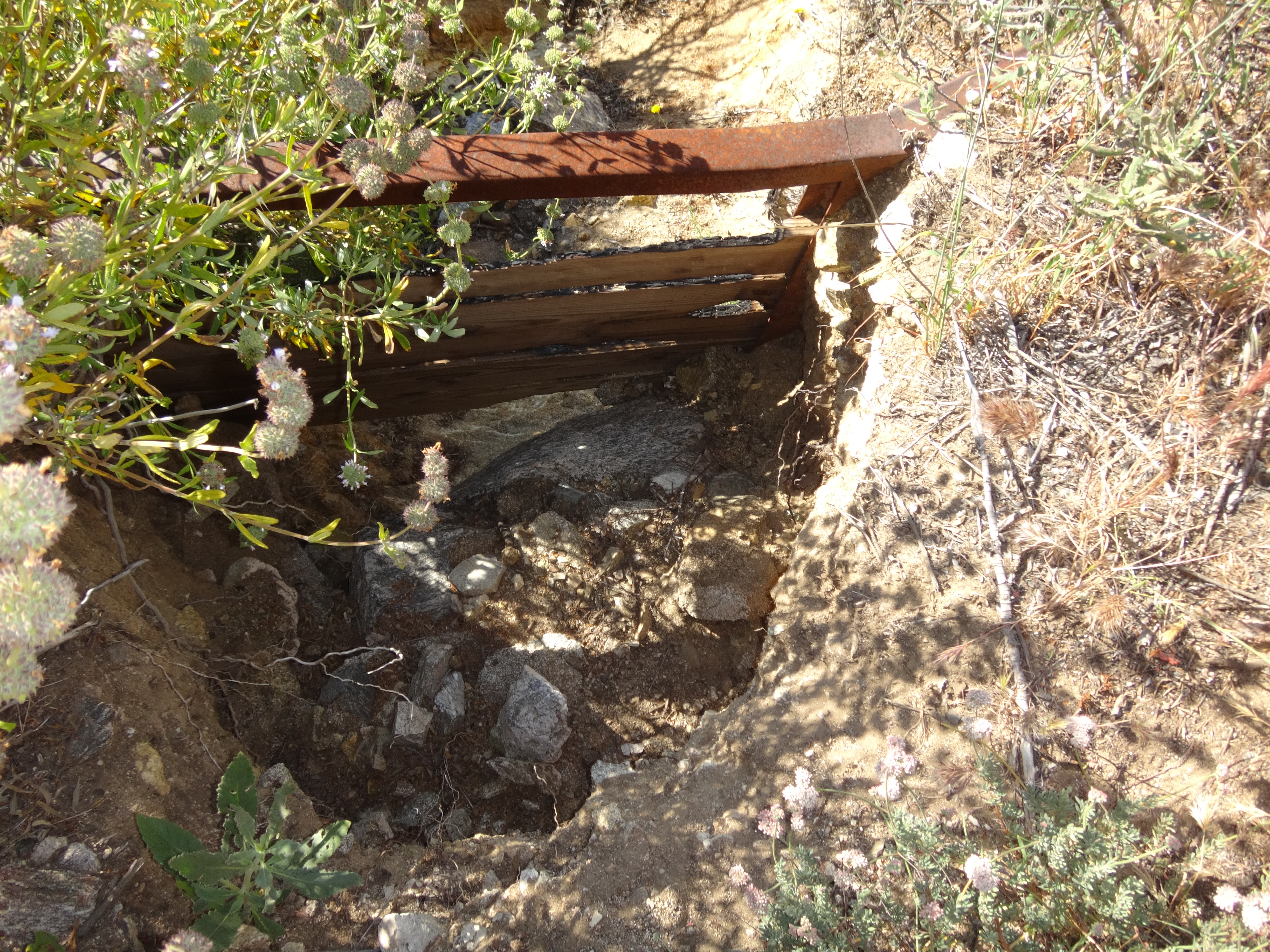
At the top we found a register and a post. The register had been soaked. The PVC cap doesn't seem to fit very snugly. I guess some rain got through the crack.

We snapped a few pictures and ate something before heading out.

Image

Image
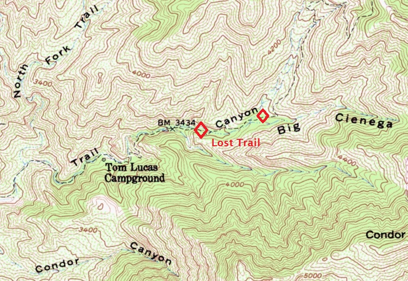
(North Fork of Trail Canyon)

Back at the saddle, the trail switches from the west side of Yerba Buena Ridge to the east side, as it climbs gently to the Mendenhall Ridge road.

Image

A rockslide area in this section has mostly wiped out or covered the trailbed. Though it's still possible, with care, to safely negotiate the use path that has been created.

Image

When we hit the Mendenhall road it was 11:30am and getting hot. Cecelia had some stomach issues, so we stopped a couple times along the road to lay down in patches of shade provided by some brush. We had to push up right into the brush to escape the overhead sun.

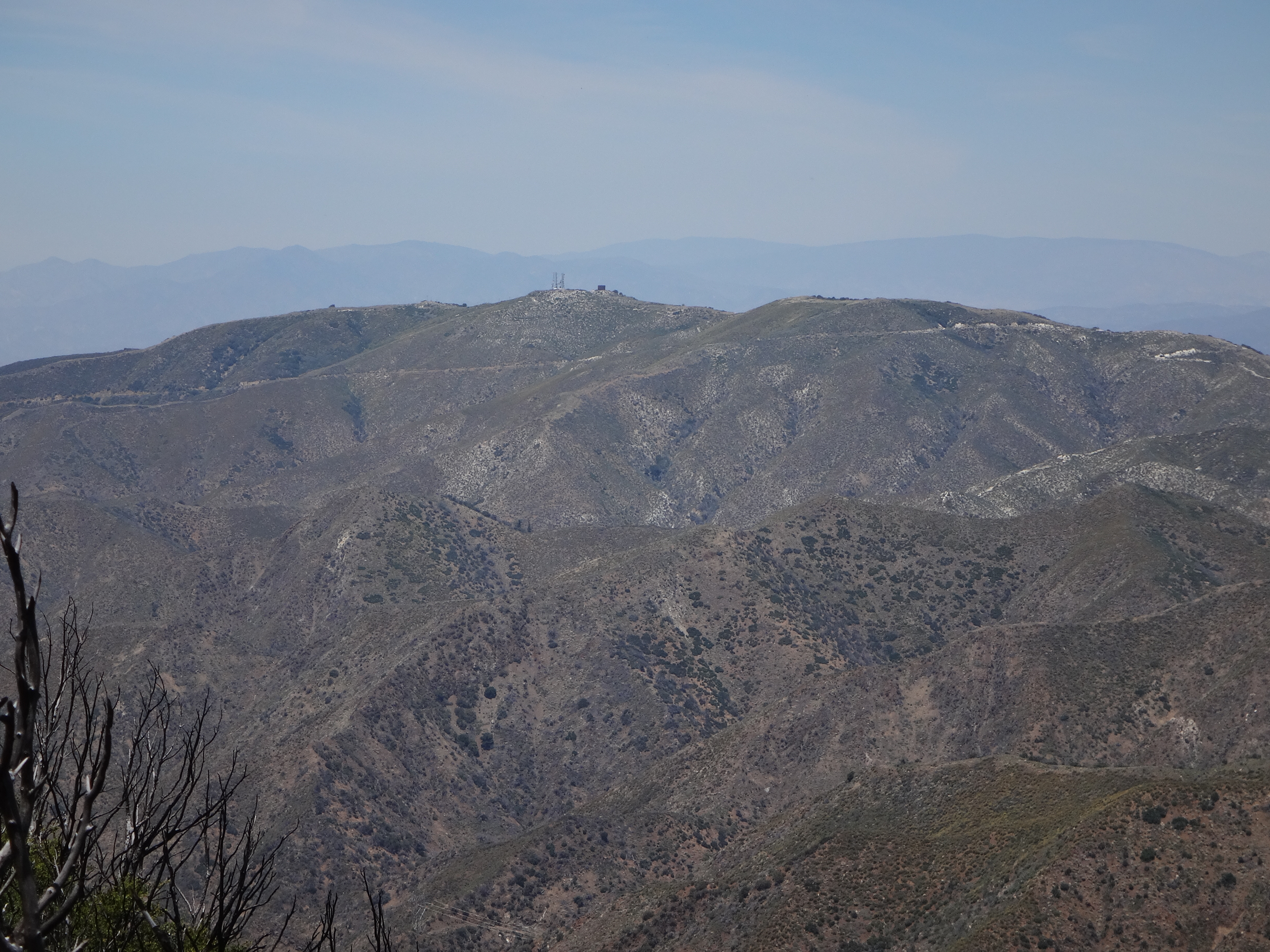
Meanwhile, I took a picture of Magic Mountain looming large over Pacoima Canyon.

Image

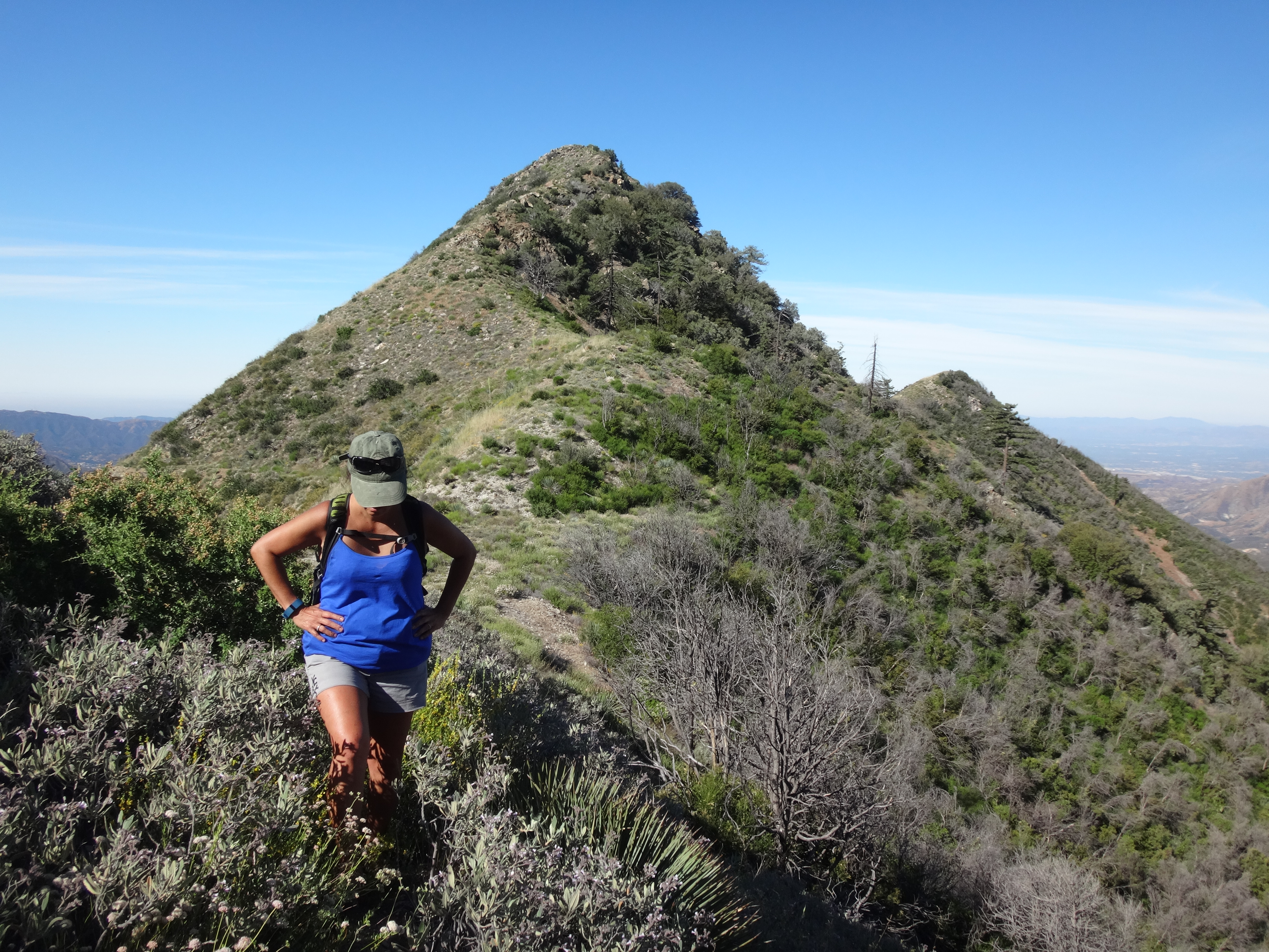
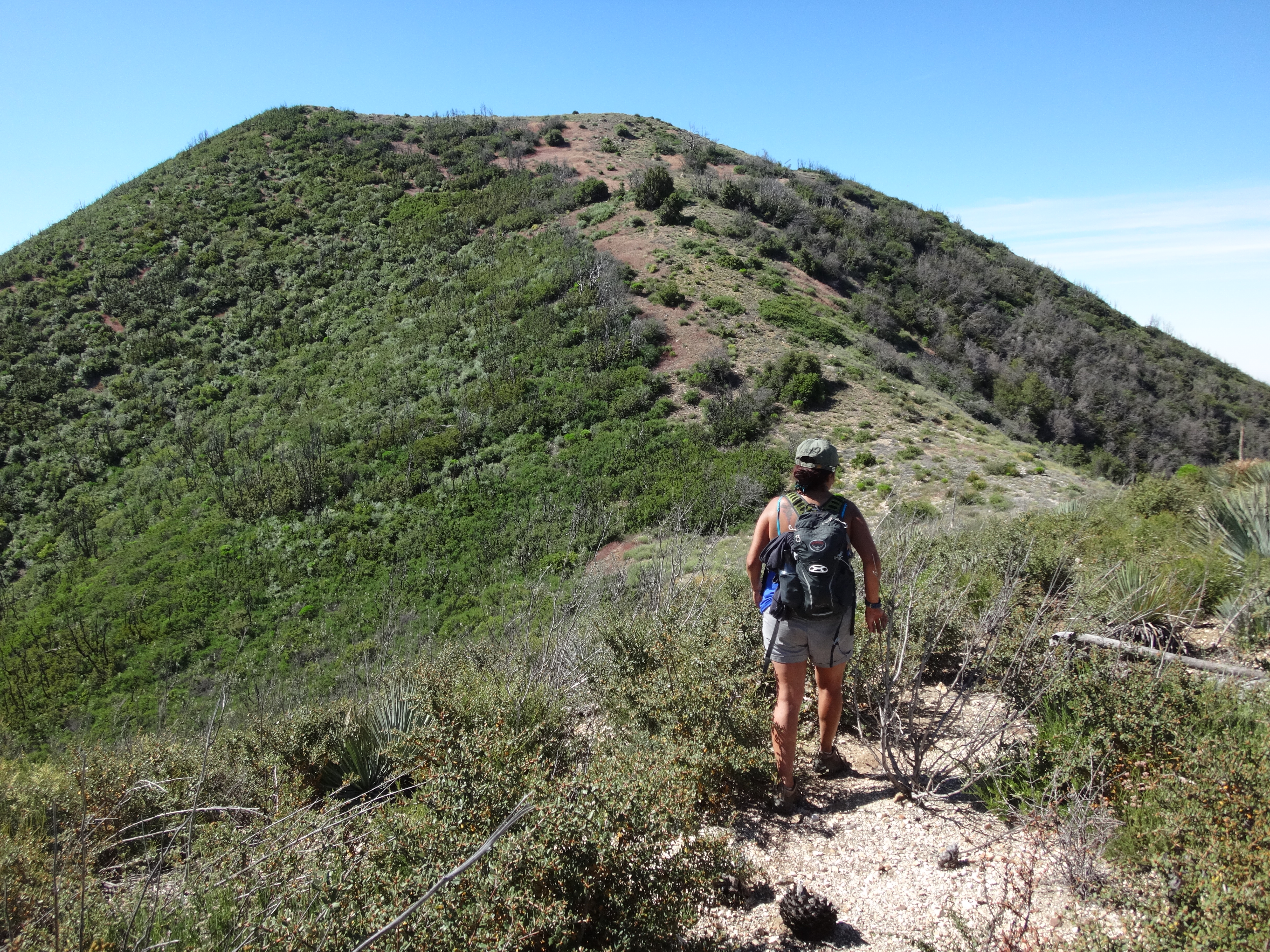
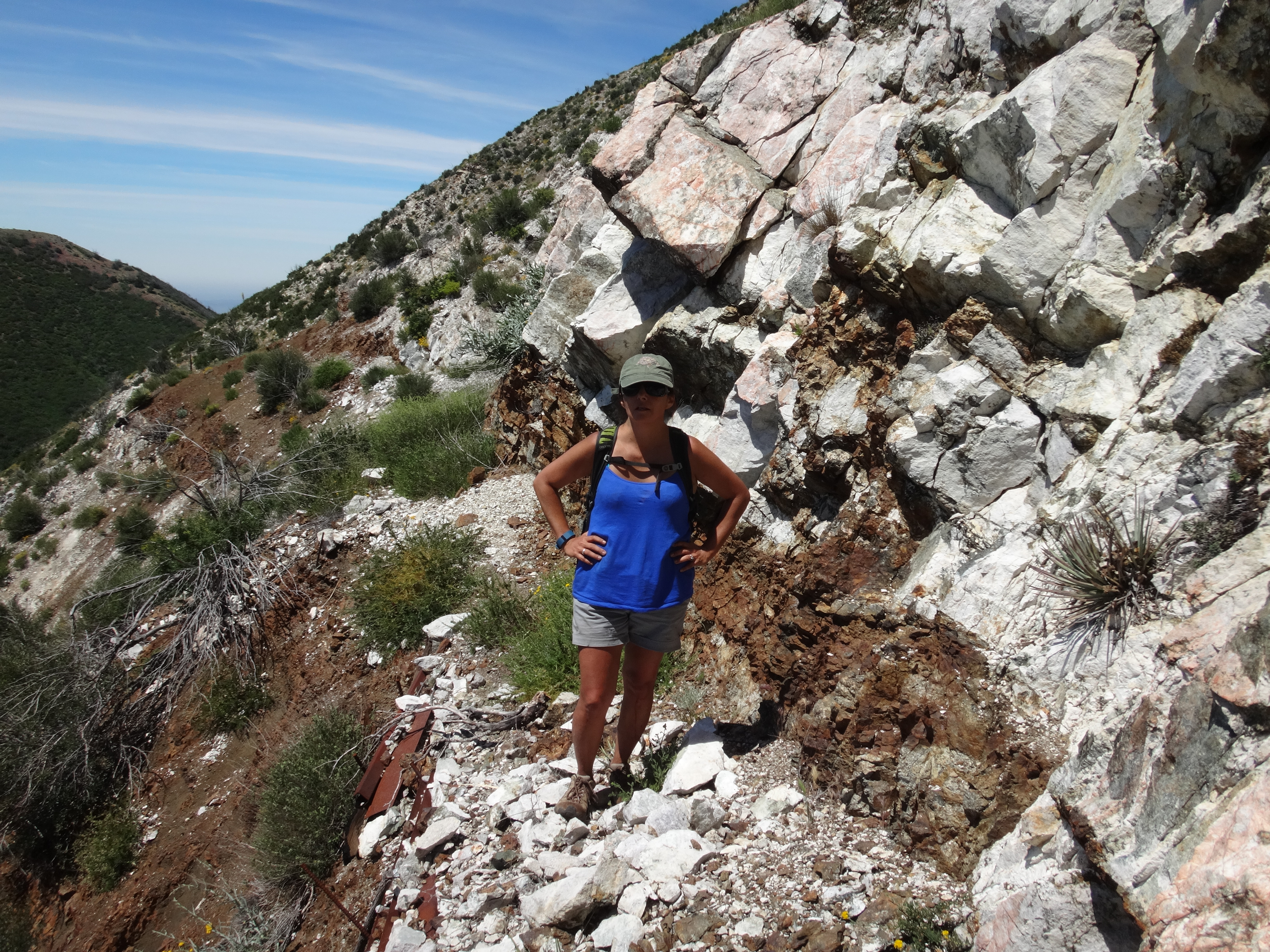
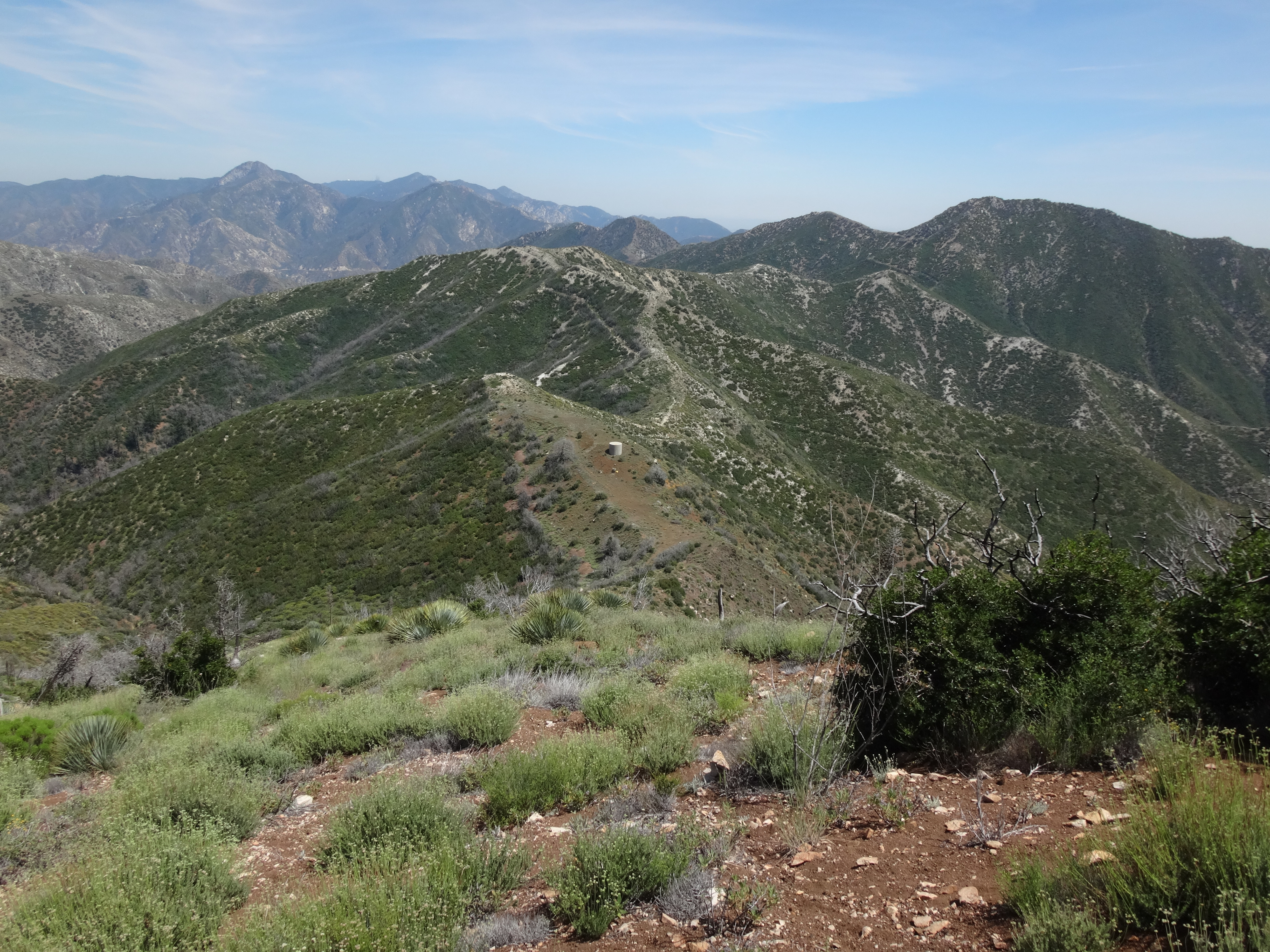
Eventually we found the west ridge path to Iron Mountain #2.

Image

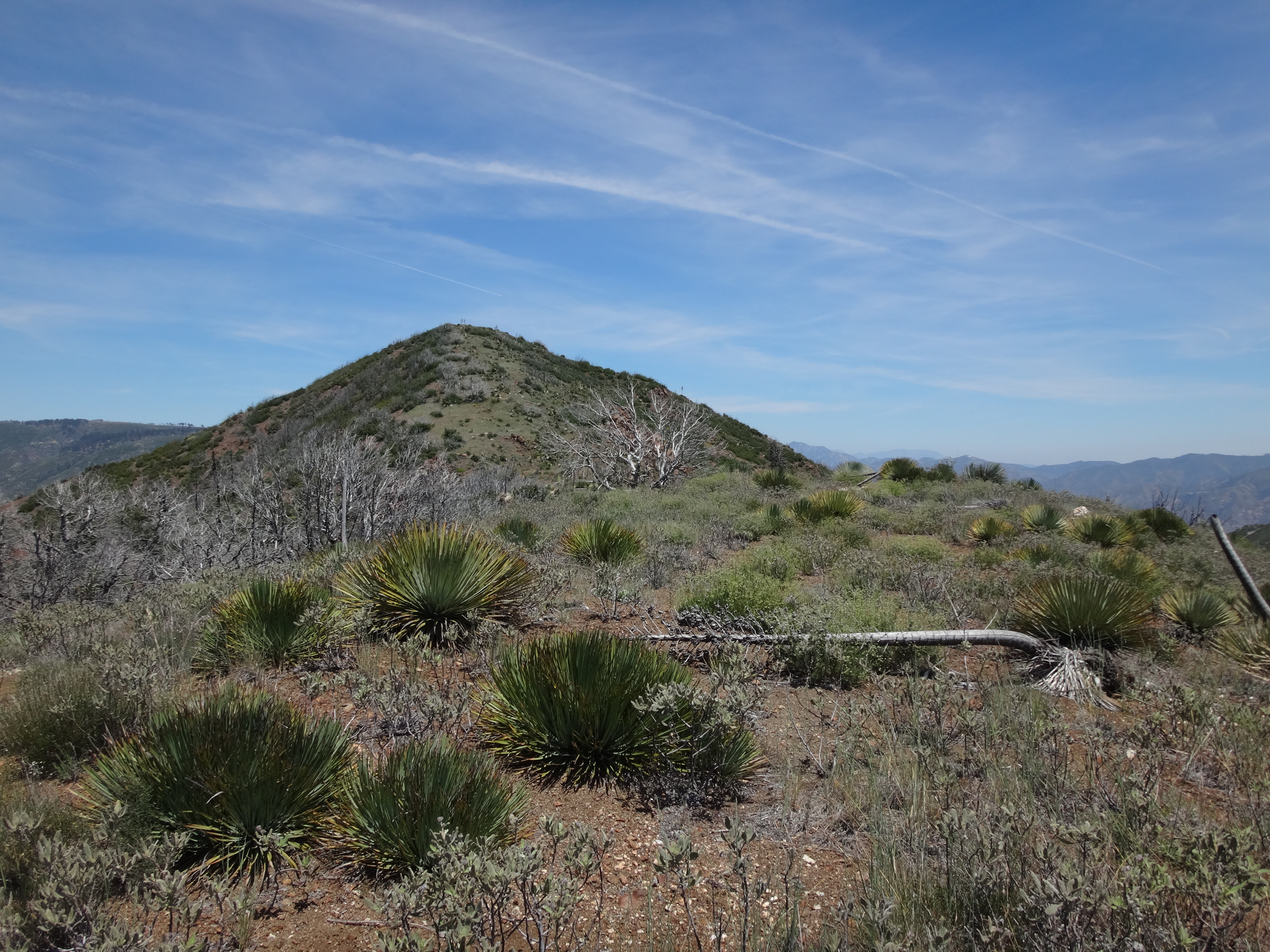
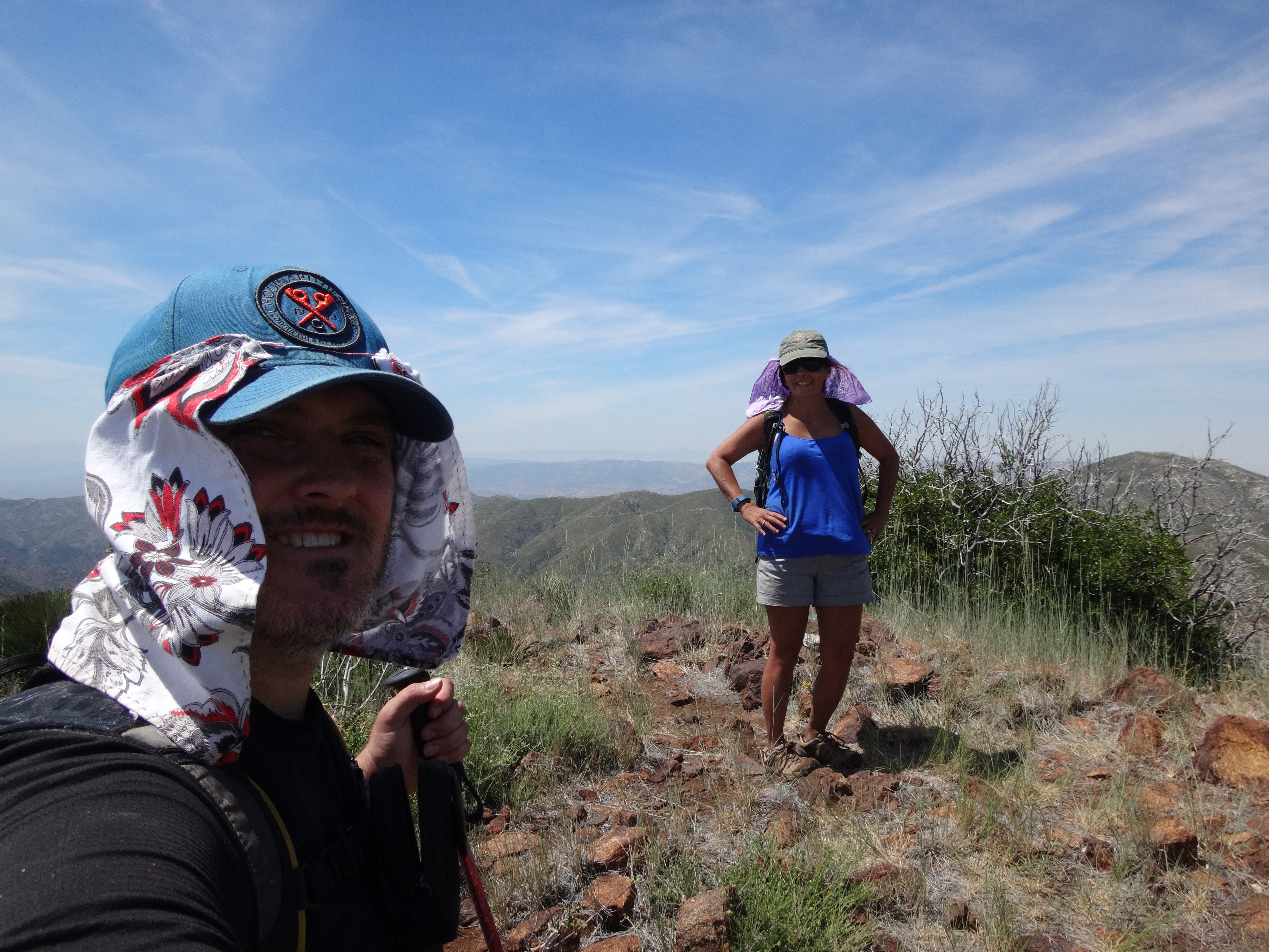
By now there was a mild breeze which felt good as we rested atop Not-So-Big Iron.

Image

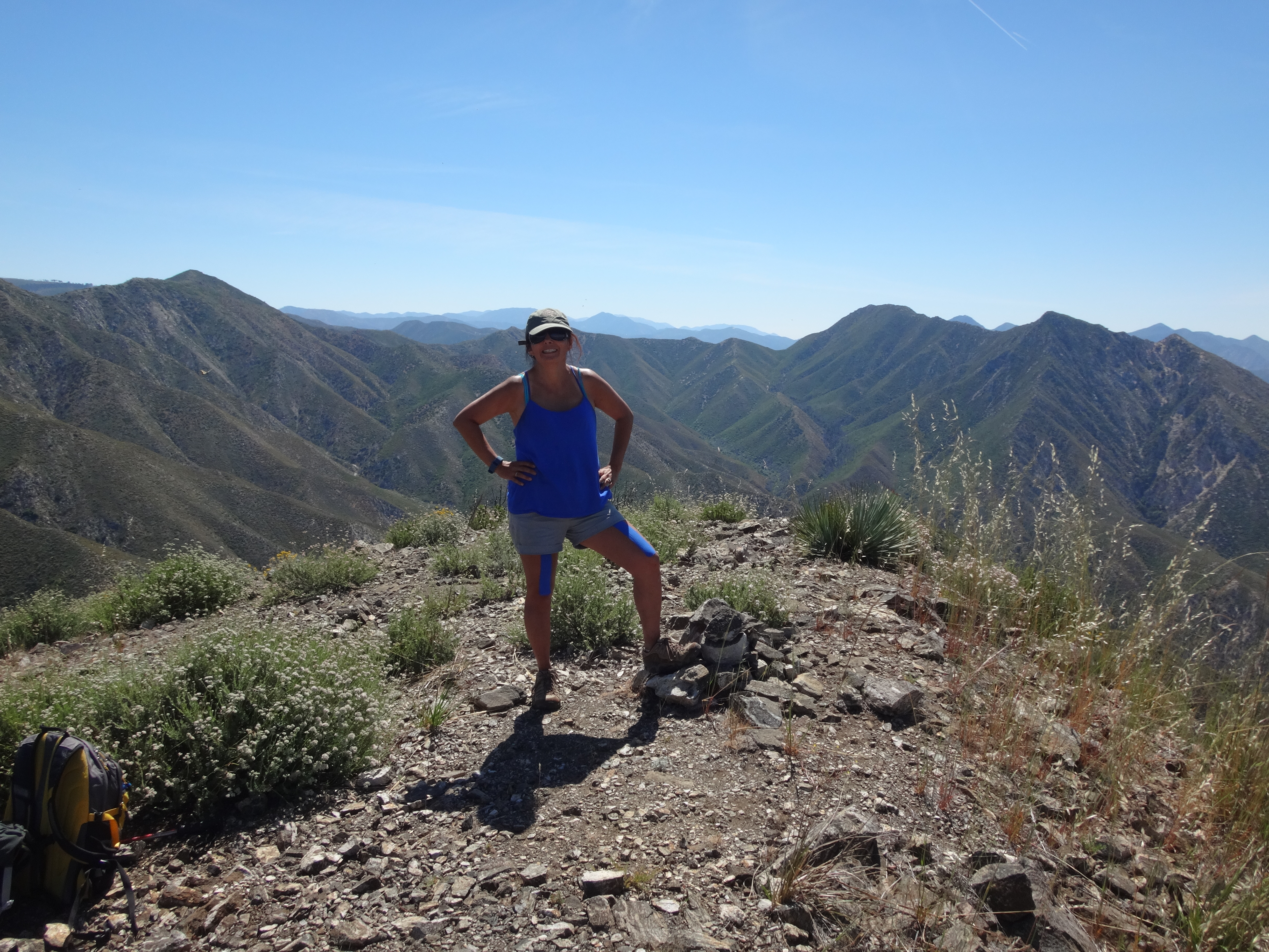
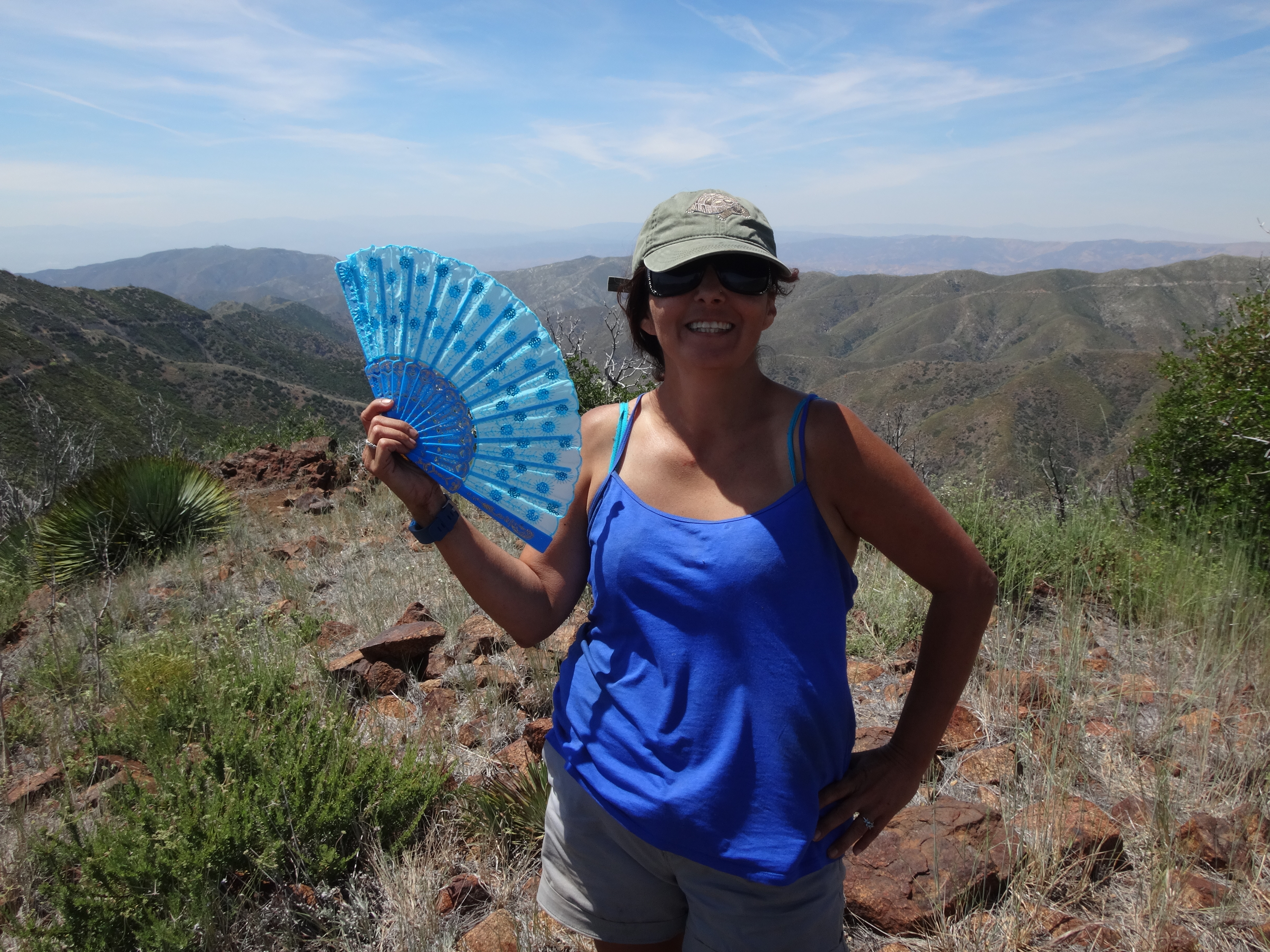
Cecelia posed with her Chinese fan that we bought at the Strawberry Festival in Garden Grove last weekend.

Image

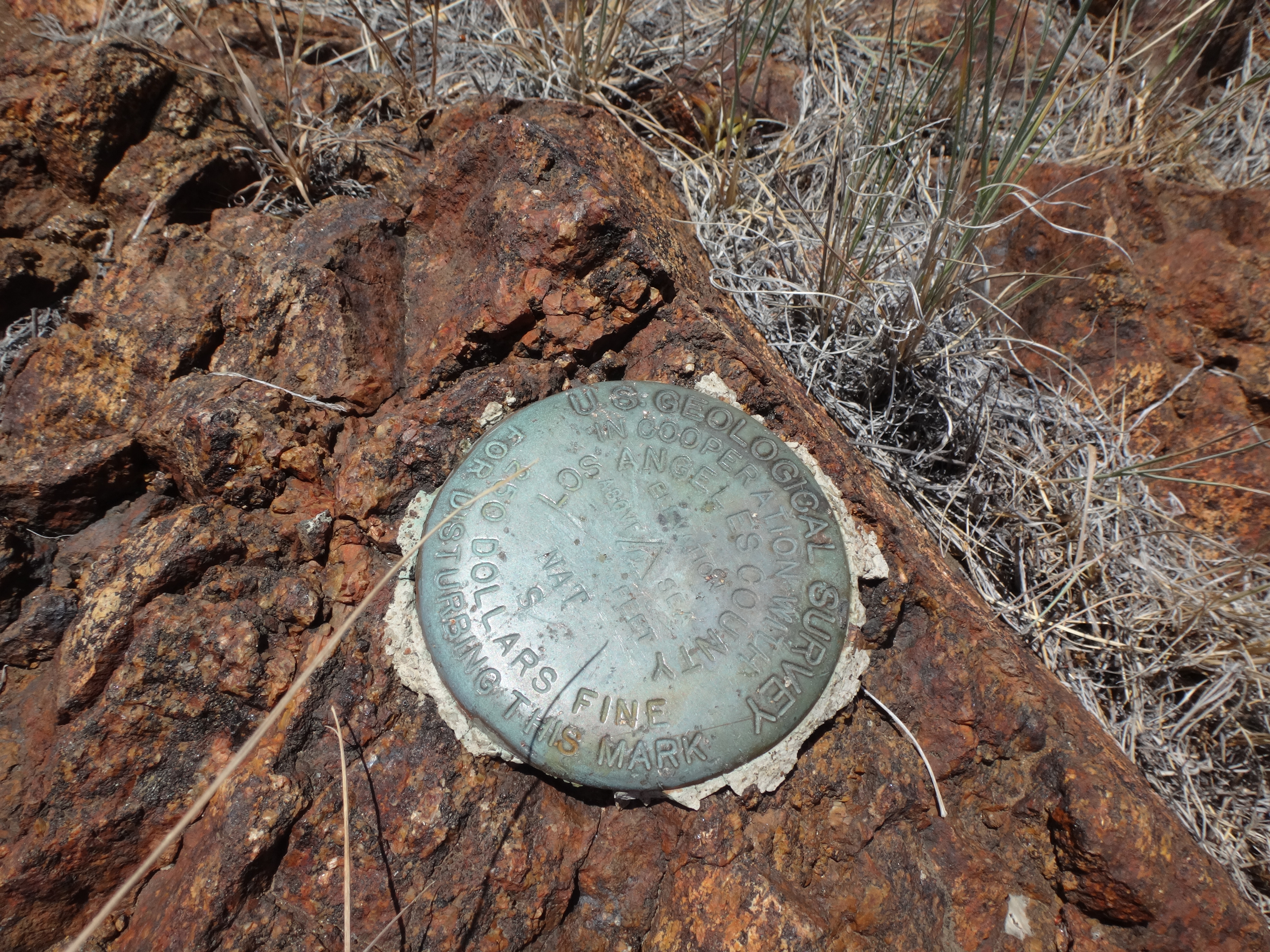
We also carefully inspected the Nat BM.

Image

And admired points to the east, including Mt. Gleason (also on my to-do list).

Image

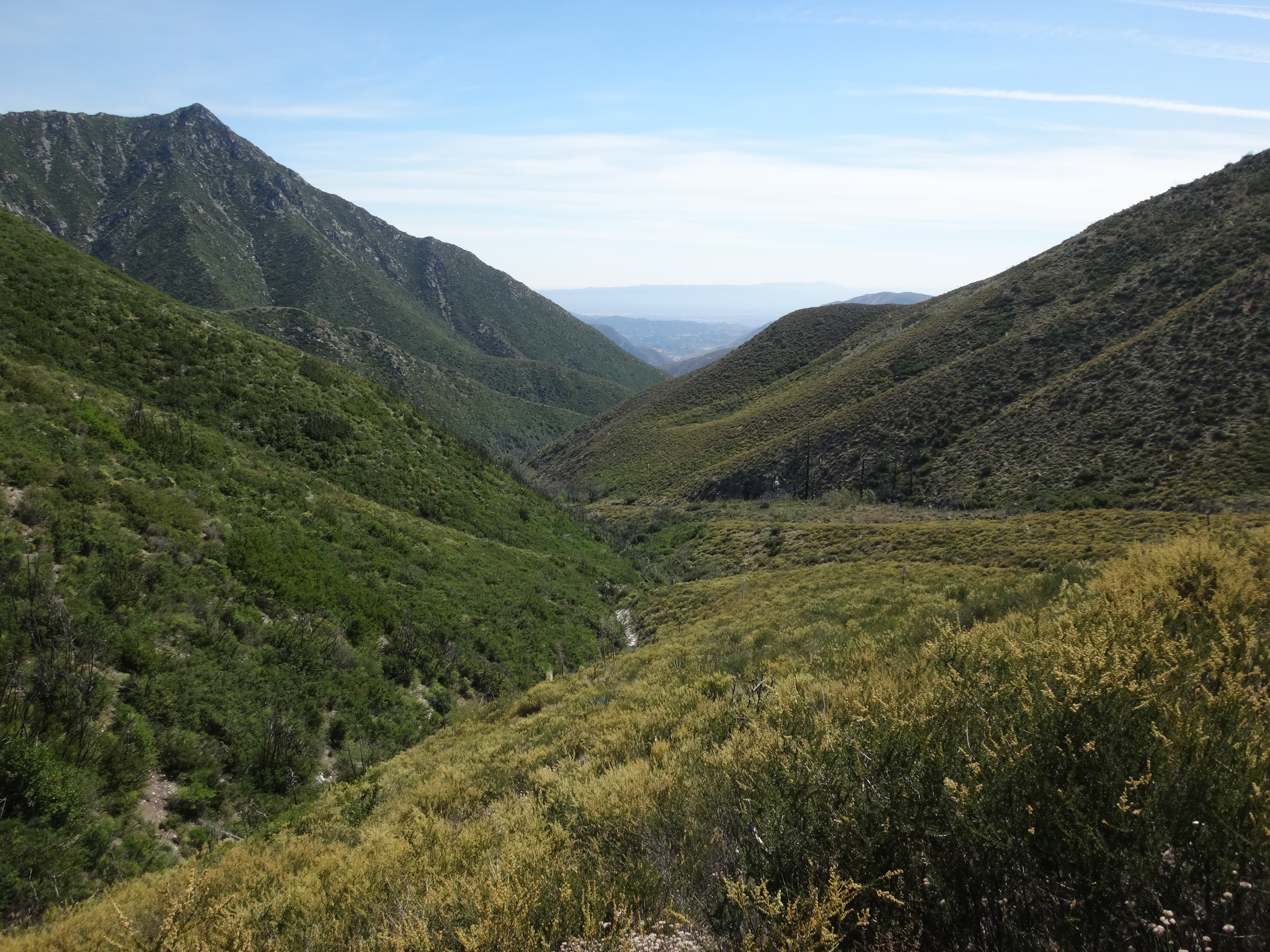
It was now 2:30pm. We headed down the east ridge and south slope to engage with the Trail Canyon Trail.

Image

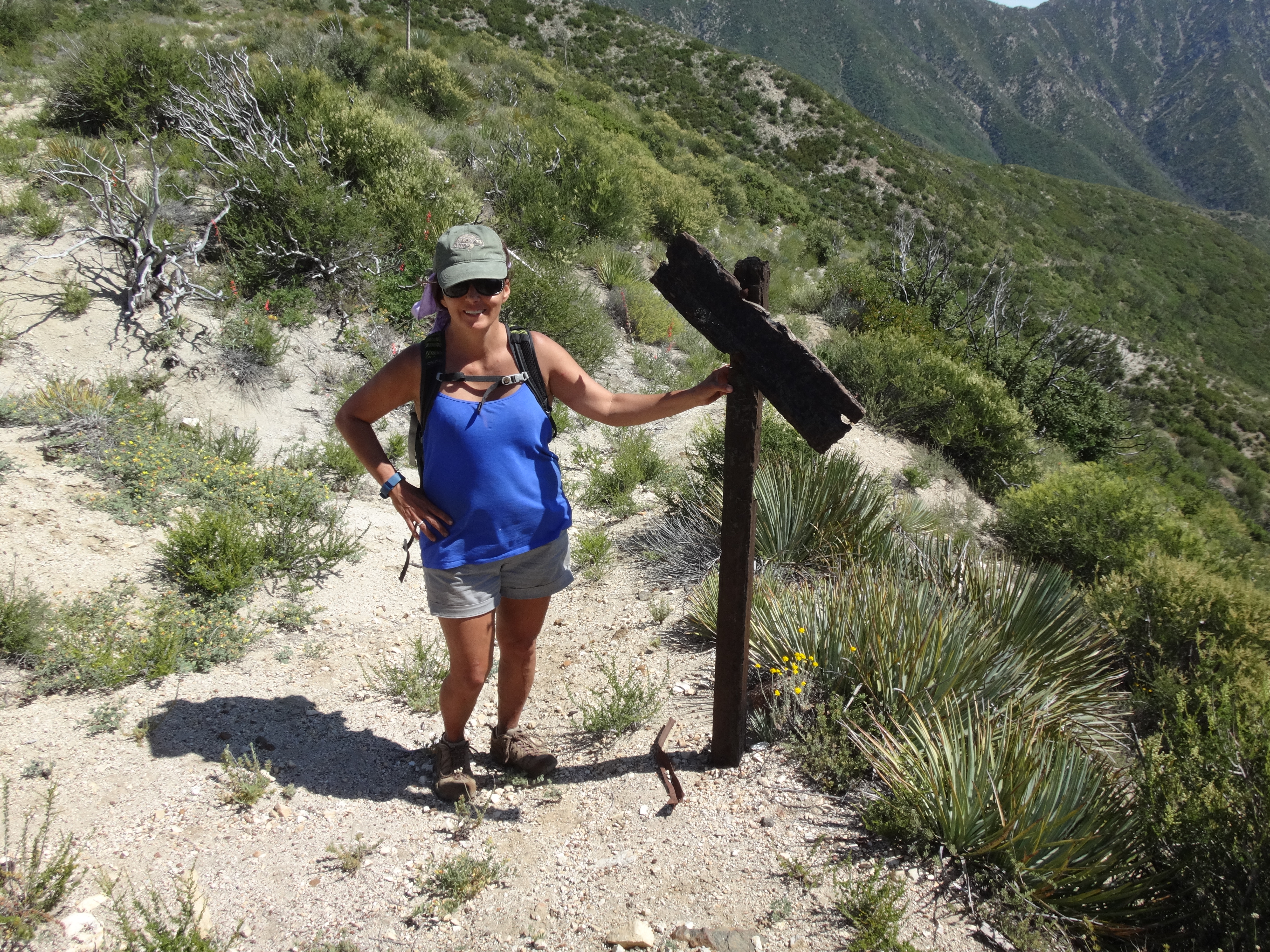
A burned trail sign still stood at the top of the route. Not an encouraging omen, but still we pressed on. We were almost out of water and hoped to refill down in the canyon.

Image

Immediately the path was overgrown. We pushed through light to medium brush, sometimes thorns, simply to get down to the convergence of the various headwall gullies.

Image

Somewhere down where the route is supposed to meet the Big Cienega branch, we started losing the trail and all hell broke loose.

Image

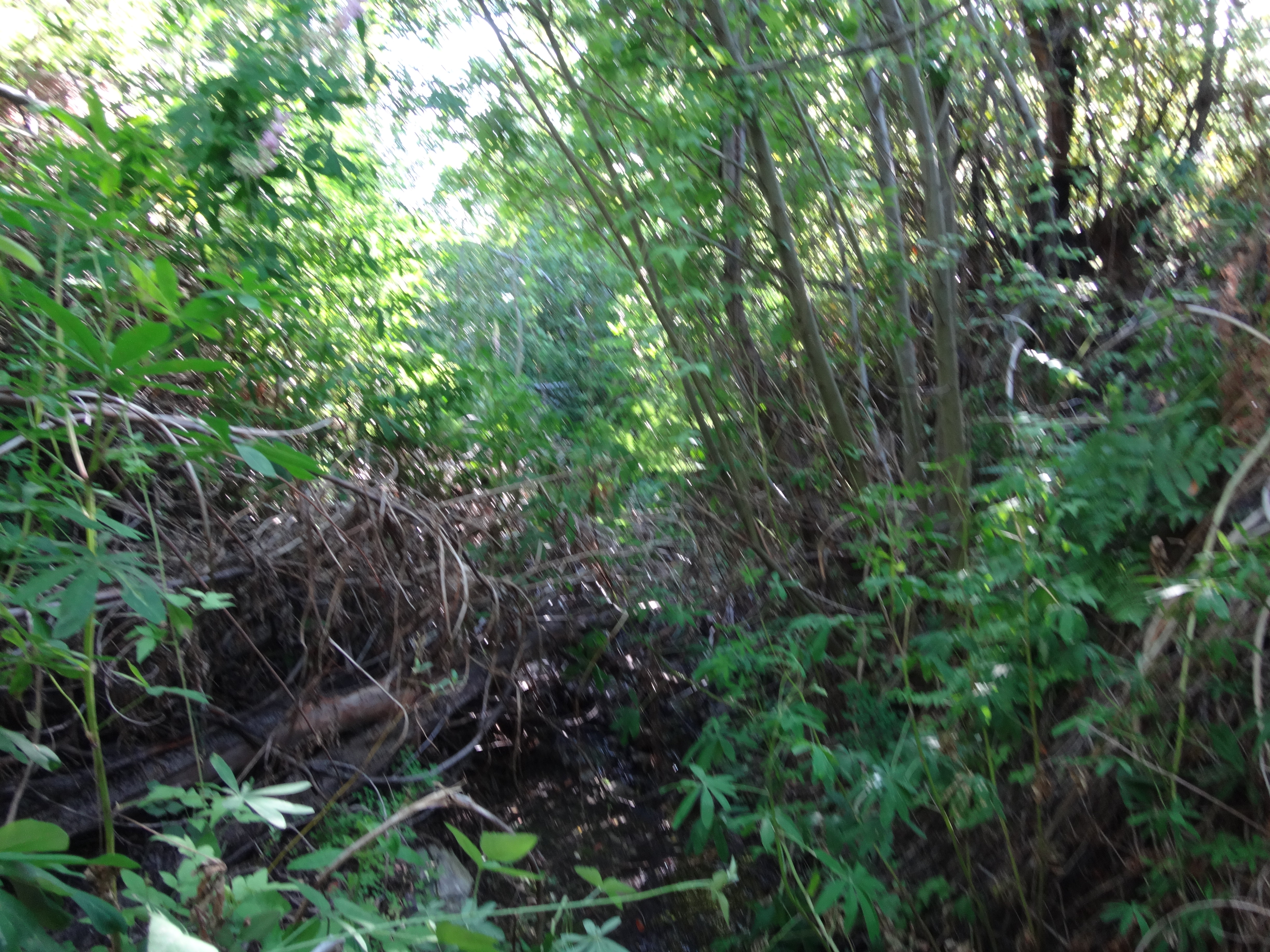
The trail might be followable here, but I certainly couldn't find it. We decided to try our luck in the streambed. This was a nightmare. We exhausted ourselves climbing over deadfall, falling through deadfall, climbing around deadfall, pushing through thorny vines and stinging shit, stepping in pools of muddy water and biting mosquitoes, banging our bodies against branches, crawling through poison oak. Basically moving a couple feet per minute. Hours went by. We collected, treated, and filtered water to keep us sane. Nightfall was approaching. We entertained the notion of spending the night in that mess. Cecelia didn't care for that too much.

Finally, about a half hour before complete darkness, we spotted a flag along the north bank. It was a canyoneer's trail. Not much of one. But while up there I then spotted the actual trail along the opposite bank. What a relief that was!

After scrambling back across the junk in the gully, we were very happy to see a cairned path. Not too overgrown, but not perfect. Even so we would take it.

Unfortunately, Cecelia was exhausted, and I wasn't doing too great either. All of our limbs tingled fiercely from the stinging nettles. Our shoes were soaked. Hands and legs bleeding. Clothes torn. Thankfully we had enough food and water for the extremely slow march out, which would take many more hours. We didn't reach the car until 1am, but we were alive and not in need of a rescue.

Image
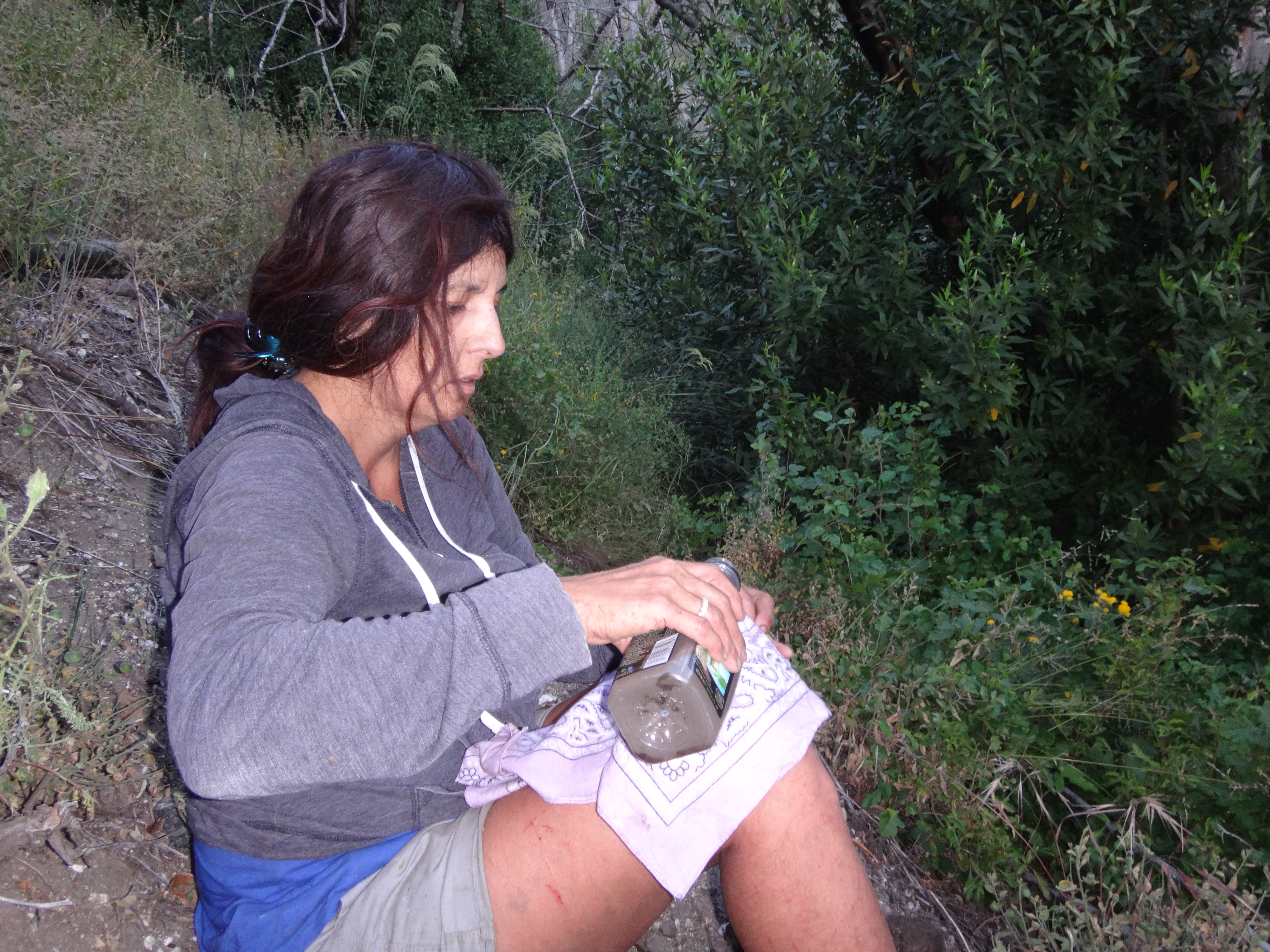
(Bandana filtering the treated stream water in upper Trail Canyon post-sunset.)
User avatar
HikeUp
Posts: 3905
Joined: Thu Sep 27, 2007 9:21 pm

Post by HikeUp »

Egads, good job staying safe and getting out of there.
User avatar
Sean
Cucamonga
Posts: 3929
Joined: Wed Jul 27, 2011 12:32 pm

Post by Sean »

My best guess as to where we lost the trail (between the red diamonds). I probably would have done better navigating had I brought the USGS map.

Image
User avatar
HikeUp
Posts: 3905
Joined: Thu Sep 27, 2007 9:21 pm

Post by HikeUp »

Last time I was in that area (almost 9 years ago!), the trail upstream of Tom Lucas CG was nearly overgrown right through that stretch you marked on the map. Can't imagine it now since the fire.
User avatar
Sean
Cucamonga
Posts: 3929
Joined: Wed Jul 27, 2011 12:32 pm

Post by Sean »

I probably should have read this report from David R. before we went.
David R wrote: Some of my best memories of my first hikes in the San Gabes were up Trail Canyon prior to the Station Fire. The trail was always busy up to the waterfall but from there I would usually have the canyon to myself. The canyon was a bit overgrown especially above Tom Lucas but readily passable pre-fire.

I haven't seen that many write-ups of the conditions of Trail Canyon post-fire recently so decided to give it a shot with a clear limit on how much bushwhacking I would put up with. The route up to the waterfall felt similar to what I remember. There were already numerous parties out going to the waterfall. The water flow was not significant but was continuous throughout the hike. From the top of the waterfall, I only saw one other party for the remainder of the day. The trail up to Old Tom Lucas is in solid shape with only one slightly tricky creek crossing at the mouth of McKinley Canyon.

From hereon the trail fades between obvious to overgrown and faint. The next tricky crossing is at the north fork where you need to climb over some deadfall to get to the creek as opposed to continuing up-stream. After this fork you get to go through a nice brushy section that has been cut through just enough. The canyon narrows and gets quite beautiful as you hike along the canyon bottom on slabs.

The trail climbs the east side of the canyon to get around some small cascades. From here the trail is quite narrow with lots of deadfall. The pace continues to slow as you near the actual Tom Lucas campground. The final 1/3 mile requires some scrambling up a steep 30 foot section to get on a shelf trail that leads you into the meadow where the camp once was. For some odd reason this last section has no real footpath as it tapers out. Find your way through faint use trails to the far end and you can see the memorial, old stove, and fire ring that is all that is left over of the campground.

There is a faint trail that exits the campground to the left that after 100 yards disappears into some whitethorn and it appears you're pretty much on your own for the next mile and a half to the saddle. I had already put in two hours to get to this point so was quite satisfied with stopping as I've hit all the points around this area multiple times on prior hikes.

The way back was much easier and the weather was perfection so I stopped often to enjoy the weather. The trees in the canyon are sorely missed but all the other vegetation has grown back and then some, without the shade from the trees. I stopped at the top of the waterfall to have a look down the drop and enjoy some vertigo. There were even more people on the trail going to the waterfall then in the morning. It looks like Trail Canyon is almost back in business.
User avatar
HikeUp
Posts: 3905
Joined: Thu Sep 27, 2007 9:21 pm

Post by HikeUp »

Meh. Planning ahead is for the weak!
User avatar
tekewin
Posts: 1238
Joined: Thu Apr 11, 2013 5:07 pm

Post by tekewin »

You guys are troopers and I'm very glad you are OK.

FYI, here is what I wrote in my report when Uncle Rico and I did those peaks April of 2015:
When we started planning this hike, we wanted to make it a loop, coming down Trail Canyon from Iron. The research I had done on a recent trip report suggested the canyon was not maintained and clogged after Tom Lucas Camp. I was wary of descending into a nasty pit, with flashbacks of Hot Spring Canyon and Tanriverdi Falls. Still, we debated the merits and the shorter distance of returning through the canyon. Madison wanted to complete the loop and it certainly sounded more appealing. We agreed to give it a shot. Before leaving the summit, we opened the register to sign it. Reading an entry from 2014 by Amin Faraday, (a veteran hiker with over 200 HPS summits), he described his ascent up Trail Canyon as "horrendous bushwhacking...never again!". That persuaded us to return along the road.
User avatar
Sean
Cucamonga
Posts: 3929
Joined: Wed Jul 27, 2011 12:32 pm

Post by Sean »

Thanks. Even though my pre-planning was somewhat lacking, I know myself pretty well, and I'm sure that if I had read these prior reports, I still would have gone straight into the heart of that horror in search of desperately needed water--and adventure.
User avatar
JeffH
Posts: 1206
Joined: Sun Nov 28, 2010 7:09 am

Post by JeffH »

Yikes, that's an adventure! Glad you made it out safely and you might have the scars for memories too.
"Argue for your limitations and sure enough they're yours".
Donald Shimoda
User avatar
runfree
Posts: 2
Joined: Mon May 29, 2017 6:24 pm

Post by runfree »

I have experienced same as you did yesterday. I started from Condor trail and summited Fox Mt then Condor Peak. Then coming down on Trail Canyon trail and it was the start of the mess.. There were many bushwhacking through many the buckhorns bushes, some as high as 5 fts or even more. One bushes went through encountered a rattlesnake and rattling like mad and I couldn't see where it was! Then just like you did at Big Cienega area, where the trail just disappeared through a dense. All of sudden the path infront turned into mess of deadfall, trees and I couldn't even see what's ahead except of deadfall. I tried crawled, climbing over some deadfall, and like you did stumbled from climbing over deadfall. I had a map, and I knew the trails are infront, but the nature just covered all possible path that you think you can successfully find the right path. I was low in water. I had no choice and didn't want a rescue; I backtracked all the way back to Condor trails and down Fox Mt trail back to mile marker 4.5 start.

If I done more research find this blog, I wouldn't possibly try my luck at this Trail Canyon trail.. but what an adventure and I learned some lessons..
User avatar
Sean
Cucamonga
Posts: 3929
Joined: Wed Jul 27, 2011 12:32 pm

Post by Sean »

runfree wrote: I have experienced same as you did yesterday...
I'm glad you made it out okay. Backtracking over Condor must have been exhausting. Was the spring running along that trail?

In Trail Canyon there might be a better scramble below Big Cienega up along the south-facing slopes, instead of trying to follow the old trail along the stream. But I'm not going back to confirm that.
User avatar
runfree
Posts: 2
Joined: Mon May 29, 2017 6:24 pm

Post by runfree »

I didn't exactly too despair to continue find the right path where ended Big Cienega. It was way too many deadfalls. I didn't hear any spring anywhere around that area. I didn't have any filter that day and I only carried about 100oz. I had to conserve and take sip when necessary. I ran out on the way down Condor trail and luckily someone (the only one person that day) came behind me and I asked for any spare water and he offered me 20oz! It was like an angel sent from heaven!

I had a map with me, but I didn't take anymore chance to keep bushwhack to find the trail since I was low in water and backtrack was my safest option.

You guys were such a troopers made it out and finished the hike. I don't think I will go back there anymore ever again.. I might come up from Trail Canyon Fall trail and pass Tom Lucas trail and see how far I can go..

I think someone really needs to put up a sign at the top of Trail Canyon trail junction where the burnt brown sign and note "Trail impassable below".
Post Reply