Since I had to be around the house for the kids on Monday morning I decided to tag a few front country peaks I'd neglected and see some other bits of trail I had yet to set foot on on Sunday.
I ended up getting a later start than I had wanted as I had planned on being at the trail head by 5:00 to beat the heat on the last leg back to Eaton Saddle. I ended up arriving a little after 6:00 and by the time I got my running shoes on and all my odds and sods sorted it was 6:15 before I set off.
Up the fire road from the saddle, through the Muller tunnel and to the saddle that separates San Gabriel Peak and Markham I took the trail to the left that leads to the saddle between Markham and Lowe. Making good time to the saddle I decided to warm up on the less steep trail to the top of Lowe, so that would be the first peak of the day.
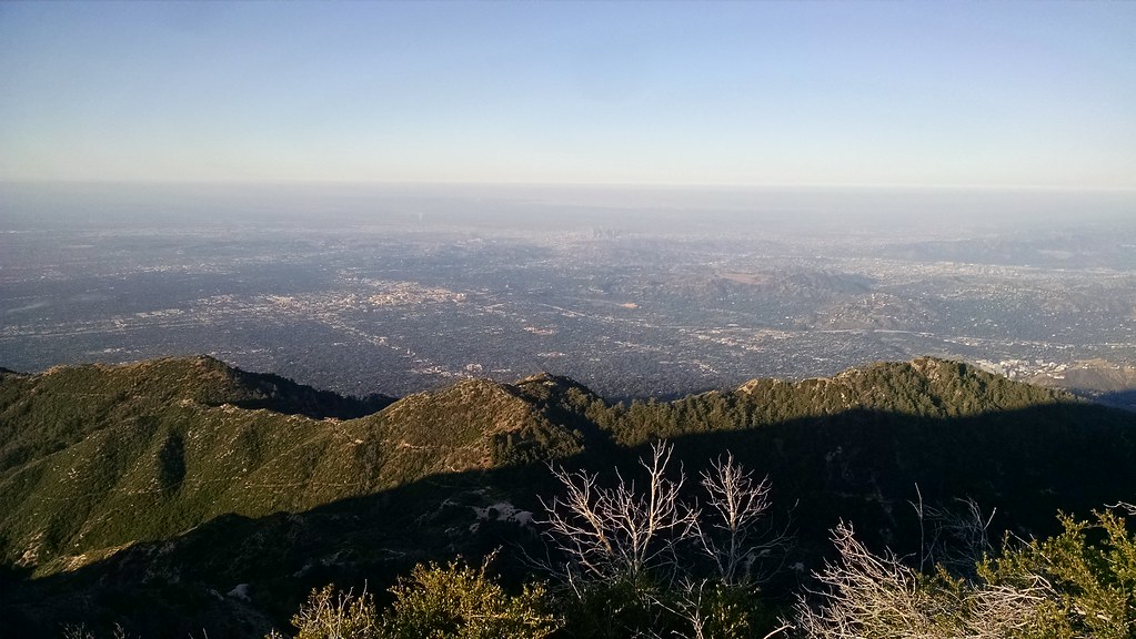
Echo Mountain and Pasadena beyond from the top of Lowe
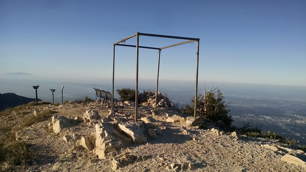
Old pipe structure, benches and viewing tubes:
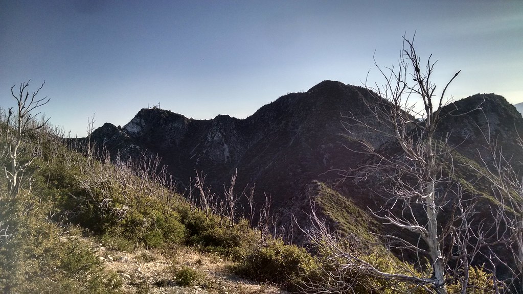
Disappointment, San Gabriel and Markham
With the first peak of the day in the bag, it was down the way I came and back to the saddle between Lowe and Markham to make my way up the latter. The use trail to the top was in good shape, with very little PDB along the way up which I heard used to be a bit of an issue. Went all to way to the far end of the ridgeline that makes up the summit of Markham and looked back down to where I had started at Eaton Saddle
Eaton Saddle
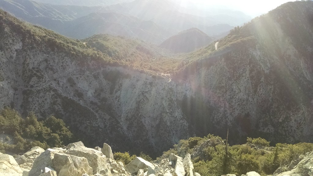
Disappointment & San Gabriel from Markham
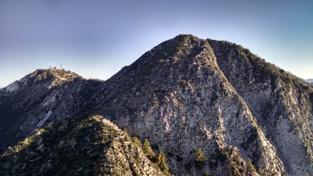
I stopped and futzed around with my watch at the top of Markham. I love nerding out over data points and all sorts of metrics so I picked up a Suunto Ambit 3 Peak before Christmas with some money I won in a raffle at work. Well to make along story short, the watch has a gps receiver in it and will record a track while you are moving. Moving is the key as I had set up the trail running profile to make use of the auto pause feature. Once you drop below 1.2 mph the watch pauses track recording until you get back above 1.9 mph. Well, when going up really steep stuff you might not get back above 1.9 mph for a little bit so it skews your track recording. I got to the top, saved my current track and got out my phone to make the adjustment to the watch profile to turn off autopause. That's another problem with the watch, you cant adjust some of the parameters on the watch itself. You have to either sync it with your computer via a cable or via an app with bluetooth. I uninstalled the app from my android phone and put it on my iPod because it was making my phone crash/bootloop. Oh well, 5 min wasted fiddling with that.
Now it's 7:15 and two of the peaks on today's list are in the bag. I start back down Markham, jogging where safe and slowing down where necessary. Made it down to the saddle between Markham and Lowe with no drama and went back the way I came to head to today's next objective. Passed a group of 5 mtn bikers coming down the trail, it was wide enough that we could give each other enough room so I didn't even have to break my stride. Got back to the junction with the fire road from Eaton Saddle and then headed across and up to San Gabriel Peak. I had been to the top of San Gabriel Peak before, but since it was there and not a terribly long detour I went ahead and went to the top.
San Gabriel Peak benchmark
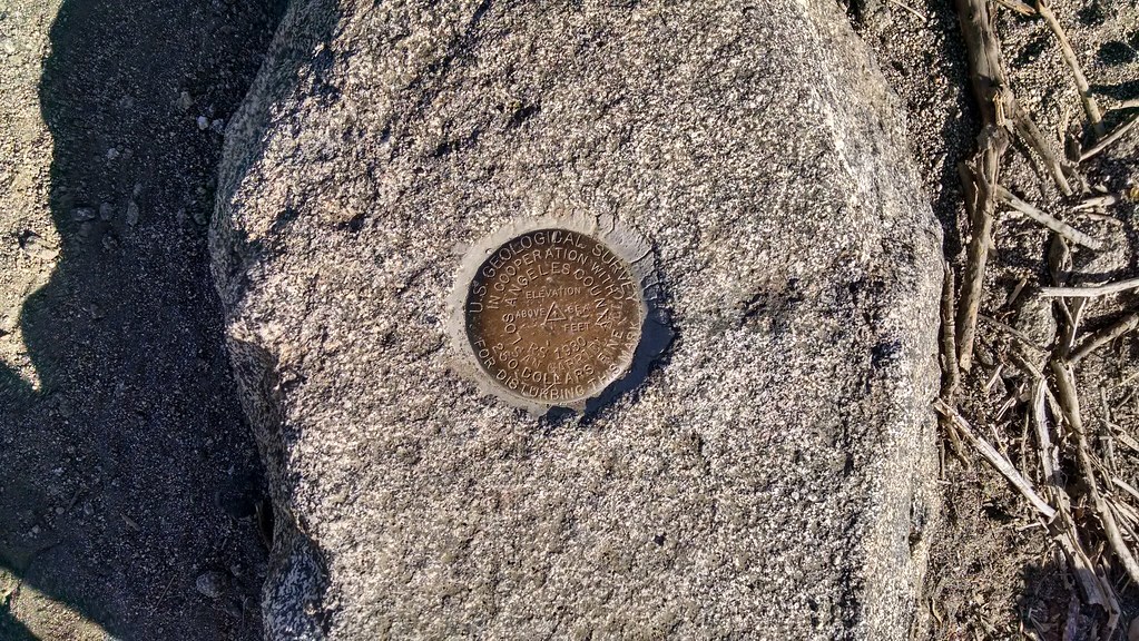
Markham and Lowe from San Gabriel
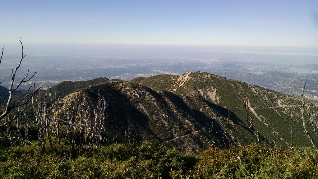
Register box and benchmark
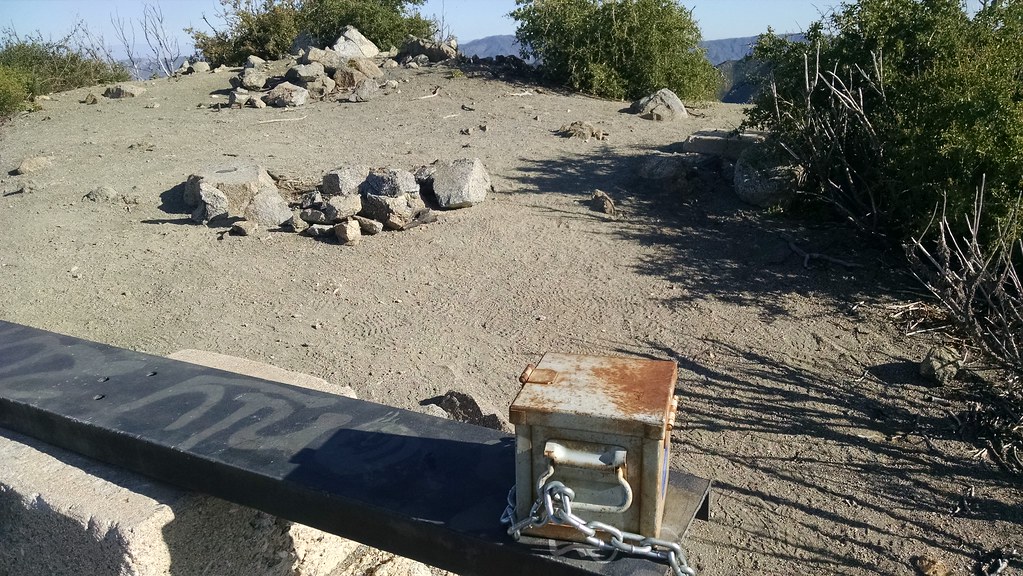
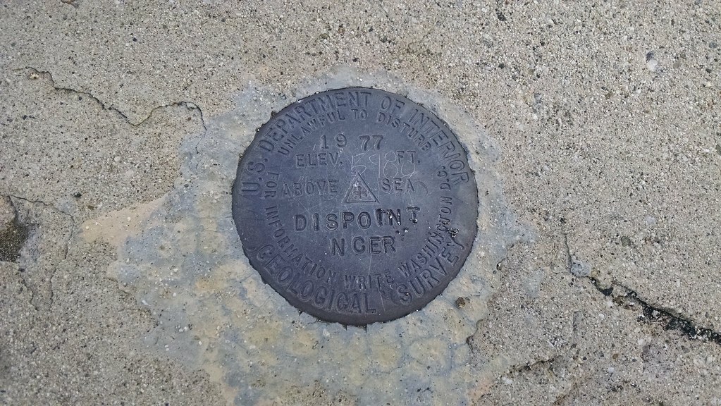
Rested for a minute here, signed the register which wasn't there the last time I was at the top, and then back down the way I came. From there It's a short jaunt up to the saddle between San Gabriel and Disappointment which was the next on the list. At the saddle it's paved all the way to the top of Disappointment which holds a bunch of comms towers and was the site of a nike missile battery during the cold war. Found the bench mark, snapped a pic and went to the rock outcropping at the far end to eye up Deception.
Benchmark
From that vantage point I decided that the route to Deception would entail too much road walking so I made the call to call it a day at 4 peaks and head back down the road to where the Bill Riley trail branches off and makes it's way down to Red Box Road. The trail from here was in pretty good shape - as it's part of the Mt. Disappointment 50k route they tend to keep up on the maintenance of that leg. Made it down to Red Box Road and a quick road transit section down to Red Box proper I headed down the Gabrielino Trail and made my decent down to where the West Fork of the San Gabriel River Starts. It didnt take long before I had crossed the Red Box truck road and made it down to where the trail crosses the stream a few times. Being we had really wet winter and it's pretty early in the season the West Fork is flowing pretty good. I stopped in one shady section to take my hat off and grab my buff out of my pack and soak it in the streams nice cold water and rinse the sweat from my face. I gave it one last soak and put it on my head and set off. From here the trail was in good shape, with only a few short sections being a little overgrown due to the rain this winter.
I passed the turn off to the Valley Forge campsite and headed up hill, a bit further up from that you come to the turn off for the Valley Forge trail. Decision time - I could head further down the Gabrielino Trail and catch the Kenyon-Devore trail up to the top of Mt Wilson. This would have put me close to completing the 25K portion of the Mt. Disappointment Trail Race course. This would also add another 3 or 4 miles, and require running a long road section to get back to my truck at Eaton Saddle and put me hiking up the back side of Mt Wilson in hotter part of the day. No thanks. Up the Valley Forge trail it is!
Not a whole lot to report here. 2.5 miles from the bottom to Eaton Saddle The trail is very overgrown in quite a few spots due to all the vegetation going crazy with this winters ample rains. No washouts or anything of that nature, the trail itself was in pretty good shape. You can tell that it doesn't get a lot of use, which is a shame as it's a pretty good trail. It's shaded for a good portion of the climb up to Eaton Saddle. The grade is not too steep except for a few spots as you can tell at one point in time there was a narrow road that went down here. The last 1/4 mile or so before the top the trail is clear as someone as been doing some work. Hopefully they will continue on down the hill.
Made it back to my truck at Eaton Saddle at 10:45. A bit slower than I had intended, but due to all the stopping and taking breaks at the tops of the peaks and then bushwhacking my way up the hill on the last section back to my truck I'm not terribly upset. Any time out on trail is good time
Stats for this loop: 12.75 miles - 4:20 min - 3800' of elevation gain - 6161' max elevation - 3622 min elevation - avg pace 16:05
Caltopo link to my route: https://caltopo.com/m/8HBP
