

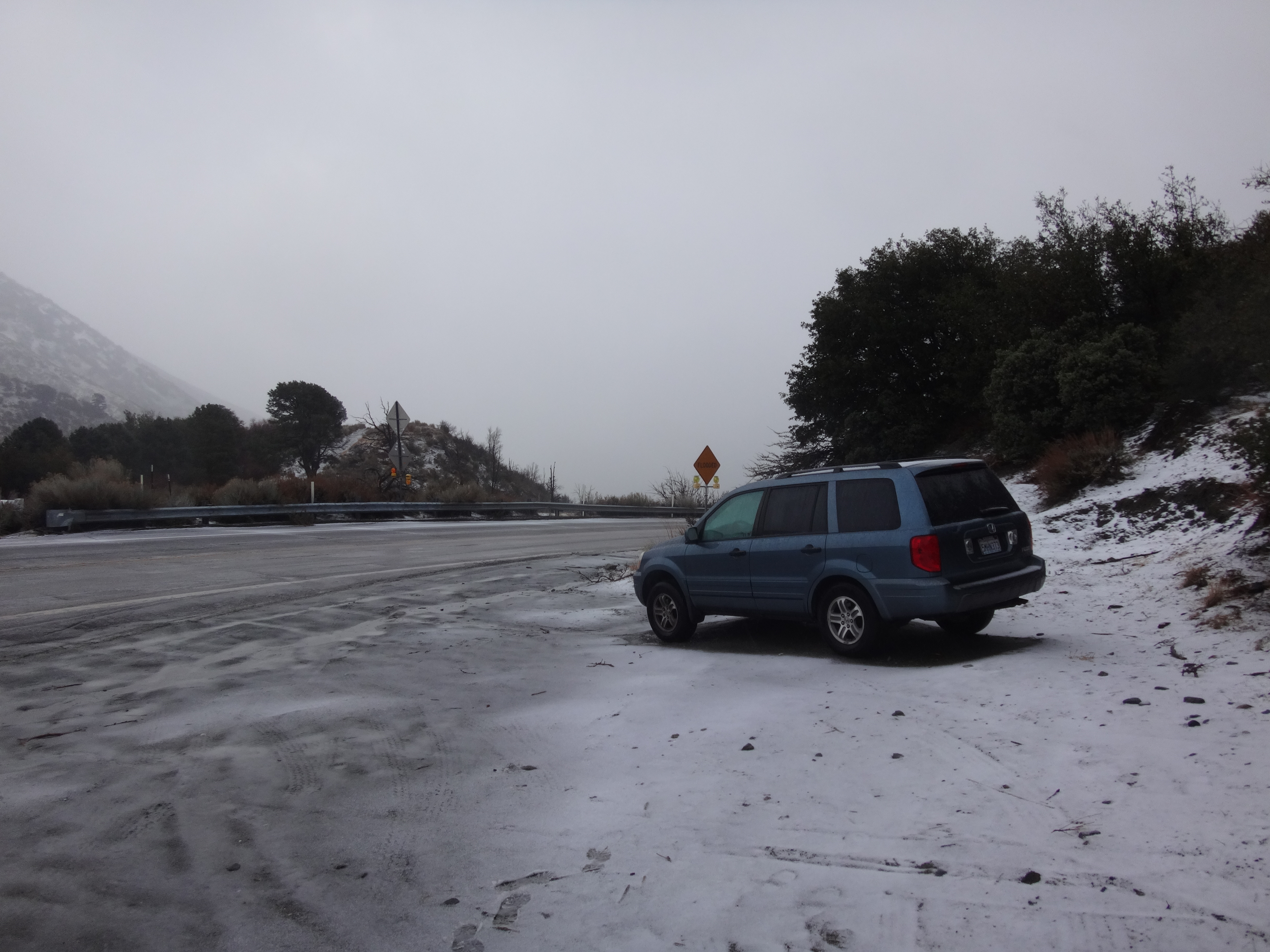
The road was paved. It began by contouring around the south side of Table Mountain, bypassing the Government Test Facility and JPL observatory.
After 1.4 miles of the road, there was a trail crossing.
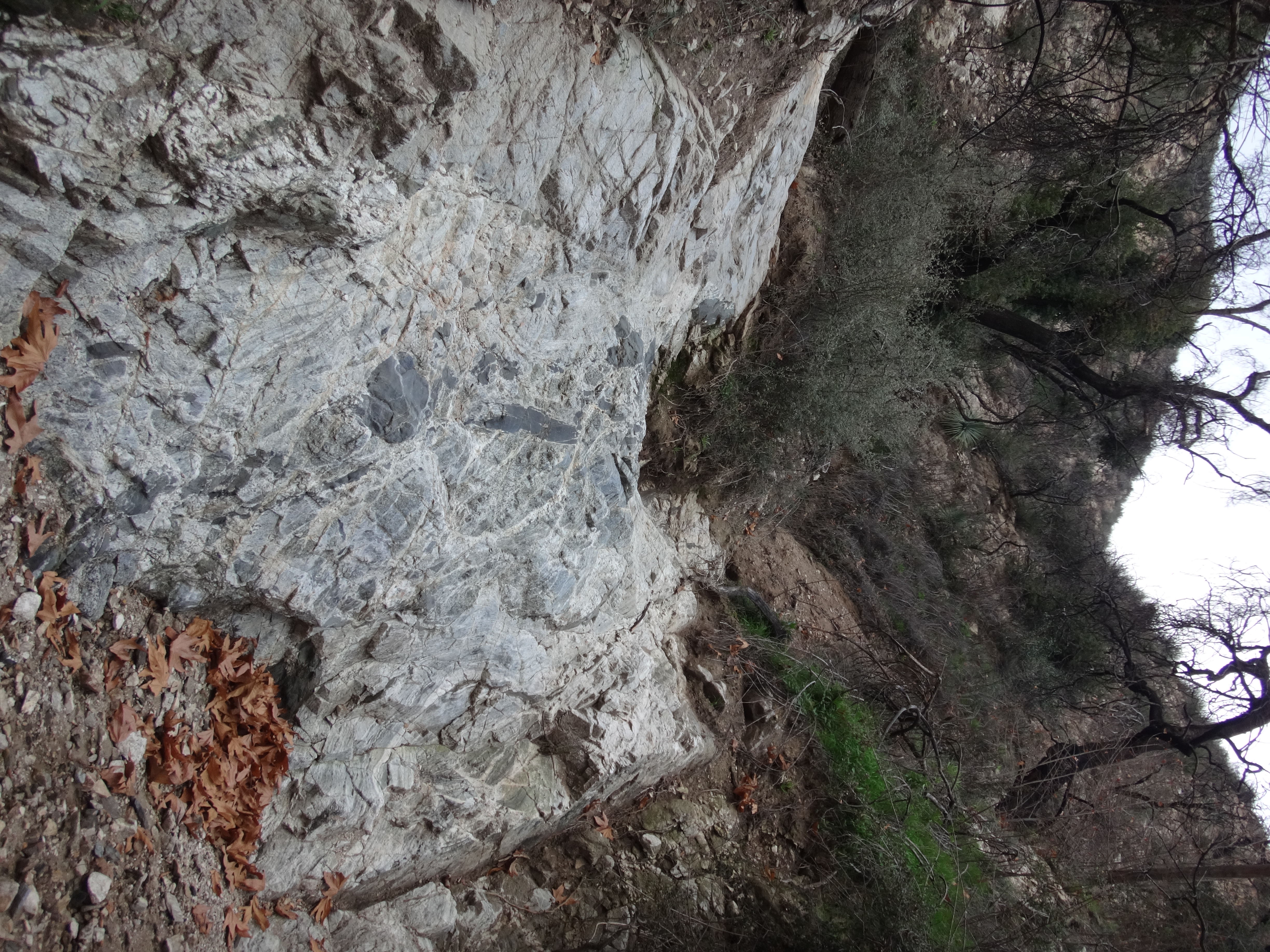
We took the singletrack, which offered a pleasant alternative to the road. The road was nice enough, with trees and little flowers, but it wasn't as pleasant as a trail, which almost always increases one's enjoyment of the wilderness.
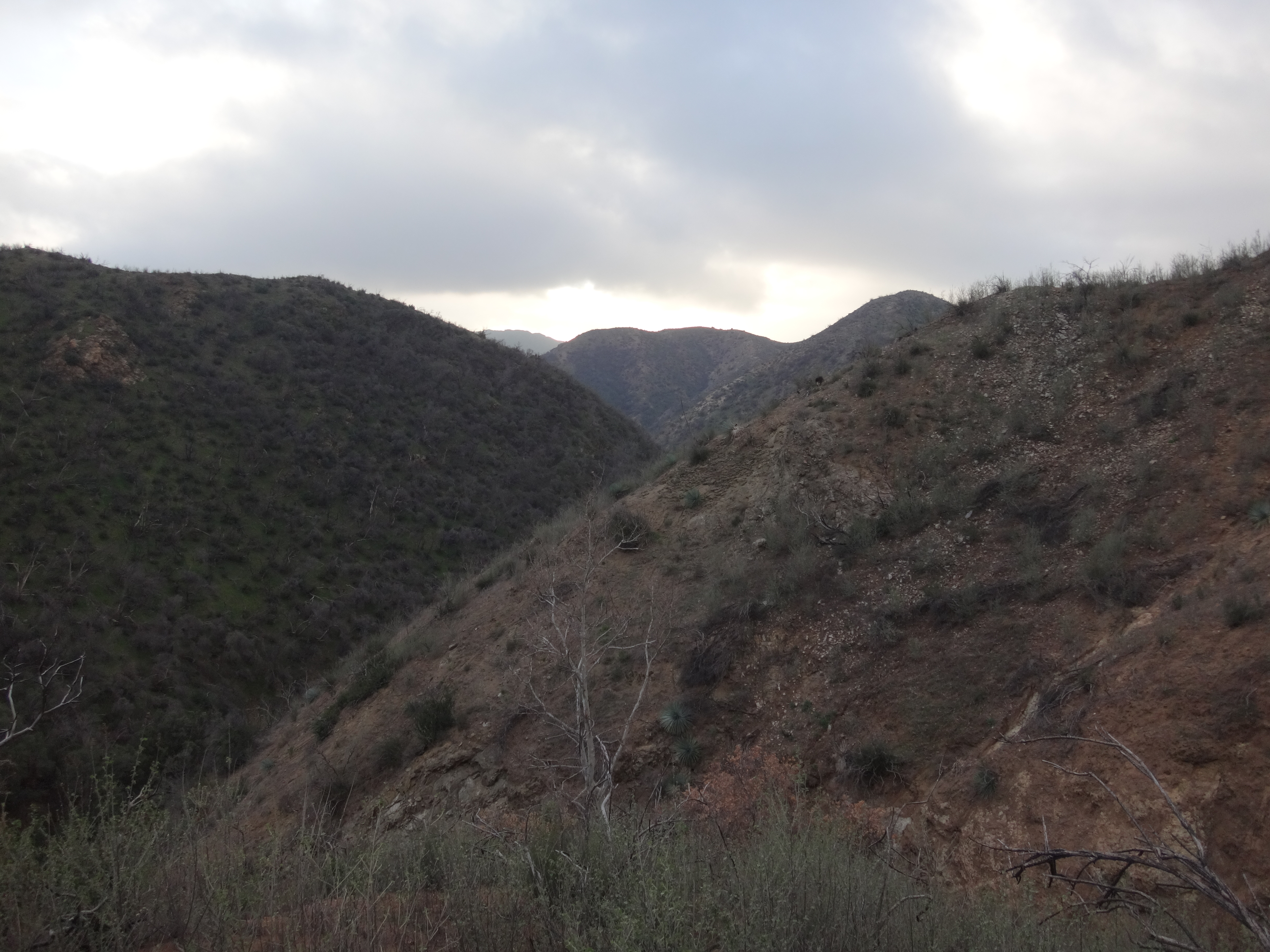
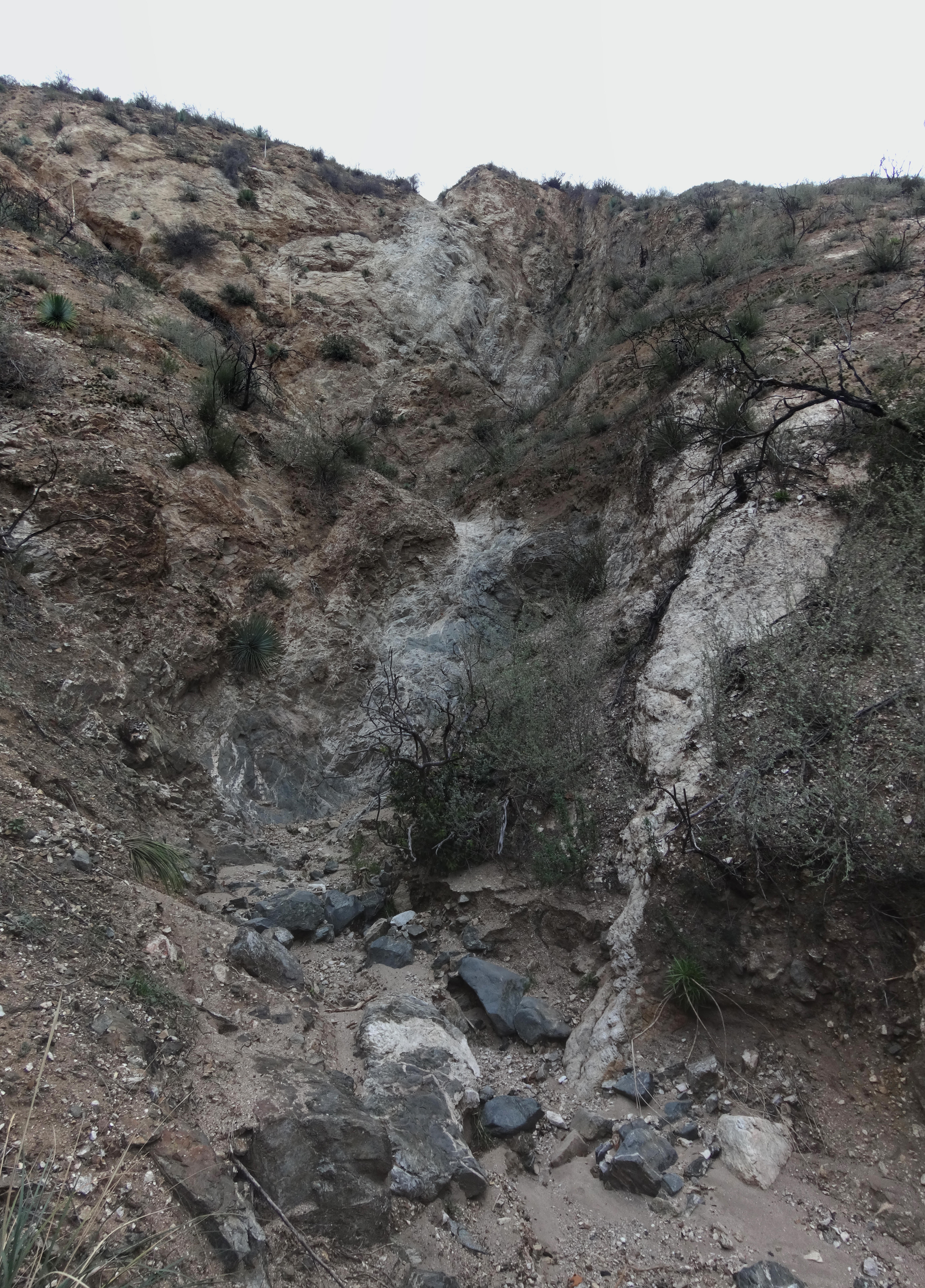
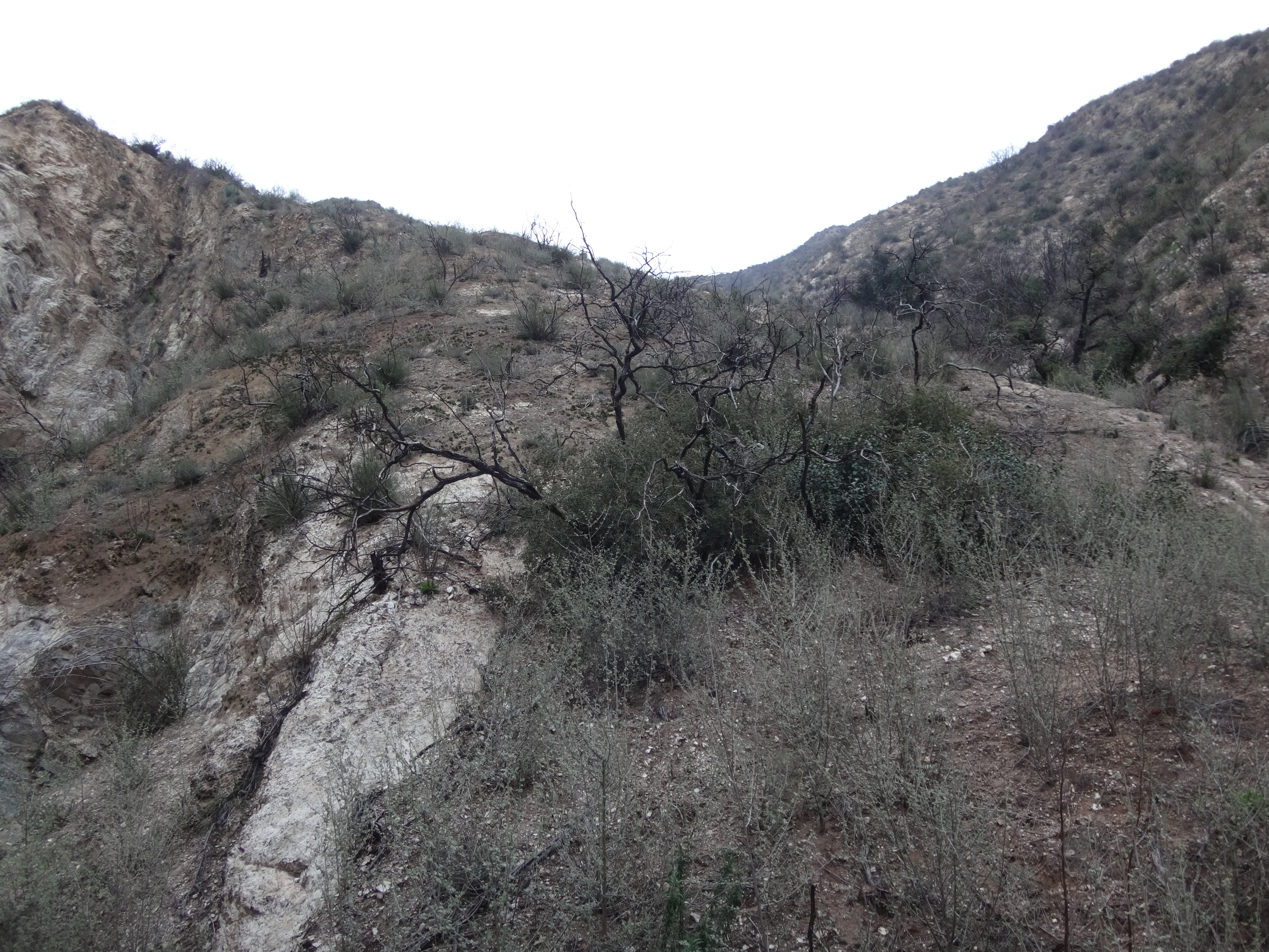
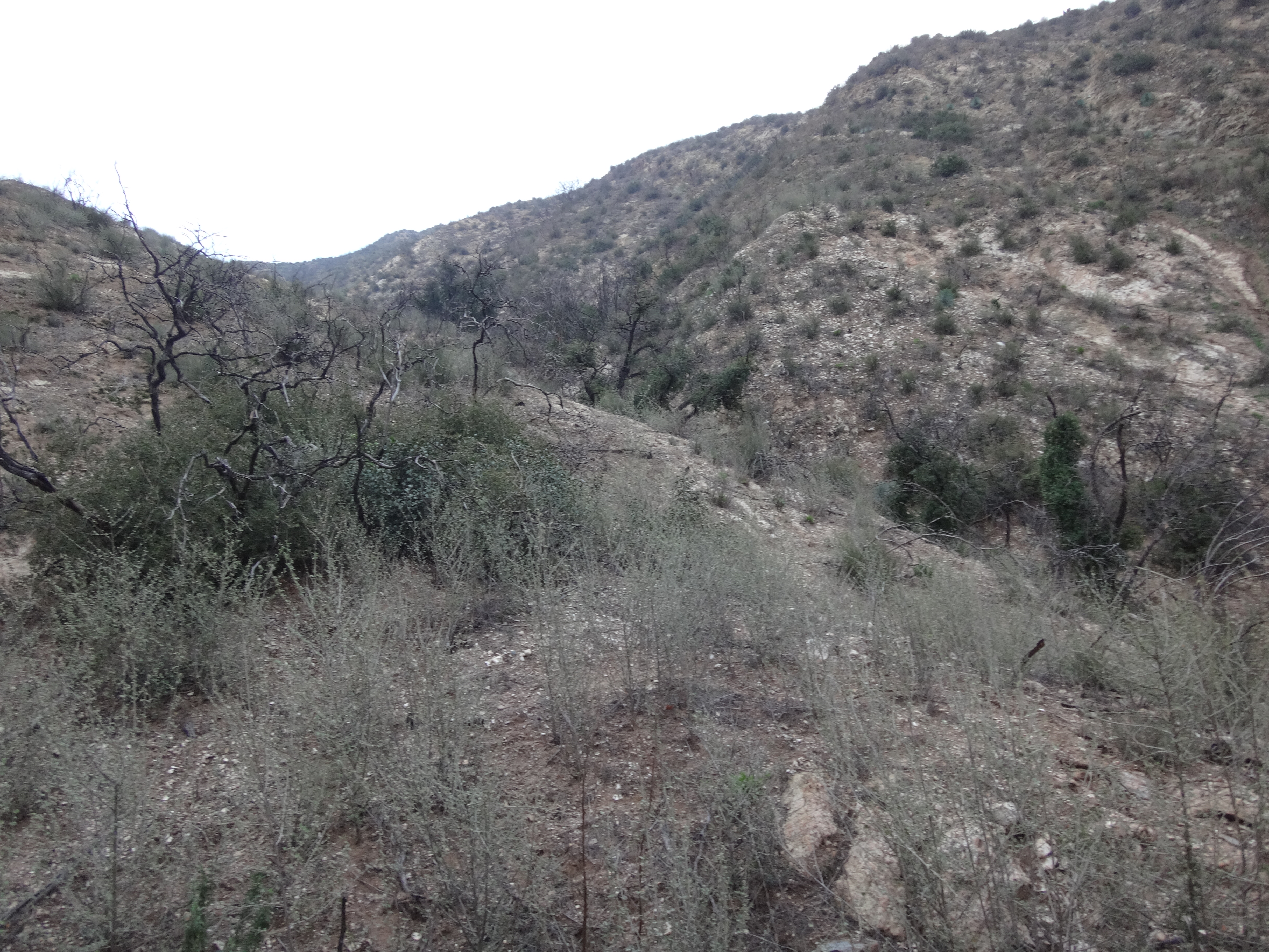
After another road crossing the deteriorating dirt path took us to an old corral.
If we had stuck to the pavement, this neat log fence would have been missed. And Cecelia would have had less total smiles.

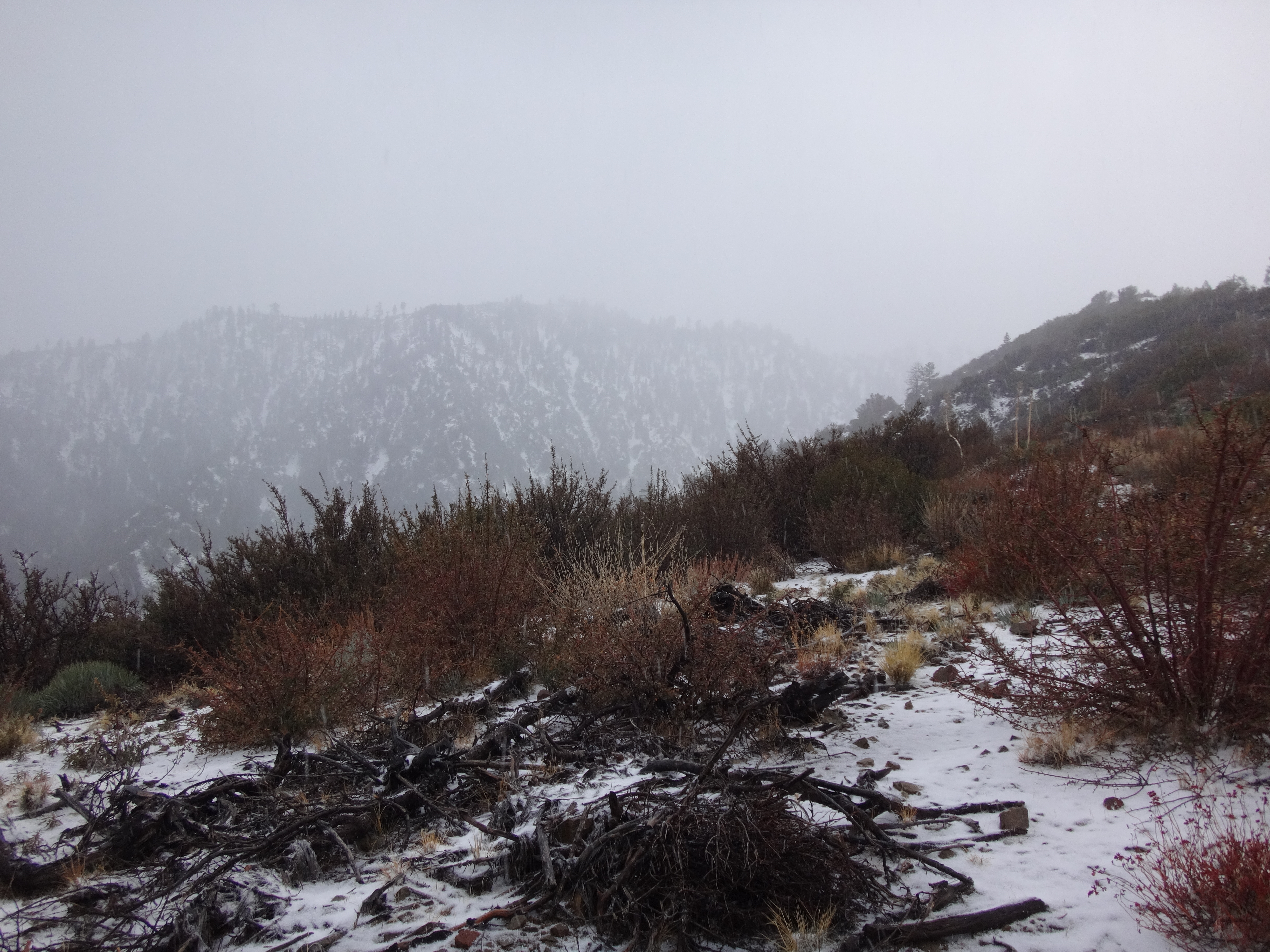
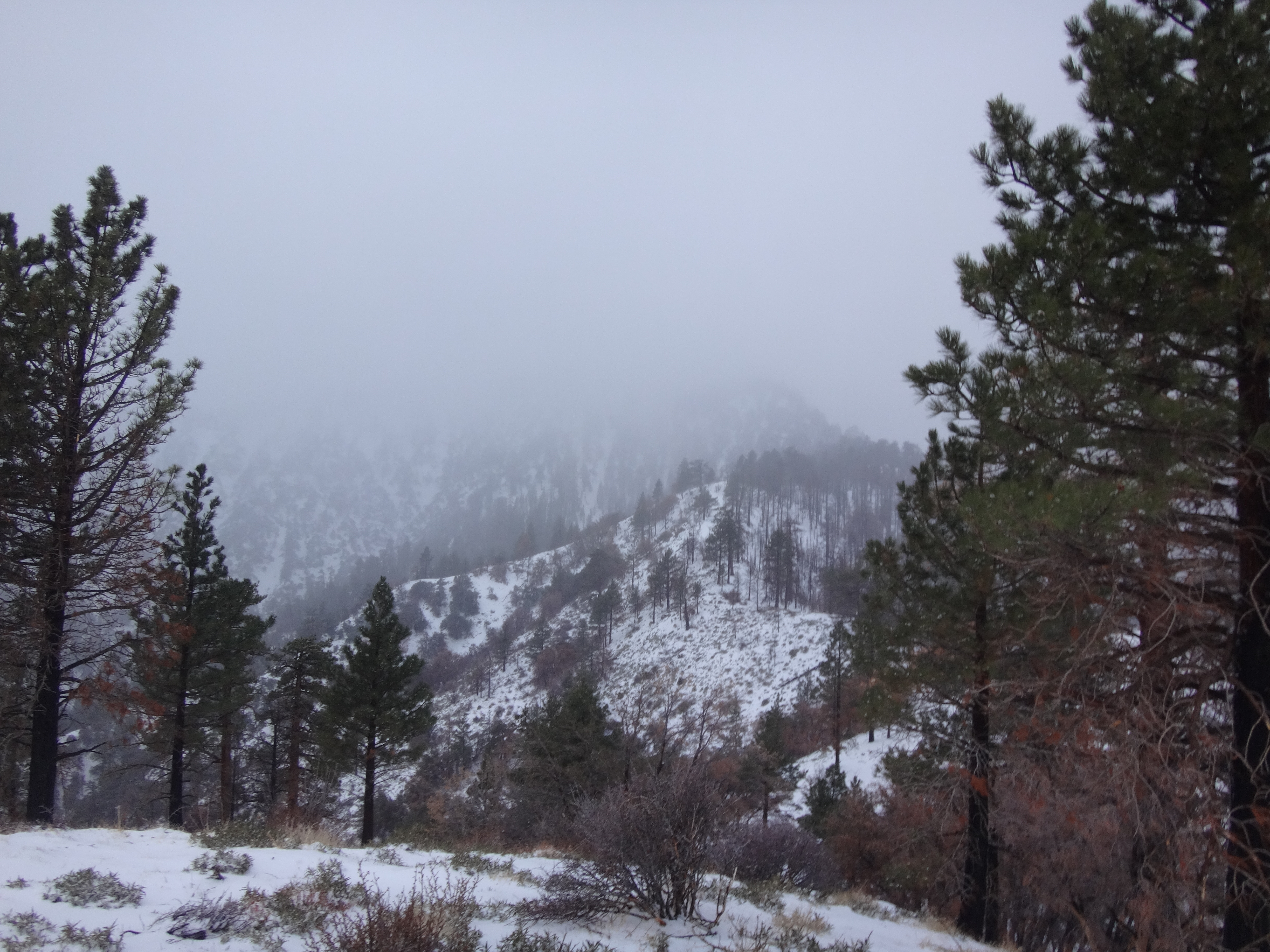
After the corral, there was a couple hundred feet of gain before reaching the road again. At this junction was also the driveway leading up to Peak 7473. Another short elevation gain on the splinter road put us atop a flattened summit with some buildings, electronical schtuff, and lots of viewspace.

Like some mad surveyor, Cecelia searched the peak for a benchmark. She found a square piece of concrete that looked like it once held a disc. Unfortunately that mark was now missing.
We ate a bit and goofed around, while being recorded by the security cameras attached to the structures.

Baden-Powell was making a scene to the west.
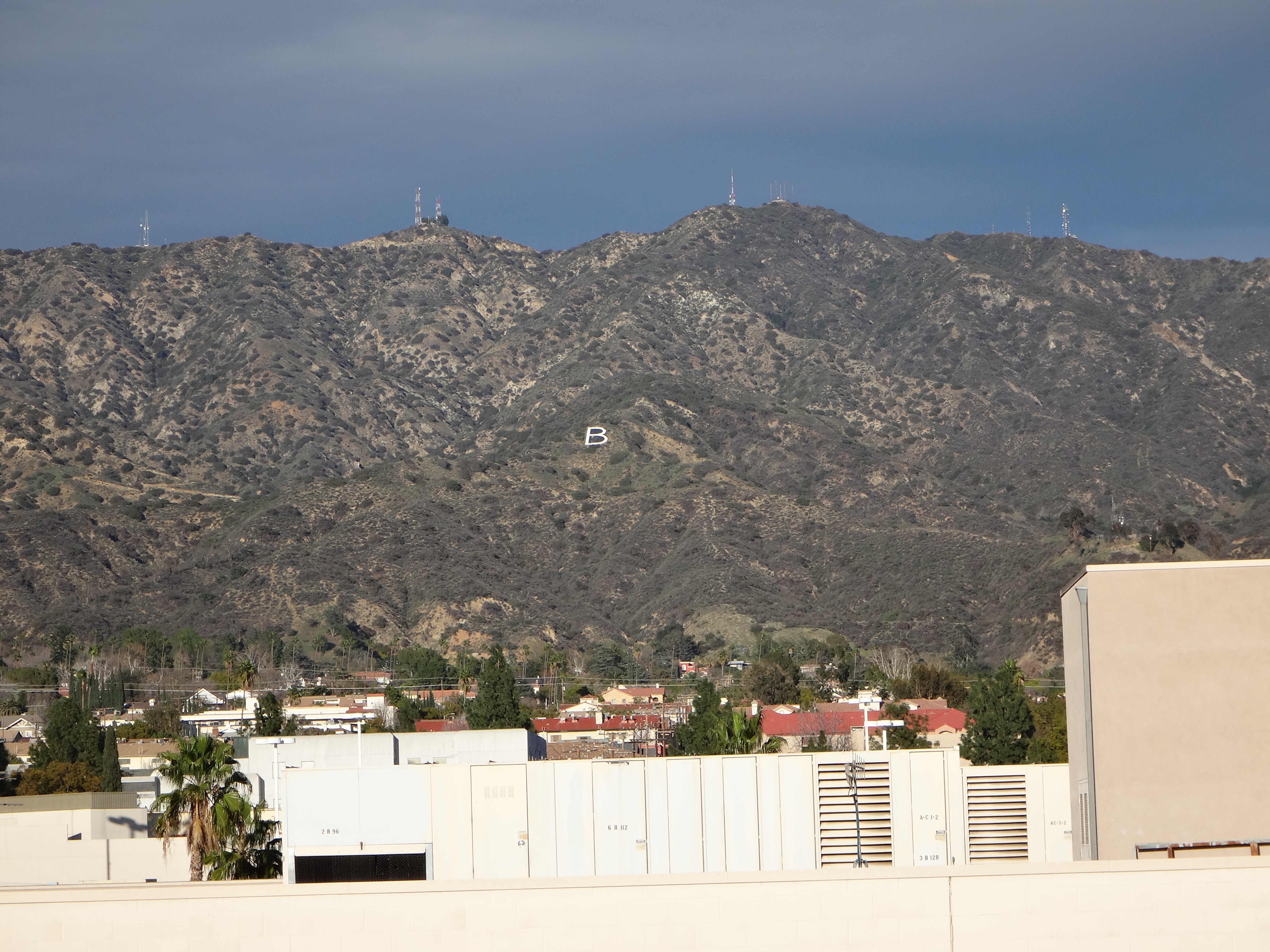
Members of the Wrightwood Hiking Club began appearing on the summit. We talked with an older woman named Pat, who introduced us to her tiny dog, Scout. I asked if she had a name for the peak. She said she calls it Microwave Center, because of the microwave towers. And, hey, that's good enough for me.
We learned several other things from Pat. For example, the locals call 4N21 the McClellan Trail. It begins near McClellan Flat. Also, Pat's husband built the dirt trail that we took. I met him briefly in the parking lot and thanked him for the trail work. It's amazing how much you can learn when you stop to talk with folks, particularly if those folks have gray hair and a teeny tiny dog.
Below is the Wrightwood group departing down the driveway. Blue Ridge is in the near distance to the right, with icy Baldy poking its head up from behind. Glorious San Jacinto stands tall in the hazy distance to the left.
And here is the map. Paved road in blue. Dirt trail in green.

